The rain has set in and the days are short. Avoiding boredom necessitates a little creativity, which for me includes revisiting past hikes, editing images and trying to fashion a reasonable representation of a place.
The approach is from Tonasket, west to Loomis and then up the Toats Coulee Road to the Iron Gate Trail head.
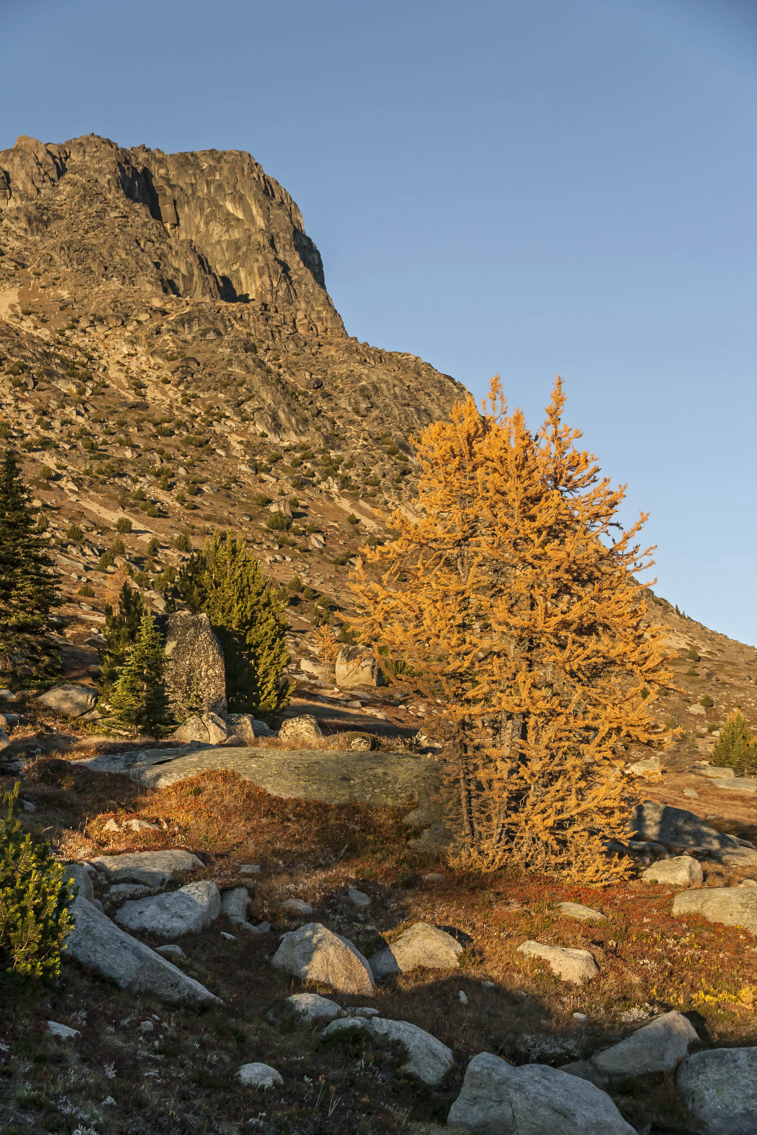
The sky was blue and trees bright.
 Iron Gate Trail Head Trees
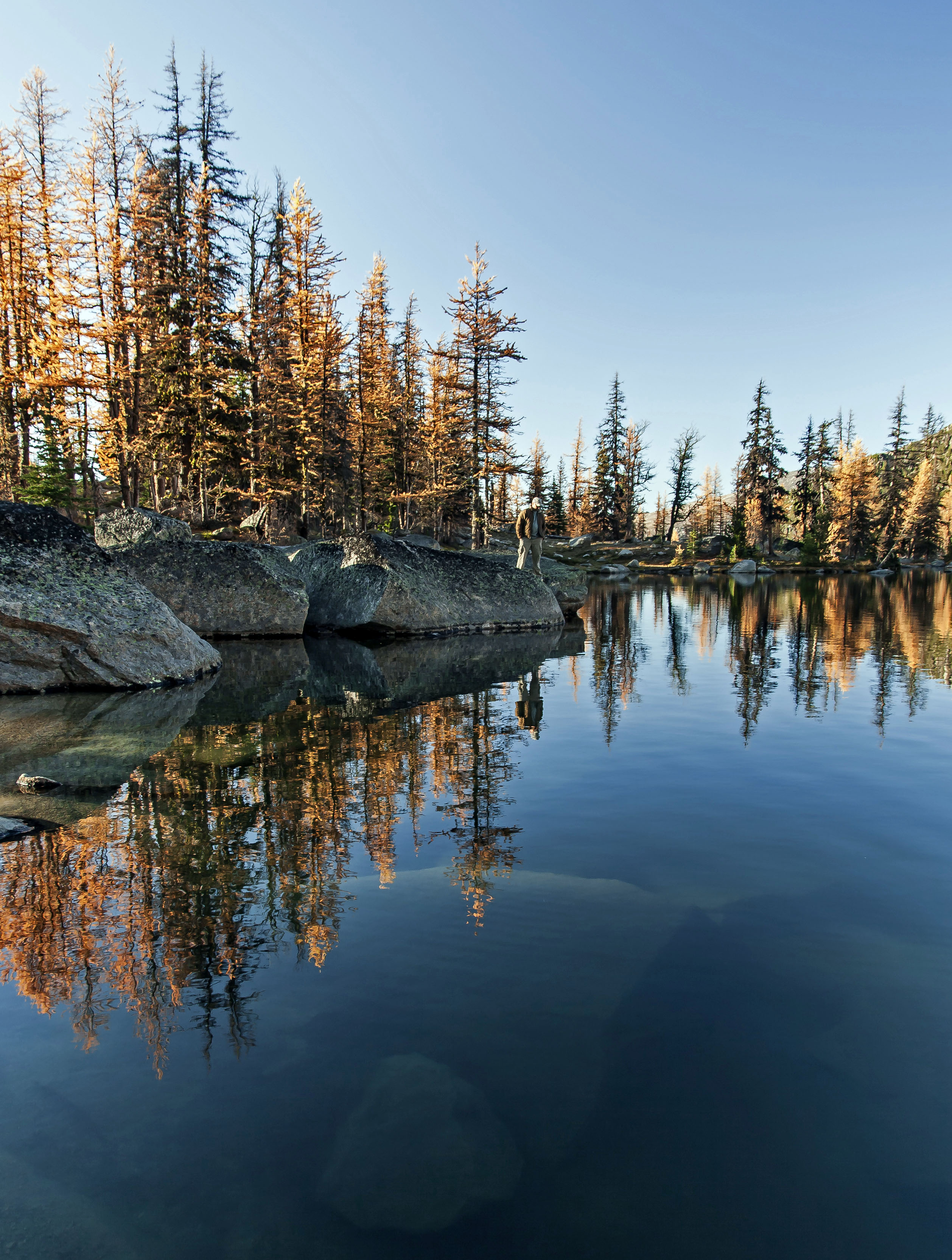
The trip along the Boundary Trail (Doubling as the Pacific Northwest Trail) offer long vistas, green forests and in early October, brilliant orange larch.
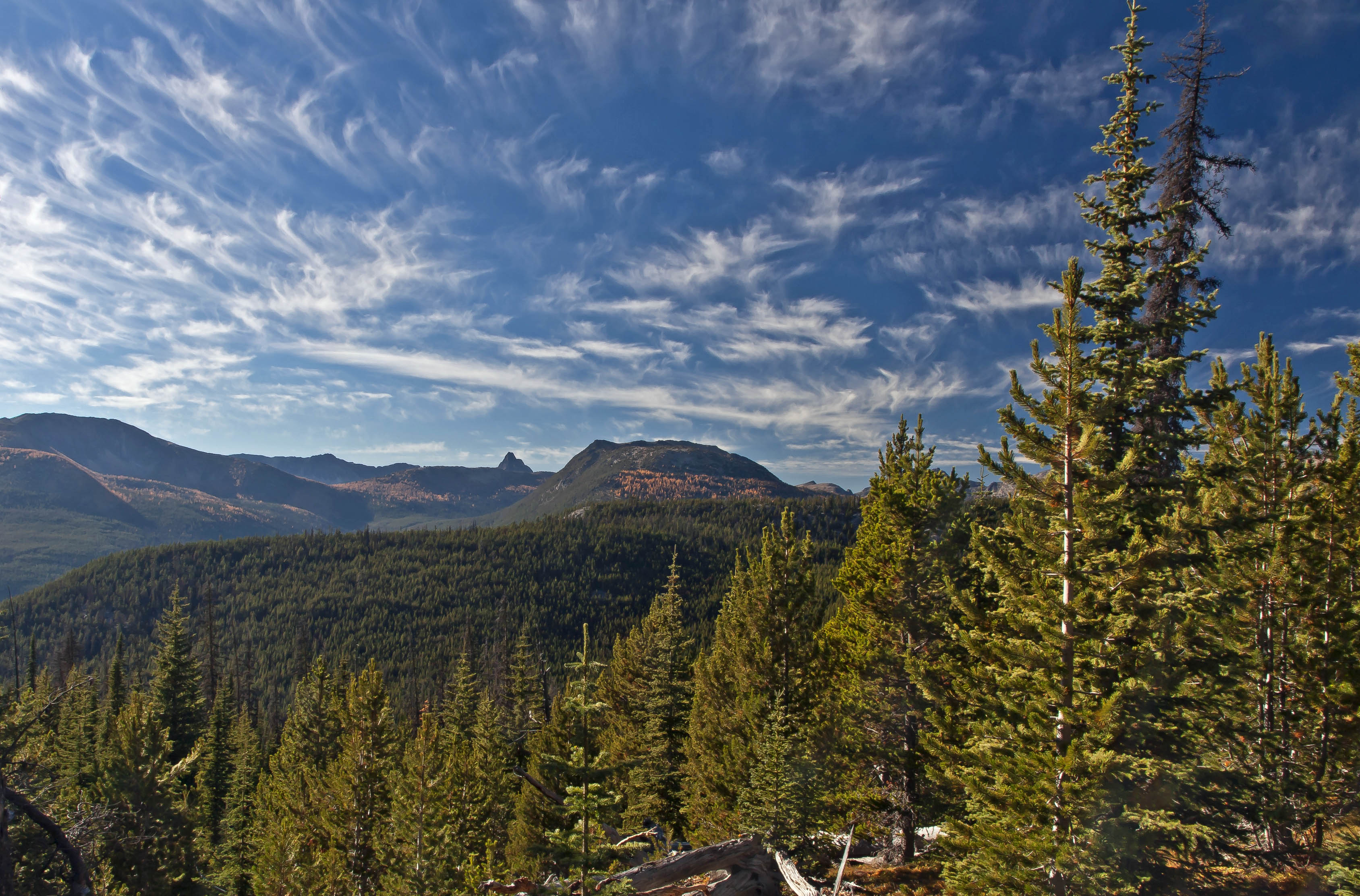 Boundary Trail
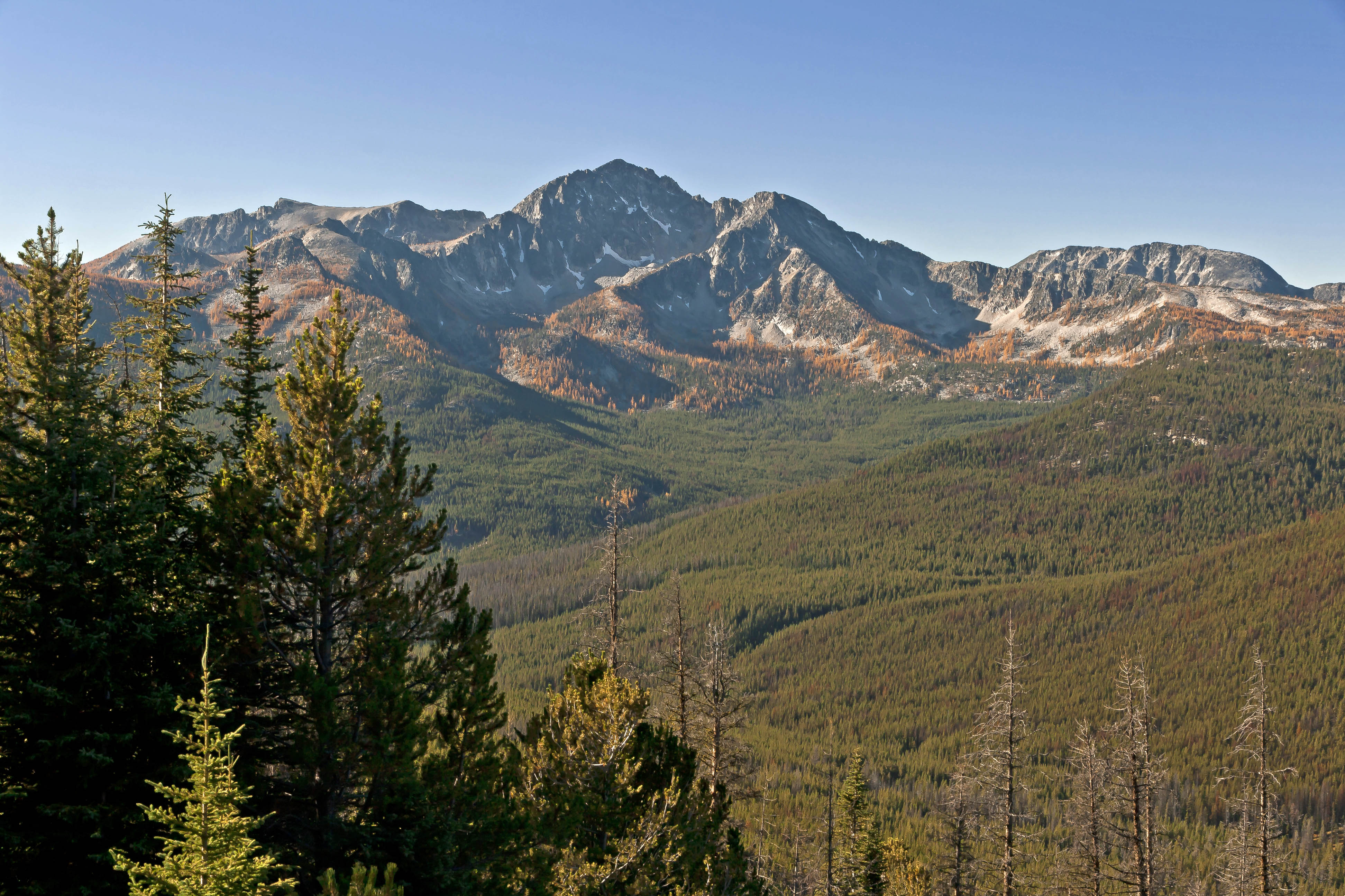
 Windy Peak
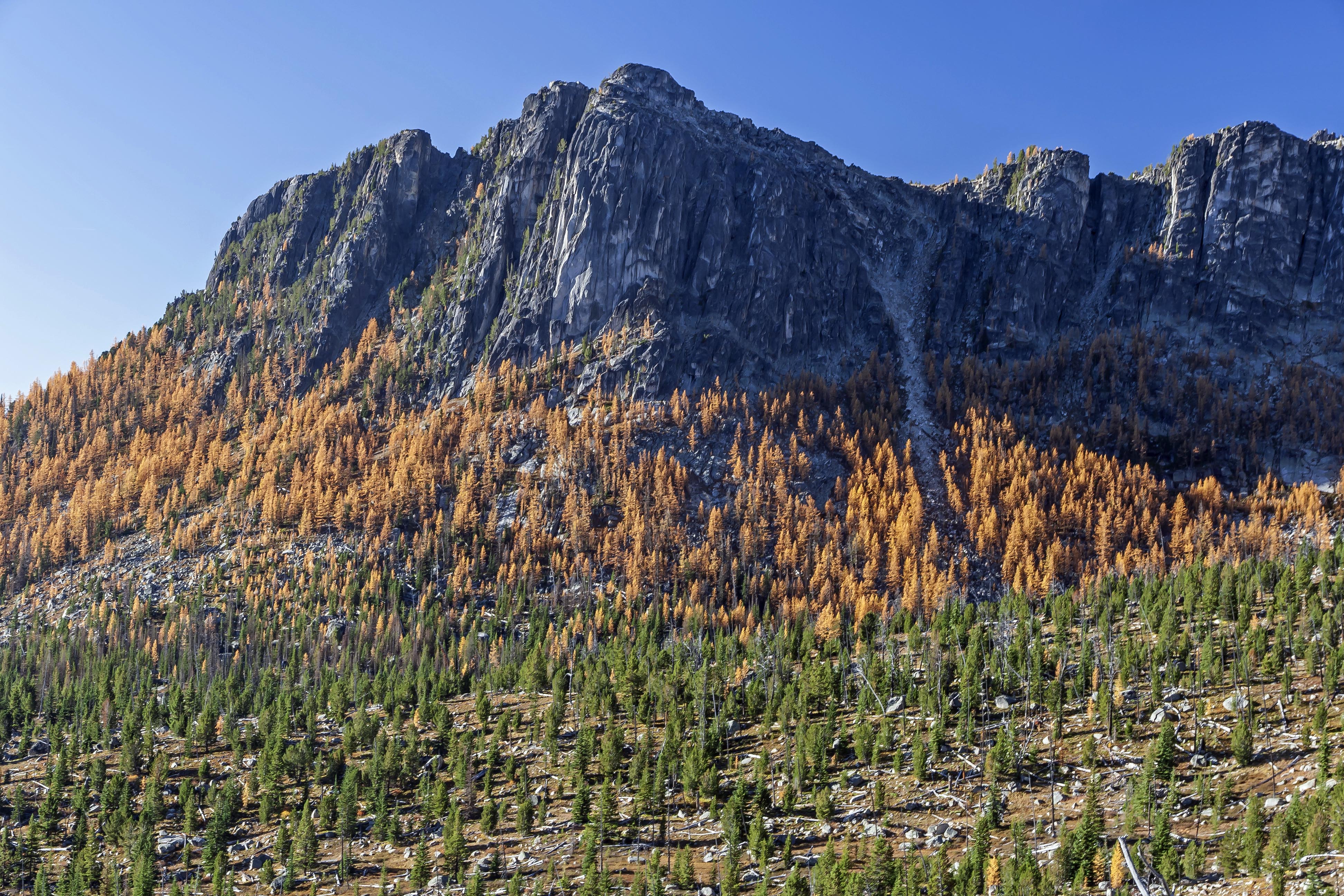
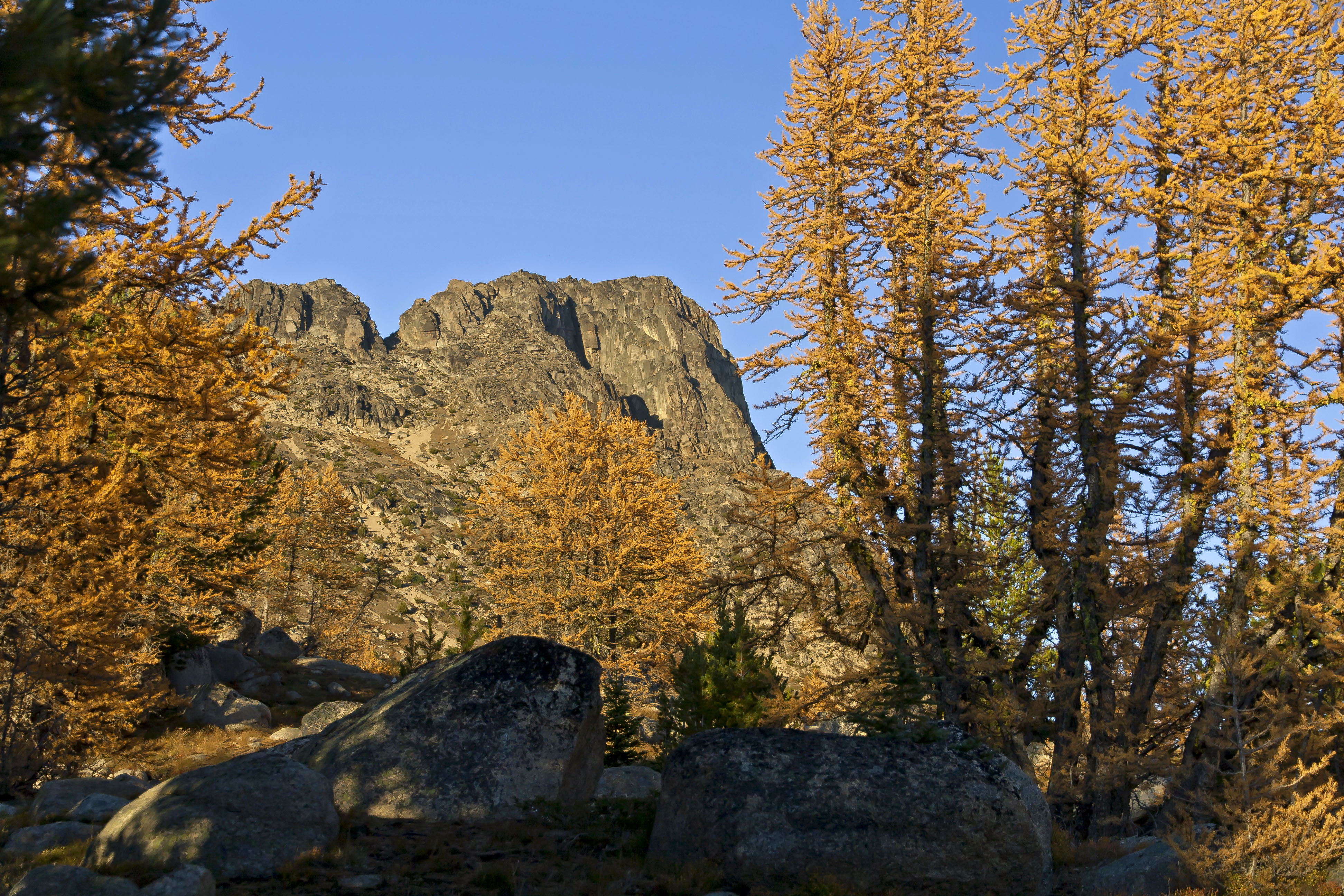
The trail is a lot of fun, the old Tungsten Mine is an interesting place to explore, and Apex Pass provides sweeping views of Remmel Mountain and the east side the of Amphitheater Mountain.
 Remmel Mountain
The larch inhabit a band between 6,000 and 7,000 feet of elevation.
 Amphitheater Mountain
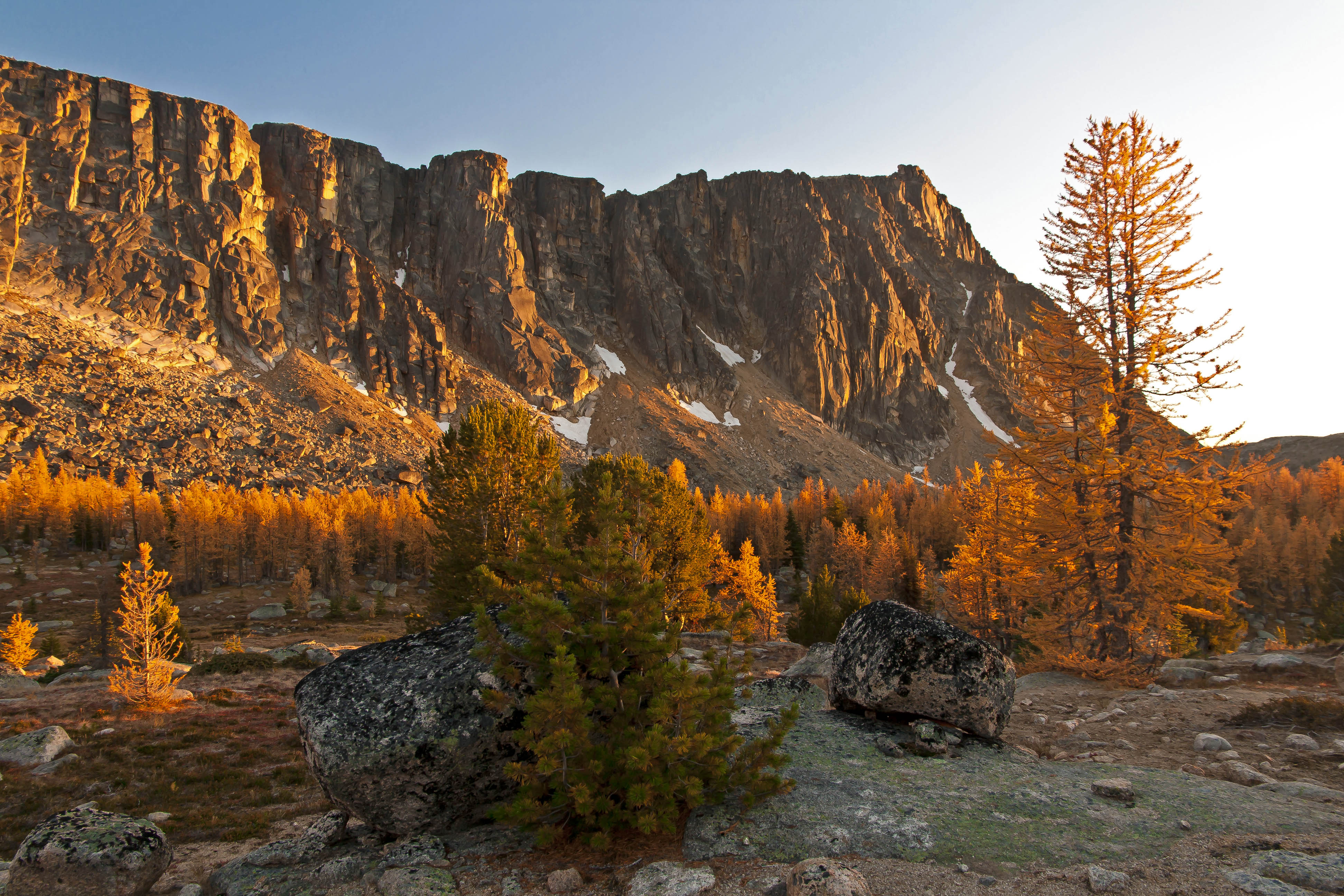
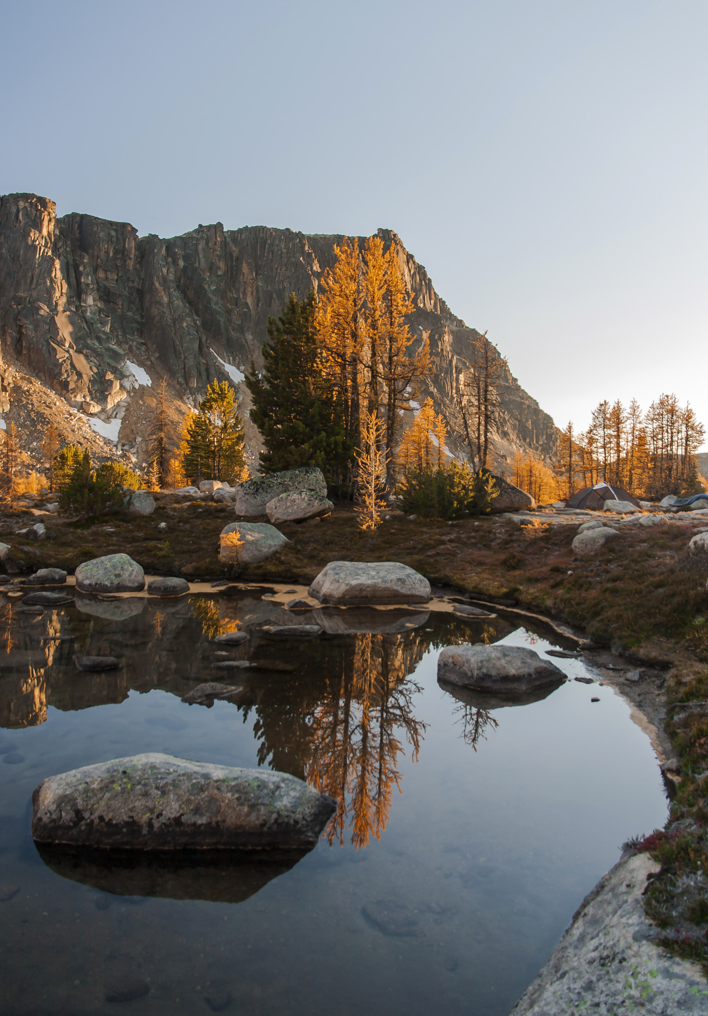
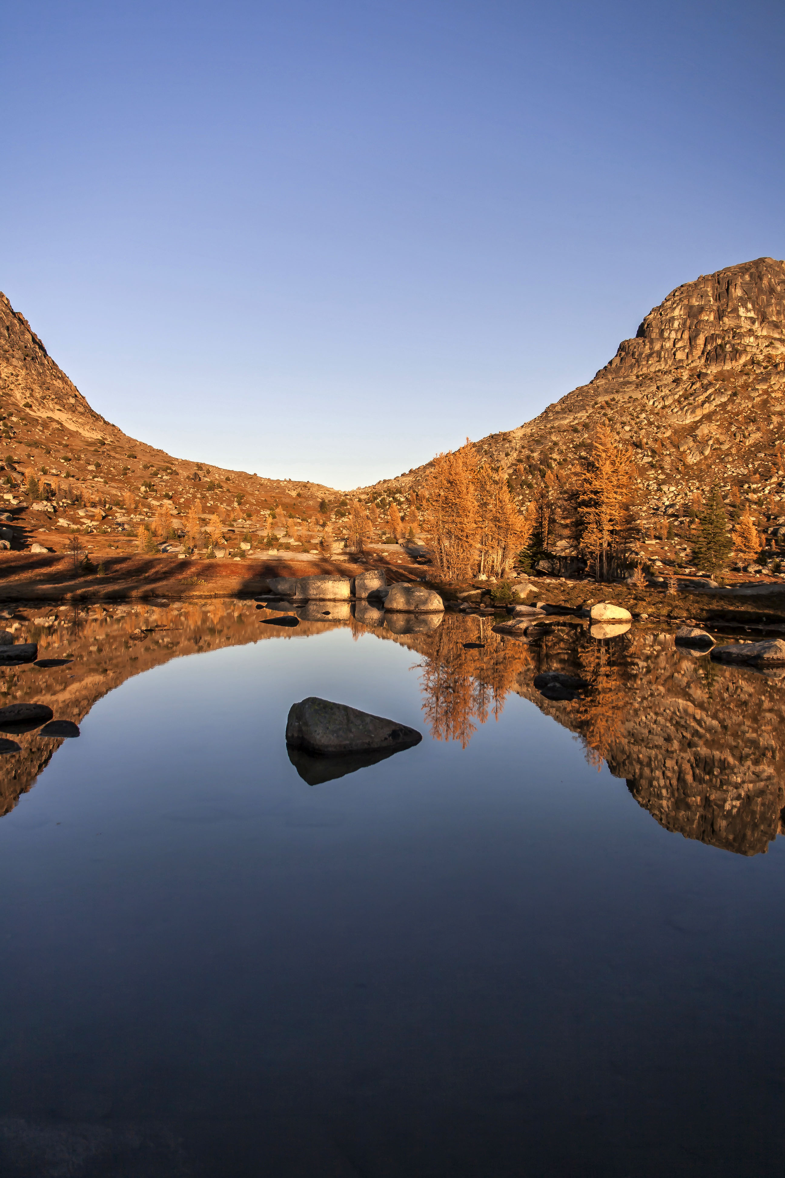
Arriving at Cathedral Pass its a short stroll down to water and reflective views!
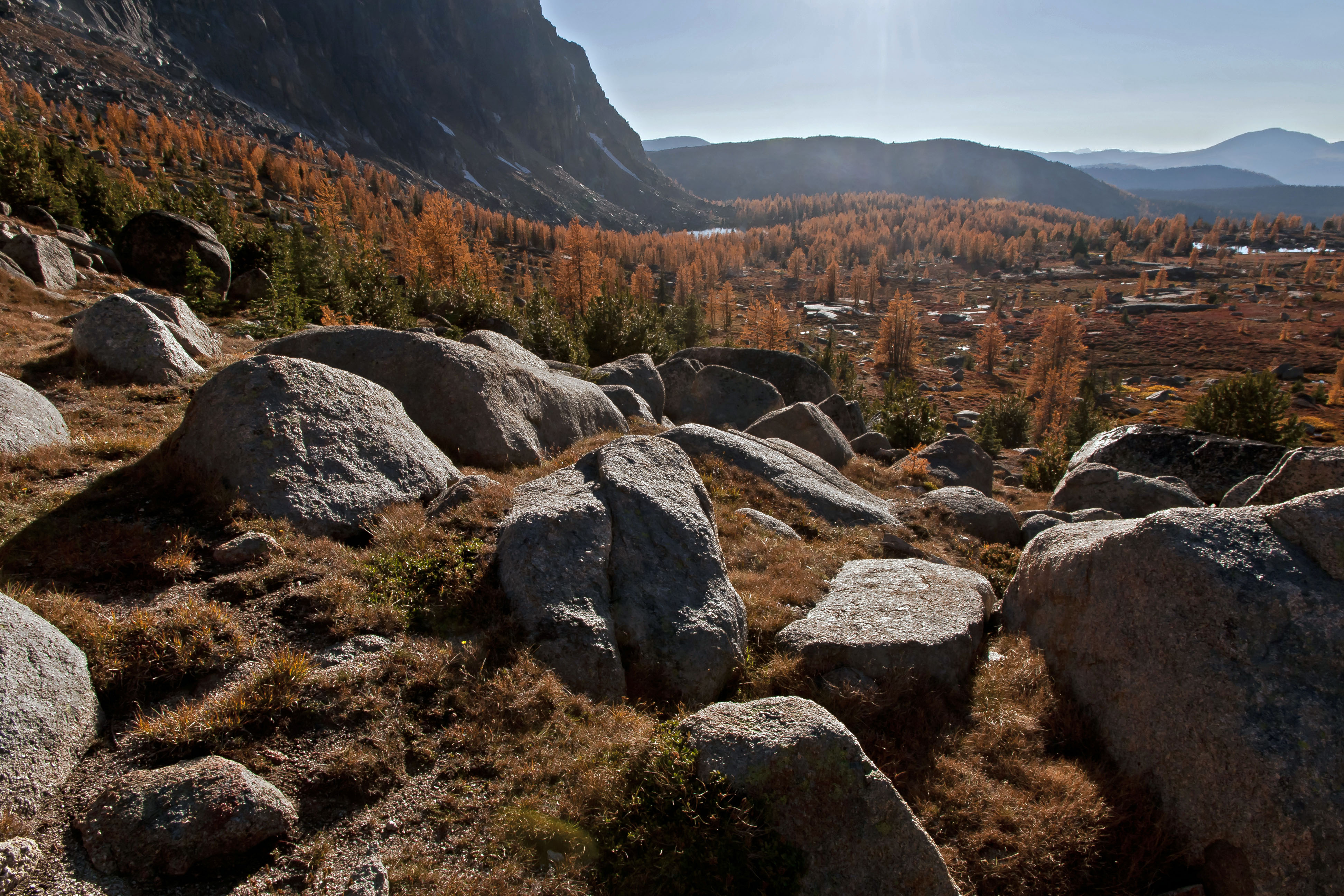 Cathedral Pass
Not a bad place to camp!
 Cathedral Peak
 Amphitheater Mountain, Reflected in a snow-melt pond
Heading down a little ways to Upper Cathedral Lake just before sunset provides all you need for a true orgy of picture taking!


Back up at the camp site the setting sun made the trees look even more afire!
The sensory overload was fun! 
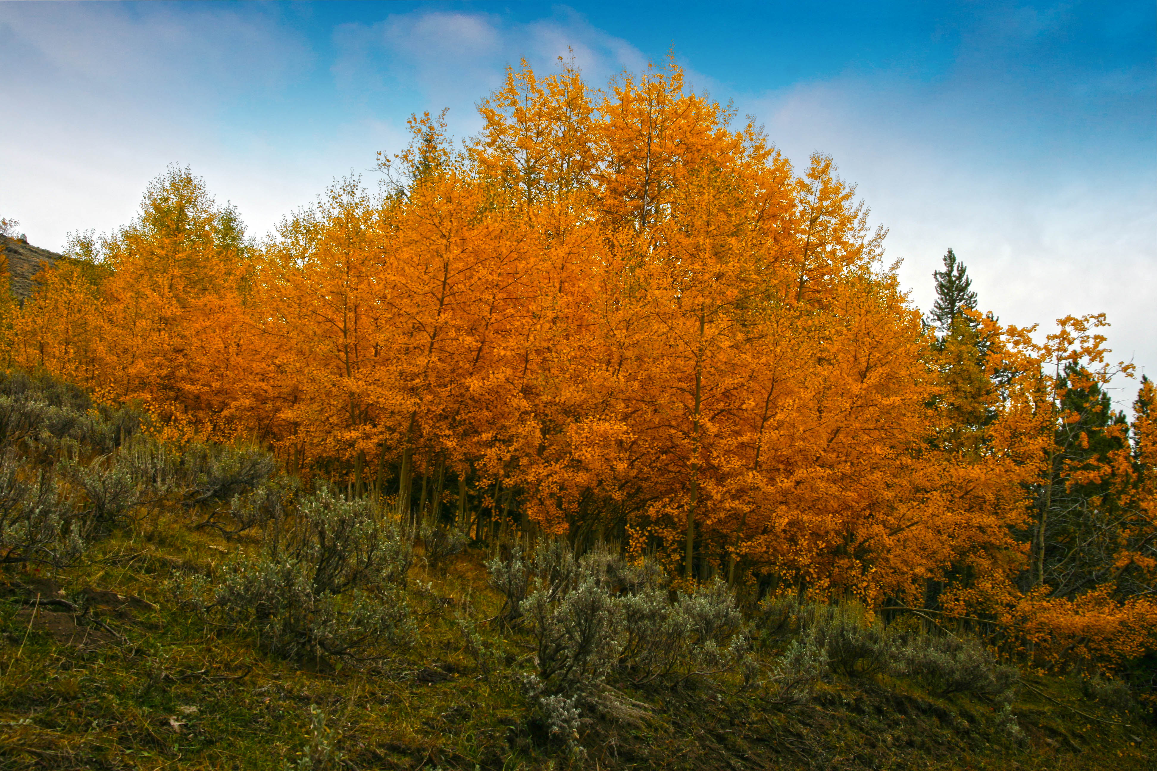
The hike back provided more changes in colors…
The trees along the road had a decidedly different look after only 4 days…


Beautiful. The photograph with the black rick in the center of the water is like an optical illusion. It looks as if the rock is levitating above the water or a shadow of something above the water. It’s fun to play with that image. The beauty of the land is brought out in all its glory by your lovely pictures.
What were your dates for doing this. A friend and I started the east Pasayten loop this sept., but got called back due to a death in his family a day Into the hike. We are planning on going at it this coming year, but want to get the optimum time to catch the larch trees turning. Your pictures are very inspiring and cause one to dream of the coming hiking season with much anticipation
Which loop were you planning to do? These images were taken October 2nd through 5th, got lucky on the weather!
http://www.brettonstuff.com/index.php/backpacking/trip-reports/east-pasayten-loop-trip-report-day-1/
When researching the pasayten wilderness for a hike I found this blog that refers to the hike in the book. We were planning on doing it counter clockwise like the blogger did.
We made it to the fire creek camp from the thirty-mile trail head. Camped that night and started hiking the following morning, but upon turning on his Delorme inreach a 1/4 mile into the day. The message came through that we needed to come home.
You have a wonderful “eye!” I just found and added you to my blogroll – simply gorgeous work!
Thanks Debi!!
first pic, amazing colours!
I don’t even know what type of tree they are, but I caught the light on the leaves at the right time.
i think thats the best way to hit a perfect picture. dont thinking to much about it, just do it 🙂