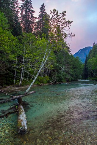
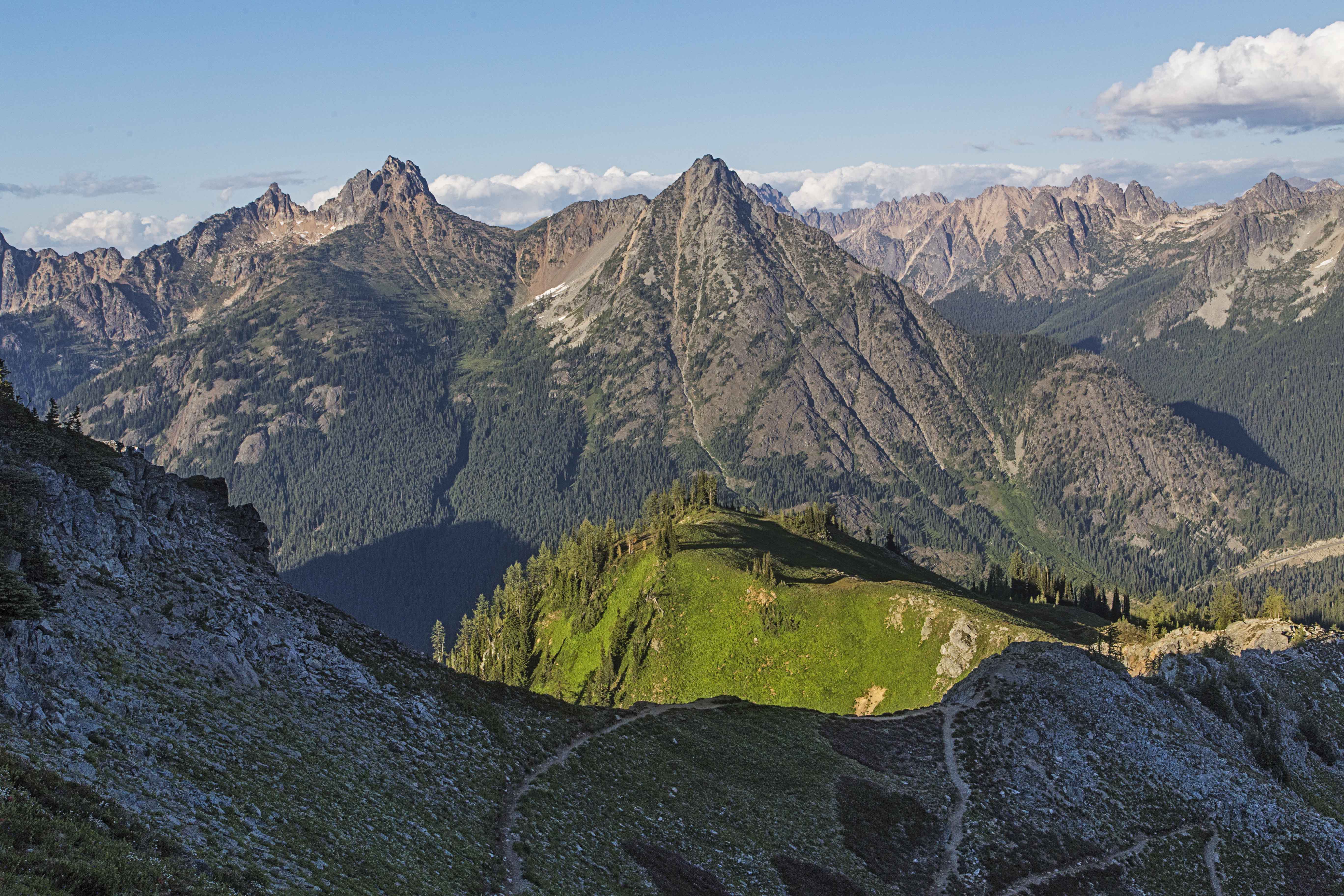
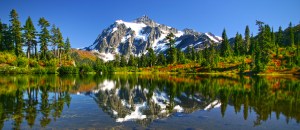
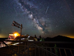
The Goat Rocks Wilderness, located in the Central Cascades of Washington State, is filled with wonder. Goat Lake, Snow Grass Flats and Cispus Basin are but a few on the many splendors. The Pacific Crest Trail bisects the wilderness so it is usually a busy place in the summer. Here are two pics from a trip in 2016.
-
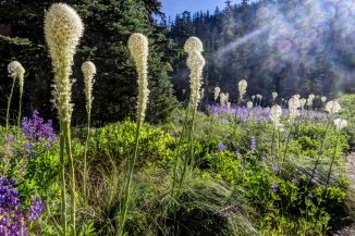
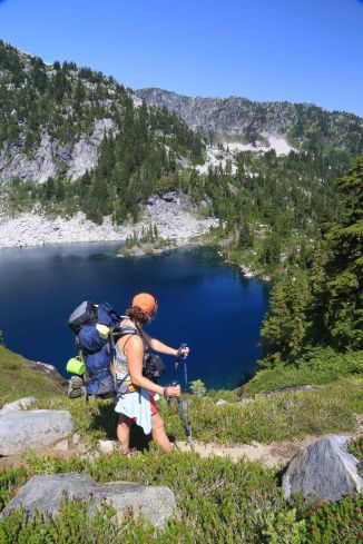
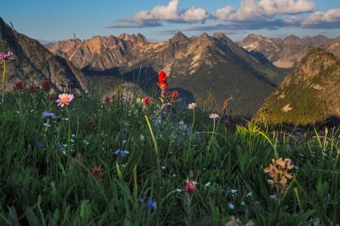
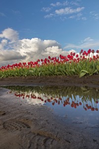
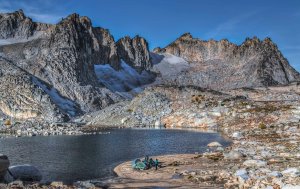
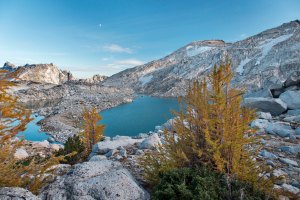
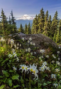
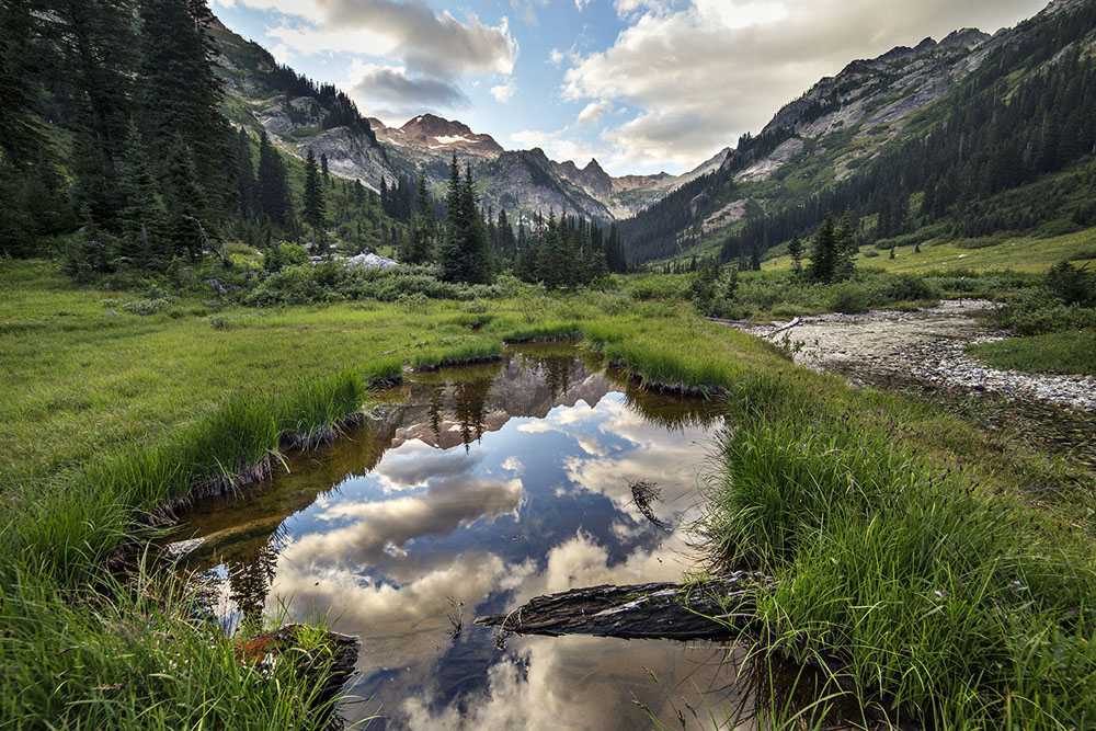
- Snow Grass Flats, 2016
-

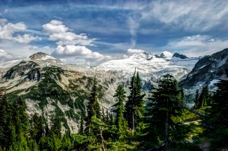
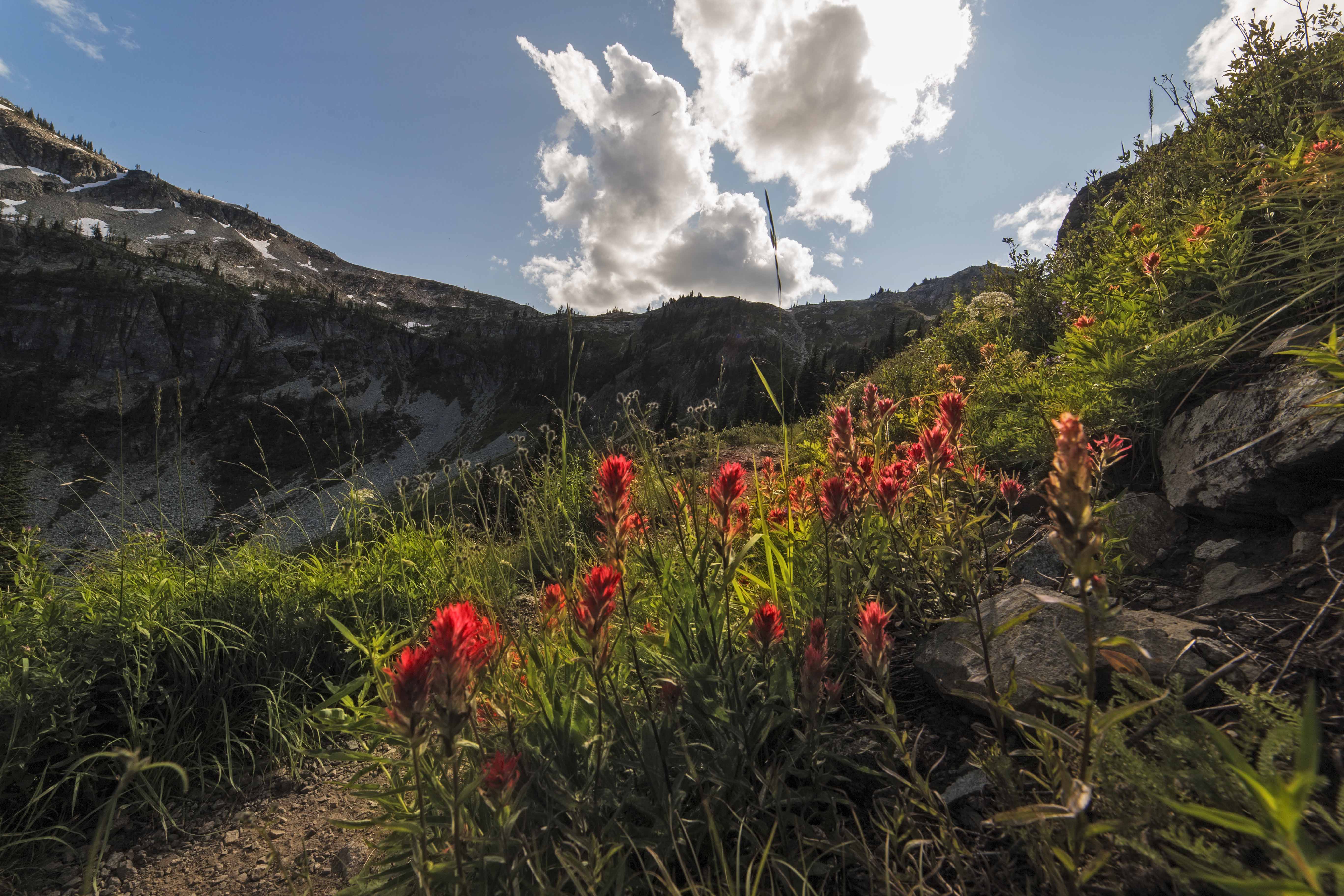
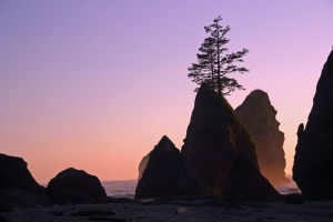
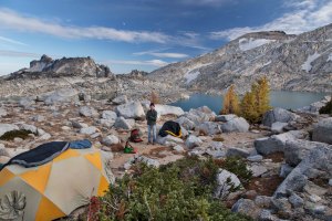
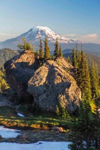
- PCT, Goat Rocks, 2016
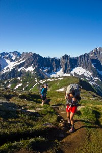
Depending upon your access point, its not hard to intersect the Pacific Crest Trail, which is what we did, from the Snow Grass Flats Trail. Its about 5 miles to get to the junction, and our goal was to camp as high as we could, making it easier to spend sunset at the main attraction, the Knife’s Edge.
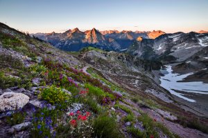
Due to the unusually hot July we had, the south facing slopes we ascended were dry. Looking up, the peaks surrounding were almost naked, only a very few small snow patches remained.
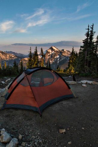
We made our way up, looking for the elusive camping spot, made more difficult due to lack of water.
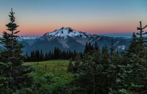
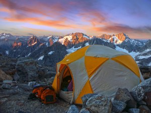
Our final resting spot for the night was a magnificent camp, just below the last remaining snow fields below Old Snowy.
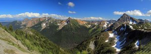
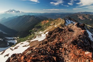
We hid in the shade until the proper hour and ascended to the “summit” of the PCT. High above the timber line the PCT climbs to a junction. Heading right you’ll climb steeply up Old Snowy to a saddle where the trail makes a turn, here are the views towards the north and south.
-

- Facing North
-

- Facing South – Mt Adams in the distance, and smoke!
This is the highest point along the PCT in the Goat Rocks. If you want to scramble up the rest of the way to the top of Old Snowy, it takes about 15 minutes, one way.
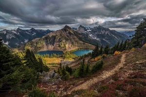
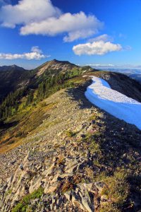
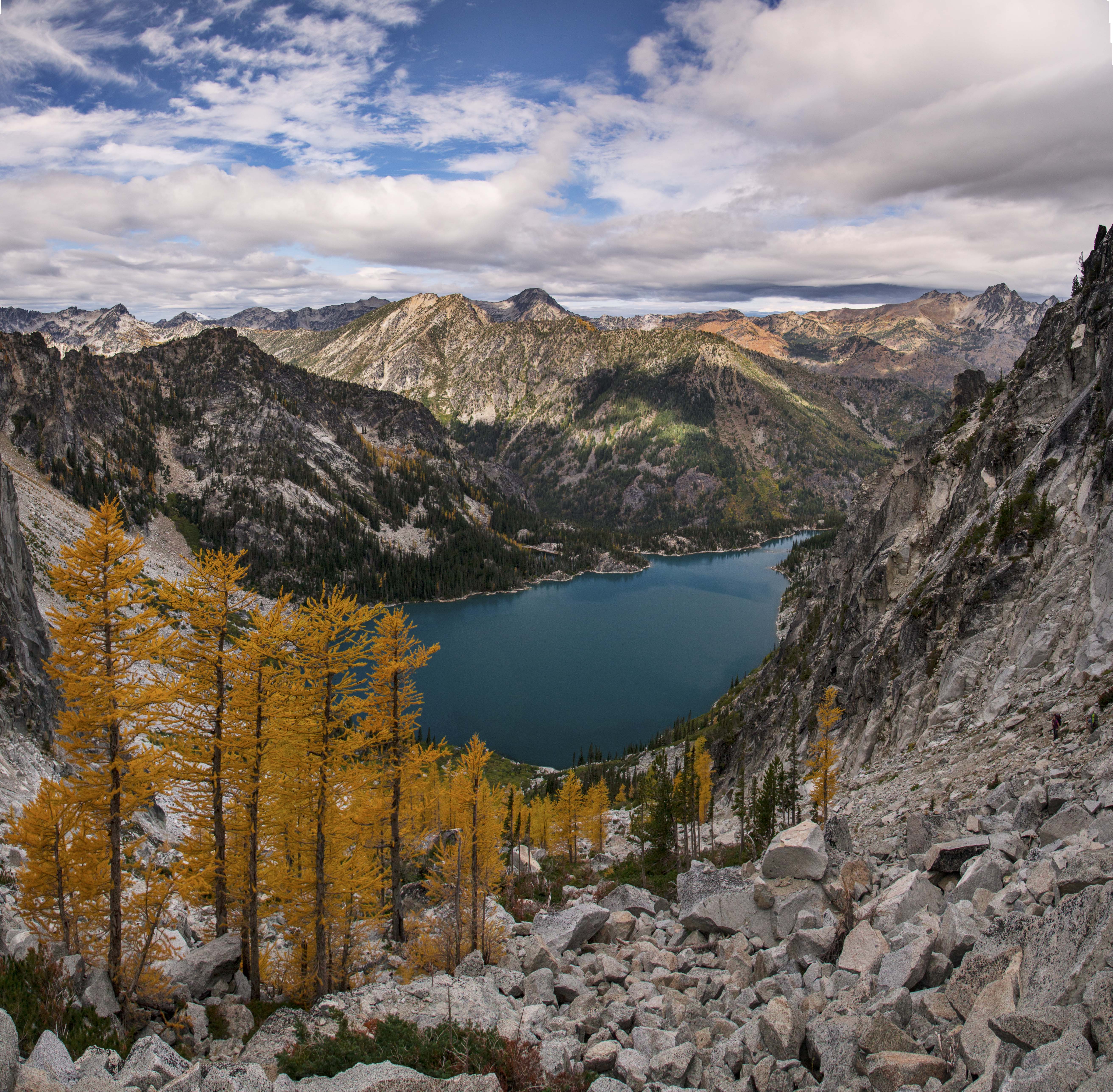
Continuing upon the PCT, (headed north) the trail now descends along what is known as the Knife’s Edge. The long ridge zigs and zags down, and the trail is blasted into the very top of the serrated, sinewy ridge line as it descends into the abyss…

Its a cool place.
A short way down the trail reconnects to the “bypass”. Back at the trail junction: If you’d gone left the trail skirts along steep slopes to meet the PCT as it descends along the first section of the Knife’s Edge.
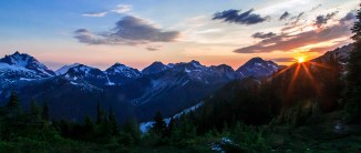
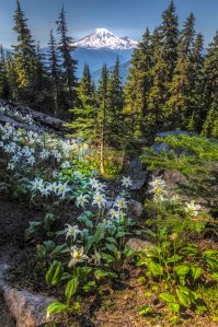
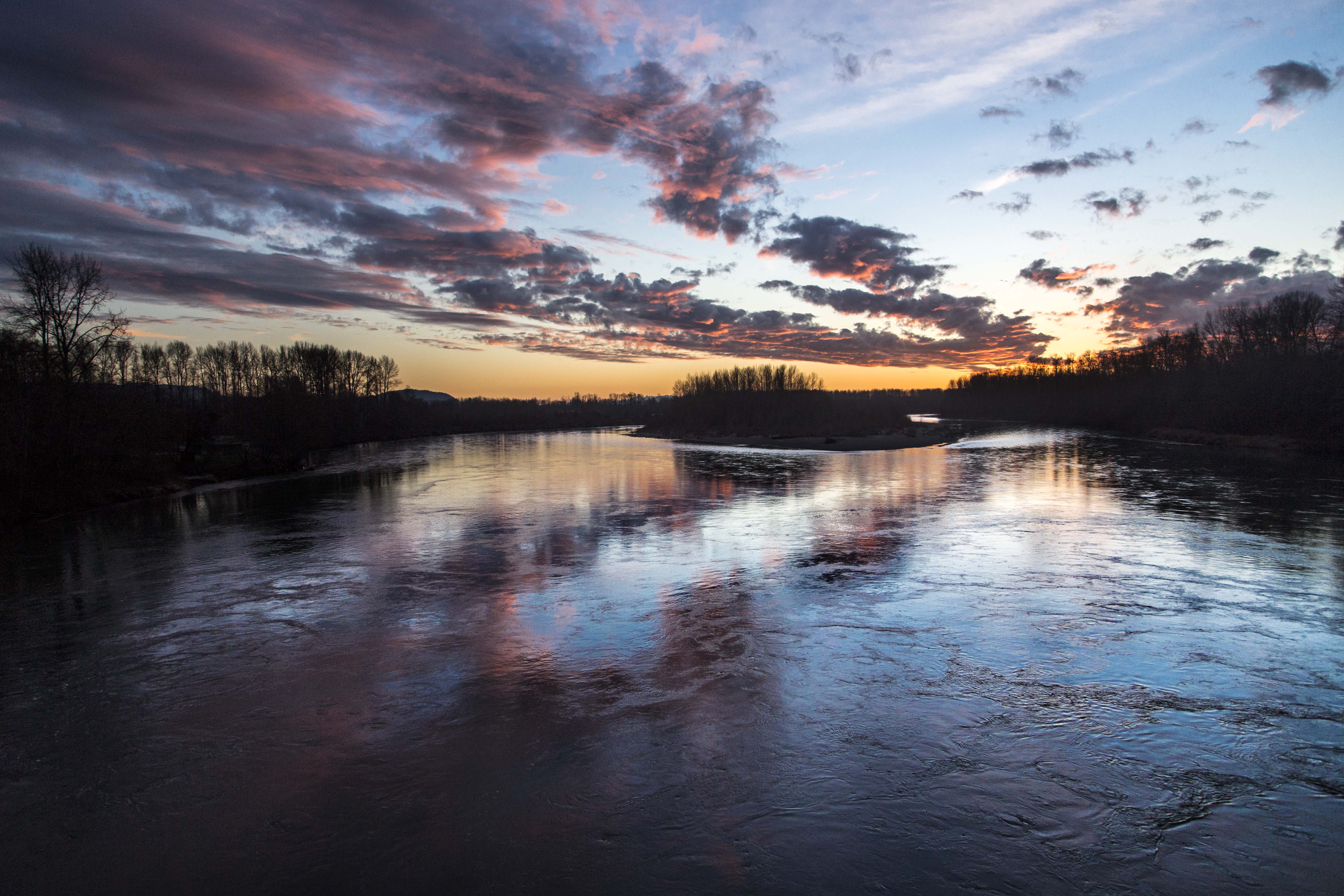
And a very smoky abyss as you can see from the images. There are a forest fire nearby, and the horizons were smoggy. During the day, I could not see even a hint of Mount Rainier, or Mt Adams. Only at sunset could you make them out at all.
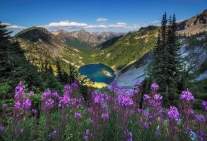
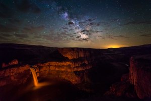
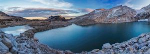
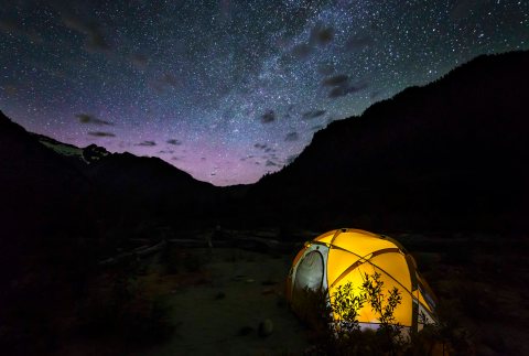
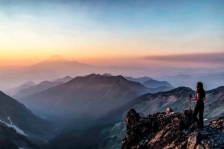
My plan was to climb up, camp a few days getting images of sunrise and sunset and night sky from that vantage point, but alas, the smoke was there to stay!
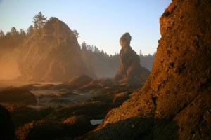
Here is my best shot from the trip:
Interested in Photo Tours? Photo Classes? Buying Prints? Visit Andy Porter Images and joy you will find.