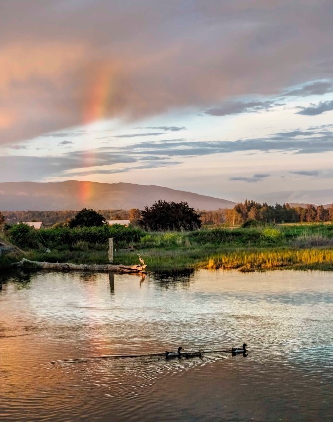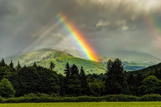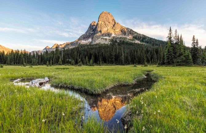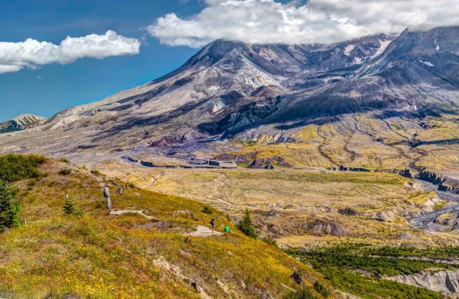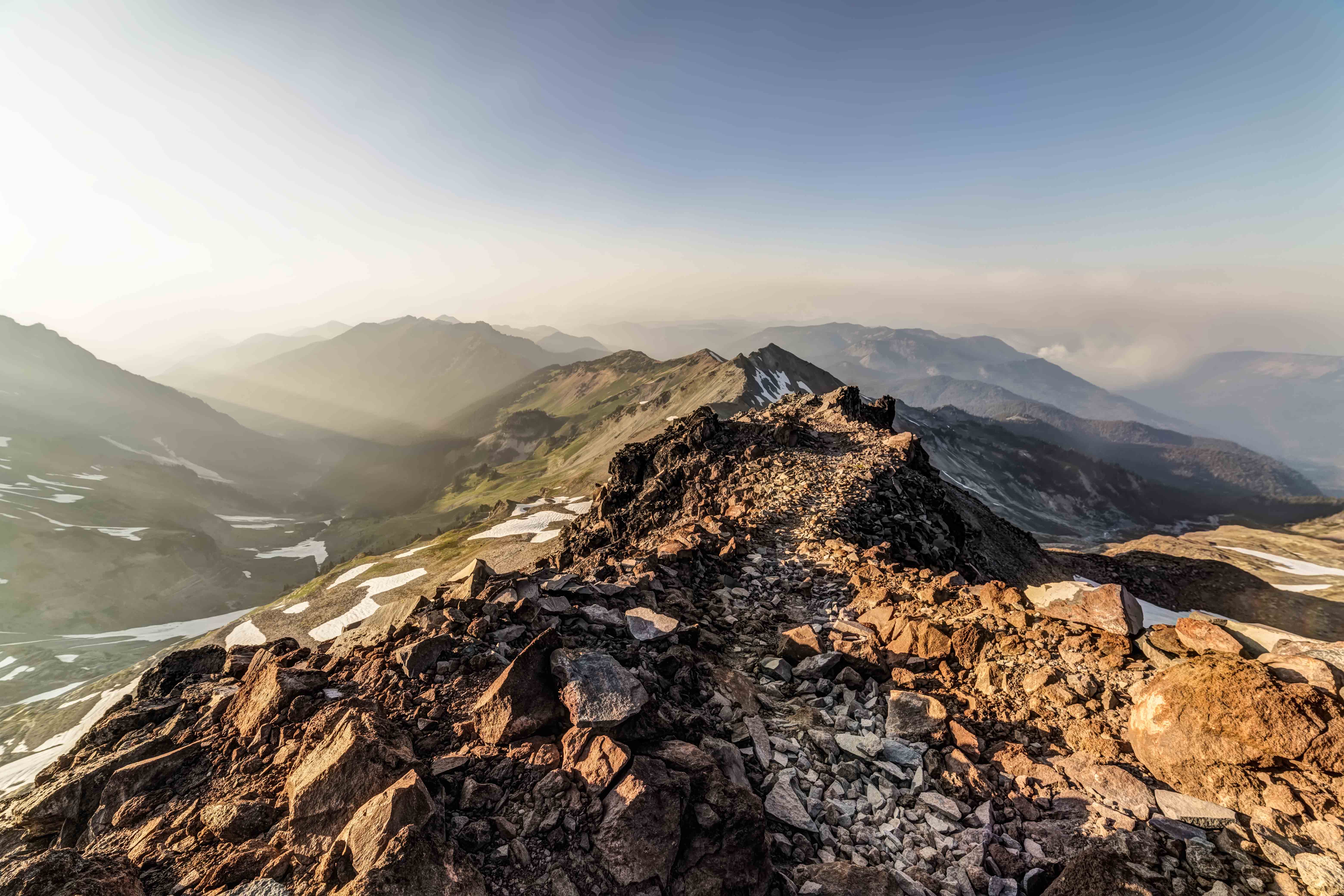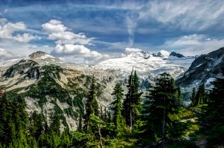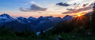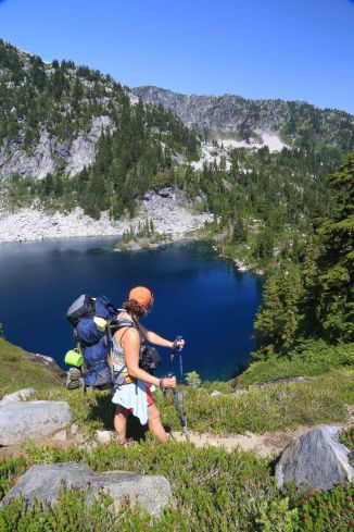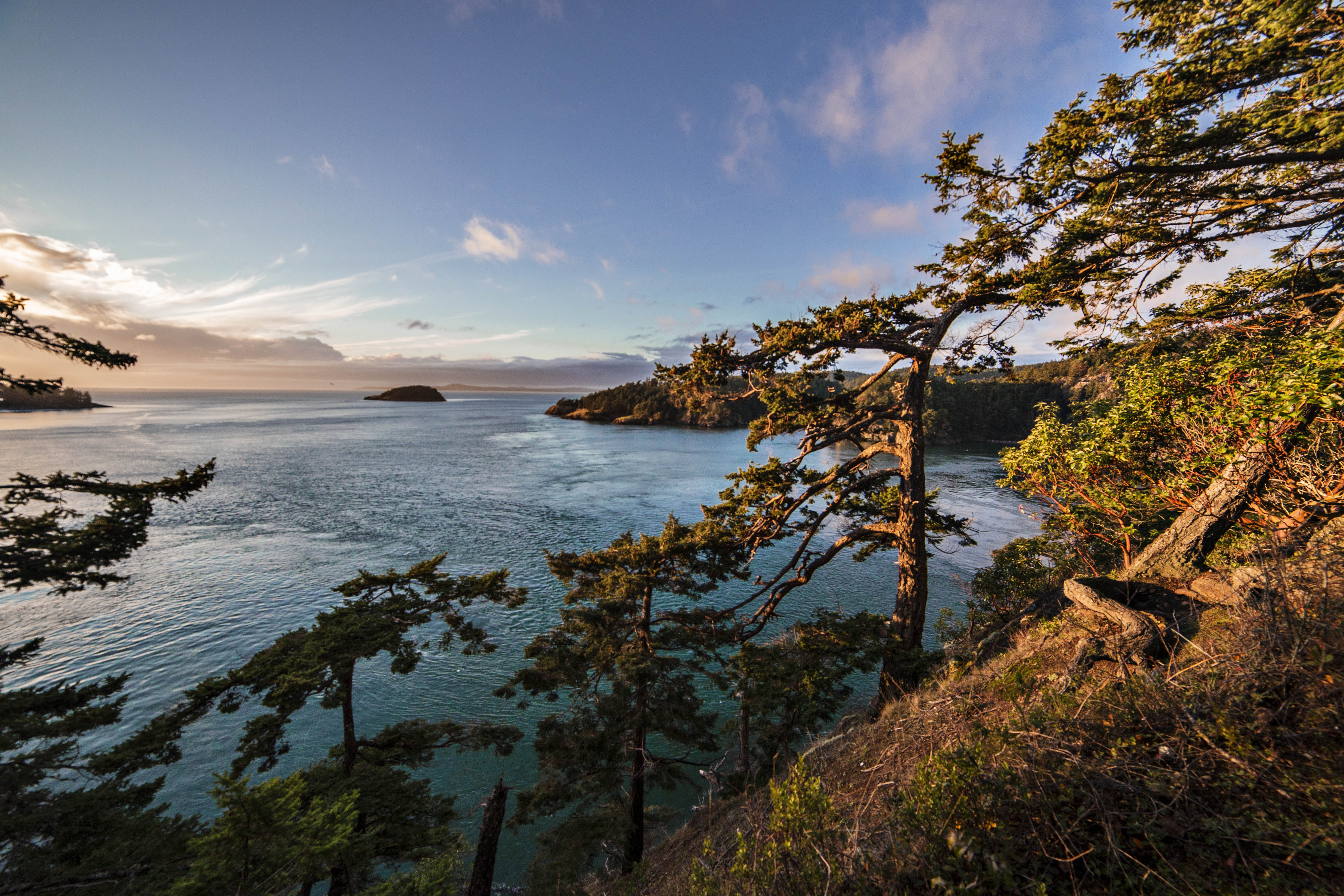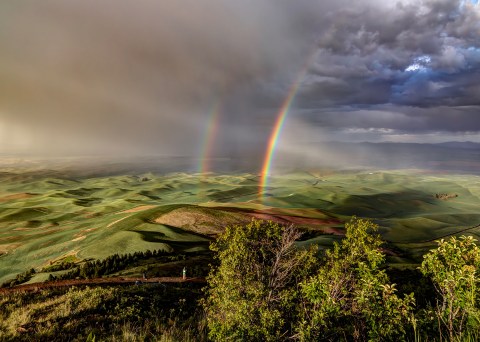
Andy Porter Photography Classes – Burlington Parks and Rec Fall / Winter 2025
Starting in September, 2025 I will continue teaching Photography Classes in Burlington, through Parks and Rec. The Photo Classes will be held at the Maiben House.
Registration is through Burlington Parks and Rec. Seating is limited for each class. At the link below you can see the entire class schedule and register for classes.
Here is the link to the Burlington Parks and Recreation Catalog of classes.
How to Capture Awesome Images with your DSLR – Beginners Level 1
Capturing decent images with your new DSLR camera is easy, just set it on “Auto Mode” and shoot away. Moving your photography up to the next level where you get consistently good shots starts with understanding how to set your exposure manually. This is NOT difficult to do.
What the class teaches:
- How to Shoot in Manual Mode
- Aperture, Shutter Speed, ISO. These 3 settings will be explained in detail with lots of examples and images.
- Depth of Field: You’ll learn how a photographer changes this in an image.
- Bracketing Exposure is capturing multiple images of the same subject with different exposures.
- A Circular Polarizer is an optical filter that screws onto the end of the lens.
- Raw vs. Jpeg – We’ll discuss this as well as an overview of editing a RAW image file.
Prerequisites: You must be familiar with your camera, taking pictures in Auto Mode, image review, etc.
Equipment Required: A DSLR or Mirrorless Camera with interchangeable lenses.
Dates:
- Wednesday, September 17, 6pm to 8pm
- Wednesday, October 8, 6pm to 8pm
- Wednesday, November 5, 6pm to 8pm
- Wednesday, December 3, 6pm to 8pm

How to Capture Awesome Images with your DSLR – Intermediate Level
In this class we will discuss different lenses, focal lengths and what they do; we’ll delve deeper into depth of field and how to master control over how much of what’s in front of you is in focus. Then we’ll cover the use of different shutter speeds to create stunning, unique images.
What the class teaches:
- Lenses and Focusing: Different lens focal lengths and what they are best for
- You’ll learn the technique of Focus & Recompose
- Sharper Images: Blurry images can be avoided by following one simple rule
- Hyper-focal Distance: How to extend your depth of field in landscape images.
- We will take time to practice these skills outdoors
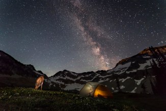
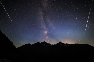
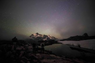
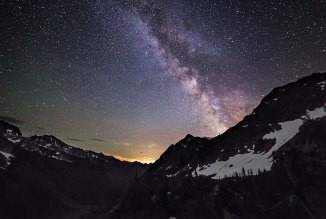
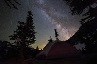
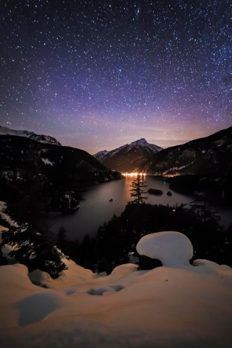
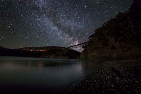
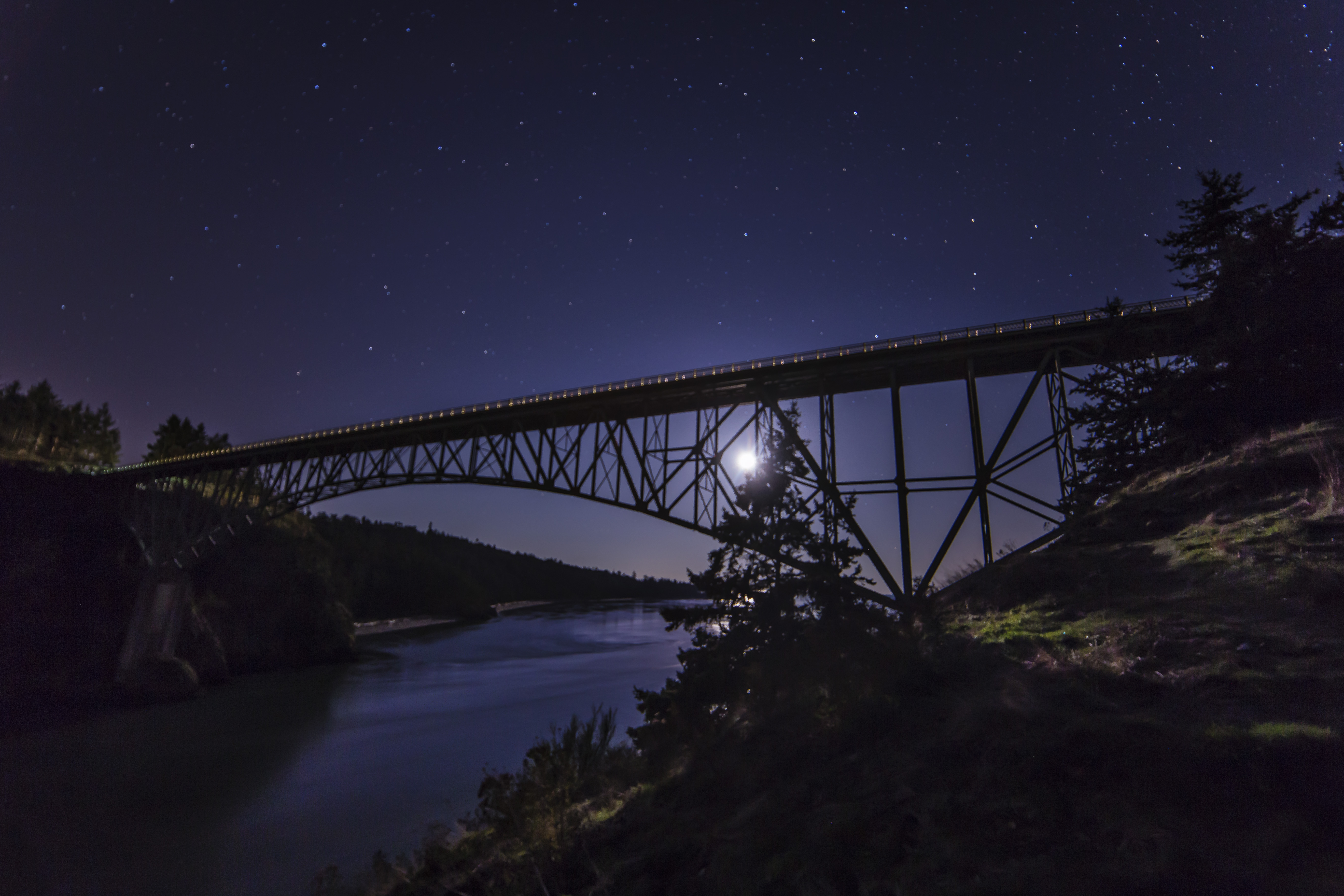
- We will cover in detail how to capture Night Sky images of the stars and Milky Way.
- Discuss all the equipment needed
- Exact camera and lens settings, Walk through setting up out in the field!
- Locations for night sky imaging and more!
Prerequisites: You must be completely comfortable with shooting in Manual Mode.
Dates:
- Wednesday, October 22, 6pm to 8pm
- Monday, November 17, 6pm to 8pm
- Wednesday, December 10, 6pm to 8pm
To register for one of there classes CLICK HERE!
The Andy Porter Gallery is located at 306 Morris Street, in La Conner. Were open 7 days a week with a wide array of Aluminum and Canvas prints, as well as an assortment of Night Lights, magnets and Greeting Cards!