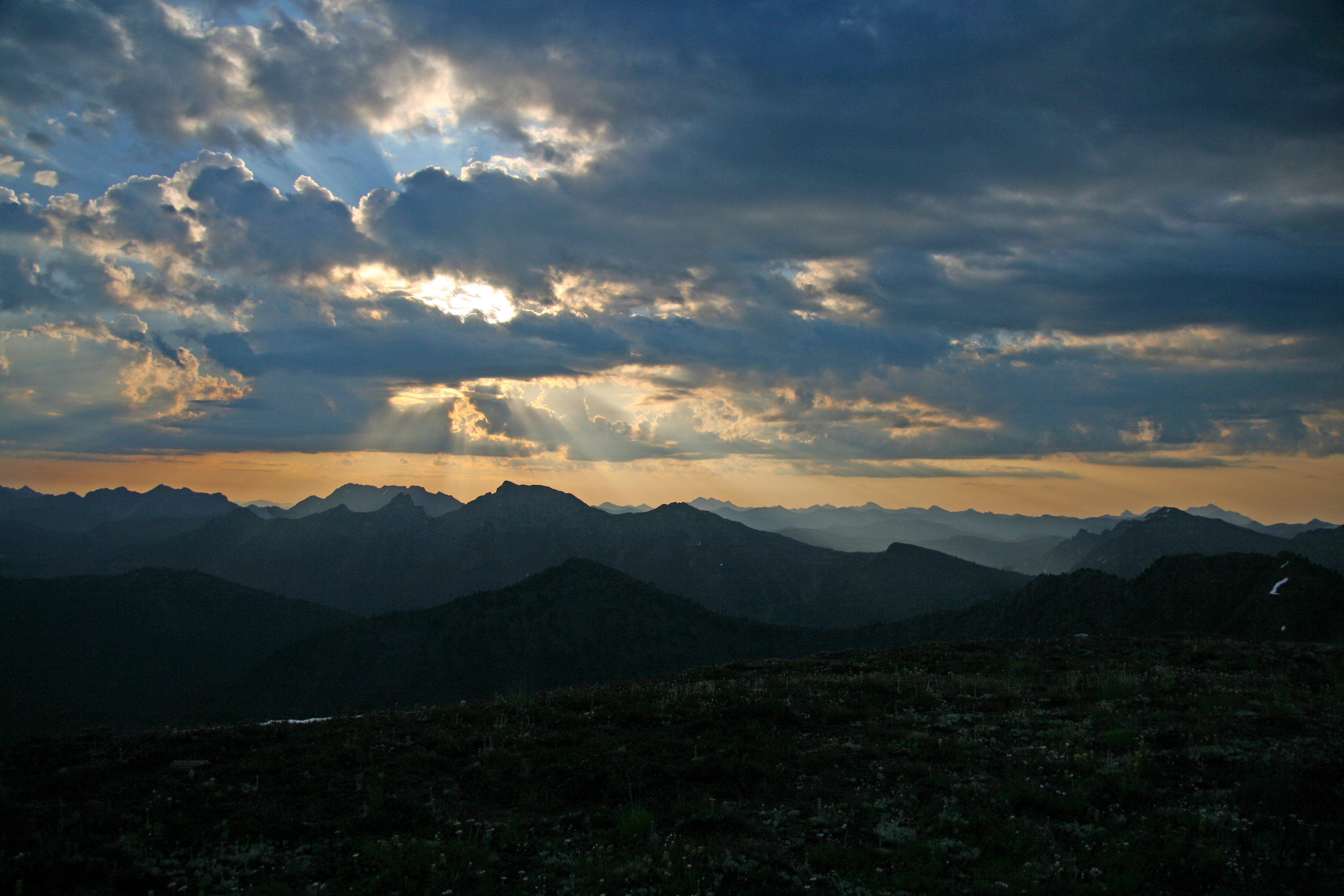
 View from Lakeview Ridge
The highest point of the Pacific Crest Trail (7,126′) in Washington State is Lakeview Ridge in the Pasayten Wilderness. Only 8 miles south of the Canadian Border, Lakeview Ridge is a grand and dramatically fitting end to the 2,650-mile long trail.
Of course you don’t have to hike 2,642 miles to get there! The easiest approach is from the Harts Pass road just below Slate Peak. Here is a junction with the PCT, at more than 7,000 feet elevation and it is about a 20 mile hike to arrive there.
Incidentally, the Pacific Northwest Trail, stretching from Montana to the Pacific also travels this section of trail once known simply as the Cascade Crest.
Take Highway 20 to Mazama (just north of Winthrop) and follow the Harts Pass road 18 miles to Harts Pass. It can be a bit of a white knuckle drive! This is the highest place you can drive a car in the state.
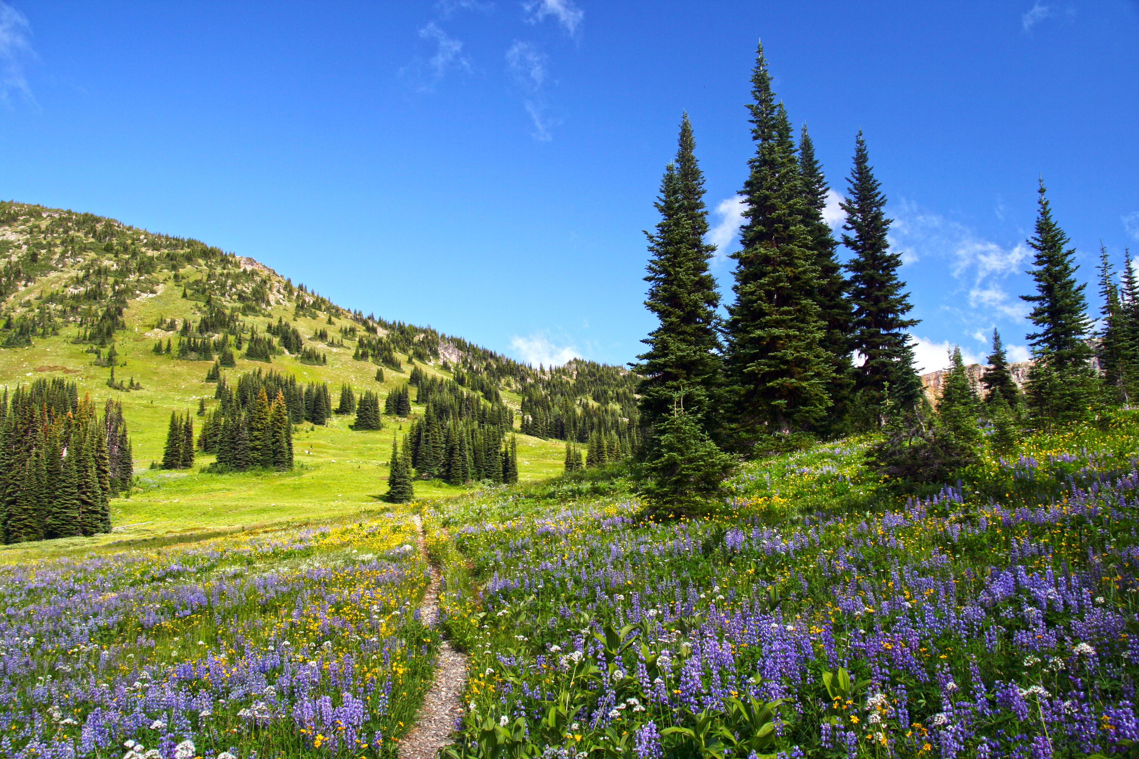
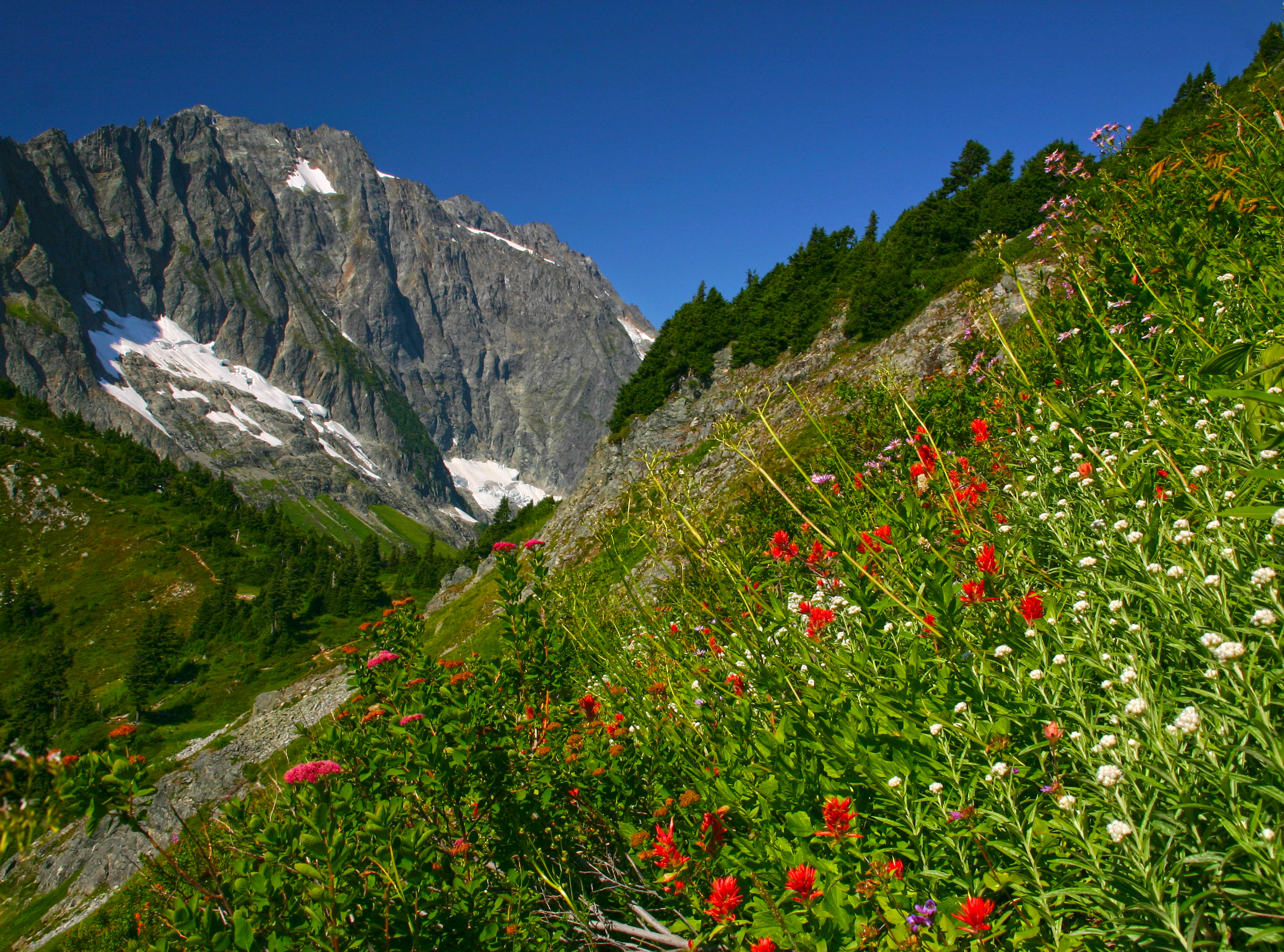
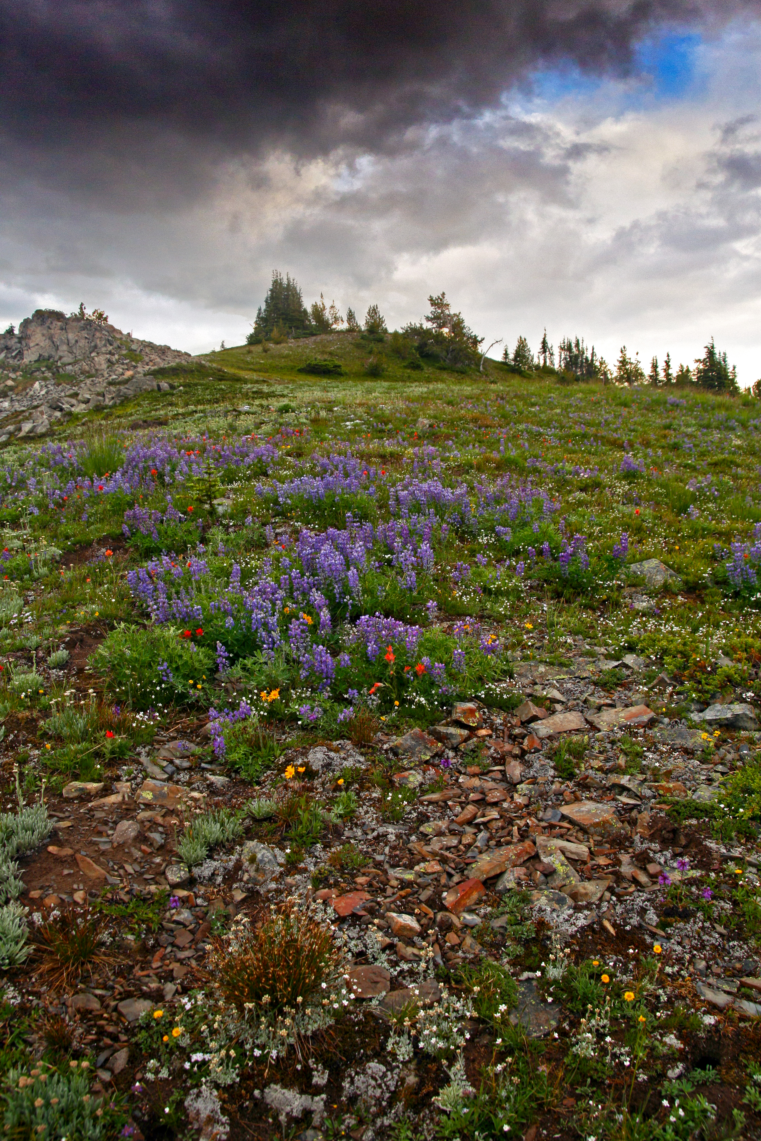
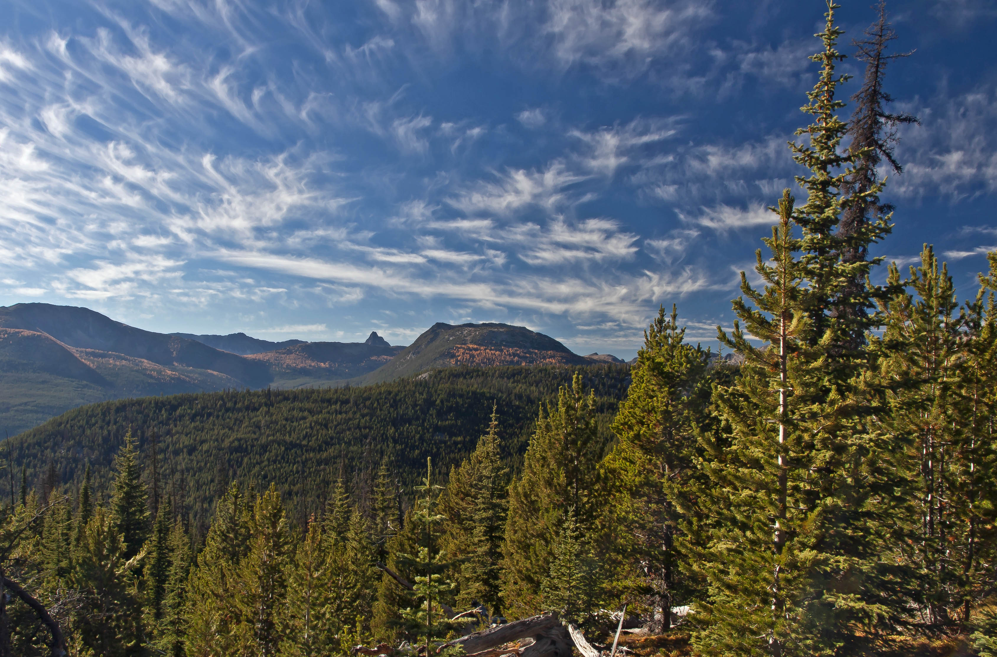
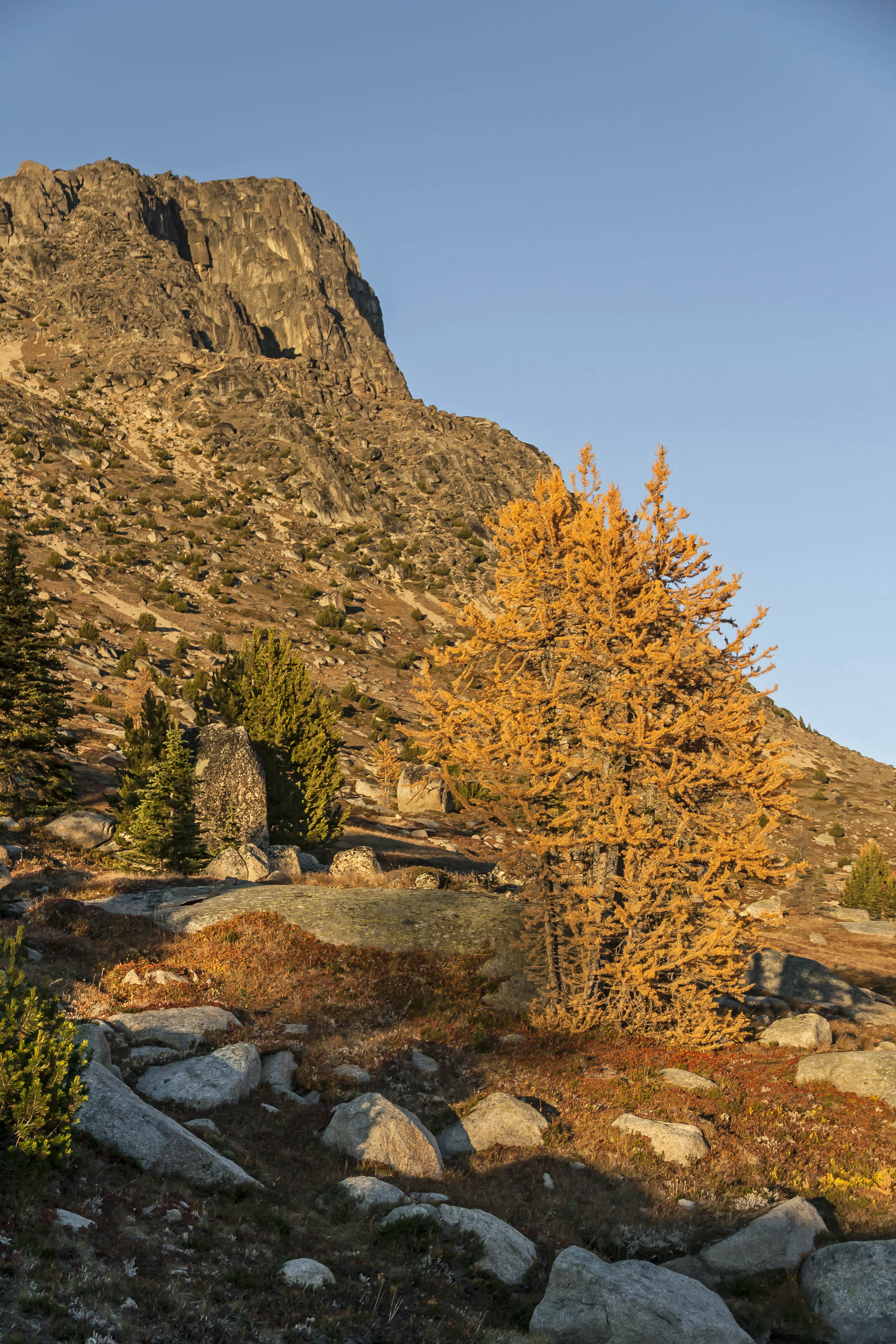
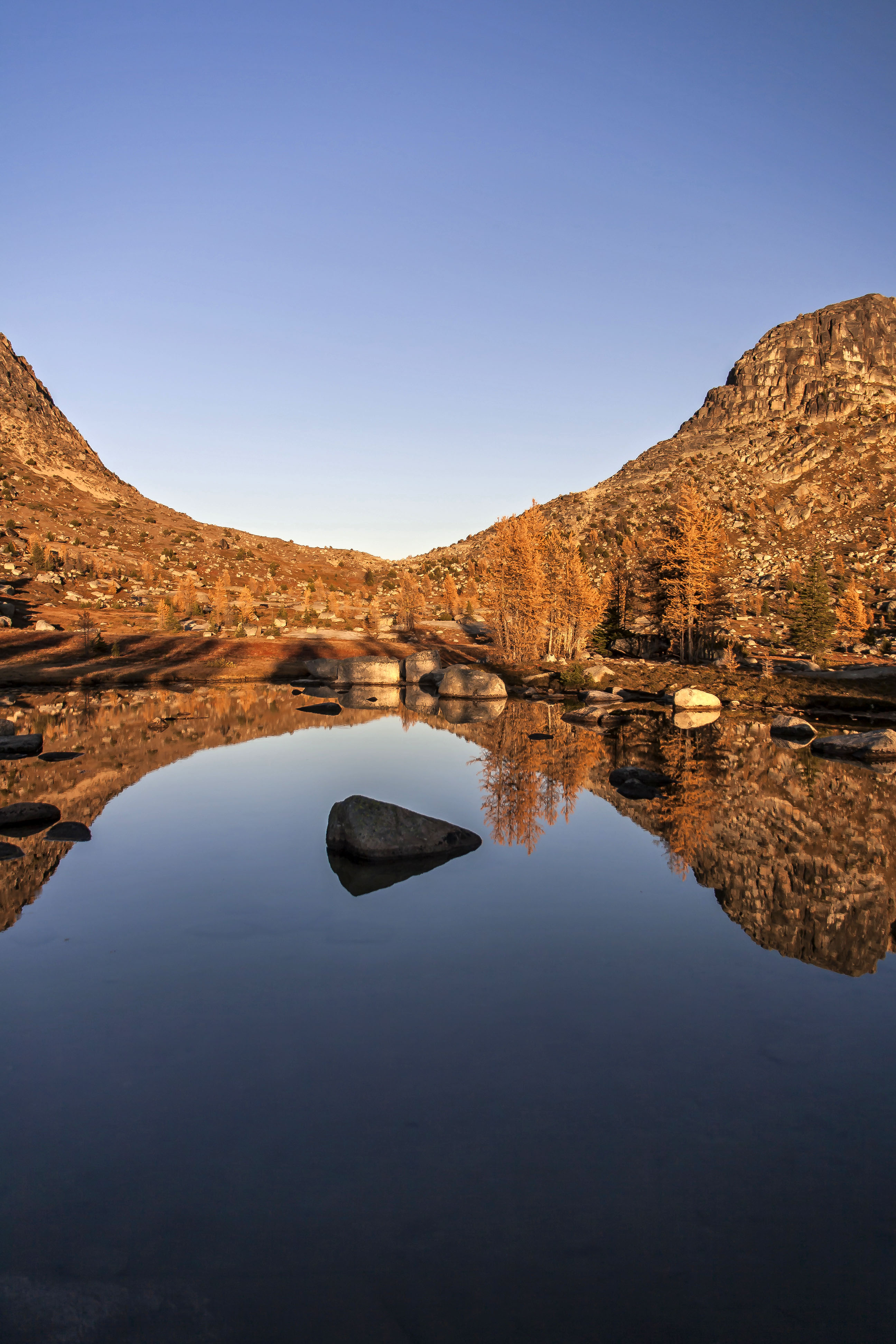
The Pasayten Wilderness is more than half a million acres of splendor. Long ridges, endless meadows carpeted in herbaceous wildflowers, dotted with copses of larch and punctuated with stark crags that fill the horizon…
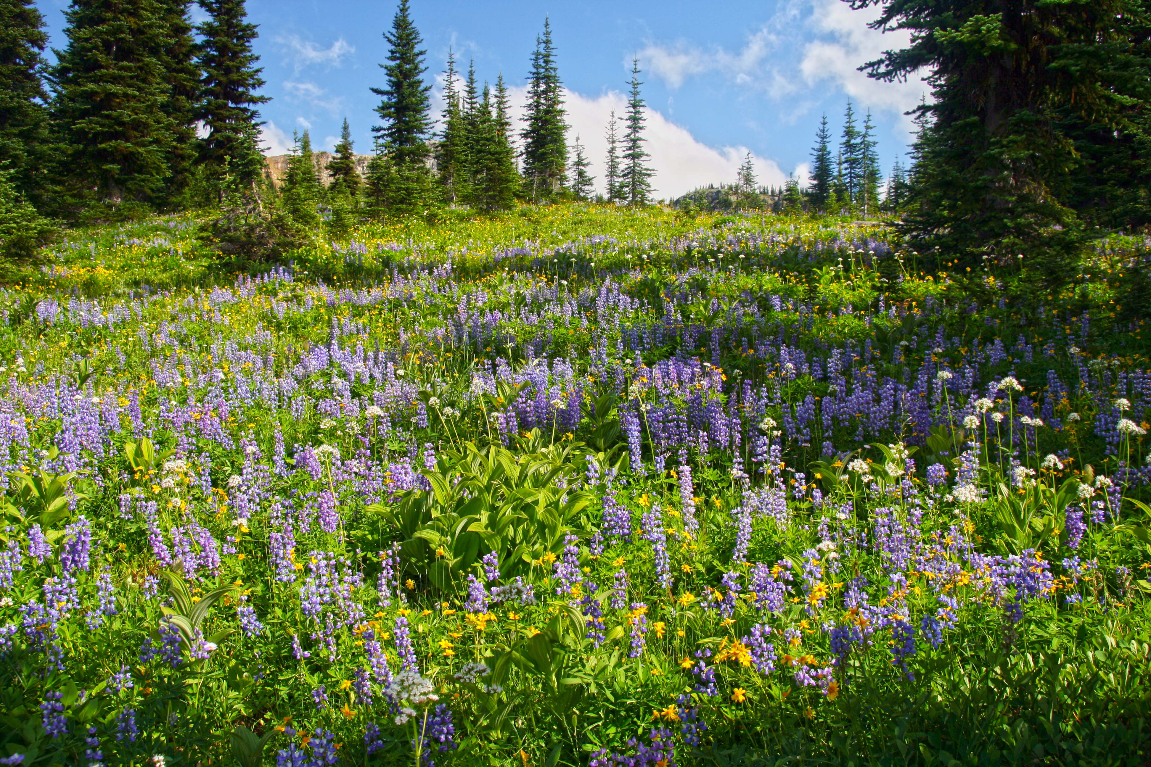
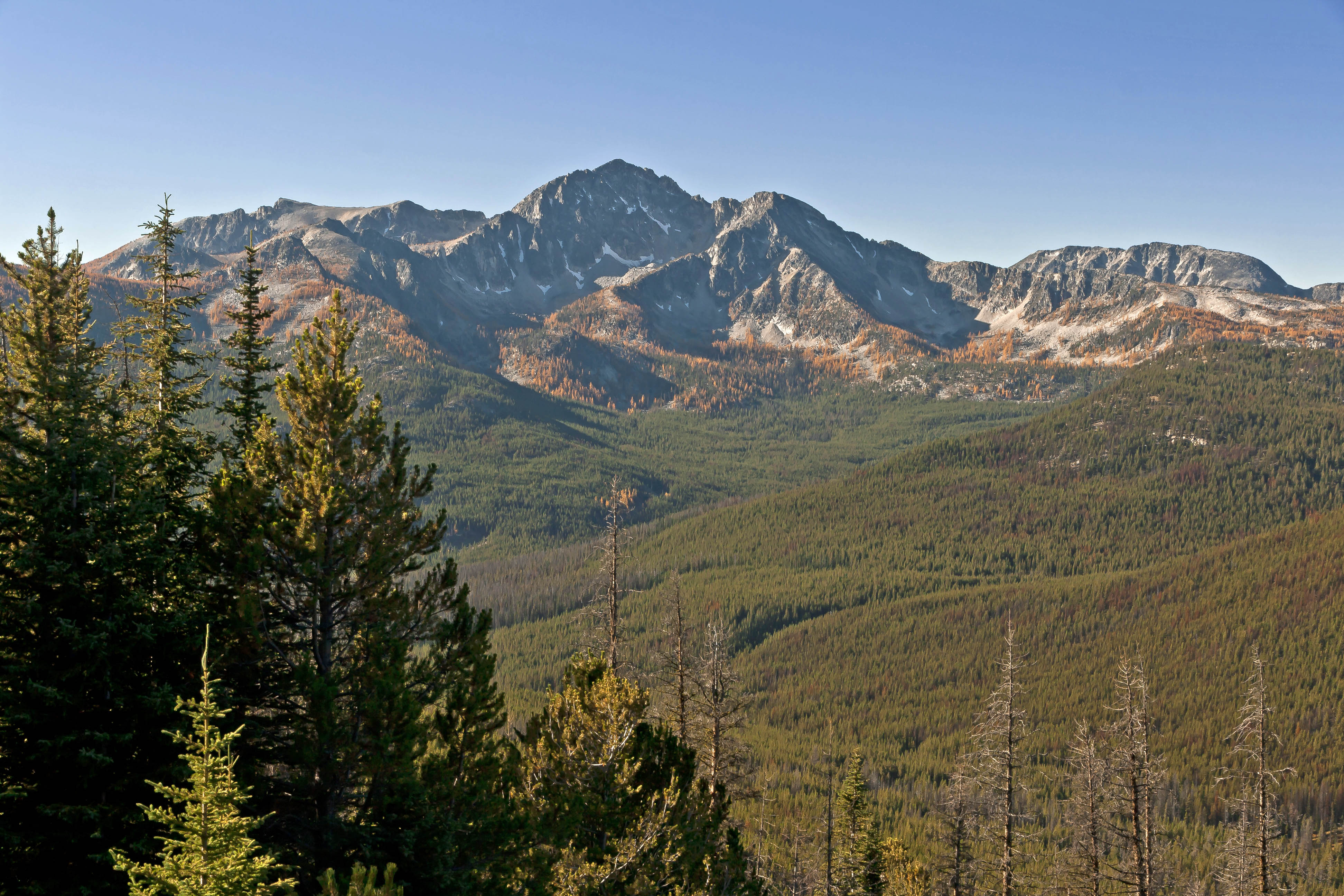
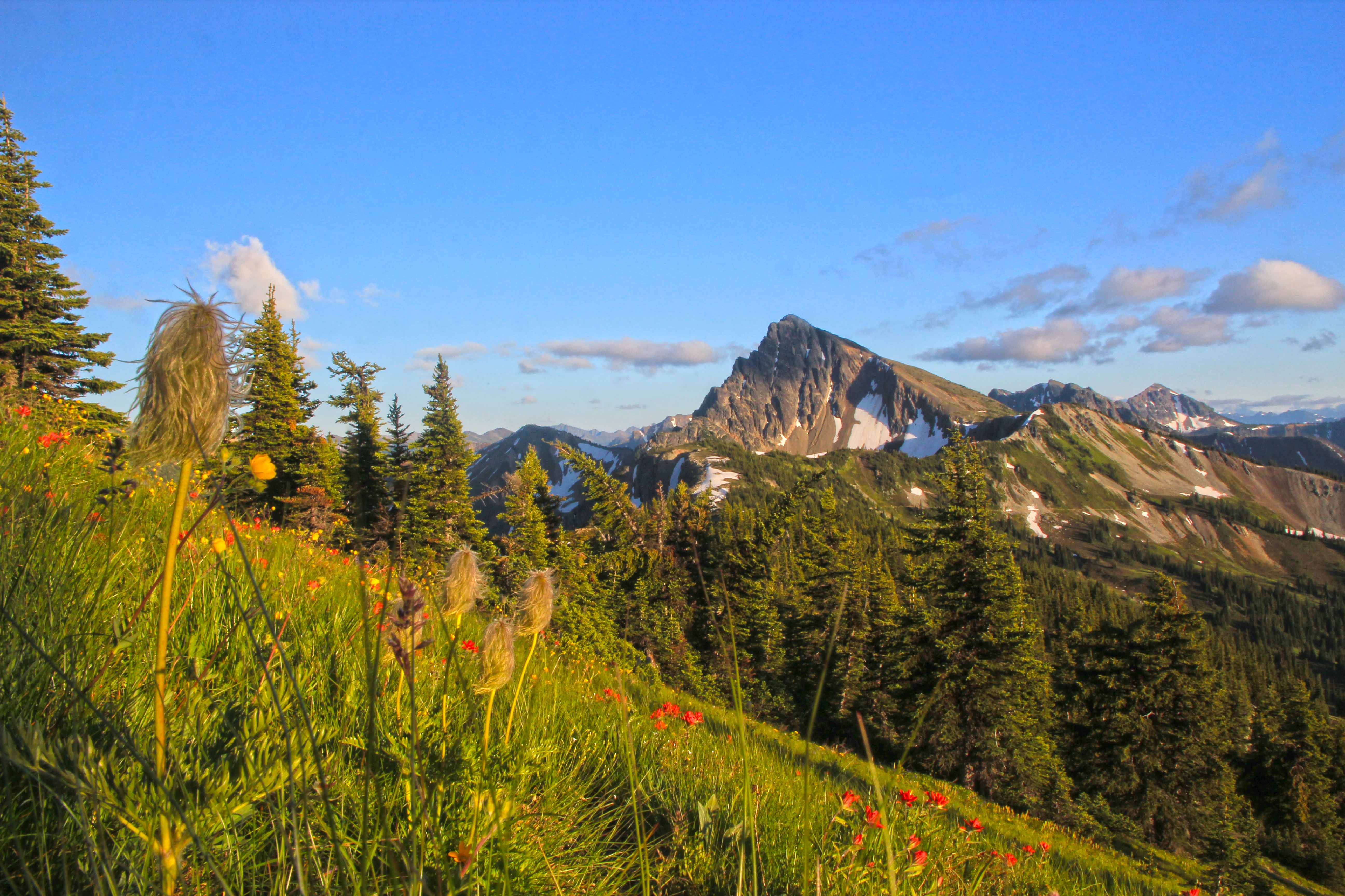
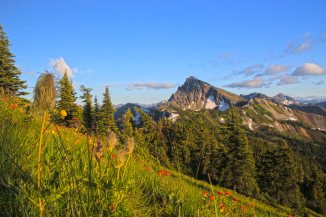
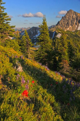
 Three Fools Peak and wildflowers
No permits are needed for hiking, you can bring a dog and camp where you like.
The trail slowly descends towards Holman Pass and then makes a gentle ascent towards Rock Pass.
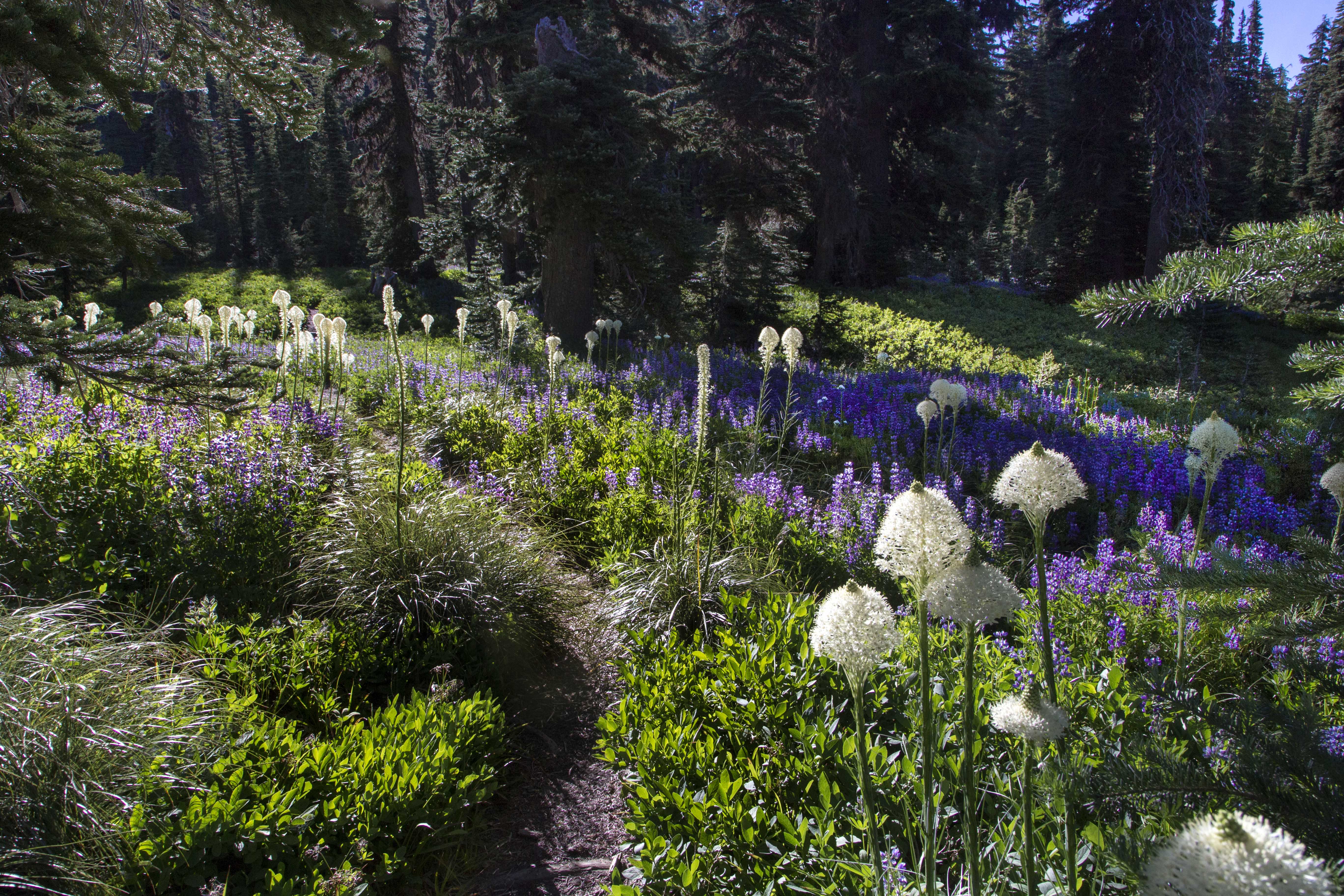
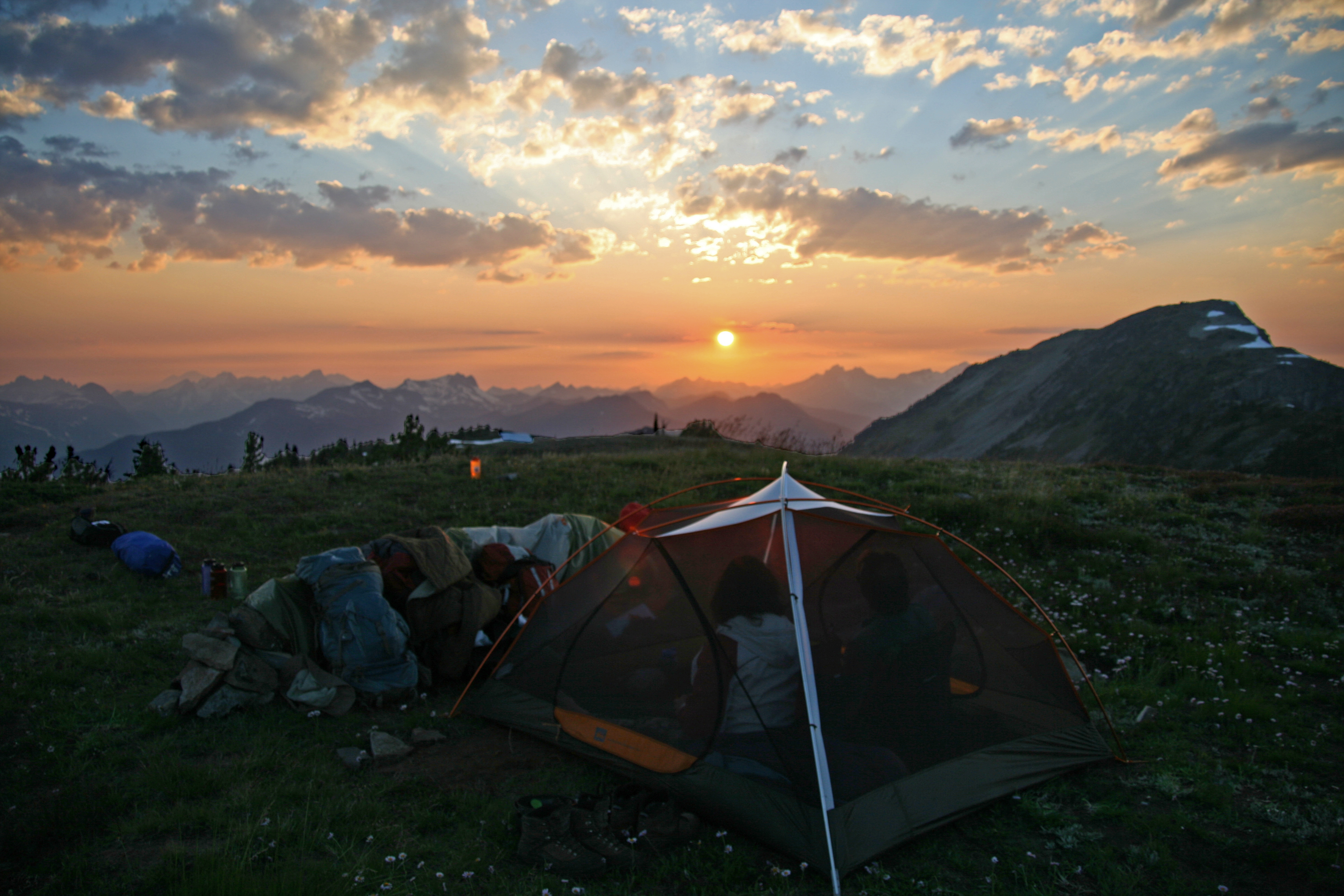
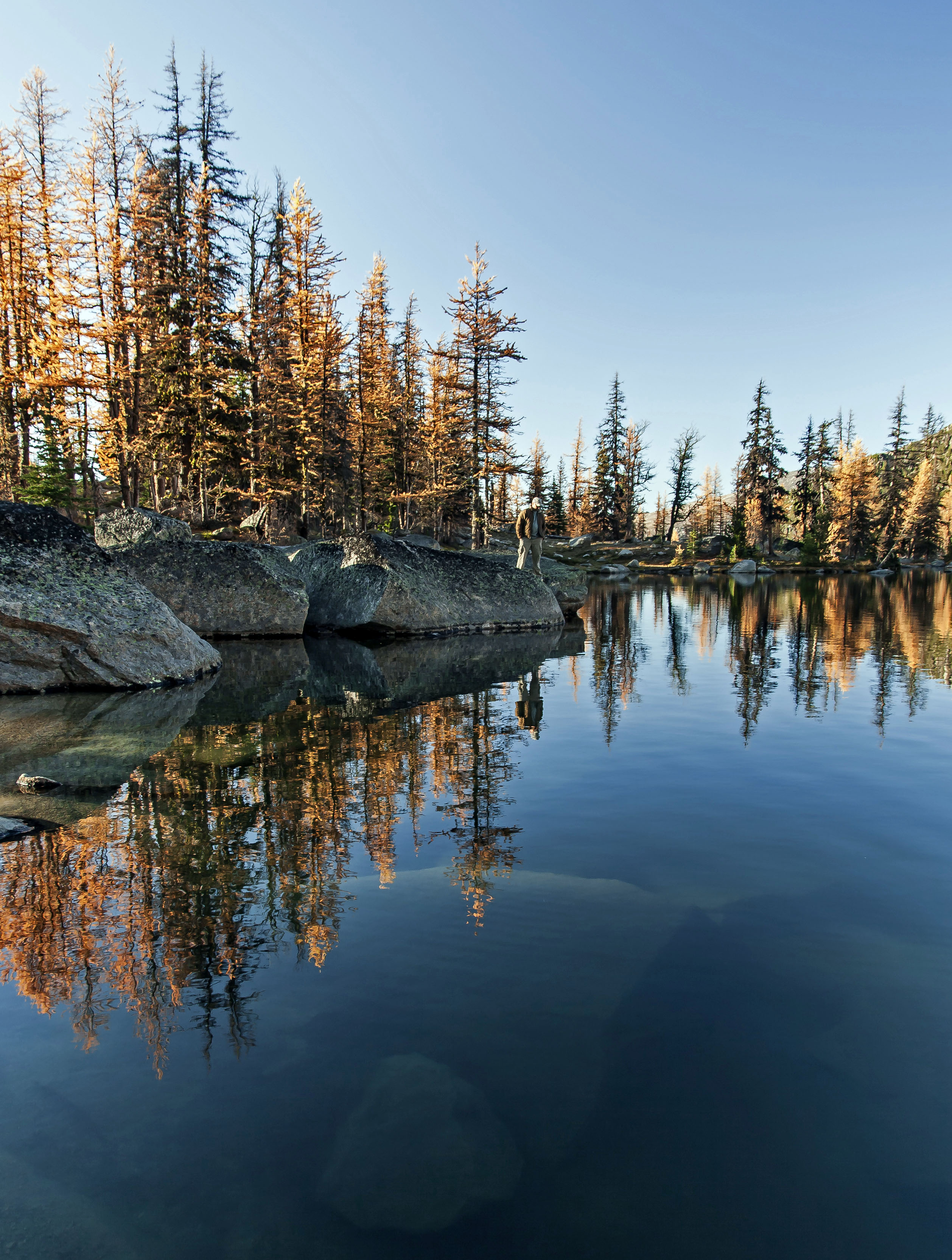
Before the pass is a fantastic place to camp near a spring, just below Powder Mountain. Tiny Goat Lakes are an easy jaunt away…
 Campsite below Goat Lakes
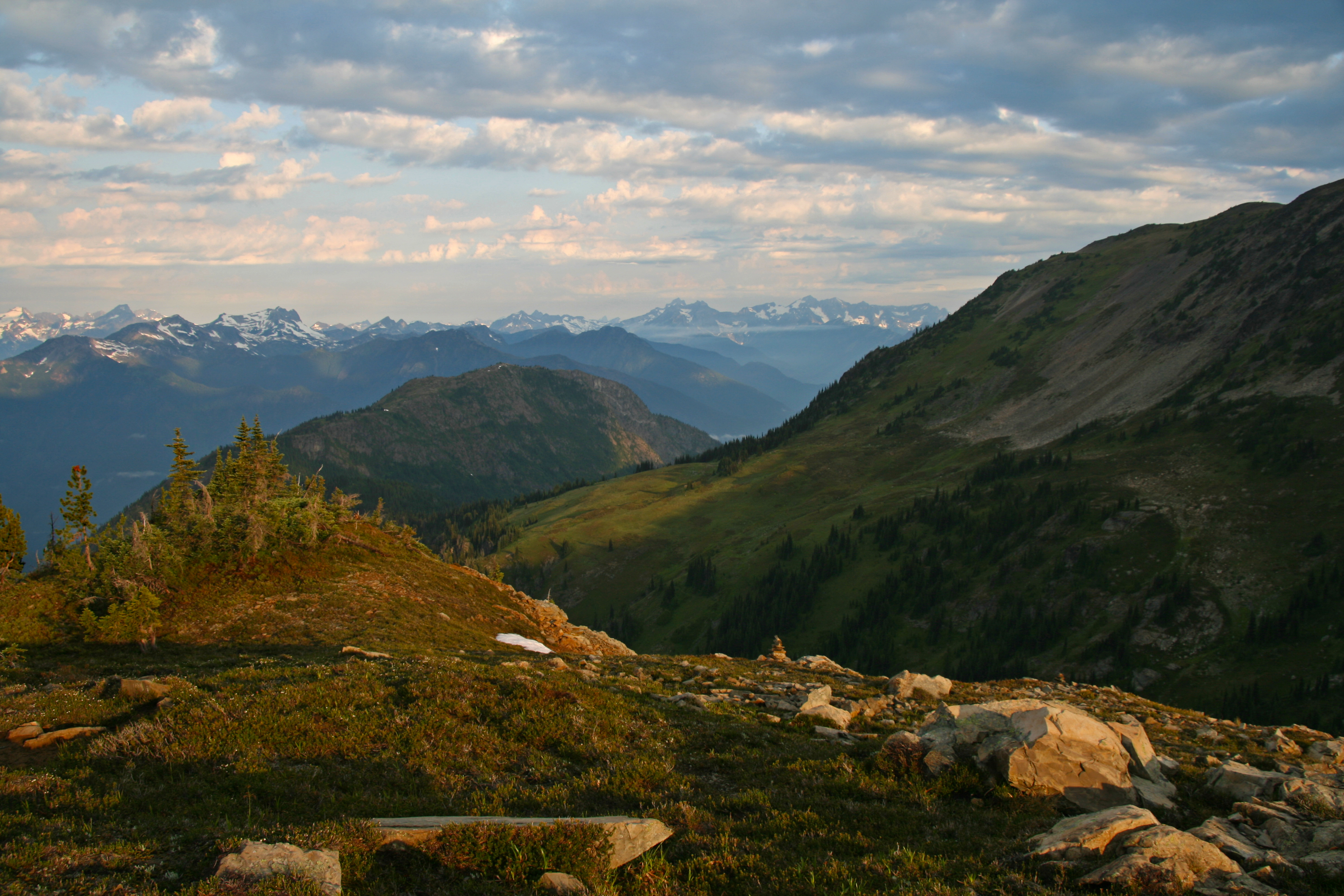
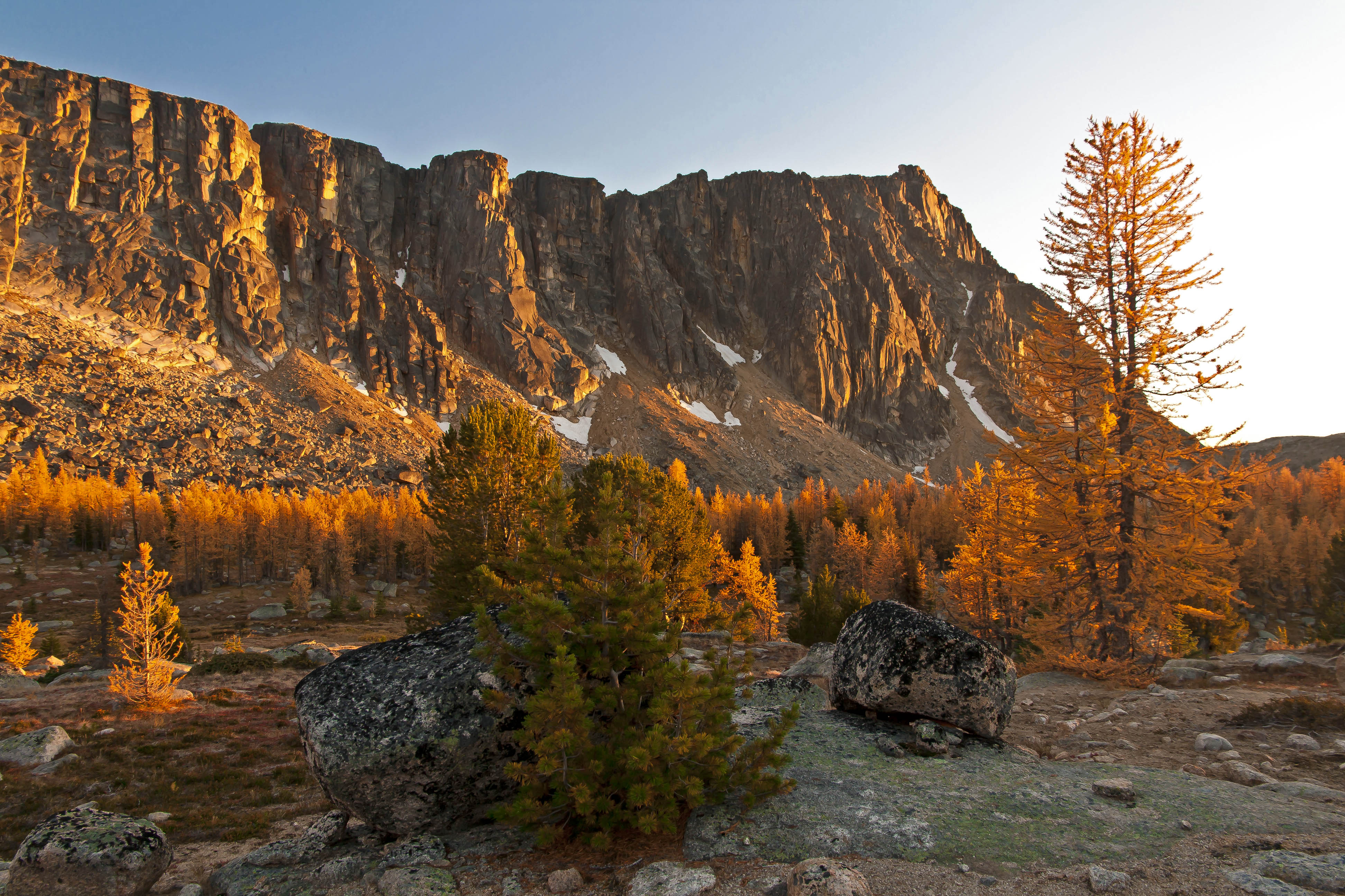
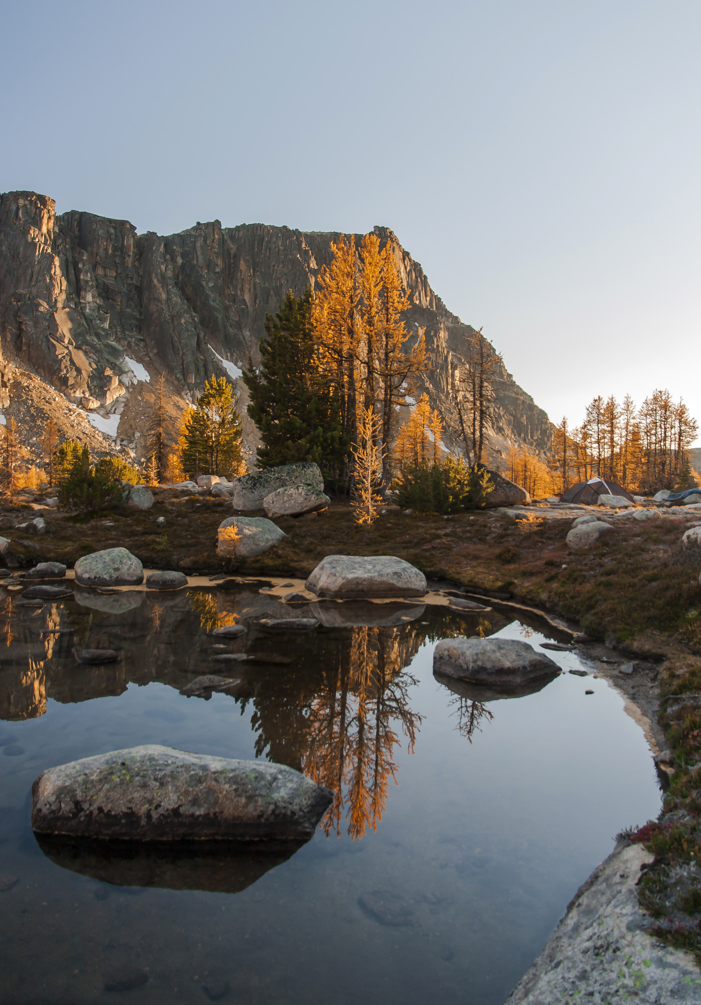
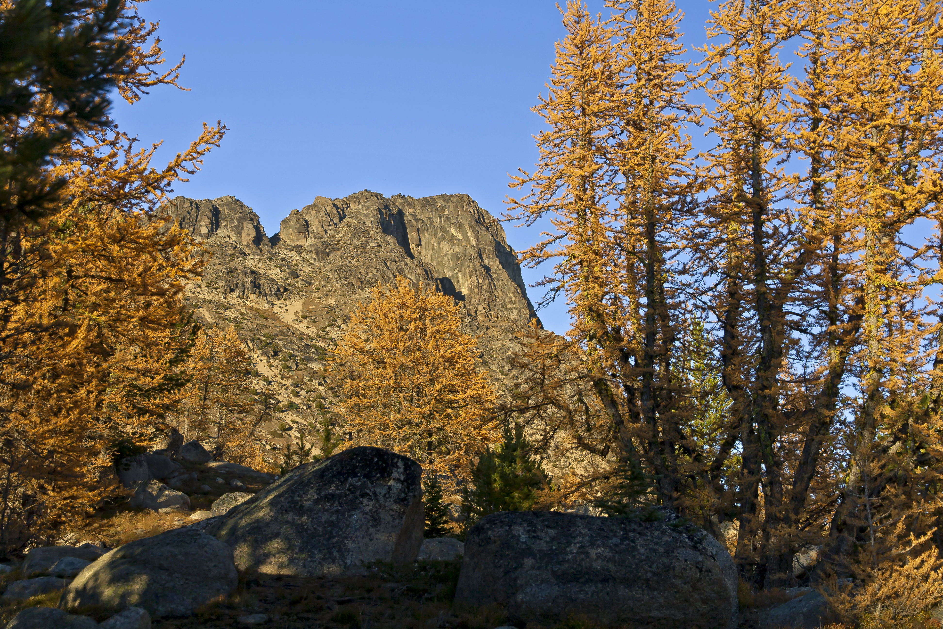
From Rock Pass the trail makes a slight dip, traversing a steep gully, before rising to Woody Pass. Here the trail crosses the Cascade Crest and views appear west to Mount Baker and the Picket Range. 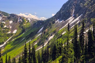 Rock Pass
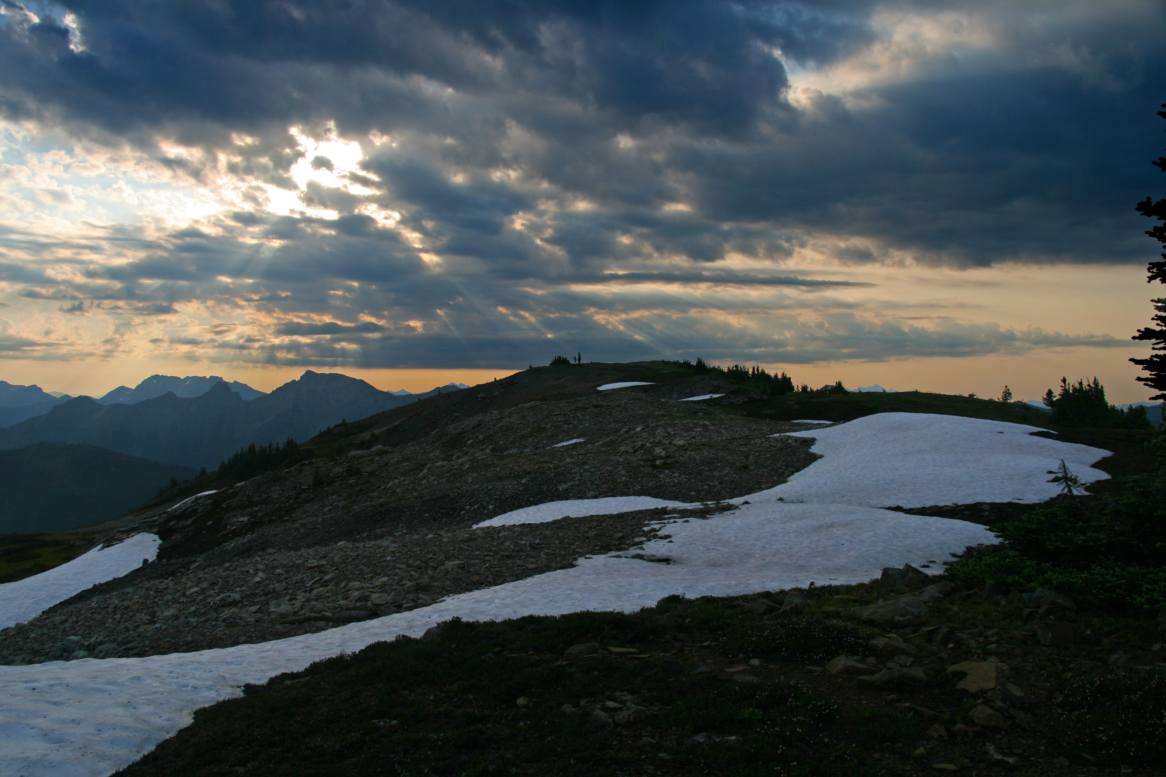
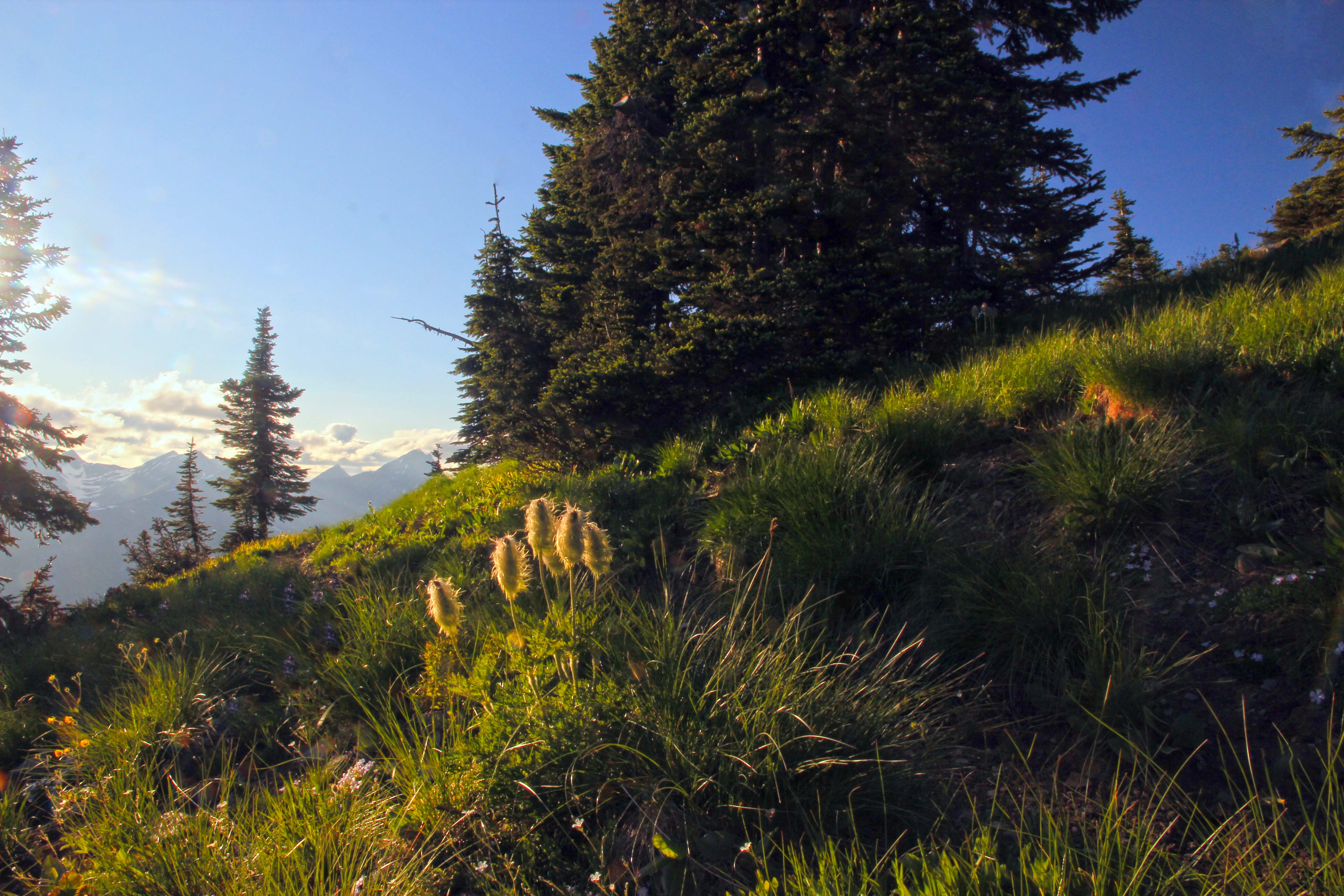
 On the Pacific Crest Trail, headed north towards Lakeview Ridge
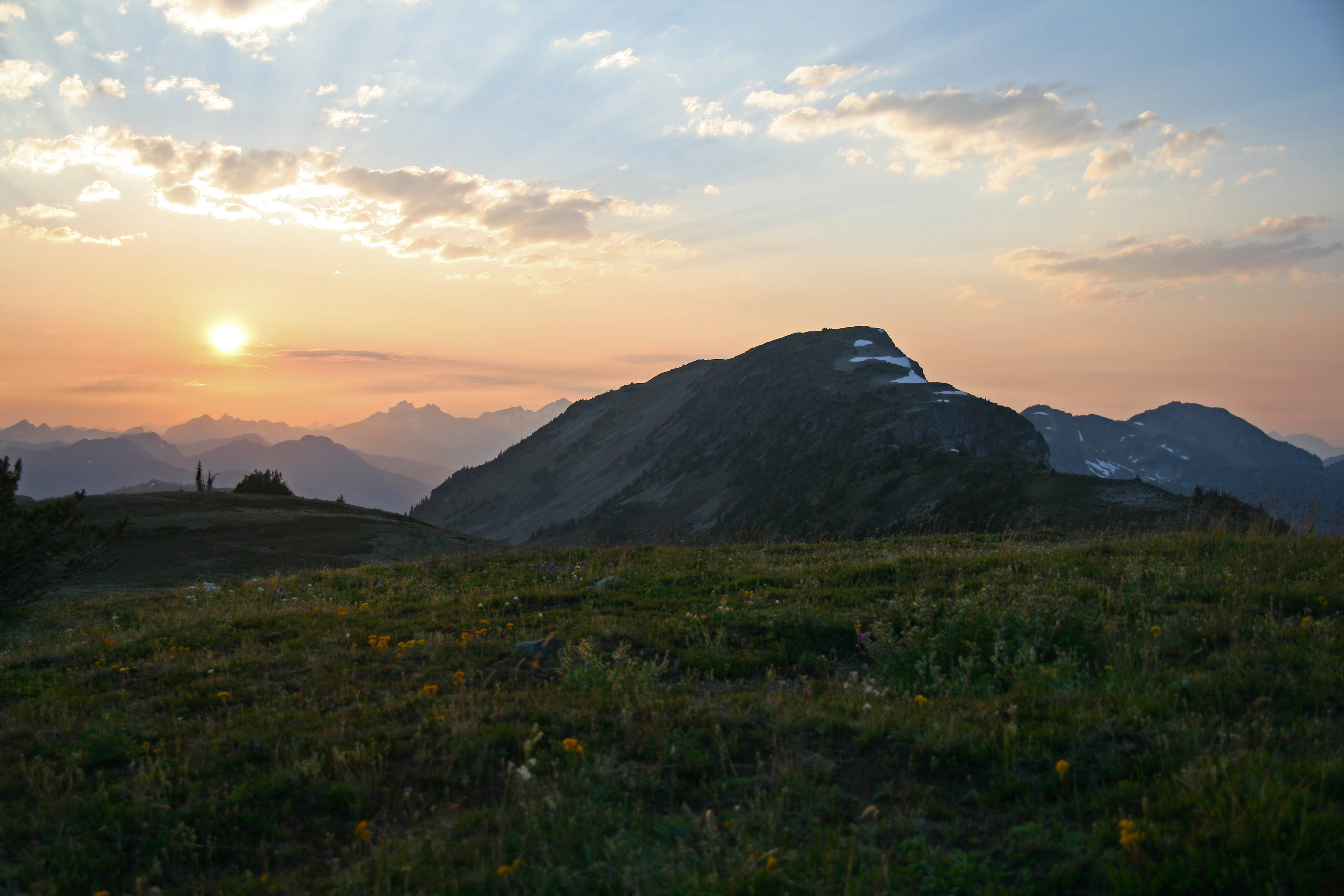
The trail maintains its elevation as it heads north towards our destination. The views are superb. Rounding a last finger ridge you now start the final ascent to the top of the ridge.
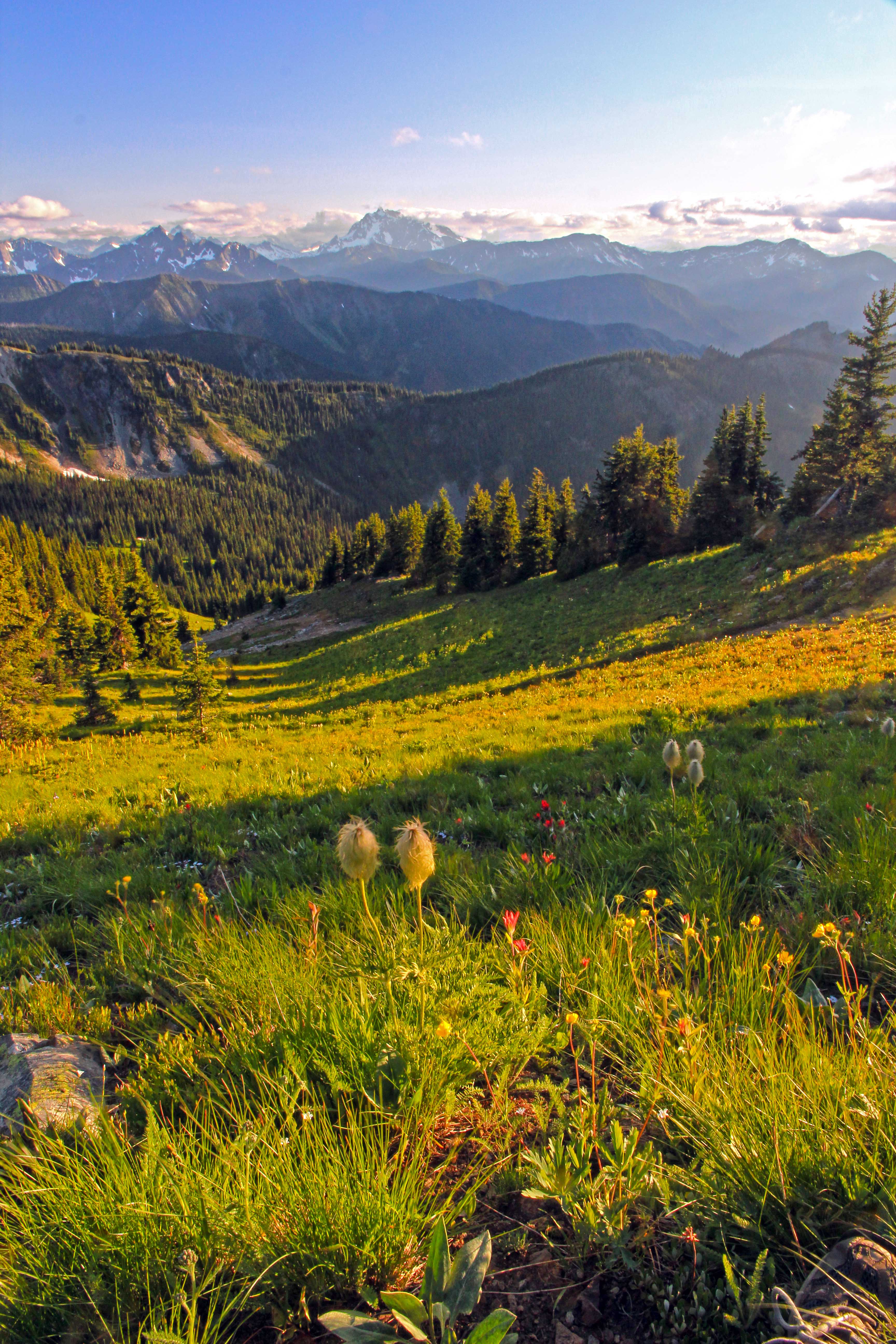
 Final section of trail
Snow lingers here well into august, so water is usually not an issue. .
There are many wonderfully scenic spots to pitch your tent. The only problem is deciding exactly which awesome view you want from your front door.
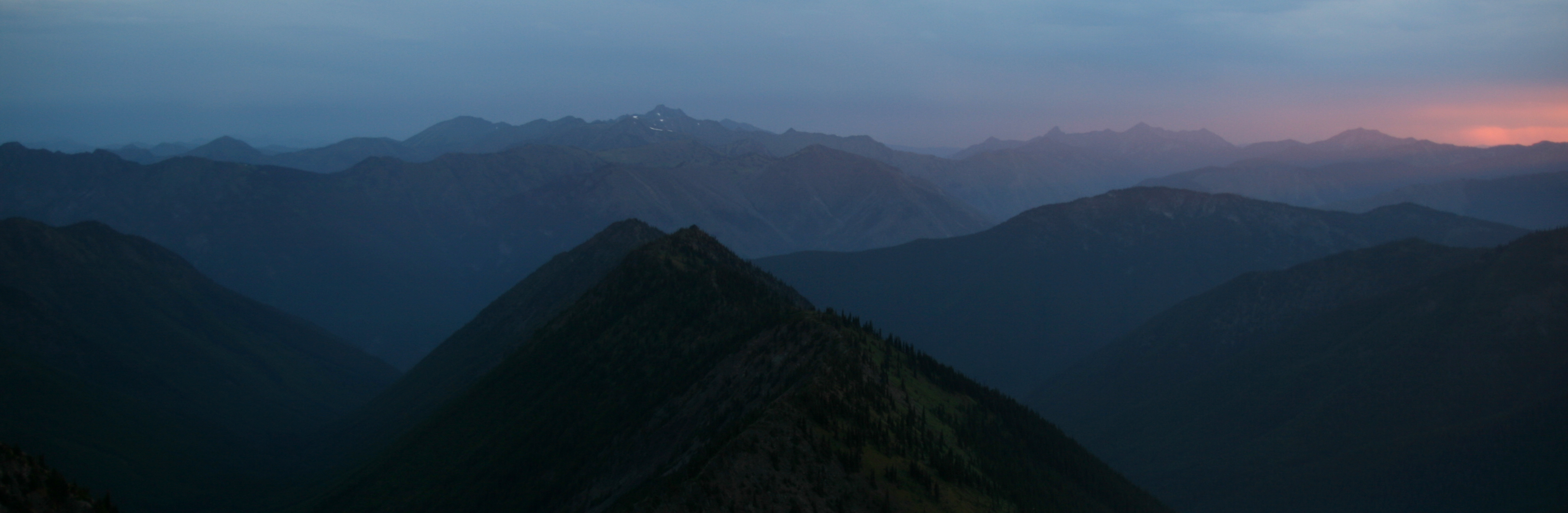
 Looking north towards Jack Mountain
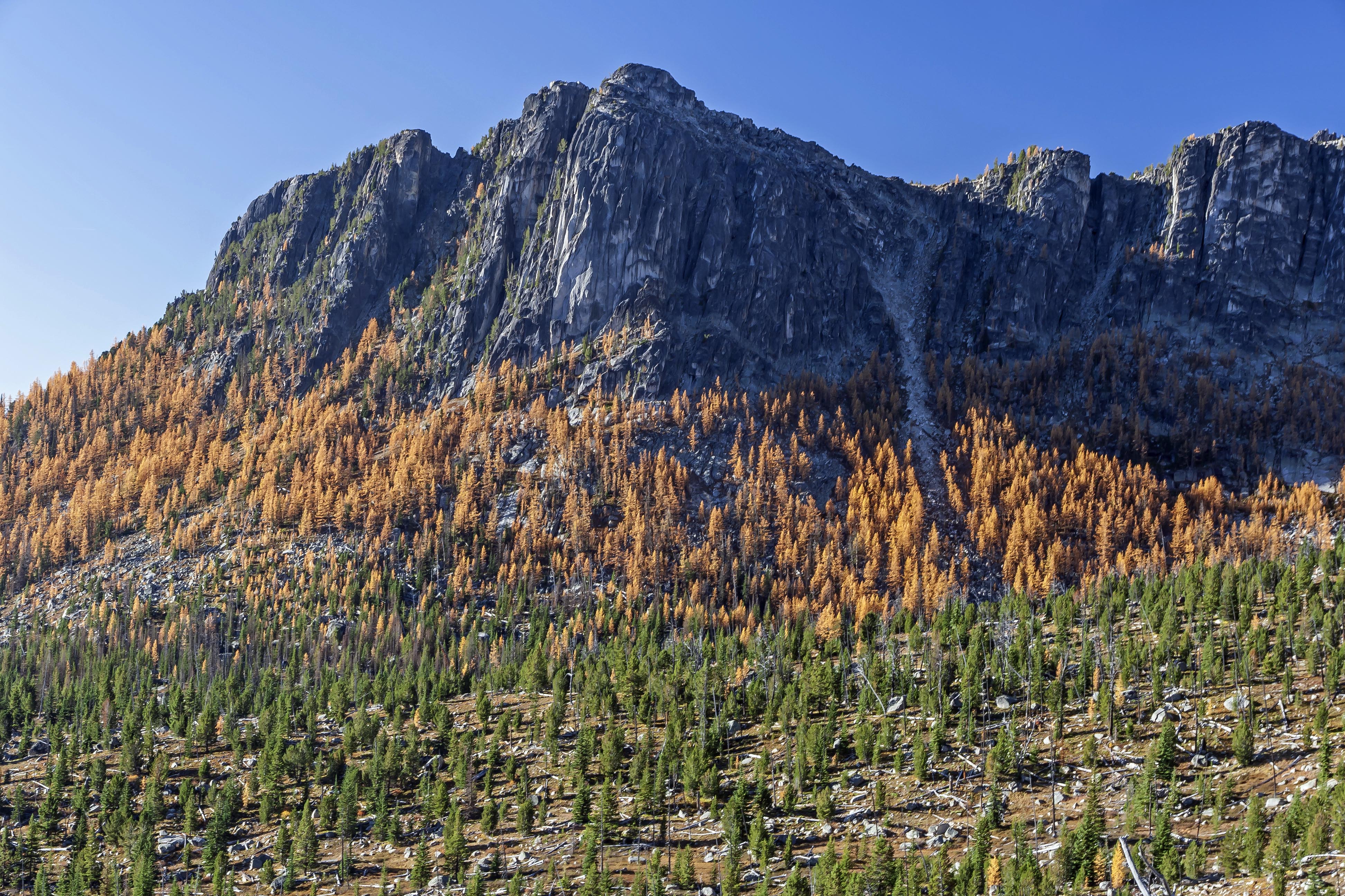
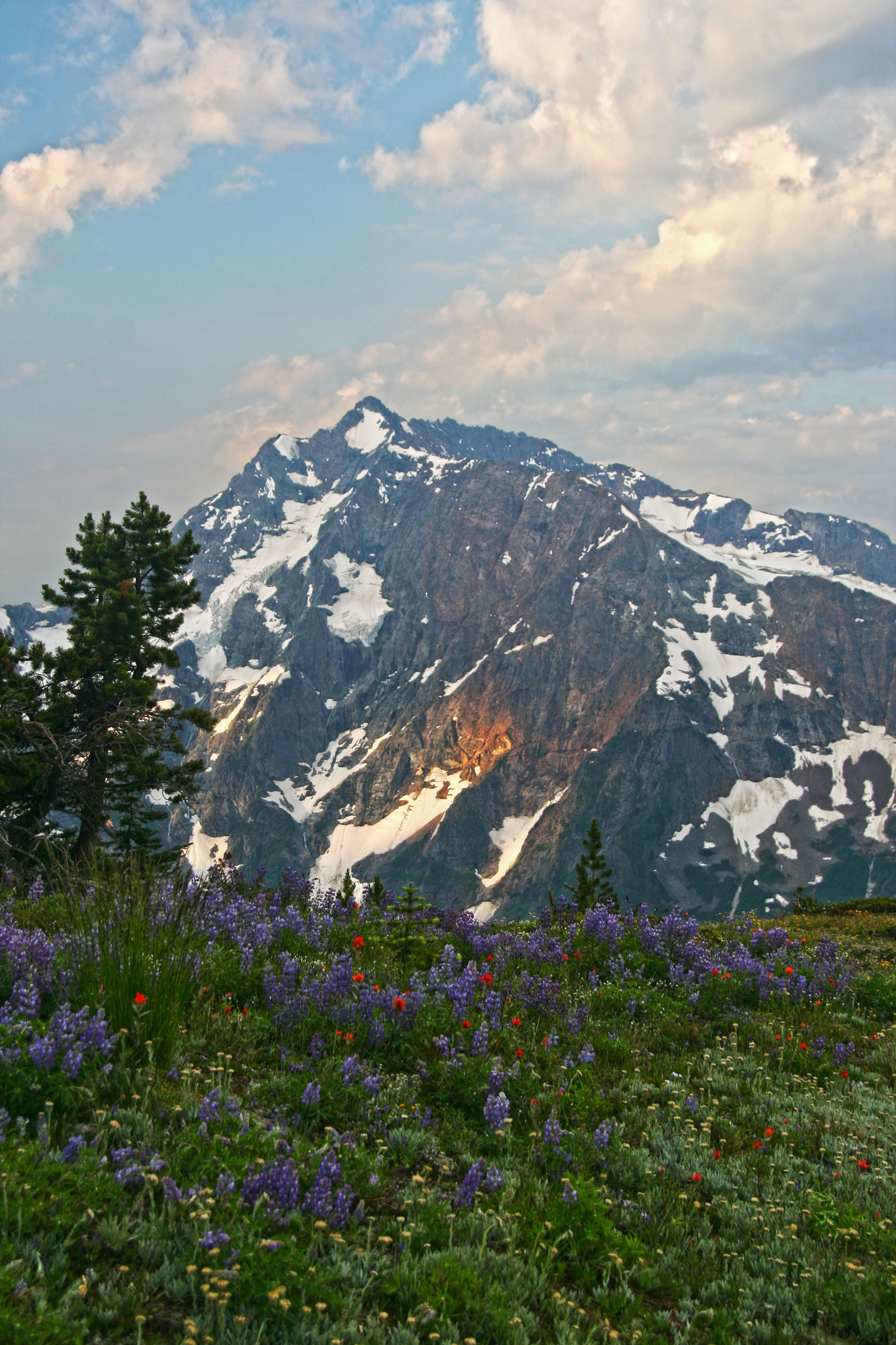
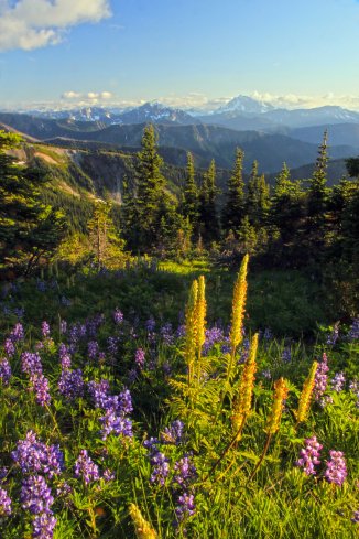
Three Fools Peak is the most prominent peak. Framed in lupines and paintbrush its dark, triangular visage juxtaposes nicely. 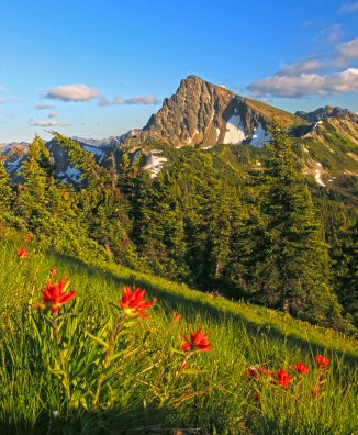 Three Fools Peak and Paintbrush
Smoky Mountain and Soda Peak, due east, form a colorful backdrop to the lakes below.
 Three Fools Peak, Smoky Mountain and Soda Peak
To the north Castle Peak, Freeze Out and Joker Mountains guard one of the most remote parts of the wilderness, near Elbow Basin. 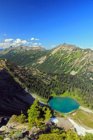 Looking north, down the Devils Stairway to Hopkins Lake
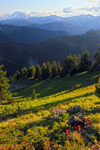
To the west, across Ross Lake a sea of peaks rise, their many glaciers gleaming in the sun.
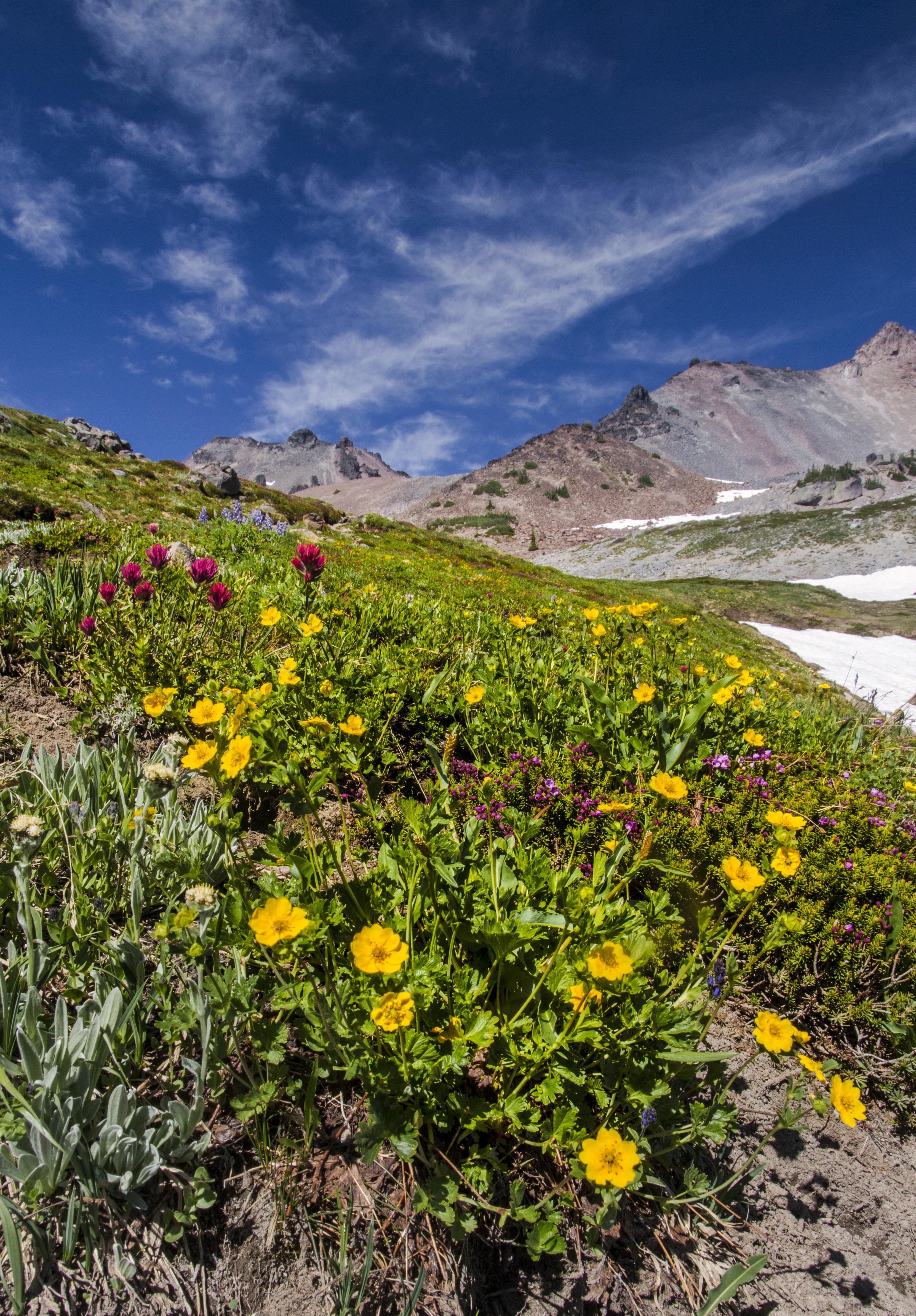
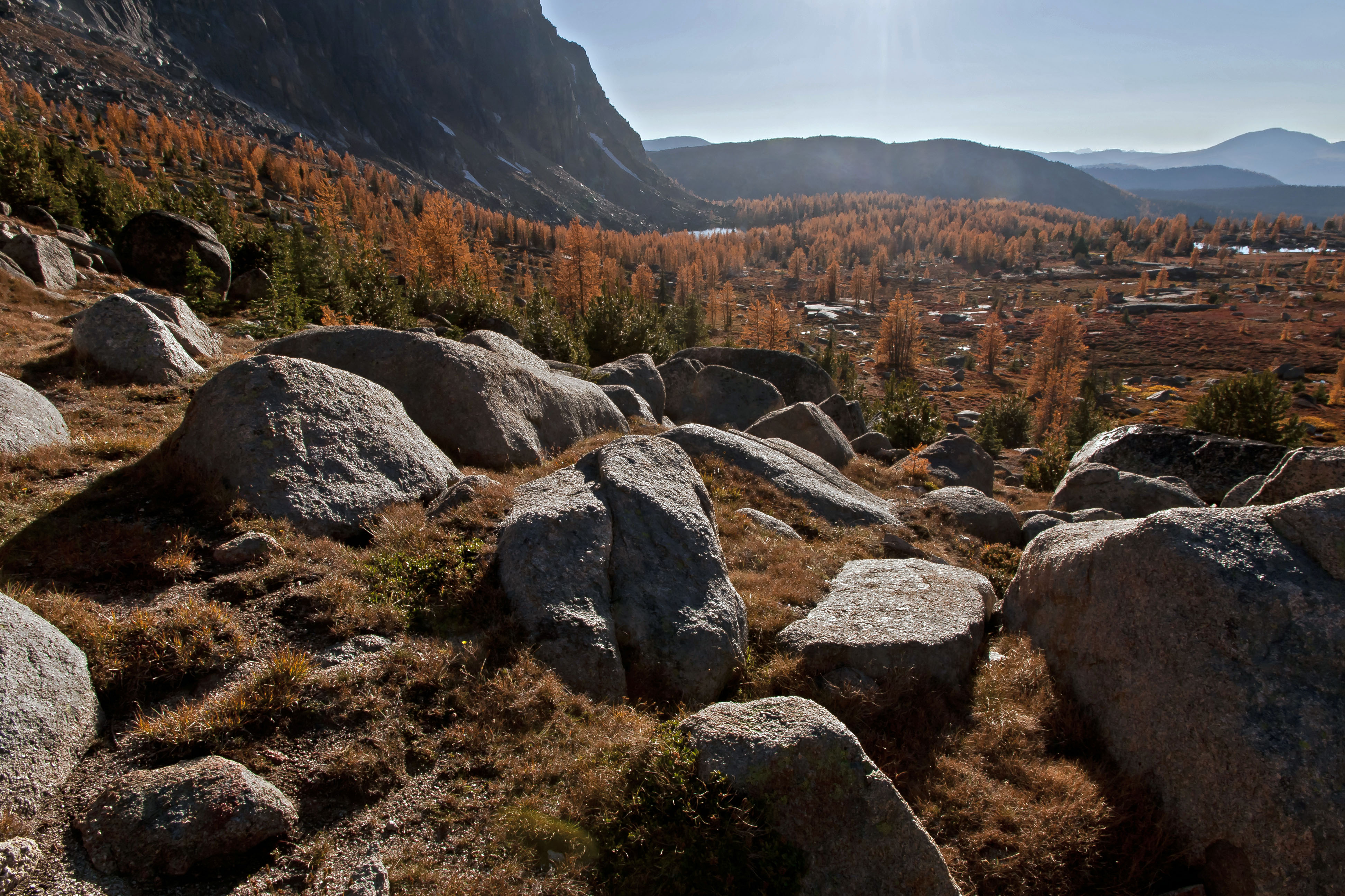
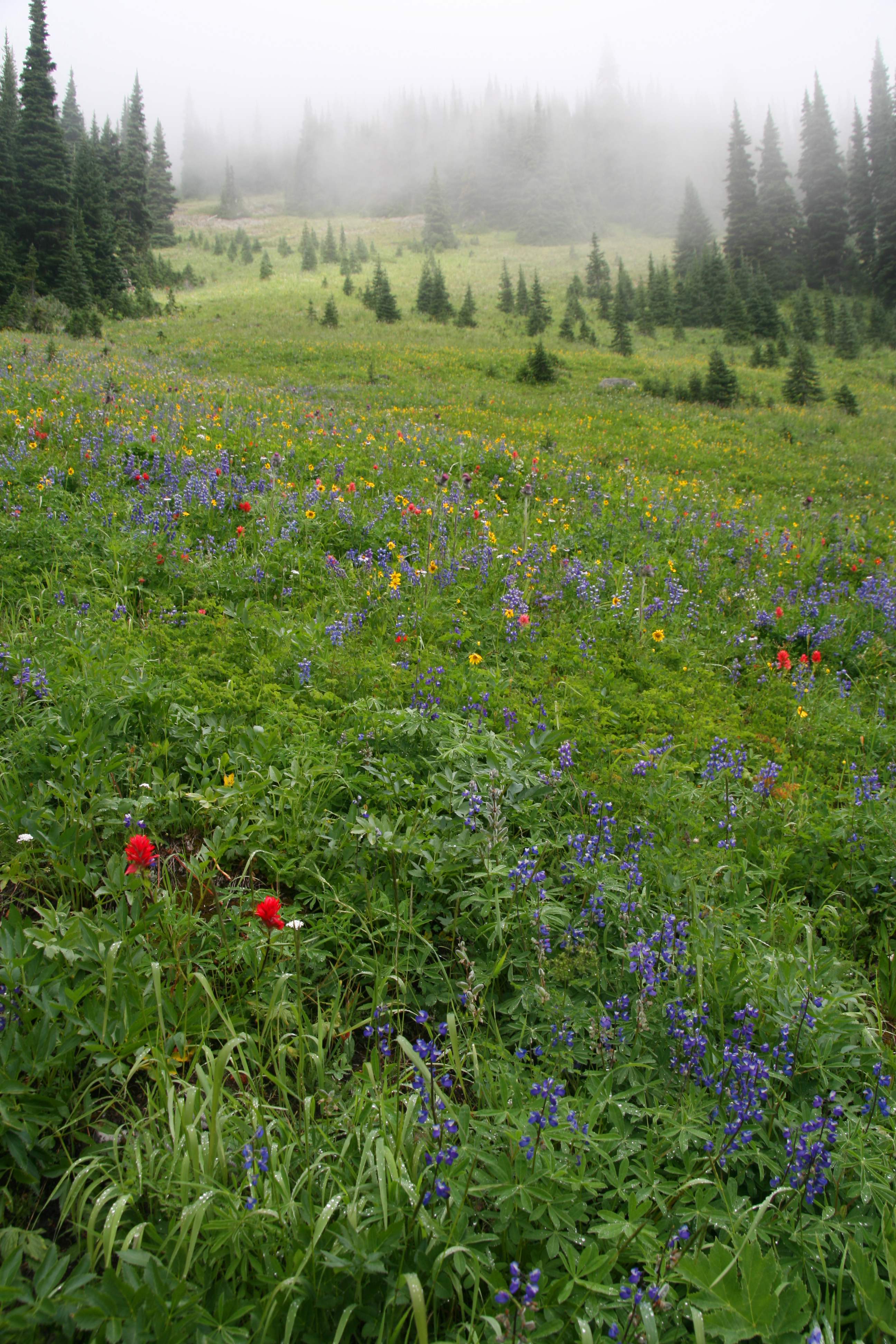
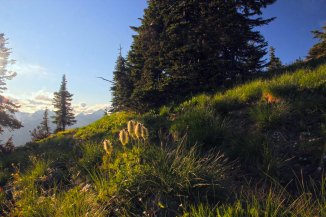
Wildflowers bloom well into August atop the ridge. The bright colors demanding that you take lots of pictures.

With out a doubt one of the best campsites in Washington, one I will visit again!