A Stormy Night Atop Devils Dome

Devils Dome_Panorama 101m
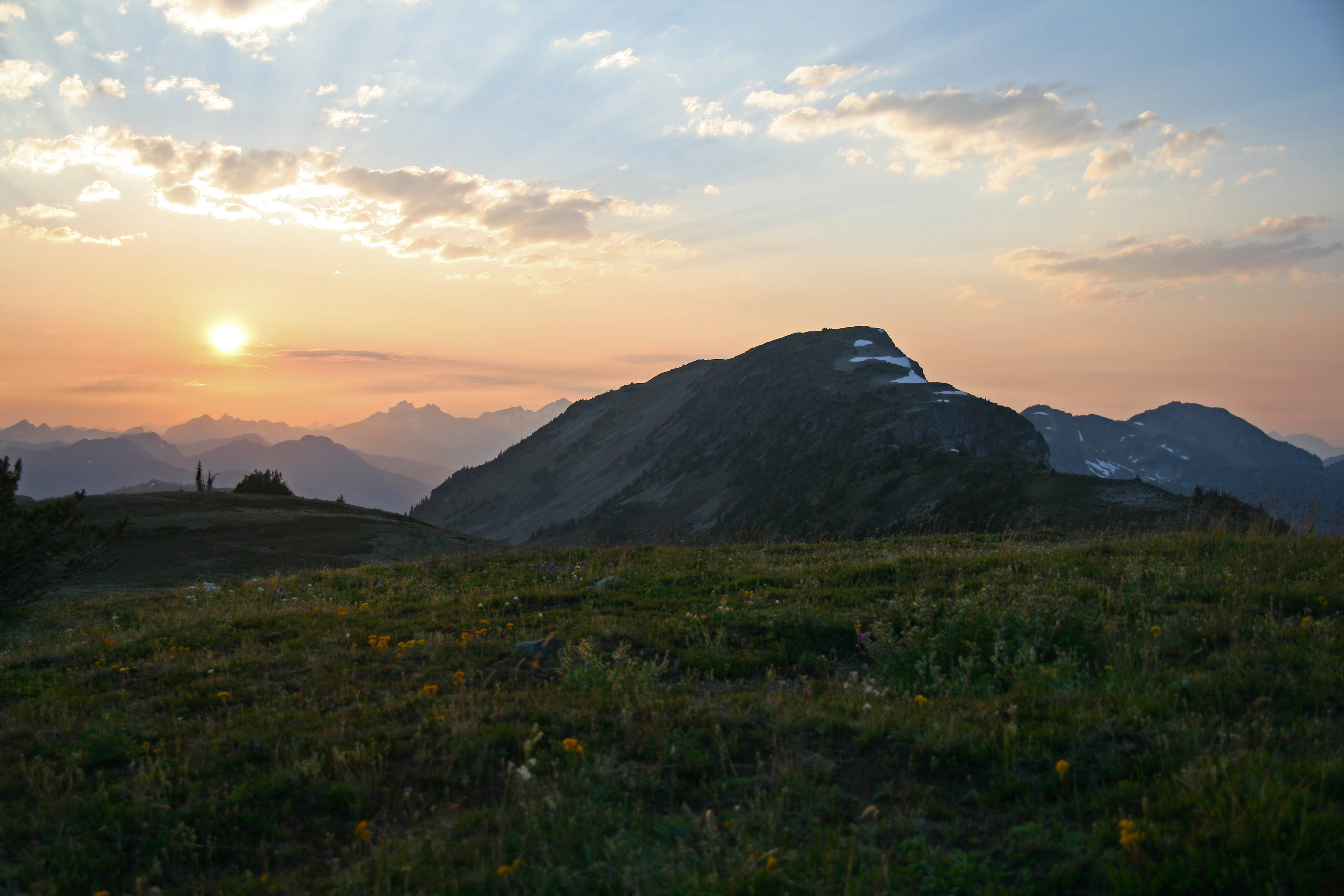
We arrived atop Devils Dome late in the afternoon and set up camp. Devils Dome, Pasayten Wilderness
Though we were atop the peak snow fields nearby supplied us with water. The sunset was magnificent, but we watched it from inside our tent mesh because the mosquitoes were ravenous. Devils Dome Sunset
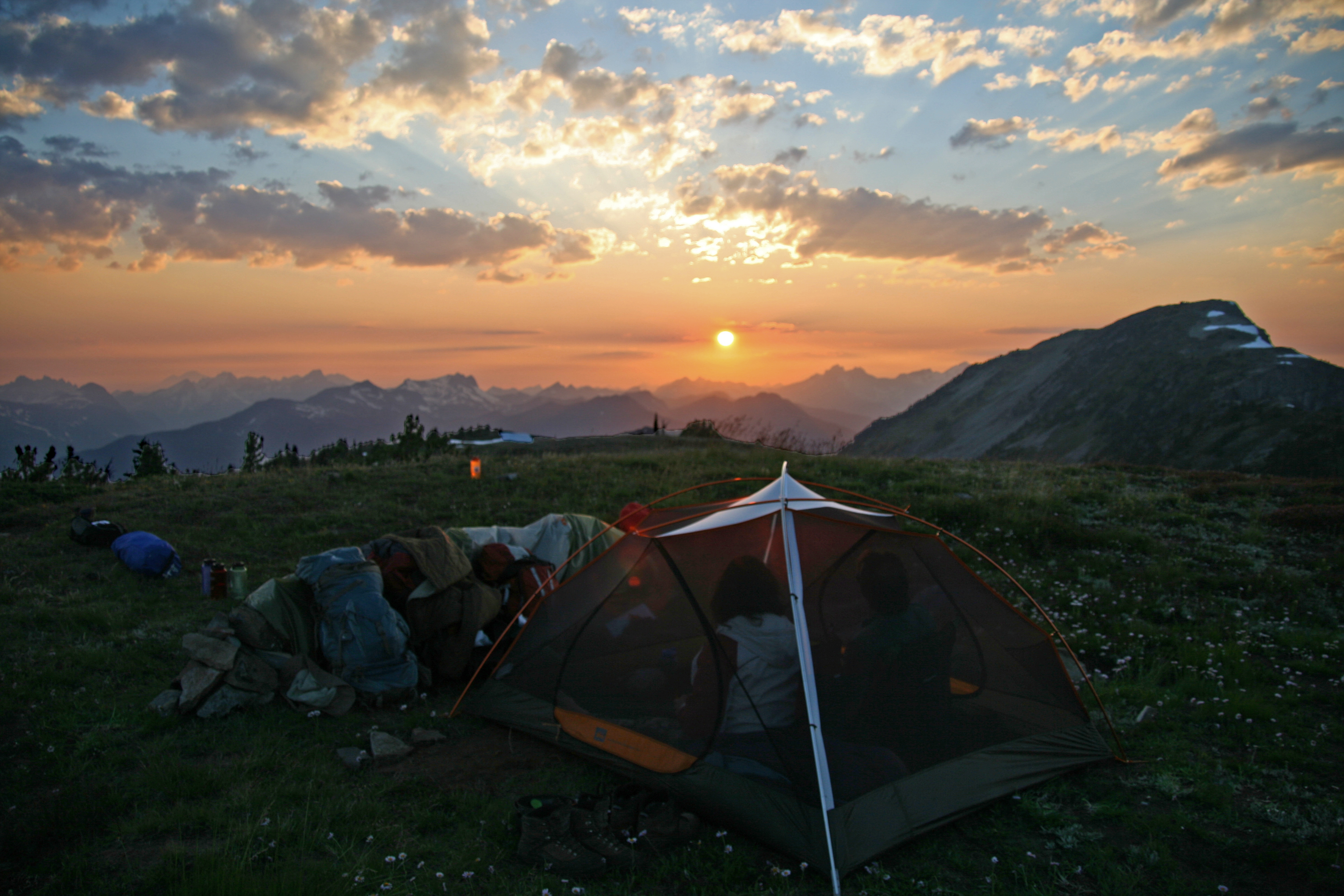
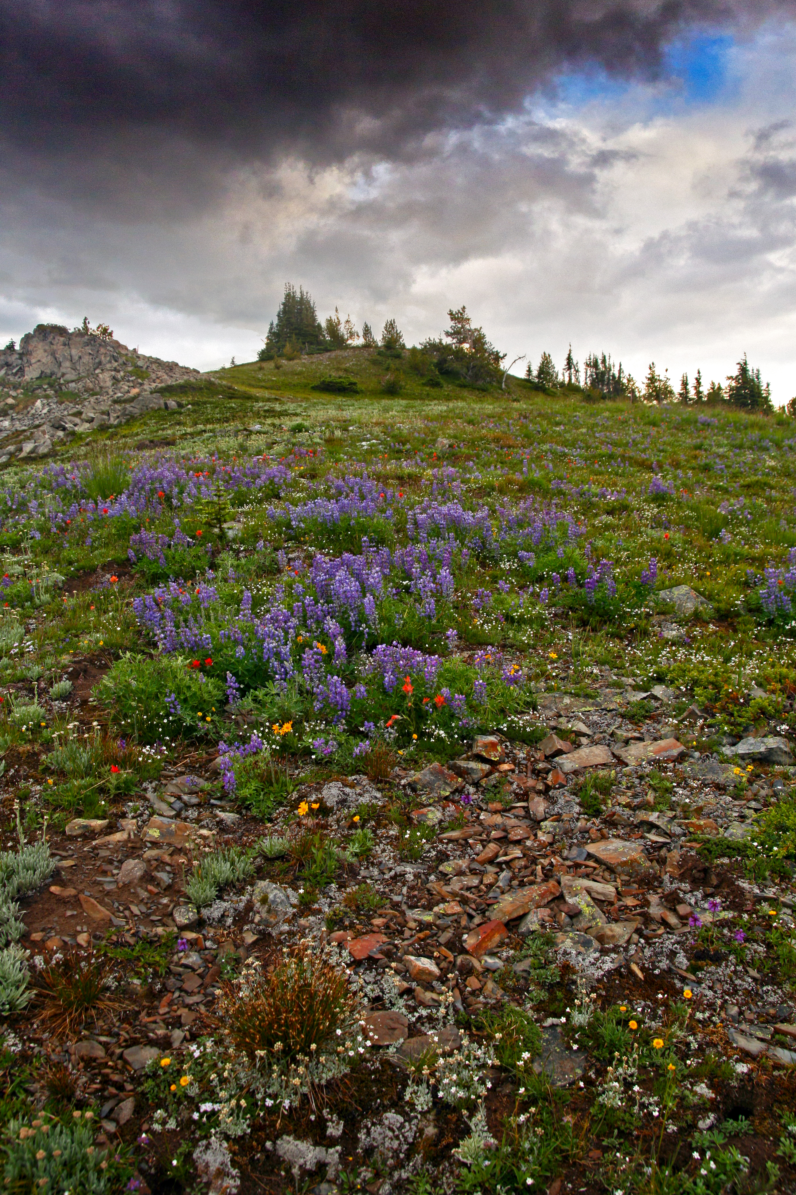
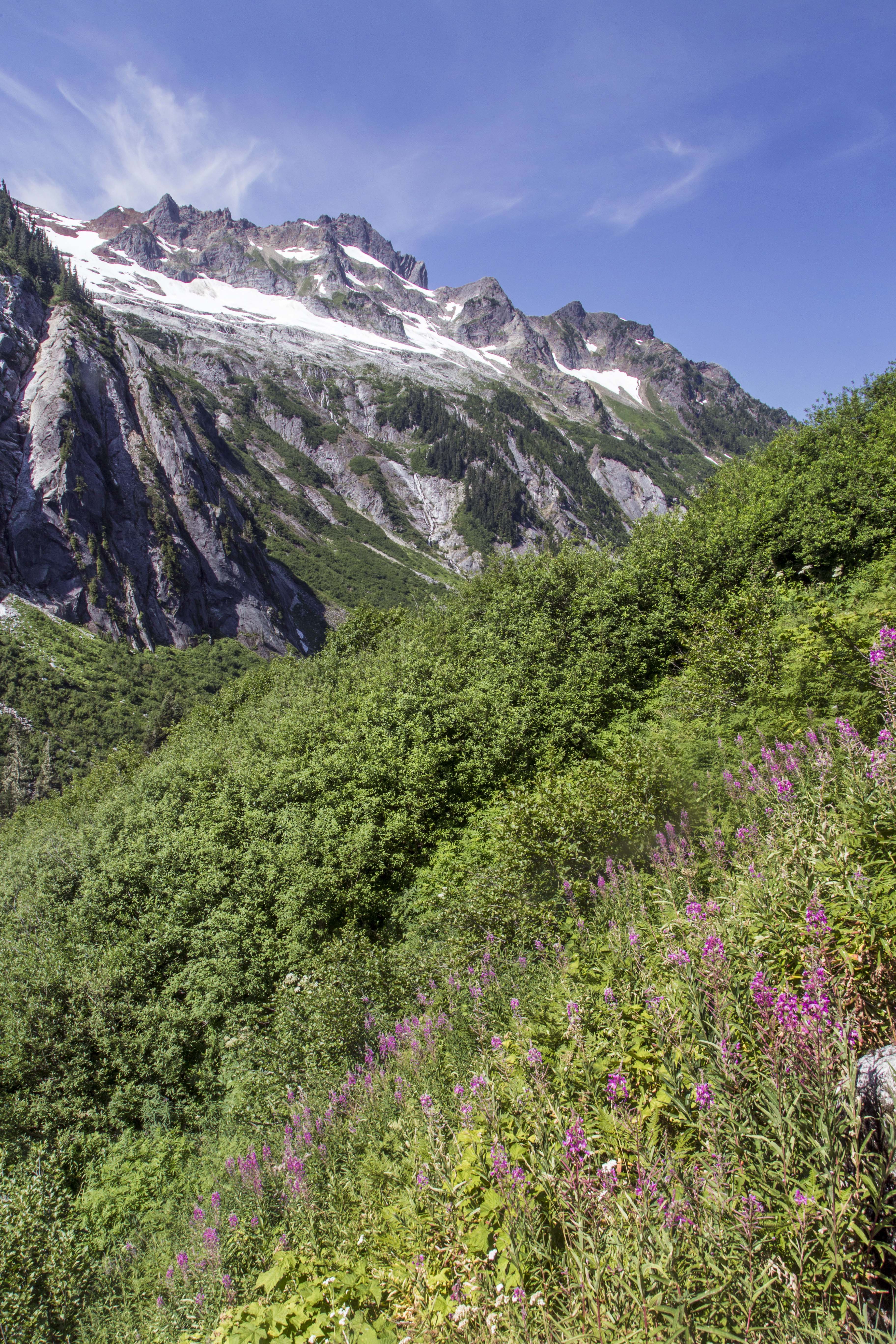
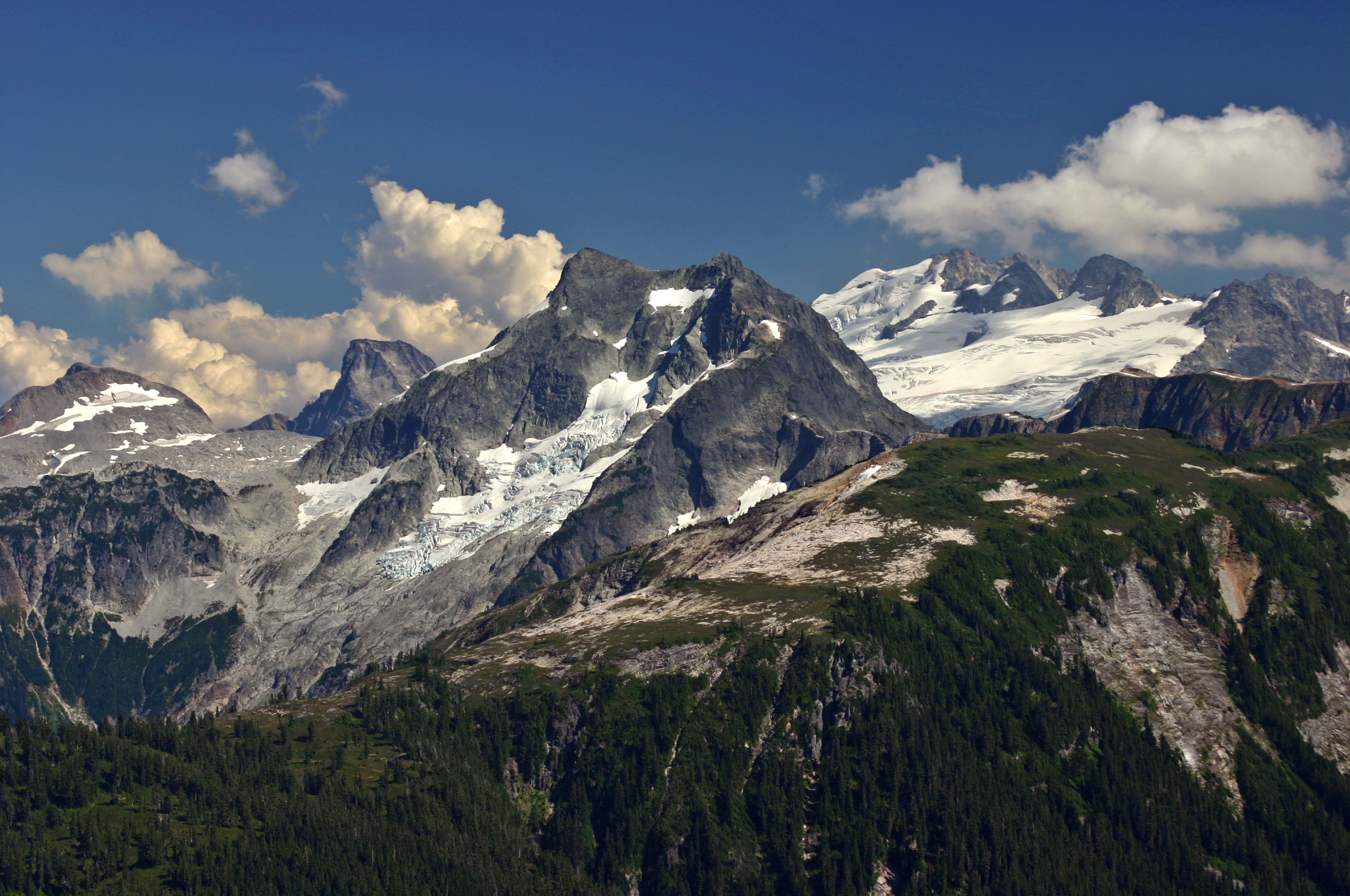
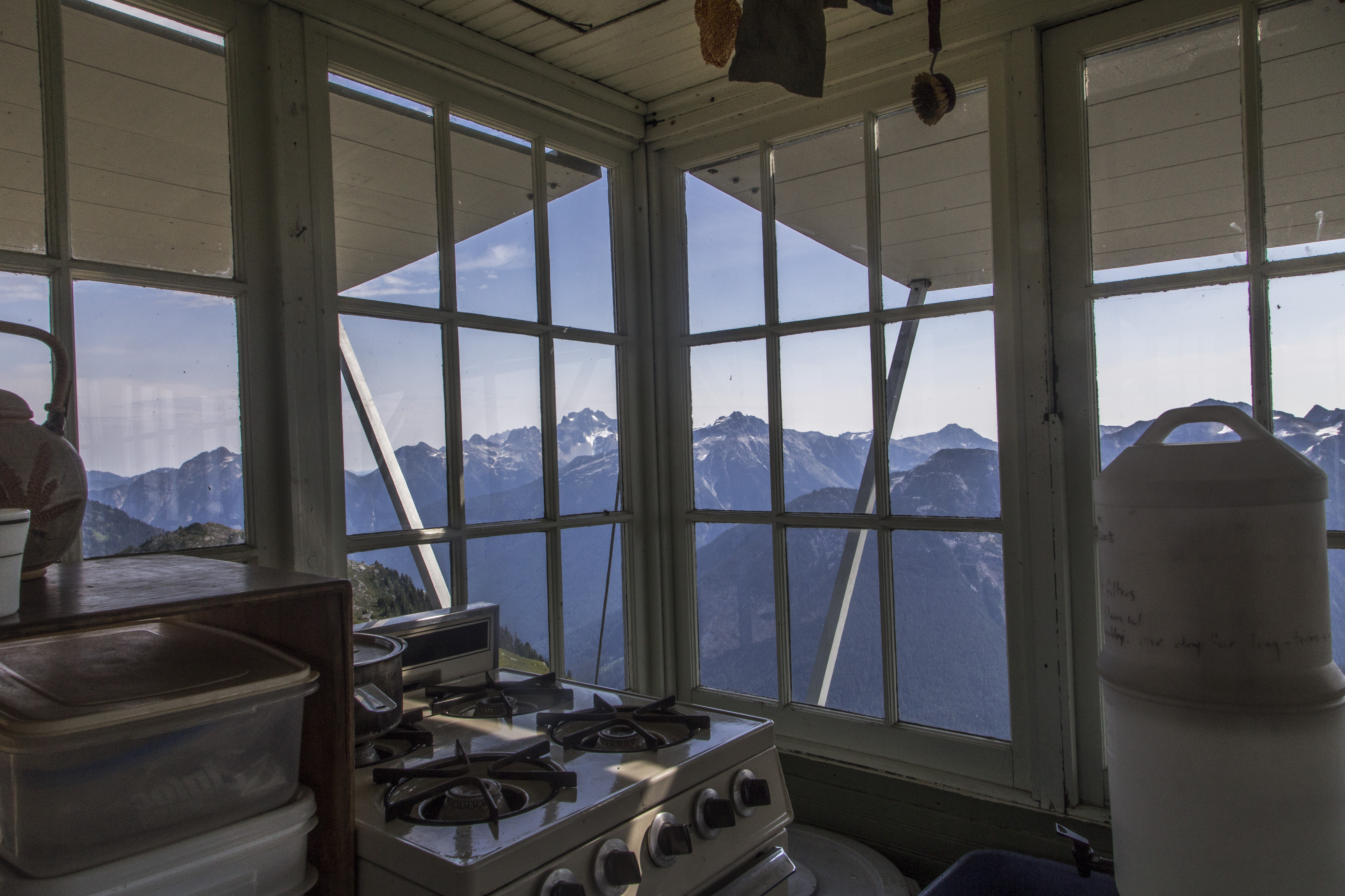
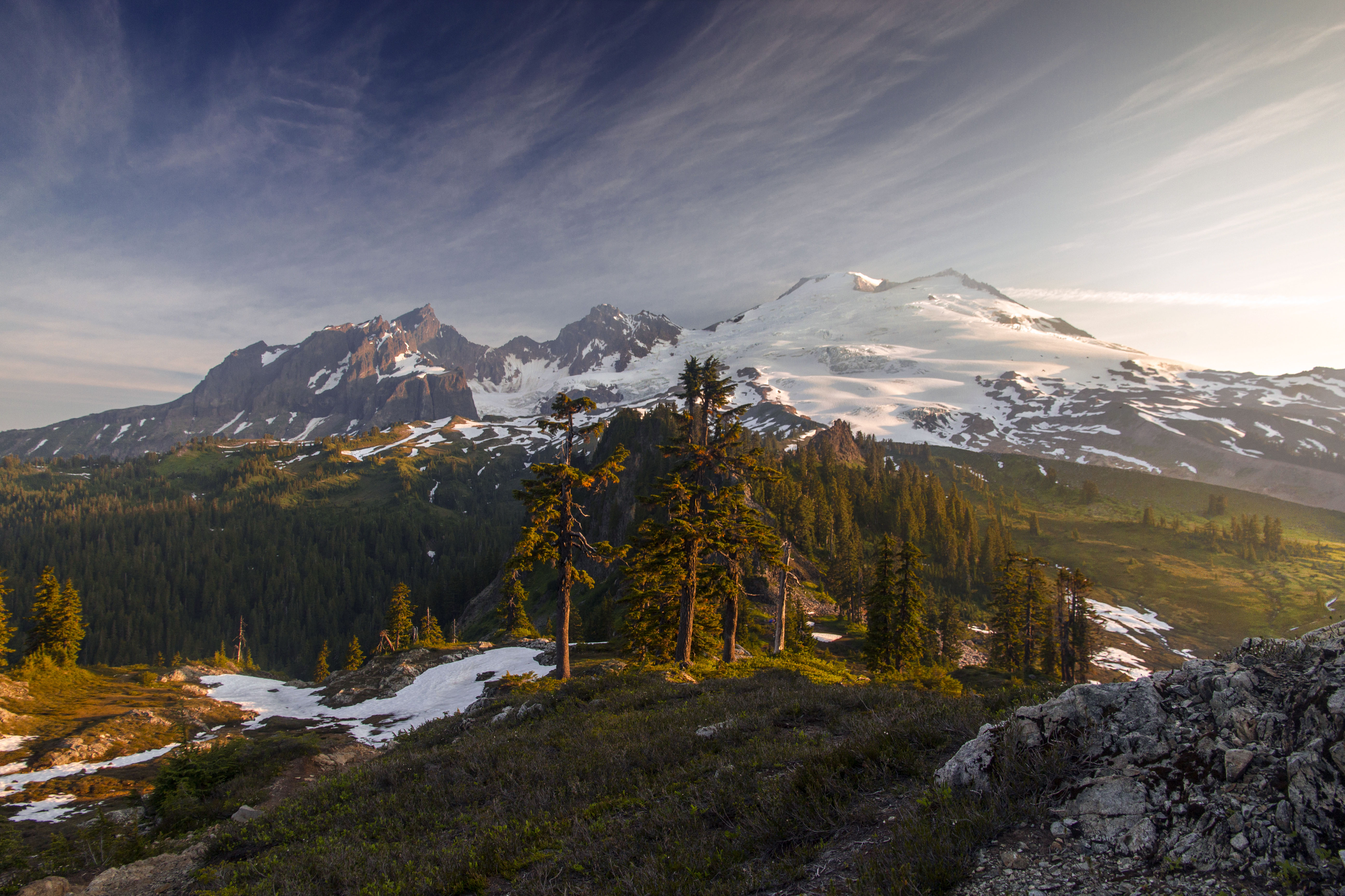
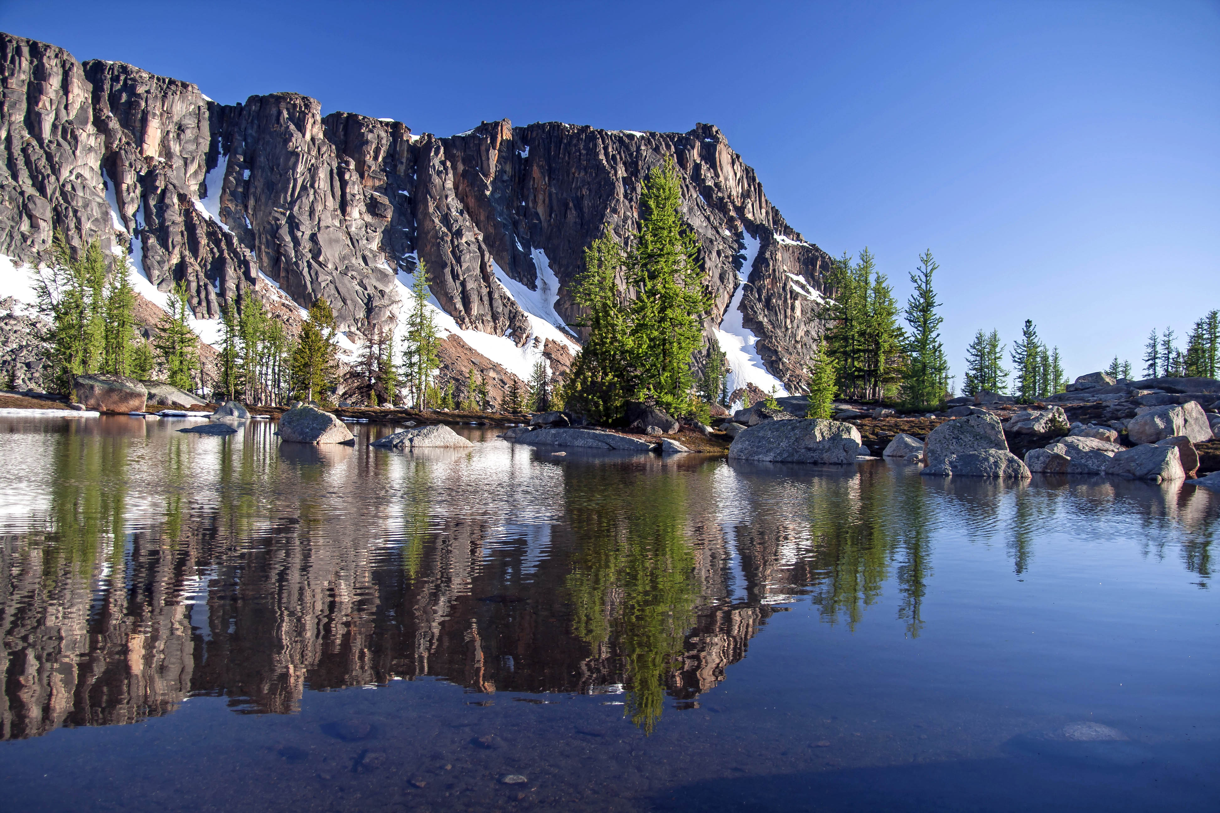
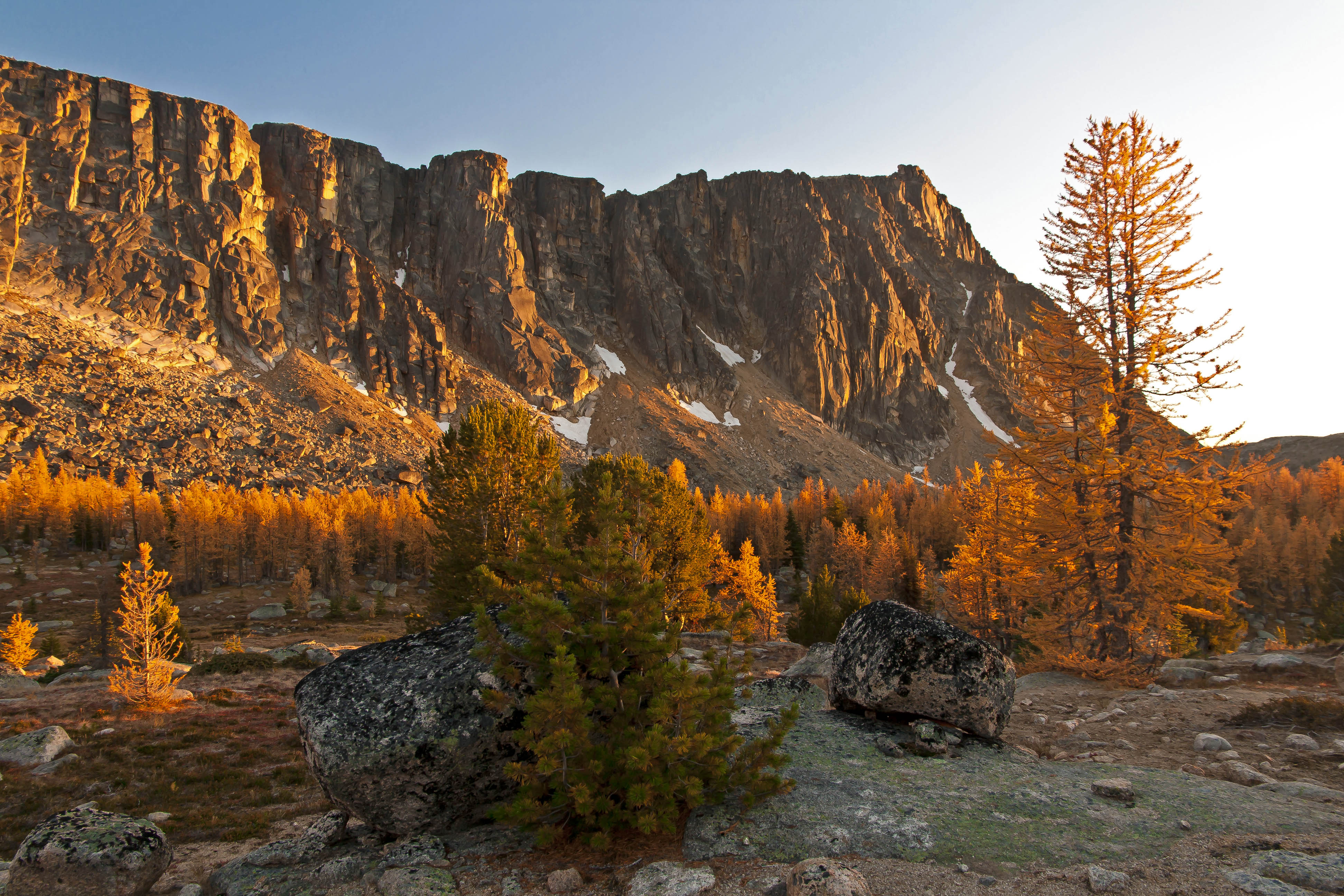
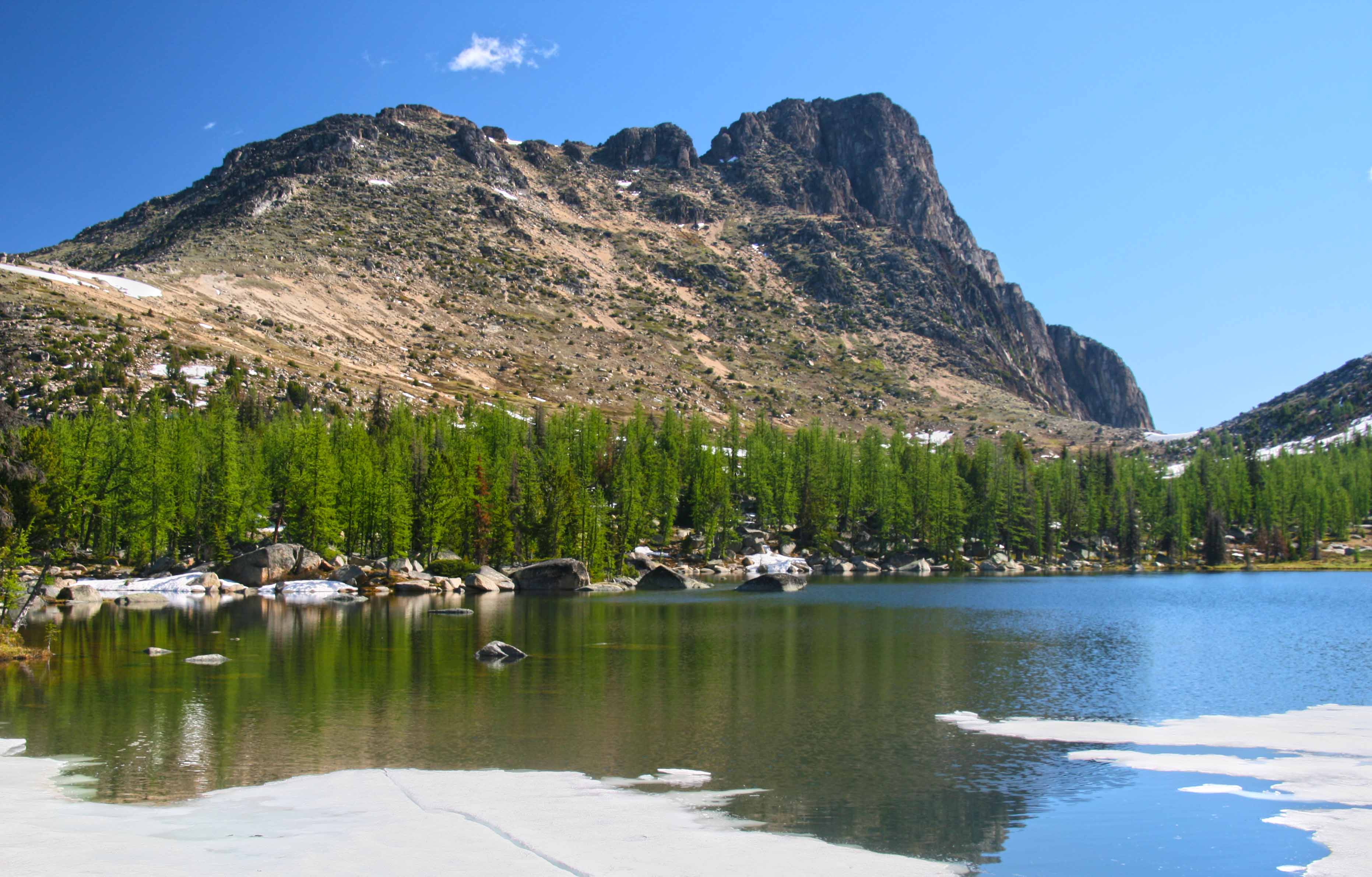
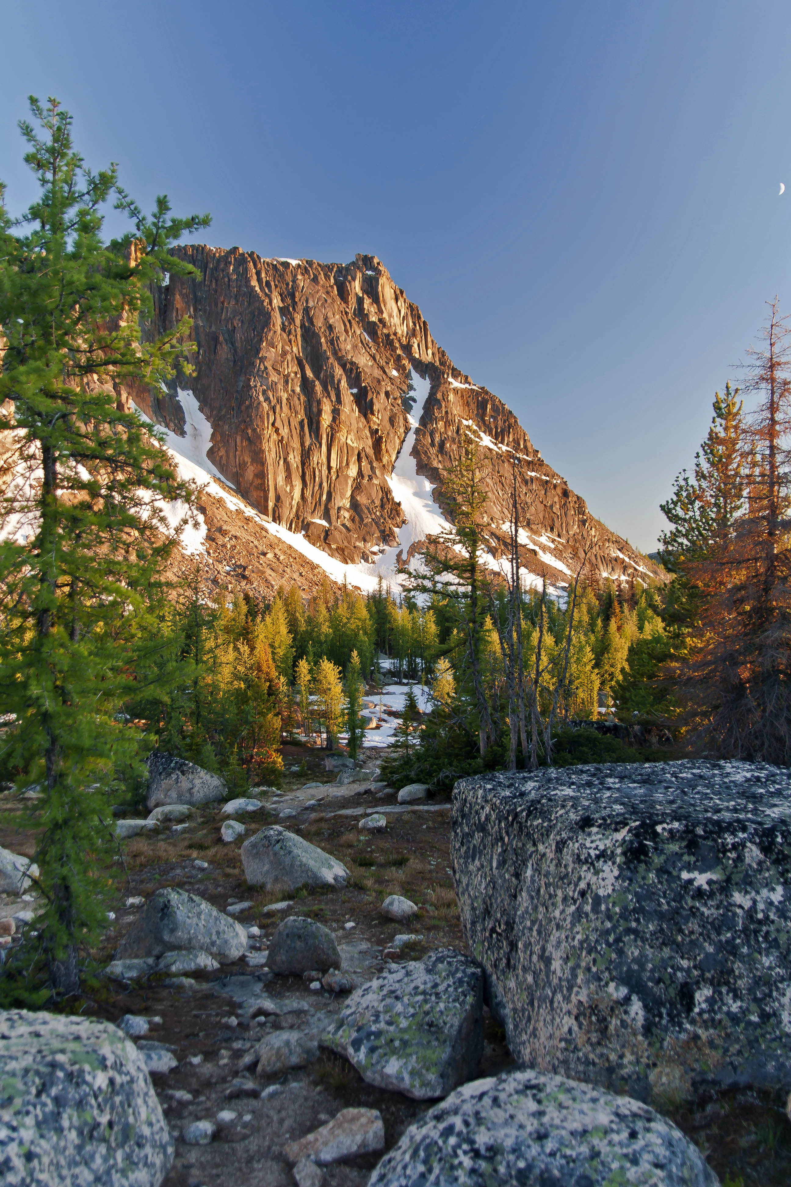
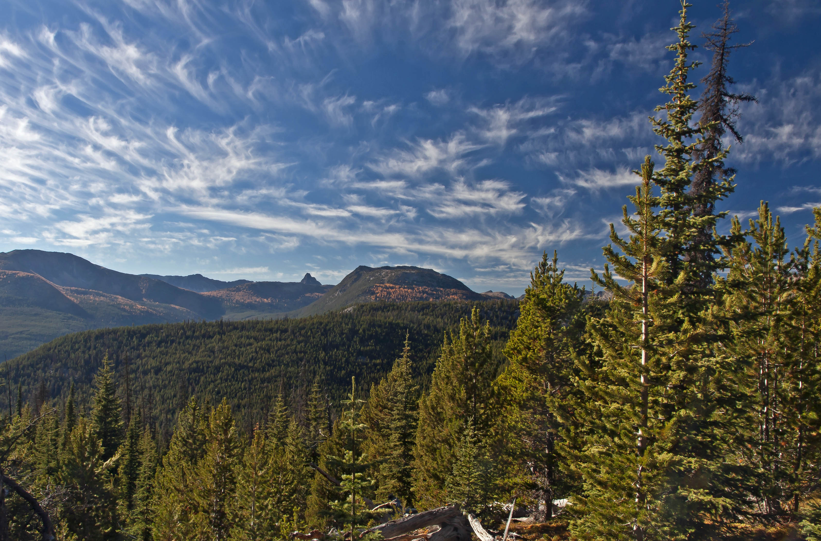
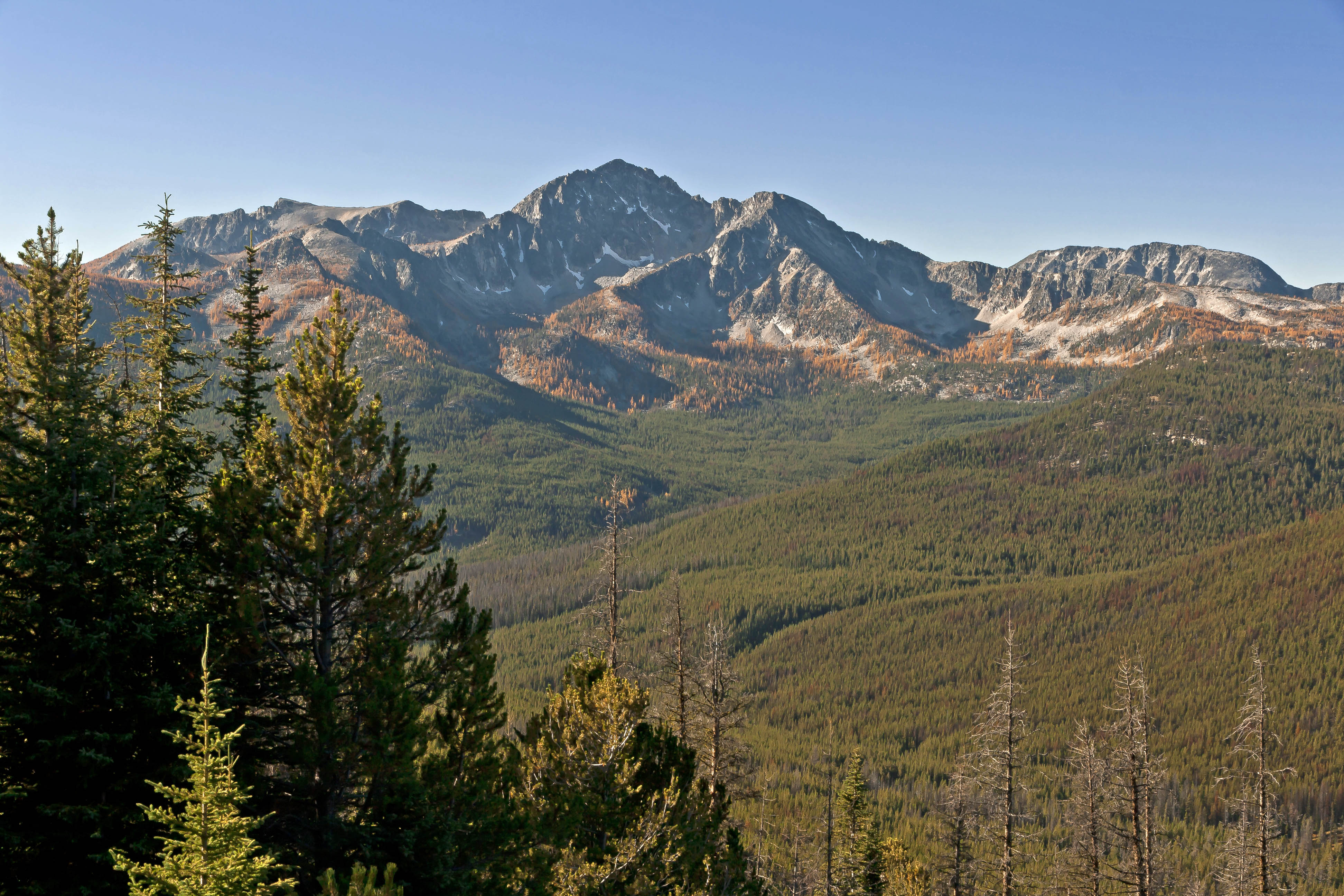
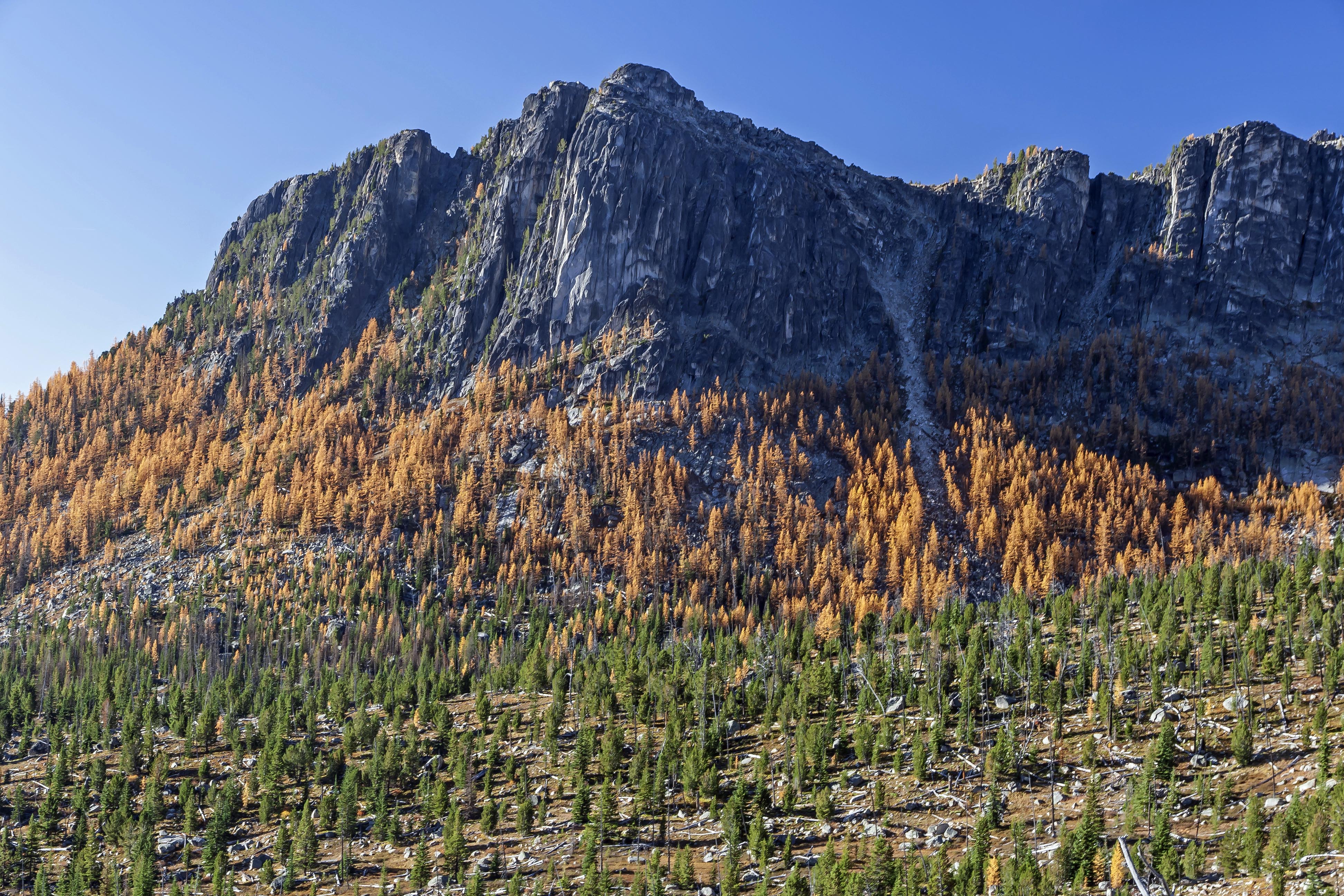
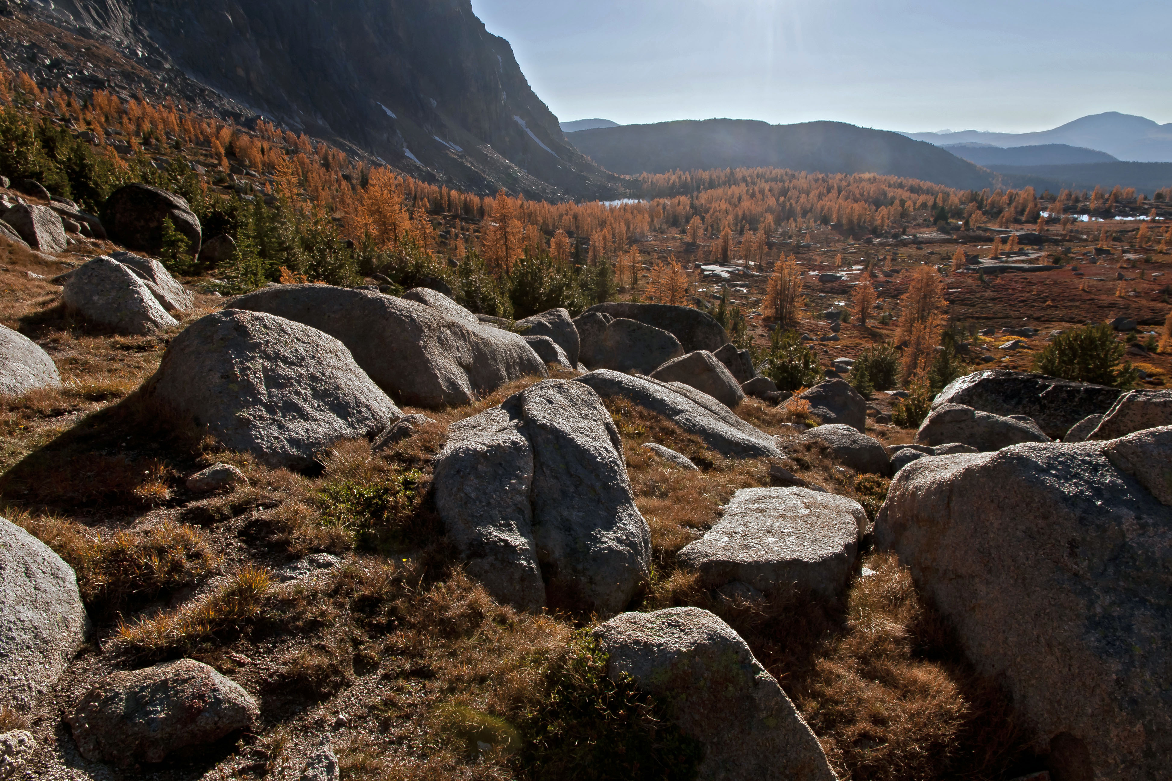
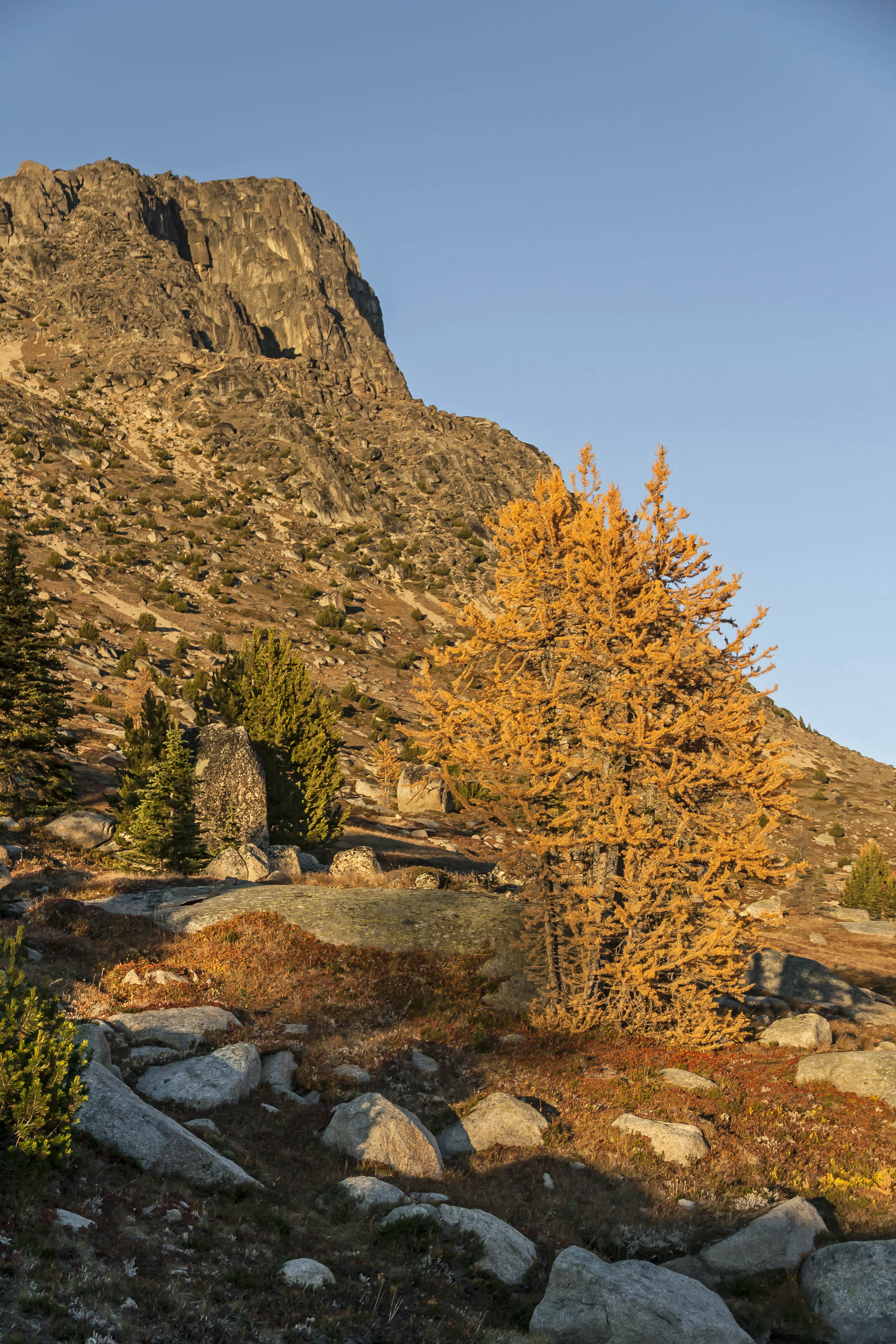
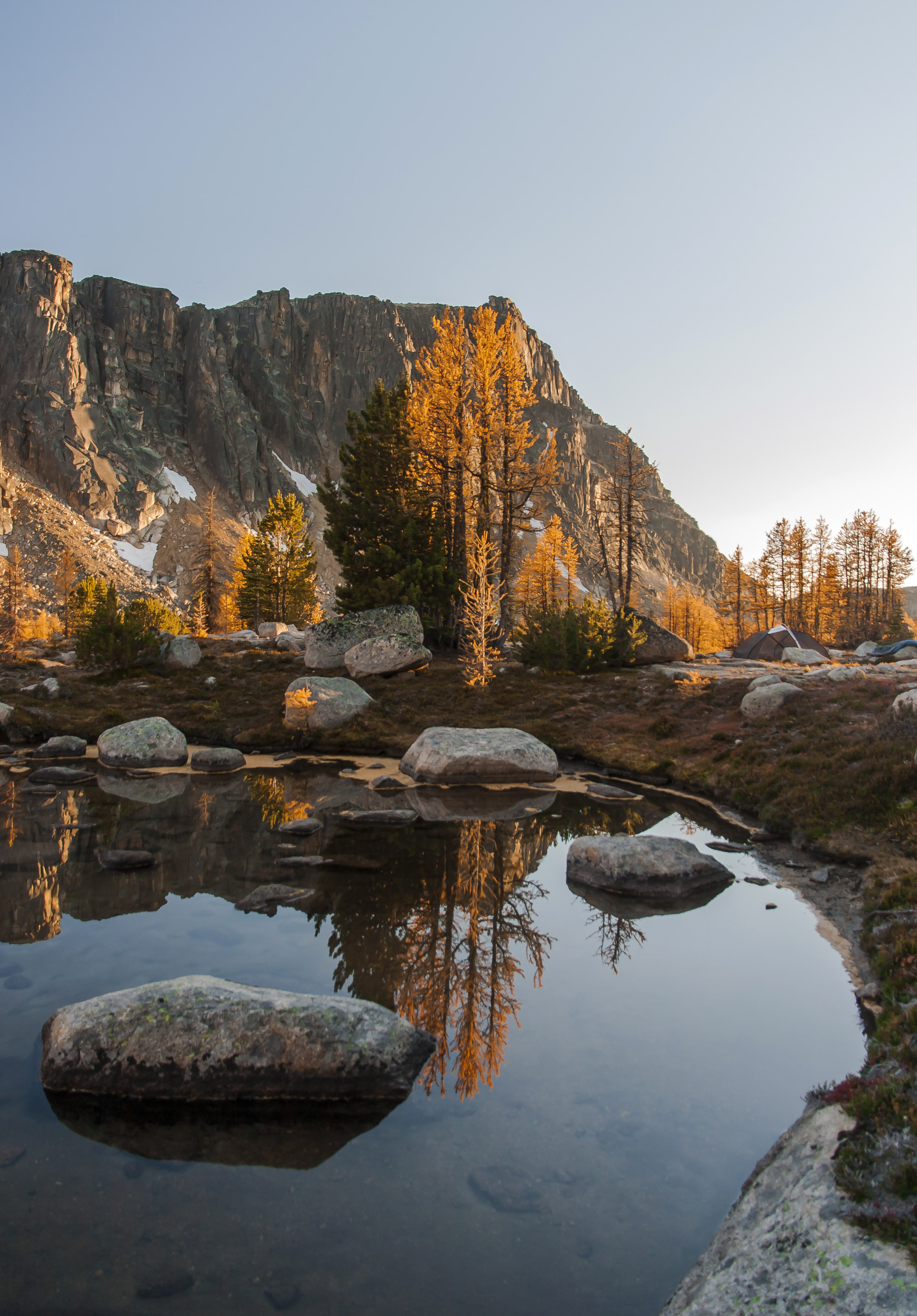
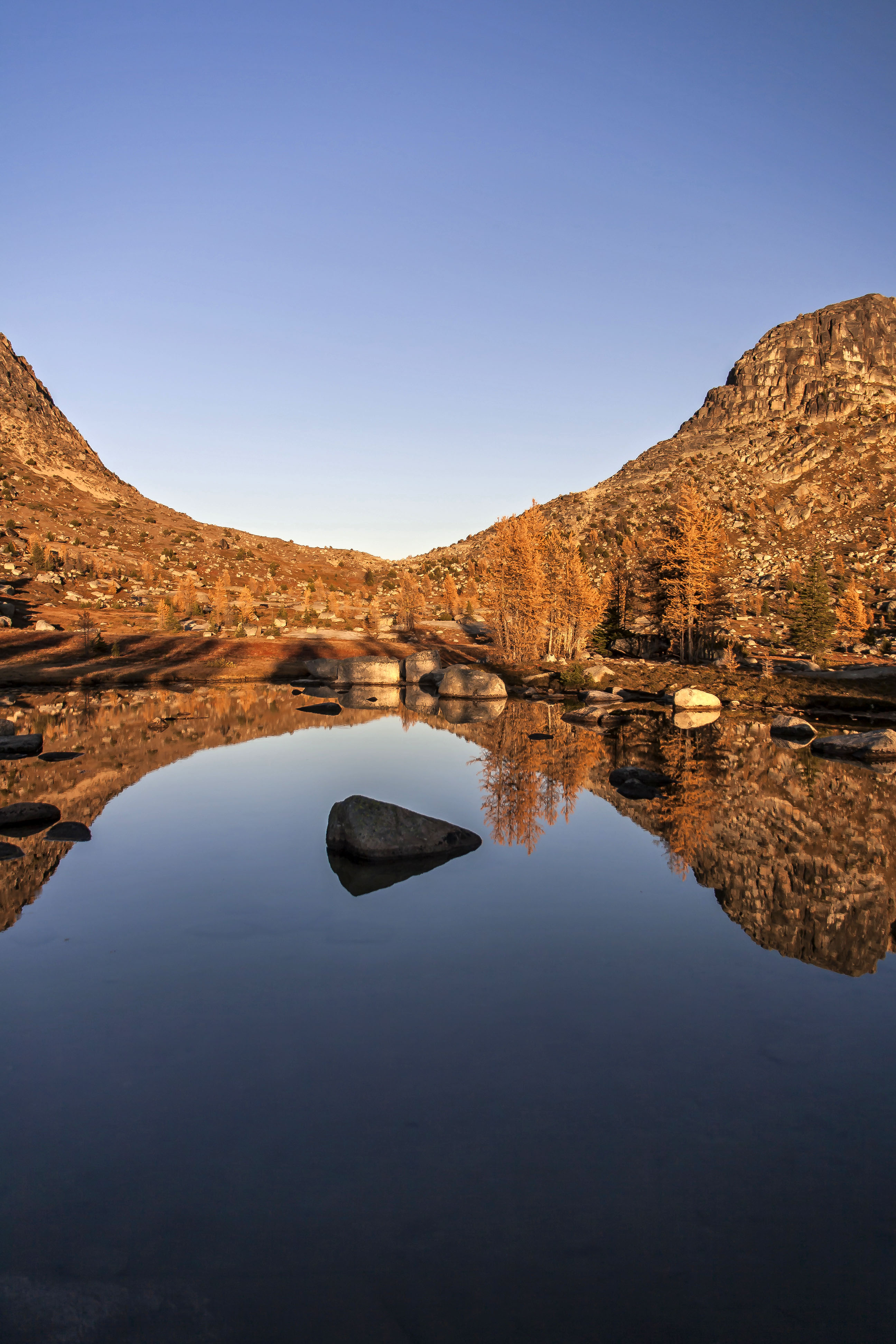
Devils Dome affords a 360 degree view of Jack Mountain, to the south, Hozomeen to the north, The glaciated peaks of North Cascades National Park to the west and a broad expanse of the Pasayten to the east. Devils Dome Sunset 5
Devils Dome Sunset 2
Devils Dome Sunset 10
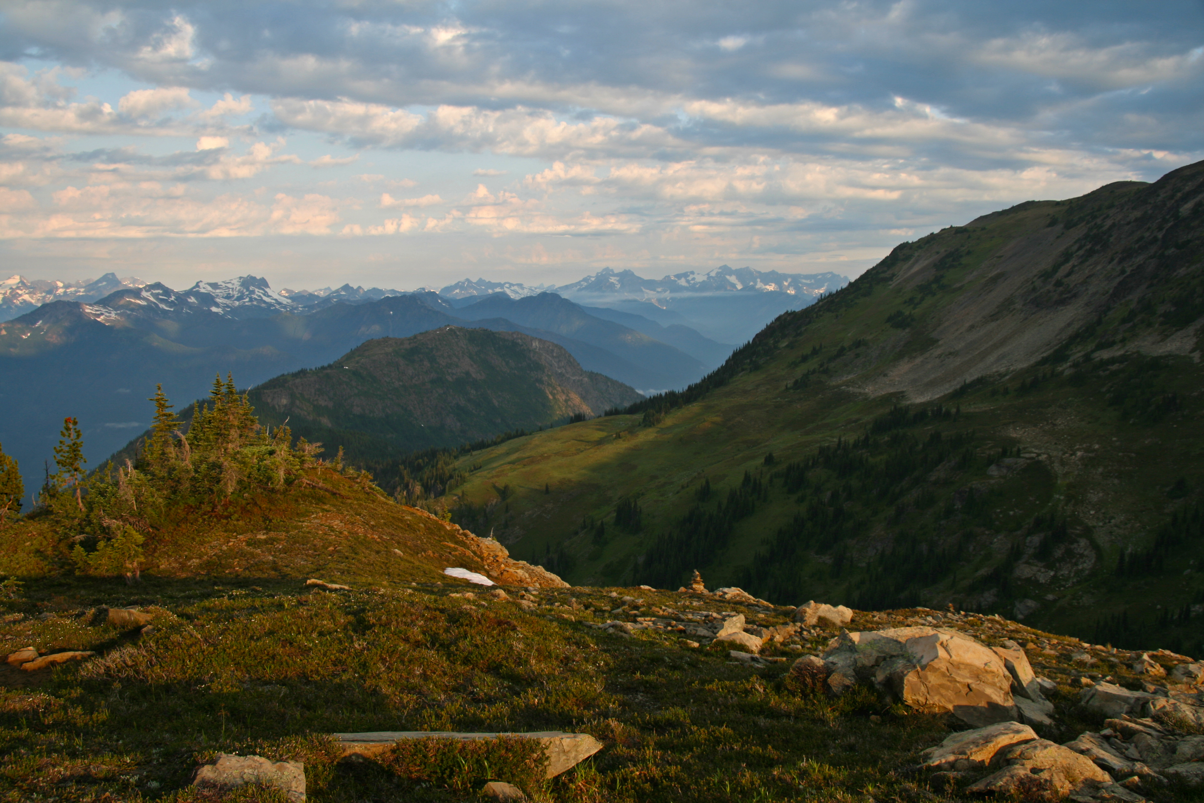
After a wonderful dinner we quickly went to sleep excited about the beauty tomorrow promised.

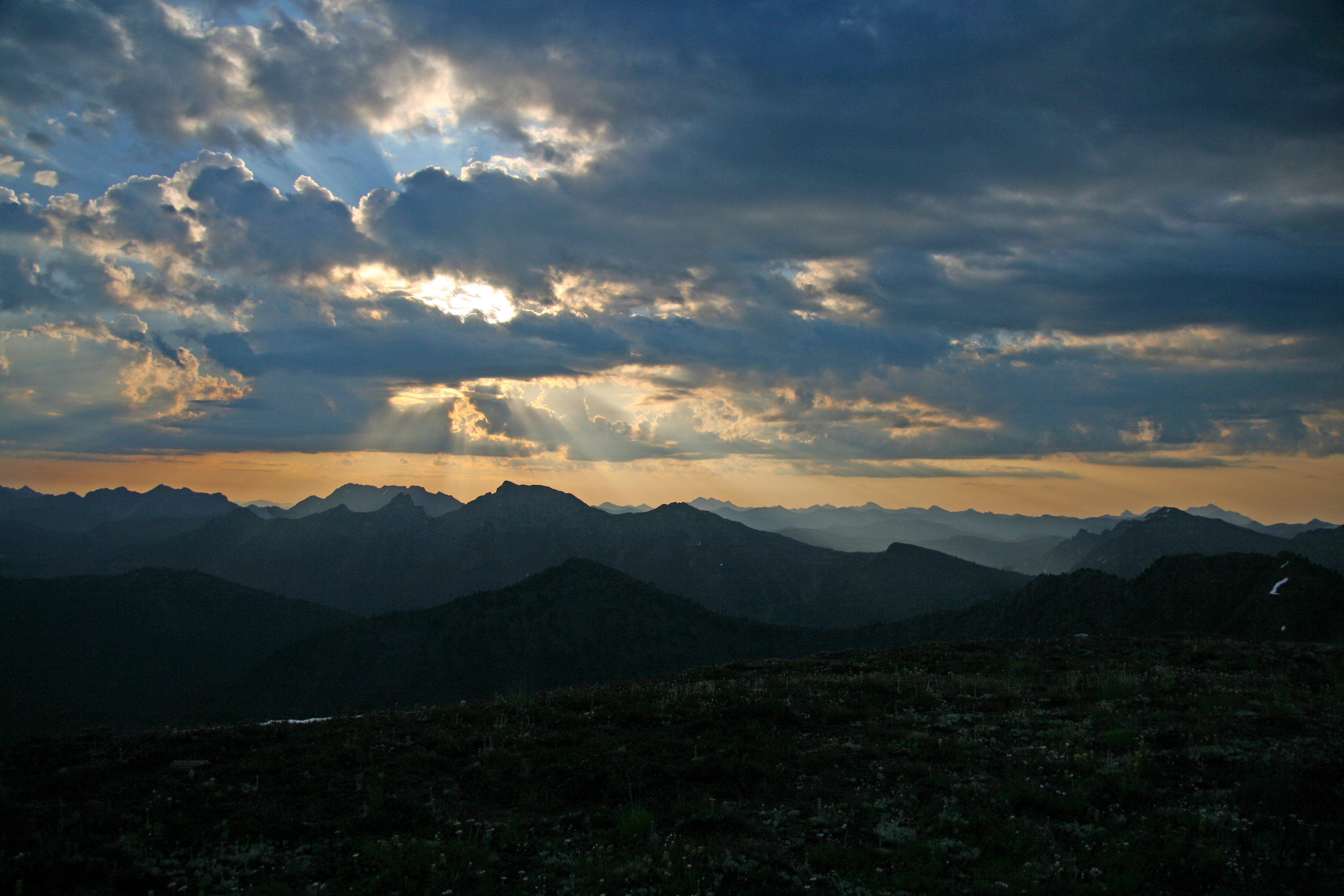
Something woke me up. I lay for a moment with eyes closed, sensing. There was a stillness, which was odd seeing that I was camped on a mountain top, and the smell of rain in the air. Suddenly opening my eyes I saw that the sky was clouded over. I lay for another moment reluctantly picturing myself getting up and putting the rain fly on the tent when I saw the flicker of lightning in the eastern sky. I sat up looking…there was another flash…and another.

Quickly exiting the tent I stood scanning the sky. There was lightning to the east…then to the south, then again, to the west…the dark tumultuous sky was alive with flashes, the peaks briefly illuminated and then again black shapes…I looked on in wonder…and then it stated raining.

I quickly awoke my two companions and let them know that they needed to get up, get dressed and get out of the tent and give me a hand. At first they were both saying, “why don’t you just put on the rain fly and get back in, go back to sleep…” and I replied that if they stayed in the tent that they would miss the lightning show…that provided sufficient motivation and they were soon out of the tent, looking at the skies. The lightning was getting more intense, more frequent…we could see the glow of a fire to the west, over towards Ross Lake and the National Park boundary.

Devils Dome Sunset 6

My plan was simple: get the rain fly on the tent, throw all our stuff in it, don our rain gear and then lie on the grass and watch the show. But my two friends had other ideas. One strongly advised that we immediately depart and head down the mountain to find shelter from the lightning. My other friend insisted on a more simple approach: do nothing and simply enjoy the storm. I started with the rain fly and loading the tent and soon they came to assist me.

Some one came up with the idea of planting our trekking poles in the ground, well away from the tent, to act as lightning rods (!). And so, now somewhat content with our preparations, we all watched.

The rain started to come down now. The wind picked up, strong gusts blowing across the summit. The flashes became more insistent, more frequent. With each flash the ridges between us suddenly appeared out of darkness, and then…gone back to my imagination, leaving lasting imprints of what had just been illuminated. From our vantage point we could see what looked like 6 or so fires burning
Devils Dome Sunset 9
On three sides of us there were regular flashes, every few seconds, another, and then another. The wind and rain continued unabated. In fact they increased along with the regularity of the lightning, each building to a crescendo. The lightning now seemed to take on a reddish hue, then green or blue (was it just my imagination?)

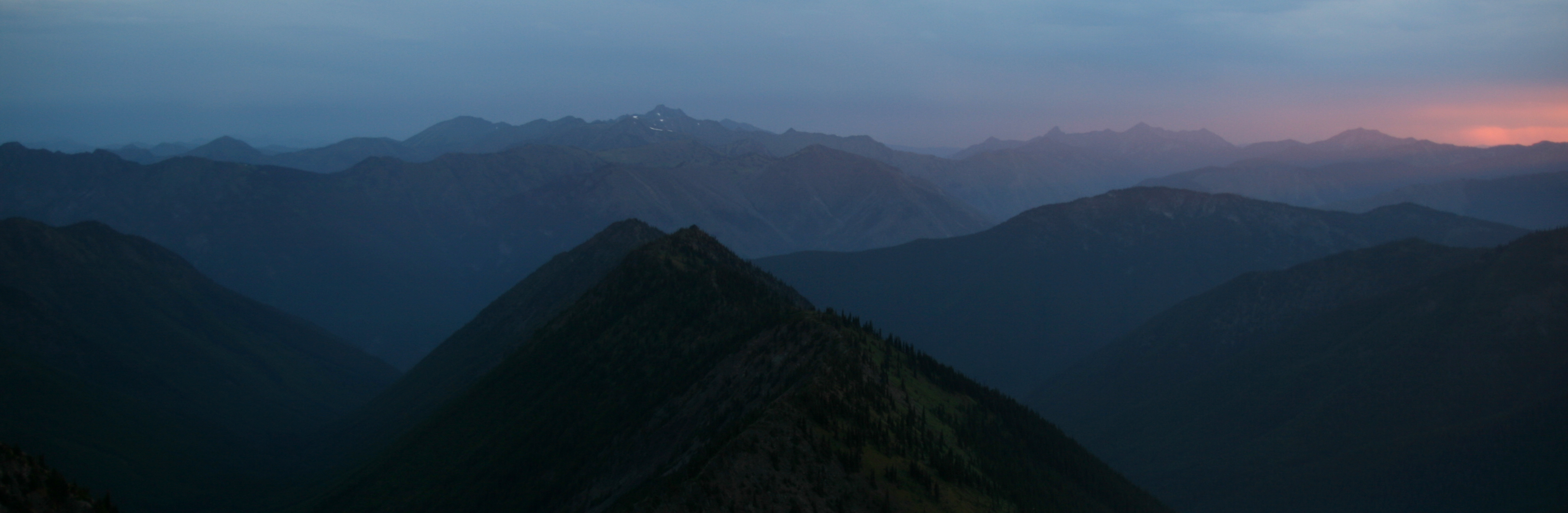
Transfixed by the sheer beauty, we had front row seats for natures own fireworks show, the best we had ever seen. Just as I was starting to edge towards getting the hell out of there the tempest began to lessen, the wind shifted. The lightning to the west, which seemed to head towards us, stopped.
Devils Dome Sunset 4
And that was it! The storm cell had passed us by. The lightning to the east faded out and in its place we could now see the faint hint of the sun.

The date was 08/08/08. This was the opening night of the Olympics in Bejing, and we mused that the fireworks we had just seen surpassed theirs, hands down. It was also the scheduled date for the start up of the Large Hadron Collider and we considered that the lightning storm was a direct result of the resultant black holes now devouring earth. These points we avidly debated, but all agreed that the peak was rightly named: Devils Dome.
Devils Dome Sunset 8
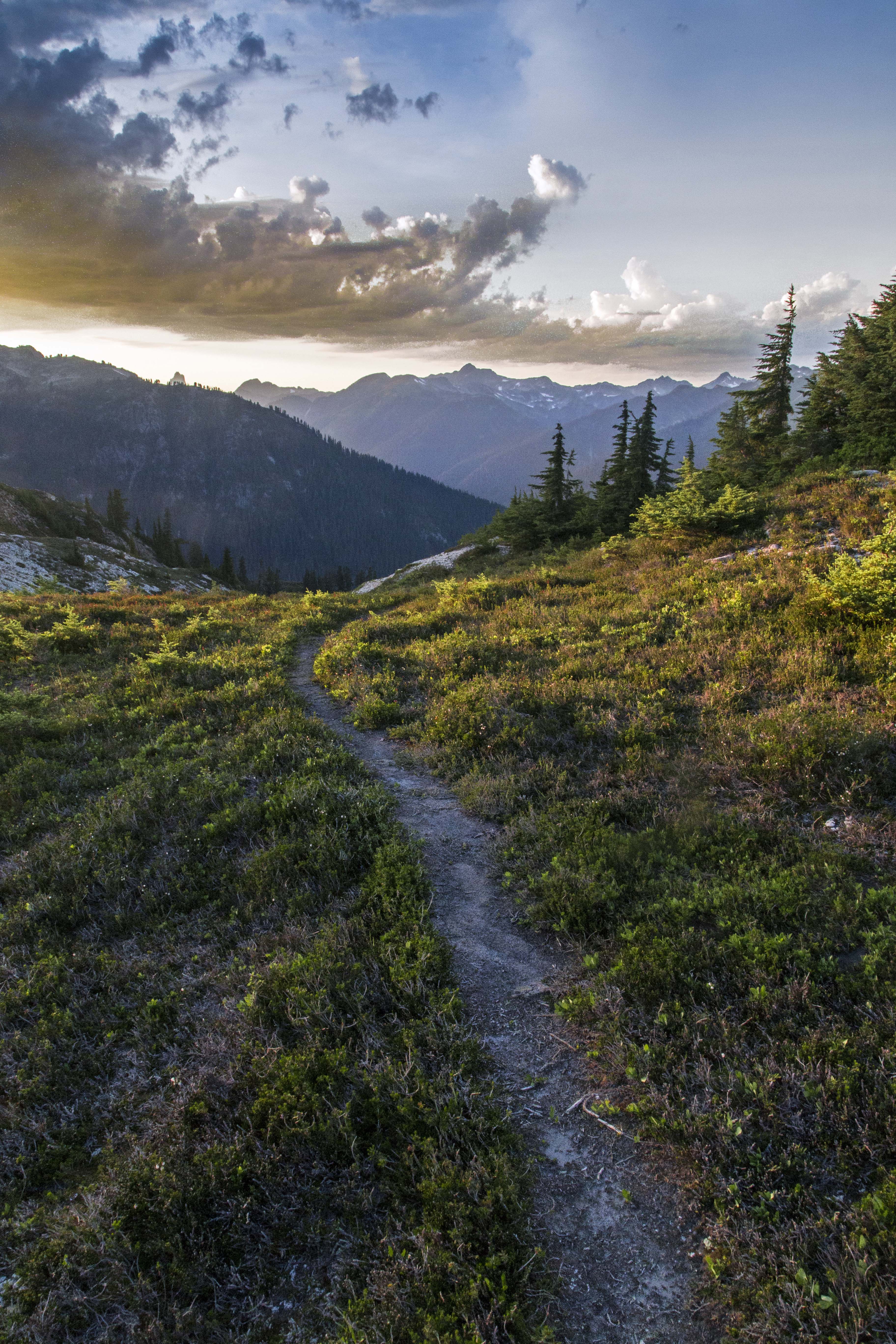
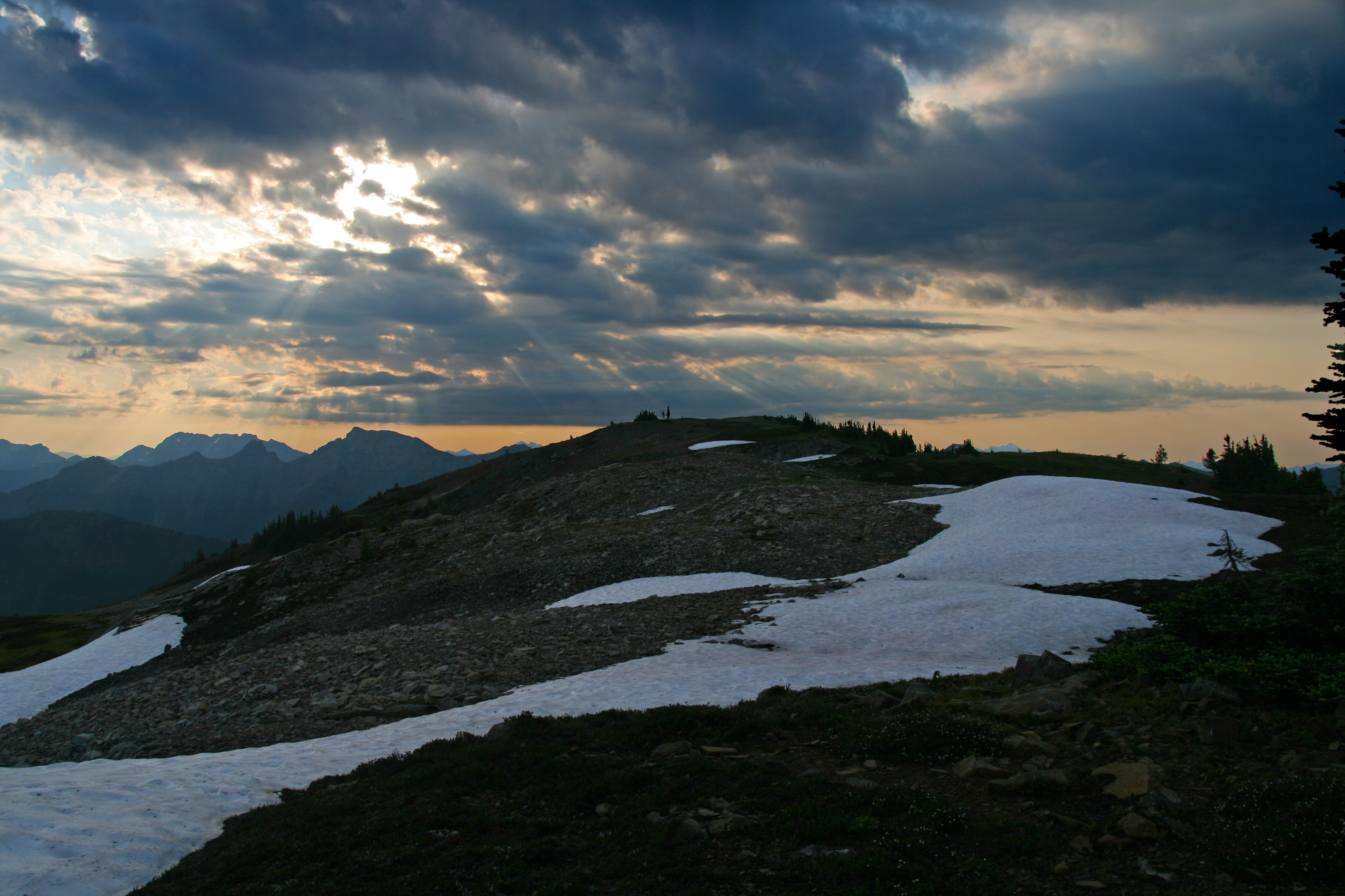
As the excitement died down my friends retired to sleep and I ventured forth to catch some of the morning light.
Devils Dome Sunset 7
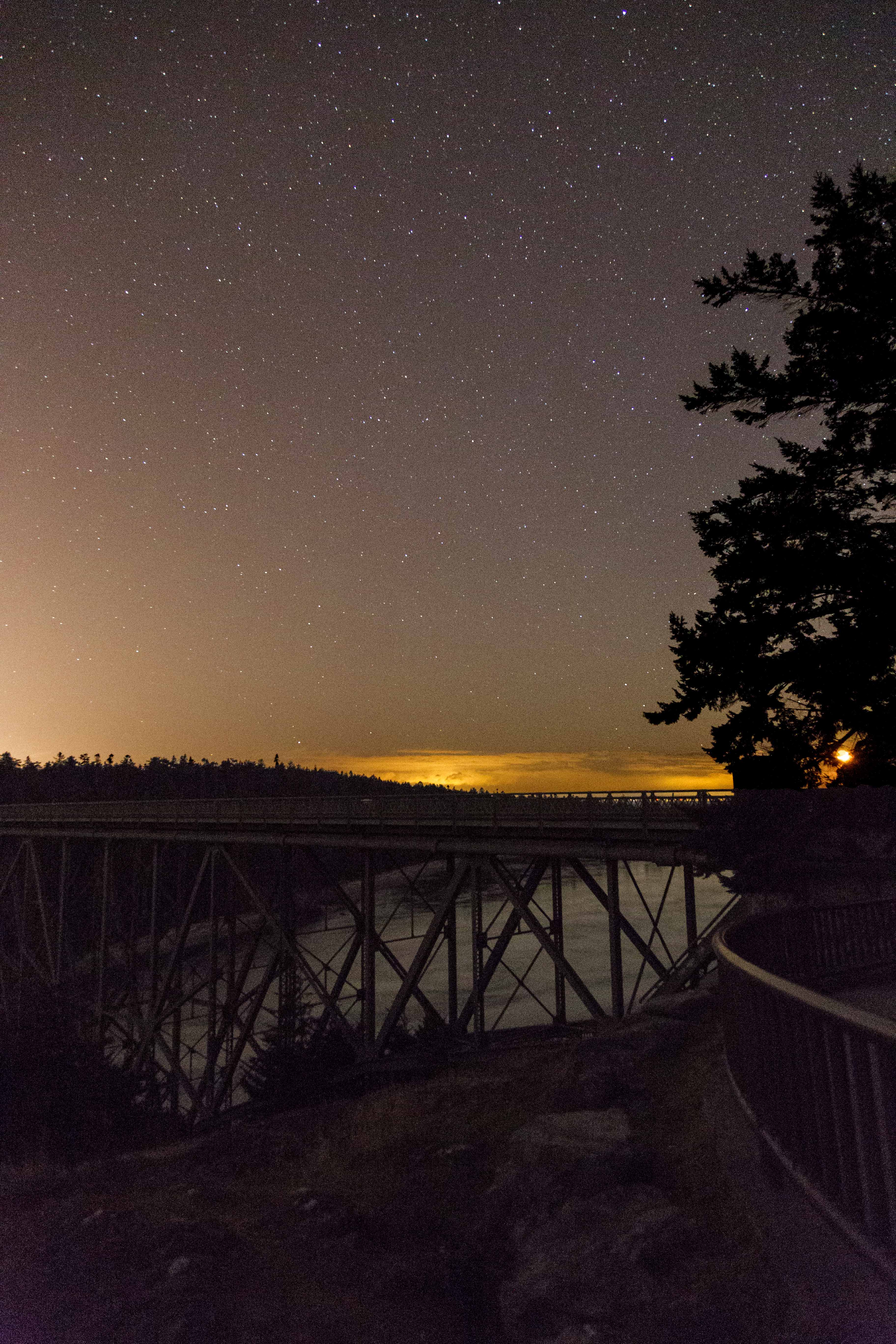
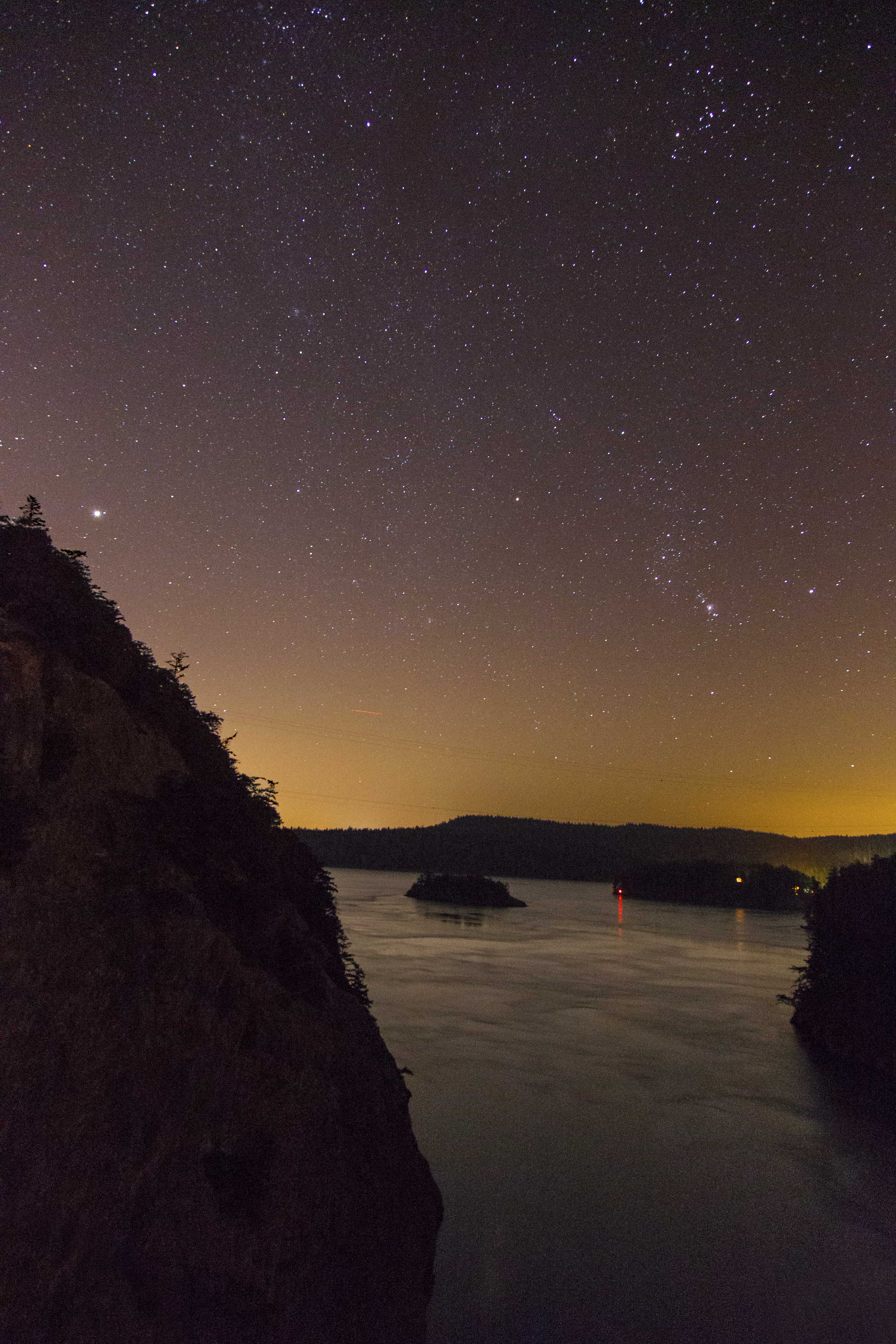
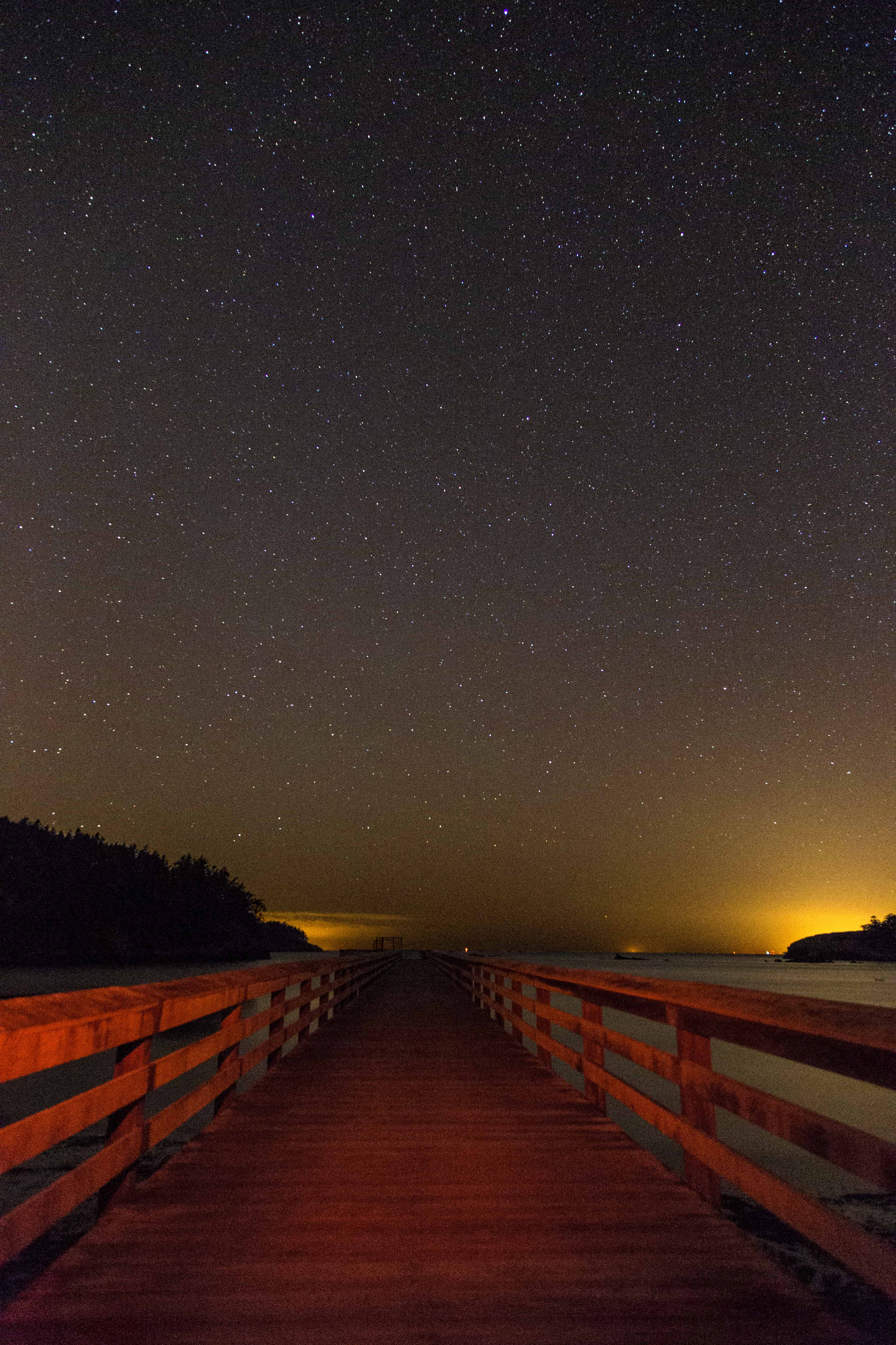
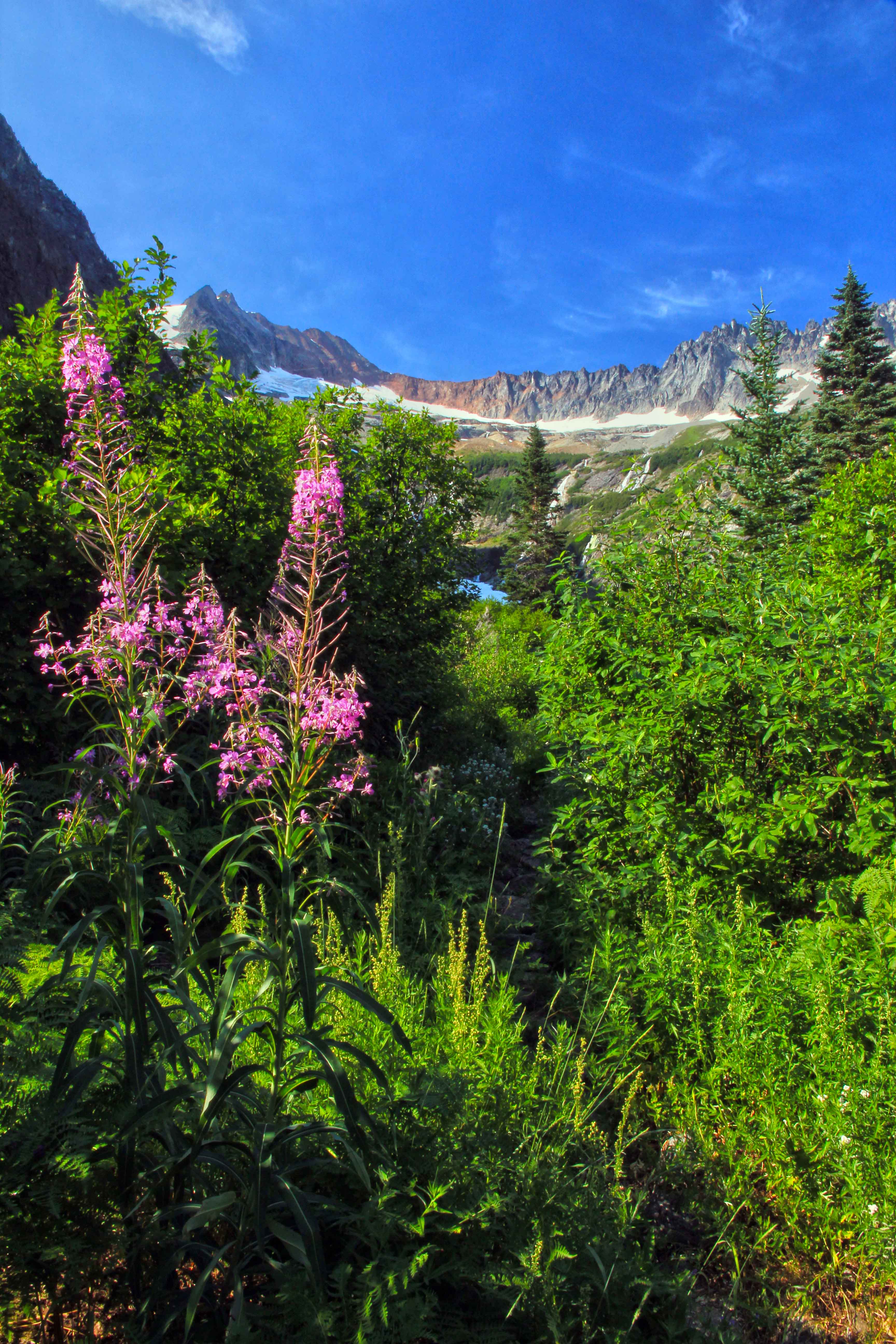
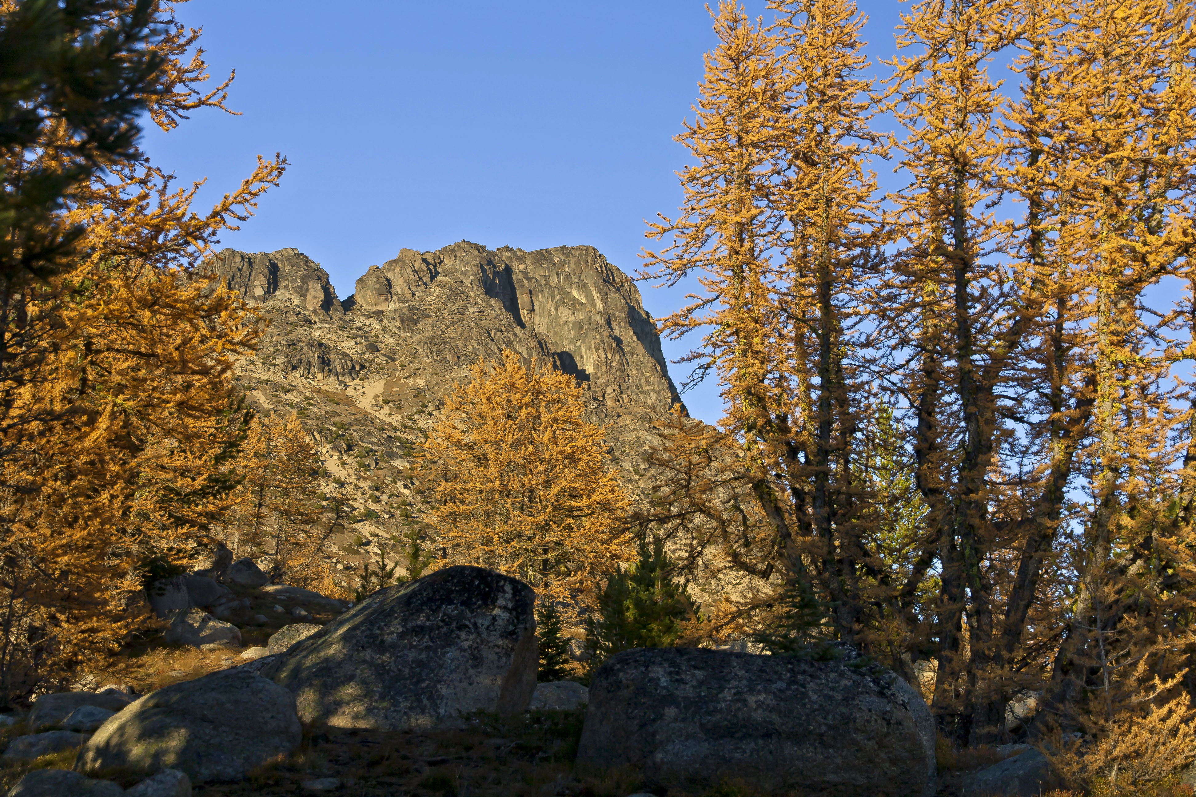
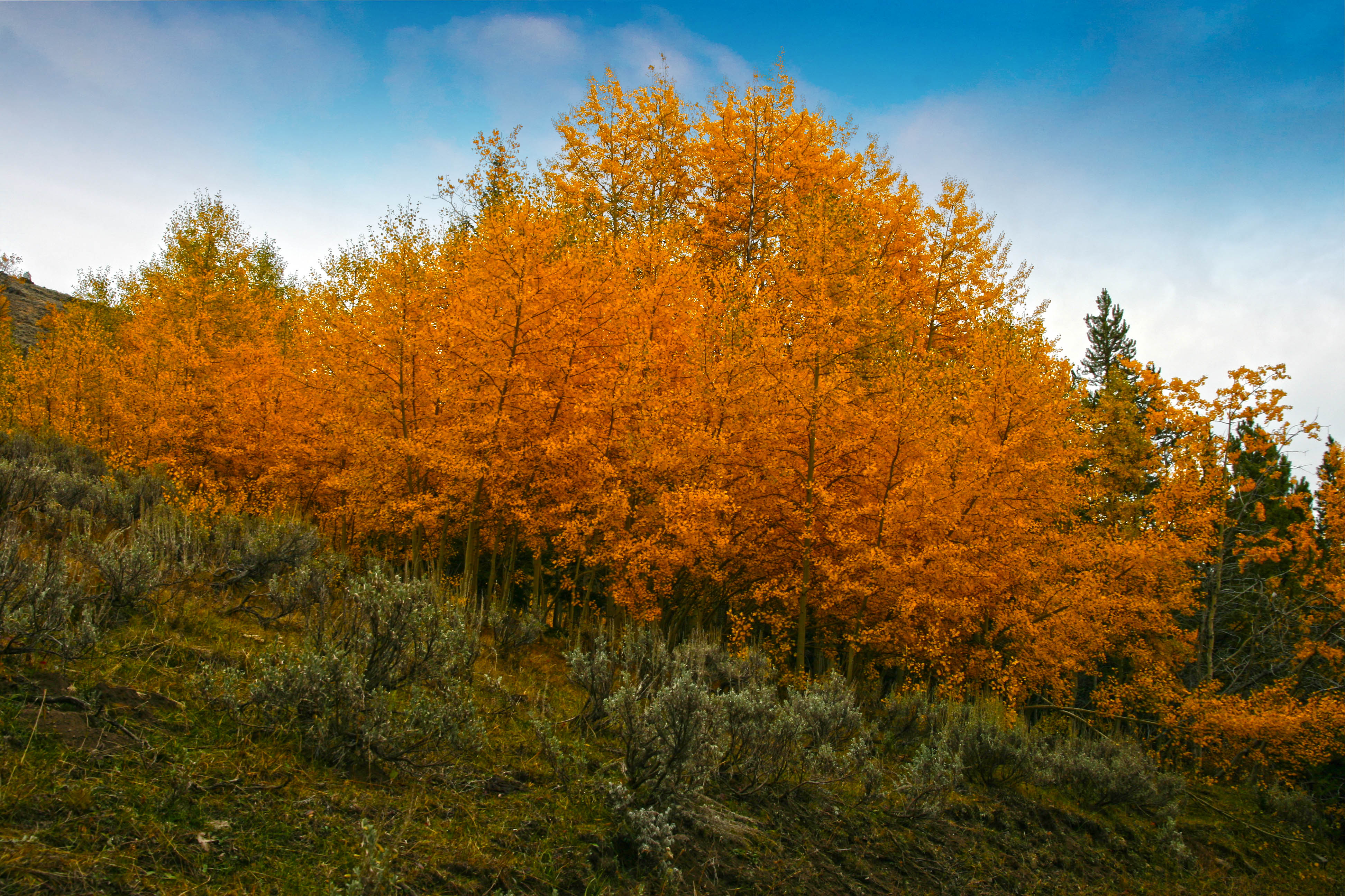
The Pasayten Wilderness is one of my favorite places in Washington, a land of mountains and rivers, steep valleys and meadows, wildflowers and zen like peace. This experience, on day 6 of our twelve day trek which started at the Canyon Creek Trail head on the North Cascades Highway.

Our journey was just getting started…
flowers and clouds 4

Copper Ridge, North Cascades National Park

AndyPorter_CopperRidge_Landscape
Copper Ridge is located in the northern section of the North Cascades National Park, in Washington. To get there from Bellingham you drive east on Highway 542, the Mount Baker Highway, past the town of Glacier and turn left on Forest Road 32, for Hannegan Pass. The road ends at a parking area and here your hike begins. The first 4 miles climb 2,000 ft. up to Hannegan Pass. Along the right are nice views of Nooksack Ridge. CR 7emFrom the pass the trail descends and after 1 mile you reach boundary of North Cascades National Park and the trail junction with the Copper Ridge Trail. CR 6_1em

Any overnight stay in the National Park requires a permit, which you can obtain from the Ranger Station in Glacier. Permits are limited and first come first serve, be sure to get there at the crack of dawn (or even better right when the Ranger Station opens…) to snag a permit. Also, one little known tip is that you can get a permit one day before you start your trip, so if you can arrive and get a permit to camp at Selesia camp the next night then on your first night you can camp at the site just west of Hannegan Pass (which is not in the park, no permit needed).

From the trail junction you head north and up to Copper Ridge. Its another 3 miles until you reach Selesia Camp which is perches out along the ridge commanding fantastic views east towards Whatcom Peak and Mount Challenger Whatcom Peak 1and south towards Mount Shuksan and Mount Baker. CR 9em

No matter which wy you look from here the views are smashing. cr 4em

cr 5em

CR 10em
Continuing the hike north along the ridge (2 miles and 1,000 ft EG) soon brings you to the Copper Ridge Lookout, the highest point along the route commanding a sweeping view in all directions. Copper Ridge Lookout em

CR 4_1The lookout is regularly manned with Park Rangers. Make sure to have your map available to spend time locating peaks all around. Mount Shuksan from Copper Ridge

Arriving at Copper Ridge Lookout North Cascades National Park

After soaking in the sun and views at the look out the trail now traverses over some rocky slopes for another 2 miles as it heads down to Copper Lake. Nestled in a nook along the ridge the lake sports a small island/peninsula offering a wonderful place for a swim. There is an official campground here, the last one before you exit Copper Ridge and plunge down to the Chilliwack. Copper Lake 2

From Copper Lake your ridge hike continues another 5 miles of spectacular views. Waterfalls, meadows and gorgeous vistas abound. CR 2

CR 5

Copper Ridge _Panorama1em At about 11 miles from the start of the Copper Ridge Trail (16 miles from the car) the ridge hike ends and the trail plunges down more than 3,000 feet in less than three miles to the Chilliwack River with its sparkling waters and levitating salmon, but that’s a story for another day! copper ridge Panorama1em

Barn Project

The generally dull, gray and wet winter months do not afford as many colorful photogenic opportunities as the other three seasons prompting me to come up with a new idea of what to capture.

Recently I had posted a few images of old barns and several people commented that they just loved them and wanted to see more and so the Barn Project was born.

A simple search turned up a Skagit County Heritage Barn web site, complete with images, descriptions and directions to each barn.

I am just getting started but here are a few images of Barns of Skagit County!

barn 3em

barn 1em

barn 101 emwater tower embarn 1 embarn 6bempumpkins 7emsunset em

sunset through an open windowsunset 8 em

Sahale Glacier Camp Panoramas

These two shots are from Sahale Glacier Camp in North Cascades National Park. Each image below is composed of 2 shots photomerged in CS 6. I opened the two images to be connected in Camera Raw and synchronized my changes, lightening and darkening the sky and foreground with brushes and then used the automated photomerge option. A first for me and I am pleased with the results!
Sahale Glacier Camp, North Cascades National Park Panorama

Sahale Glacier Camp

Mount Baker

Mount Baker
These images of Mount Baker were captured from the Park Butte Trail, on the south side of the mountain.

Mount Baker
I had stayed overnight at the lookout tower and was on the way down at sunrise.

Mount Baker
The rock formations on the left side of Mount Baker are called the Black Buttes.

Mount Baker
Merry Christmas!

Deception Pass State Park – Nighttime Imaging

Encouraged by last Tuesday’s photo shoot along Baker River I headed out to Deception Pass on Friday night to see about some shots. There was a crescent moon, which was almost set by the time I got out there, maybe 10pm or so. Clear skies, cold, good time for capturing stars.
stars 7 em
I started up on the bridge, got a few shots of the channel with Orion…
stars 3em

Then I jumped the railing, trying to get a better angle with the moon below the bridge. This view afforded silhouettes of the lower bridge structure as well.
stars 2em

stars 6em
There was so much ambient light that it was difficult to capture the real strip of the Milky Way, so I decided to head down to Bowman Bay.

The road to the parking area was closed, so I hiked down and across the spit to see about some long distance view of the bridge, but that didn’t really pan out. However Bowman Bay had some great lighting…
stars 4-1em

stars m-1 em

And the long pier also suggested some interesting shots…
stars 5em
Nighttime photography is really a blast!

As for camera settings:

I used a Canon 6D, with a 24-105 mm lens, tripod and cable release. Aperture at f/4 (wide open), shutter speed at 8 to 13 sec. and ISO at anywhere from 12,000 to 20,000.

Black Warrior Mine, North Cascades National Park

There are many fantastic destinations in North Cascades National Park. Sahale Glacier Camp is truly unforgettable. The Copper Ridge and the Chiliwack River Loop combines fantastic ridge views with deep, dark forests. North Fork Bridge Creek affords endless views of soaring peaks, waterfalls and meadows.

It’s hard to have a favorite, but if you love jagged peaks, lush meadows and exploration, Horseshoe Basin and the Black Warrior Mine can’t be beat.

The first time I visited the Basin was in August of 2012. We hiked over Cascade Pass on a hot day and took the spur trail up the valley towards the basin and the mine.

The basin was aglow in the afternoon light, orange granite spires surrounding the lip like fangs, too-numerous-to-count waterfalls glistening, their sparkling waters plunging down into the valley. There were wildflowers popping out everywhere, yellows and purples, reds and blues, all accenting the deep green of the basin floor.

Horseshoe Basin, North Cascades National Park Horseshoe Basin, North Cascades National Park

The trail follows the stream up into the valley; it follows a course along the stream, across the stream and in the stream, brushy and wet. Shortly the trail emerges into a clearing where boulders dot the basin floor. Climbing up on the largest, the view is transfixing. The green bowl is surrounded with grandeur, full of color and drama.

Horseshoe Basin Wildflowers on the trail

We hurried on, racing the sun, heading up the valley, climbing across boulders and scree, on to a snow field, up to the gaping hole of the Black Warrior Mine.Mine from inside Black Warrior Mine

The North Cascades are full of old mining claims piles of colorful tailings and rusted remains of sluices and Pelton wheels littered about. But I had never visited a mine that I could enter and explore. The Black Warrior Mine operated until the mid-1950’s and is a National Historic place. Sign at Mine Entrance

There is a sign at the entrance giving a brief history of the mine, the names of the prospectors and misled investors who poured their mostly futile efforts into this hole. There are two main cavernous rooms blasted into the mountain side which make the opening of the mine. Wooden supports and floor boards are flooded with water. Old tables and remains of habitation litter the floor. The shaft of the mine runs deep, several miles of tunnel remain; open for any brave person to explore. Em in the Black Warrior Mine Black Warrior Mine: Kitchen

The wonder of the place is still with me. Maybe its the history, all of the people who worked so long and hard here, digging and scraping for naught. Here, as in many of the North Cascade valleys, it was miners who blazed the trails that we now use to visit the high country. The road from Stehekin, long ago, came all the way to the mine entrance. Over time nature has reclaimed the road, now vehicles can only go as far as High Bridge, 17 miles downstream.Mine, inside Black Warrior Mine Remains

The falling sun chased us out of the valley, we camped at Basin Creek camp that night and then next day headed down the valley, east, towards Cotton Wood Camp.Horseshoe basin down the valley View from Mine Entrance, looking down the valley

The next few days found us in Stehekin eating fresh pastry…

2 days and lots of espresso/tasty treats later we headed back up through Cottonwood and the upper valley on a bright summers day, with a welcome breeze we crossed Basin Creek again and started up towards the pass.
Basin Creek 2 Basin Creek

It was early in the morning when we came back to the trail junction with the Horseshoe Basin trail. I wanted to have another view, this time with different light. So we stopped and were having a snack before heading up the valley when we had a visitor.

The main trail coming down from Cascade Pass makes a long traverse of the mountainside, descending towards the valley floor. At the elbow of a switchback the spur trail heads up the Basin Creek draw to Horseshoe Basin. We were sitting at the junction, relaxing, when I saw a black bear heading down the trail towards us. My camera was nearby and I ran for it, got the settings adjusted and started shooting. As the bear approached she spied us and slowed her pace. My pulse was pumping with excitement as she got closer and the images clearer. I was viewing the entire scene from my view finder and suddenly had the realization that the bear was getting pretty close!

Bear at Horseshoe Basin Bear at Horseshoe Basin

I lowered the camera and considered what to do. The bear was now at the trail junction, about 15 feet from me, she paused, considering her options. My friend and I both realized that she wanted to pass up the spur, trail to the basin, right past us!
Bear at Horseshoe Basin 1

We sort of backed up, along the hillside, and spoke soft words to the bear. She gave us a look of resignation, then headed further down the main trail, cutting across the hillside, just below our spot, traversing below us for about 50 feet, then popped back up through the brush and back onto the spur trail. She gave us a last look, and continued her way on the trail up to, we assumed, good foraging grounds in Horseshoe Basin.
Exulting in our good fortune, excited and energized, we finished our snack and followed her up the valley to the basin.
AndyPorter_HorseshoeBasin_Landscape

Sunrise along Edison Slough

Edison is a small town in NW Washington, not far from Puget Sound. Located in Skagit County, Edison is just north of the town, Bow, along Chuckanut Drive. Heading west, passing through town the Bayview-Edison Road zig-zags and soon comes to a cause-way type bridge over the slough.

Here is a series of images from sunrise, 11/23/2013 from both sides of the bridge. barn 1em Here is a barn along the way, on Farm To Market Road…

These next 4 images are from just before the sun crested the horizon…

boat 6_1em

boat 7em

boat 8em

Once the morning sun’s rays arrived the scene changed, adding an entirely different light…
boat 1em

boat 4em

boat 14m

boat 15em

Walking back and forth along the top of the bridge there is a lot to capture!
boat 5em

boat 17em

These next two images are of the same boat, from opposite sides.
boat 9em

boat 11em

Crossing the road and looking south west here is the view of water.
boat 18em

Pasayten Wilderness, Summer and Fall

I had the good fortune to make it to the Upper Cathedral Lakes Basin twice in one year! The views of Cathedral Peak and Amphitheater Mountain are stunning. When I visited in summer I noted the abundance of larch and so returned in fall to see the color explosion. Here are some images showcasing the changes between July 14th and October 2nd.

Amphitheater Mountain Reflected Cathedral Peak, Pasayten Wilderness 3em

Boundary Trail larch 7 em

Cathedral Peak from Upper Cathedral Lake, July 2010em

Boundary Trail larch 28 m1

Amphitheater Mountain Cathedral Peak, Pasayten Wilderness 7em

Boundary Trail larch 11 em

Amphitheater Mountain Cathedral Peak, Pasayten Wilderness 6em

Boundary Trail larch 22 em

These last two images were both taken while on the October trip, the first on the way in and the second, from the same spot, on the way home!

Iron Gate road trees em

iron gate Road em

Fall Colors, Larches, Cathedral Peak and Amphitheater Mountain

The rain has set in and the days are short. Avoiding boredom necessitates a little creativity, which for me includes revisiting past hikes, editing images and trying to fashion a reasonable representation of a place.

The approach is from Tonasket, west to Loomis and then up the Toats Coulee Road to the Iron Gate Trail head.

The sky was blue and trees bright.
Iron Gate road trees em Iron Gate Trail Head Trees

The trip along the Boundary Trail (Doubling as the Pacific Northwest Trail) offer long vistas, green forests and in early October, brilliant orange larch.
Boundary Trail larch 1 em Boundary Trail

windy peak sky Windy Peak

The trail is a lot of fun, the old Tungsten Mine is an interesting place to explore, and Apex Pass provides sweeping views of Remmel Mountain and the east side the of Amphitheater Mountain.
Boundary Trail larch 3 em Remmel Mountain
The larch inhabit a band between 6,000 and 7,000 feet of elevation.
Boundary Trail larch 6 em Amphitheater Mountain

Arriving at Cathedral Pass its a short stroll down to water and reflective views!
Boundary Trail larch 302 em Cathedral Pass
Not a bad place to camp!
Boundary Trail larch 8 em Cathedral Peak

Boundary Trail larch 12 em Amphitheater Mountain, Reflected in a snow-melt pond

Heading down a little ways to Upper Cathedral Lake just before sunset provides all you need for a true orgy of picture taking!
Boundary Trail larch 28 m1

Boundary Trail larch 29 m1

Boundary Trail larch 303 em

Back up at the camp site the setting sun made the trees look even more afire!
Boundary Trail larch 7 em

Boundary Trail larch 11 em

Boundary Trail larch 13 em

The sensory overload was fun! Boundary Trail larch 5 em

Boundary Trail larch 18 em

The hike back provided more changes in colors…
IMG_0242hdr 1em

The trees along the road had a decidedly different look after only 4 days…
iron gate Road em