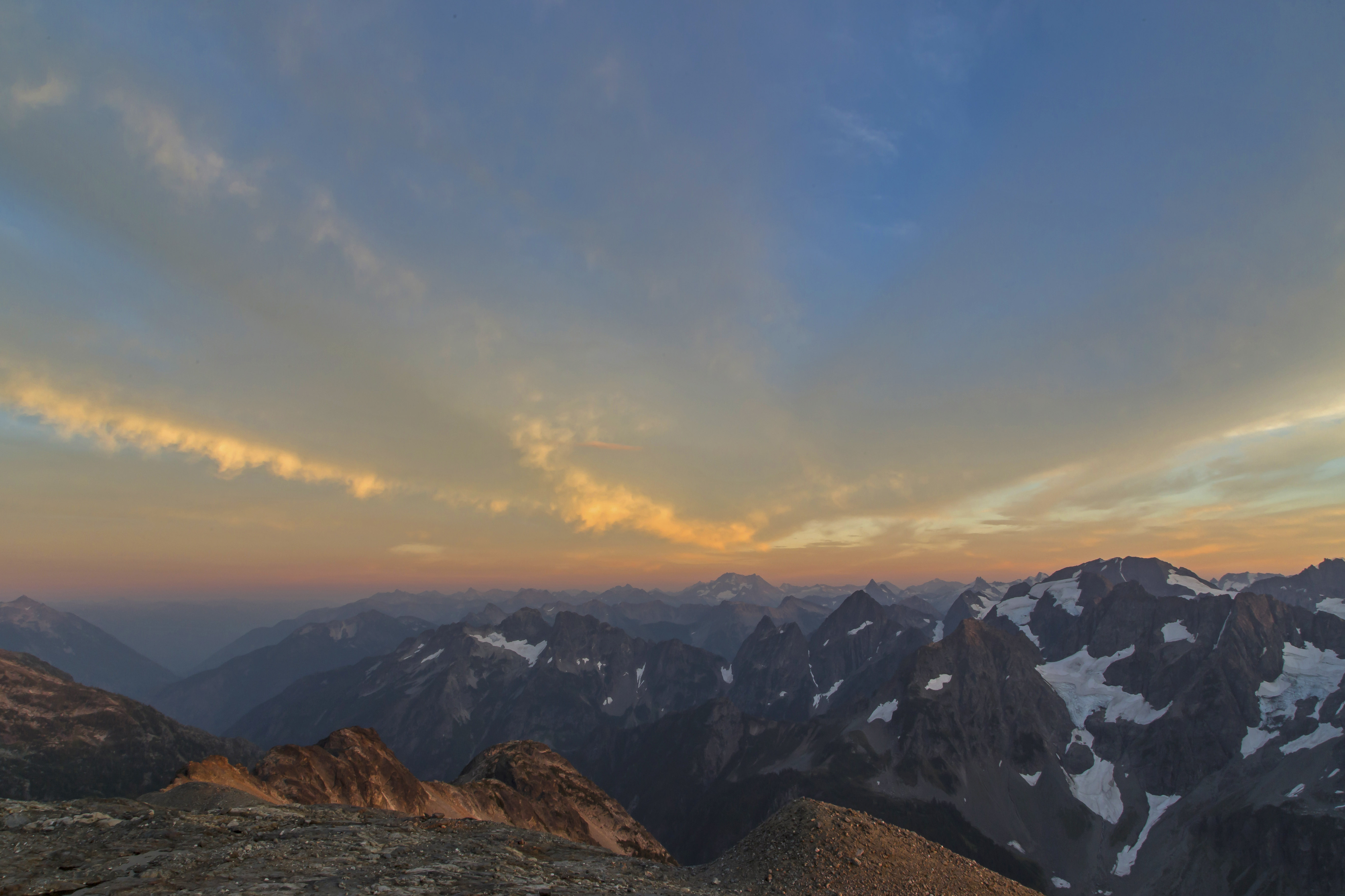
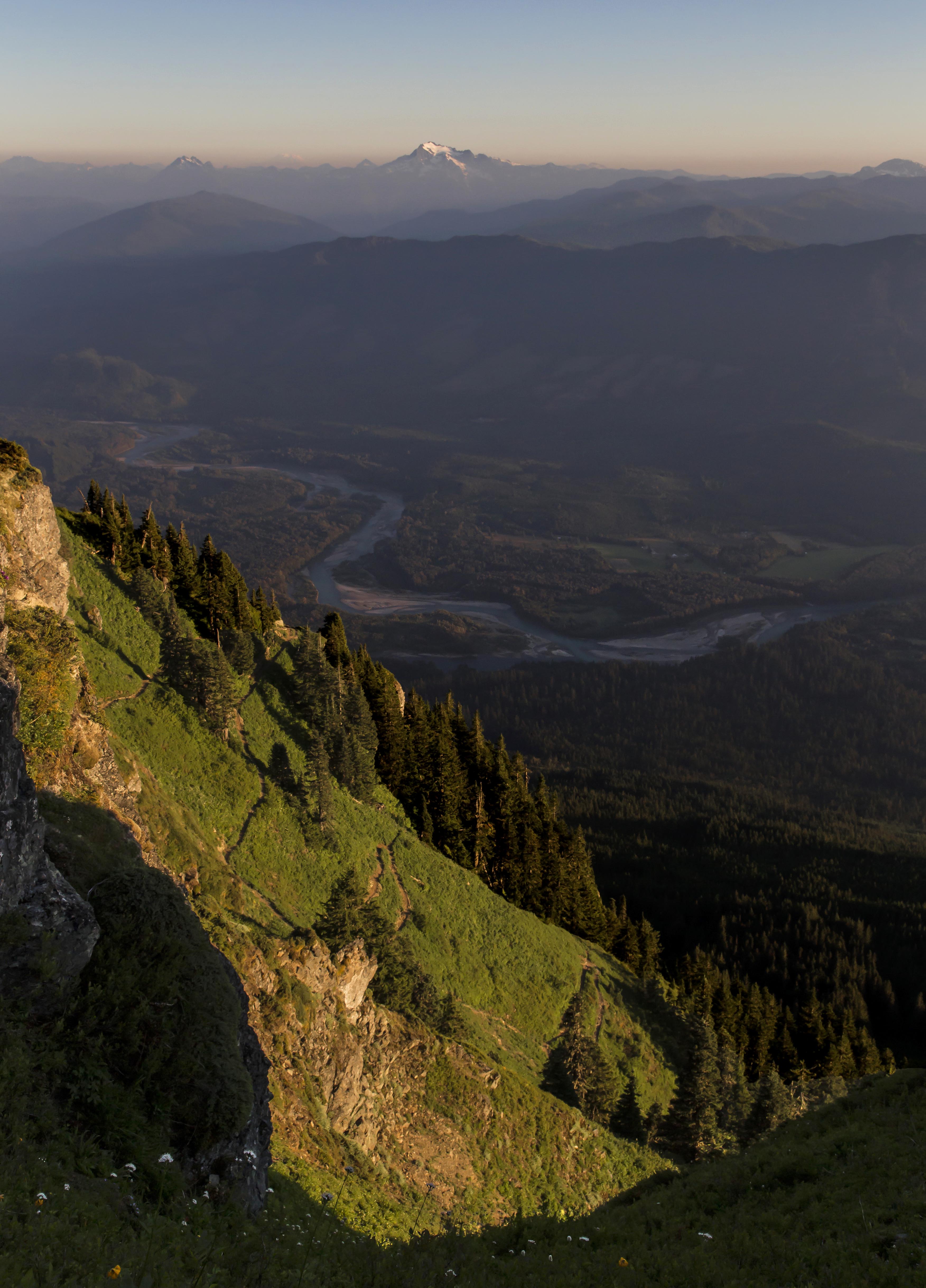
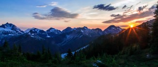
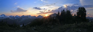
 Sunset from Copper Ridge
The trek started at the Hannegan Pass trail head. We arrived Friday morning to a full parking lot and sunny skies ready to tackle a hard 5-day loop through the North Cascades. Weather reports for the area called for dicey weather, partly sunny/cloudy with a high percentage of thundershowers. But like most fools I told myself that this forecast did not by some magical, mystical way, apply to me.
Actually the story started 7 years ago when I hiked the Copper Ridge trail forded the Chilliwack River and made acquaintance with a bunch of spawning salmon. The image of all those bright red salmon in the pristine waters, deep in the wilderness just pulled me back, that and the lure of making it to Tapto Lakes, above Whatcom Pass.
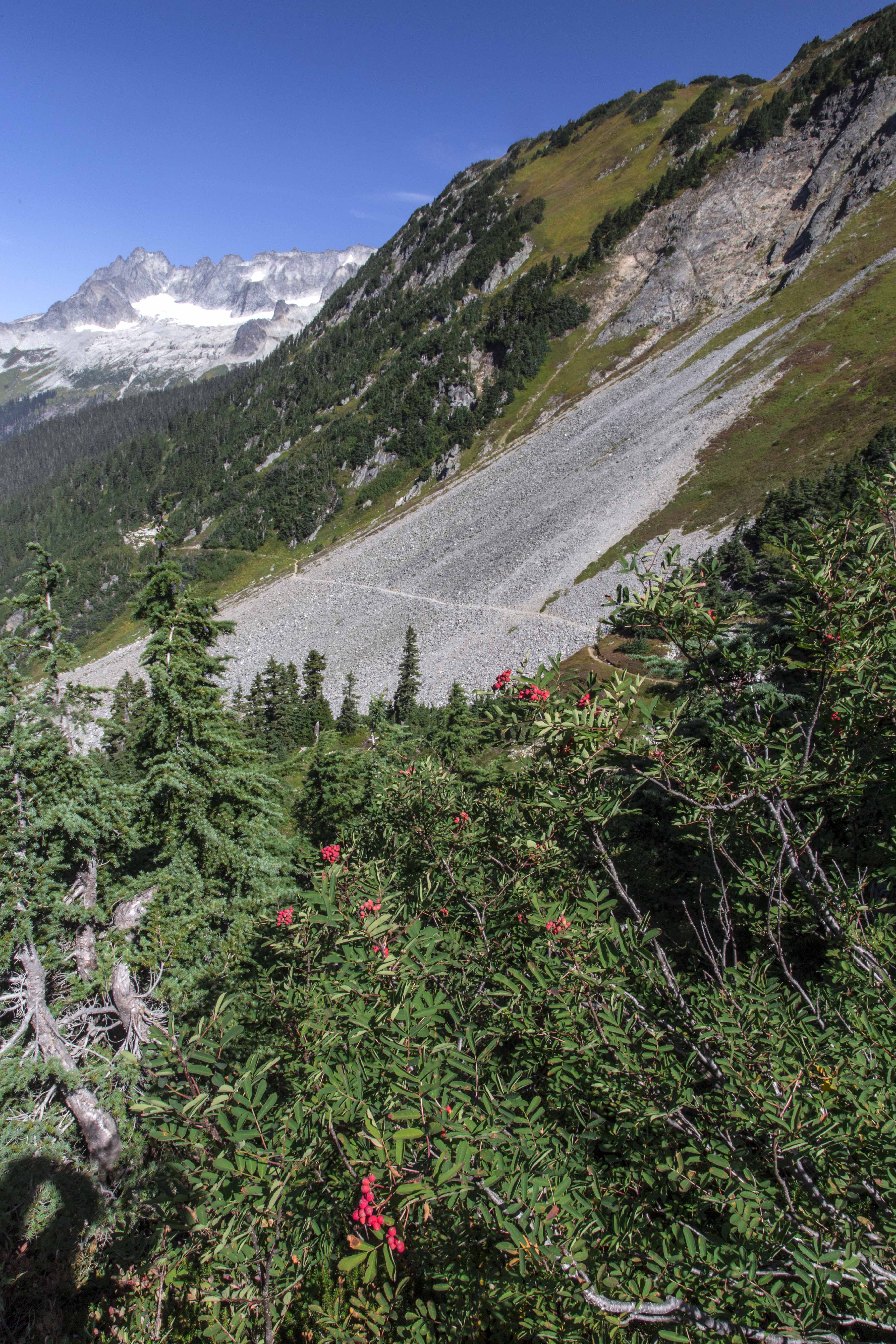
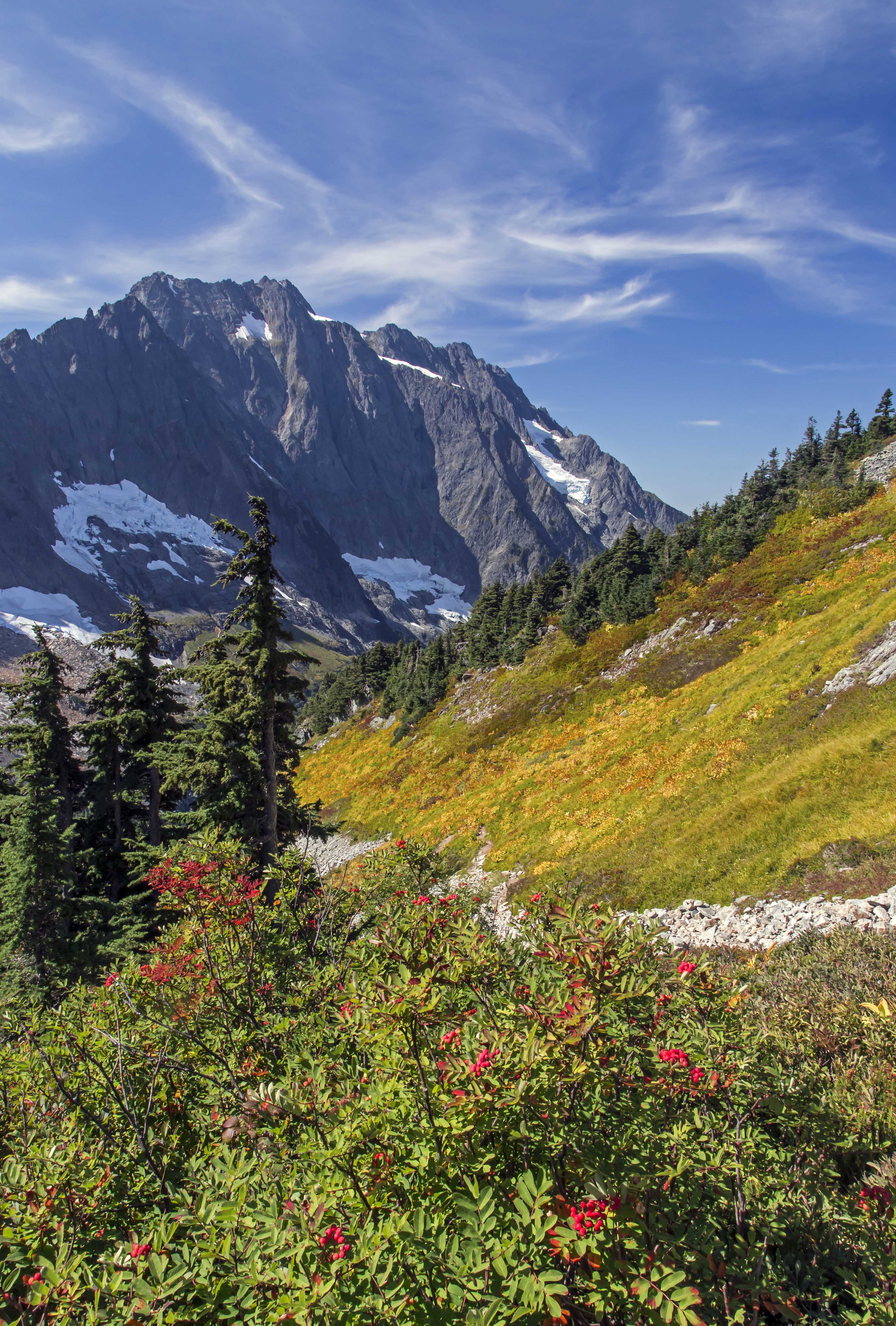
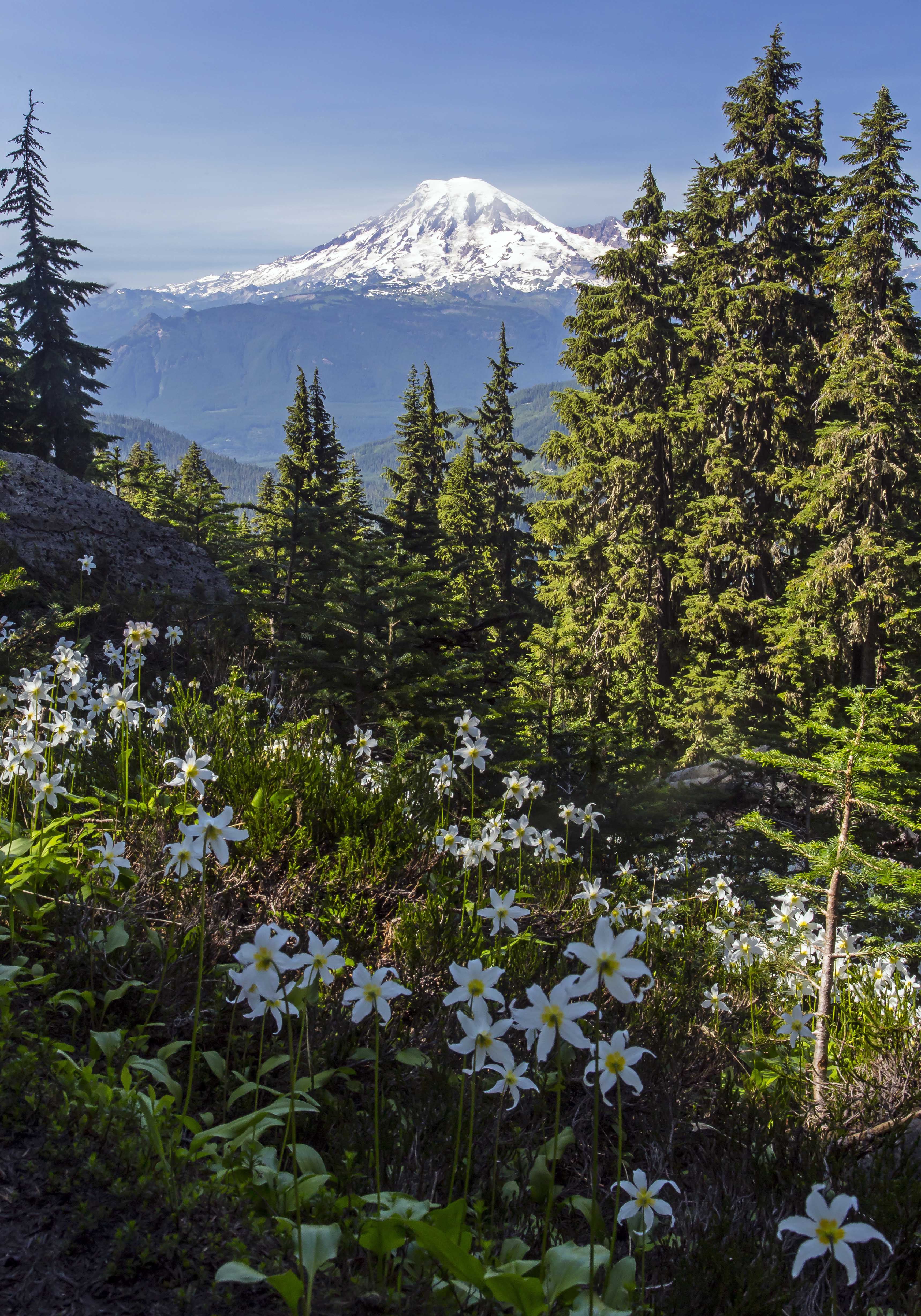
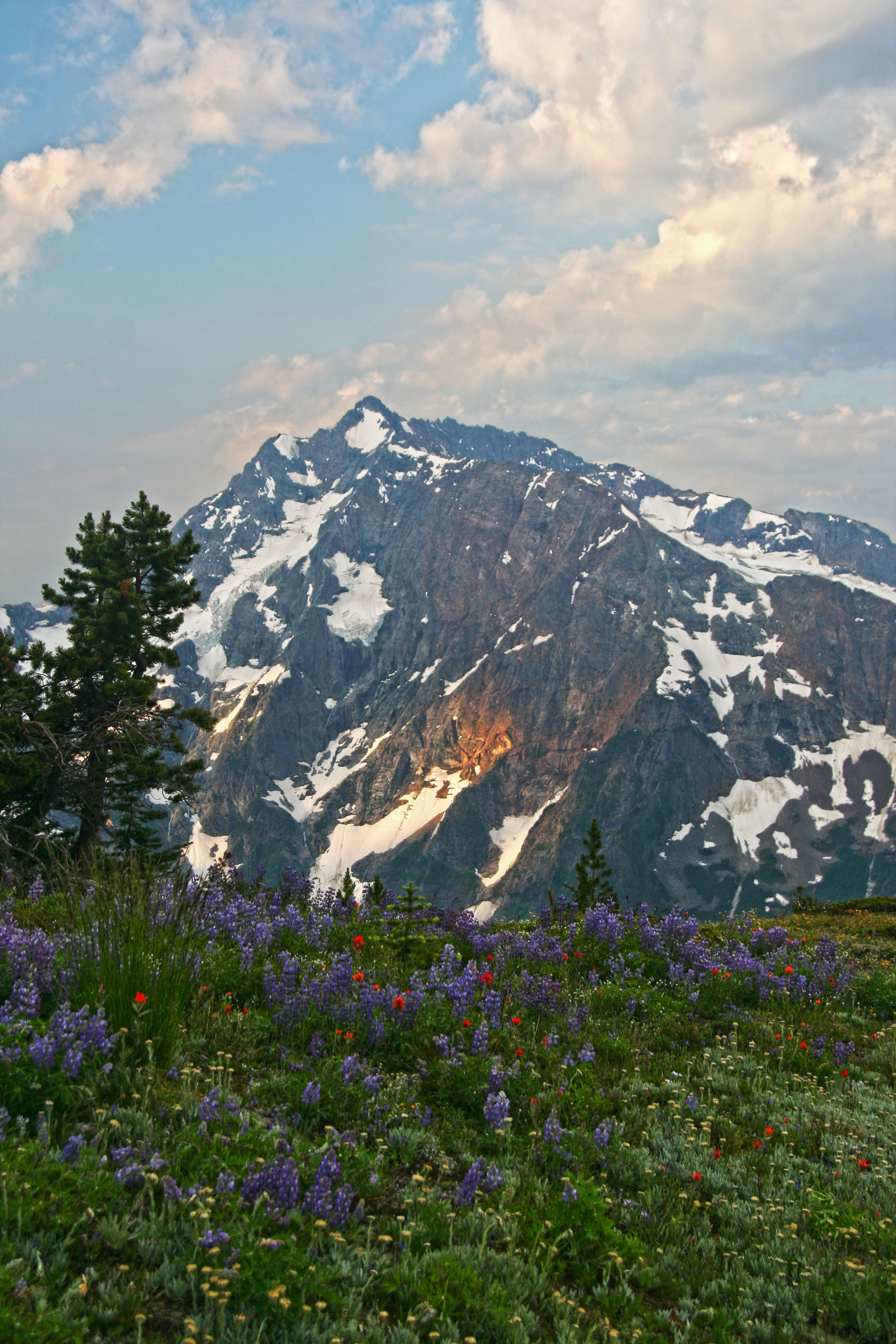
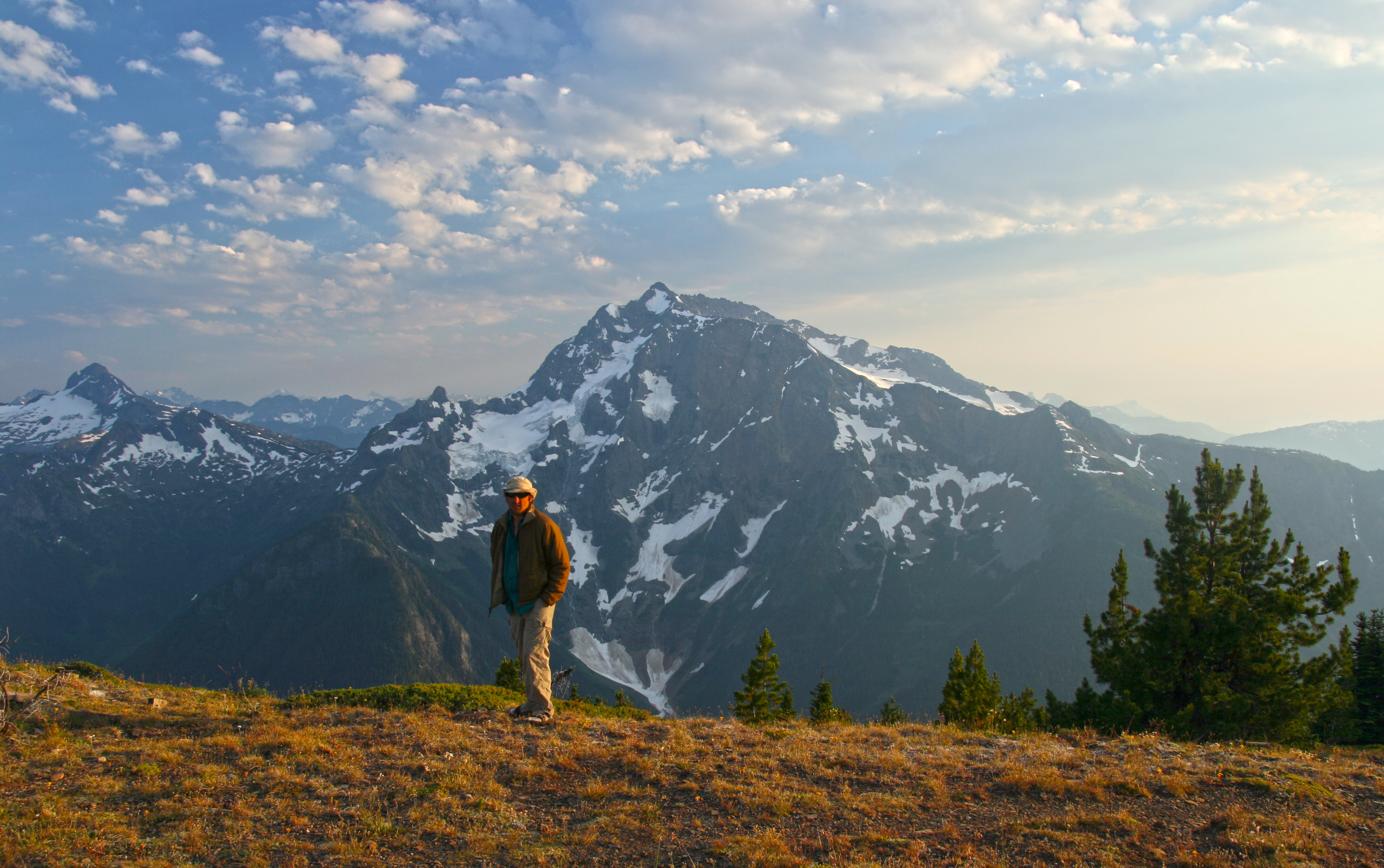
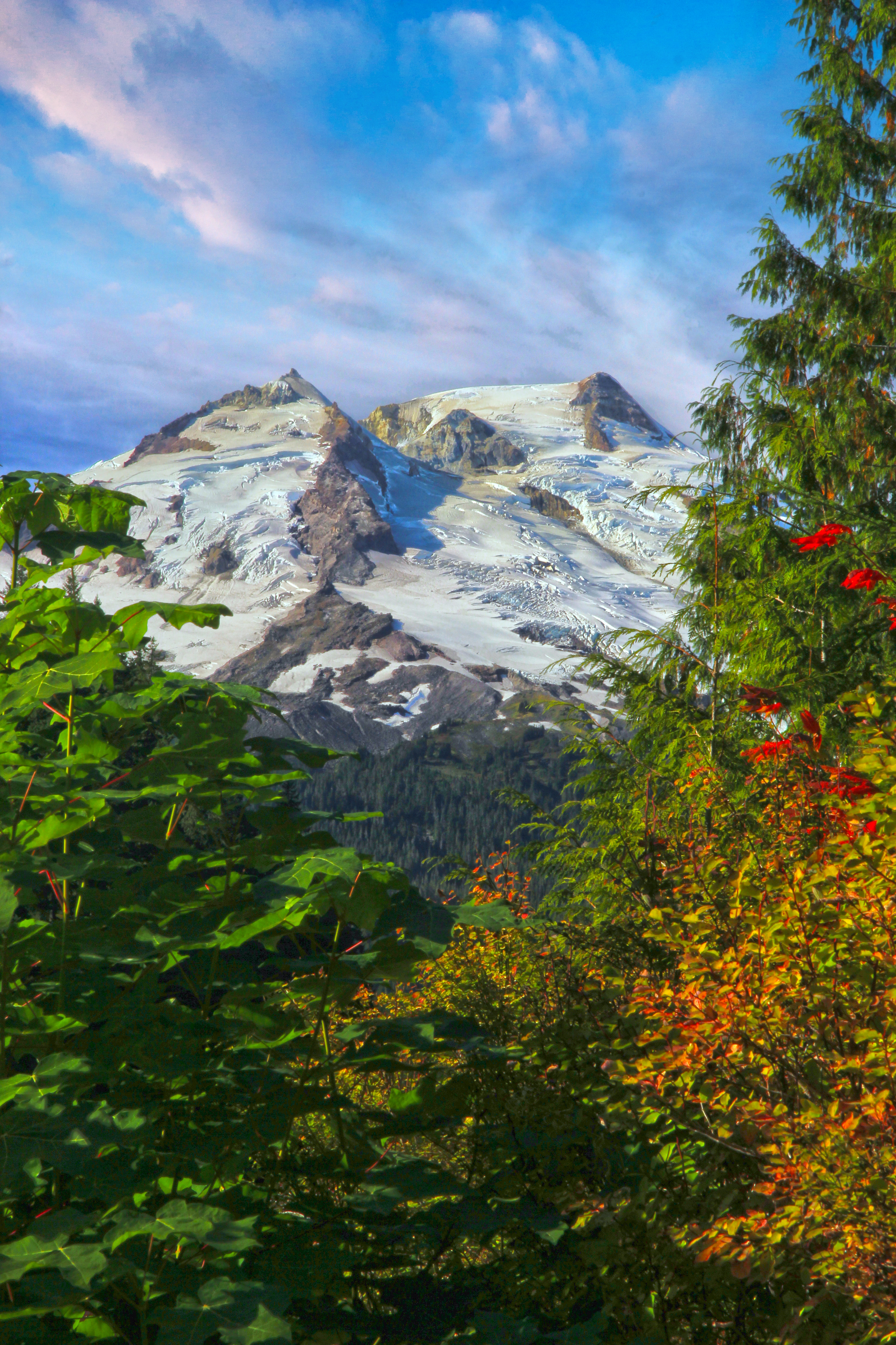
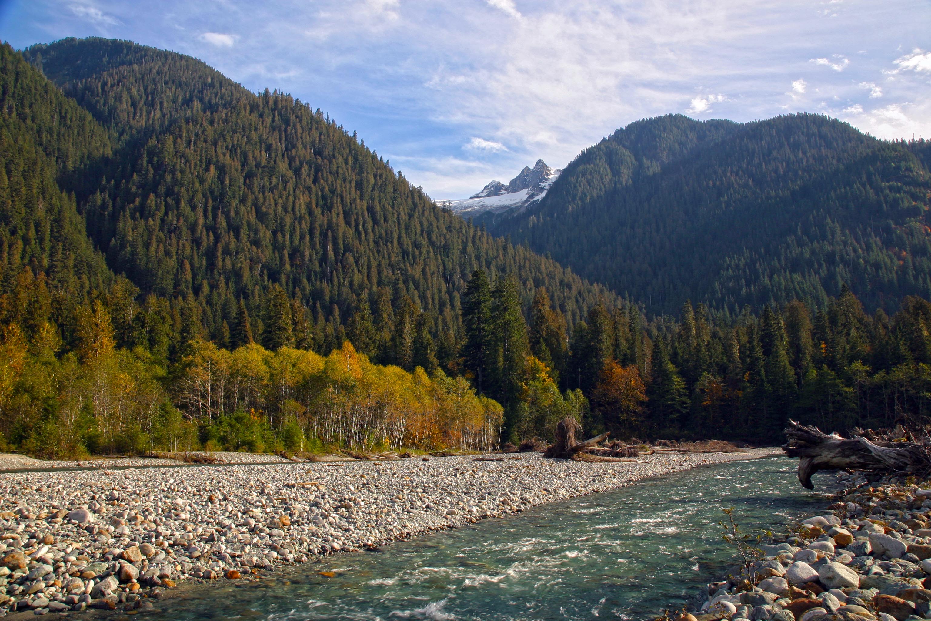
The first days hike took us up to Hannegan Pass and then, entering the North Cascades National Park, up to Selesia Camp on Copper Ridge. This is easily on my list of top 3 or 4 camp sites in the park, the views of Mount Shuksan, Ruth Mountain, Whatcom Peak and the Picket Range and many more are just breathtaking.
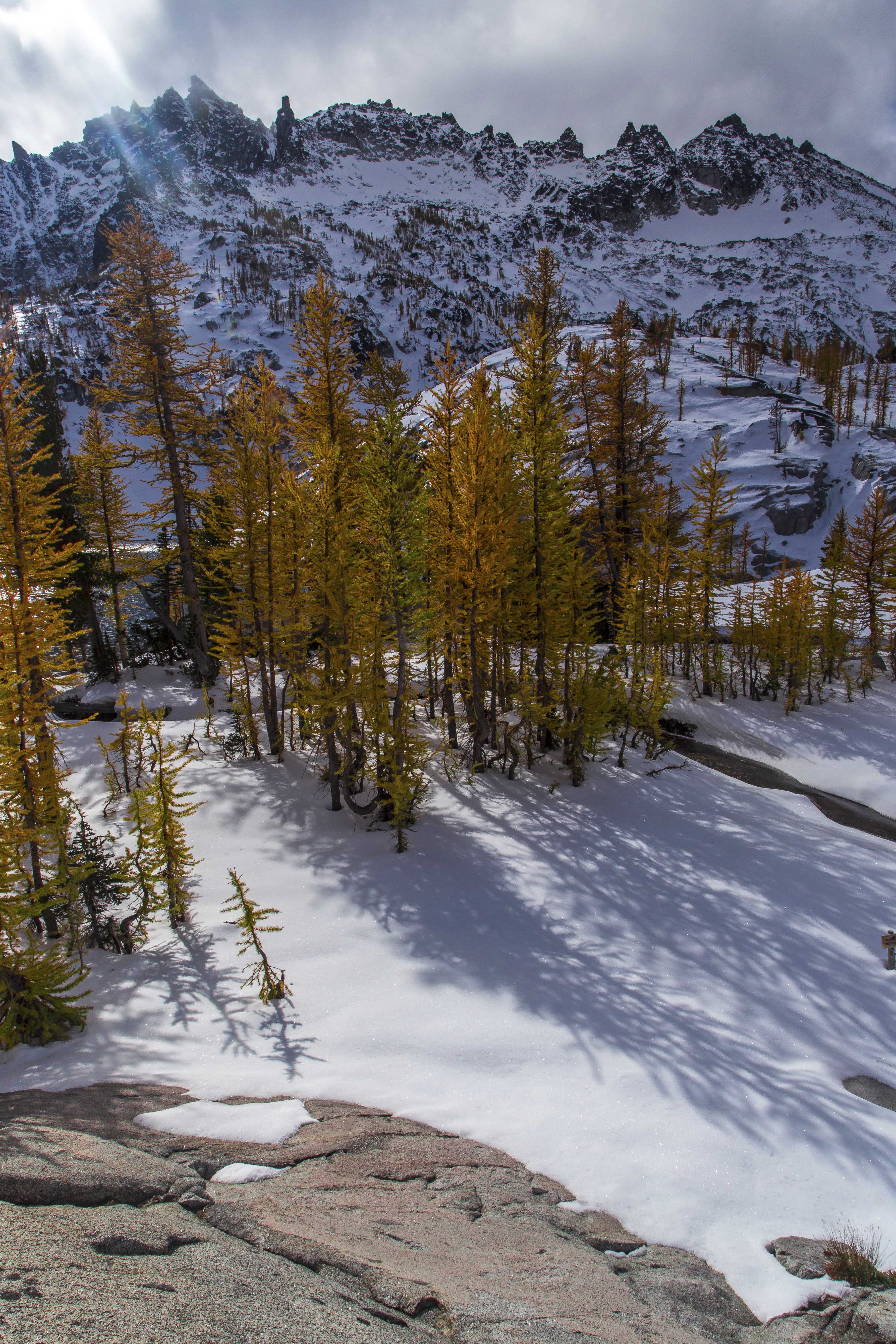
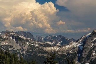 The Picket Range under Storm Clouds
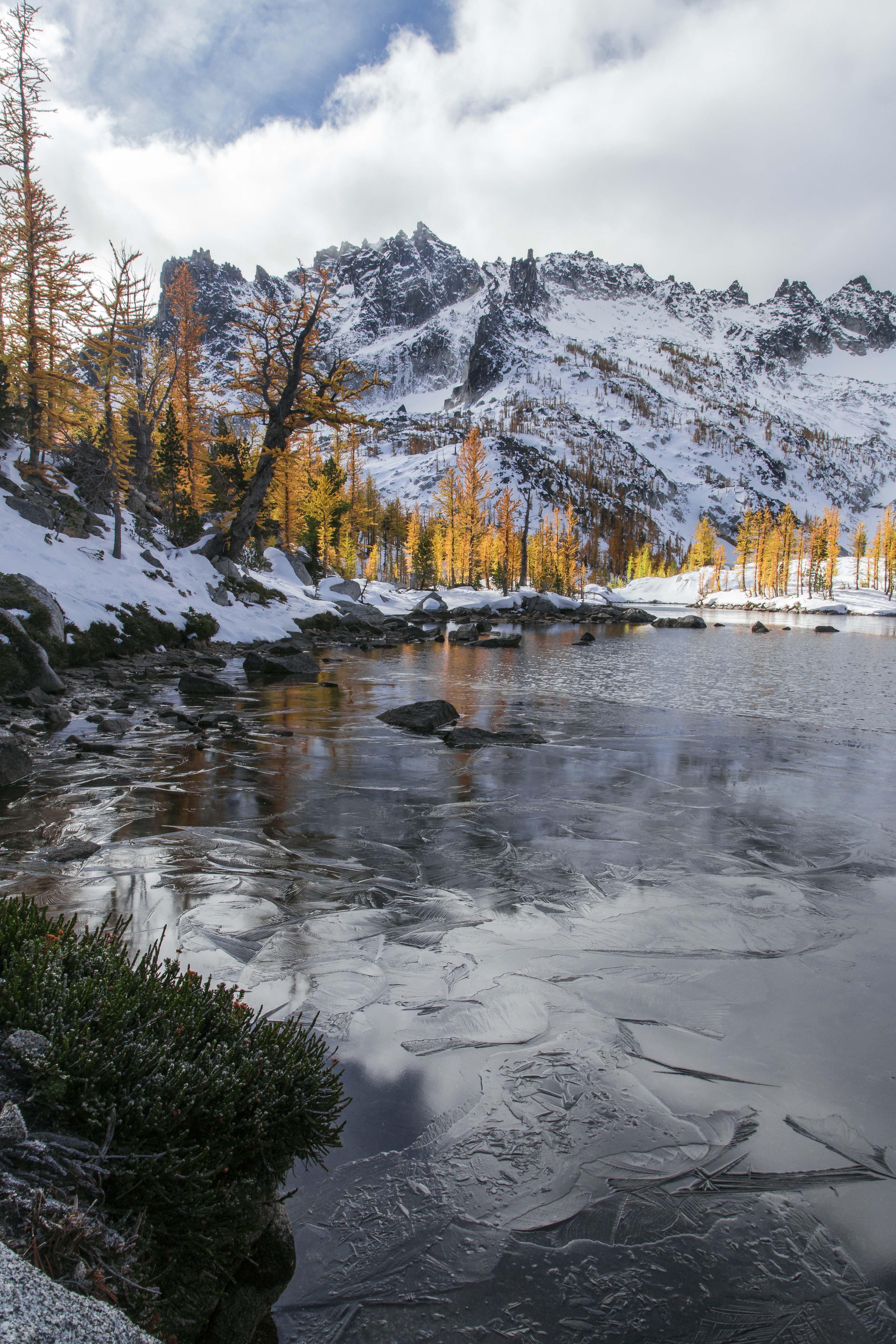
 Mount Shuksan from Selesia Camp
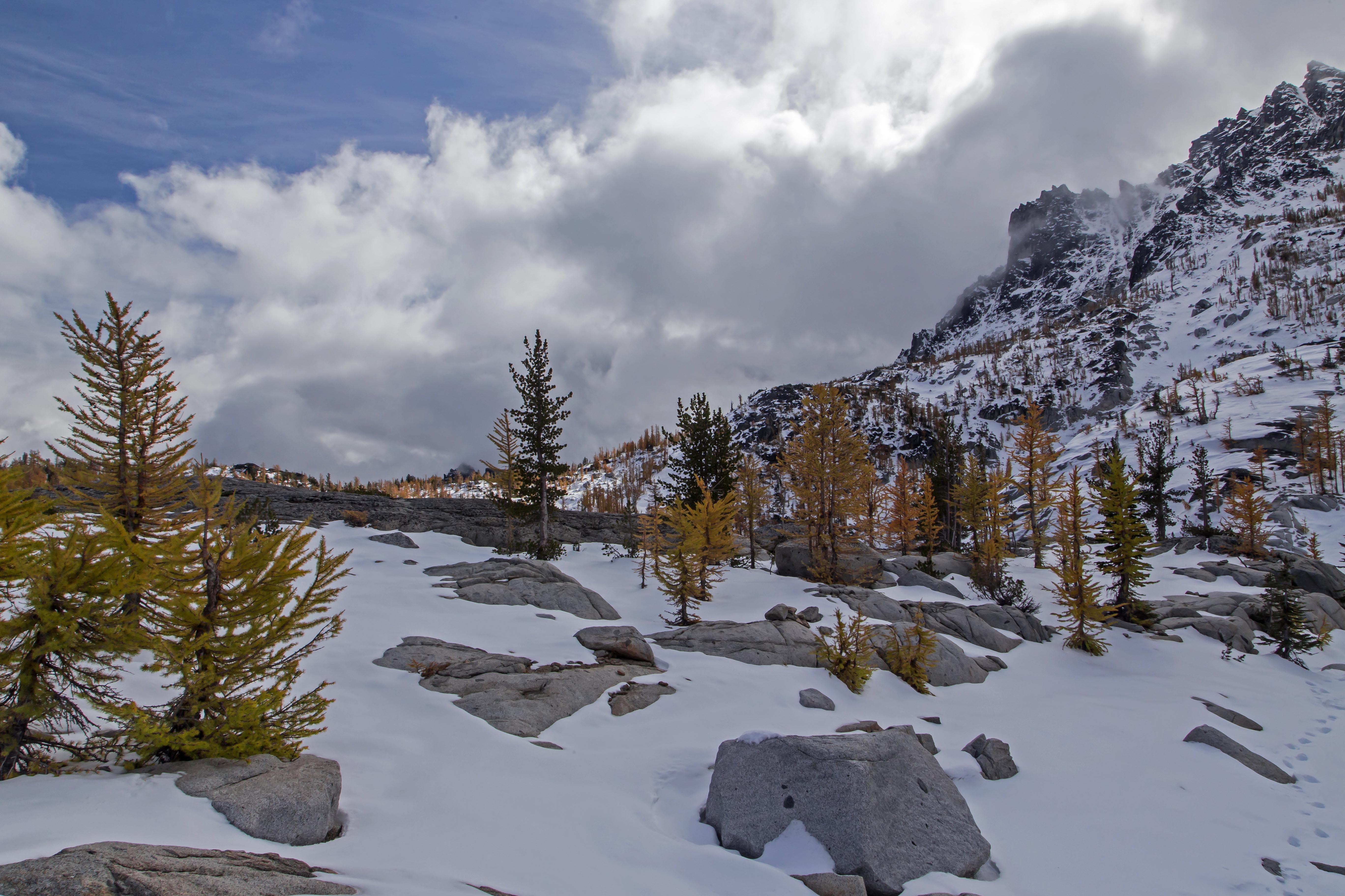
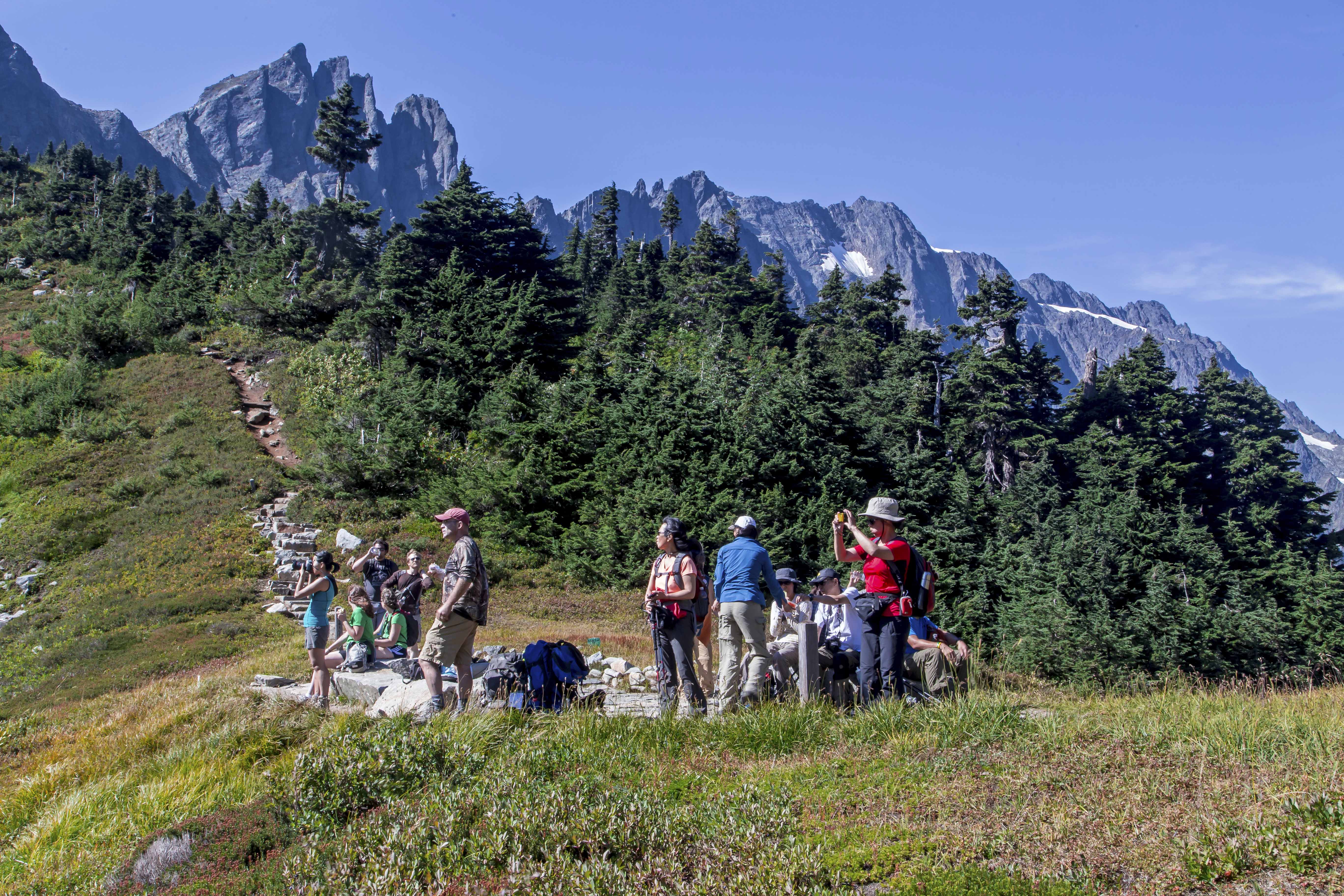
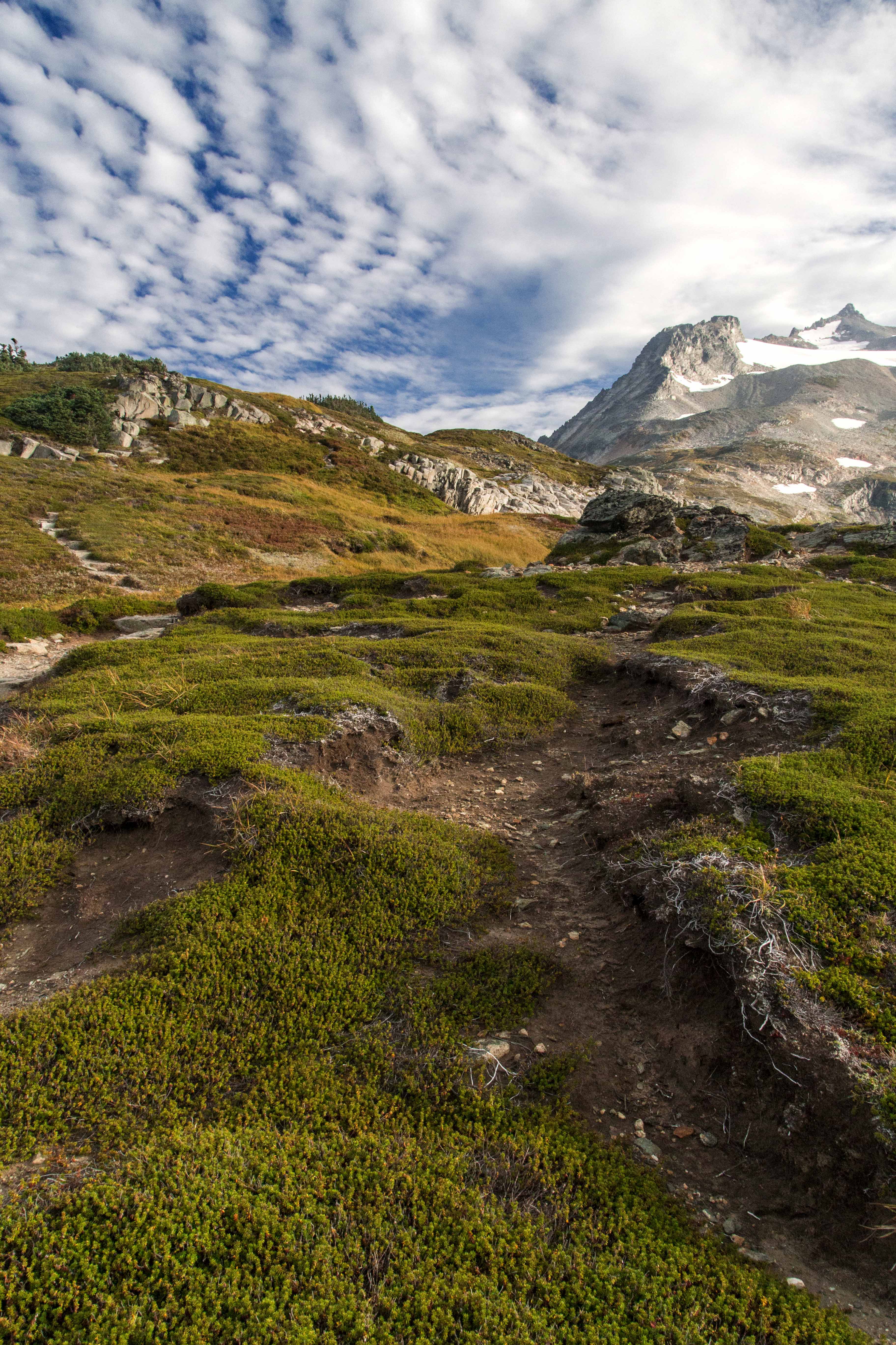
The night brought lightening and thunder and rain but the morning, to our surprise was clearing. We headed up to the Copper Ridge Lookout, at 6,600 ft the highest point along the trail. The park ranger was there to greet us and we toured the lookout while she pointed out the names of all the peak surrounding us. The trail ascending to the lookout from the north meanders through a bright green meadow in a sinuous s-curve just below the lookout. Years ago I captured a wonderful shot of a hiker climbing out of the abyss…
 Out of the abyss, Copper Ridge, North Cascades – 2006
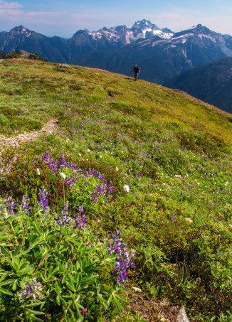 Hiker Approaching the Copper Ridge Lookout – 2013
Tanya, the Park Ranger commented that a lone hiker was approaching from Copper Lake and so now another chance was upon me to see about capturing again the silhouette against the backdrop of deep valleys.
Reluctantly departing from the views and company at the lookout we continued our ridge walk, descending to Copper Lake we stopped for lunch and a swim in its azure waters.
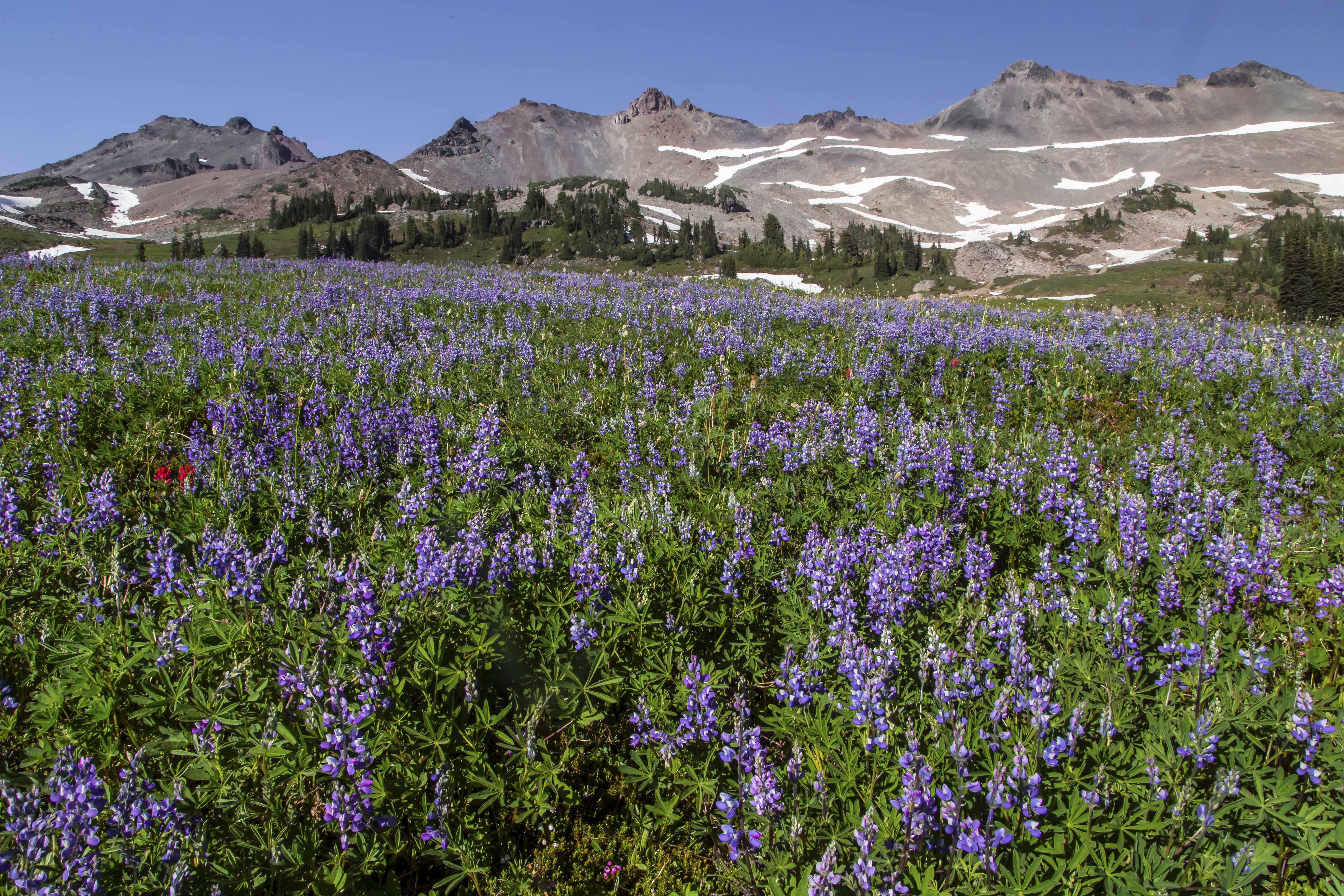
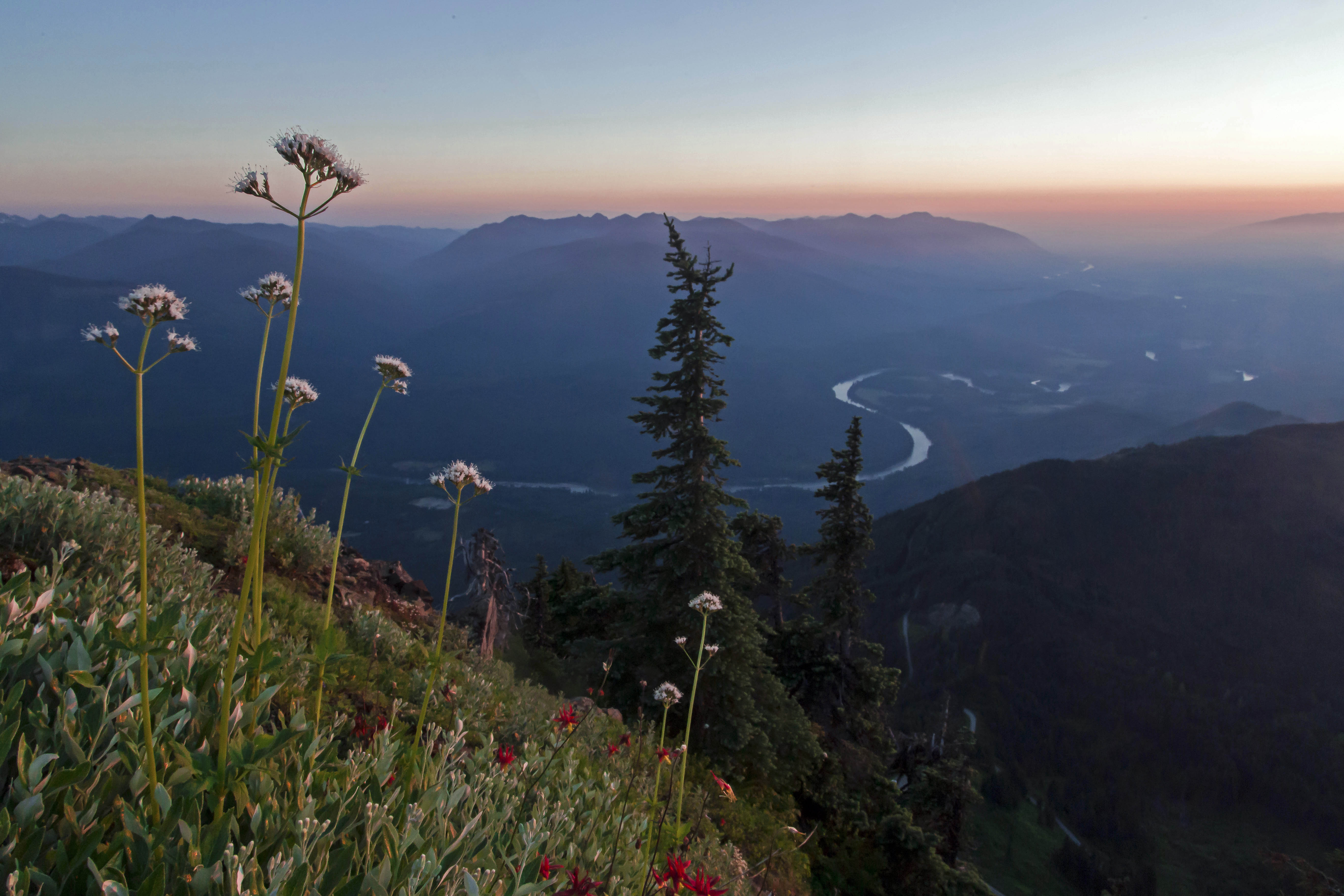
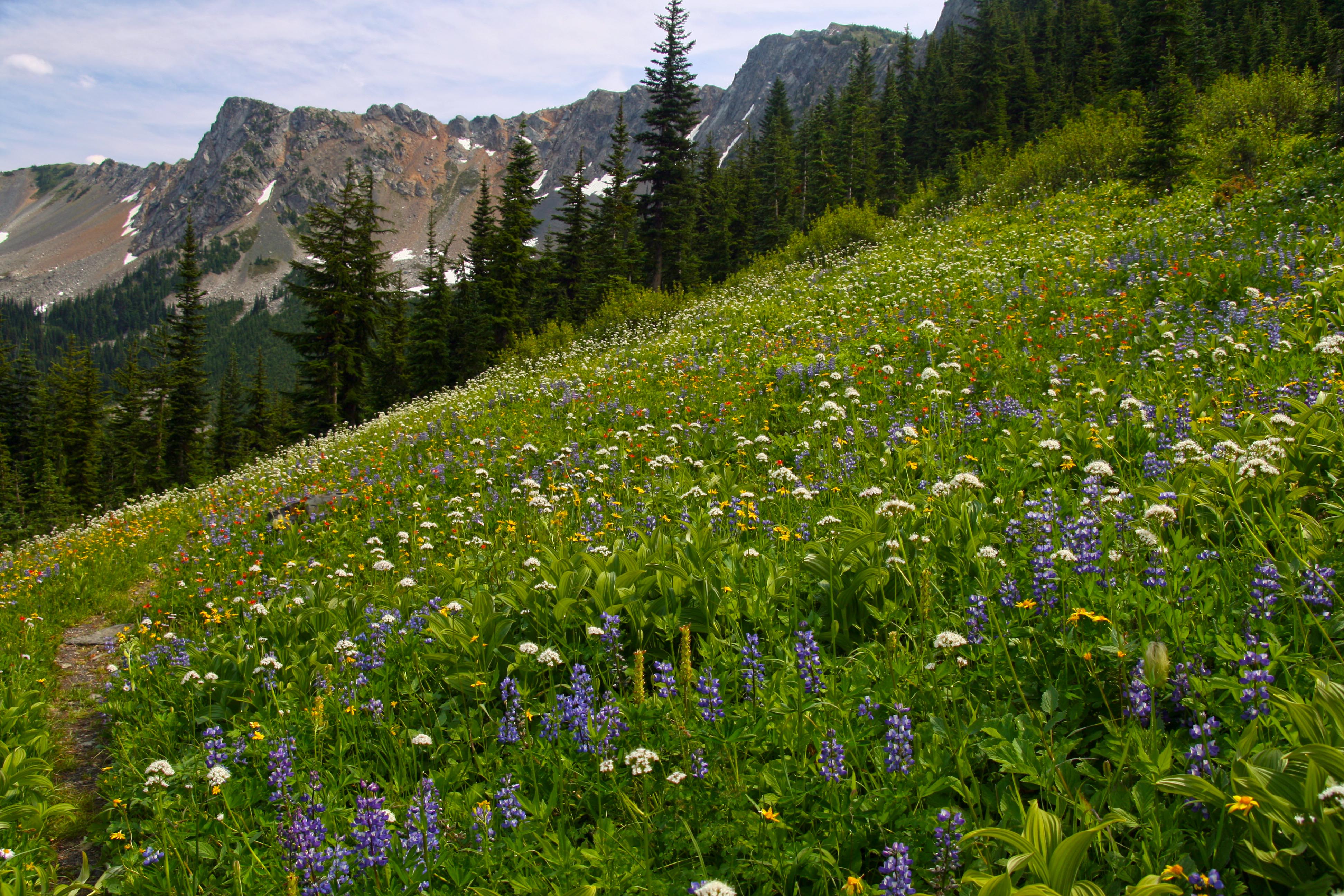
Surprisingly the weather held up and as we made the long traverse of the ridge the views were magnificent. Mount Redoubt and Bear Mountain stood out along the way.
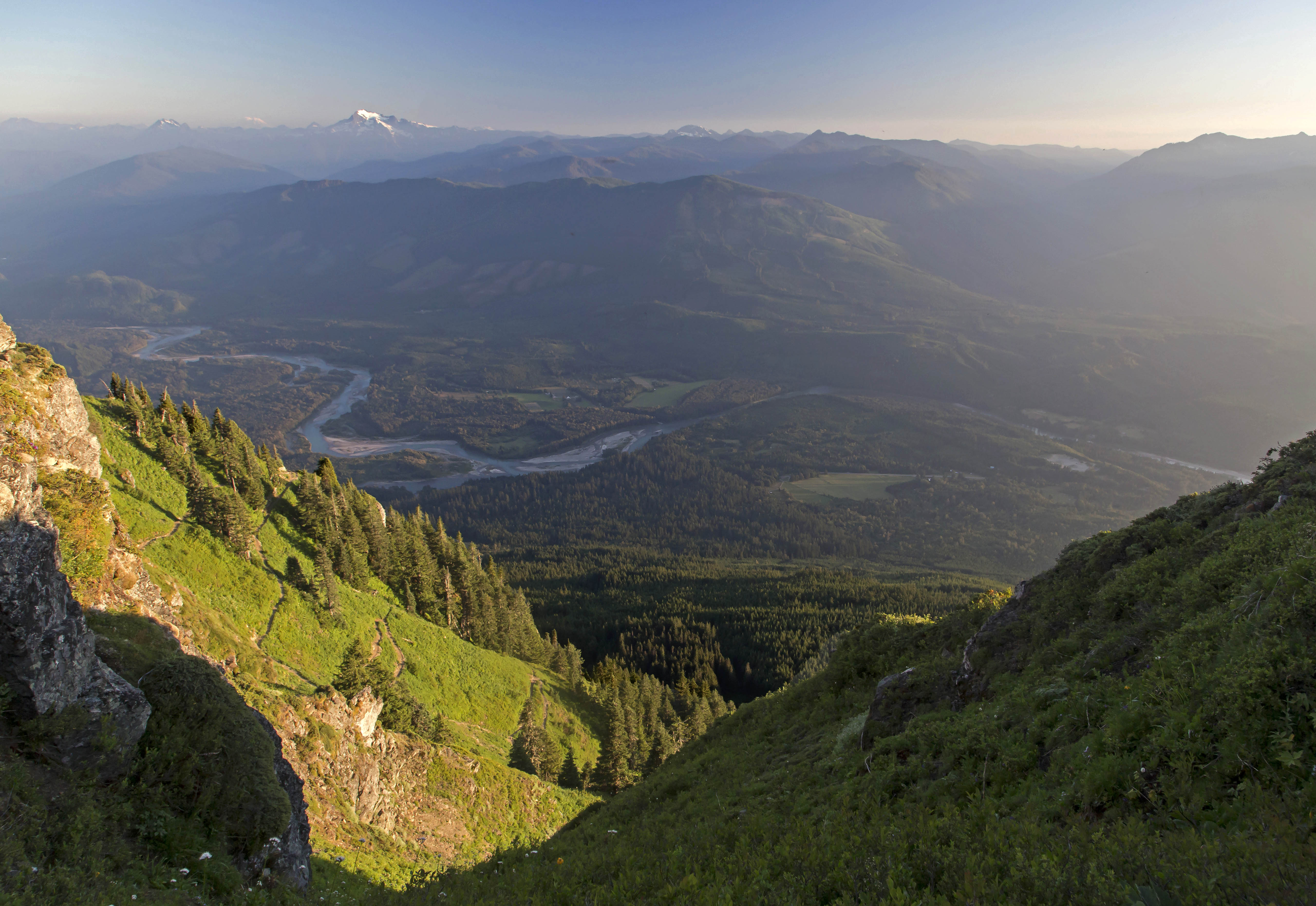
 Copper Ridge Panorama
 Storm clouds over Mount Redoubt
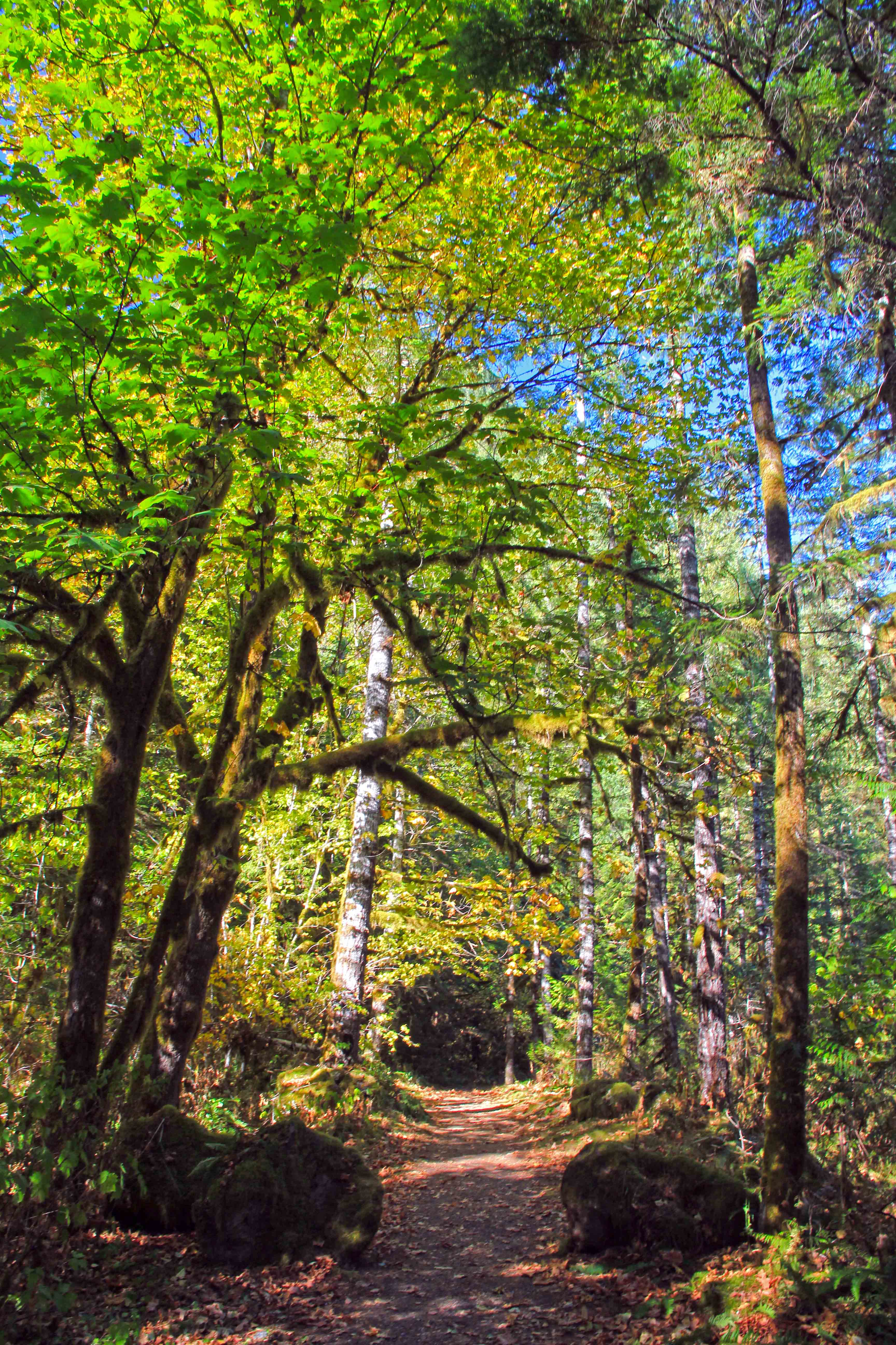
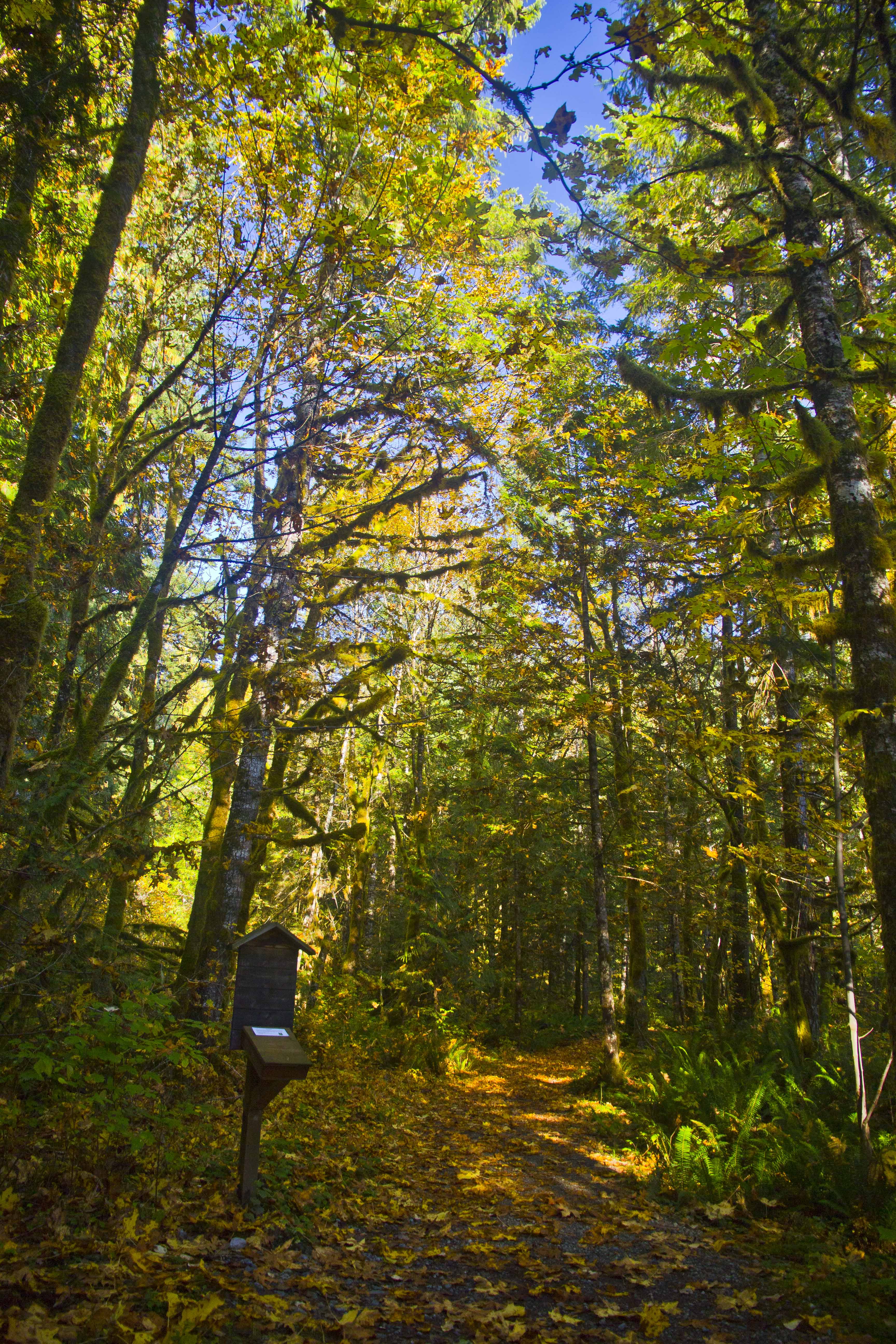
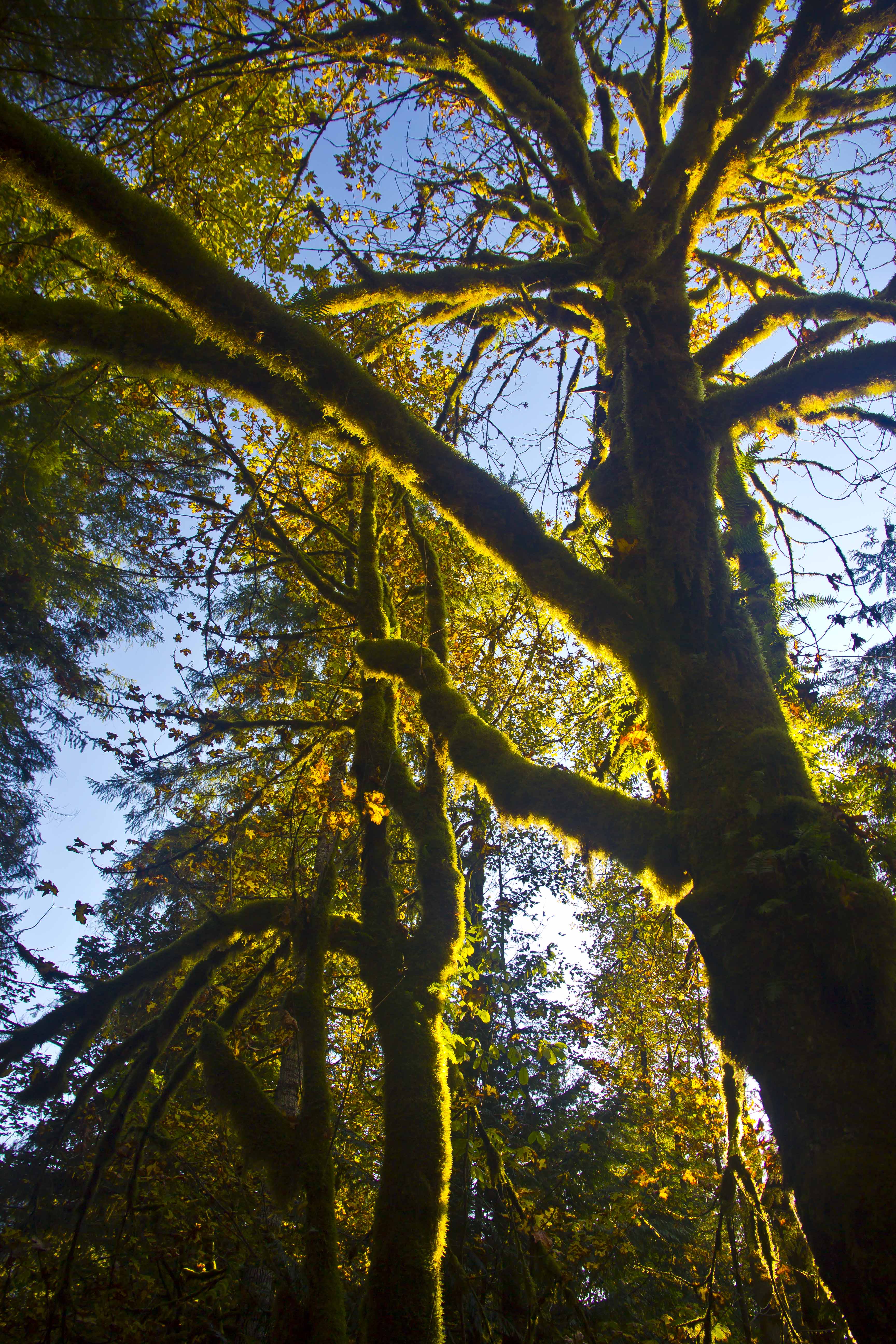
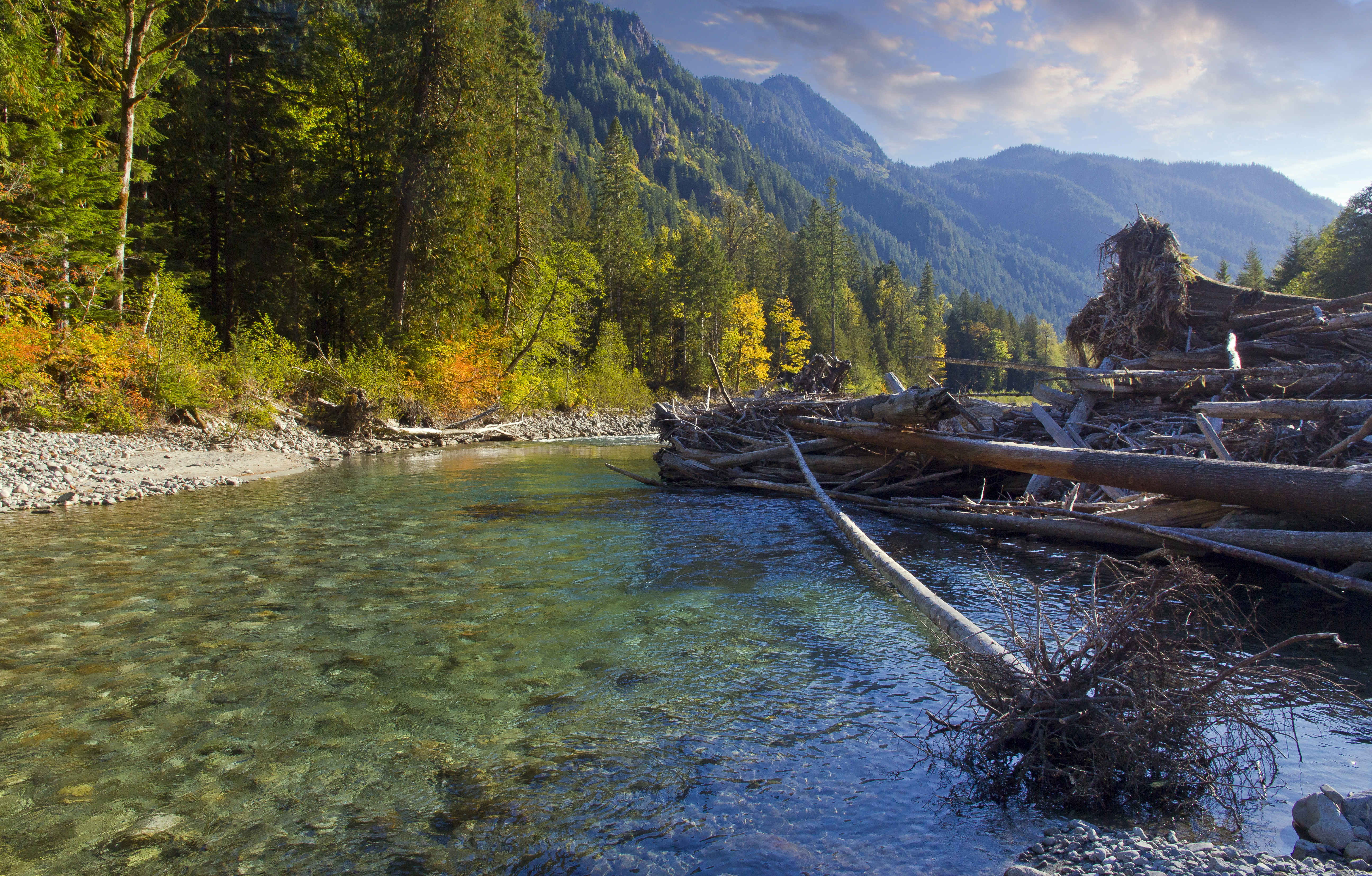
Reaching the end of the ridge we started down the long, seemingly endless series of switch backs towards the ford of the Chilliwack River and Indian Creek. The changes in the flora were dramatic as we descended from a bare forest floor carpeted with pine needles into a real rainforest, lush and green and wet.
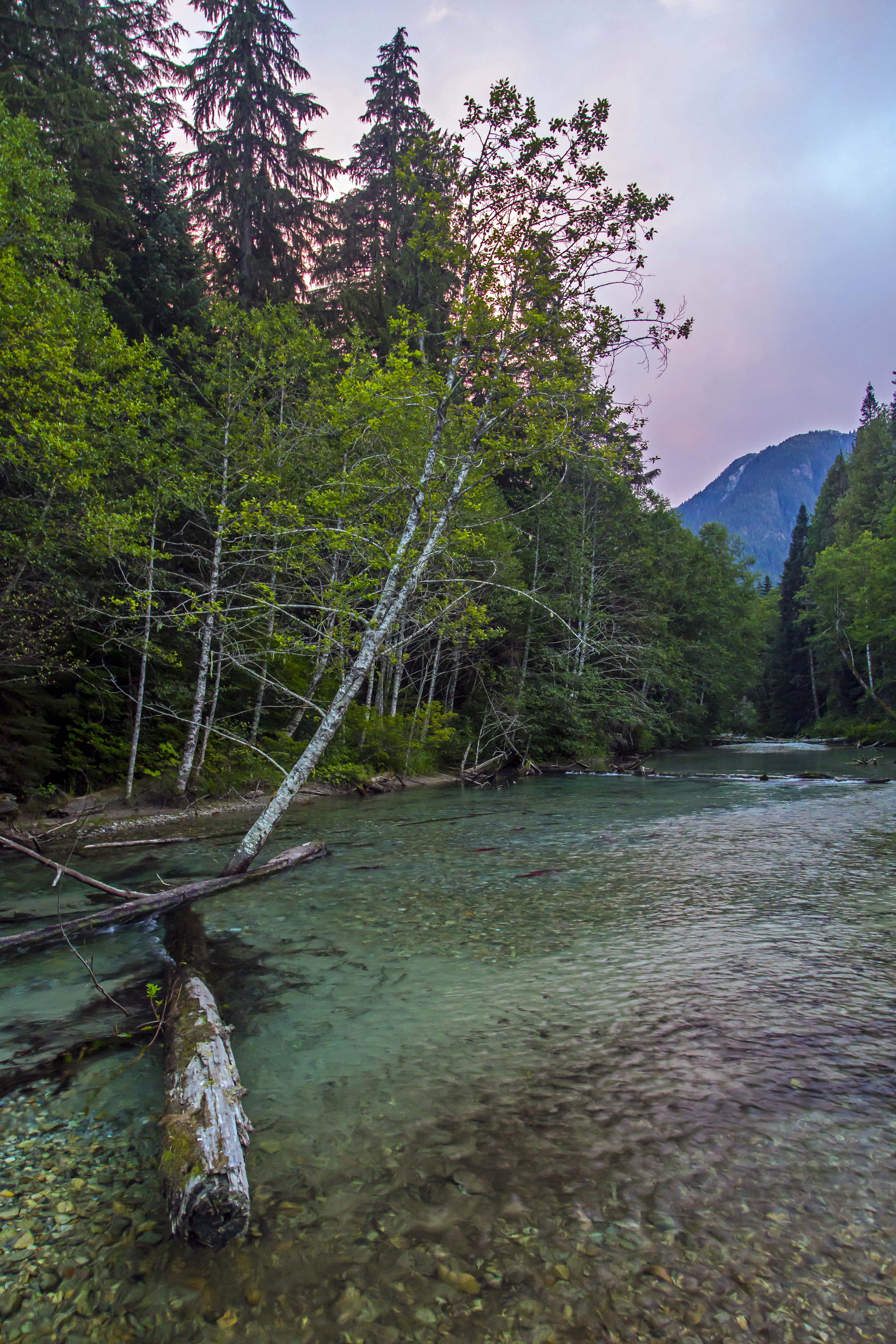
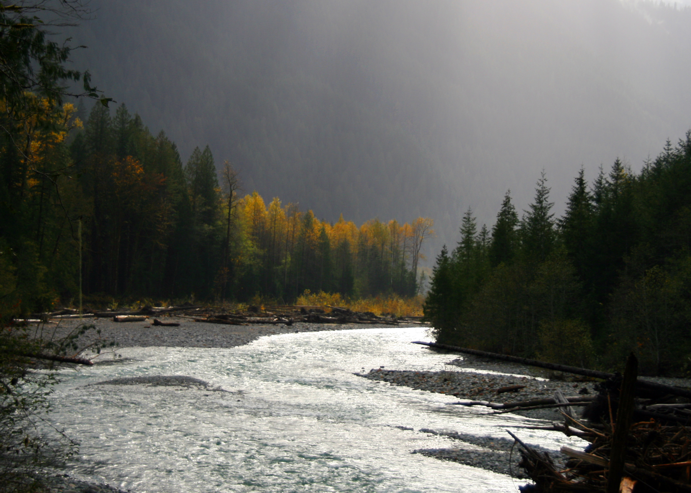
The two channels are parallel for a short time here, first crossing the Chilliwack and then a short section of forested river bed we came at last to Indian Creek and behold, the salmon were there, spawning in great numbers. Taking off shoes and socks again we looked for a ideal spot to rest and relax to enjoy the wonder of the place. a gravel bar at the point of confluence between the two streams was a perfect place.
Indian Creek is not a big stream, maybe 80 feet across here as it spreads out along the valley floor and shallow, knee-deep with some nooks where the water is as deep as 3 to 5 feet.
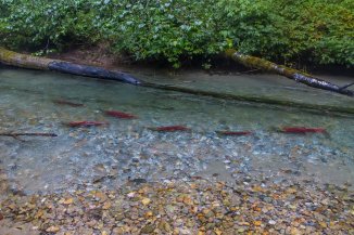 Salmon in the Creek
The salmon were there, just as before. They were not headed anywhere, the group of 70 or so simply treading water, looking happy to finally be back home.
Clambering out along logs and snags I tried to capture shots of the scene. the bright color of the fish is so impressive, they seemed to hover in the sparkling clear waters, the colorful stones looking like the ground far below while the salmon soared through the sky above.
 Flying Fish
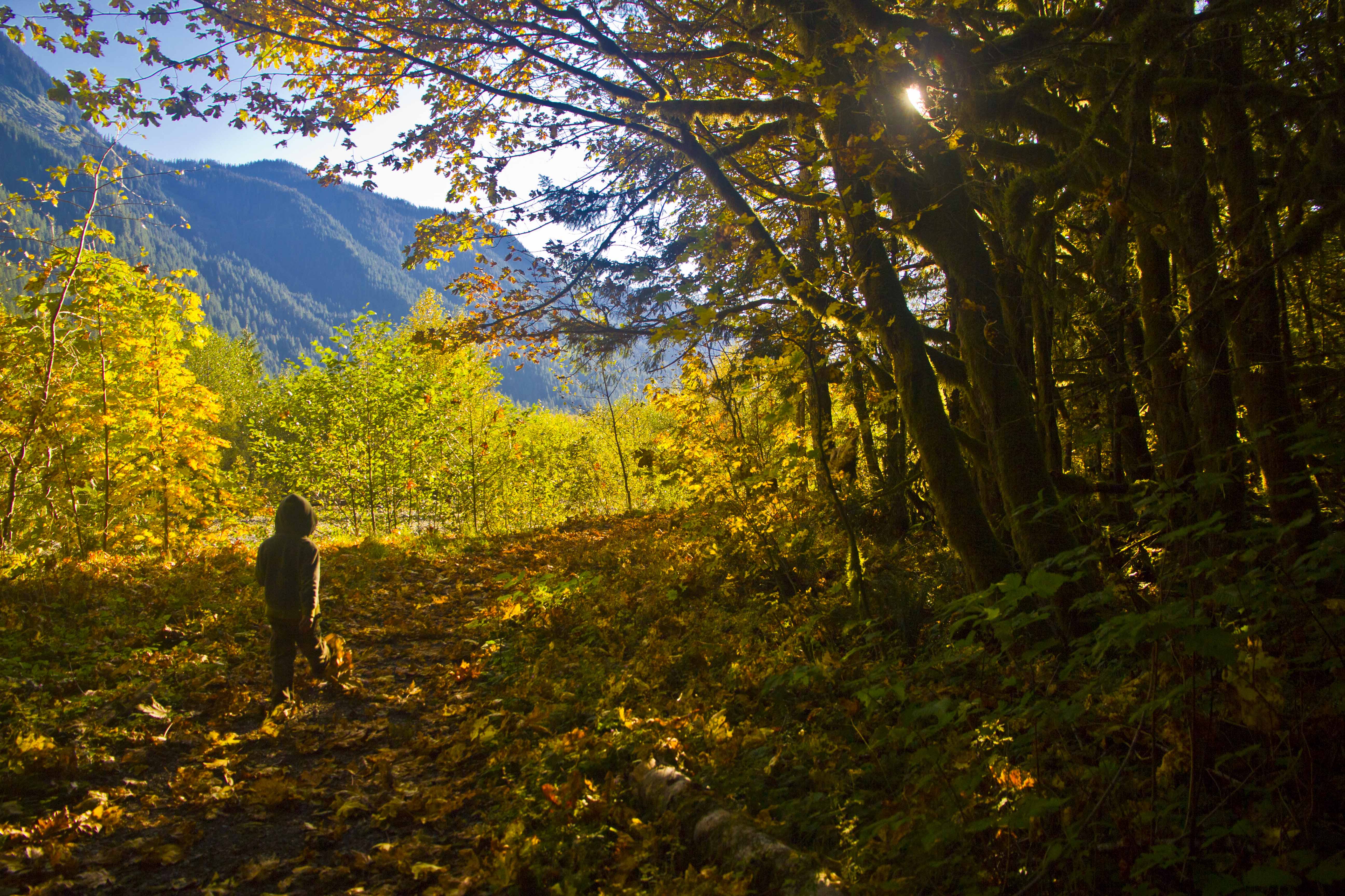
The place is so remote, the forest envelopes you and it is like having gone back in time. Deep in that valley was like being in a different life, on a different planet.
 Indian Creek Salmon
I bounced between standing still in wonder, trying to get some food, wanting to capture images and the strong desire to do something to take care of my aching feet. About 100 feet upstream a large brown/black bear appeared along the shore. we both froze, considering each other. As I started towards the camera a sharp noise frightened him back into the forest, my dreams of imaging the bear snacking on salmon vanished…
Sunset came swiftly. reds and blues and pinks and purples painting the waters with their fantastic hues.
 Sunset at Indian Creek
Night brought even harsher weather than the night before. The crashing of thunder now muted by the deepness of our camp in the forest. I was again happily surprised to awaken to clearing skies and spent the next hour or so back in the stream with the salmon. Morning fog made the scene even more ethereal.
 Morning fog over Indian Creek
It was a struggle to pull away and start the long slog up to Whatcom Pass.
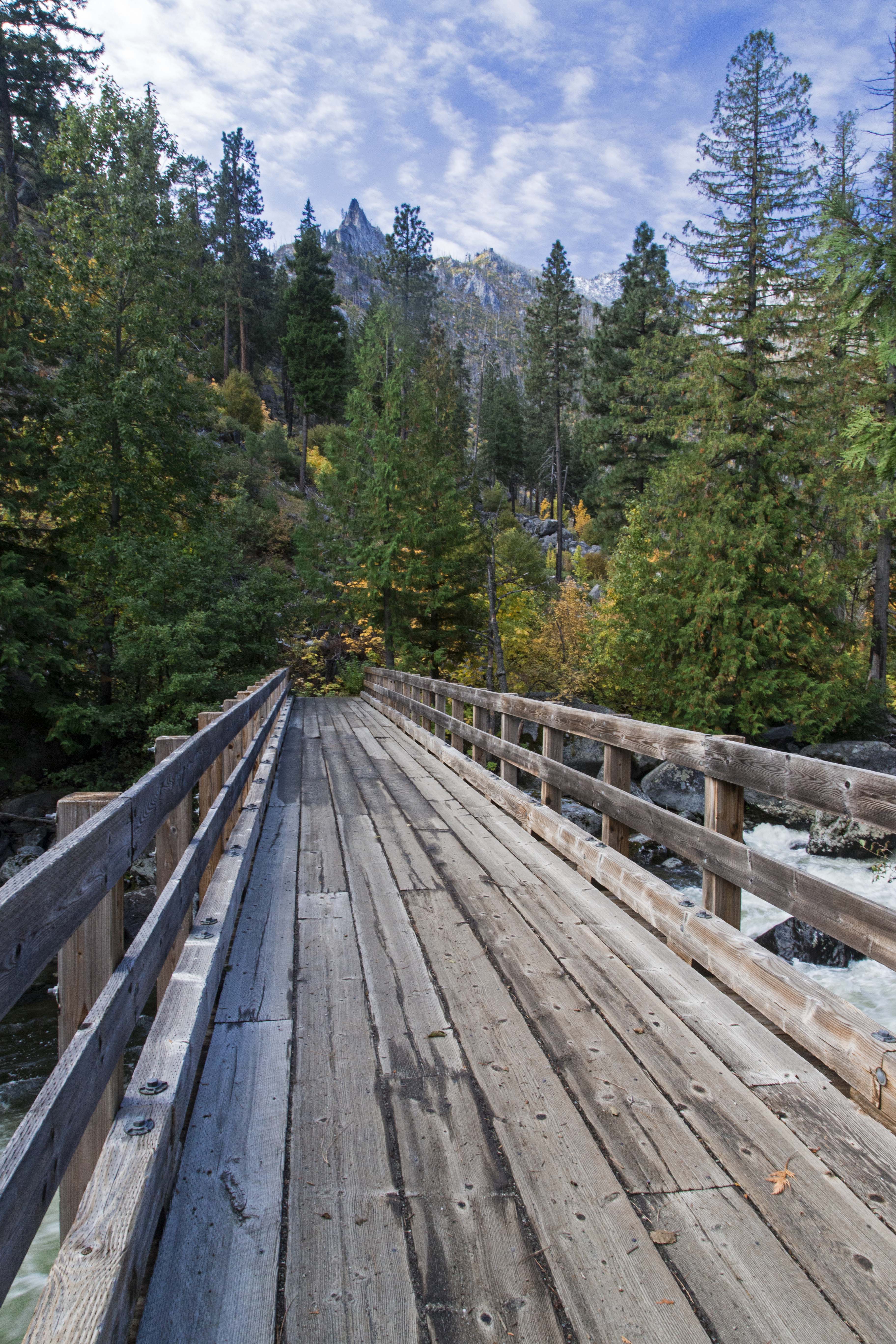
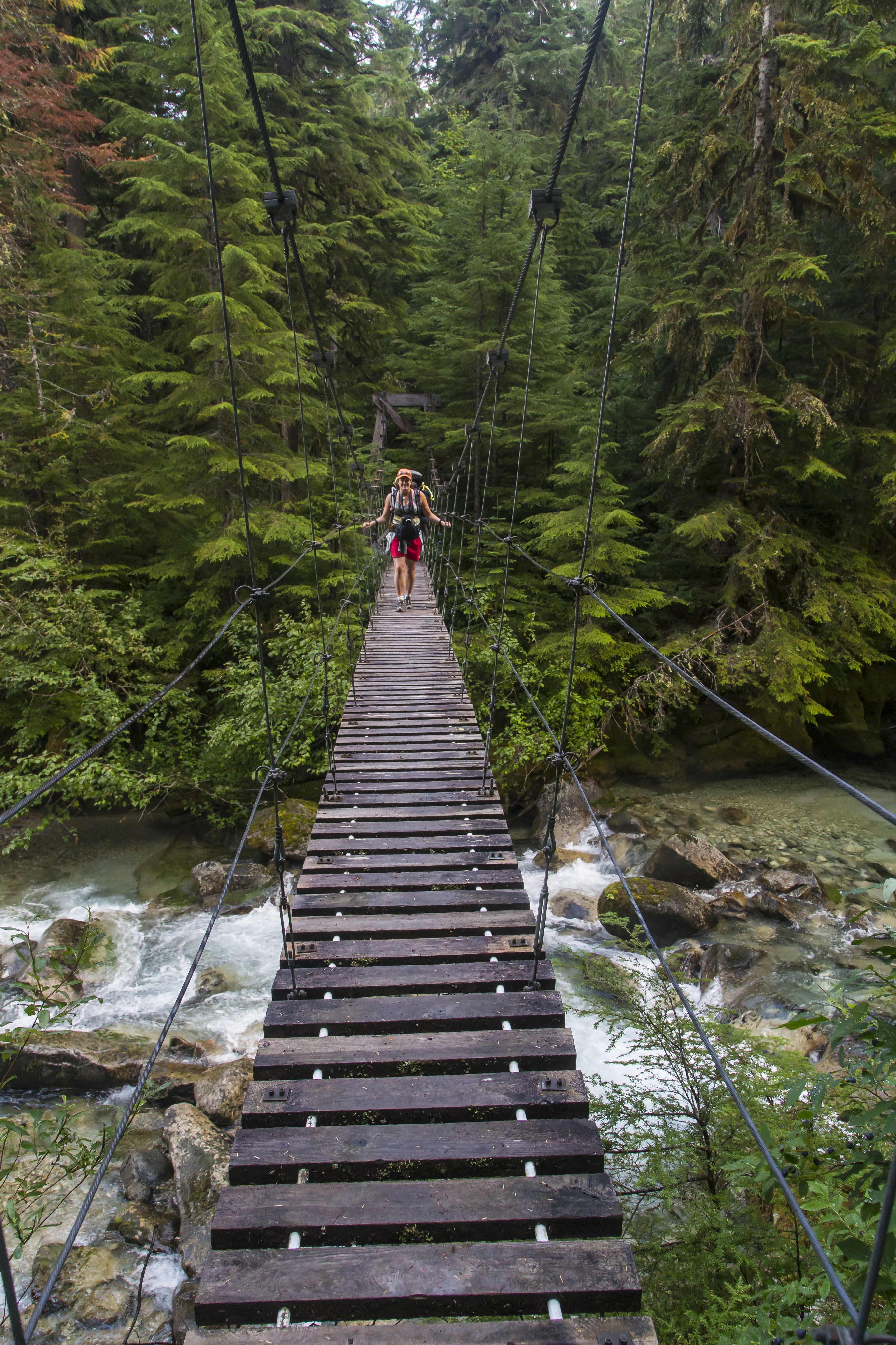
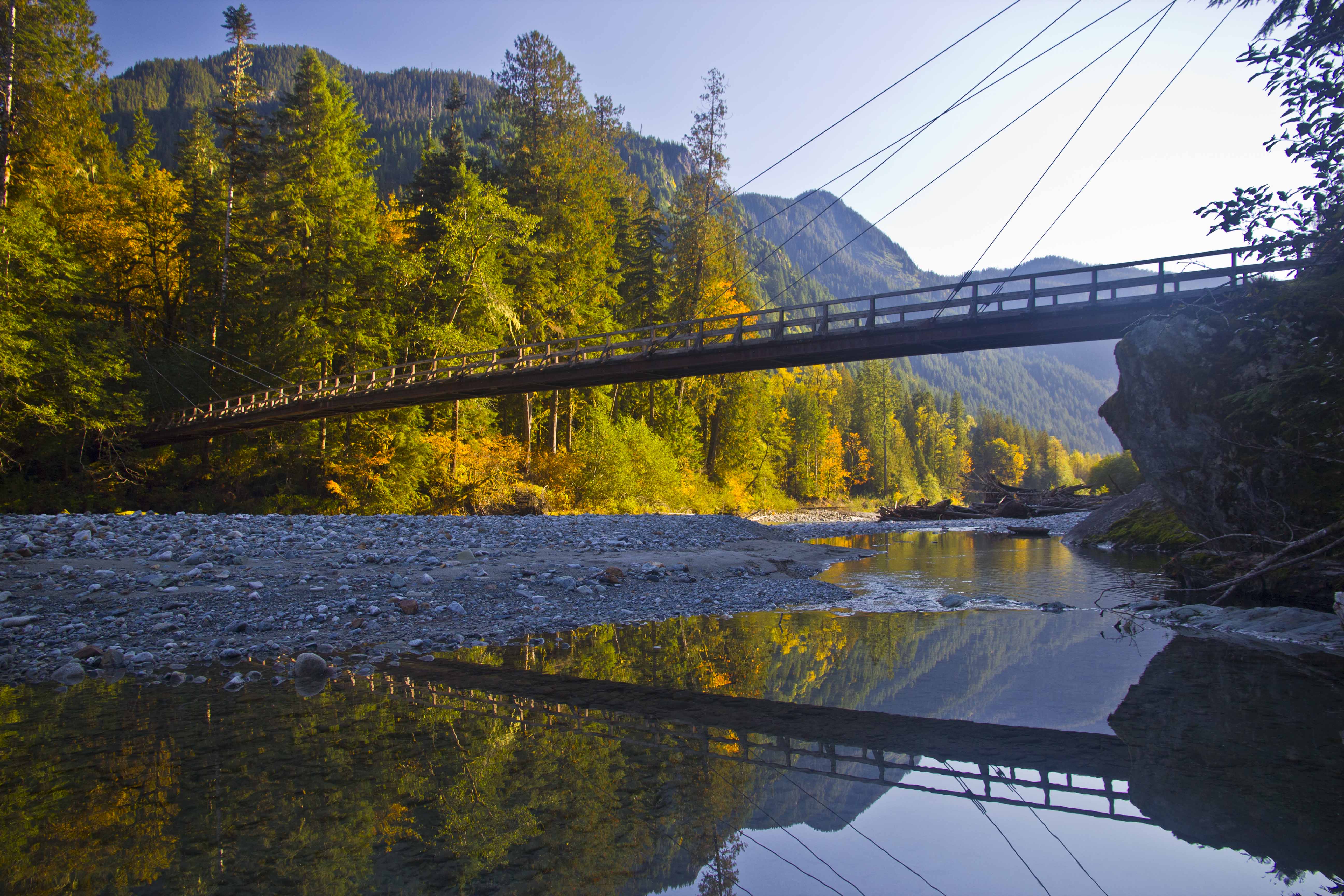
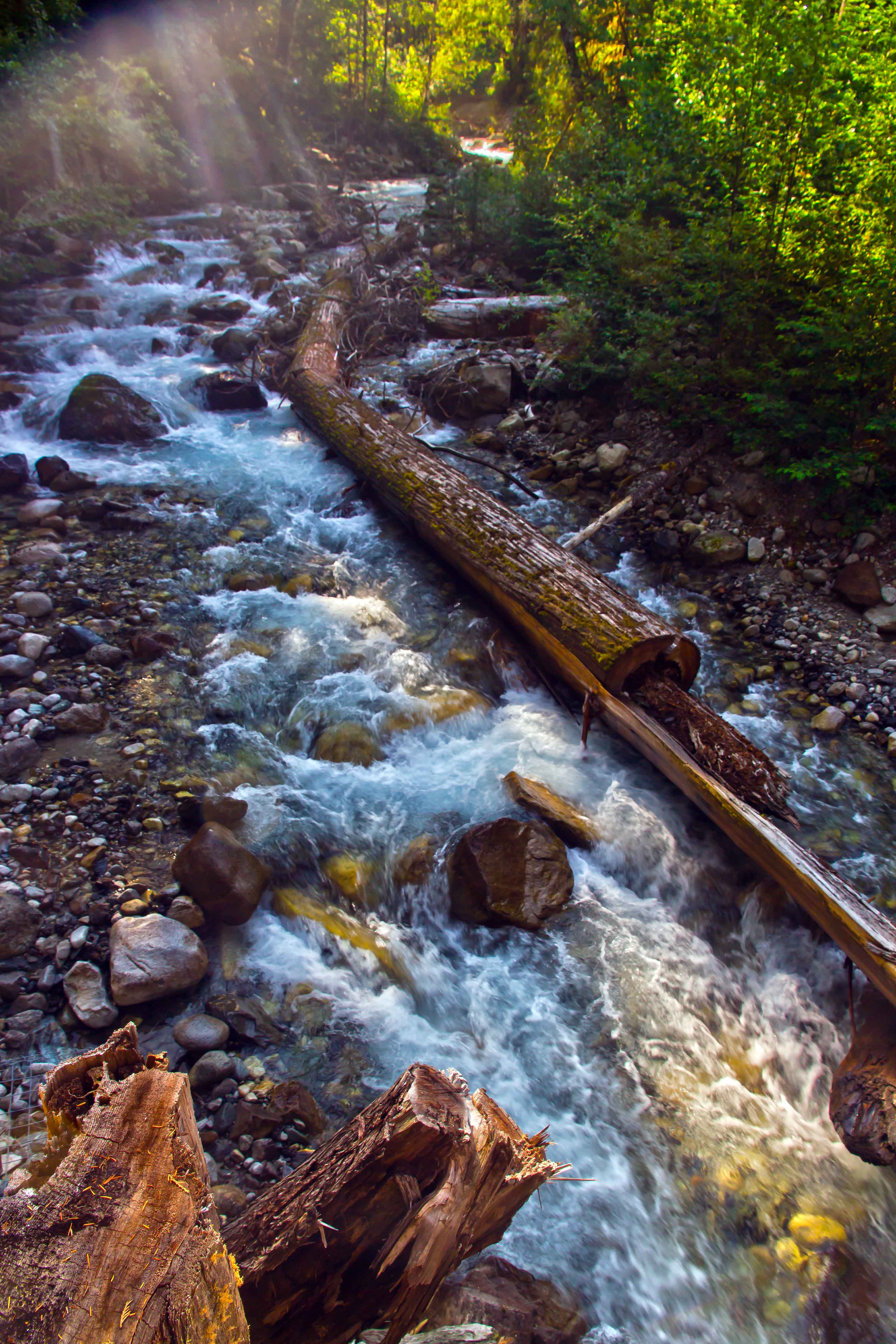
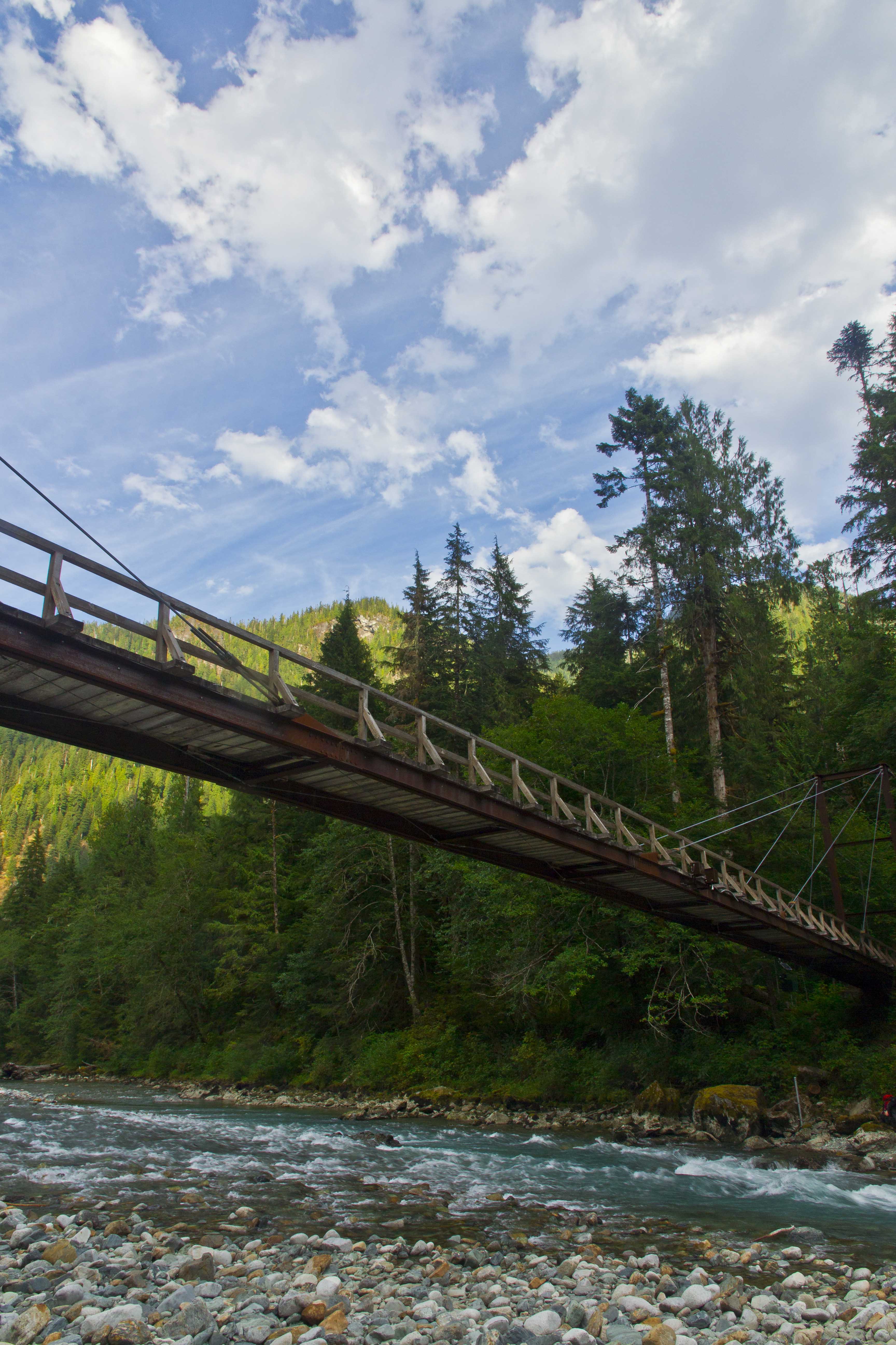
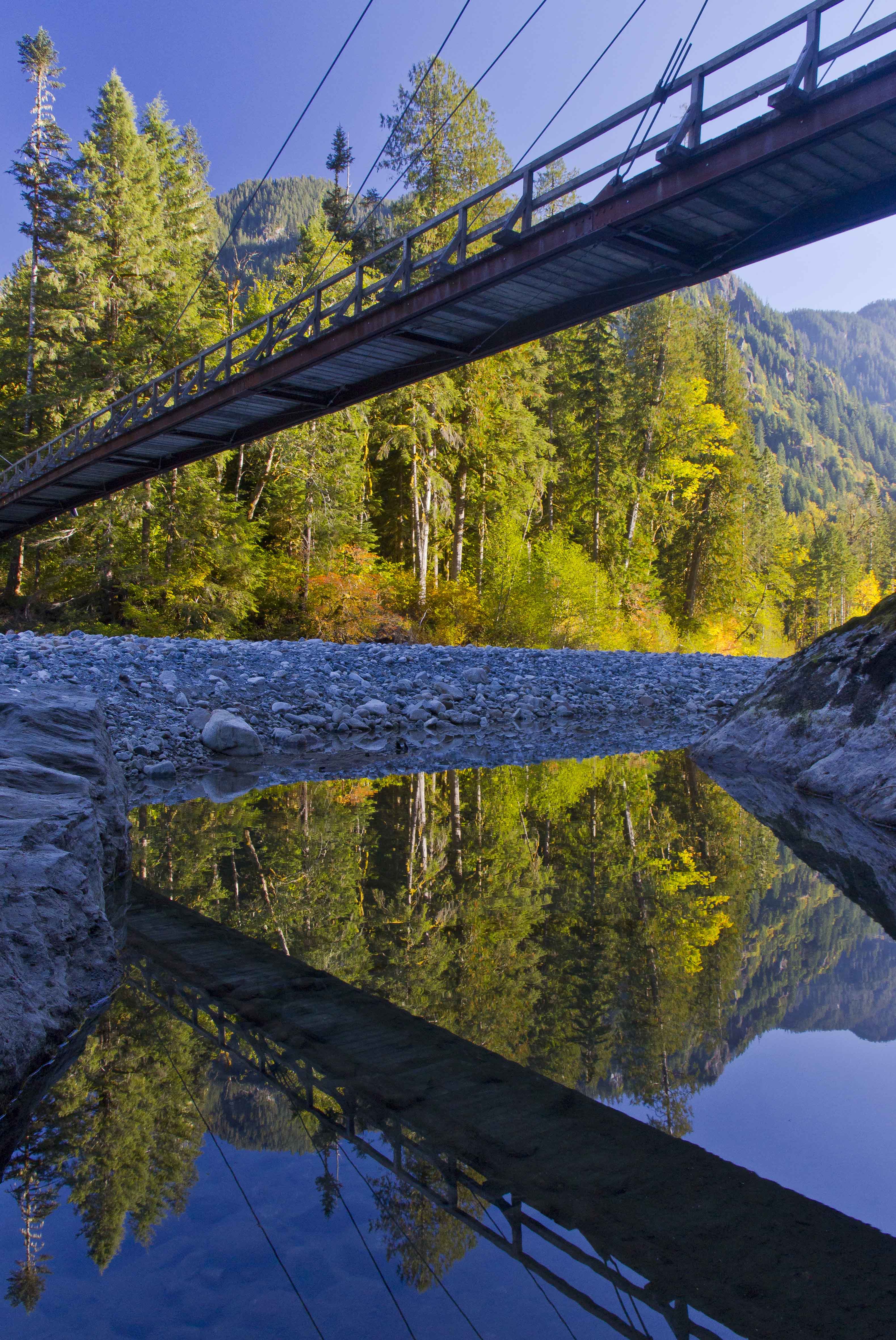
The suspension bridge above Indian Creek sways as you cross, the views up stream were captivating, the water coursing down in the dark green forest.
 Suspension bridge over Indian Creek
 Indian Creek Waterfalls
During the days travel we encountered many people: day-hikers and mountaineers, young and old(er), lost and found. I advised one and all to make a point to take the time to go visit the salmon.
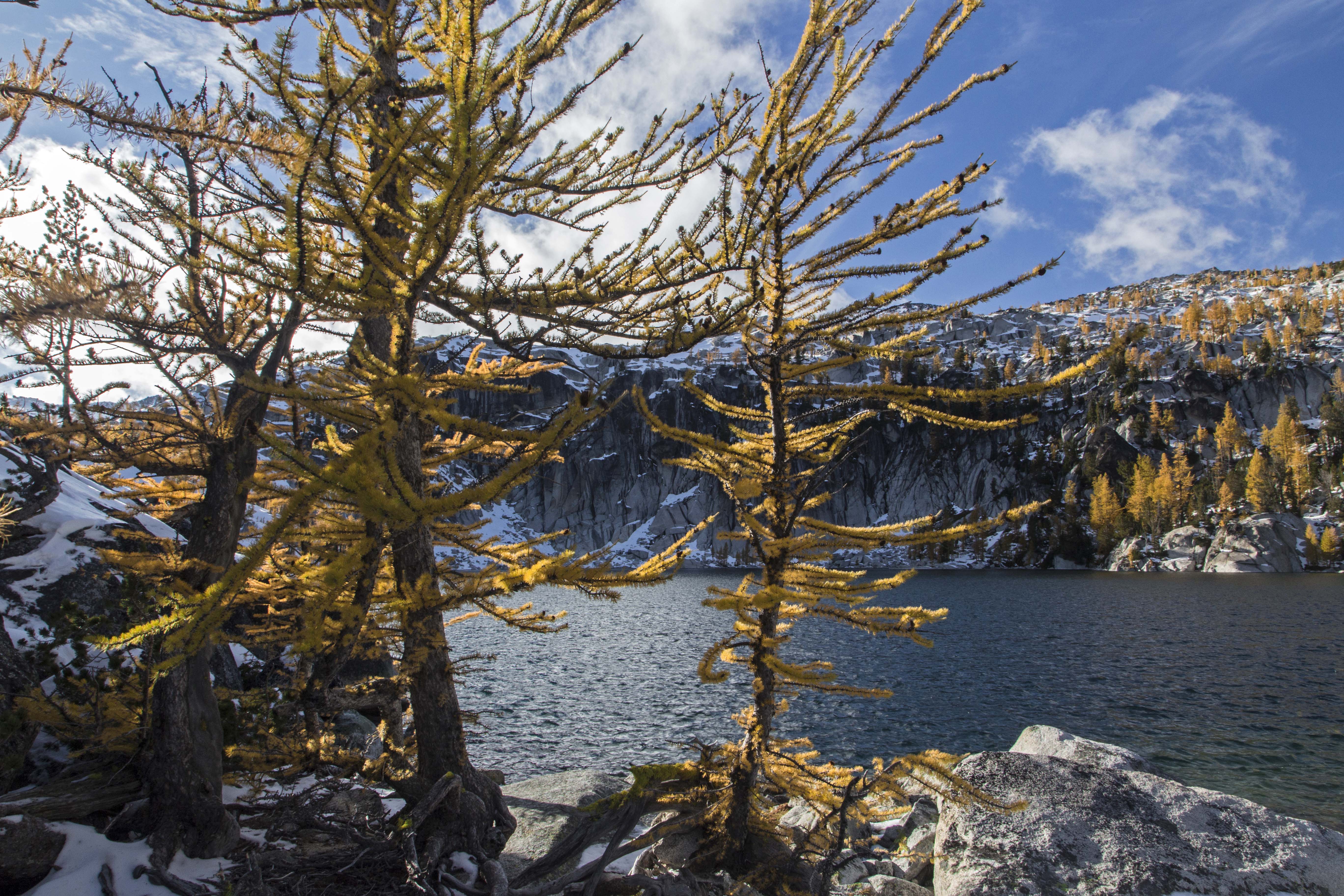
As we climbed up along Brush Creek the weather got gloomier and as we made it to the final climb at the valley head rain started. Our goal was Tapto Lakes that night, another hard 1,000 feet above the pass, but when we made it to Whatcom Camp the rains were pounding. Cold and wet we hurriedly set up the tent. Dry clothes, warm sleeping bags and hot food tend to improve the spirits quickly.
That night the storms really pounded. The tent was alight with flashes, the thunder and lightening coming simultaneously. Protected somewhat by the trees and the fact that we were a quarter mile down from the pass we lived through it, and awoke to an almost complete white out.
 Mt Challenger lost in clouds
My desire to hike another 1,000 vertical feet evaporated and I headed down the trail, back towards the Chilliwack.
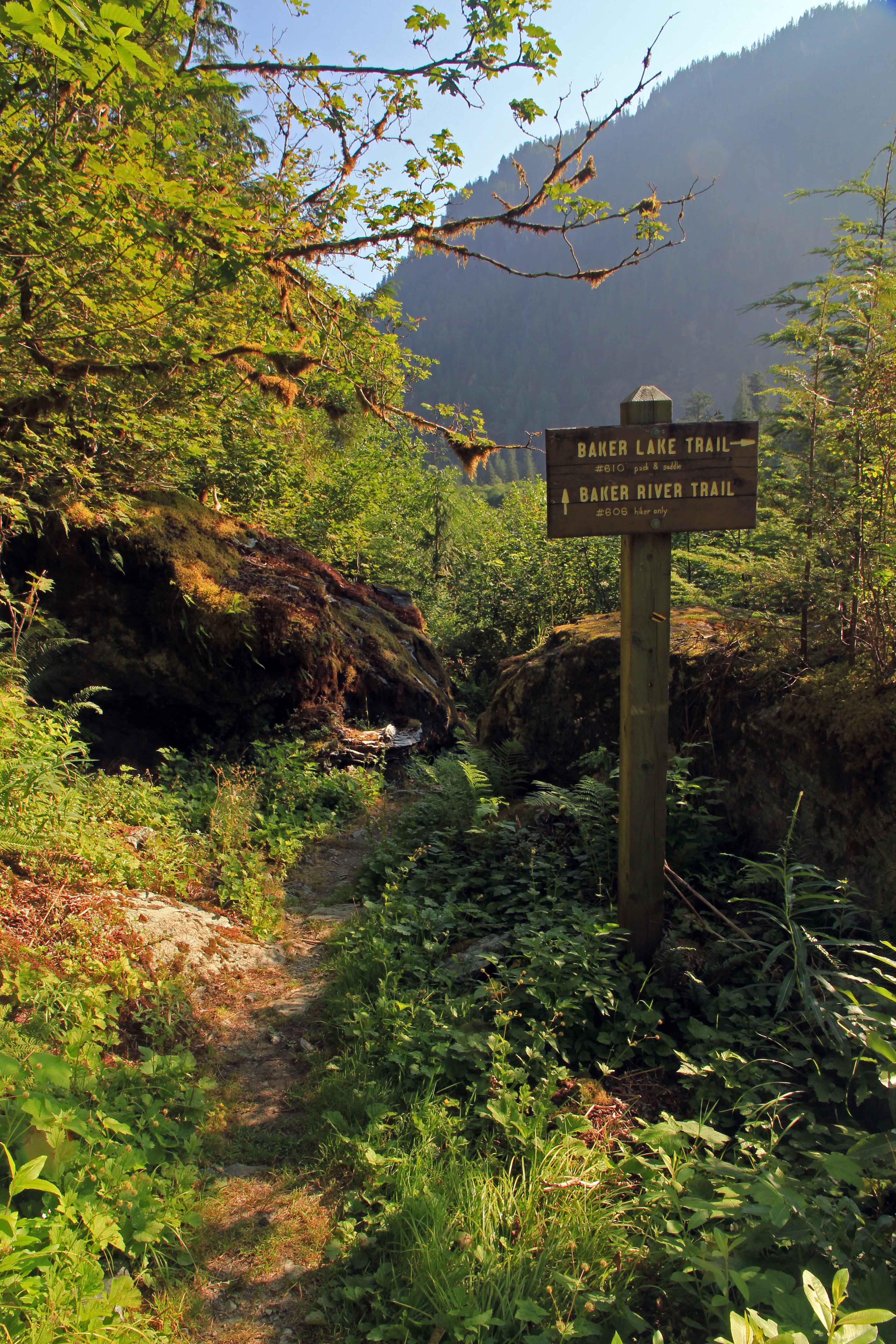
Once back at the junction we’d passed the day before my path turned upstream, headed to Hannegan Pass to complete the loop. Fording the Chilliwack is now a more daunting proposition, the valley steeper and more narrow. Hikers are afforded two choices: to ford the waist-deep waters or to pull yourself across in an aerial cable-car!
 Chilliwack Cable Car
That choice was easy1 The cable car is in great shape, holding up to two backpackers (and their gear) the pulley system makes it easy to make the crossing, gliding 100 feet above the river below.
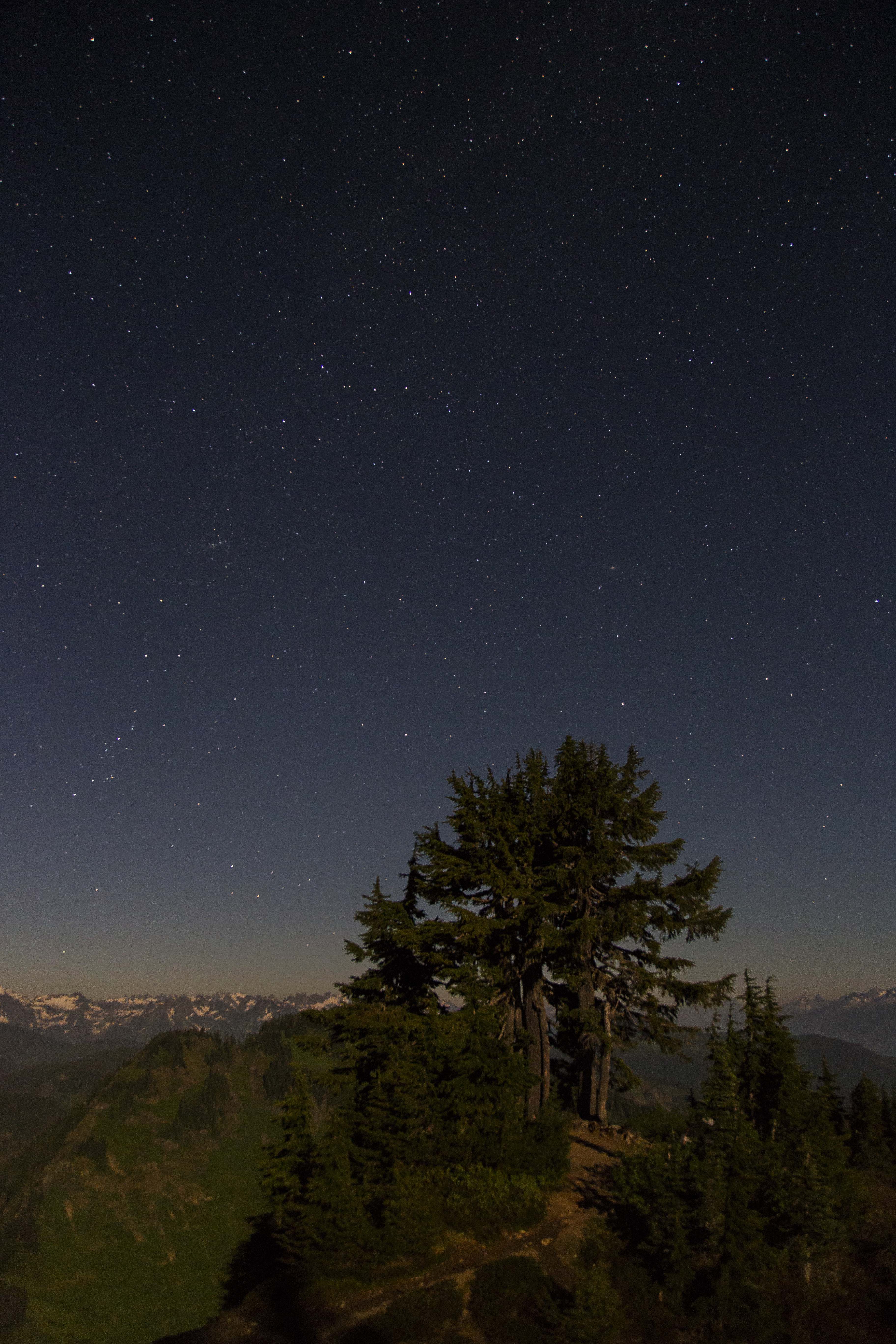
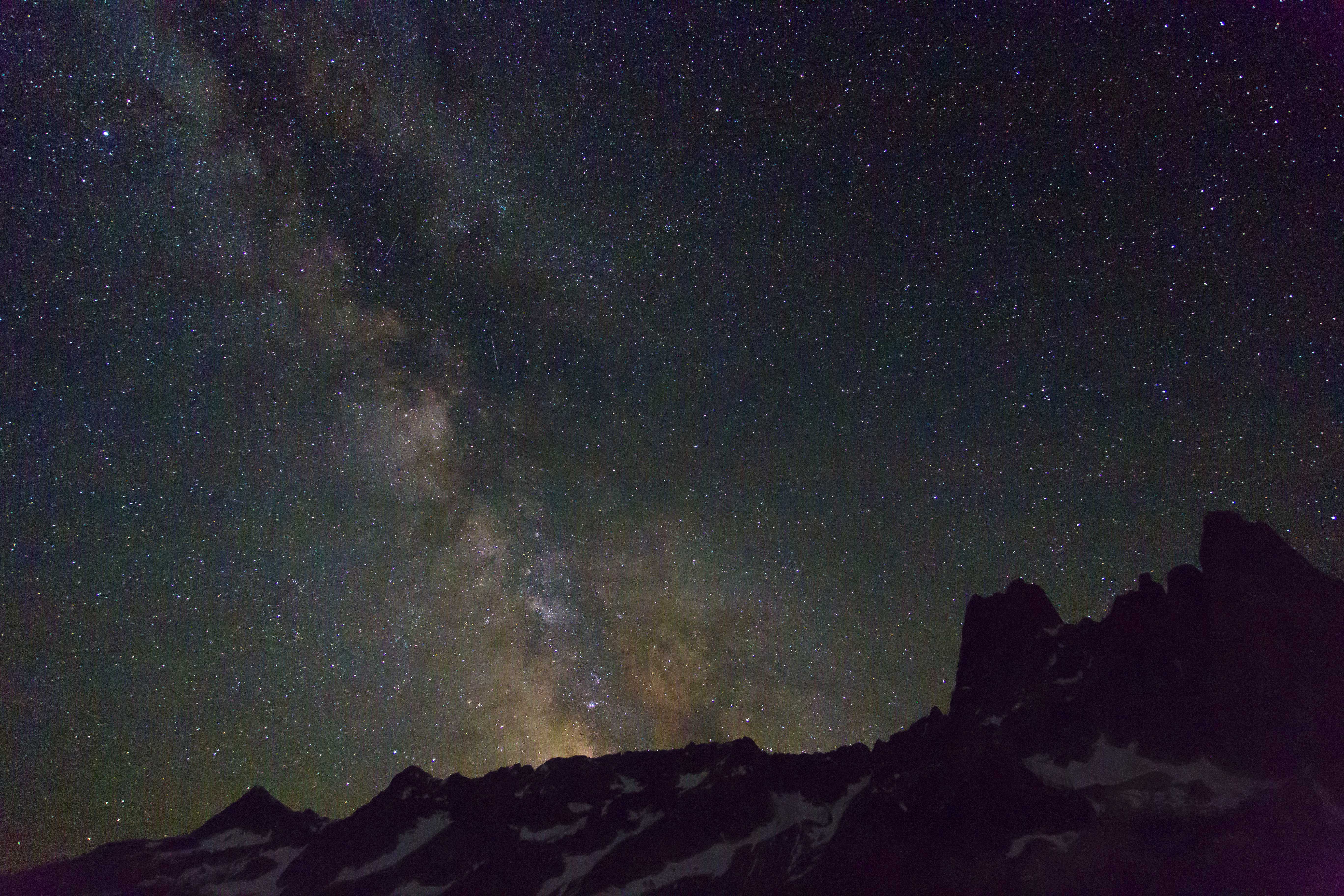
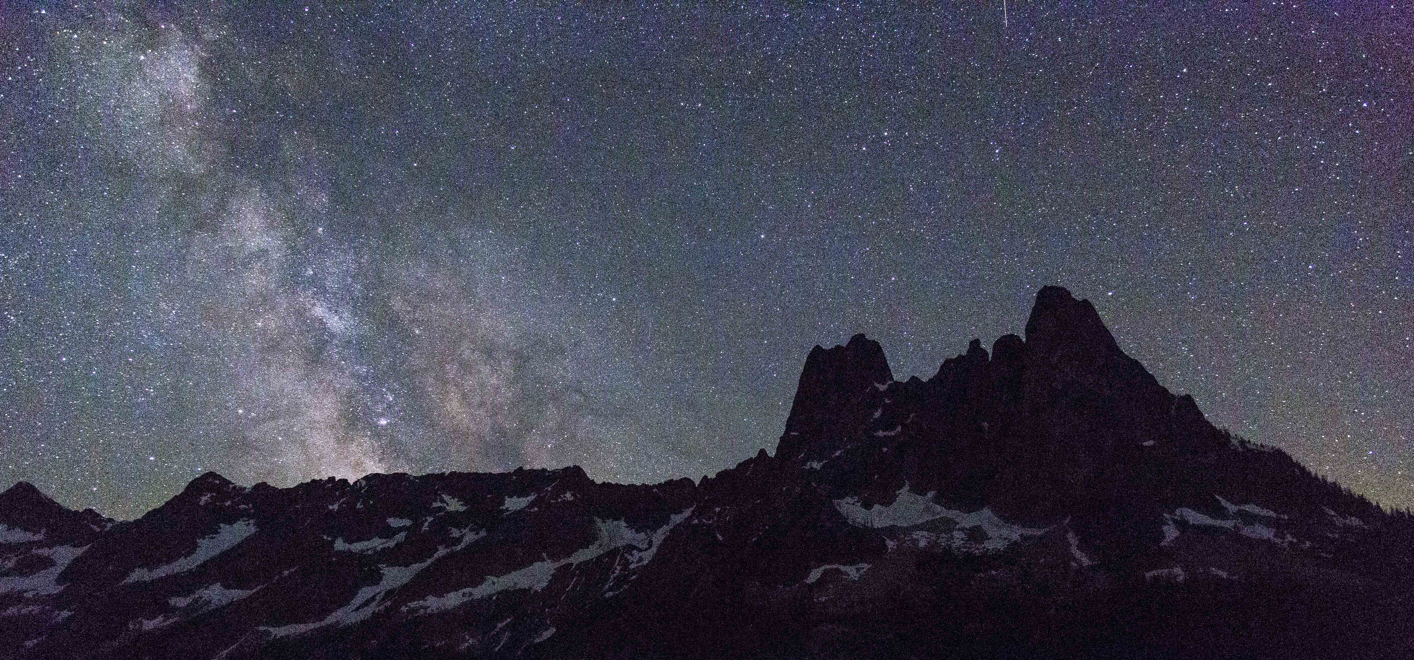
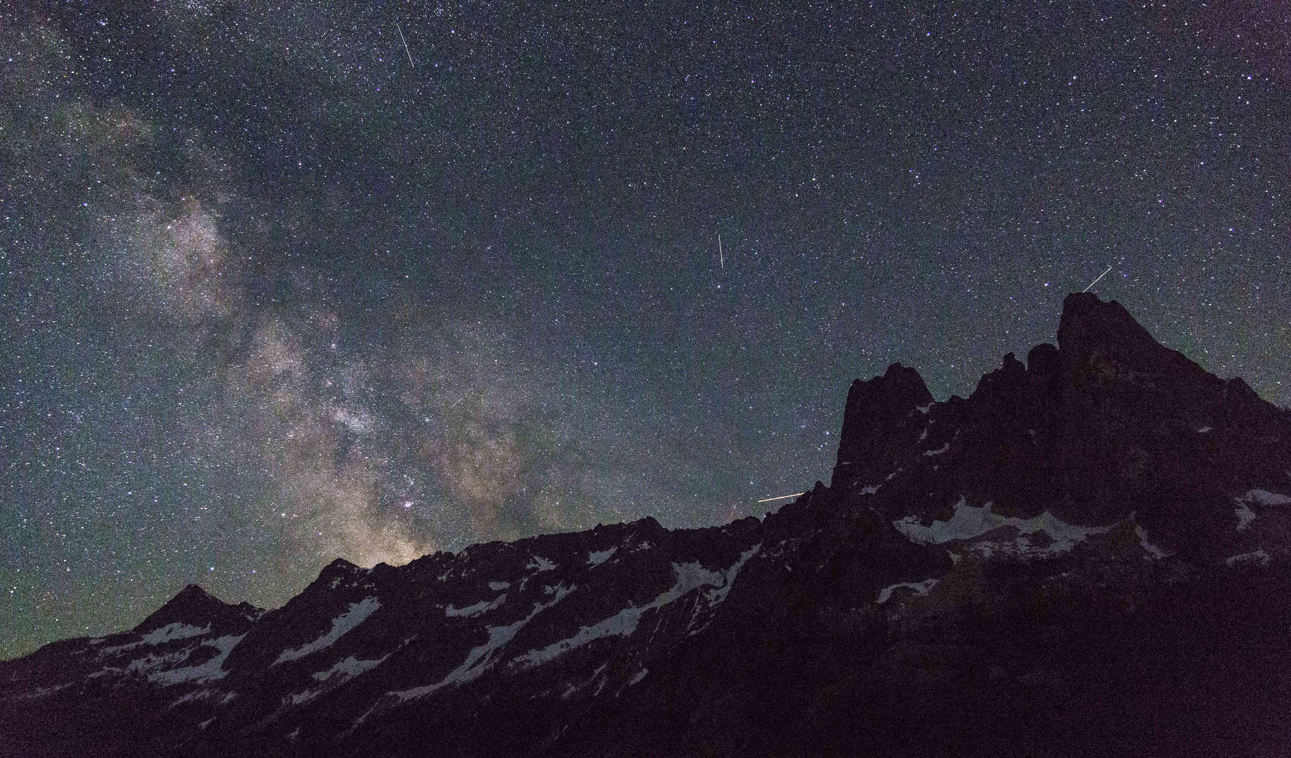
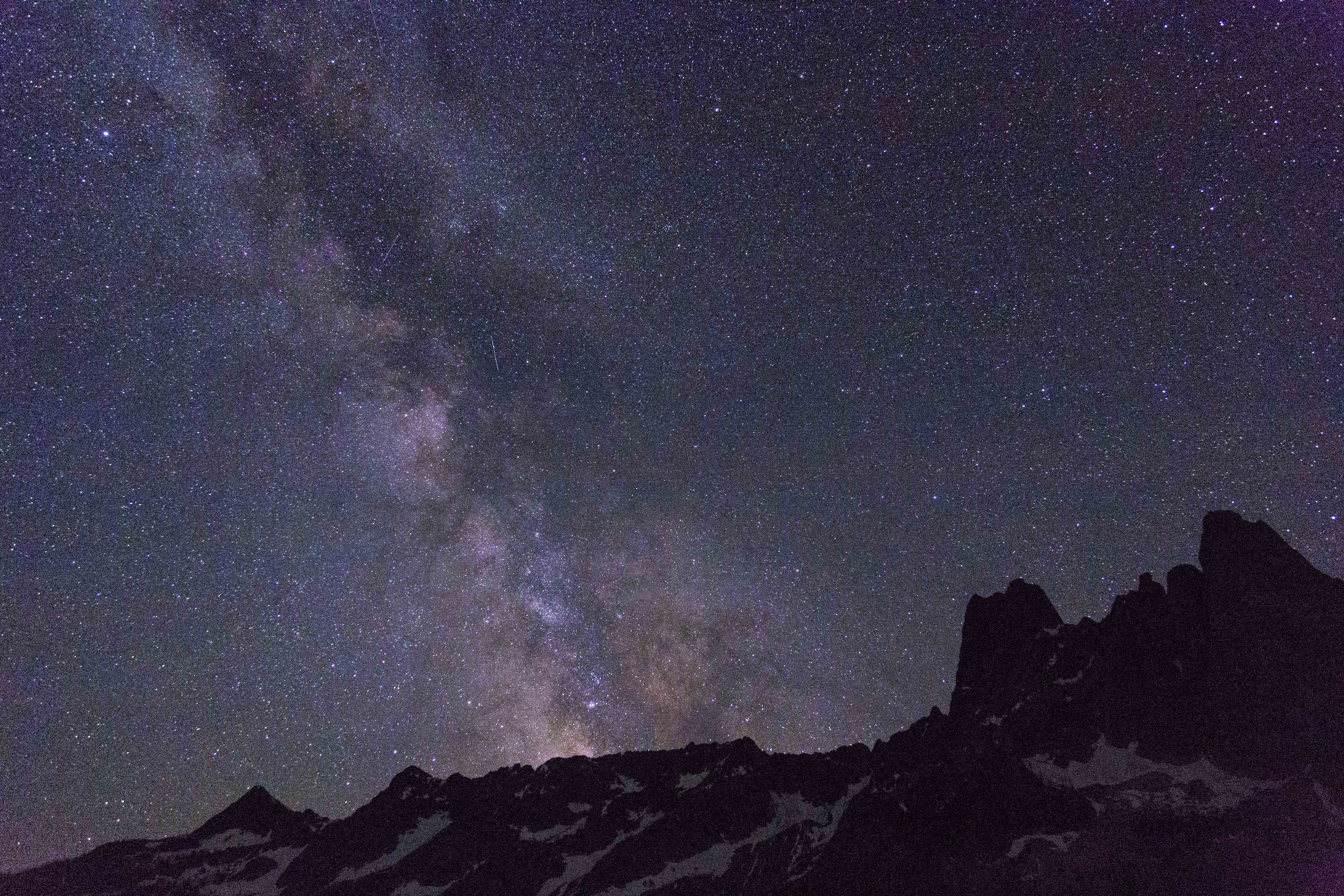
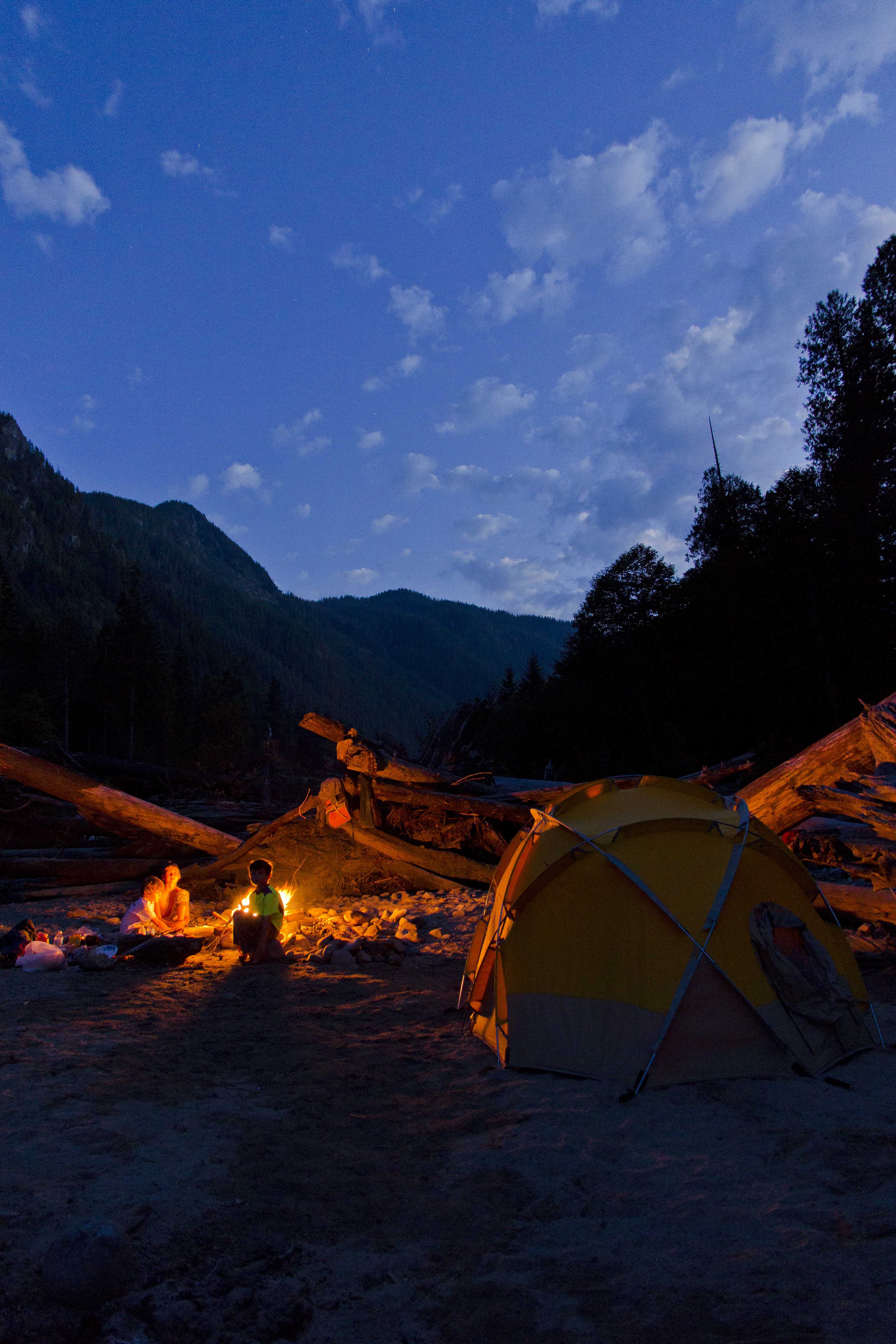
The last nights camp was at the Copper Creek camp, hoping to get a glimpse of meteors above we perched ourselves on the stones with w pie-sliced view of the heavens.
 Stars along the Chilliwack River
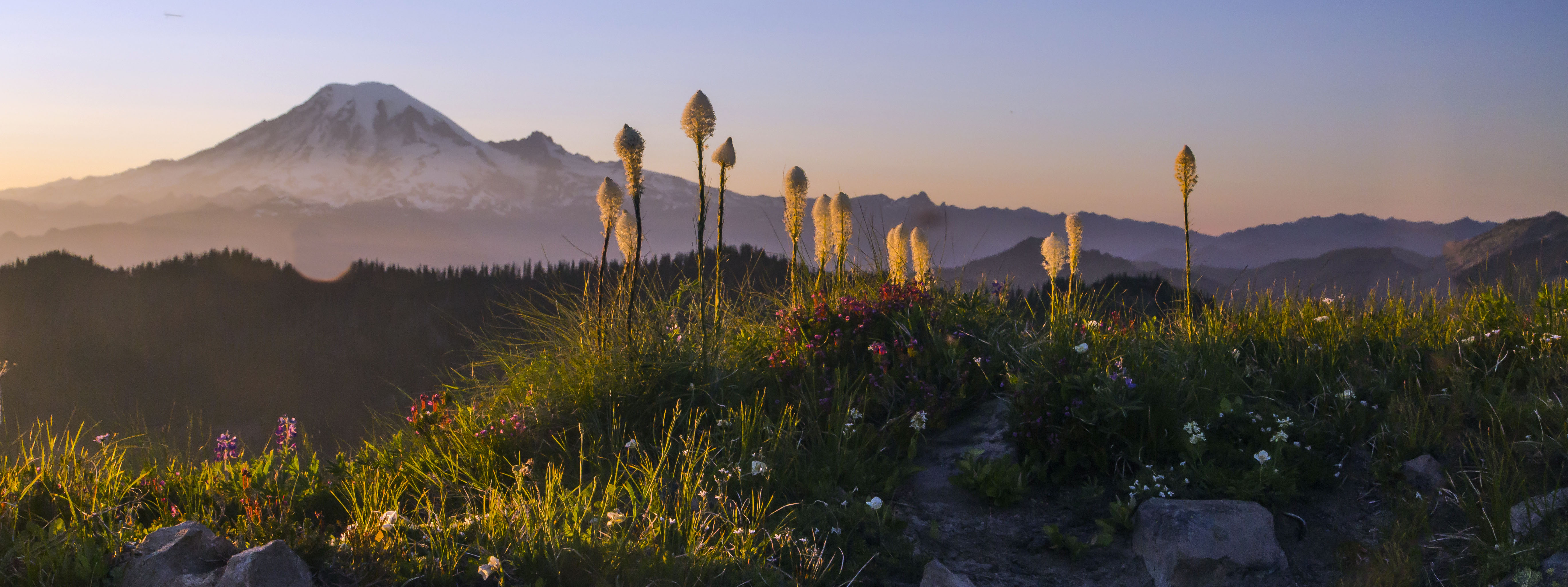
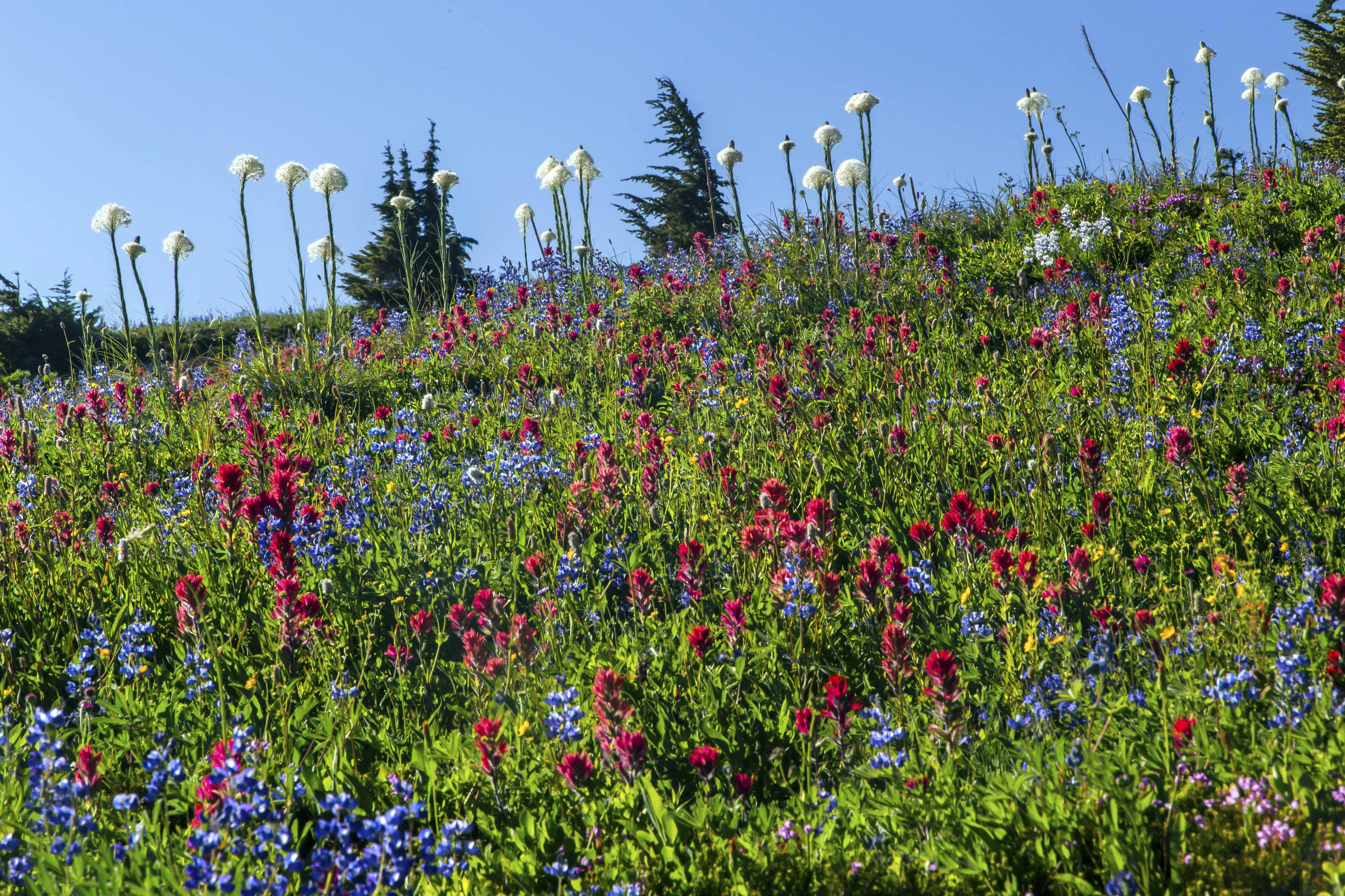
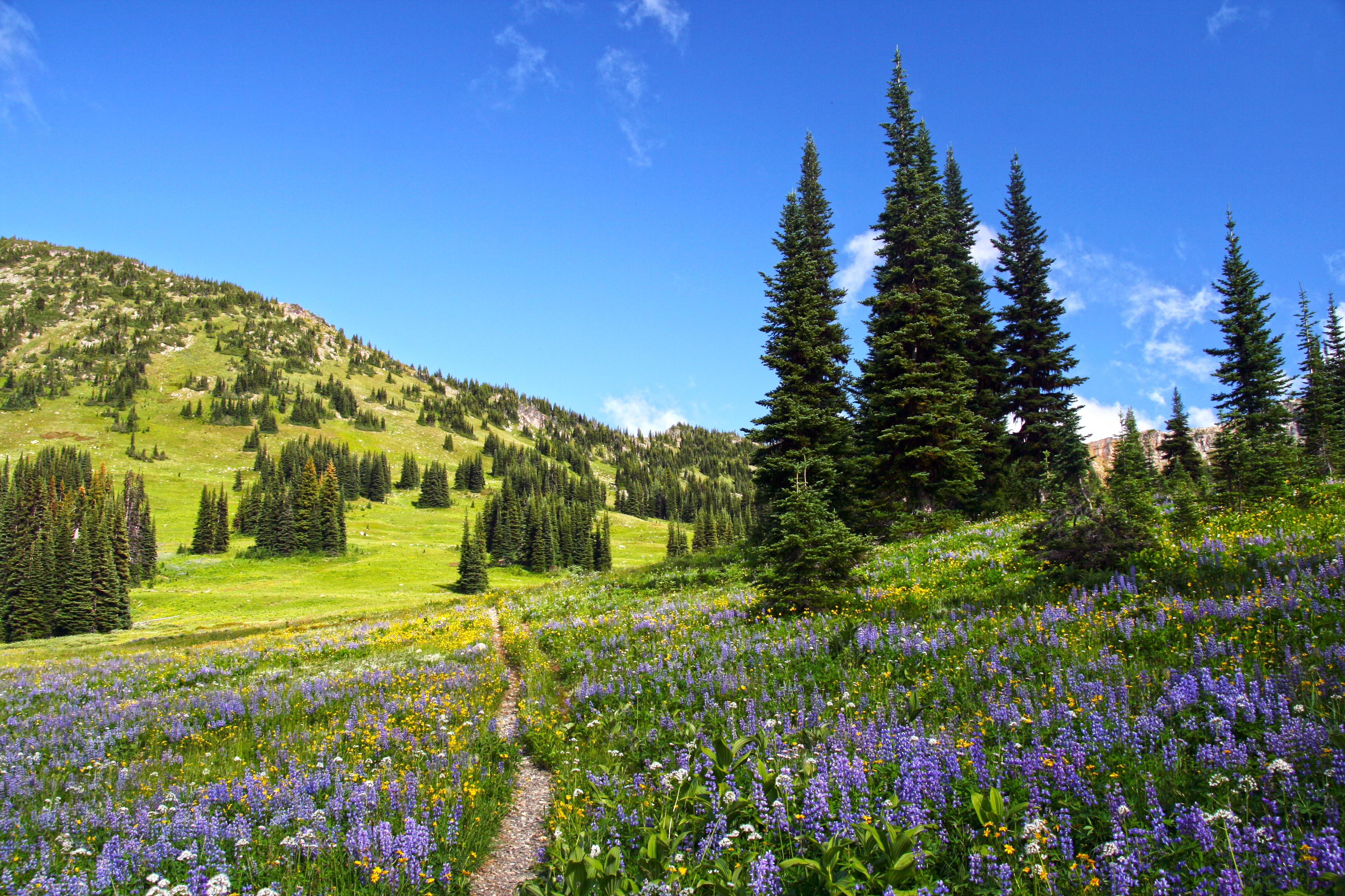
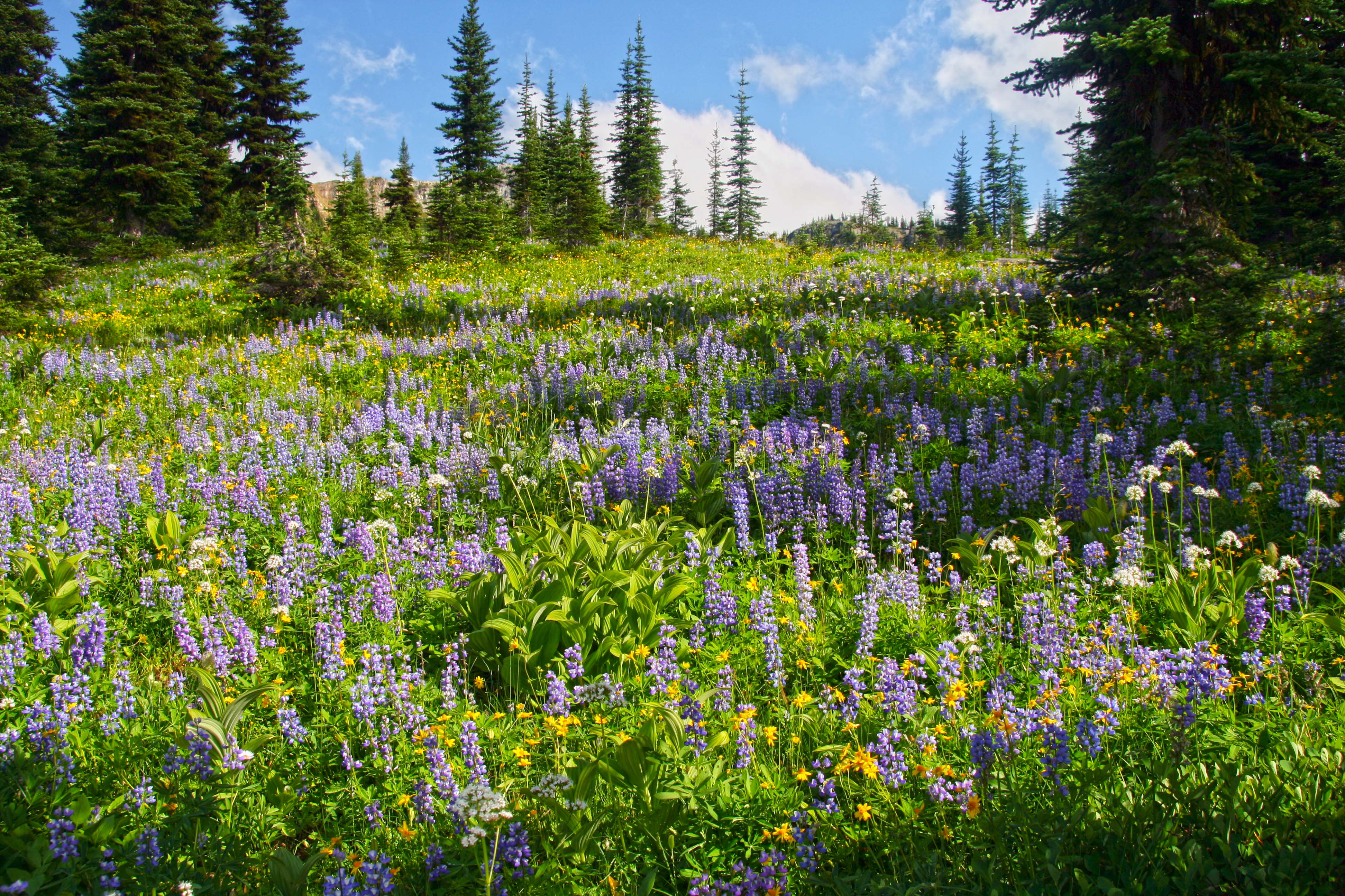
The last days hike up and over Hannegan Pass and back to the car was completed before lunch, the trails edge bordered with a carpet of herbaceous wildflowers.
As always my feelings are mixed at trips end: relief at the prospect of real food, a warm shower, soft bed and time off my throbbing feet but as we jump in the car for the drive back my heart is already longing for the cool, clear waters of the Chilliwack…
 Copper Ridge Panorama
 Mountain Goat at Sahale Camp, North Cascades National Park
 Mountain Goat at Sahale Camp, North Cascades National Park
 Visitor at Sahale Glacier Camp, North Cascades National Park
 Goat on Sahale Arm North Cascades National Park
 Bear at Horseshoe Basin, North Cascades National Park
 Bear at Horseshoe Basin, North Cascades National Park
 Bear at Horseshoe Basin, North Cascades National Park
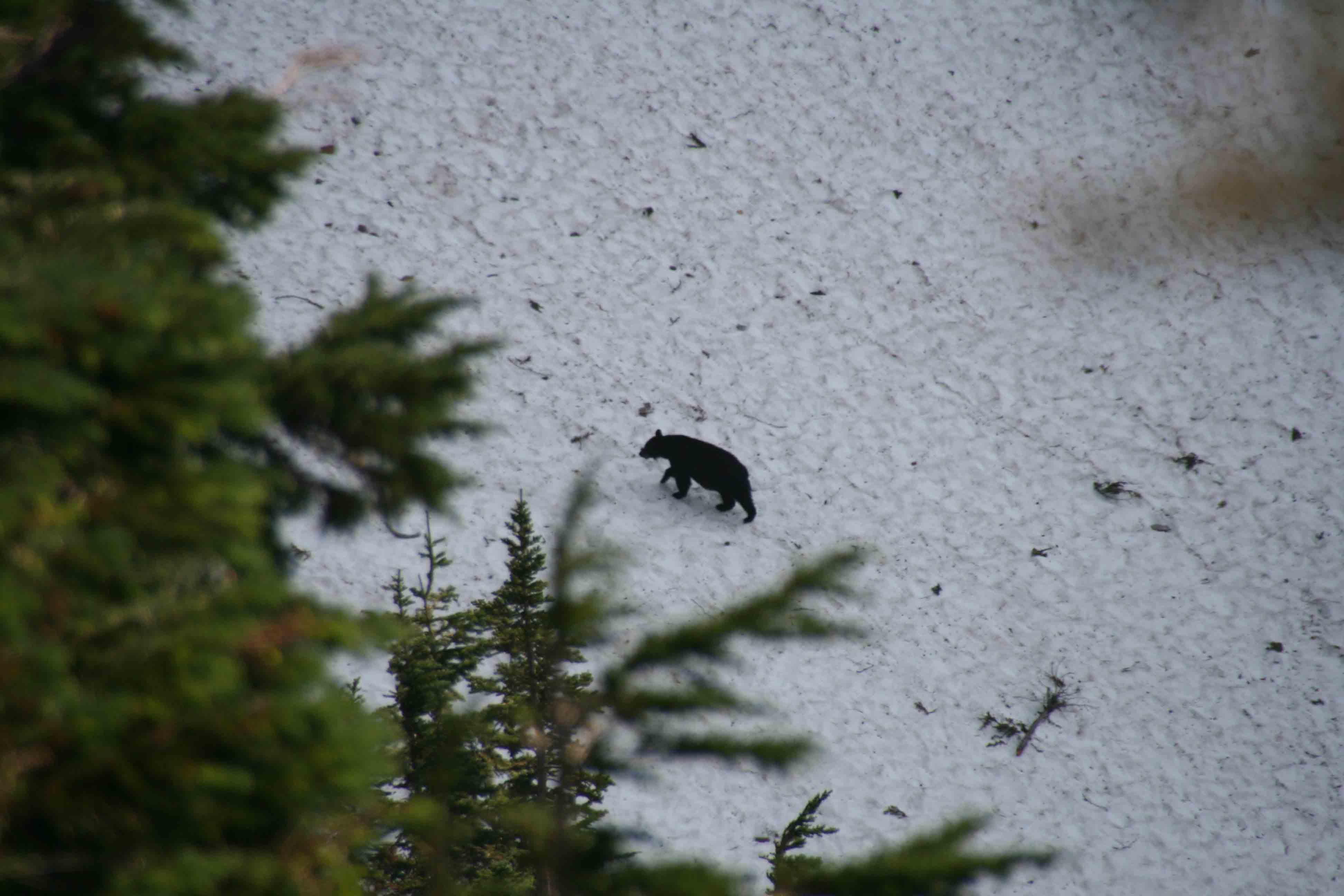 Bear crossing Park Creek Pass, North Cascades National Park
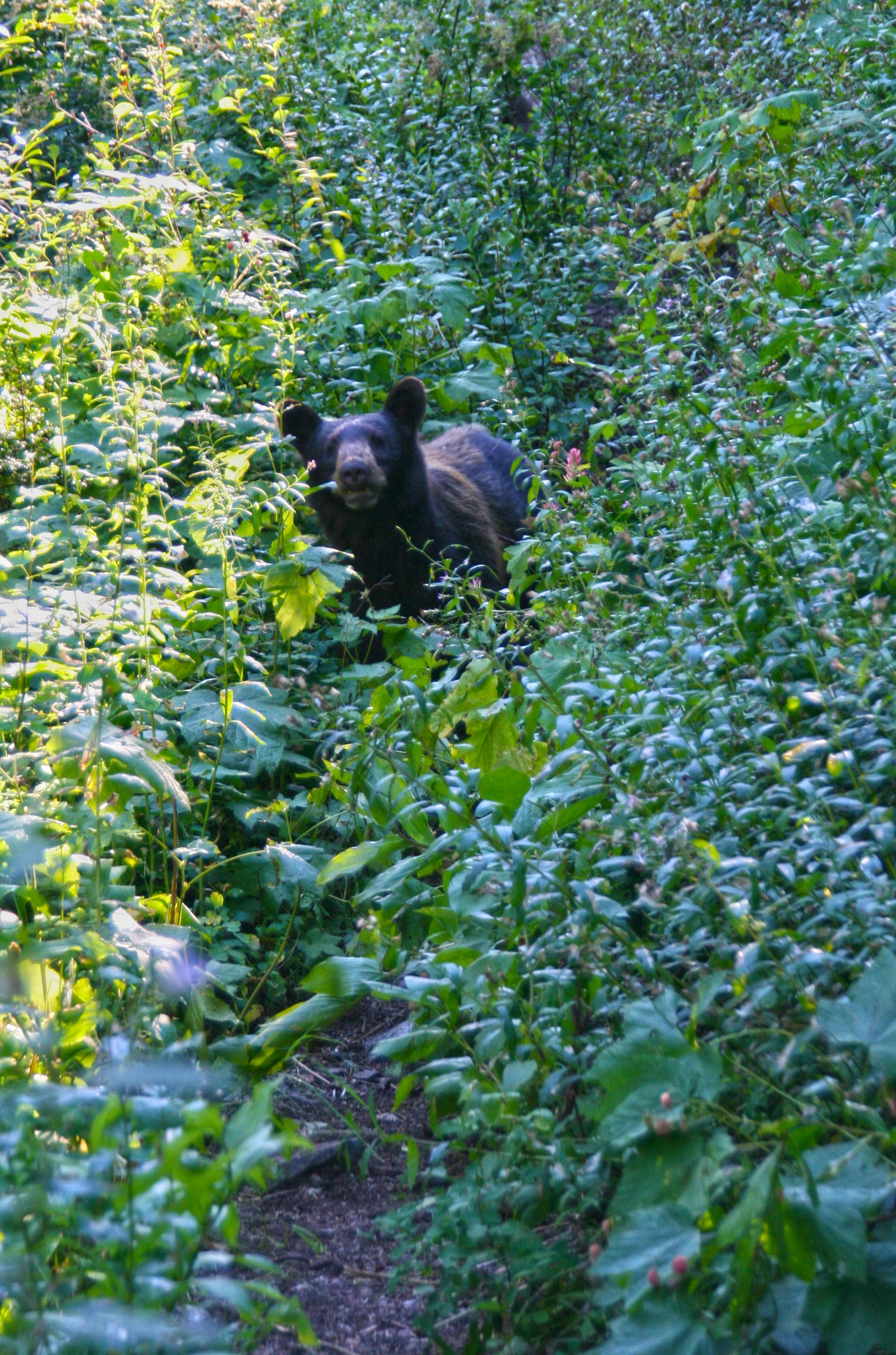 Black Bear on the Pacific Crest Trail, North Cascades National Park
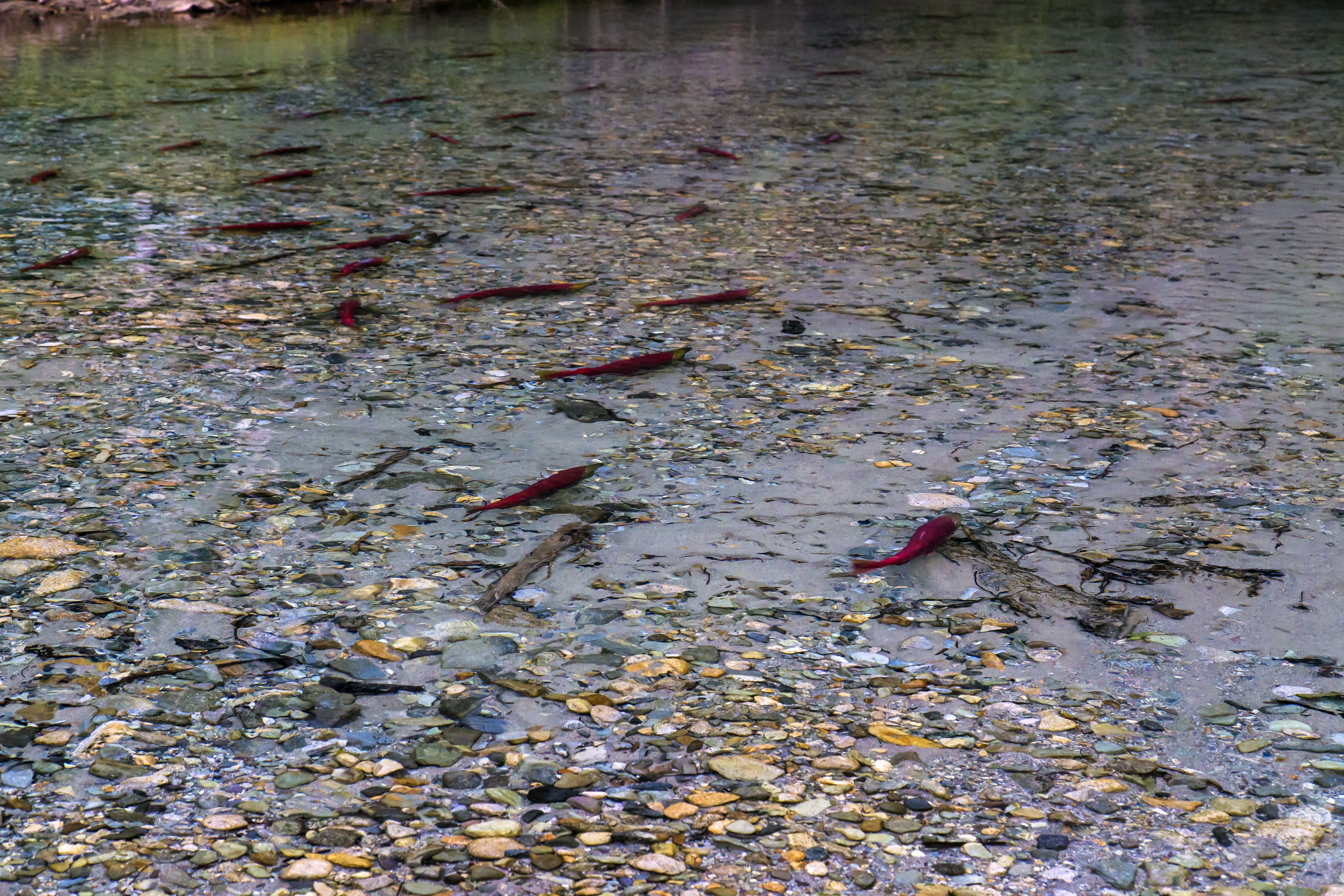 Salmon Spawning, Indian Creek, North Cascades National Park
 Salmon Spawning, Indian Creek, North Cascades National Park
 Salmon Spawning, Indian Creek, North Cascades National Park
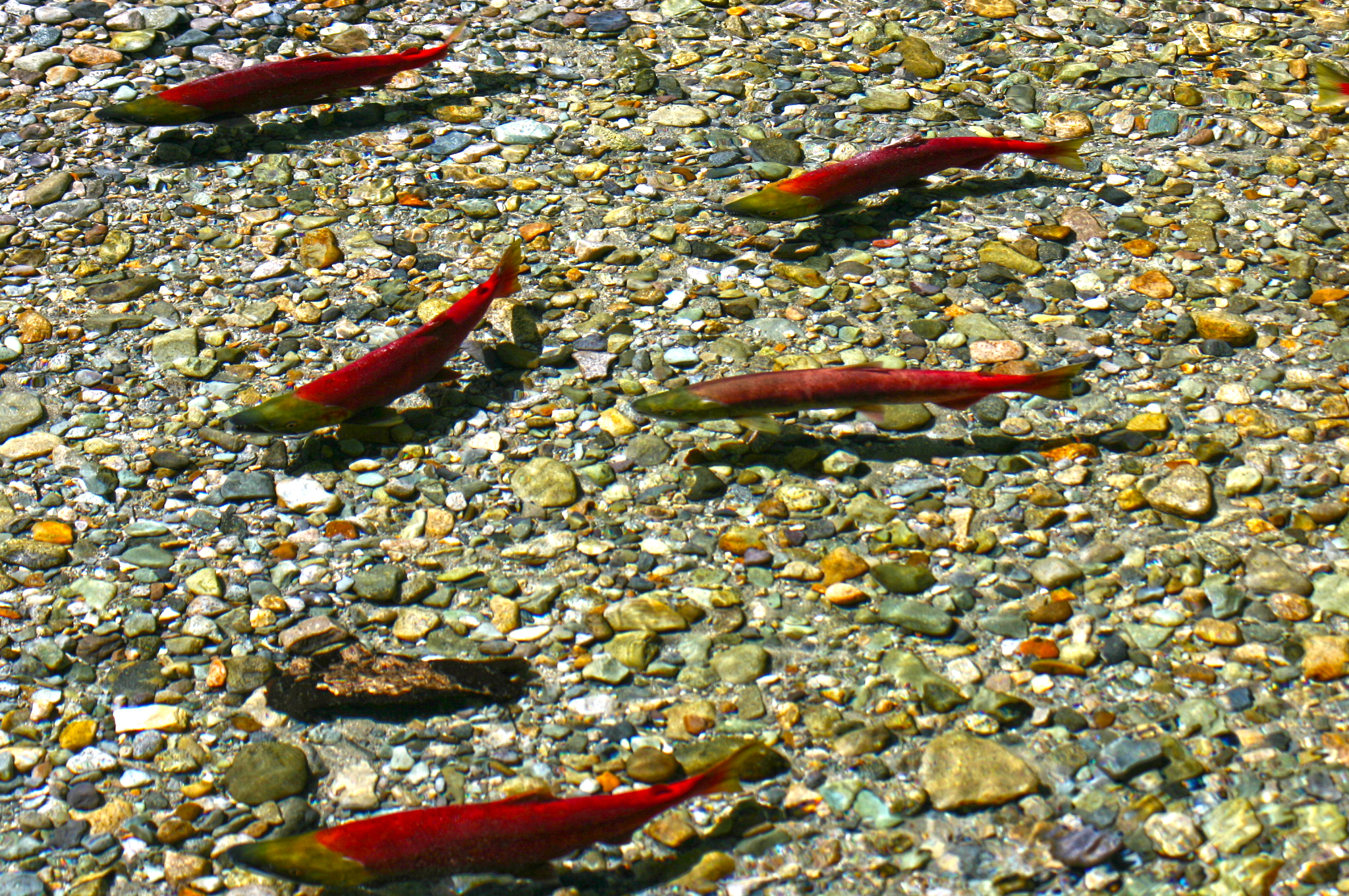 Salmon Spawning, Indian Creek, North Cascades National Park
 Salmon Spawning, Indian Creek, North Cascades National Park
 Salmon Spawning, Indian Creek, North Cascades National Park
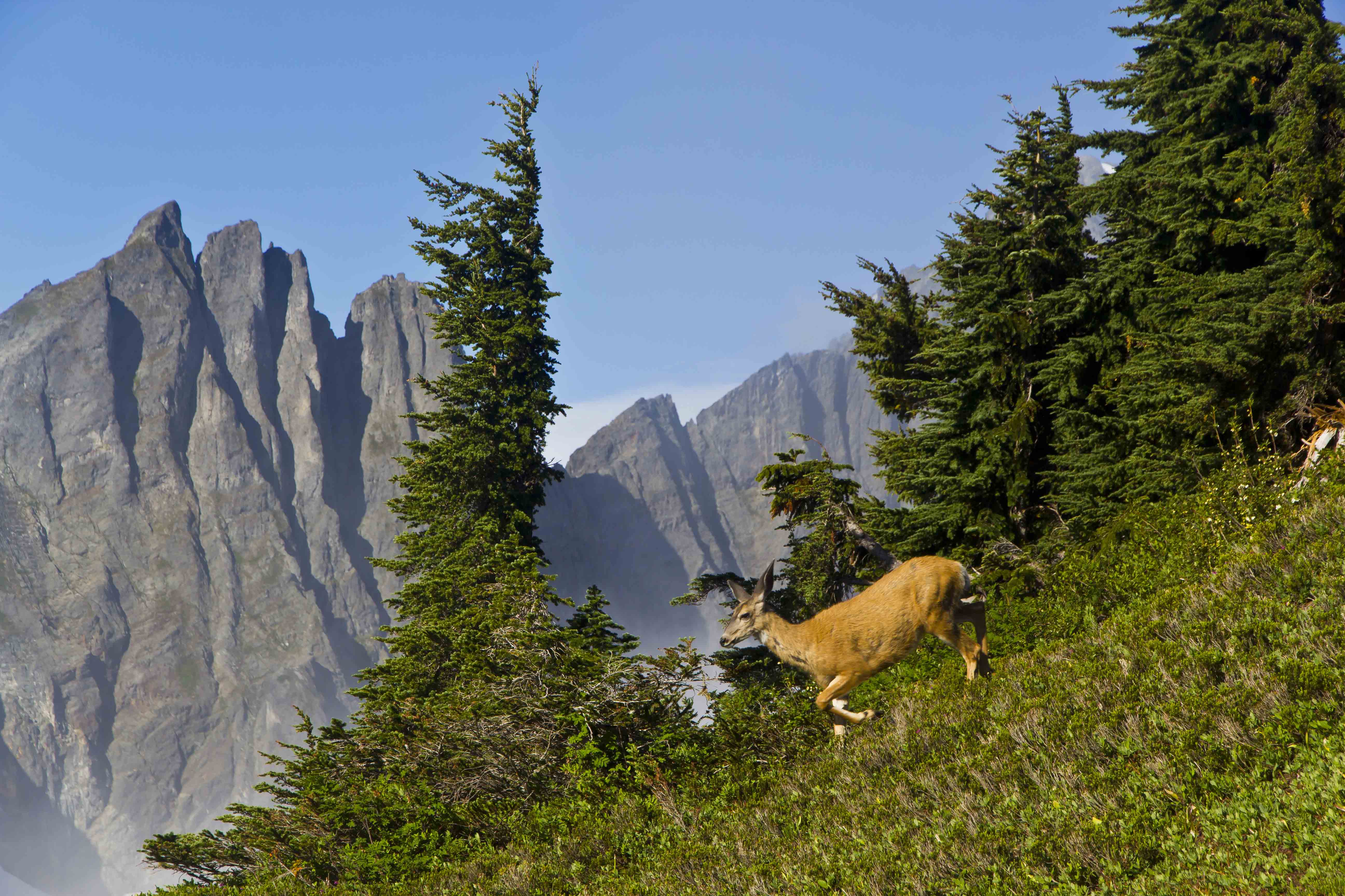 Deer, just above Cascade Pass, North Cascades National Park
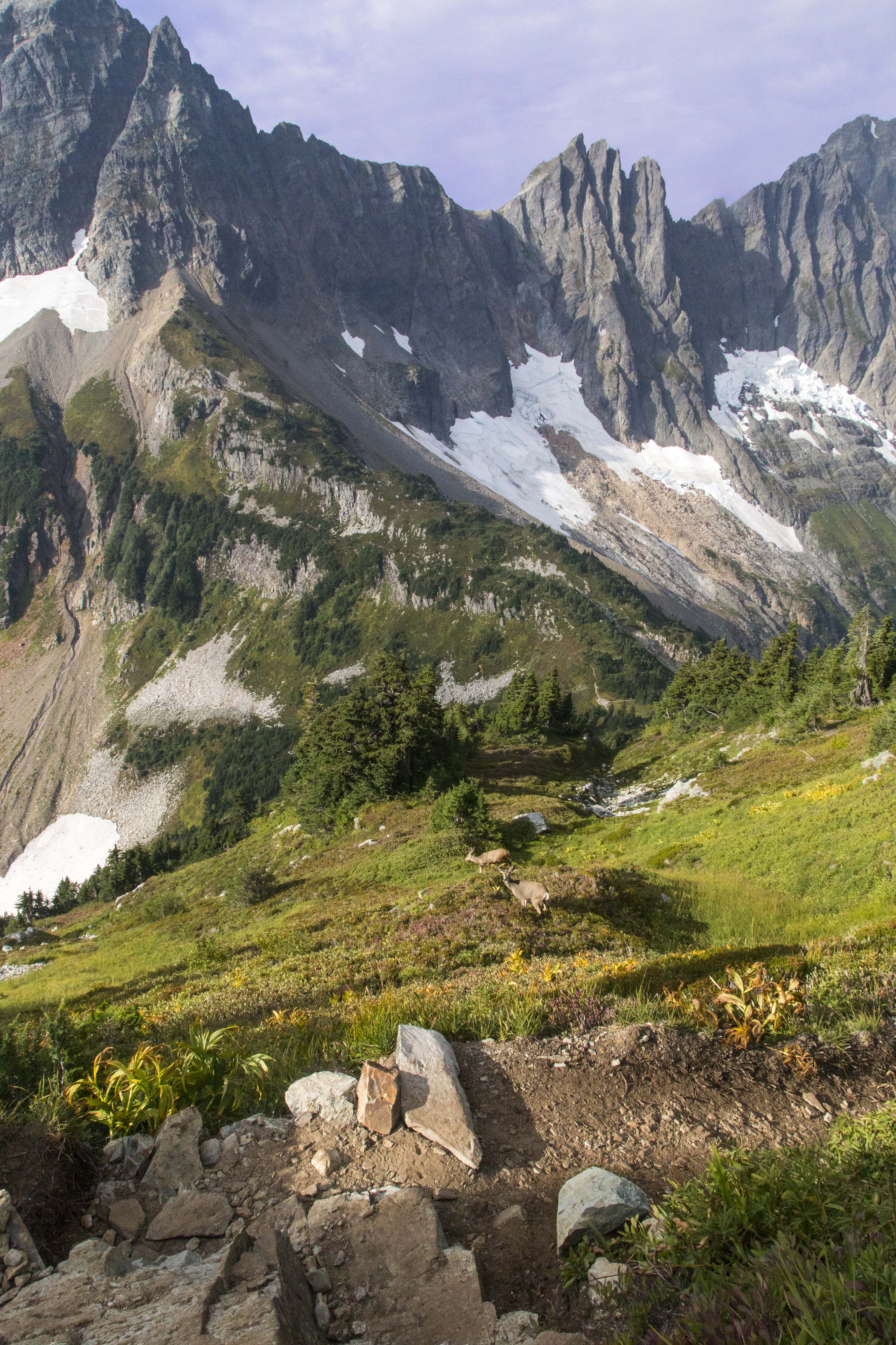 Deer, just above Cascade Pass, North Cascades National Park
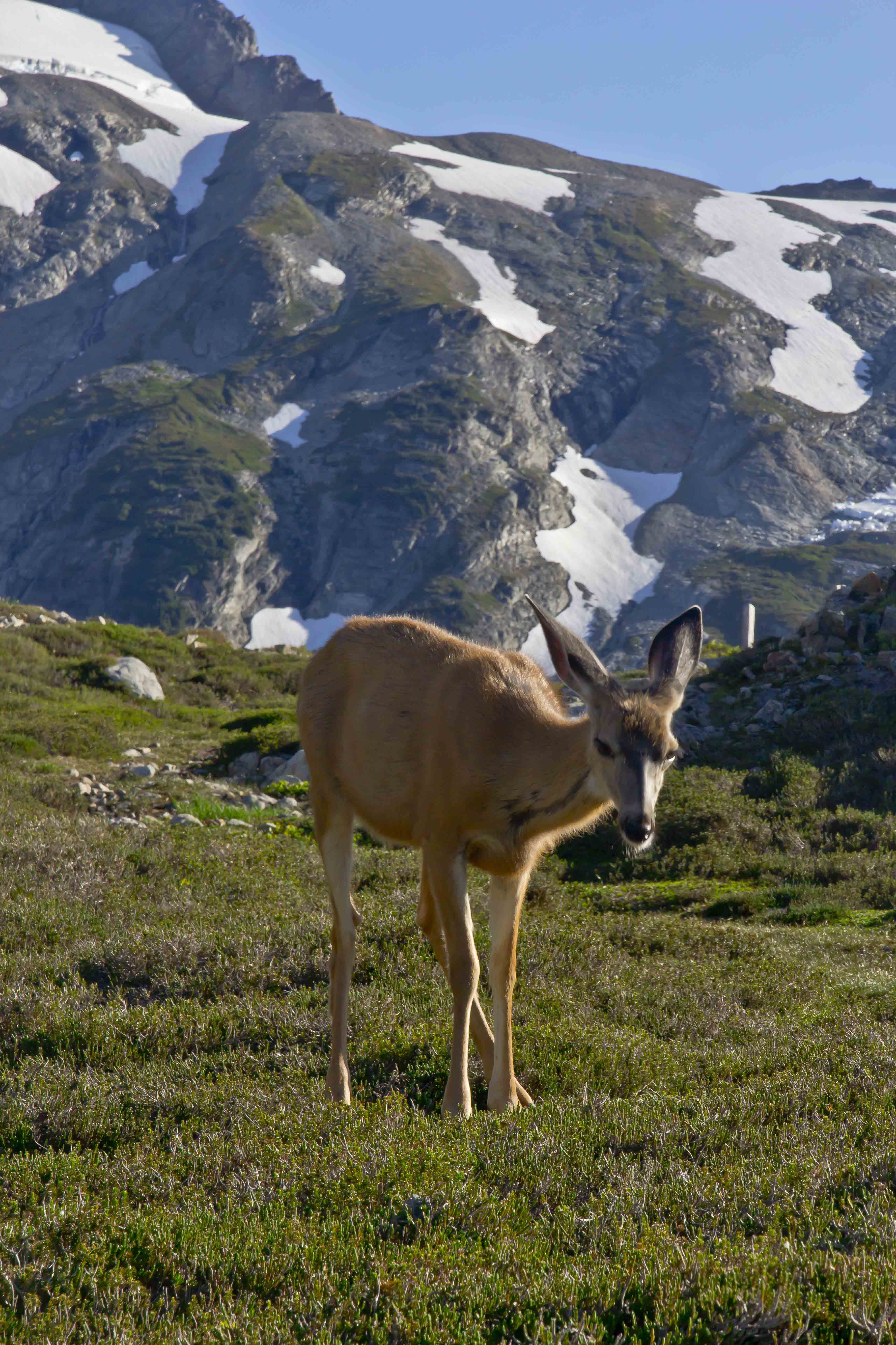 Deer, just above Cascade Pass, North Cascades National Park