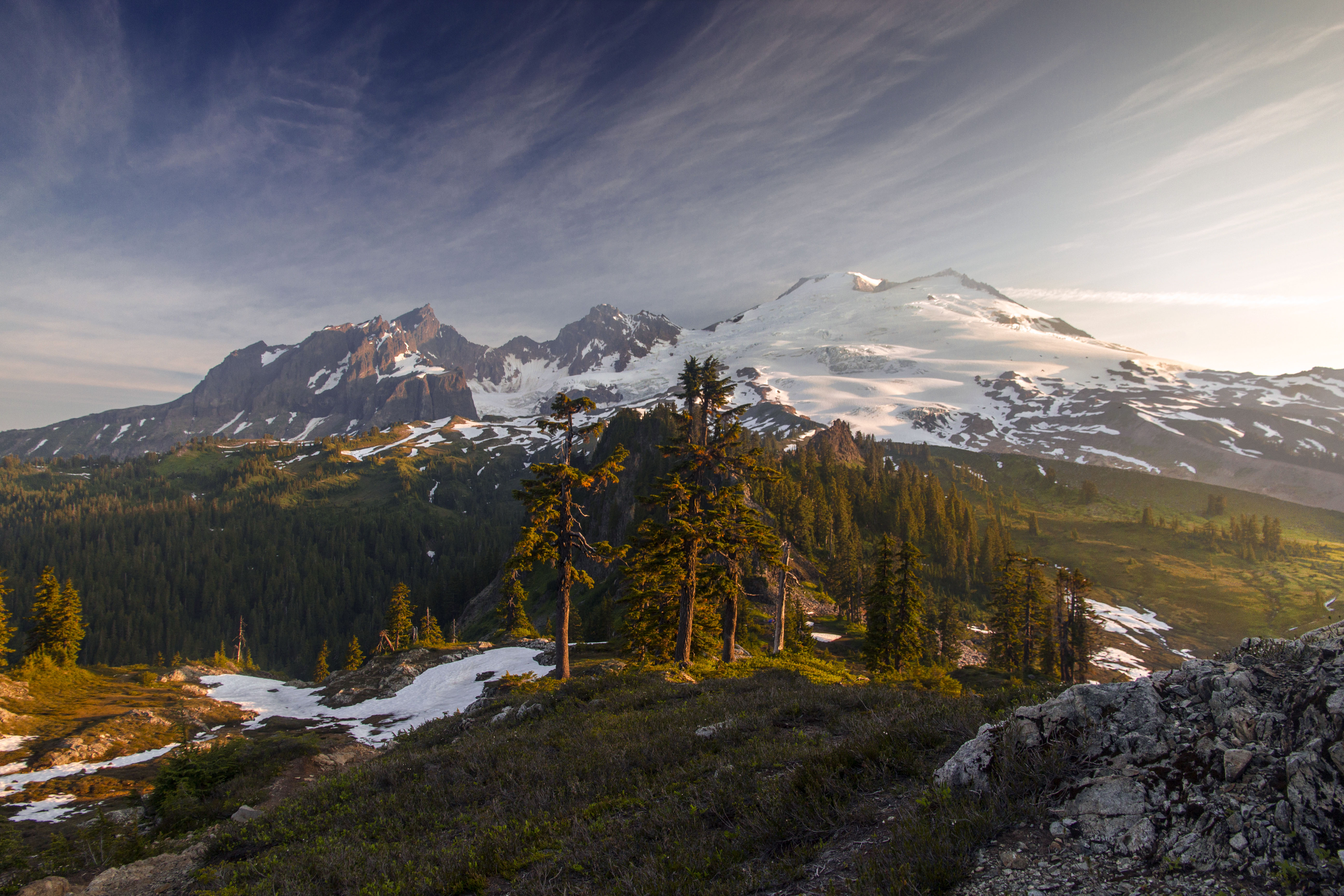
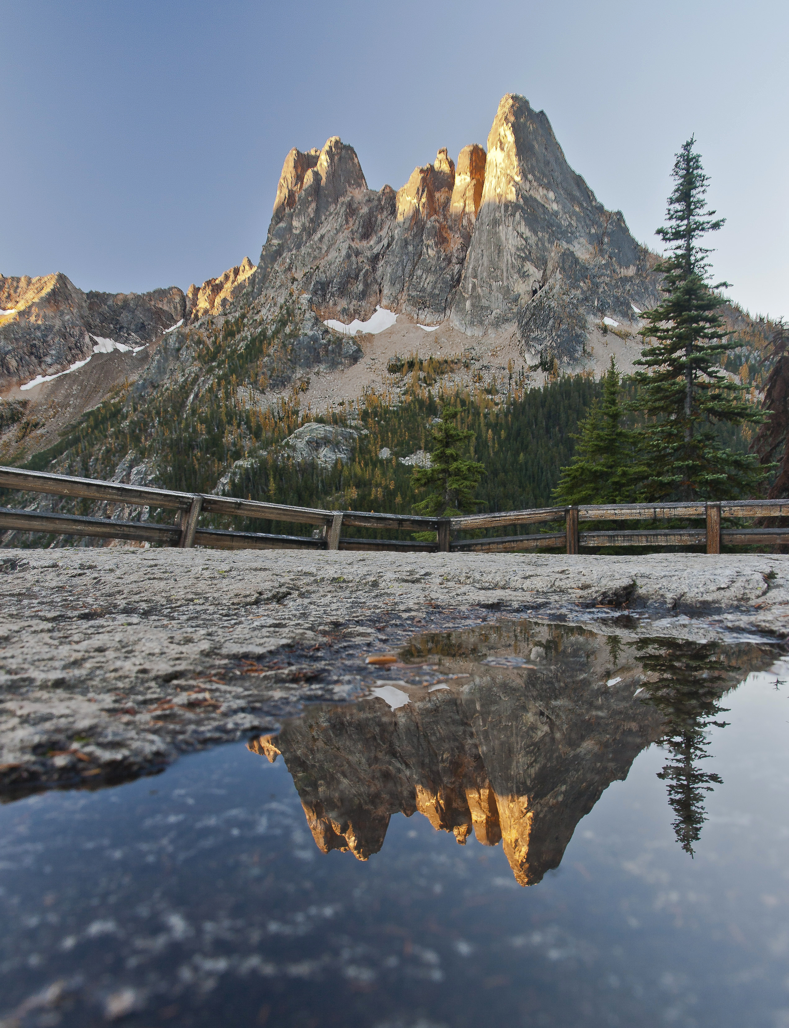
There are many fantastic destinations in North Cascades National Park. Sahale Glacier Camp is truly unforgettable. The Copper Ridge and the Chiliwack River Loop combines fantastic ridge views with deep, dark forests. North Fork Bridge Creek affords endless views of soaring peaks, waterfalls and meadows.
It’s hard to have a favorite, but if you love jagged peaks, lush meadows and exploration, Horseshoe Basin and the Black Warrior Mine can’t be beat.
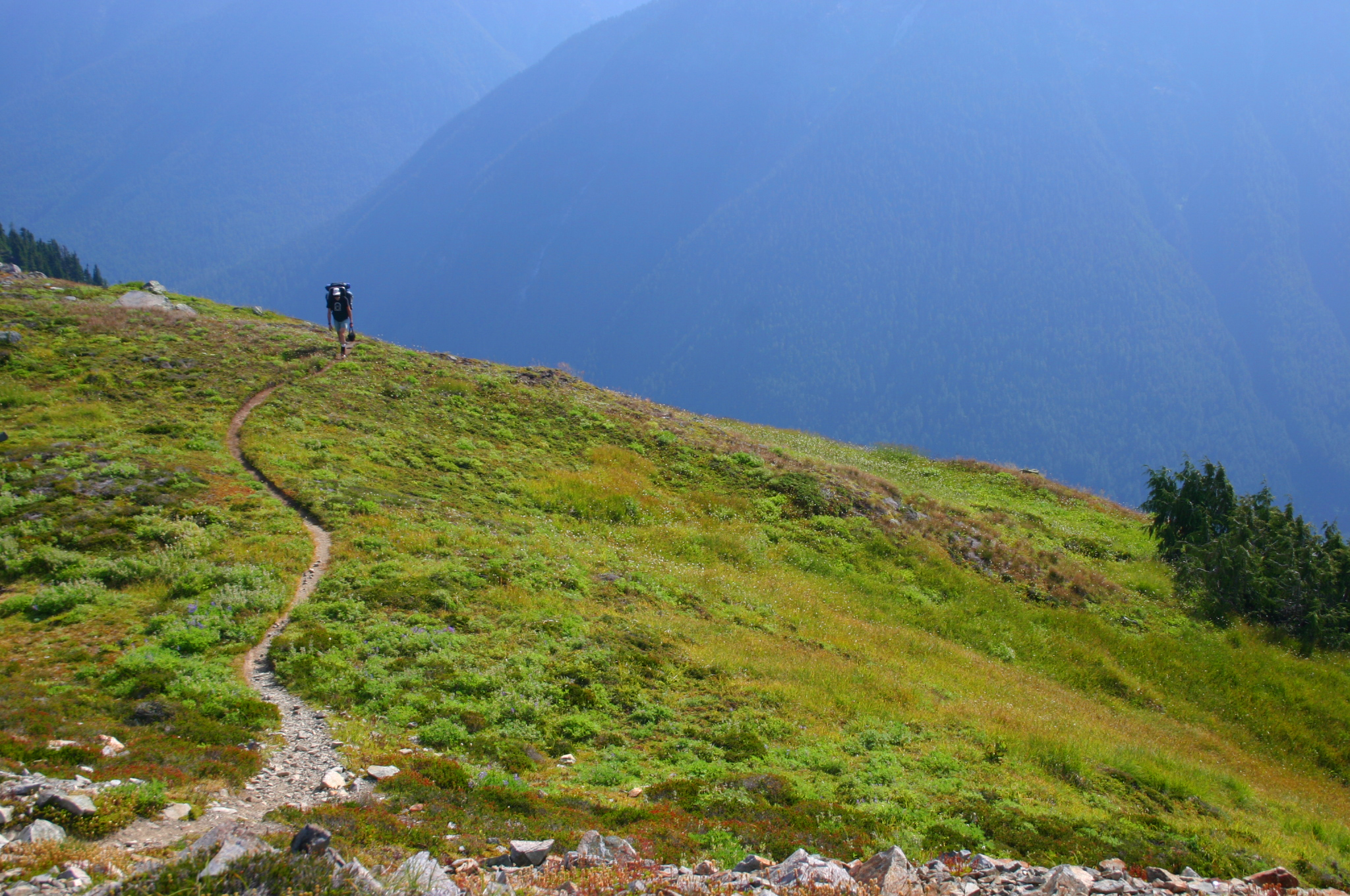
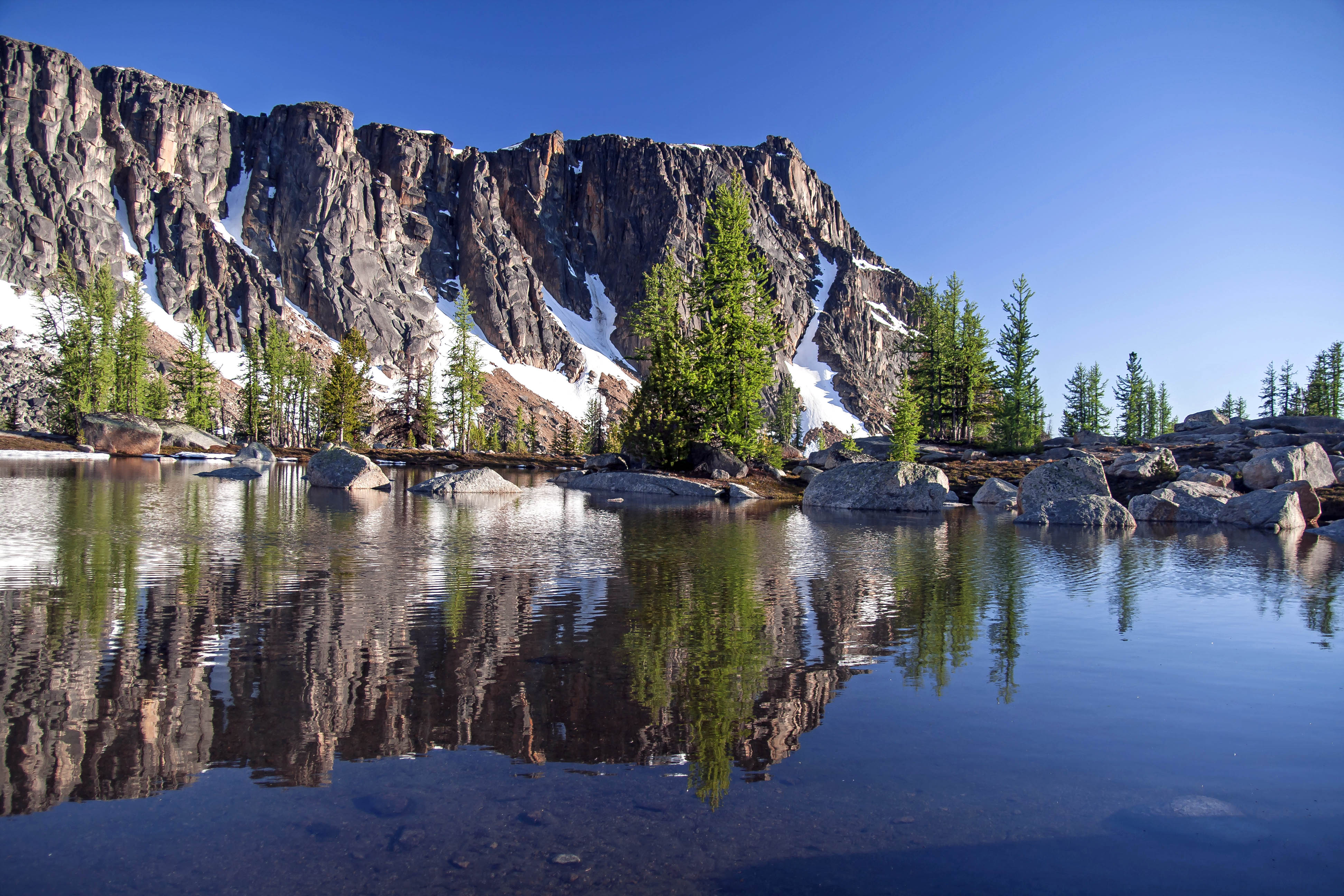
The first time I visited the Basin was in August of 2012. We hiked over Cascade Pass on a hot day and took the spur trail up the valley towards the basin and the mine.
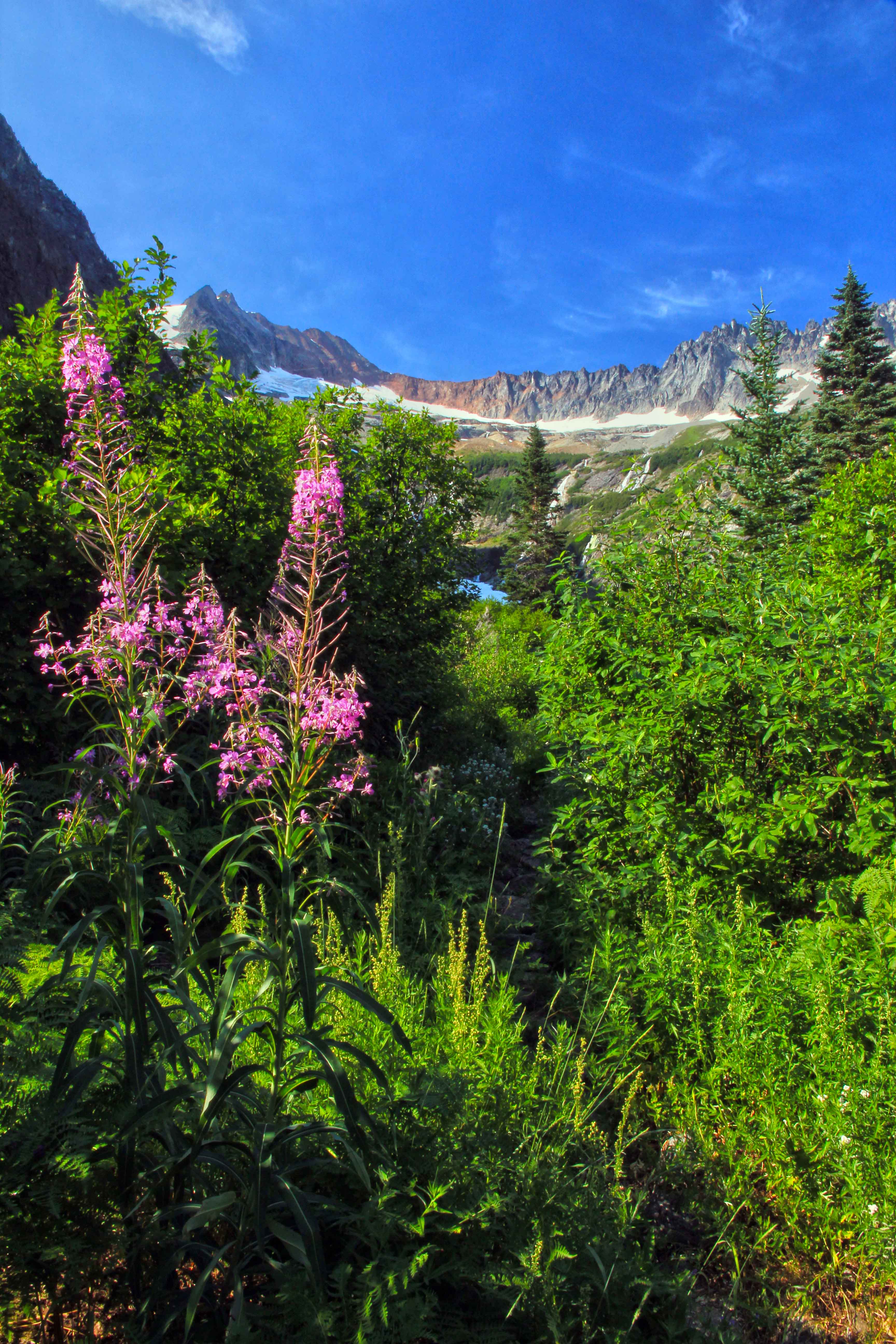
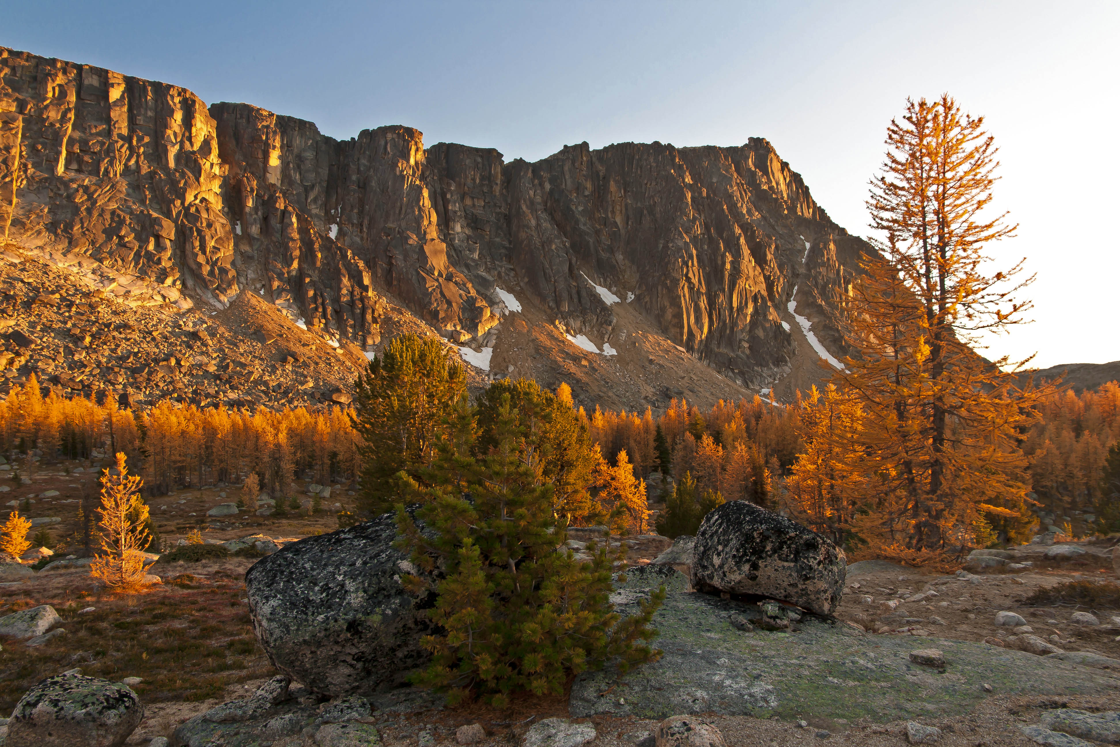
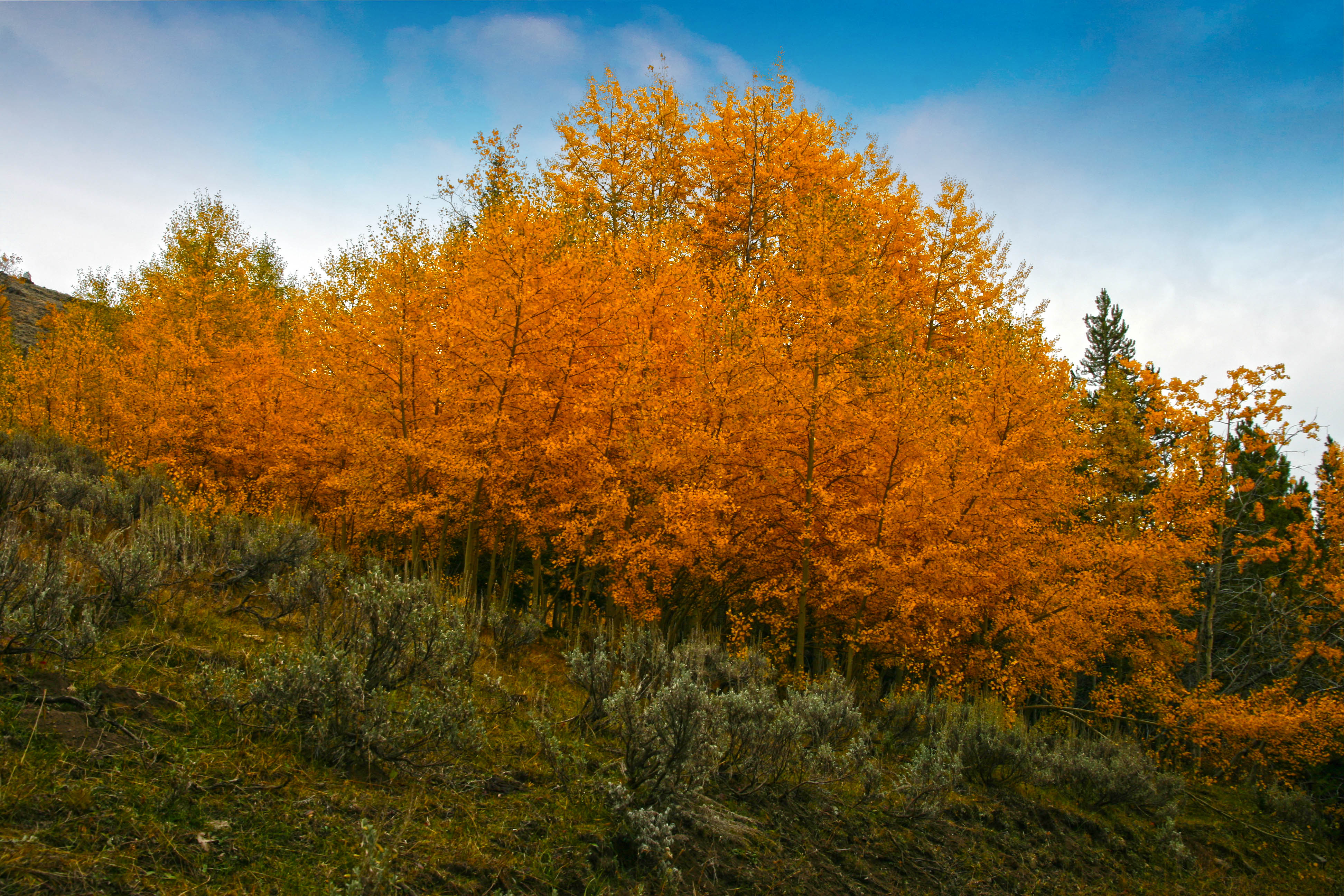
The basin was aglow in the afternoon light, orange granite spires surrounding the lip like fangs, too-numerous-to-count waterfalls glistening, their sparkling waters plunging down into the valley. There were wildflowers popping out everywhere, yellows and purples, reds and blues, all accenting the deep green of the basin floor.
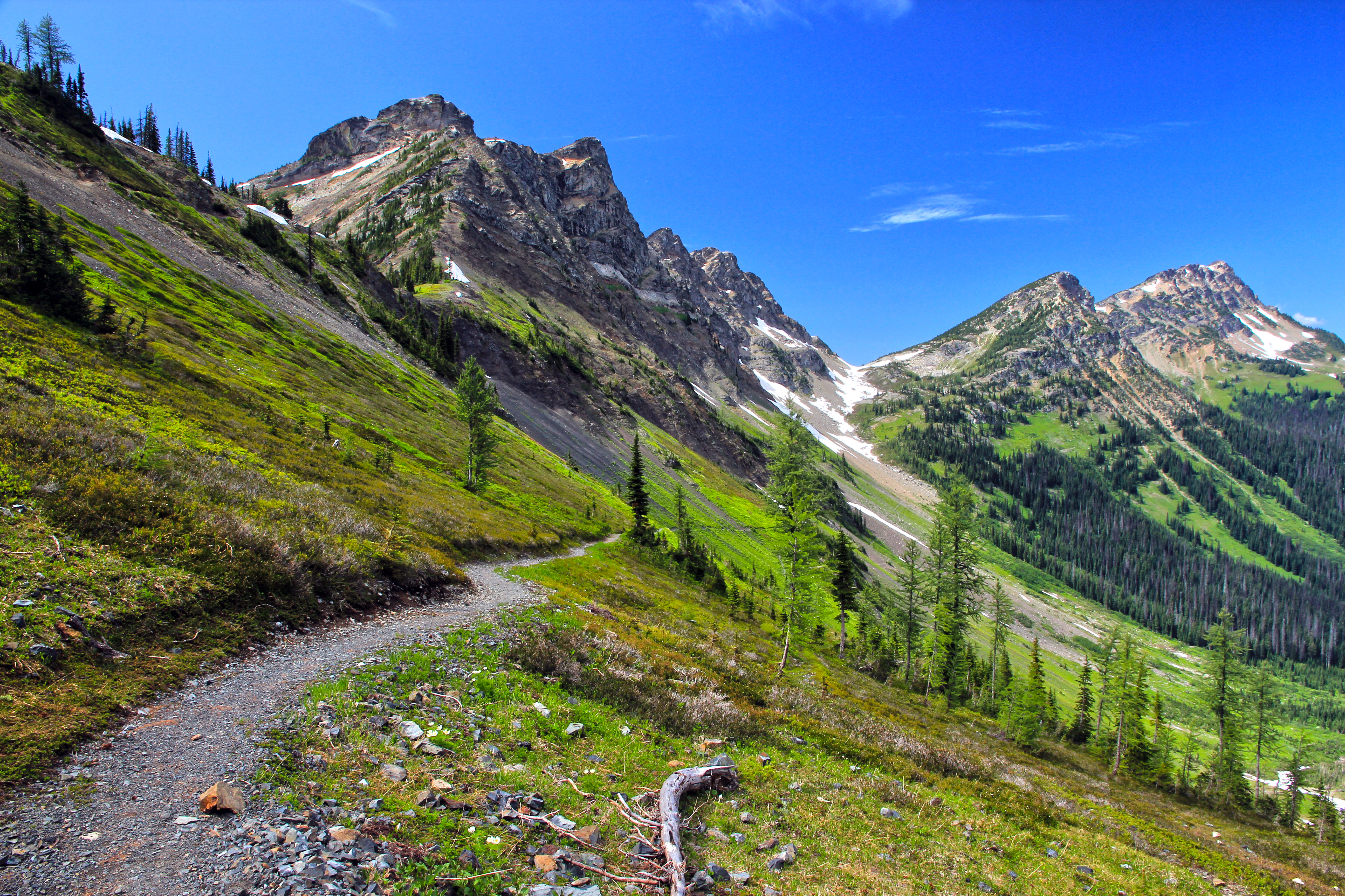
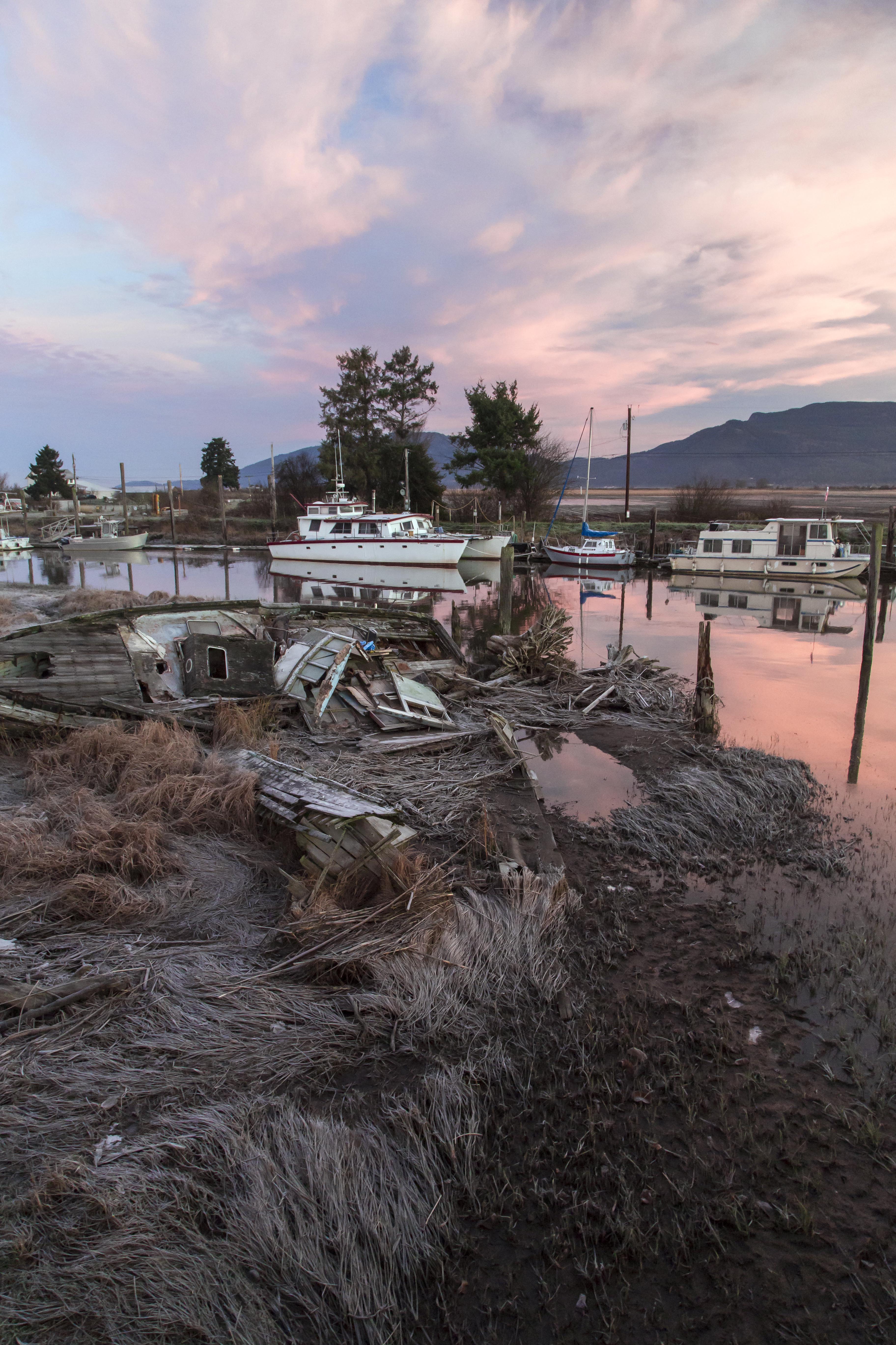
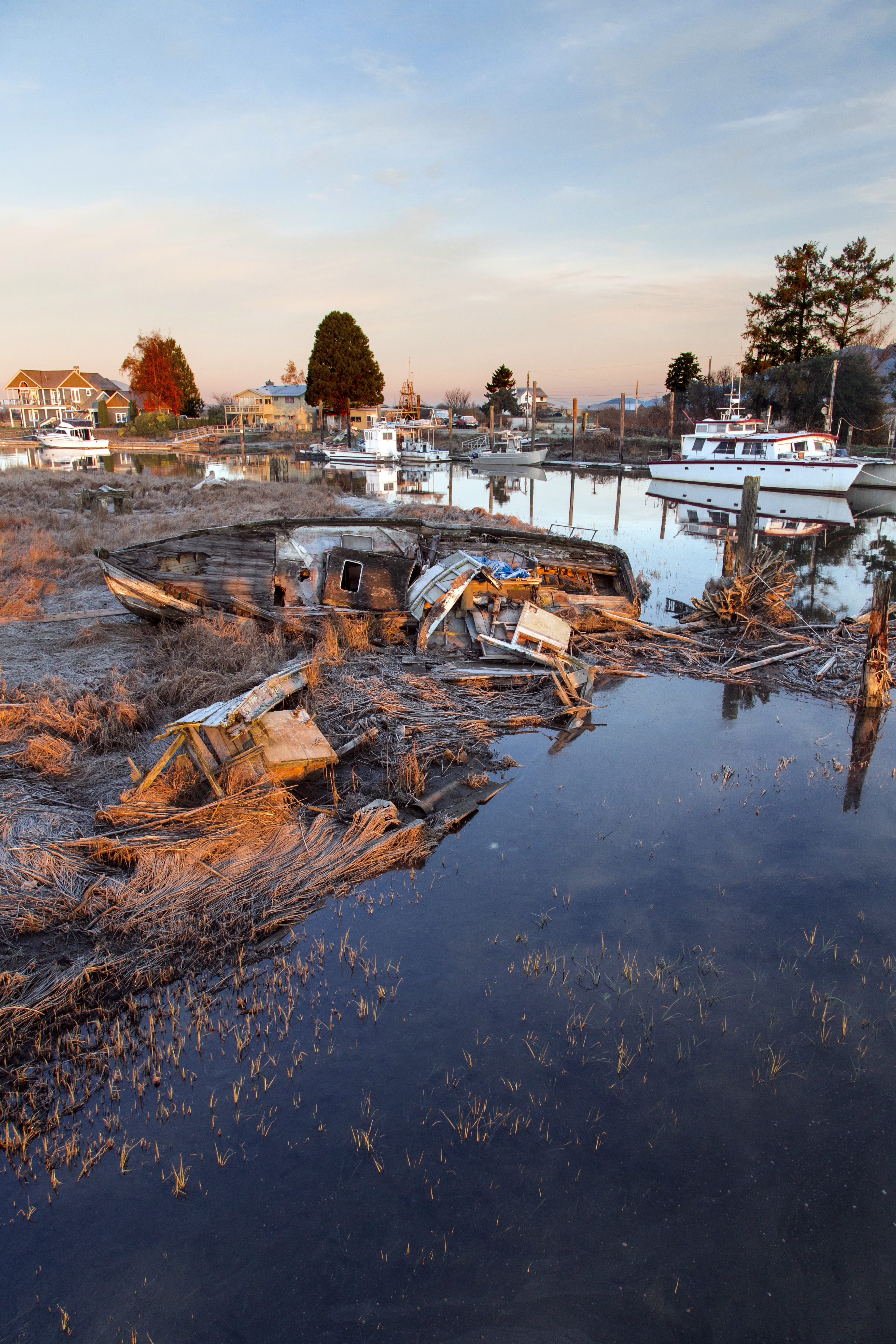
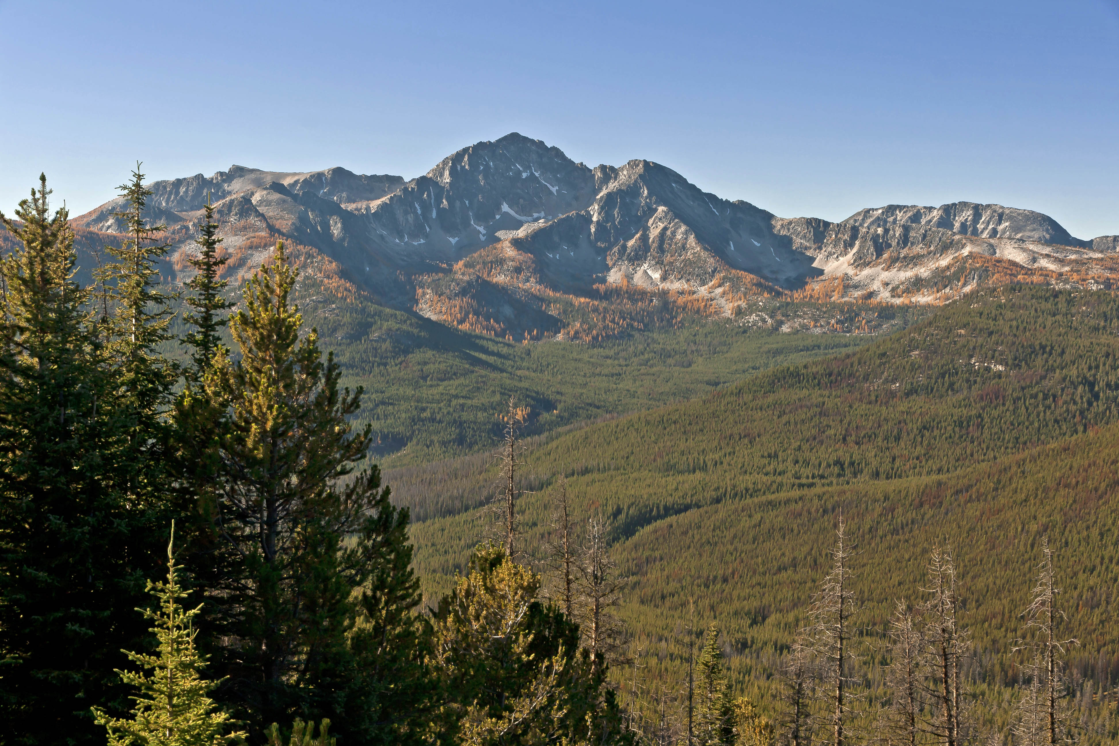
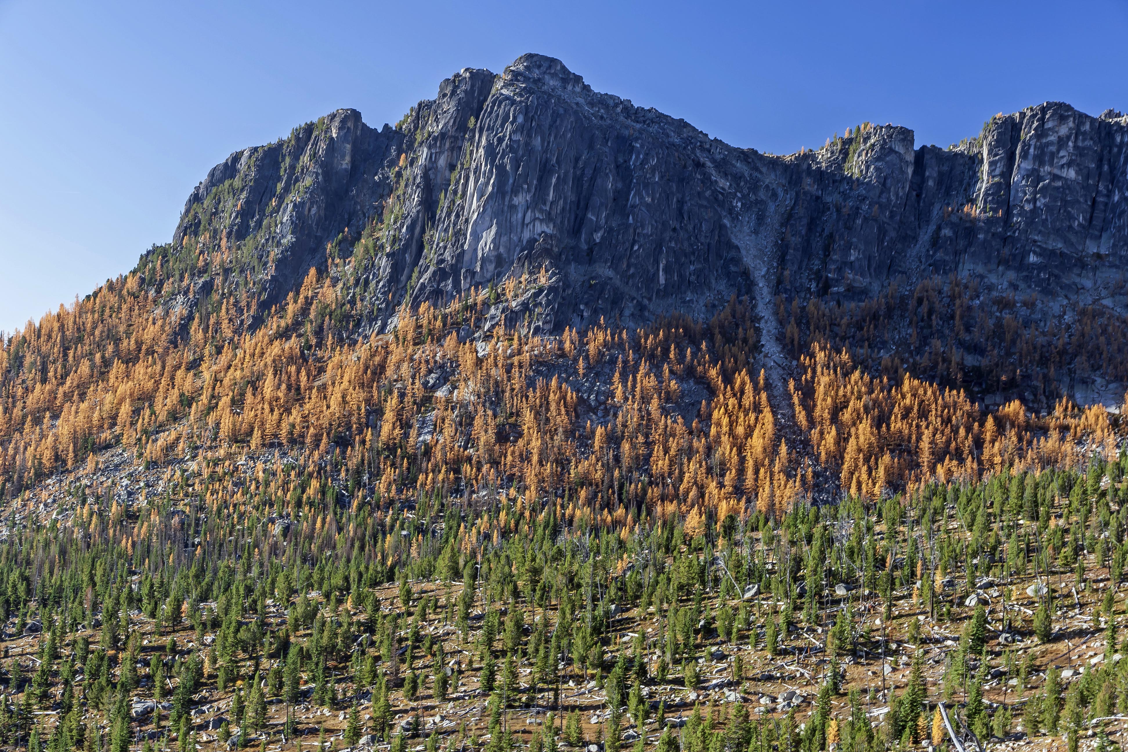
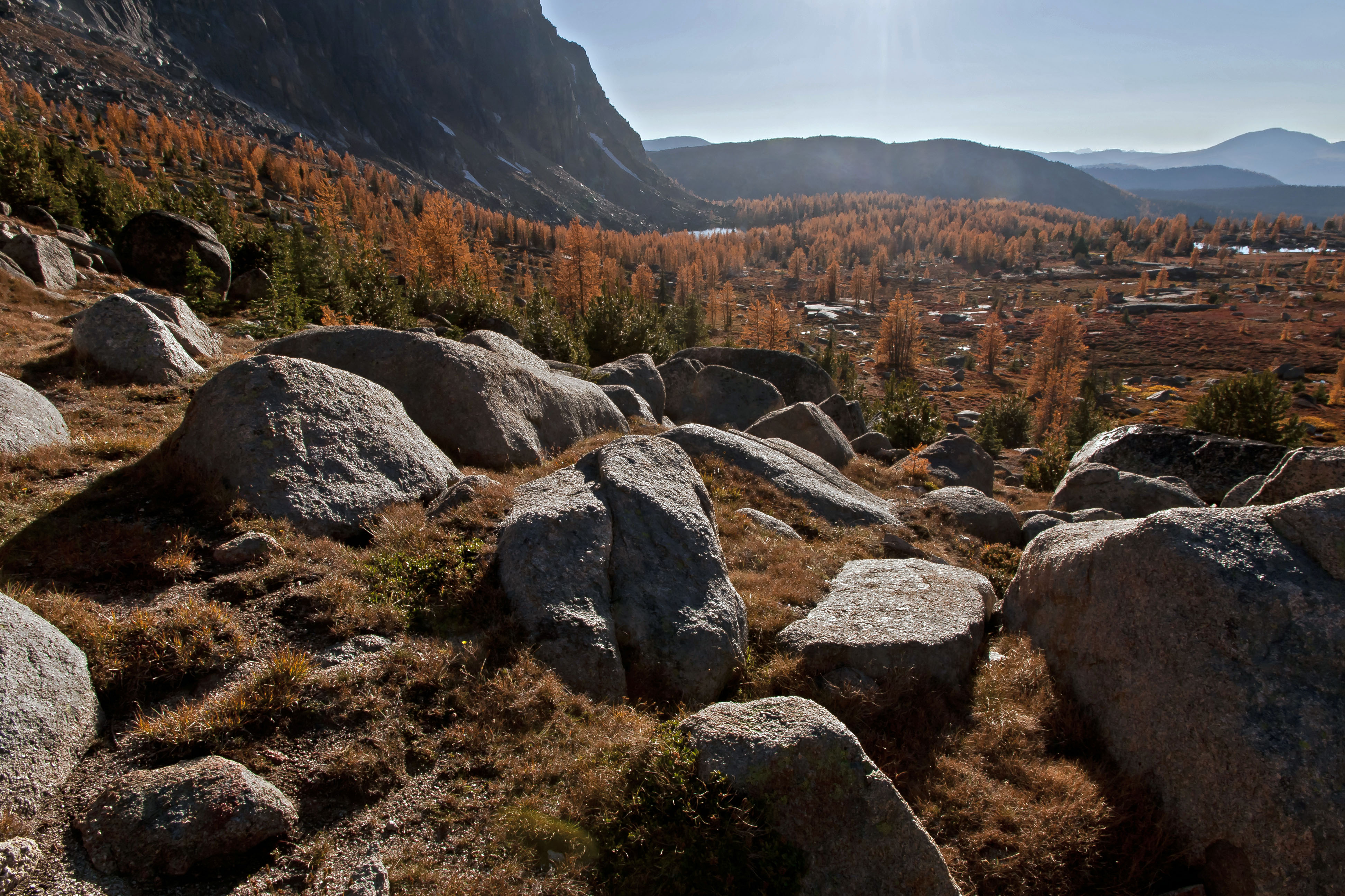
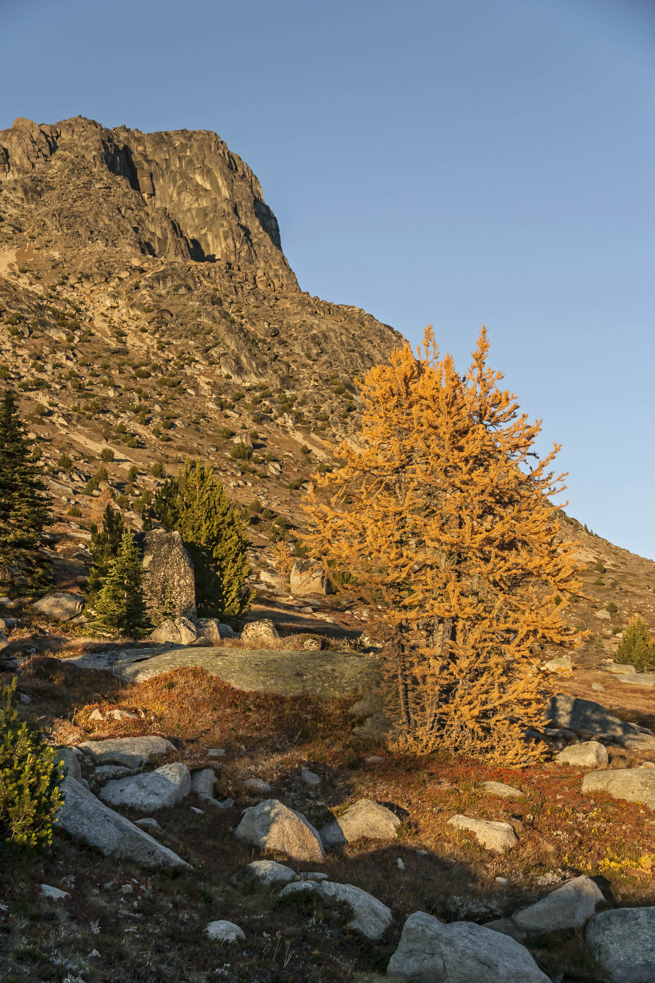
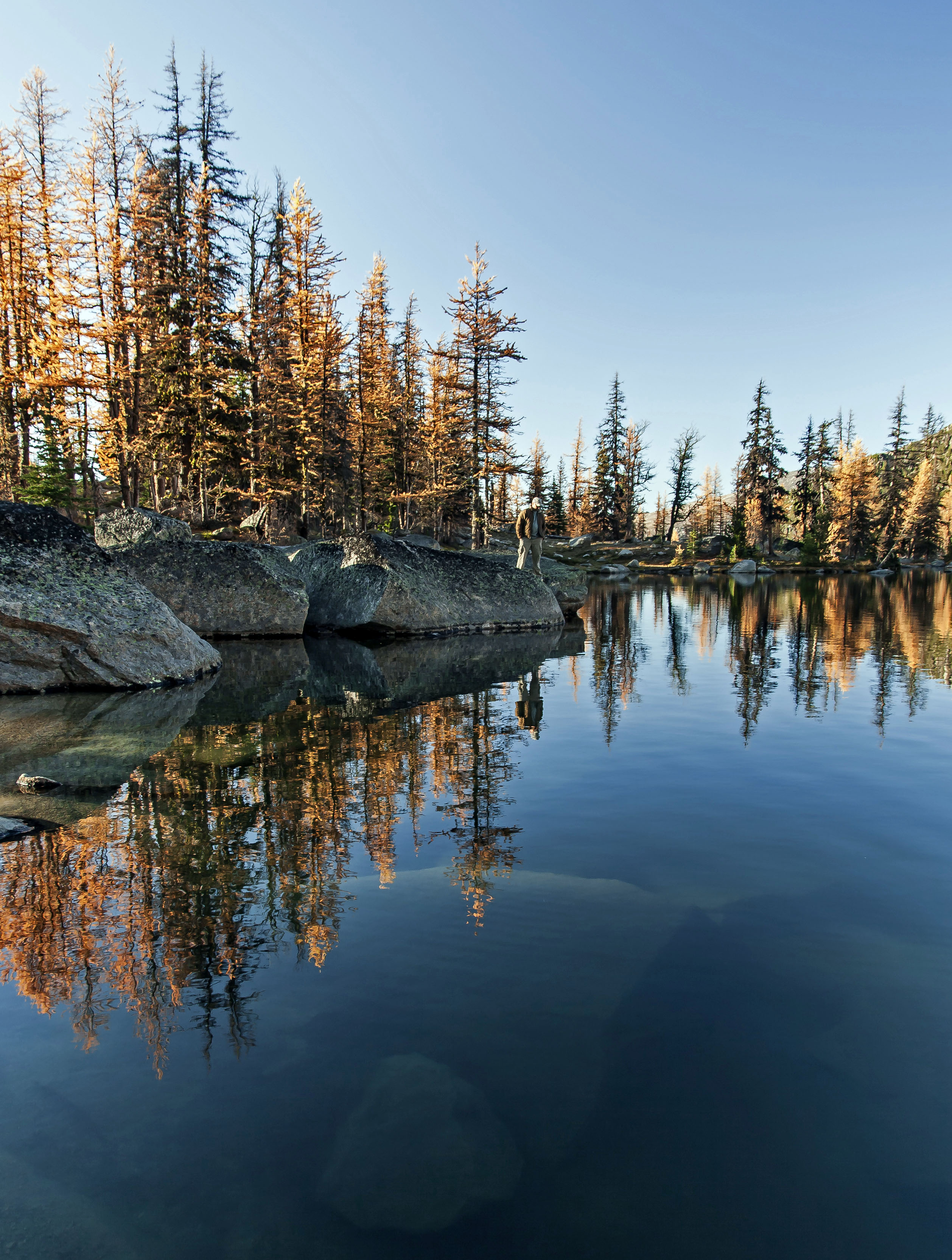
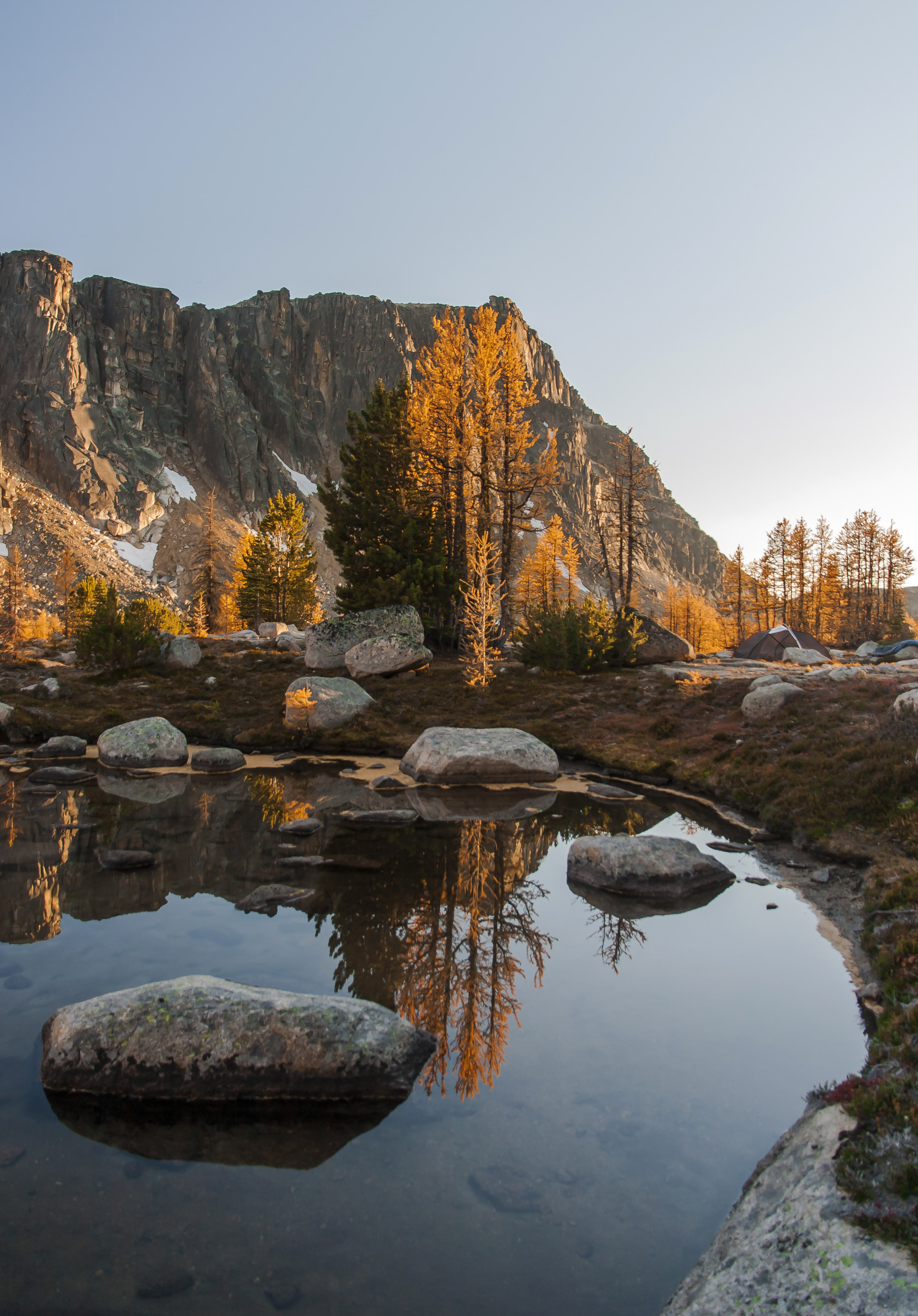
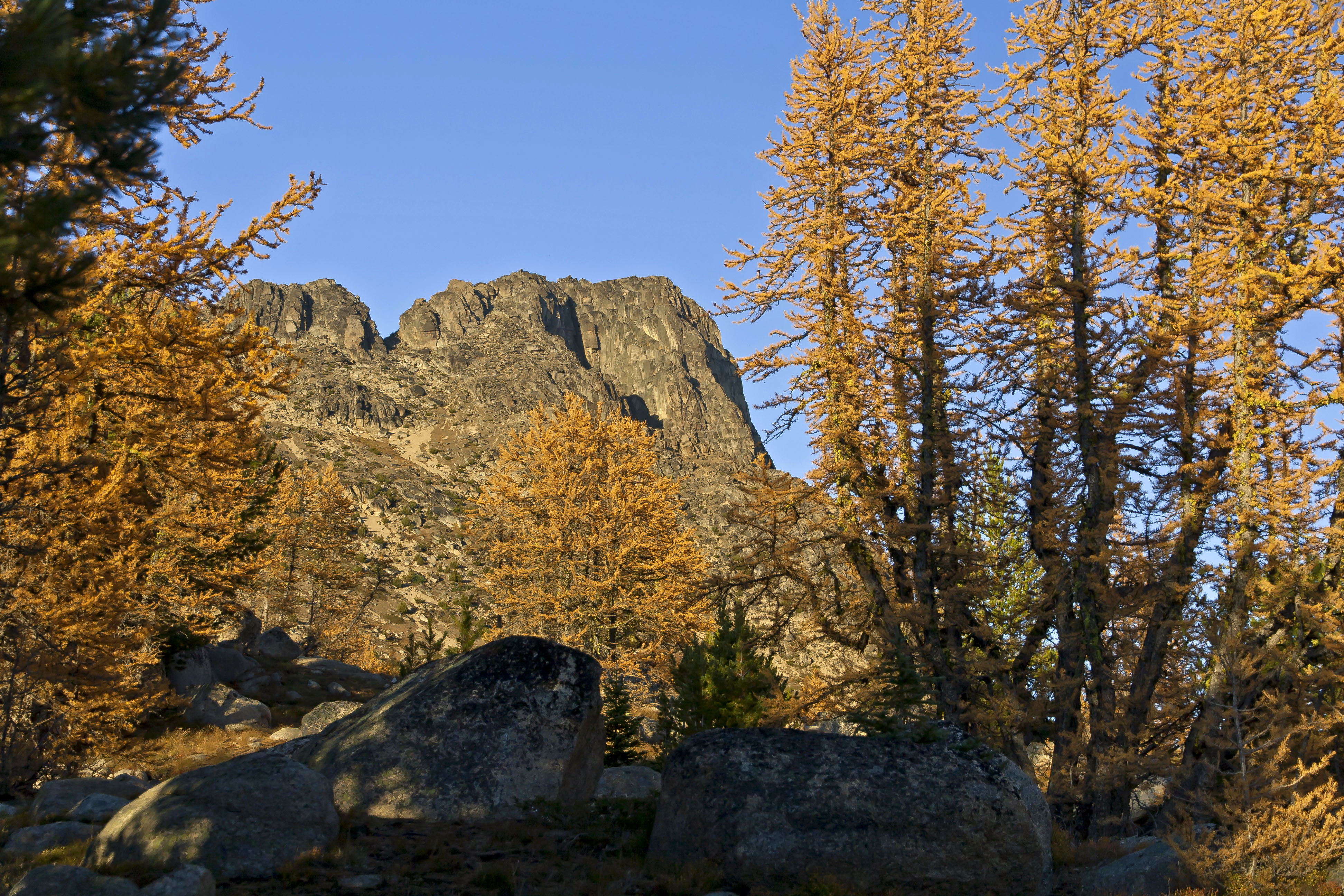
 Horseshoe Basin, North Cascades National Park
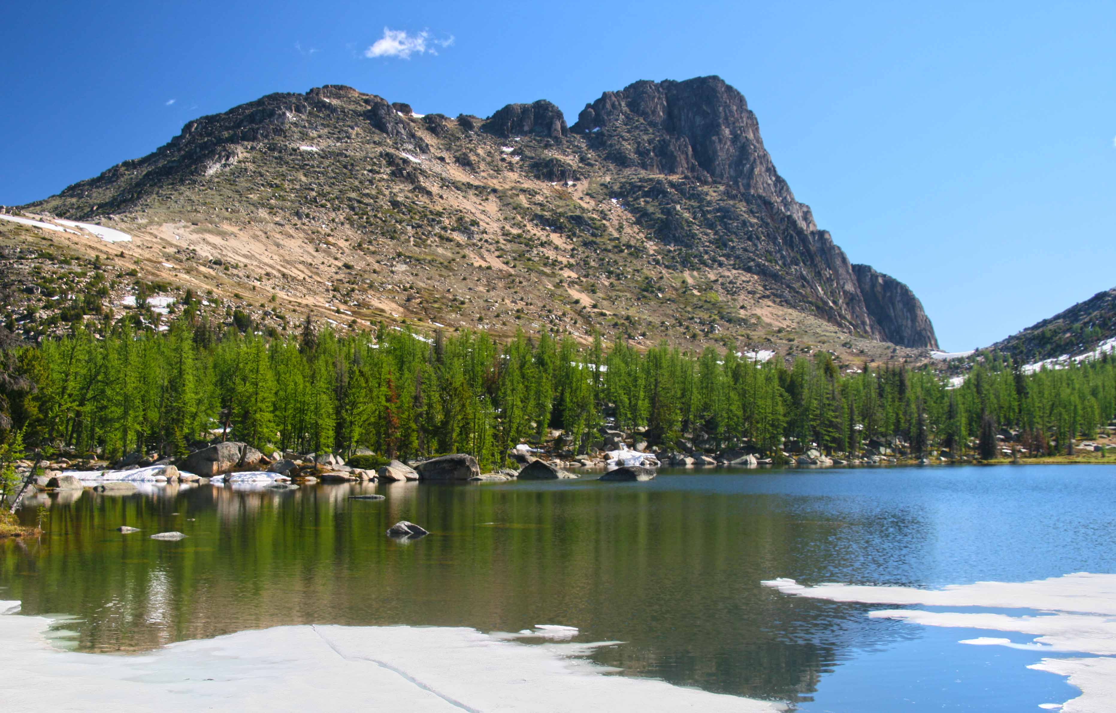
The trail follows the stream up into the valley; it follows a course along the stream, across the stream and in the stream, brushy and wet. Shortly the trail emerges into a clearing where boulders dot the basin floor. Climbing up on the largest, the view is transfixing. The green bowl is surrounded with grandeur, full of color and drama.
 Wildflowers on the trail
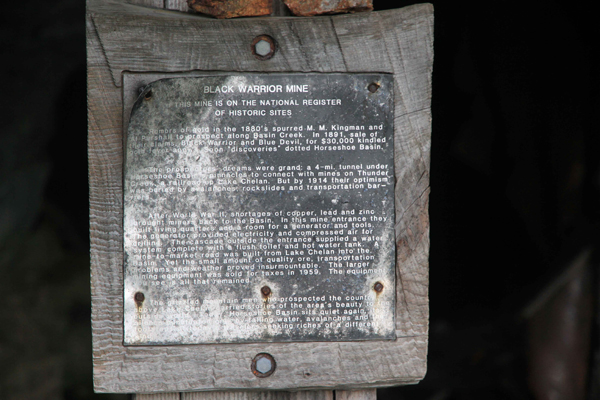
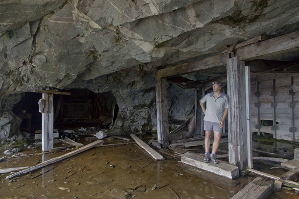
We hurried on, racing the sun, heading up the valley, climbing across boulders and scree, on to a snow field, up to the gaping hole of the Black Warrior Mine.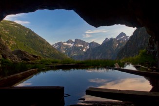 Black Warrior Mine
The North Cascades are full of old mining claims piles of colorful tailings and rusted remains of sluices and Pelton wheels littered about. But I had never visited a mine that I could enter and explore. The Black Warrior Mine operated until the mid-1950’s and is a National Historic place. 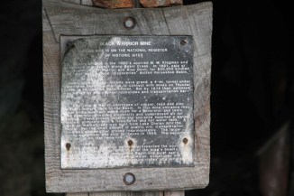
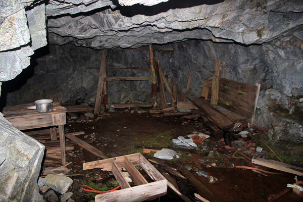
There is a sign at the entrance giving a brief history of the mine, the names of the prospectors and misled investors who poured their mostly futile efforts into this hole. There are two main cavernous rooms blasted into the mountain side which make the opening of the mine. Wooden supports and floor boards are flooded with water. Old tables and remains of habitation litter the floor. The shaft of the mine runs deep, several miles of tunnel remain; open for any brave person to explore.  Black Warrior Mine: Kitchen
The wonder of the place is still with me. Maybe its the history, all of the people who worked so long and hard here, digging and scraping for naught. Here, as in many of the North Cascade valleys, it was miners who blazed the trails that we now use to visit the high country. The road from Stehekin, long ago, came all the way to the mine entrance. Over time nature has reclaimed the road, now vehicles can only go as far as High Bridge, 17 miles downstream. Black Warrior Mine Remains
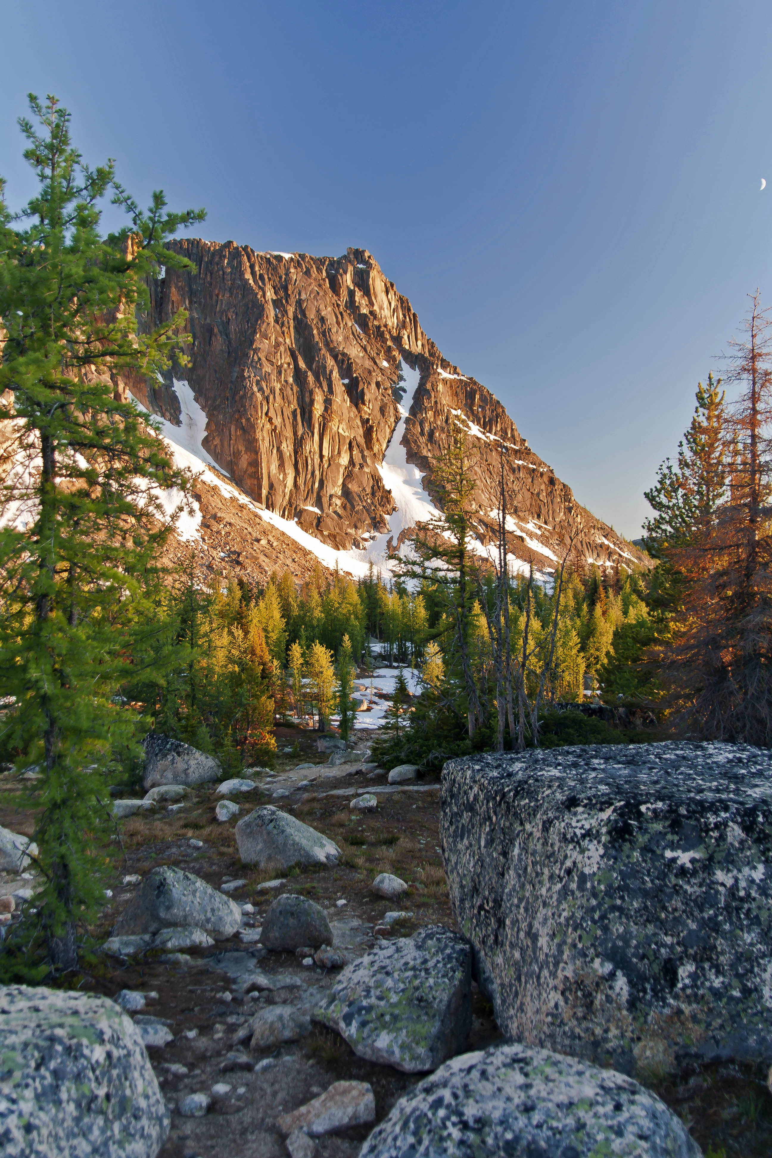
The falling sun chased us out of the valley, we camped at Basin Creek camp that night and then next day headed down the valley, east, towards Cotton Wood Camp.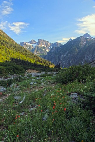 View from Mine Entrance, looking down the valley
The next few days found us in Stehekin eating fresh pastry…
2 days and lots of espresso/tasty treats later we headed back up through Cottonwood and the upper valley on a bright summers day, with a welcome breeze we crossed Basin Creek again and started up towards the pass.
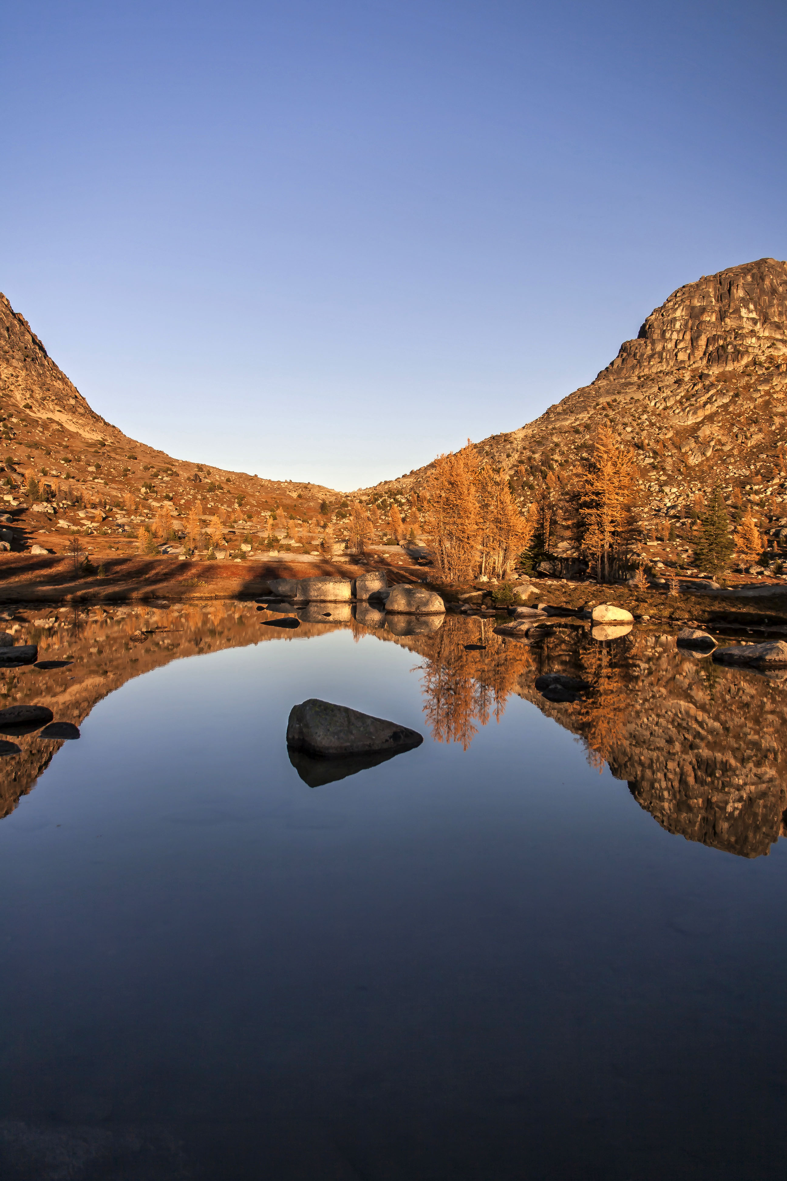
 Basin Creek
It was early in the morning when we came back to the trail junction with the Horseshoe Basin trail. I wanted to have another view, this time with different light. So we stopped and were having a snack before heading up the valley when we had a visitor.
The main trail coming down from Cascade Pass makes a long traverse of the mountainside, descending towards the valley floor. At the elbow of a switchback the spur trail heads up the Basin Creek draw to Horseshoe Basin. We were sitting at the junction, relaxing, when I saw a black bear heading down the trail towards us. My camera was nearby and I ran for it, got the settings adjusted and started shooting. As the bear approached she spied us and slowed her pace. My pulse was pumping with excitement as she got closer and the images clearer. I was viewing the entire scene from my view finder and suddenly had the realization that the bear was getting pretty close!
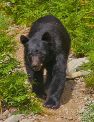 Bear at Horseshoe Basin
I lowered the camera and considered what to do. The bear was now at the trail junction, about 15 feet from me, she paused, considering her options. My friend and I both realized that she wanted to pass up the spur, trail to the basin, right past us!
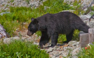
We sort of backed up, along the hillside, and spoke soft words to the bear. She gave us a look of resignation, then headed further down the main trail, cutting across the hillside, just below our spot, traversing below us for about 50 feet, then popped back up through the brush and back onto the spur trail. She gave us a last look, and continued her way on the trail up to, we assumed, good foraging grounds in Horseshoe Basin.
Exulting in our good fortune, excited and energized, we finished our snack and followed her up the valley to the basin.