Washington’s 5 Best Camping Spots
You have to backpack to these spots, no ‘drive and park’ camping! Each spot can be reached with one days hiking (although depending upon your fitness/motivation level Isolation Lake and Lakeview Ridge may require a two-day hike to get there). All 5 spots afford an absolutely jaw dropping, gob smacking, OMFG view from your tent that you will not soon forget. List out your favorite superlatives: all apply to these scenic camping spots.
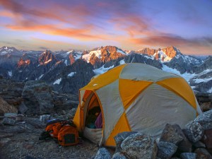
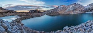
Sahale Glacier Camp – North Cascades National Park
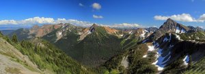
This just might be one of the best camping spots anywhere. The camp is situated atop 3 piles of glacial rubble at the toe of Sahale Glacier. Stone rings protect you from the wind. Goats often come for a visit. And the views! An ocean of jagged summits spread out before you… oh, and the toilet has the best view in the state!
-

- Sahale Camp
-

- Camped at Sahale Glacier Camp
-

- Sahale Camp Panorama
-

- Sahale Camp Visitor
-
- Sunrise, Steven Mather Wilderness – North Cascades National Park
-

- View from the toilet
-

- Sahale Camp
-

- Sahale Camp
-

- Sahale Arm
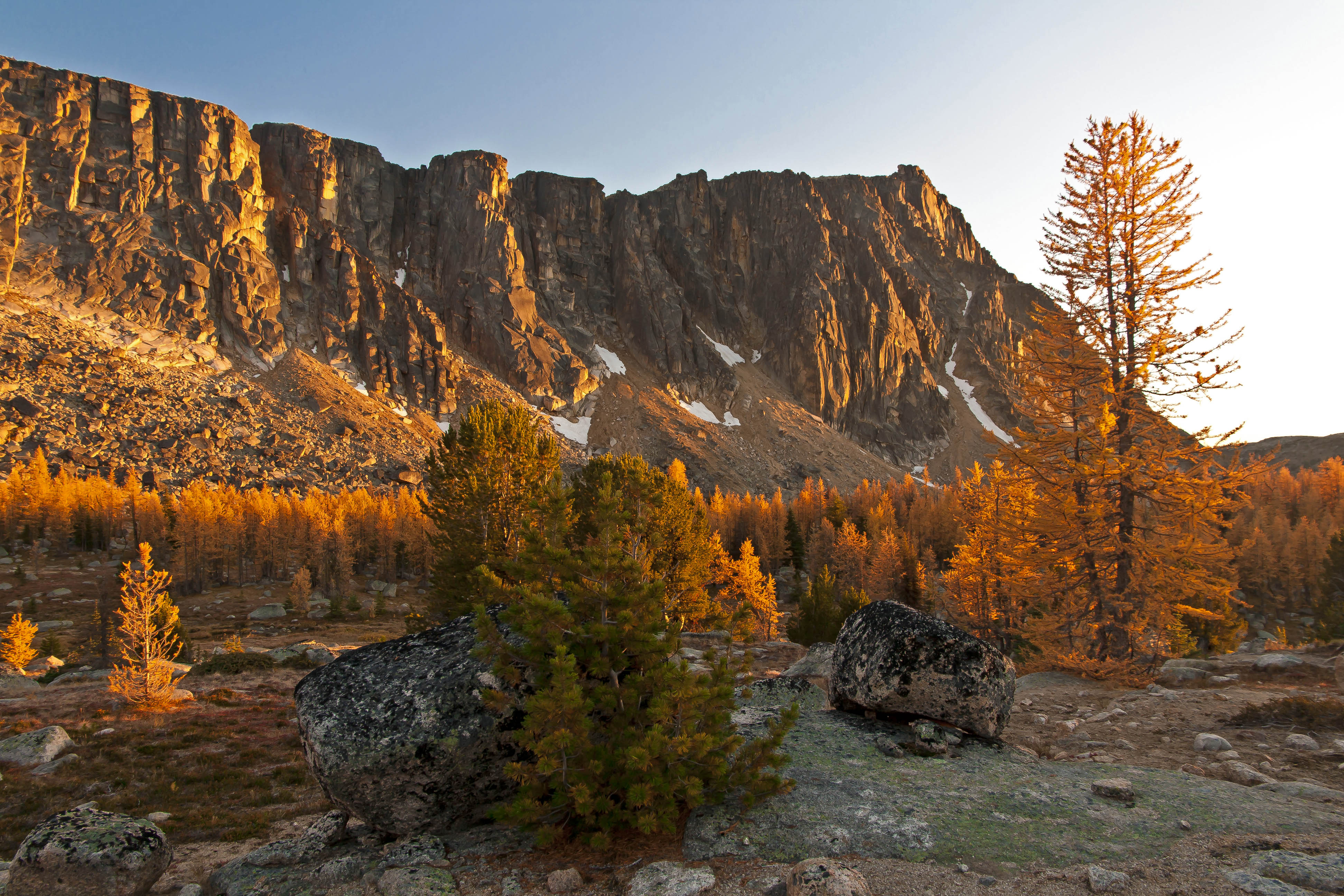
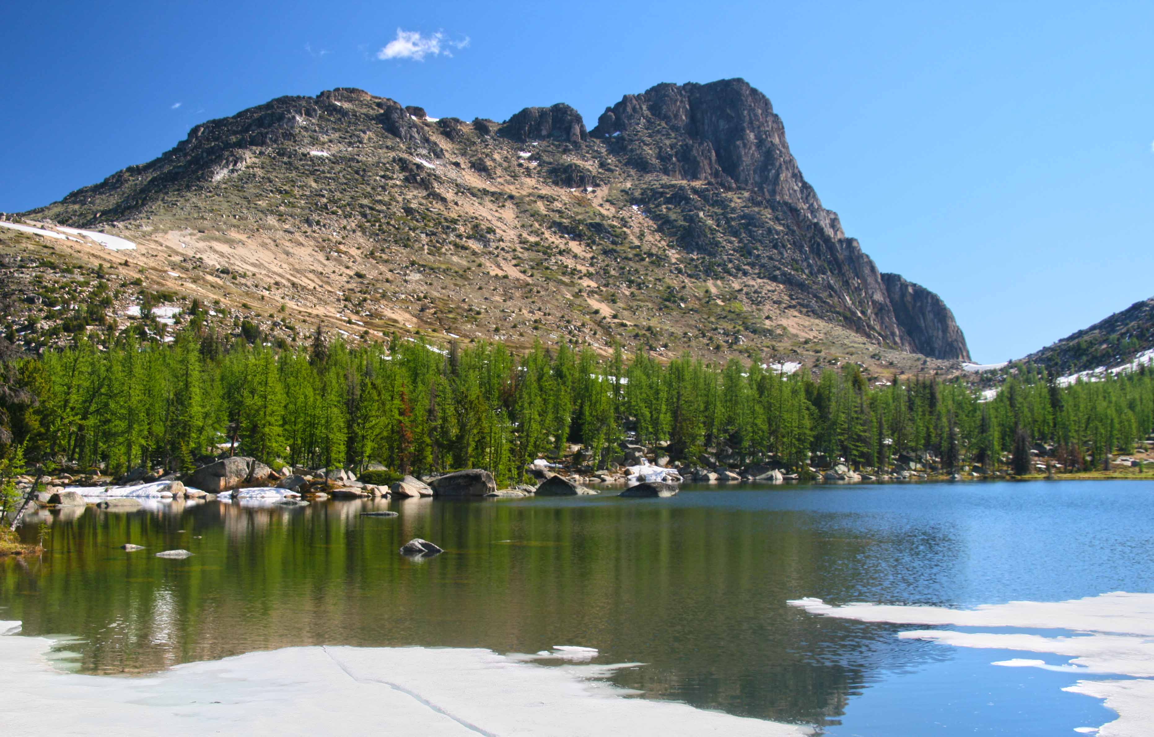
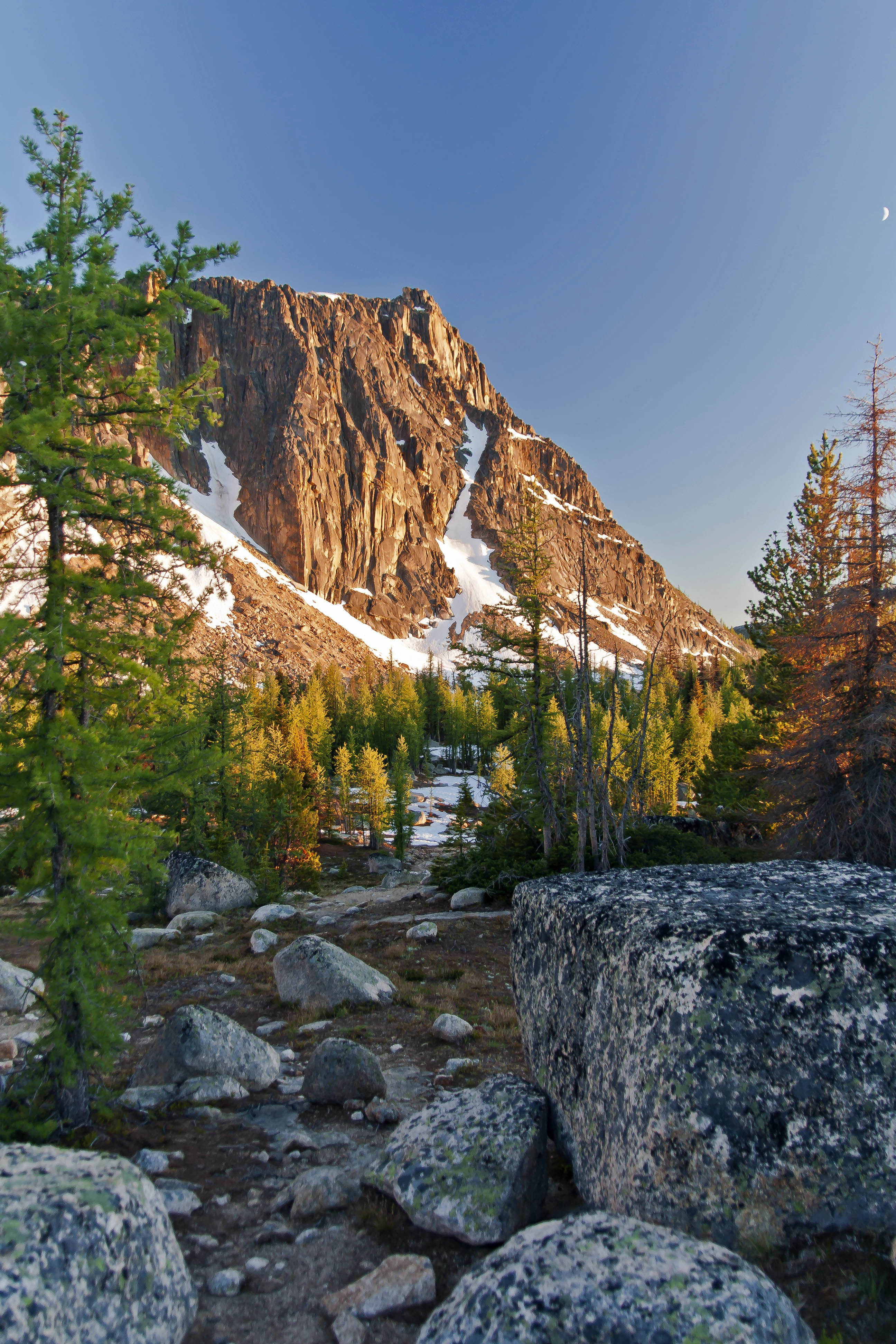
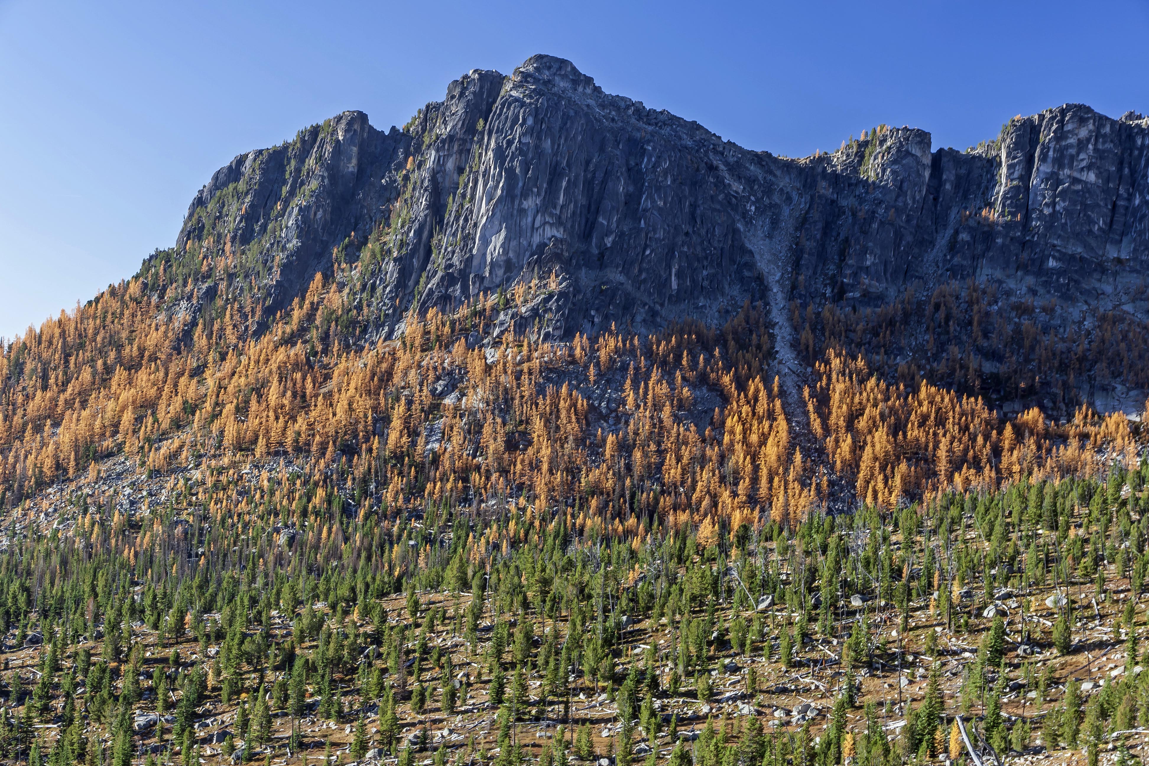
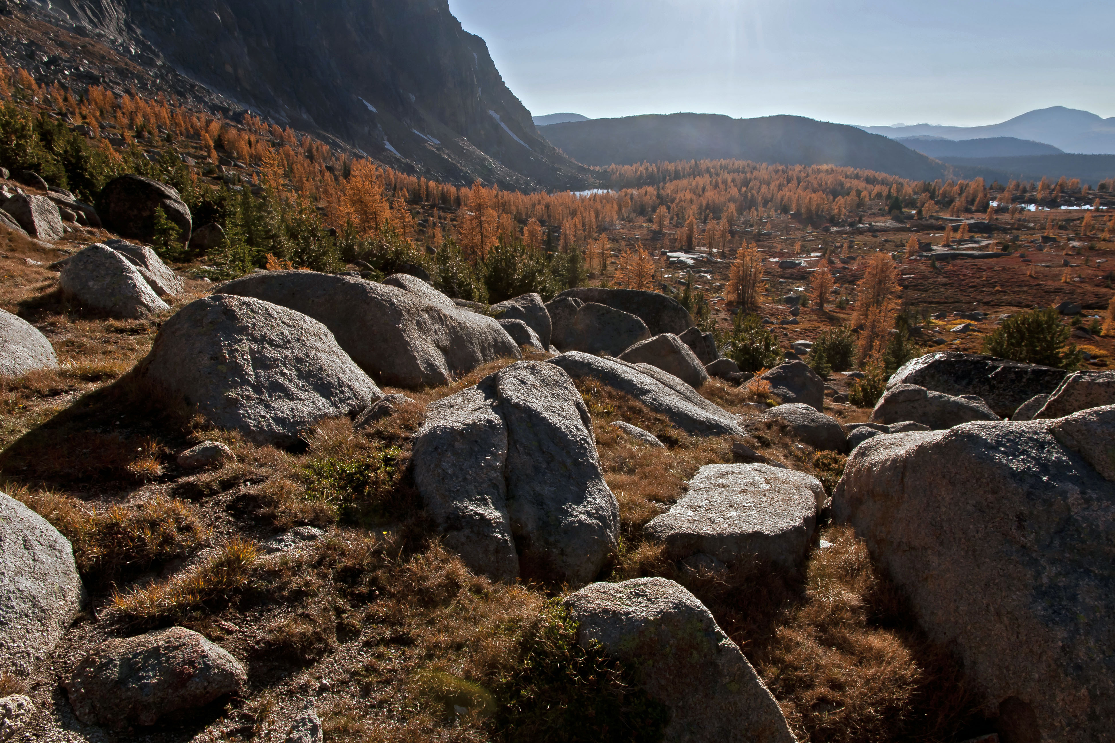
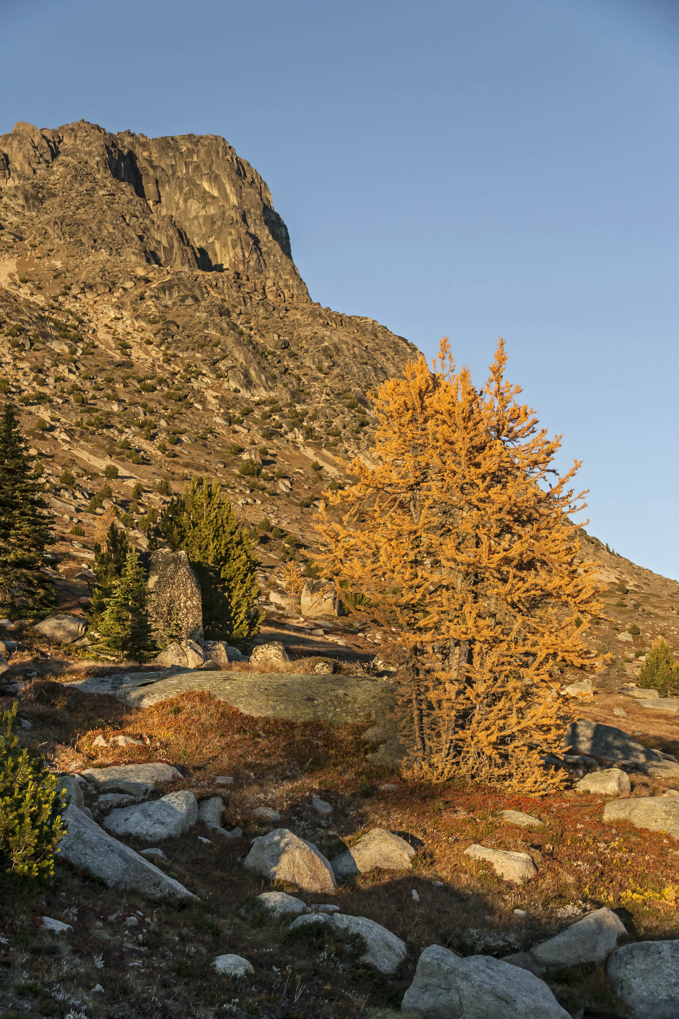
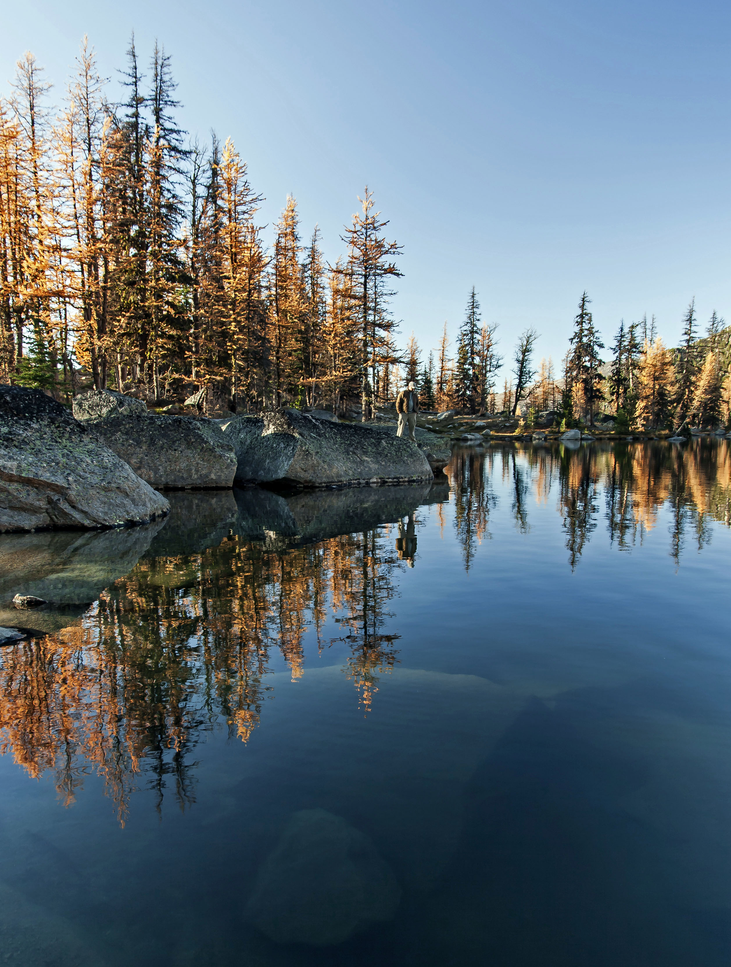
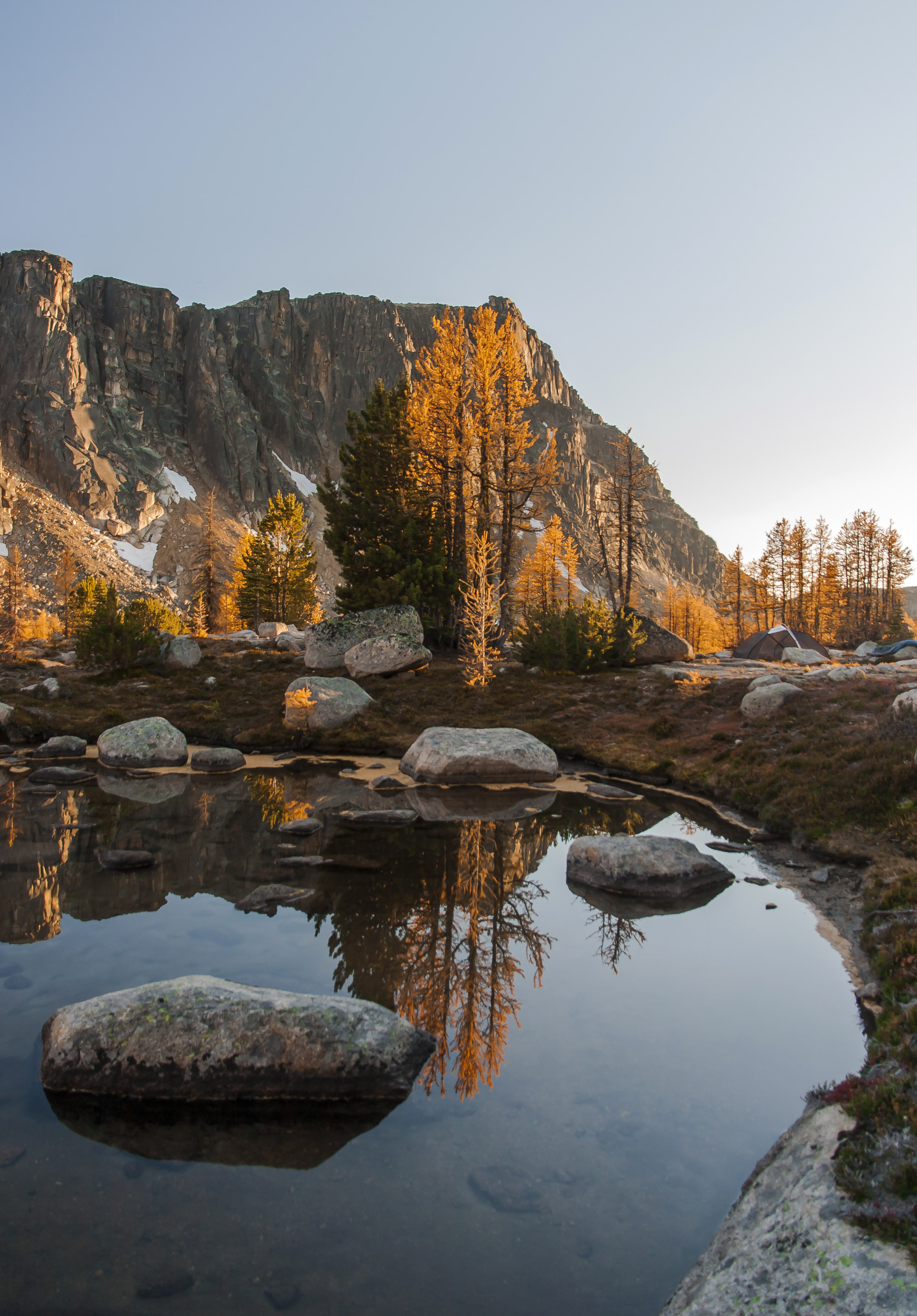
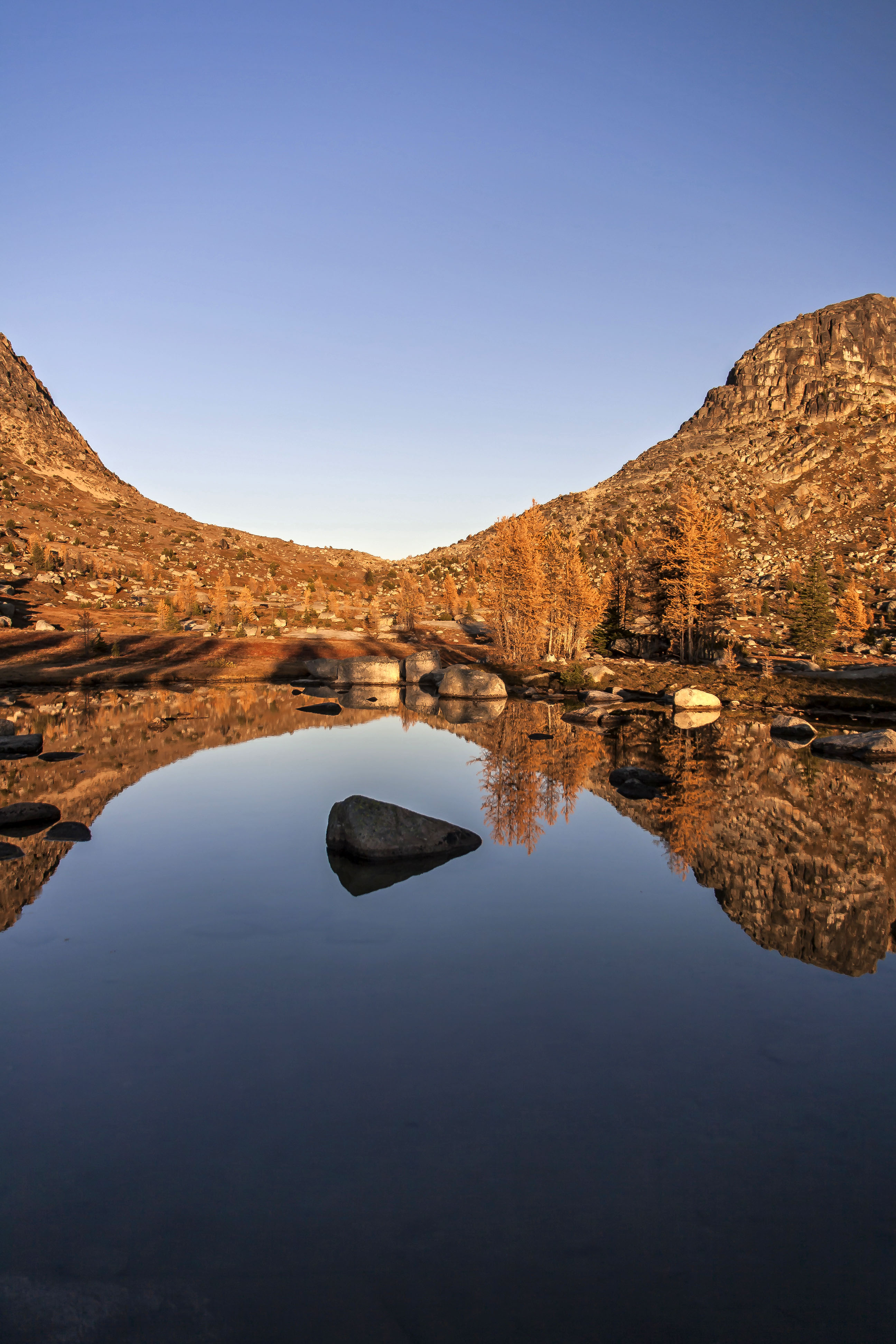
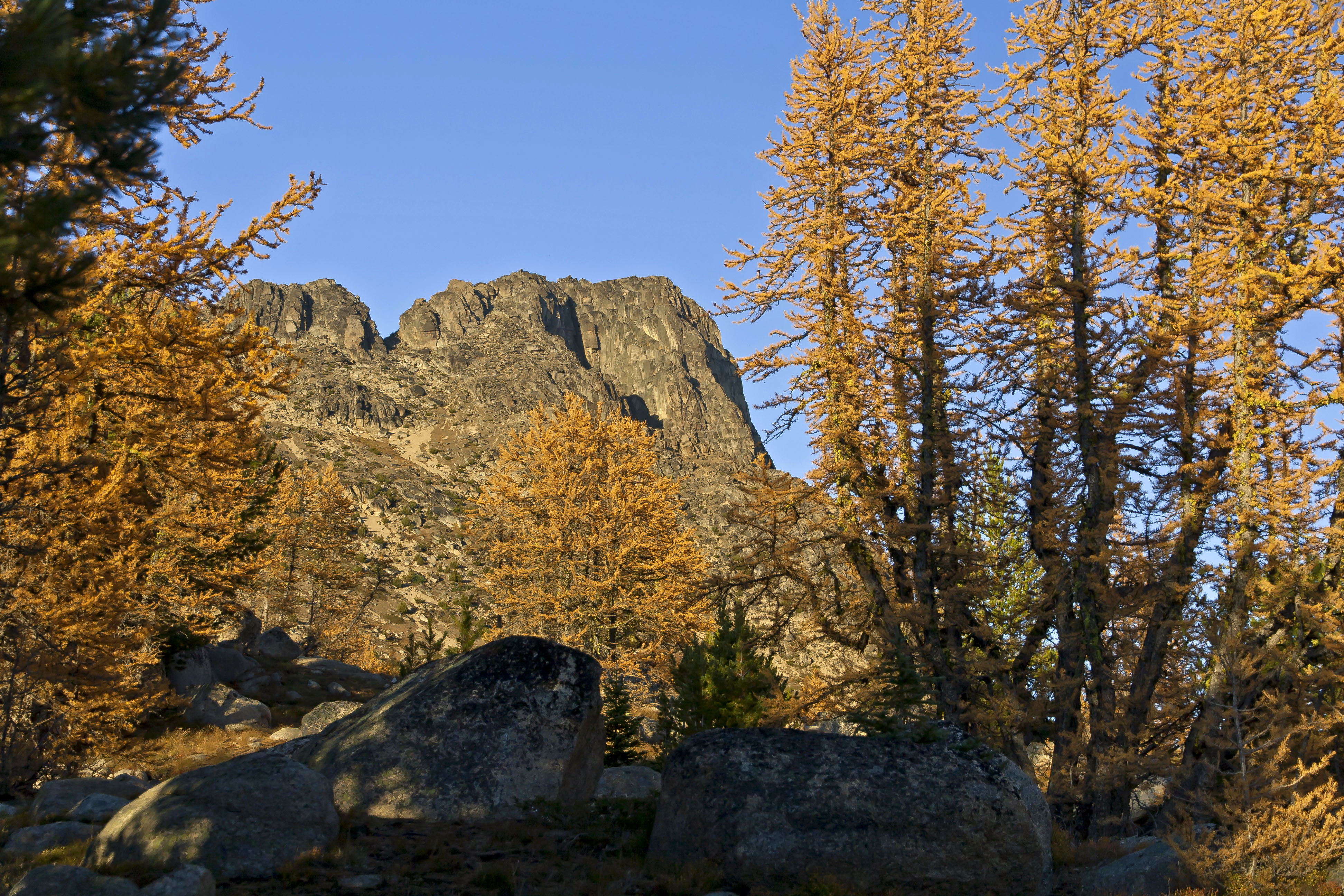
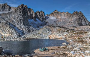
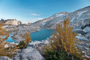
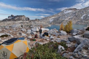
Isolation Lake – Enchantments, Alpine Lakes Wilderness
Hiking up Aasgard Pass with a big pack is no picnic, but once you get up, Isolation Lake is there, waiting. This is a land of rocks and ice. The serrated peaks cut the sky and the crystal pure, icy cold lake, blue/green lake beckon. The images of the visit will stay imprinted in your brain.
-

- Colchuck Lake, Enchantments


-
- Isolation Lake, Enchantments, Alpine Lakes Wilderness
-
- Camped at Isolation Lake, Enchantments, Alpine Lakes Wilderness
-

- 3
-

- Crystal Lake, Enchantments
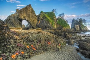
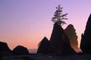
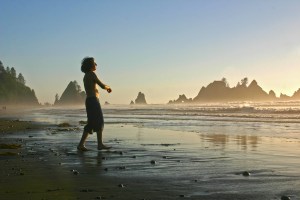
Point of the Arches, Olympic National Park
Camping on the beach is always awesome: The ocean breeze, the sounds of the birds, the feel of the sand in between your toes, a fire at night. Point of the Arches has it all: surreal sea stacks jutting out of the Pacific, tide pools filled with critters and unbelievable sunsets.

-
- Point of the Arches, Olympic National Park

-

- Shi Shi Beach


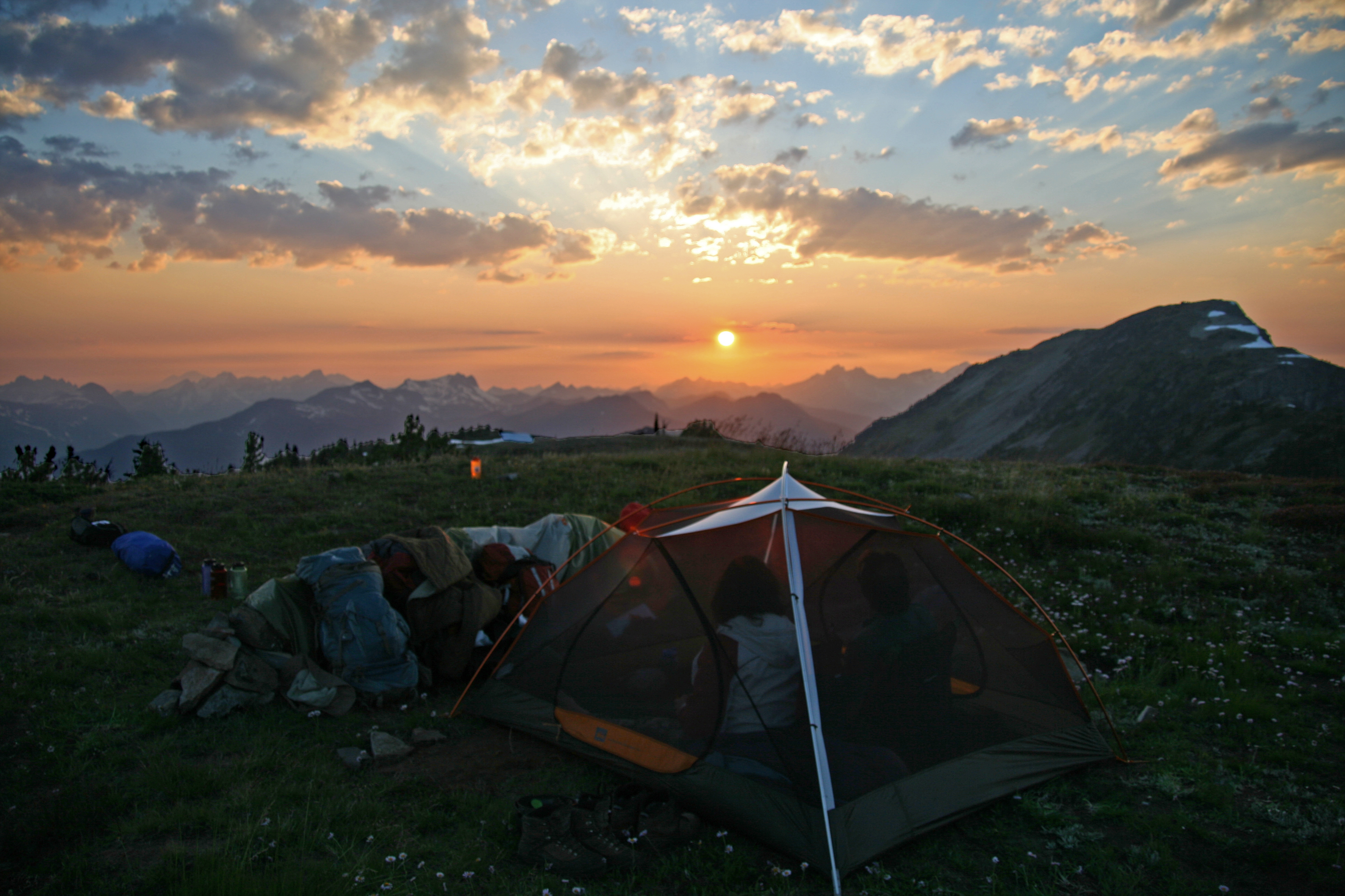
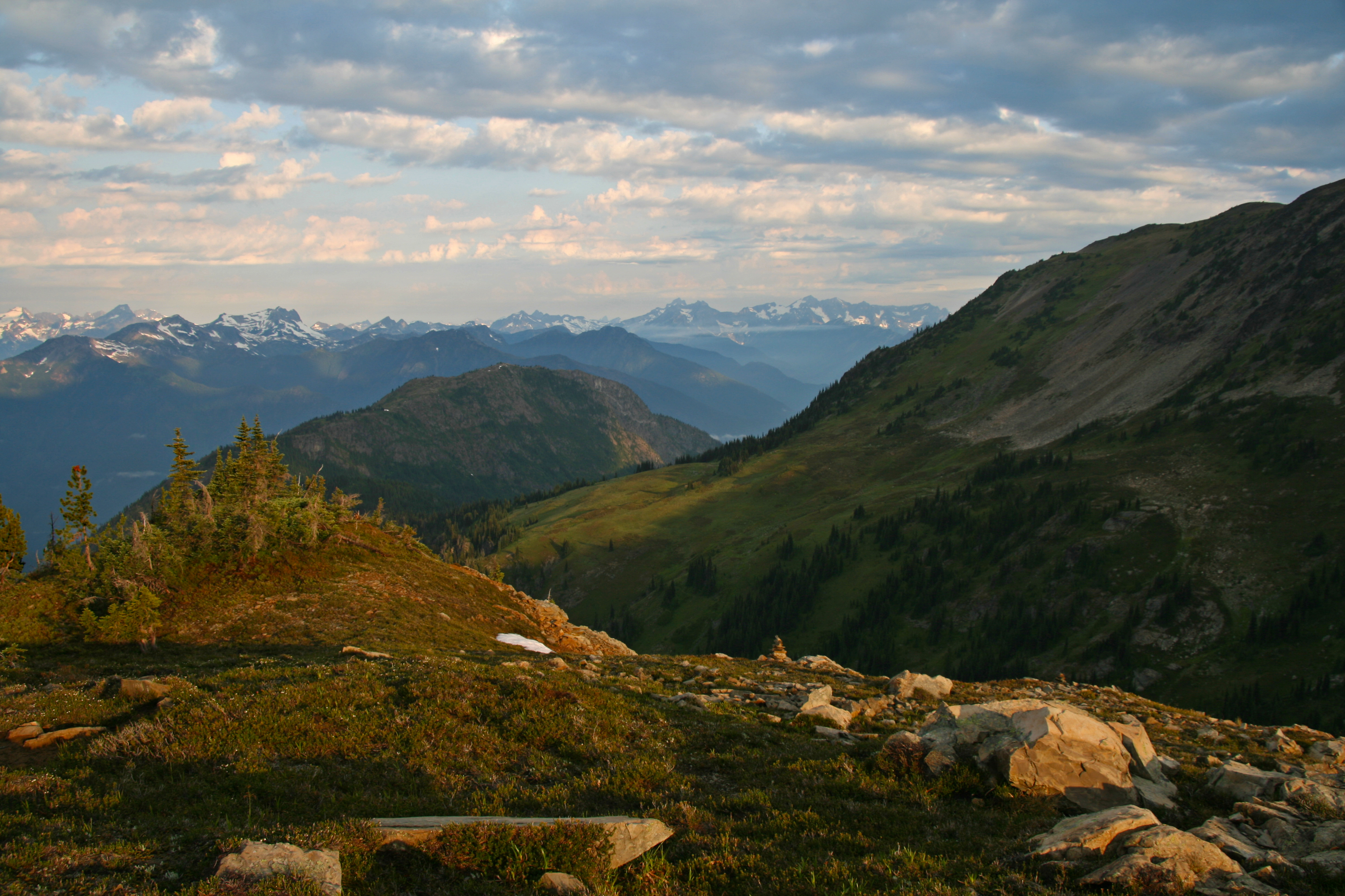
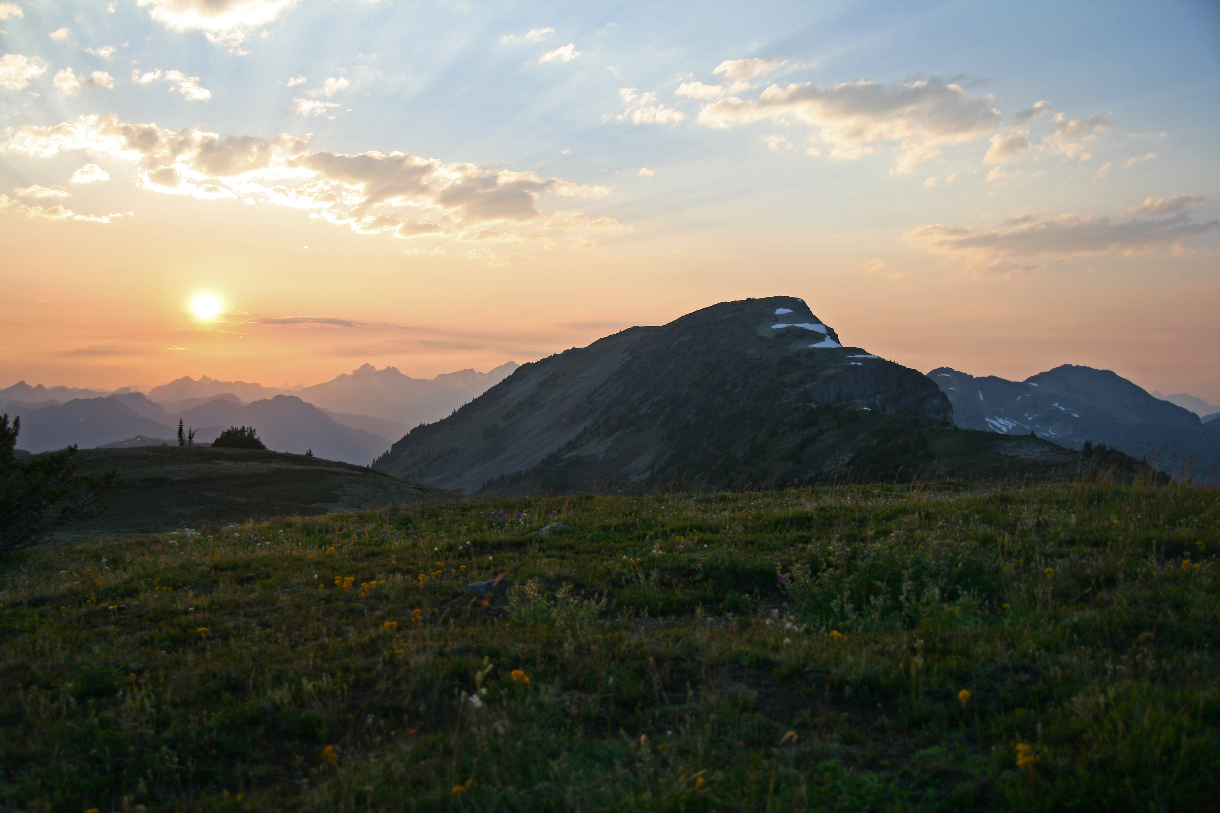
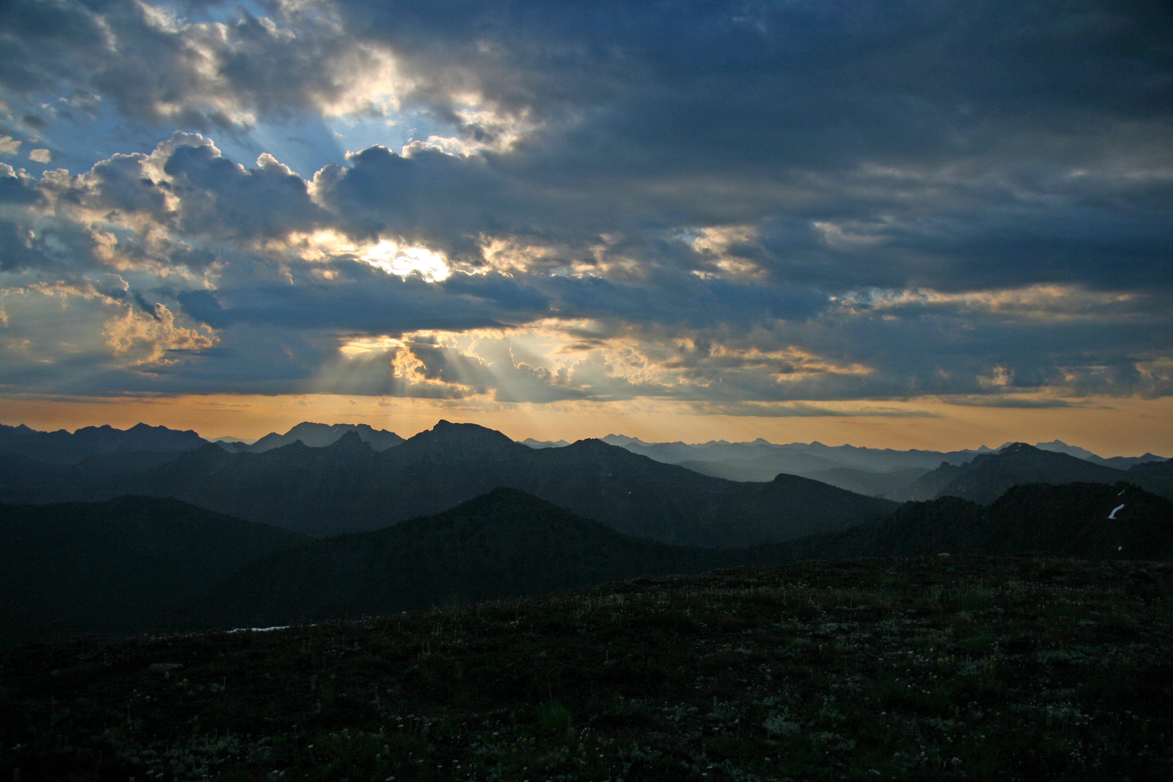
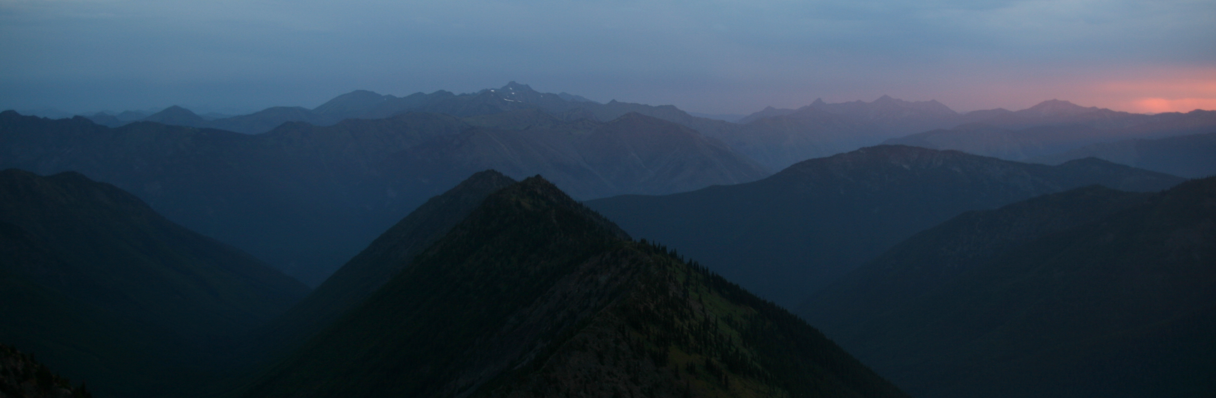
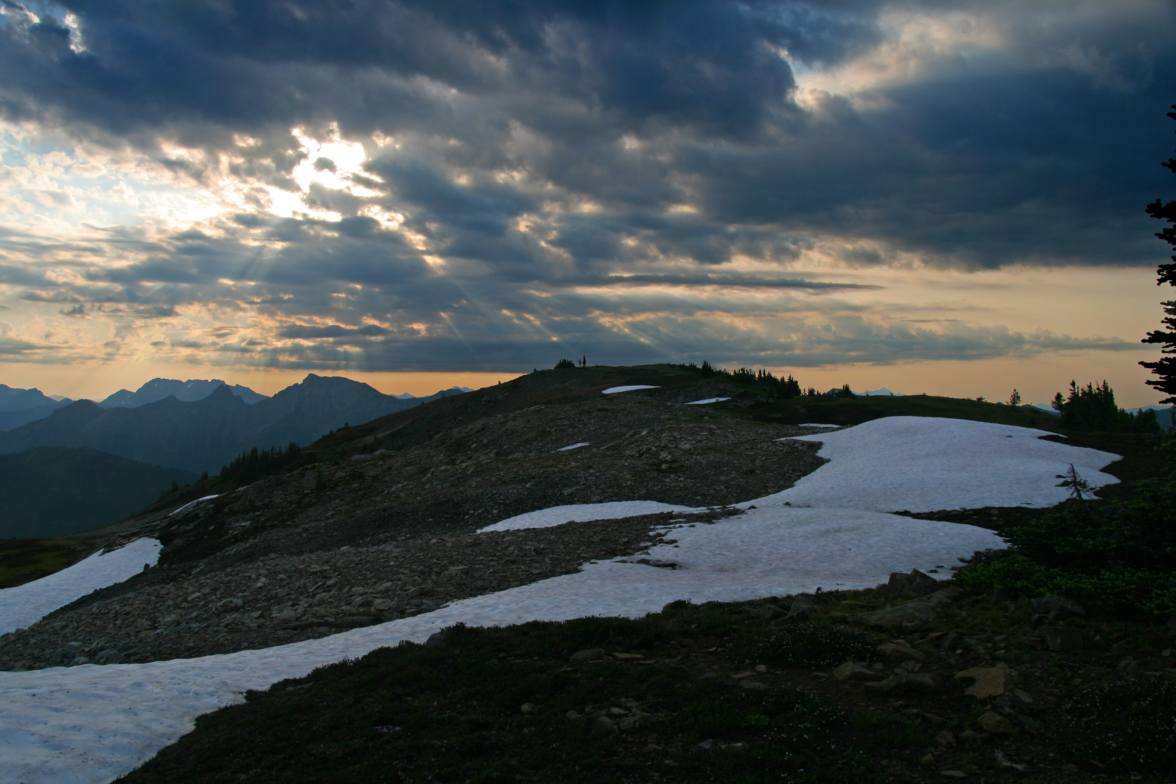
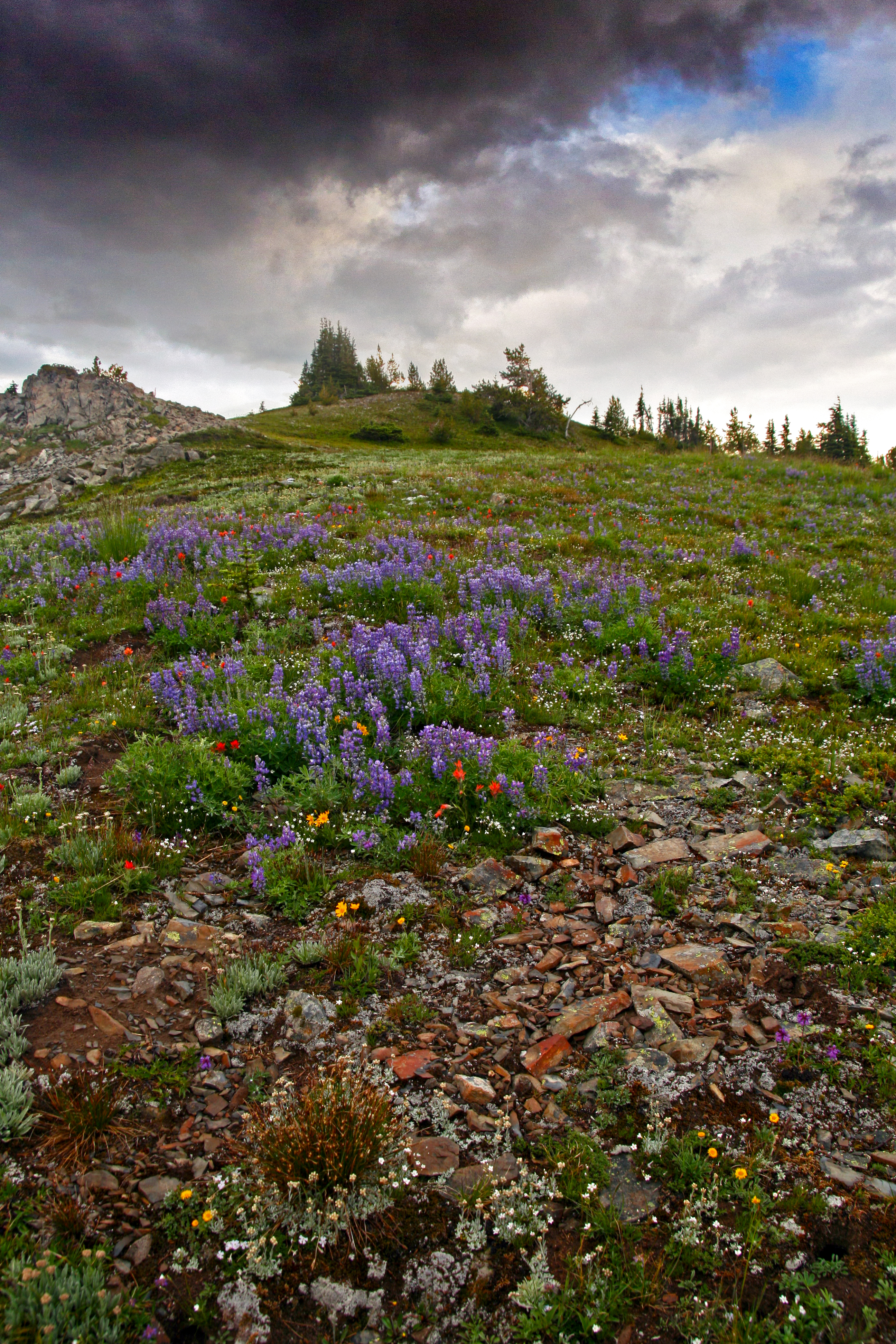
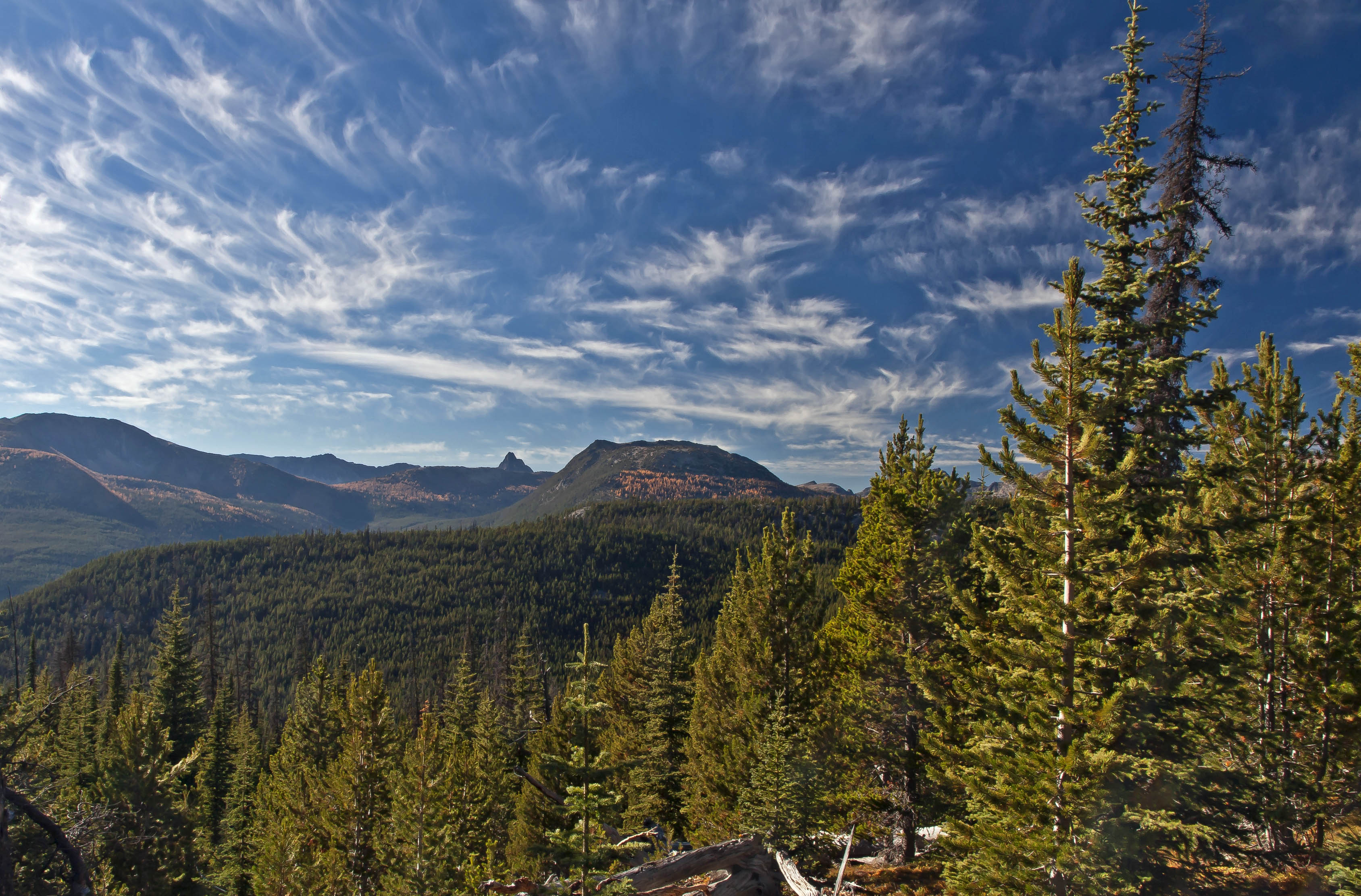
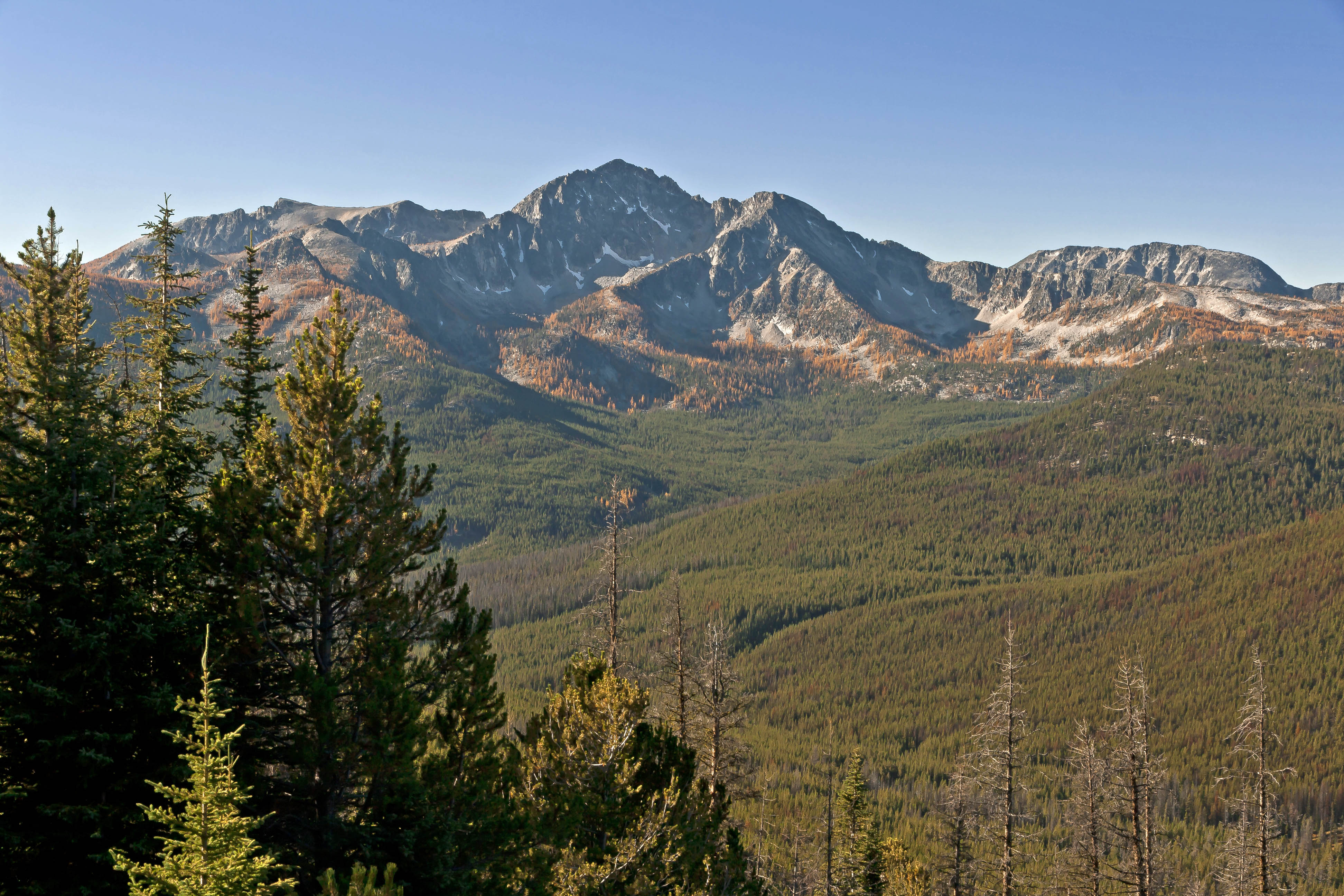
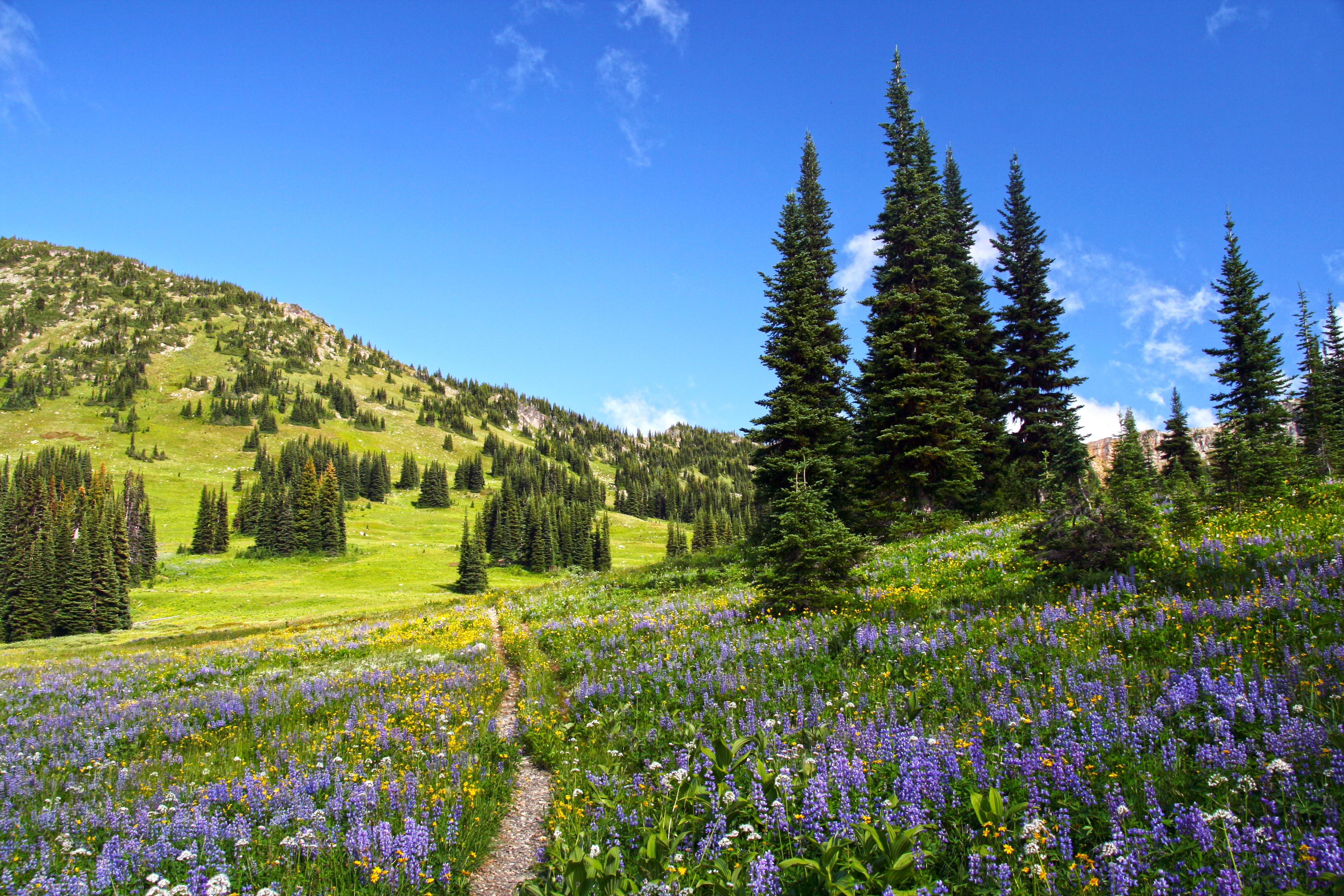
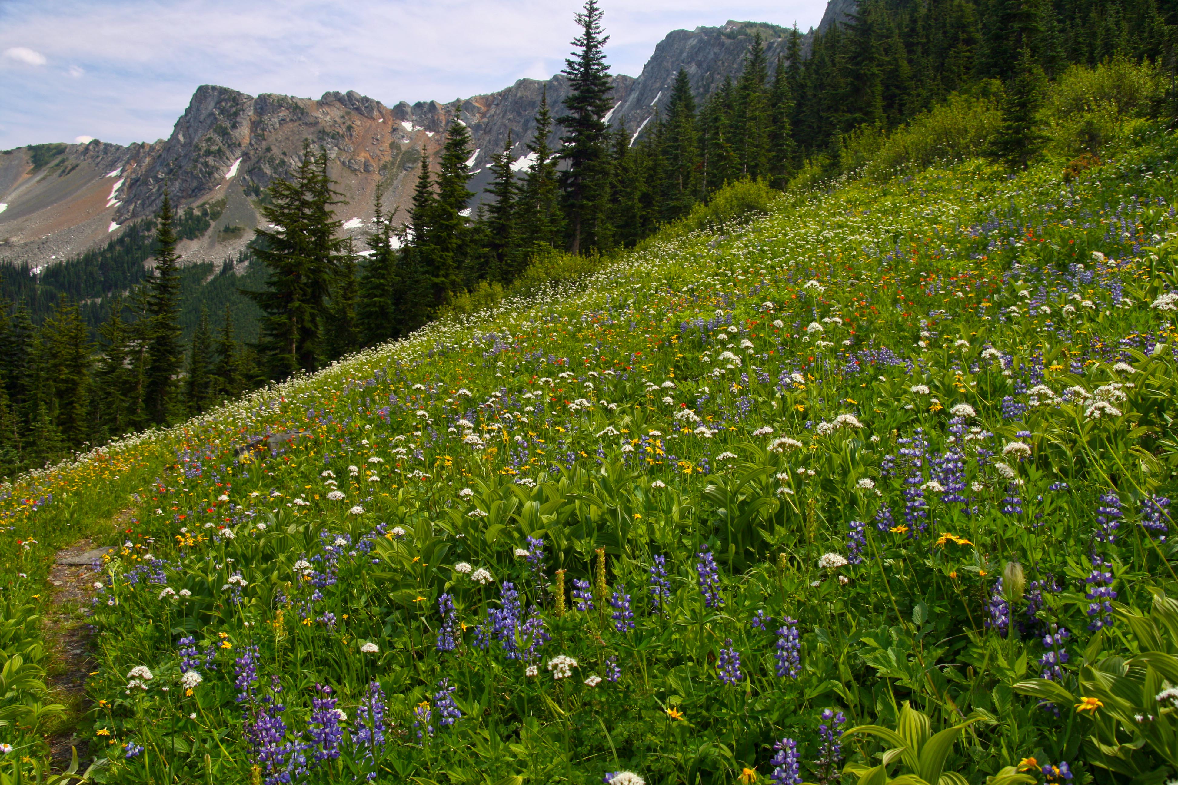
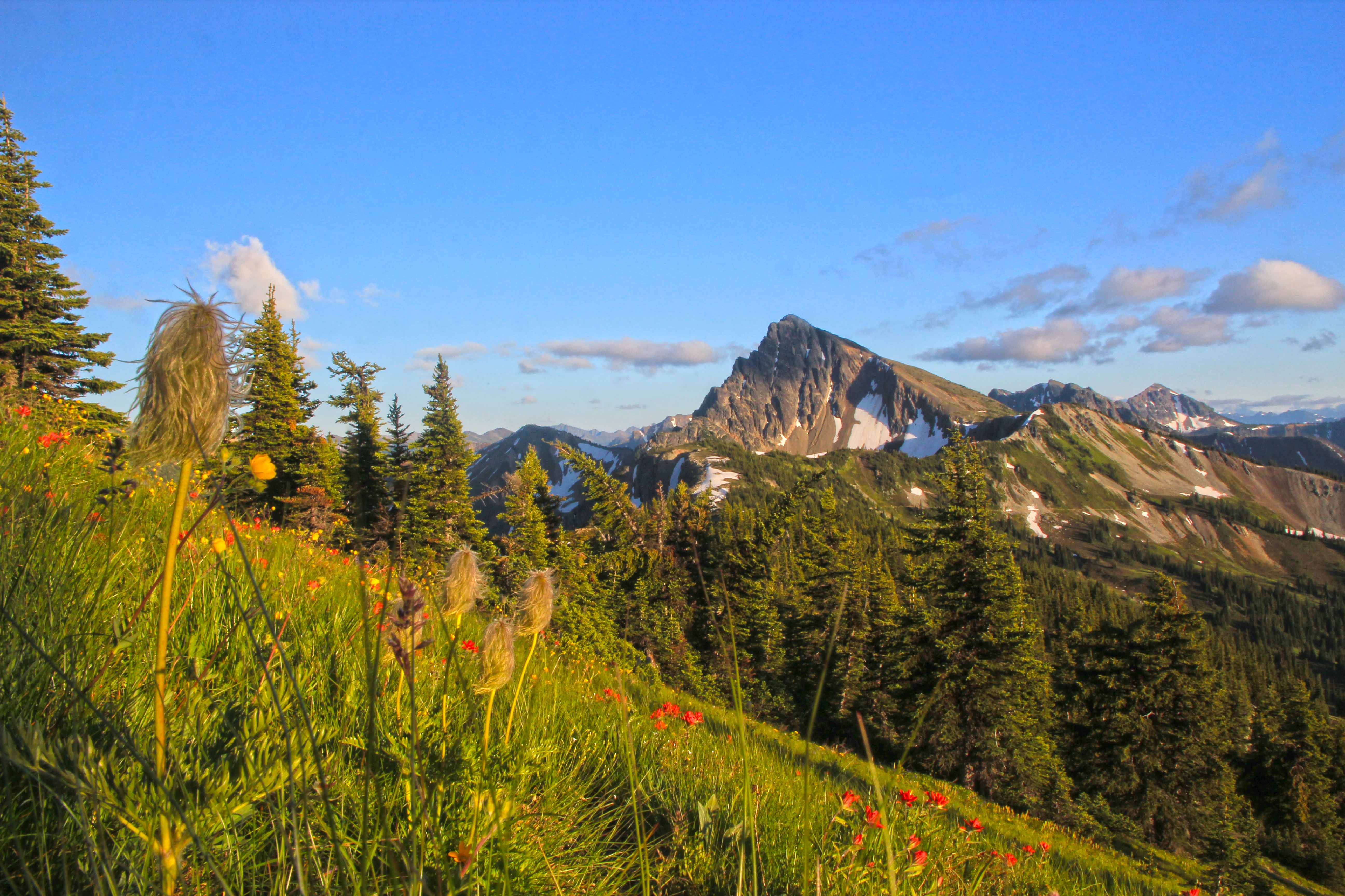
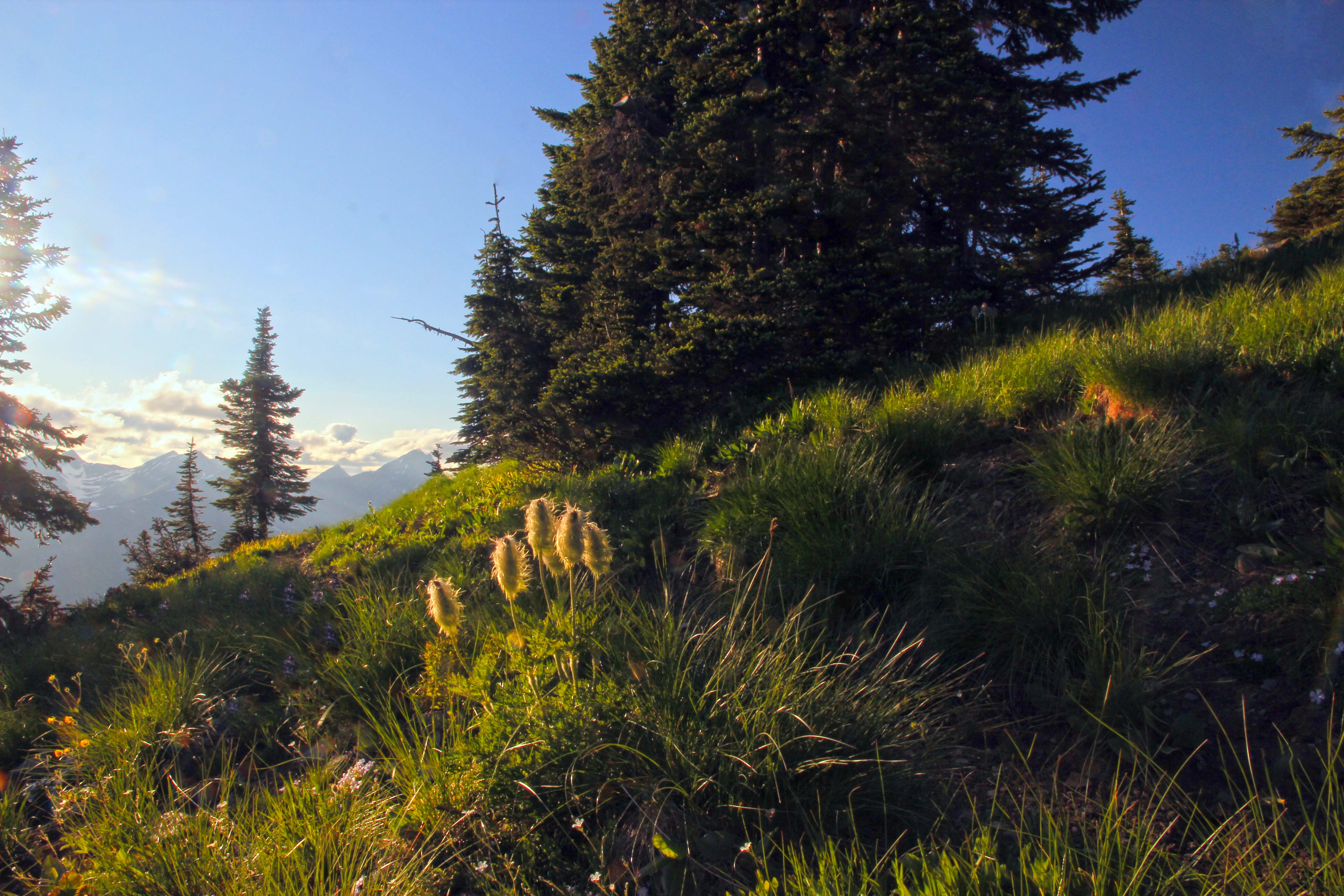
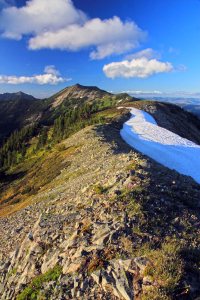
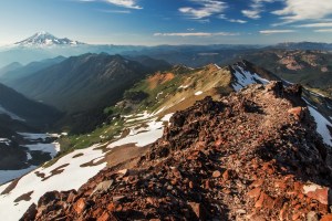
Lakeview Ridge, Pasayten Wilderness
This is one of the highest points along the Pacific Crest Trail in Washington, located just south of the Canadian border. The hike in is sublime, from the trailhead at Slate Peak you will meander up Rock Pass and shoot through Windy Pass onto Lakeview Ridge. Covered with wildflowers and affording views in every direction, you will have a hard time leaving.
-

- Pasayten Wilderness

-

- PCT near Goat Lakes
-

- Rainbows at Rock Pass
-

- View from Lakeview Ridge
-

- Flowers at Lakeview Ridge
-
- View from the top
-
- Evening at Lakeview Ridge
-

- Late afternoon light
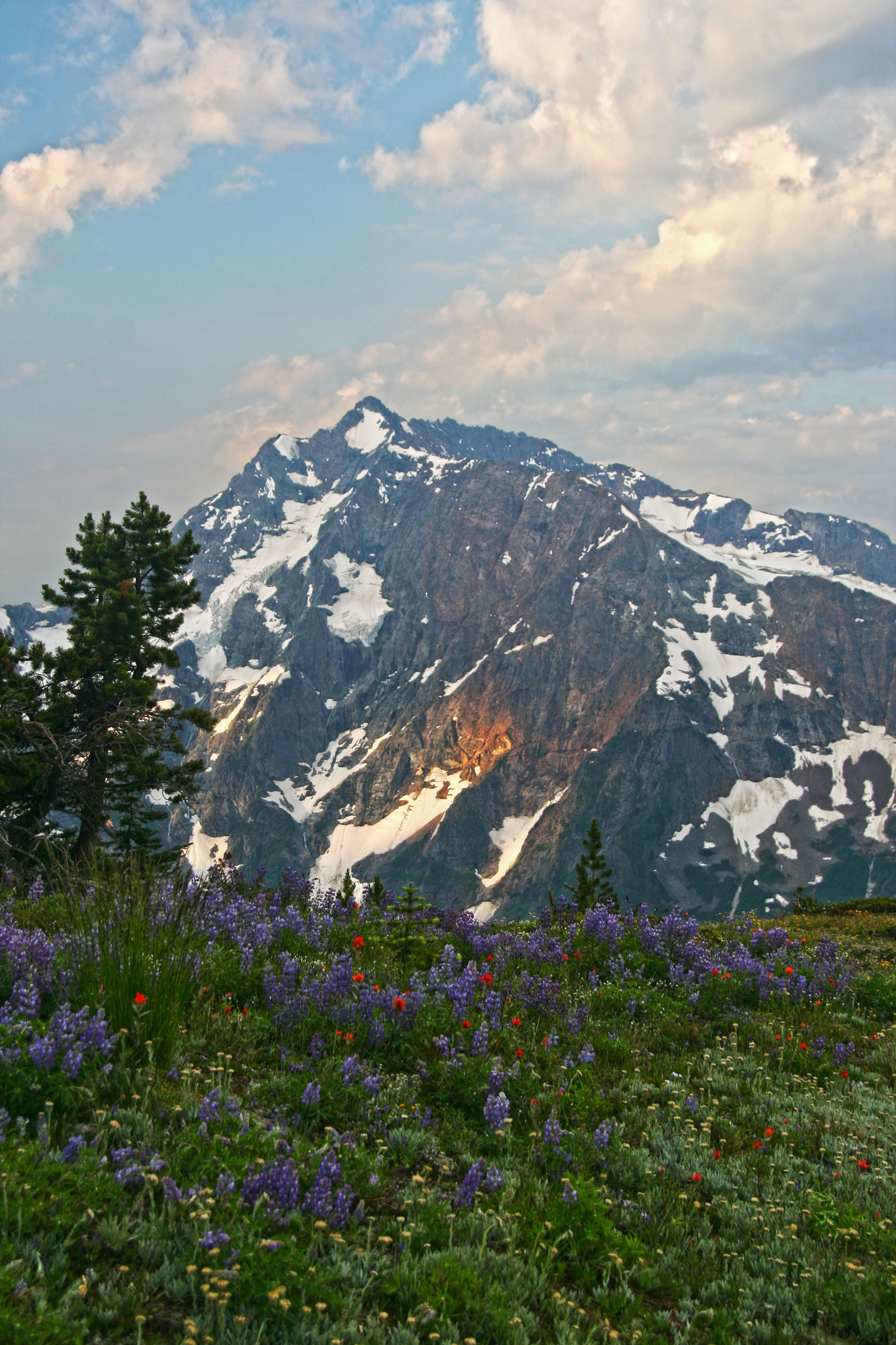
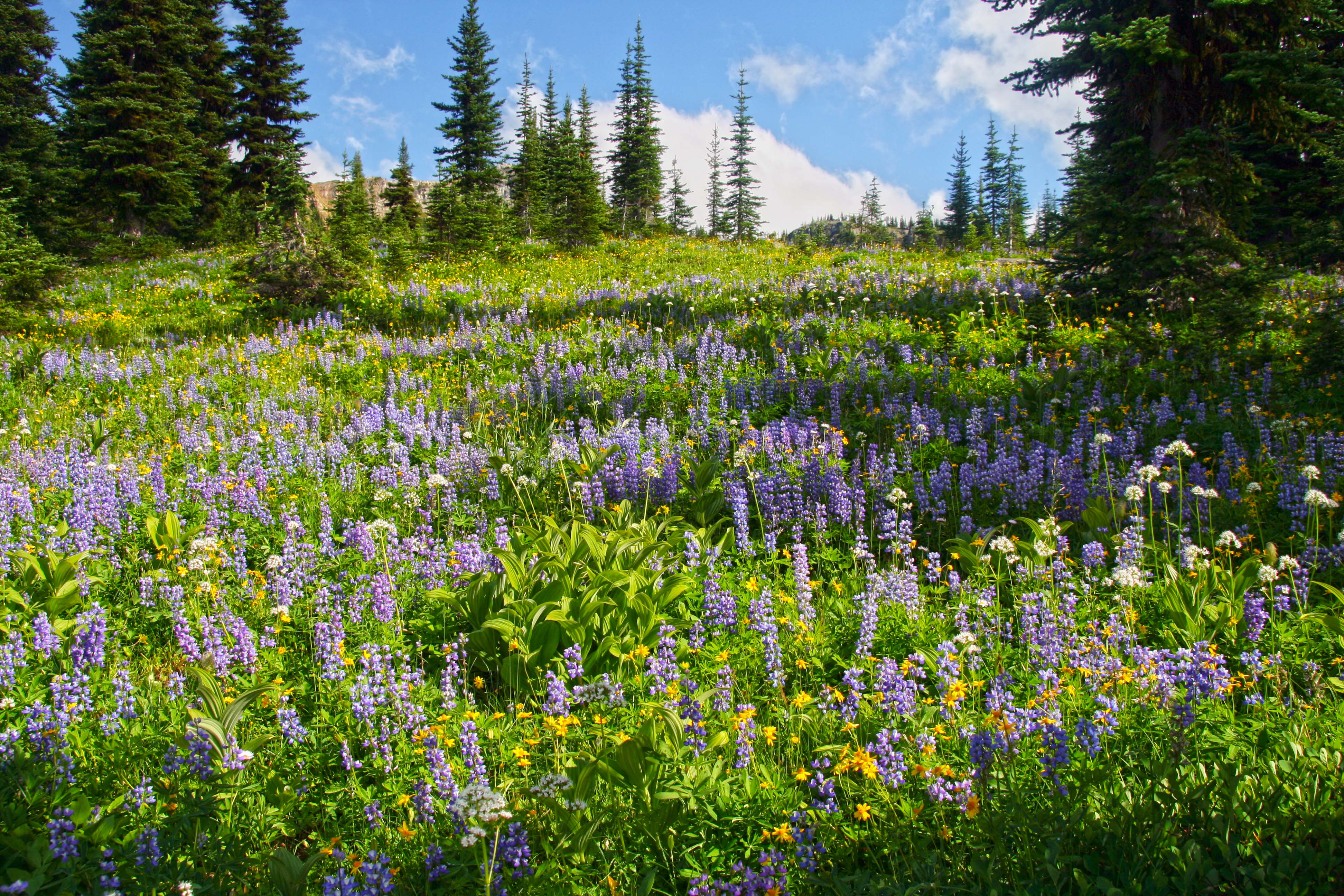
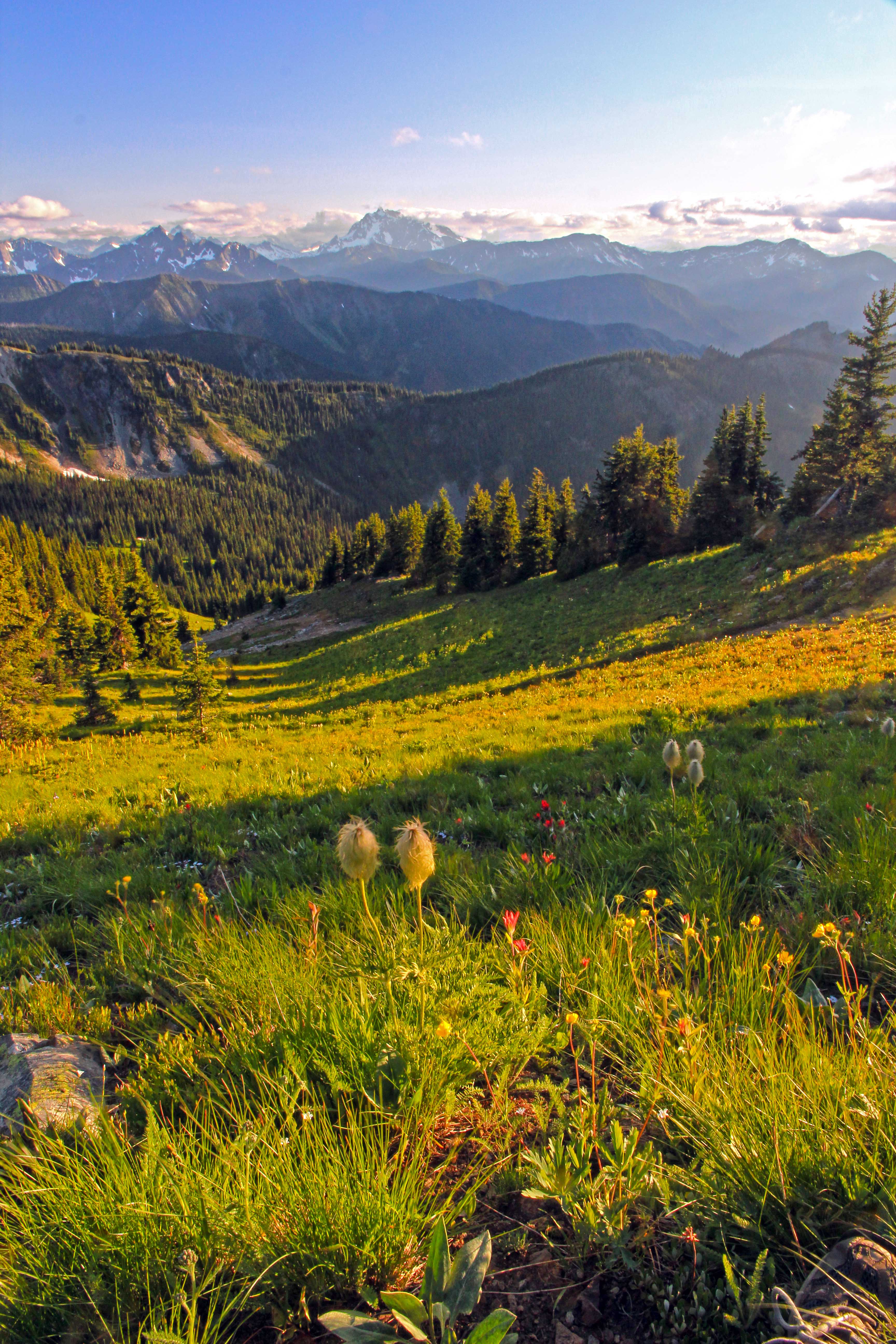
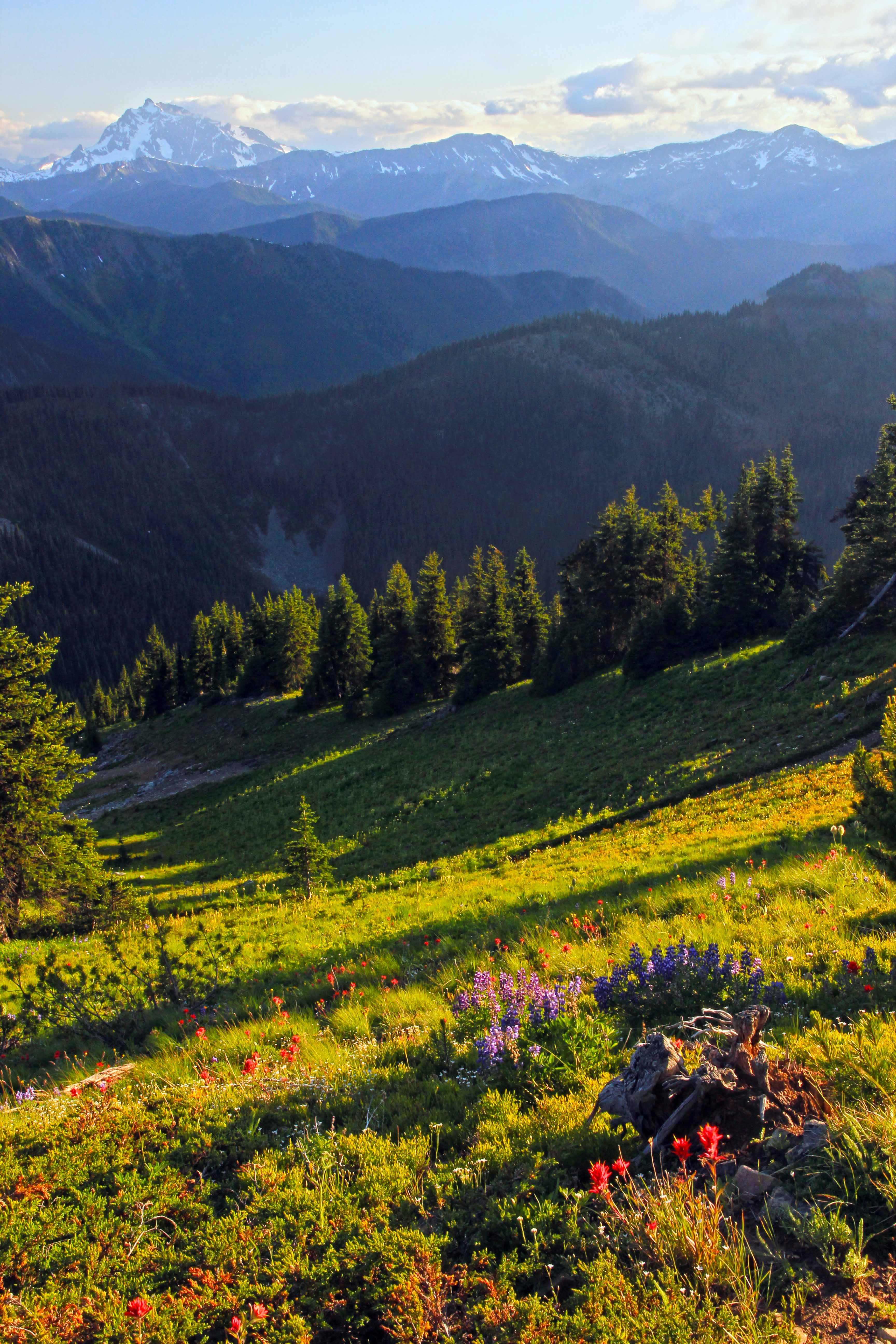
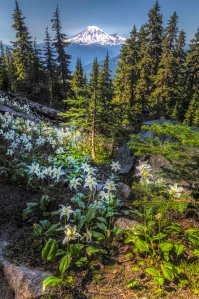
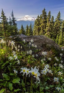
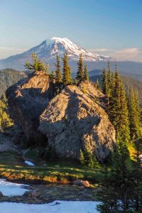
Snow Grass Flats, Goat Rocks Wilderness
If you want to have it all, this is the place to come camp! Endless meadows carpeted with wildflowers, views of both Mount Rainier AND Mount Adams, great camping spots and…what else is there? From the Snow Grass Flats trail head hike up, up, up, the higher you camp, the better the views. Don’t miss a visit to the Knife’s Edge, its close by.
-

- Mt Rainier
-

- Snow Grass Flats and Mount Adams
-
- Lillies
-

- Mount Rainier and Beargrass from the Lily Basin Trail
-

- Split Rock
-

- Paintbrush
Please take a minute and send me YOUR favorite camping spots, with a picture, if you can!
If you are interested in buying fine art prints or canvas wraps of any of these images, here is the link.