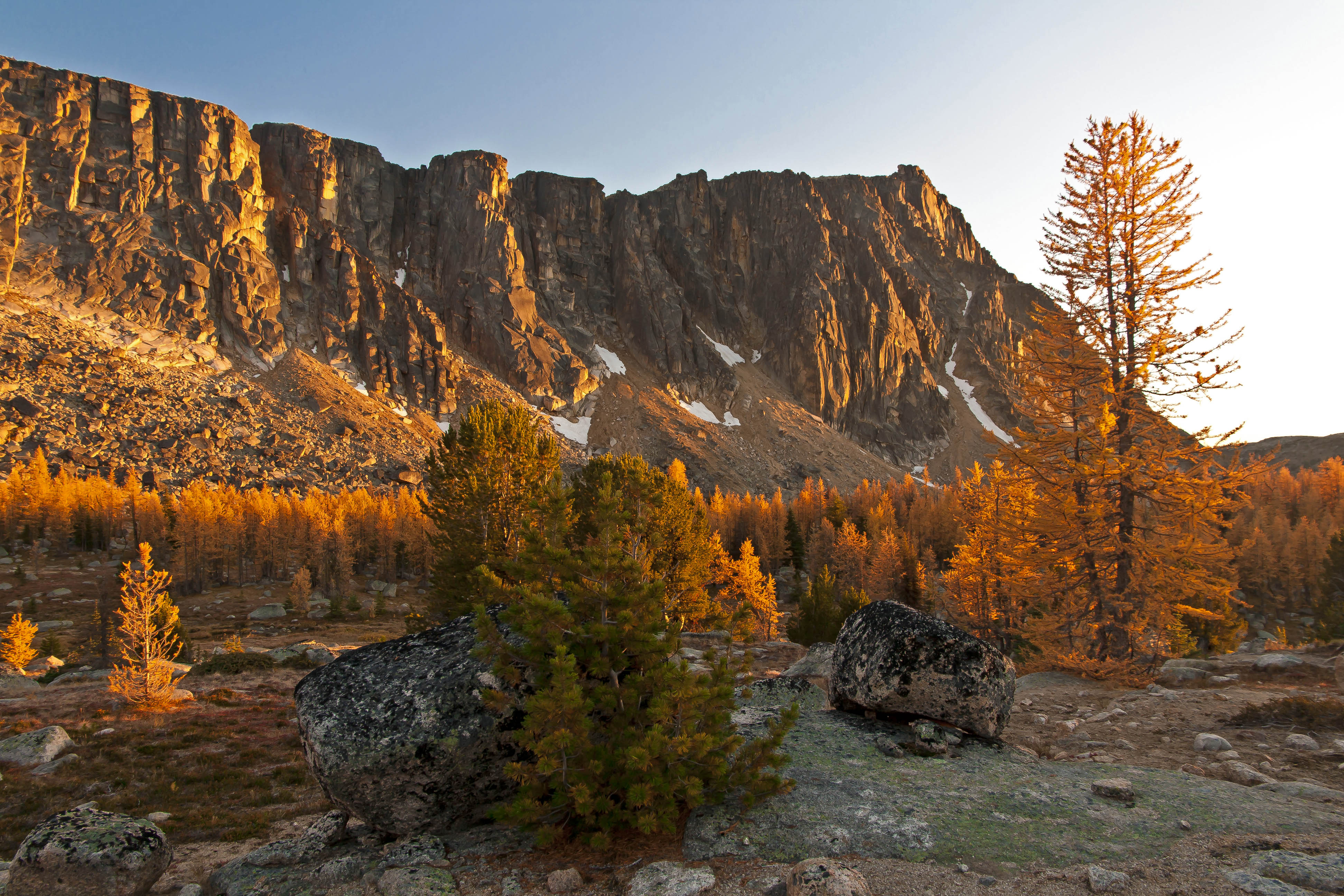
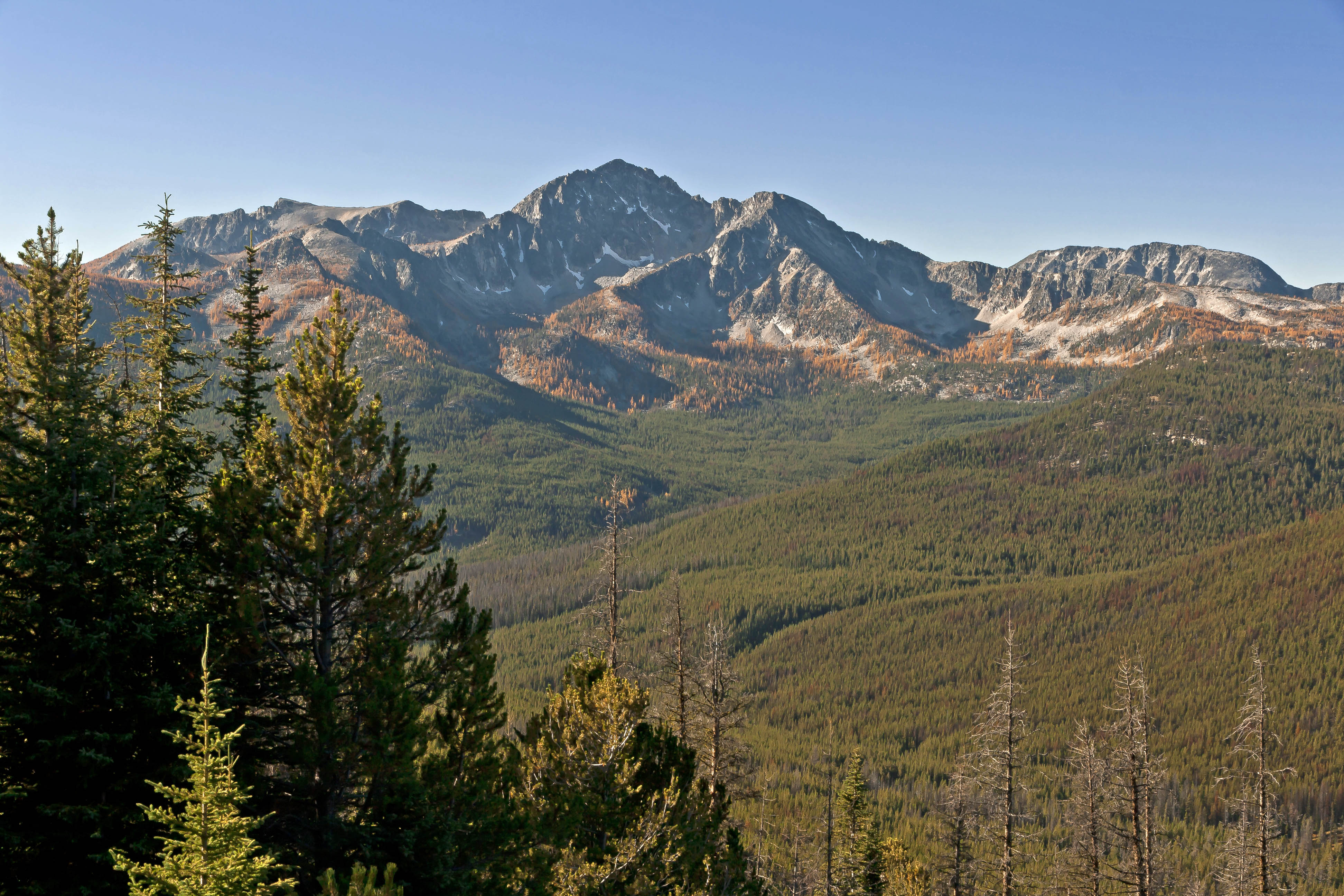
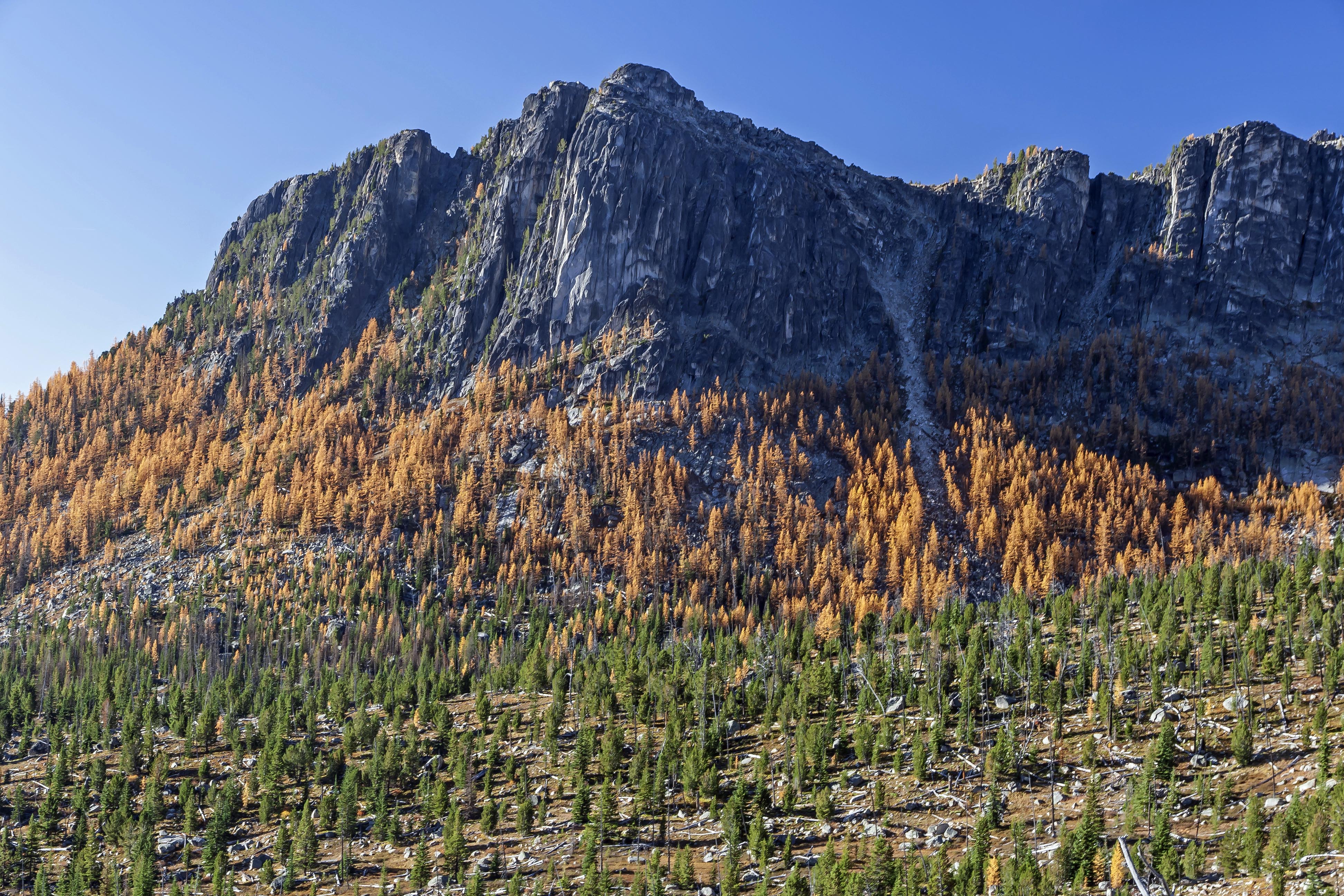
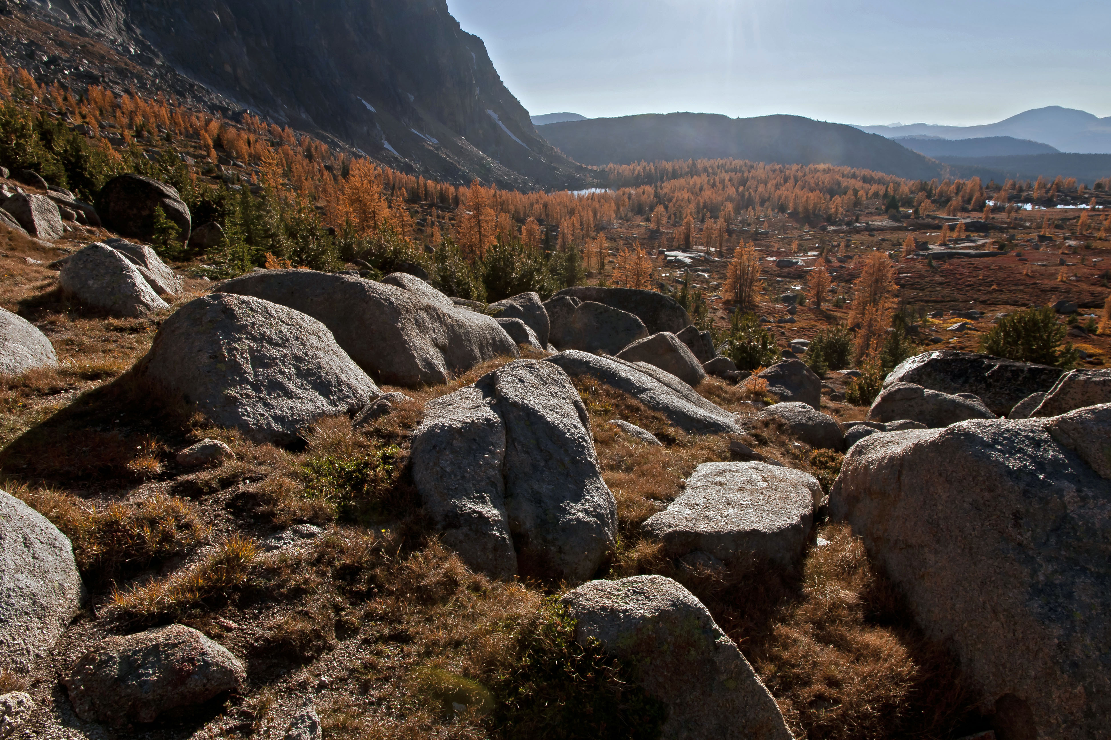
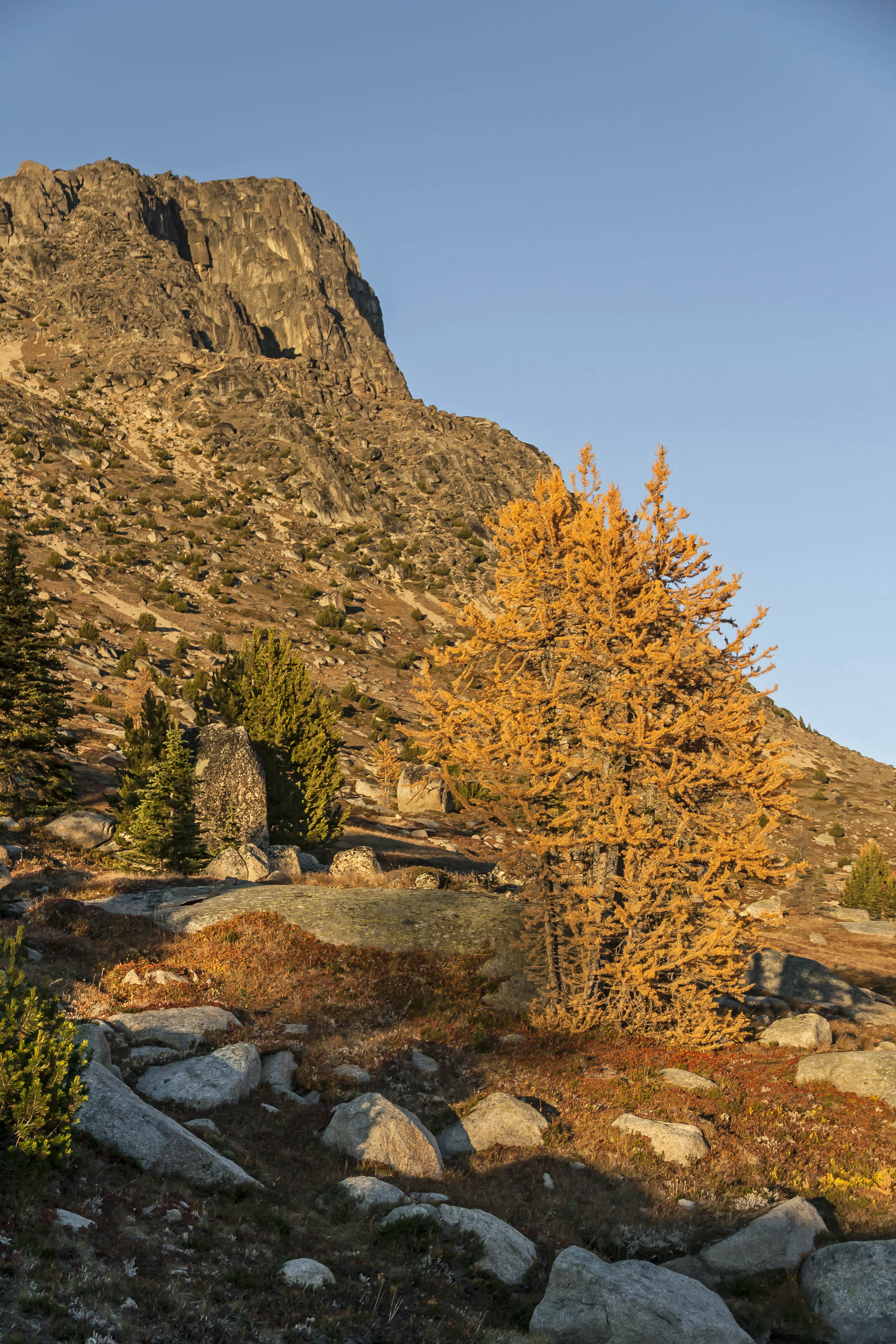
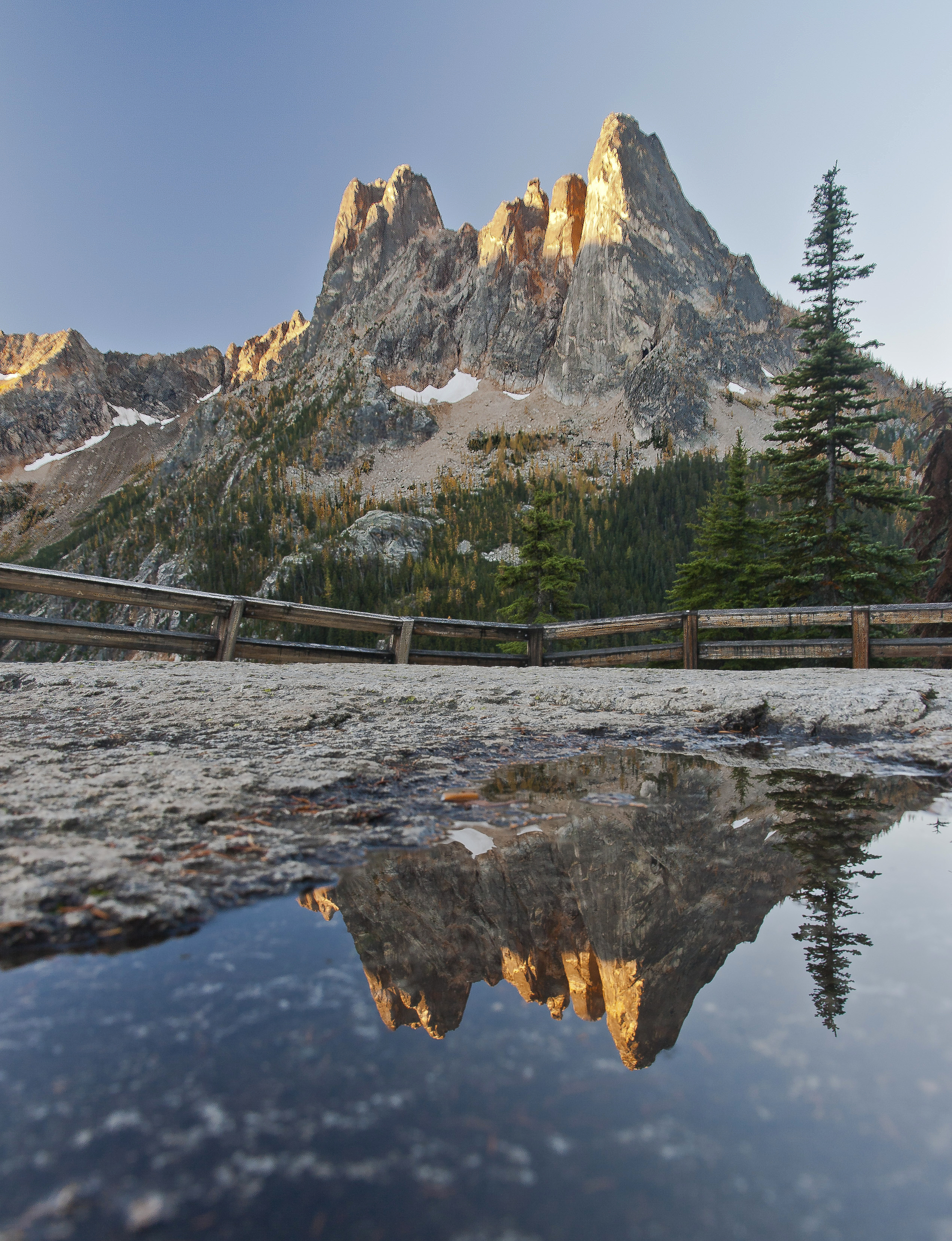
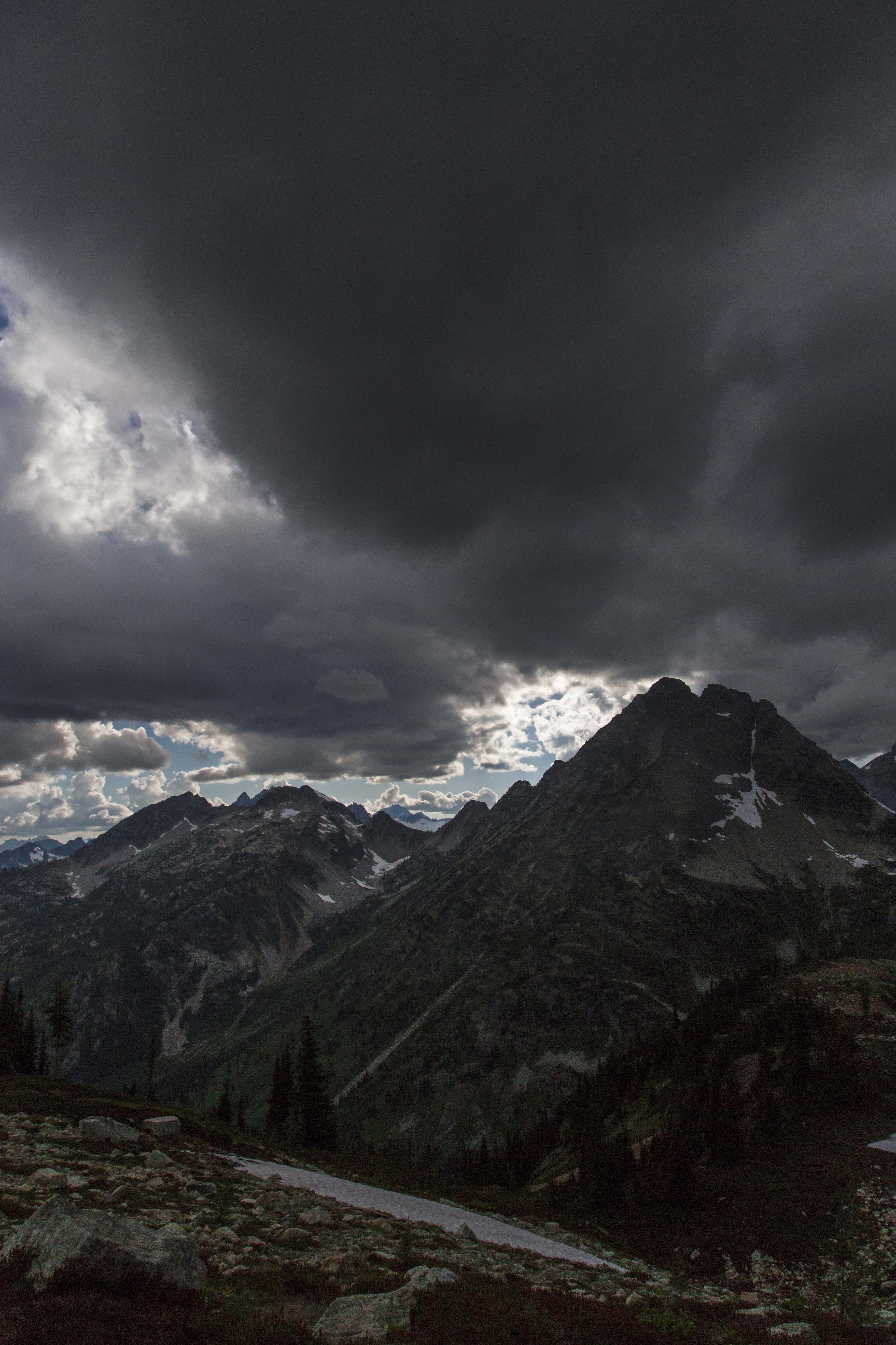
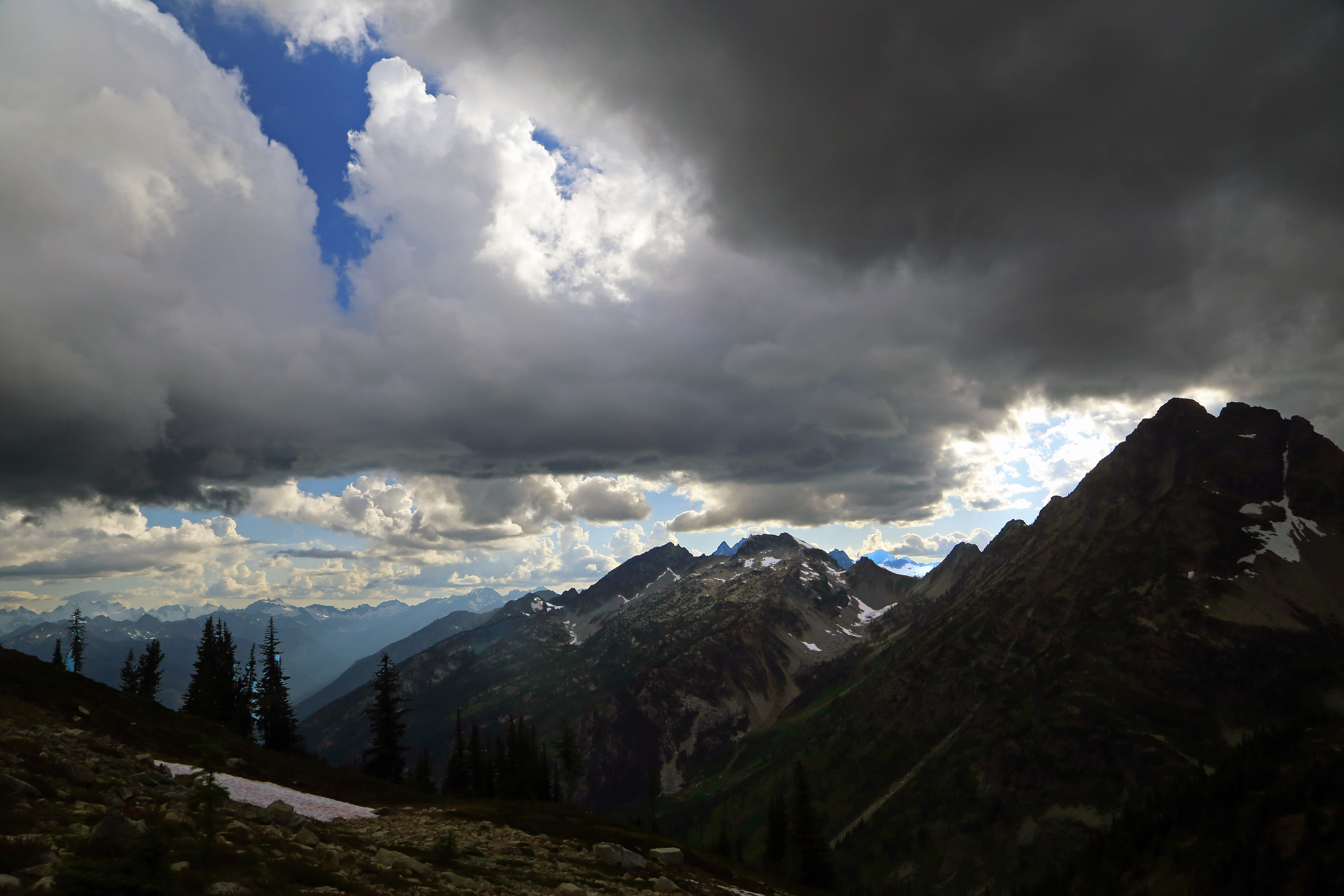
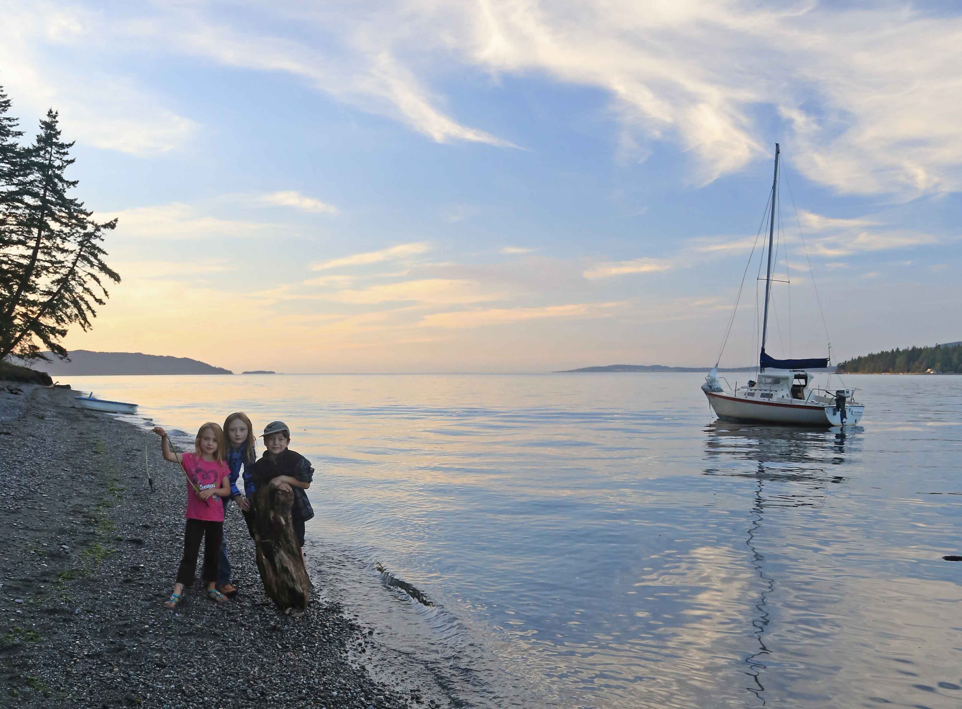
Visiting the North Cascades National Park often offer the possibility of encountering some local denizens. Some of the locals I have run into are: mountain goats (usually at higher altitudes, looking for salt); Black Bears (most often in August, busy foraging); and Deer, of all varieties. I have also had the good fortune to cross paths with salmon, marmots, pika and ptarmigan. 2 years ago I had a close (well, not that close) encounter with a wolverine in the Entiat Mountains and a Grizzly Bear in the Pasayten Wilderness, about a Mile from the Canada border. Alas, no pictures of these last two!
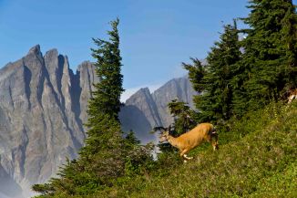
 Mountain Goat at Sahale Camp, North Cascades National Park
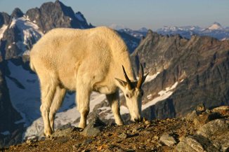 Mountain Goat at Sahale Camp, North Cascades National Park
 Visitor at Sahale Glacier Camp, North Cascades National Park
 Goat on Sahale Arm North Cascades National Park
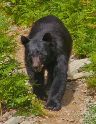 Bear at Horseshoe Basin, North Cascades National Park
 Bear at Horseshoe Basin, North Cascades National Park
 Bear at Horseshoe Basin, North Cascades National Park
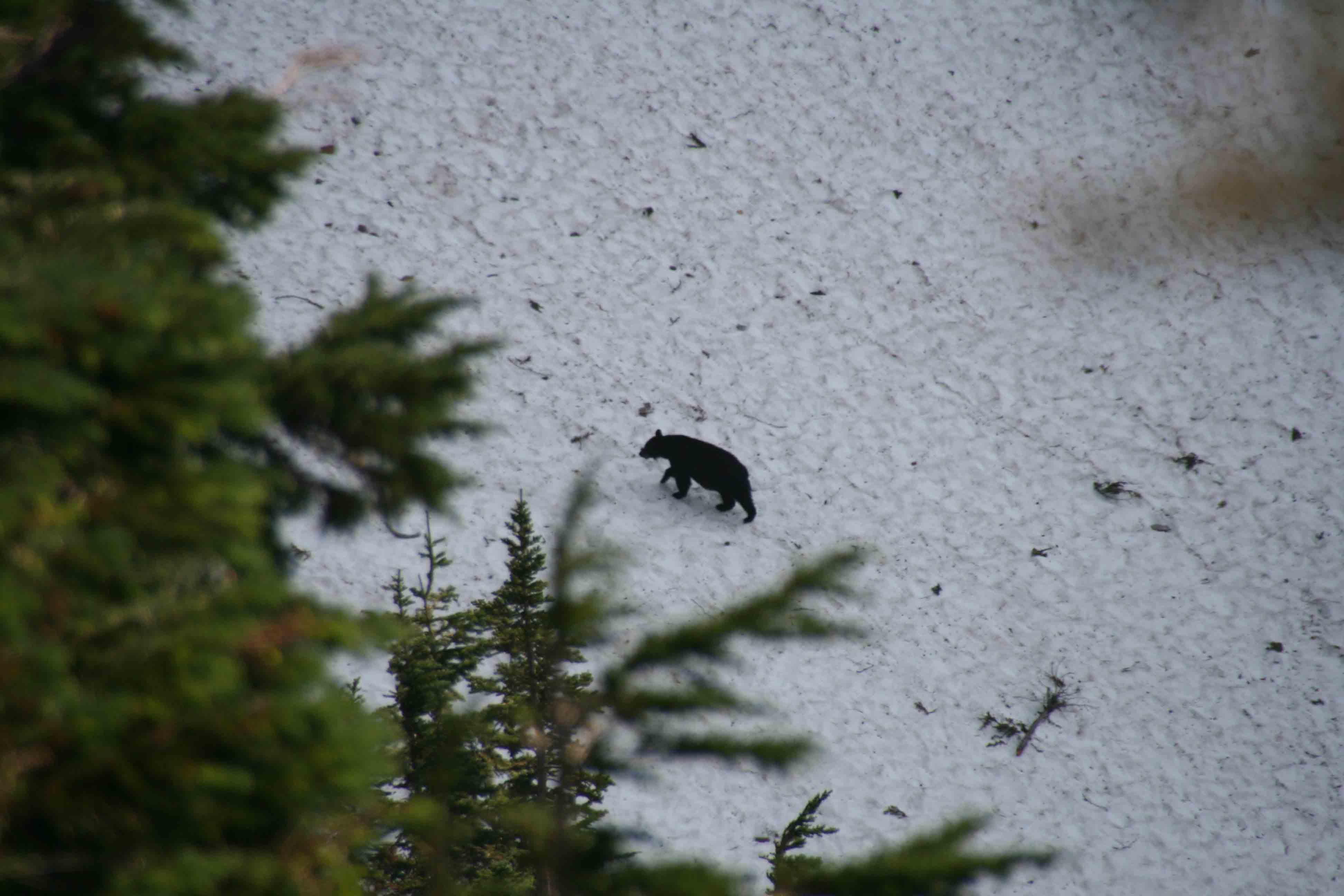
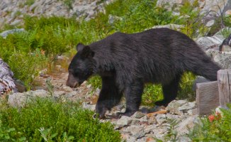
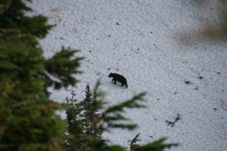 Bear crossing Park Creek Pass, North Cascades National Park
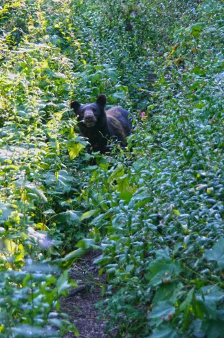 Black Bear on the Pacific Crest Trail, North Cascades National Park
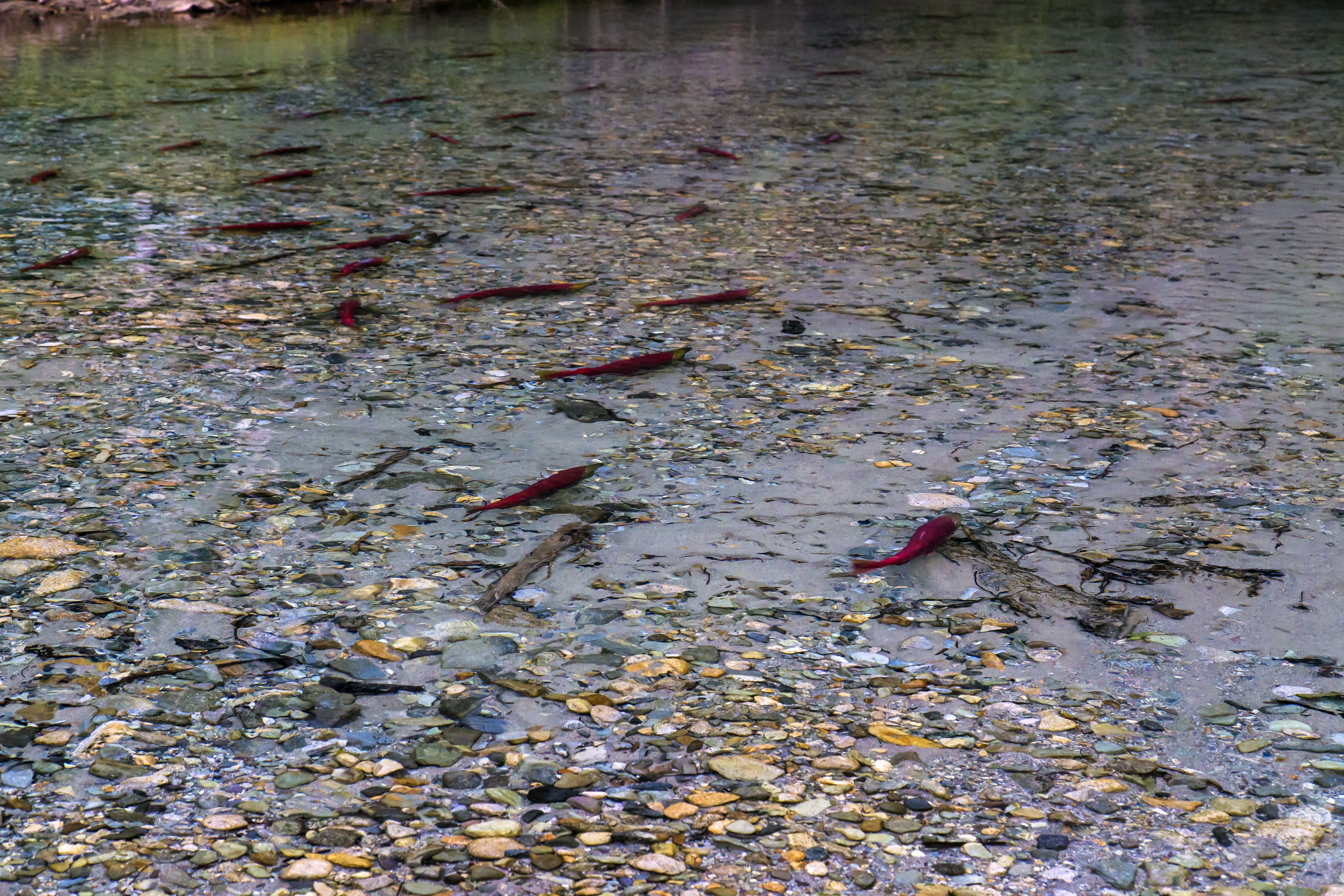
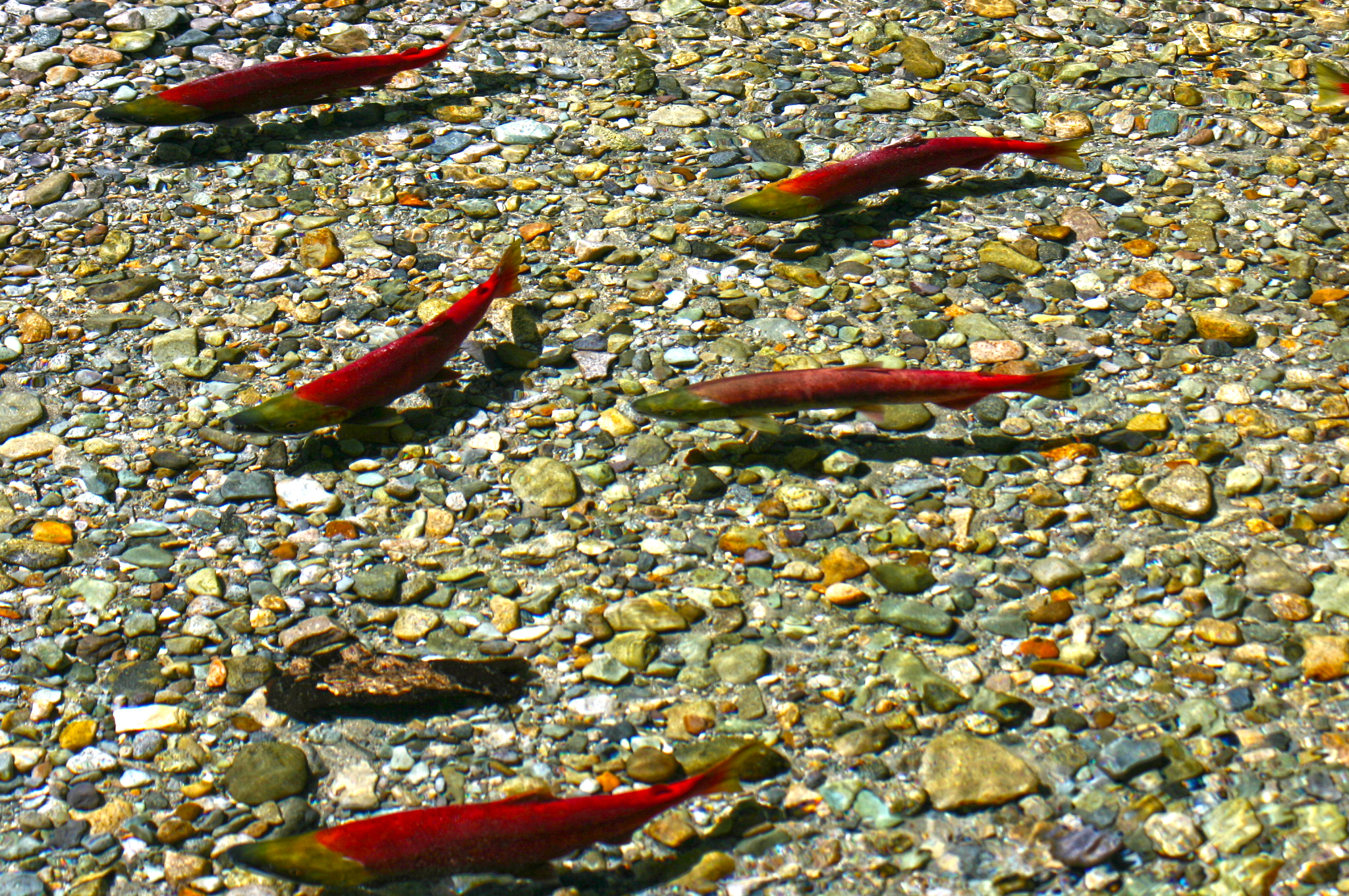
 Salmon Spawning, Indian Creek, North Cascades National Park
 Salmon Spawning, Indian Creek, North Cascades National Park
 Salmon Spawning, Indian Creek, North Cascades National Park
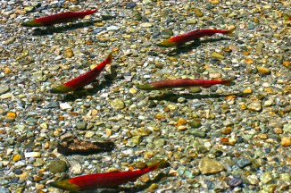 Salmon Spawning, Indian Creek, North Cascades National Park
 Salmon Spawning, Indian Creek, North Cascades National Park
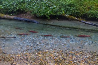 Salmon Spawning, Indian Creek, North Cascades National Park
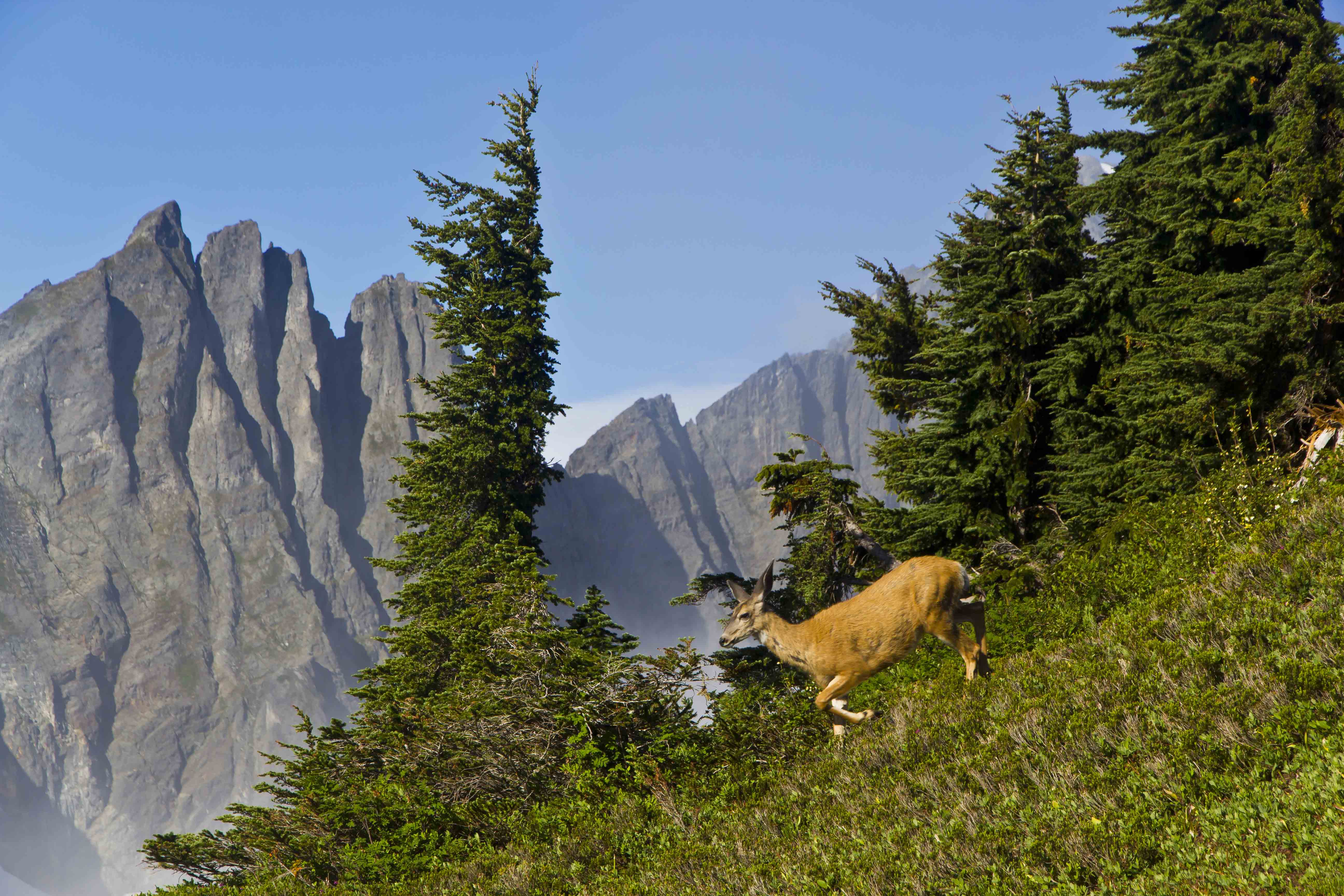
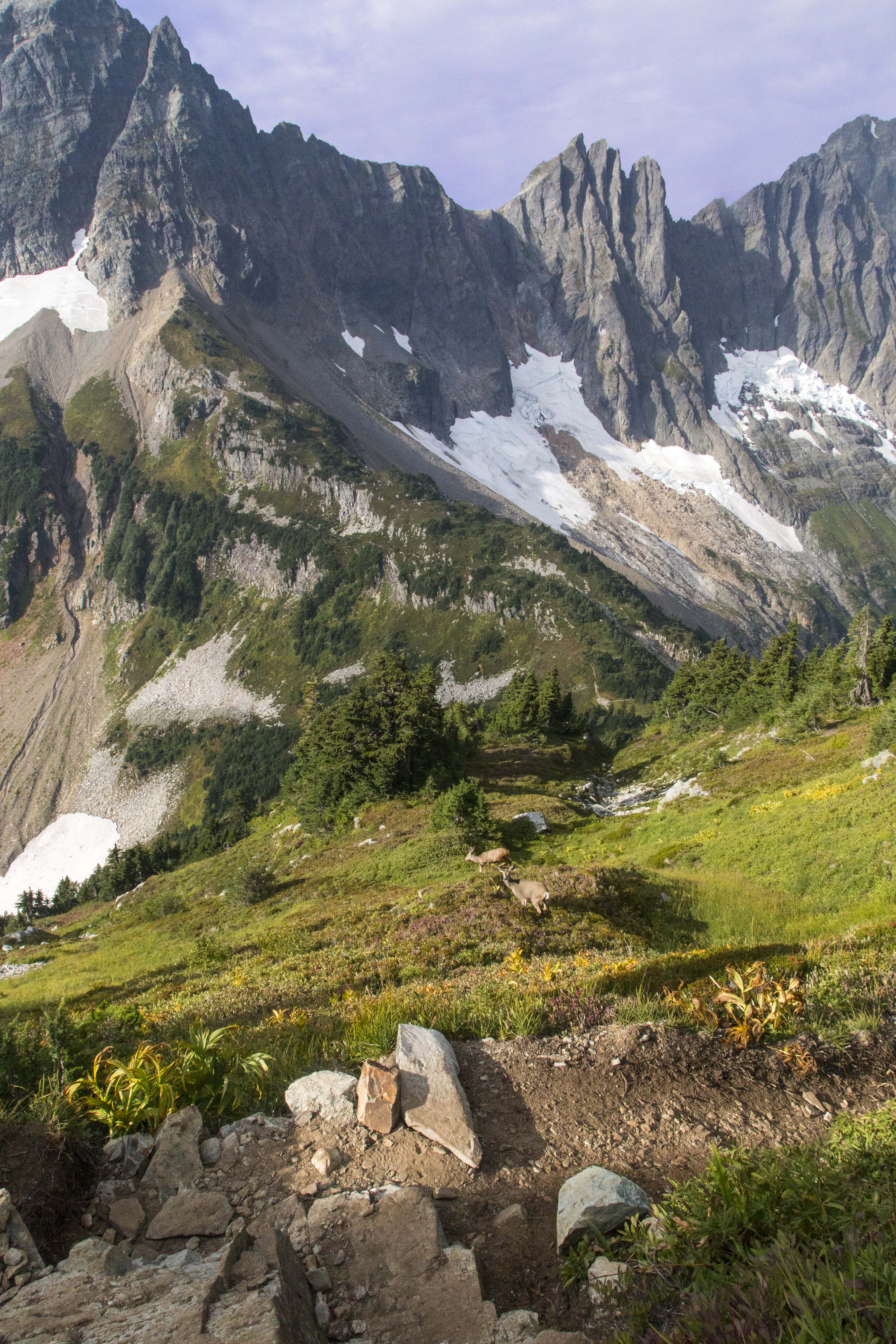
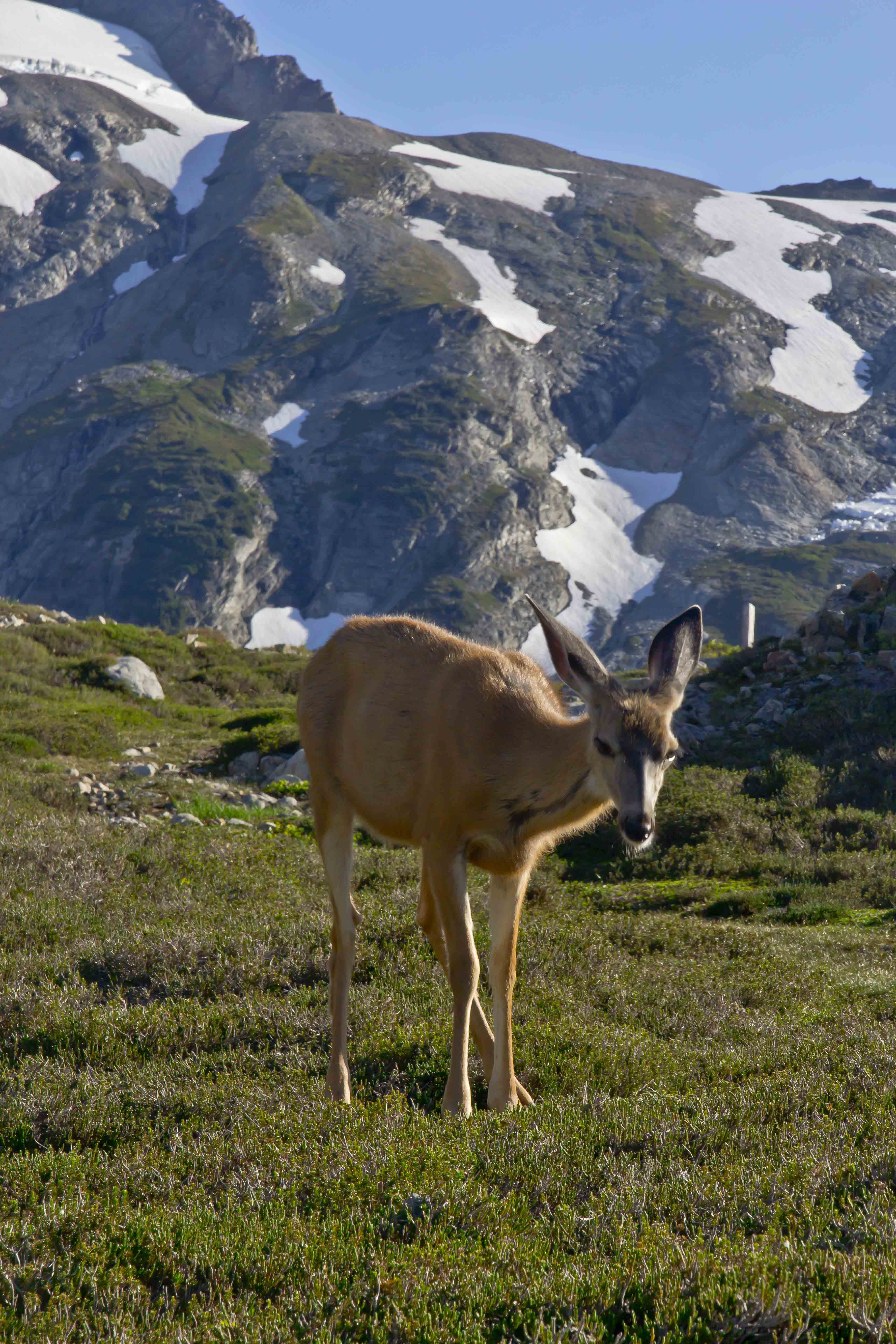
 Deer, just above Cascade Pass, North Cascades National Park
 Deer, just above Cascade Pass, North Cascades National Park
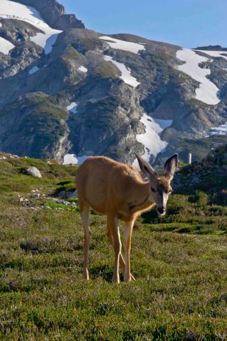 Deer, just above Cascade Pass, North Cascades National Park
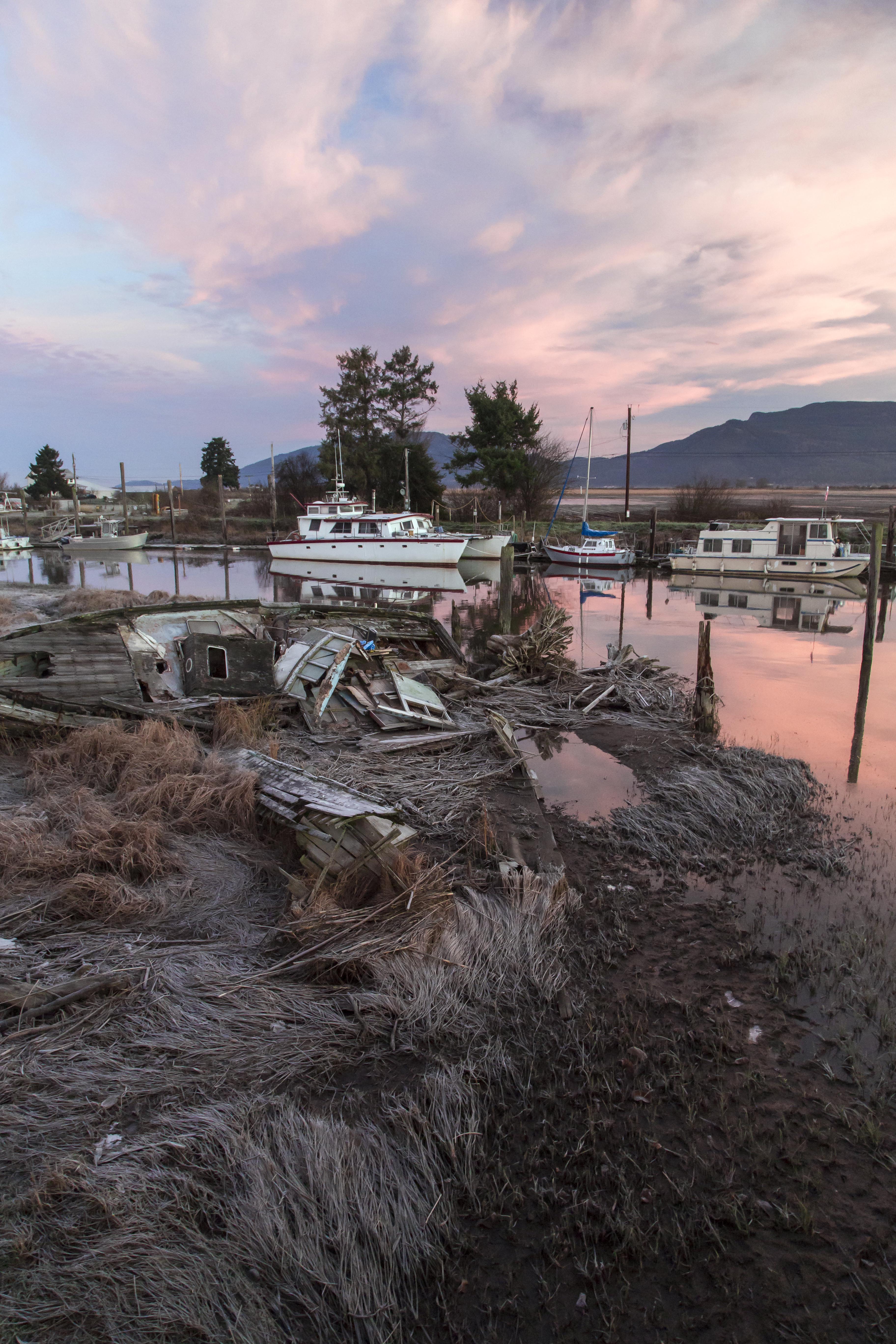
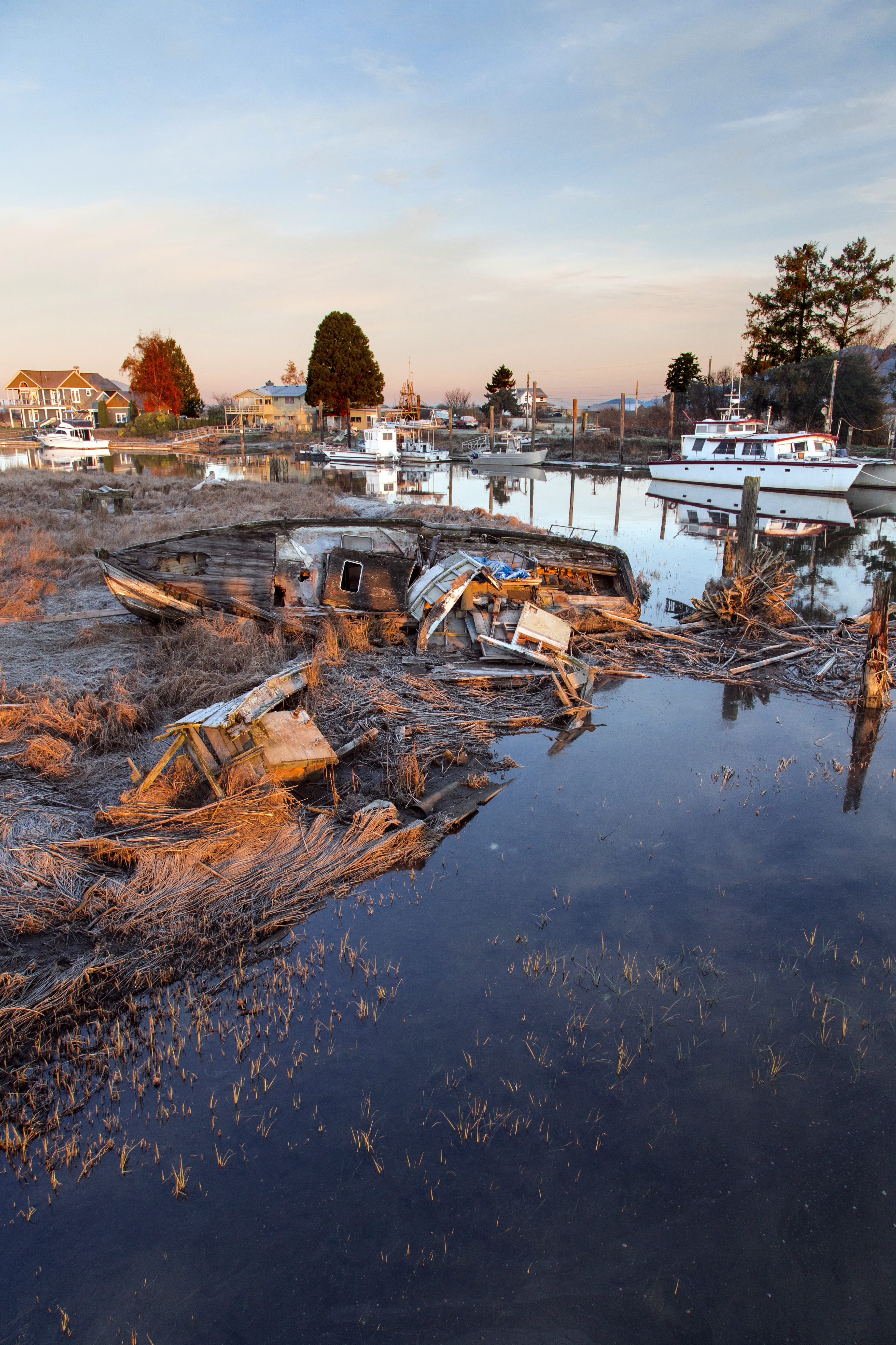
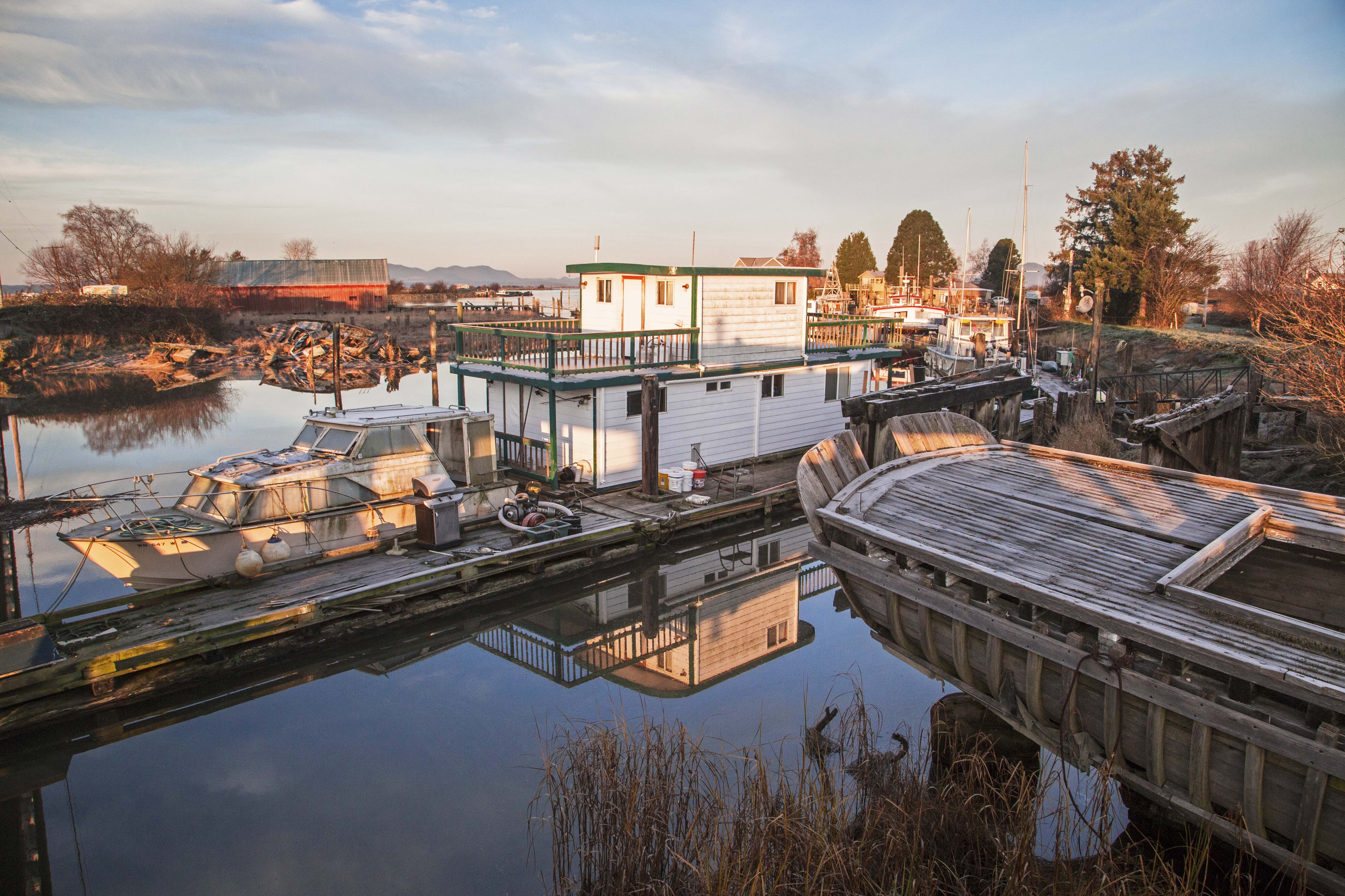
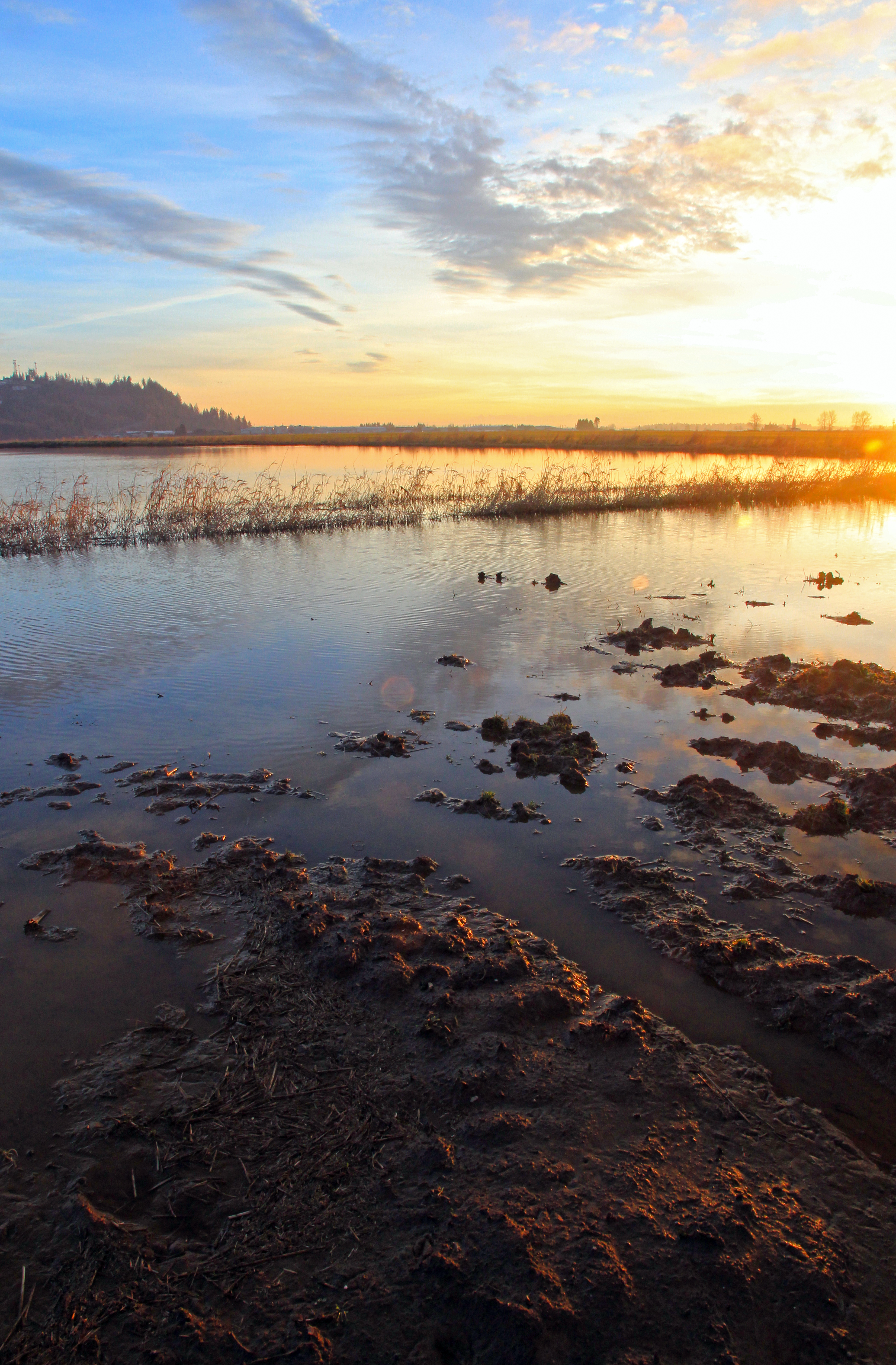
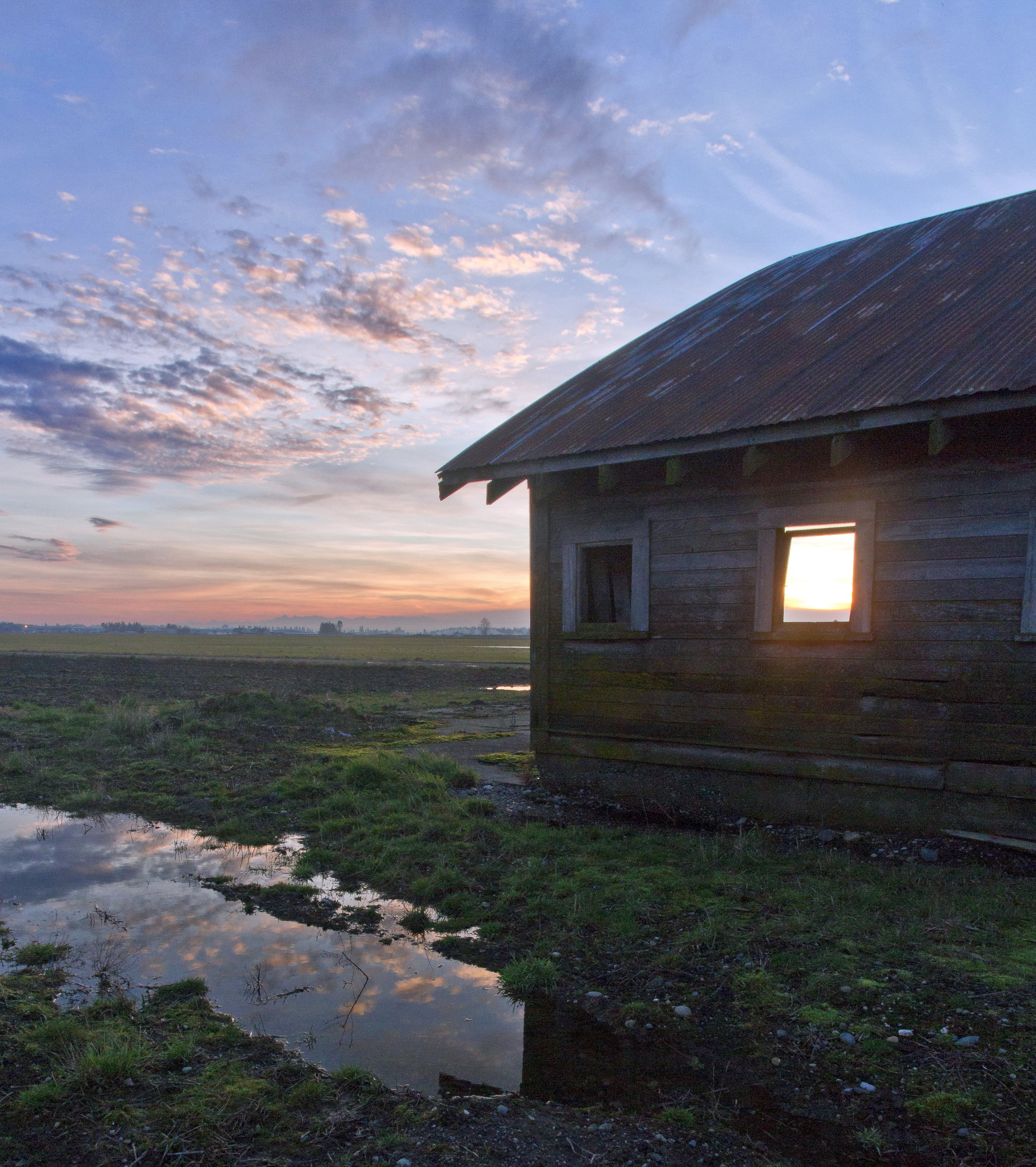
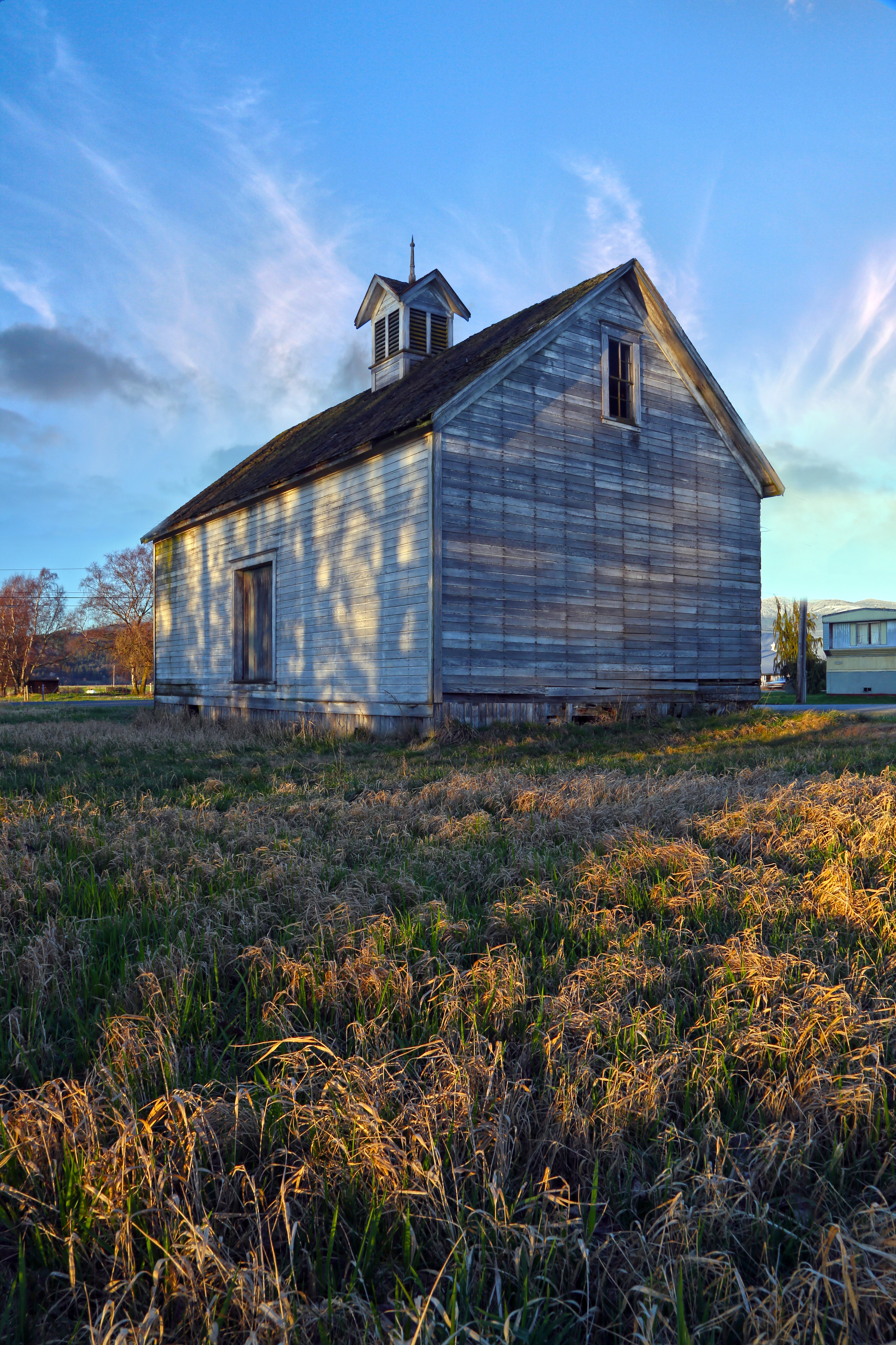
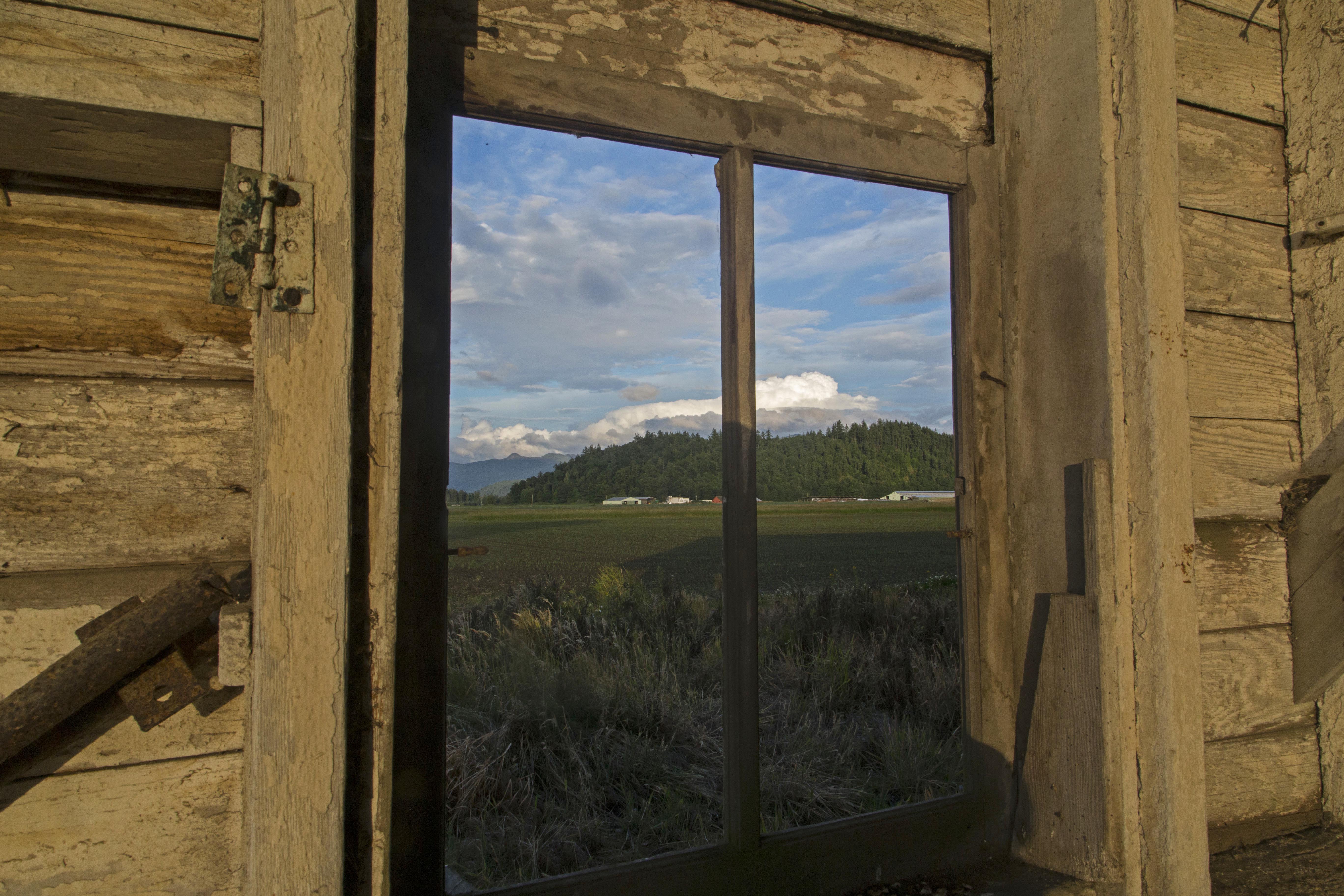
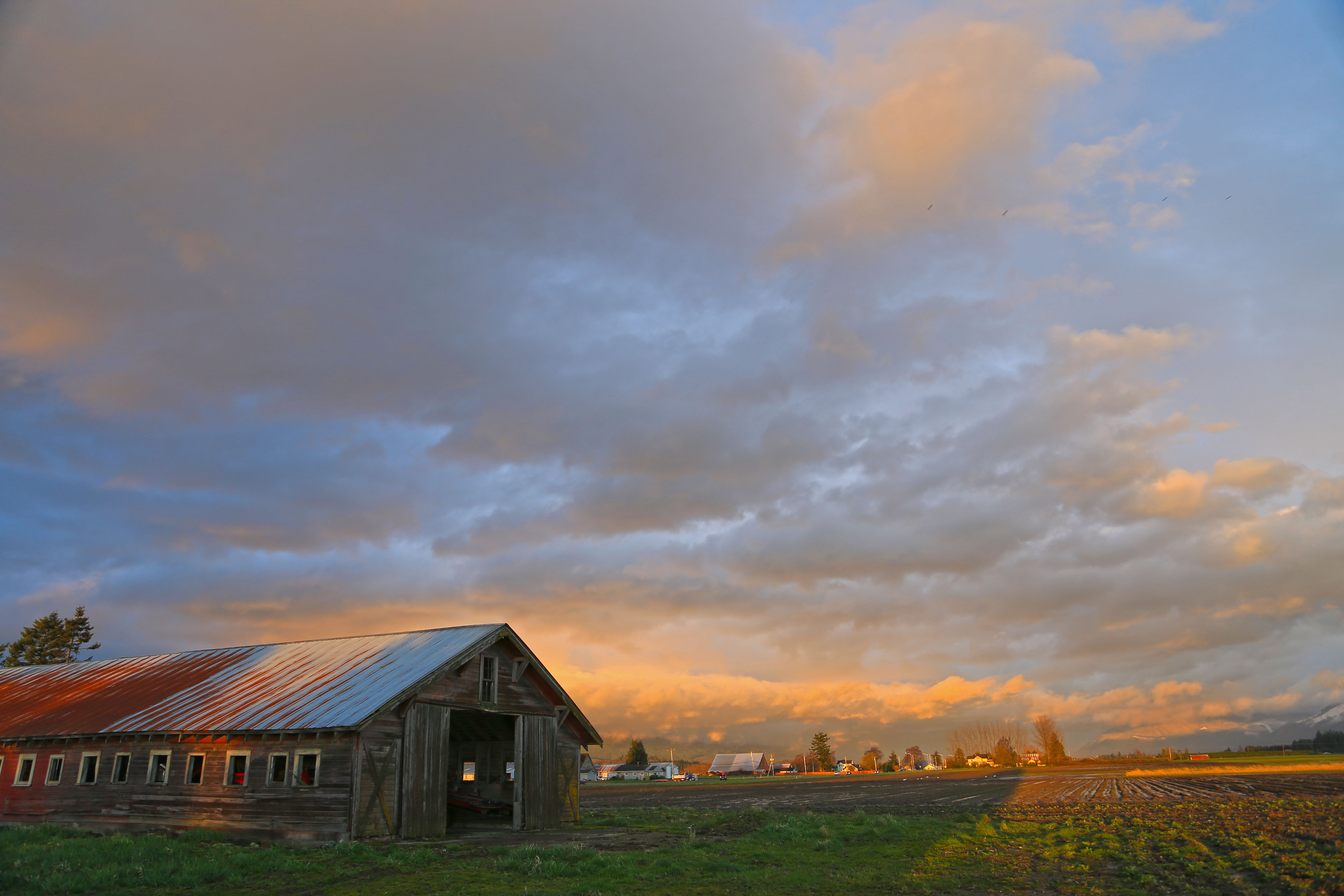
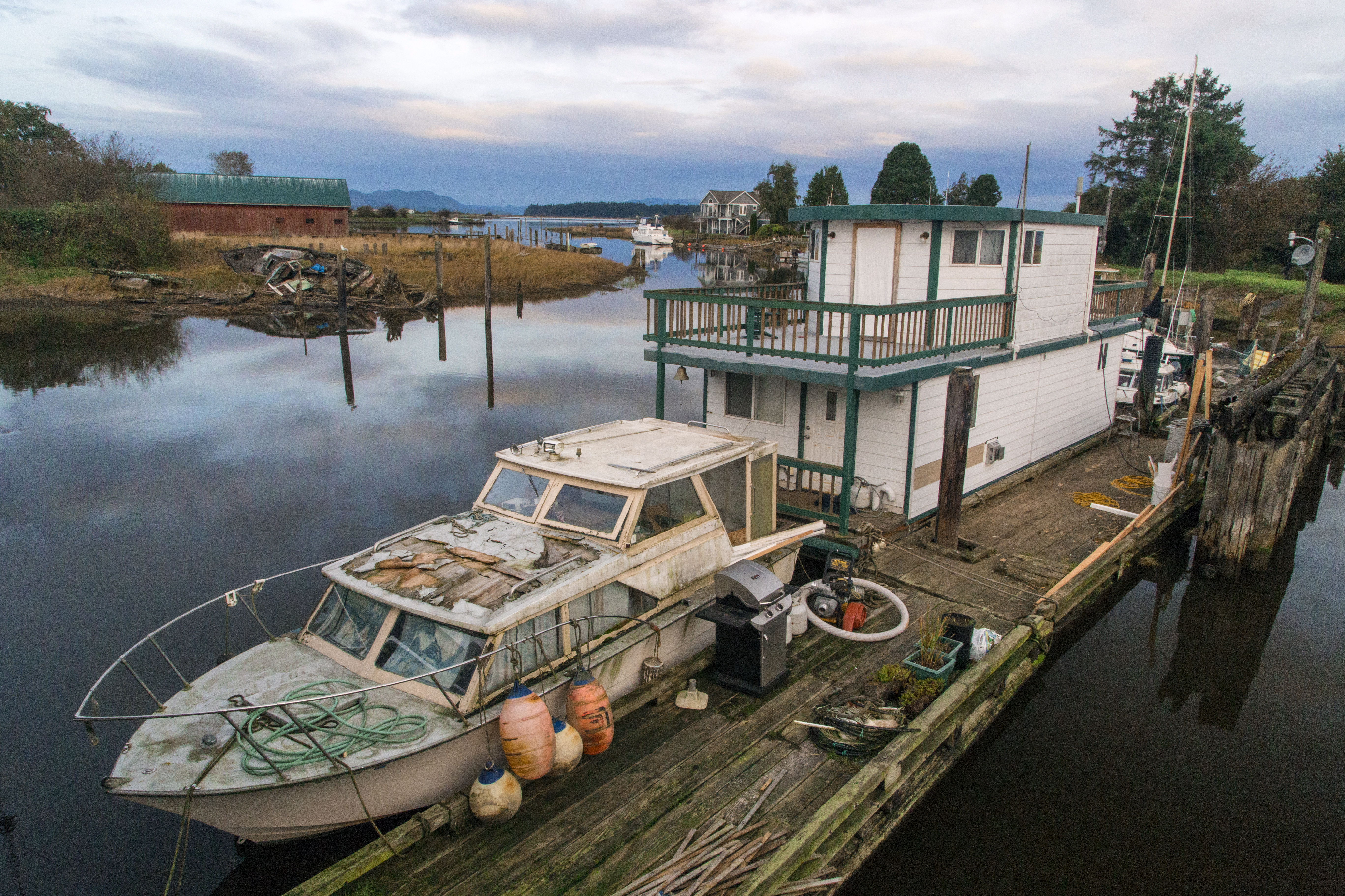
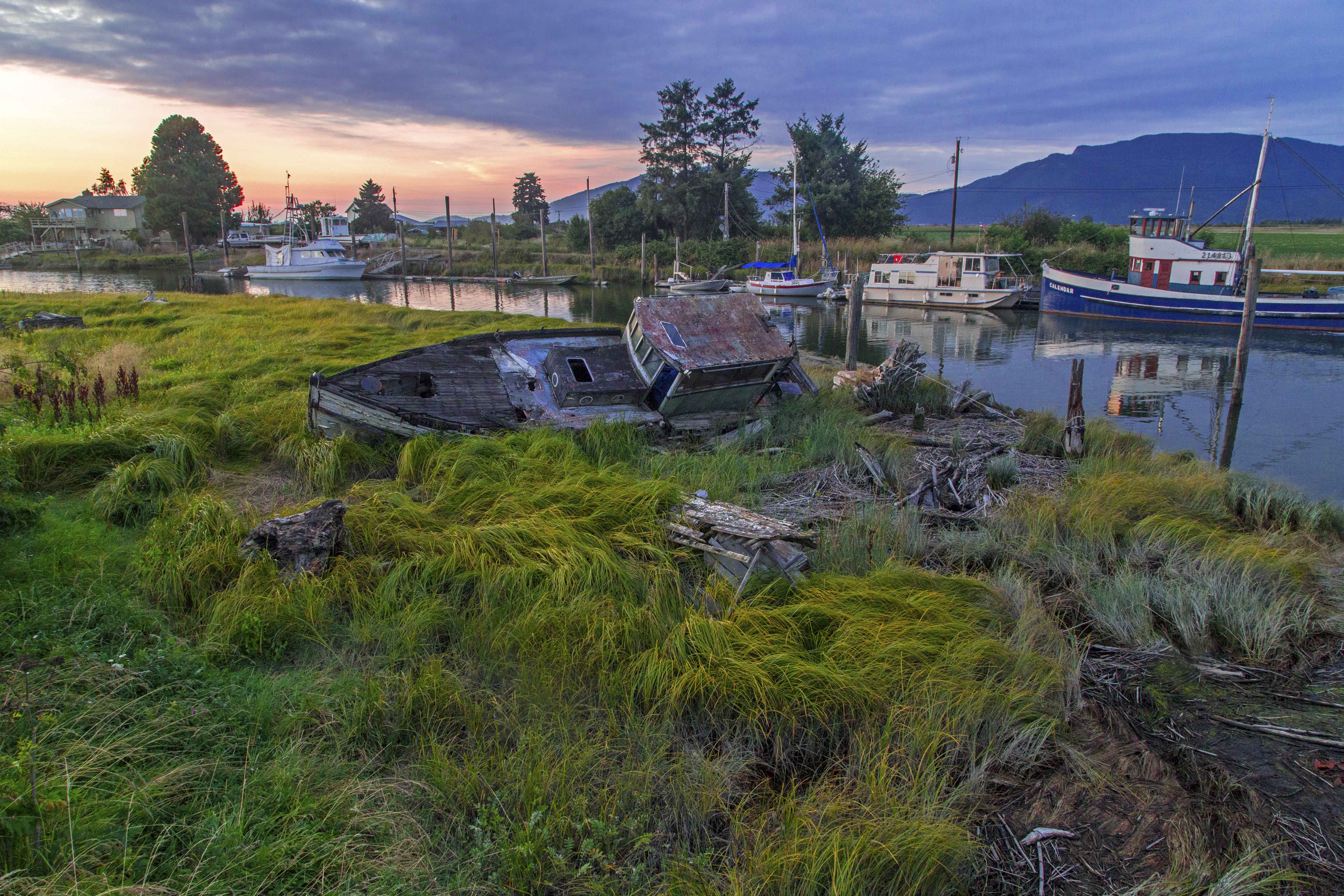
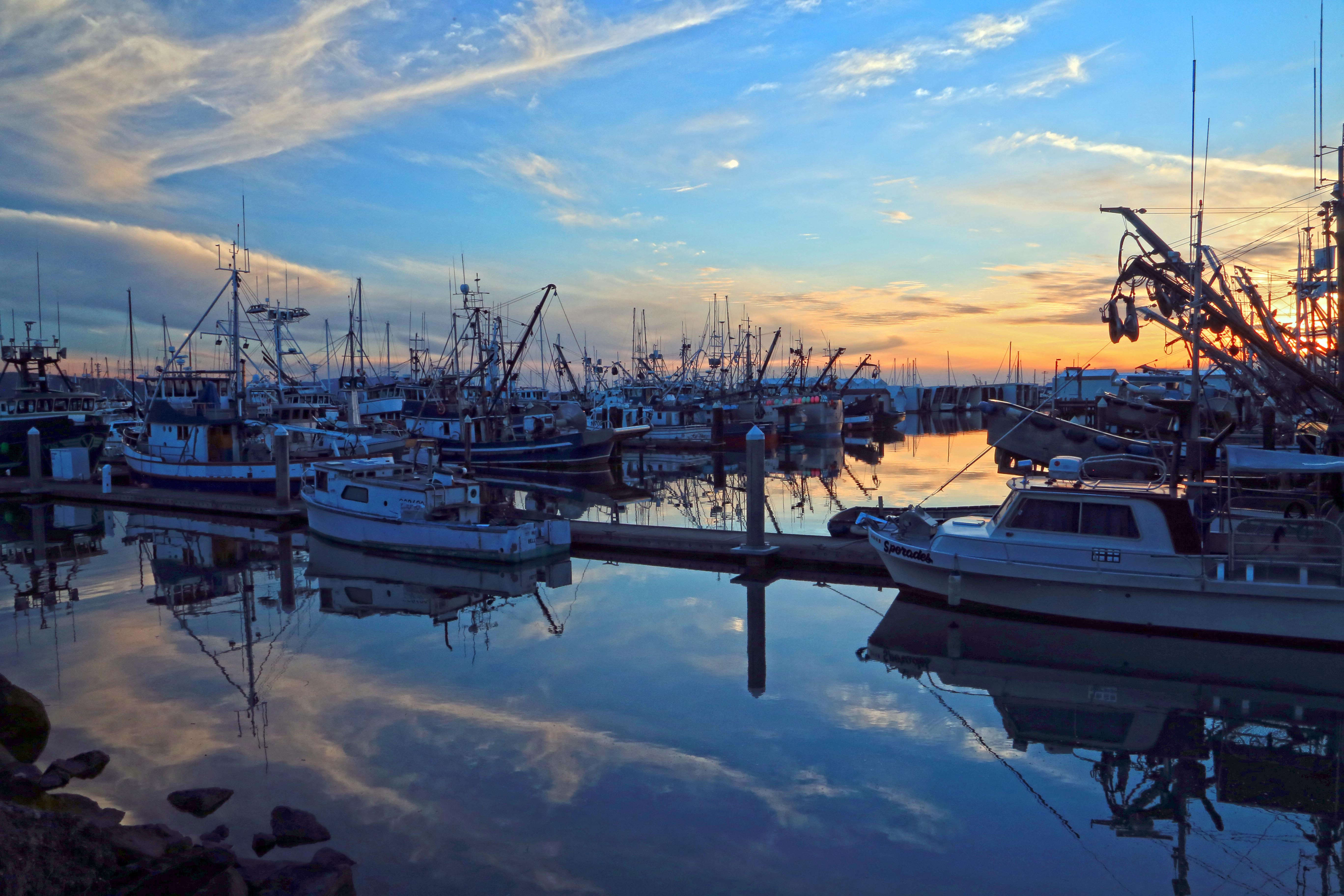
 Here is a barn along the way, on Farm To Market Road…