Copper Ridge

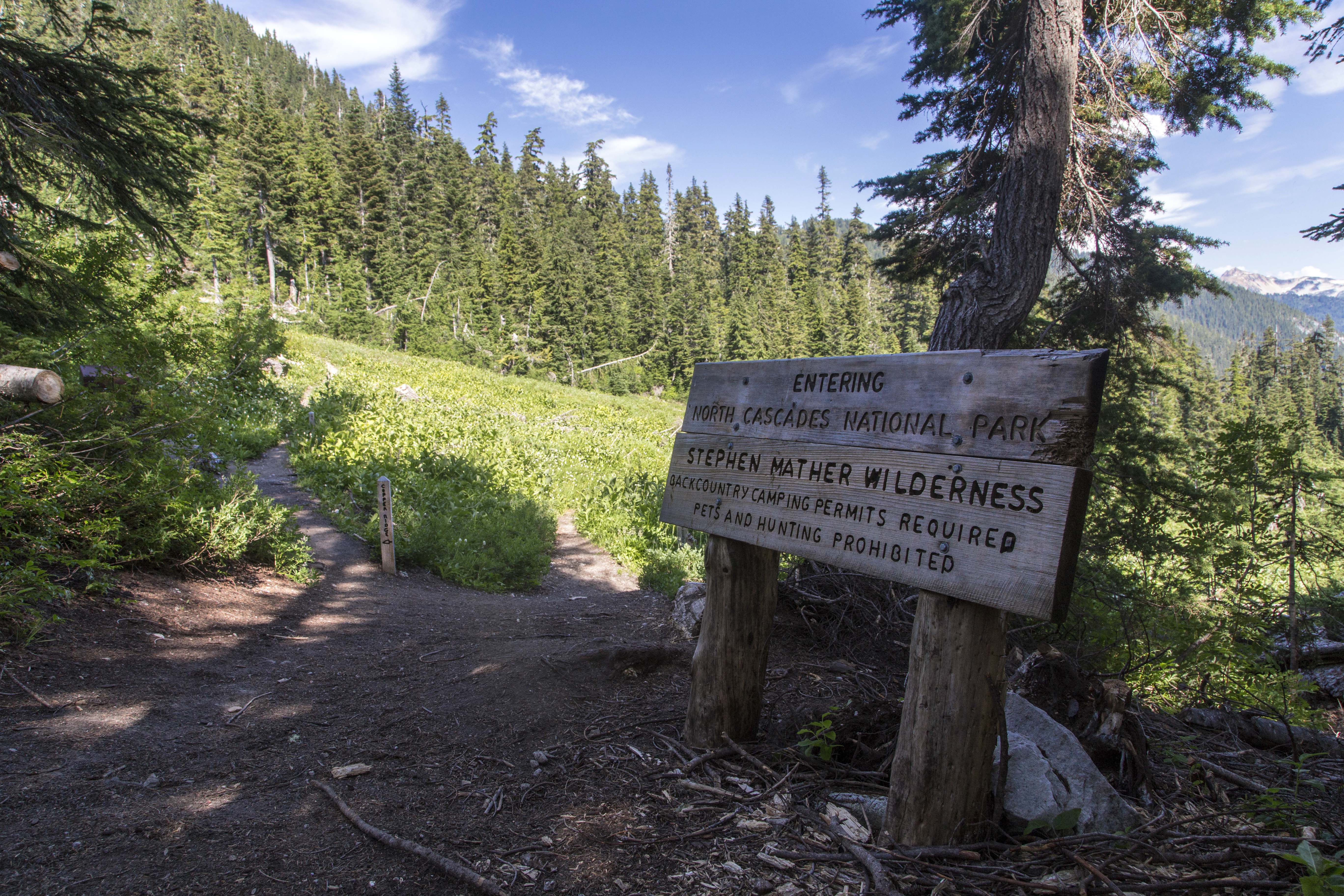
Start of the Copper Ridge trail
Recently I received a photo request from a magazine looking for images of Copper Ridge in North Cascades National Park.
When I receive a photo request for a location I’ve visited and have decent images, I go and review the folders and choose the shots that I feel best fit my idea of what the publication is looking for.
I will have a look at the original images and their edited versions, trying to decide if I may have learned any new Photoshop skills since my last editing session, and if so, I open the original raw files and start the editing process over, from the beginning, on each shot that I feel holds promise.

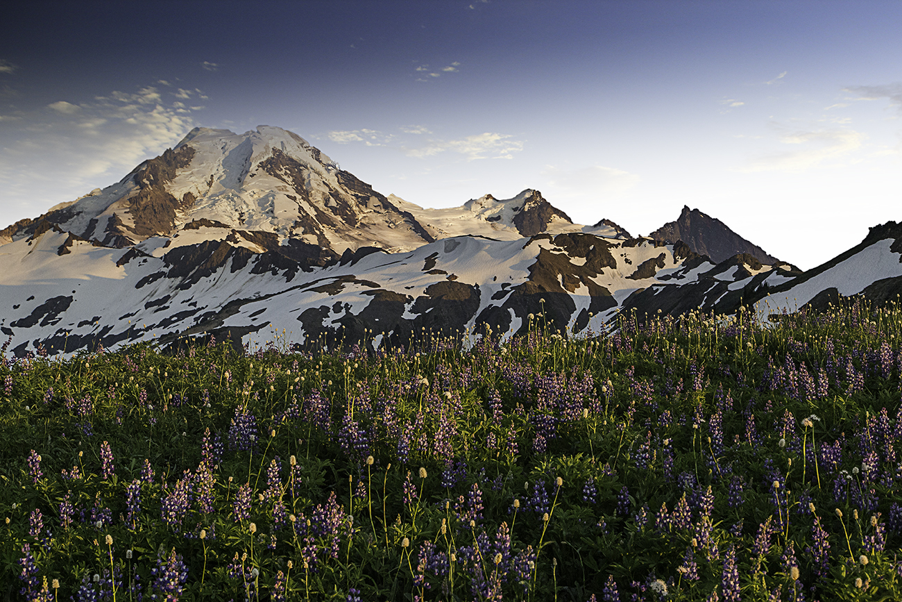
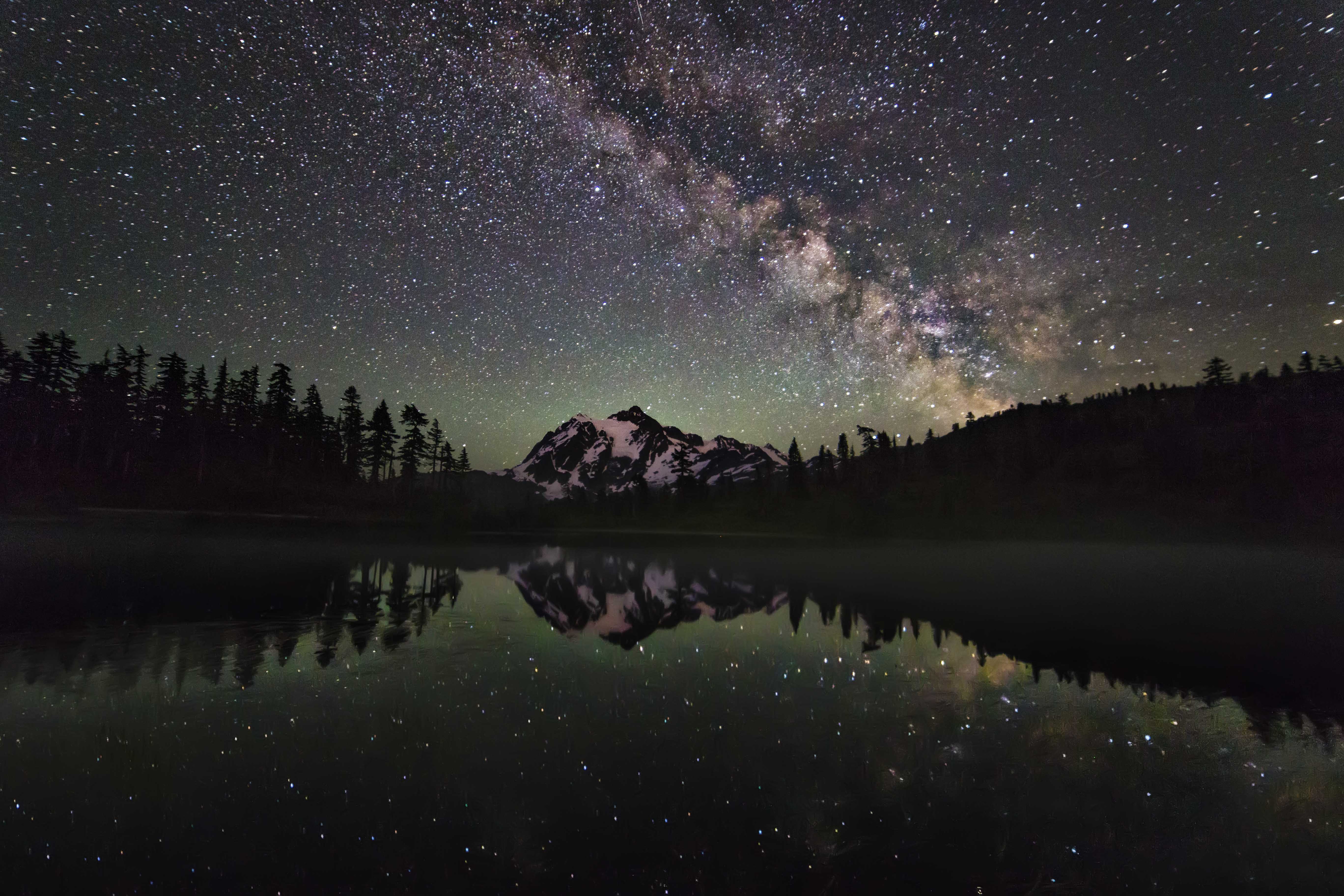
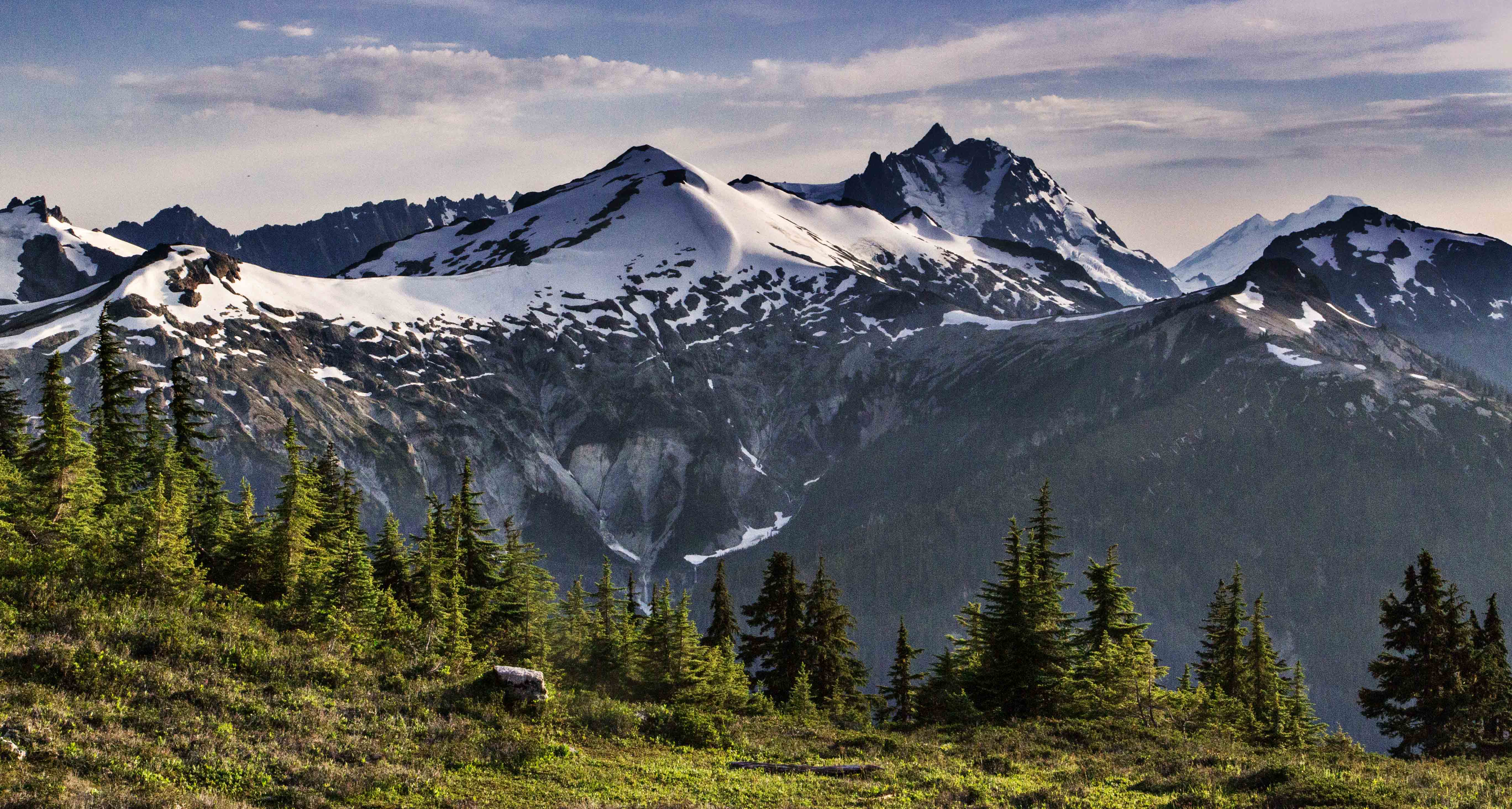
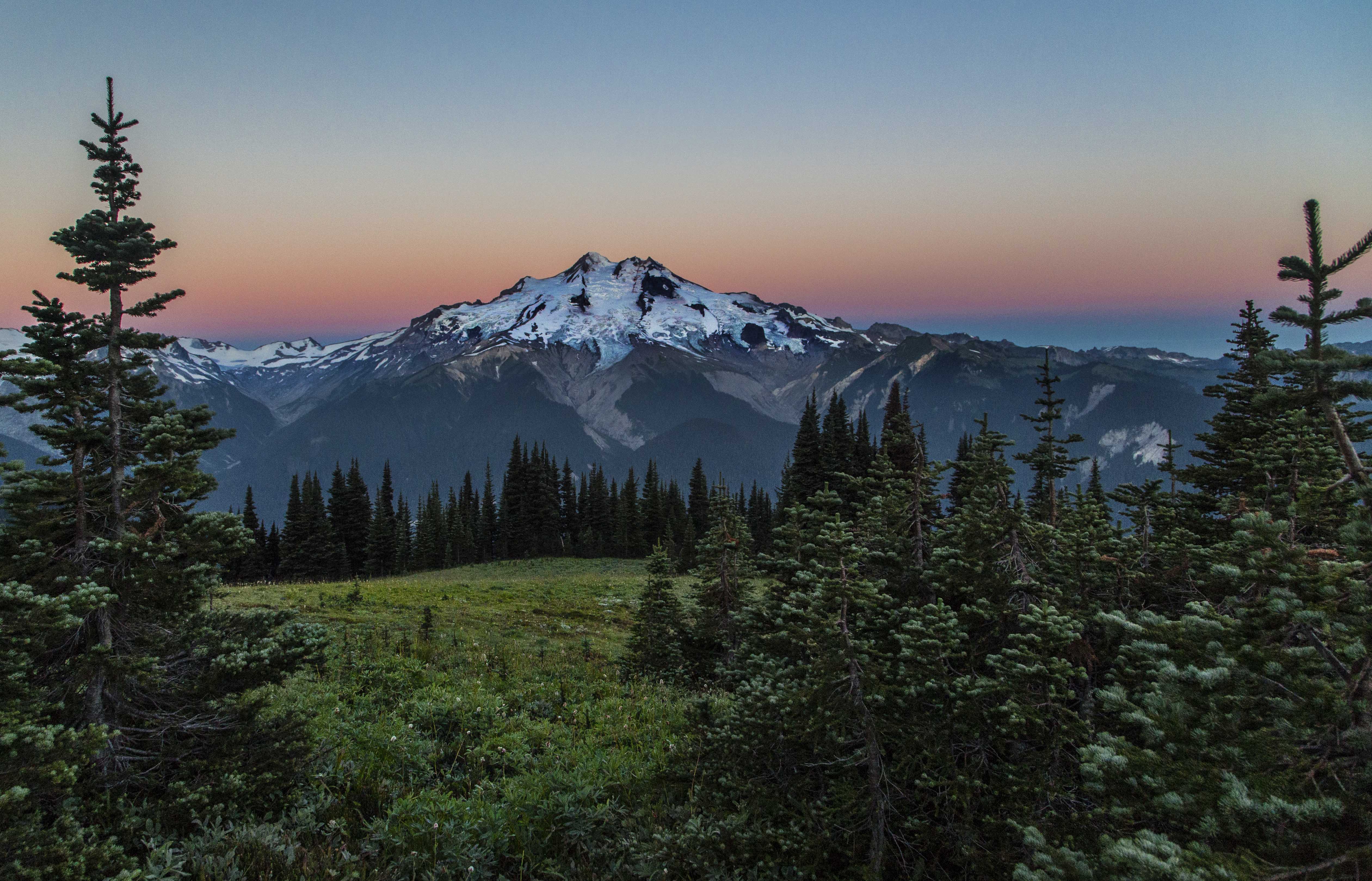
Ruth Mountain and Mount Shuksan
I have no idea whether any of the images will be chosen for publication, in fact the chances are against me, but its fun to revisit these fantastic places and relive my short visit to their majesty.
These images are all a part of that process. You can view these images, and more North Cascades Vistas in my gallery where they can be purchased as canvas prints and fine art prints.
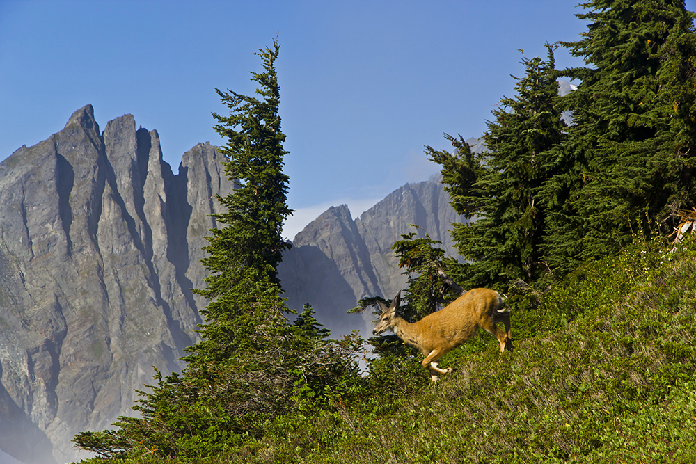
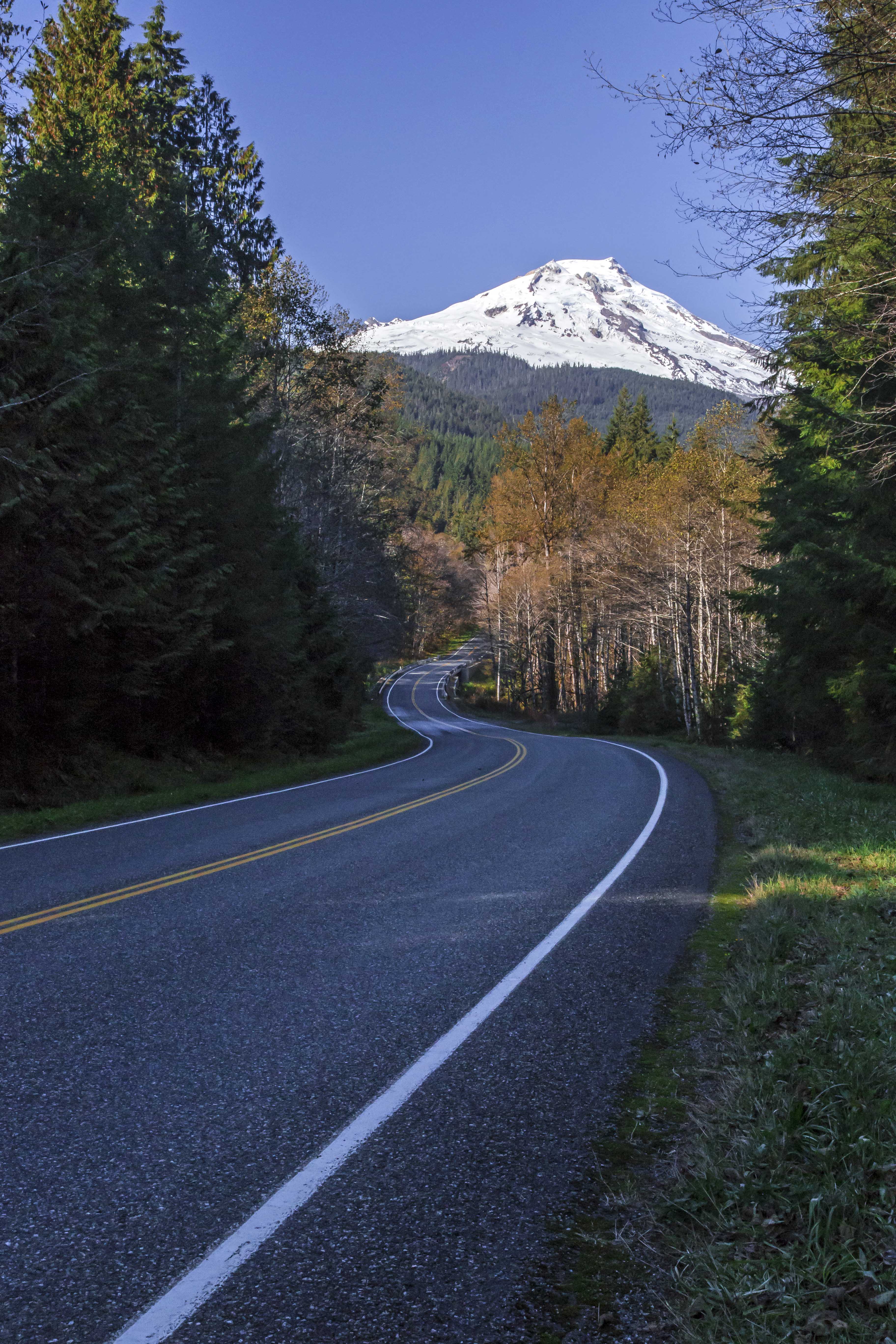
North Cascades National Park, in Washington State, is one of the most rugged and least accessible National Parks in the lower 48. Lots of rain and thick flora make the mountains a sheer hell to bushwhack through. So, most travel in the back country is along trails. The northern section of the park has few trails really, there are large sections of mountain fastness that people very rarely visit.

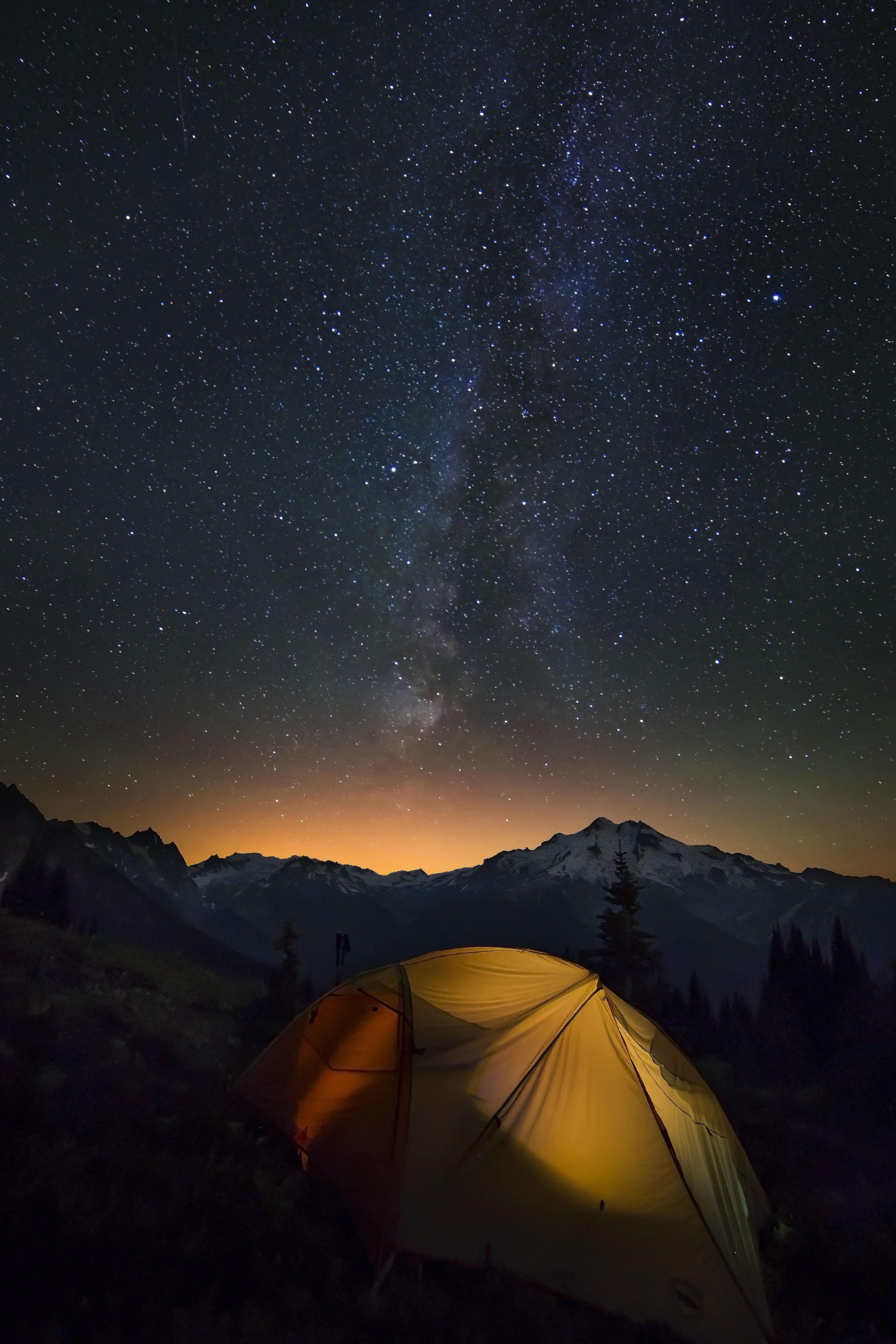
Evening light at Copper Ridge
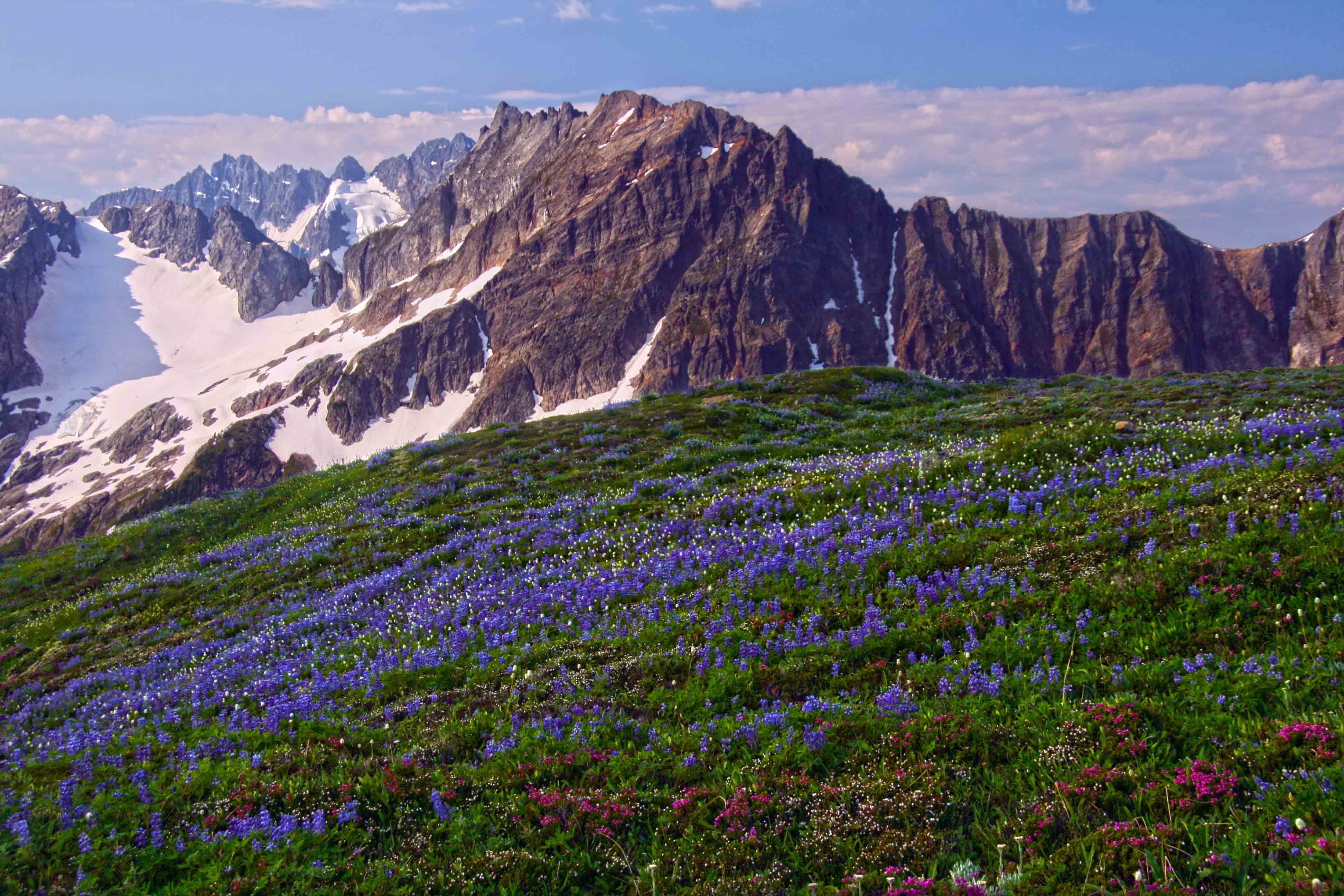
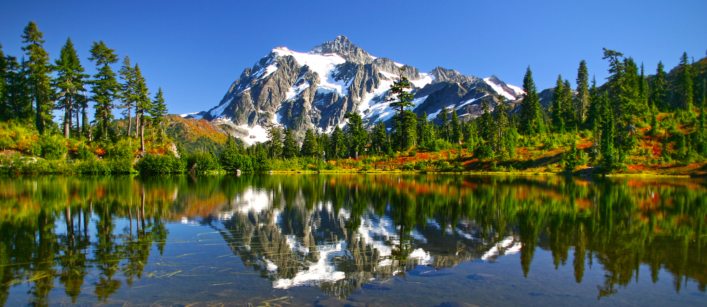
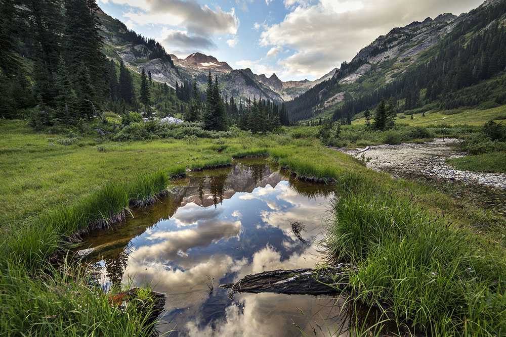
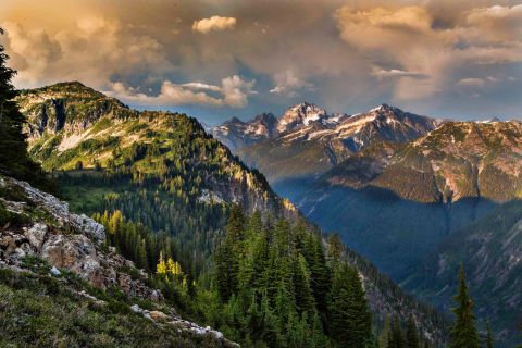
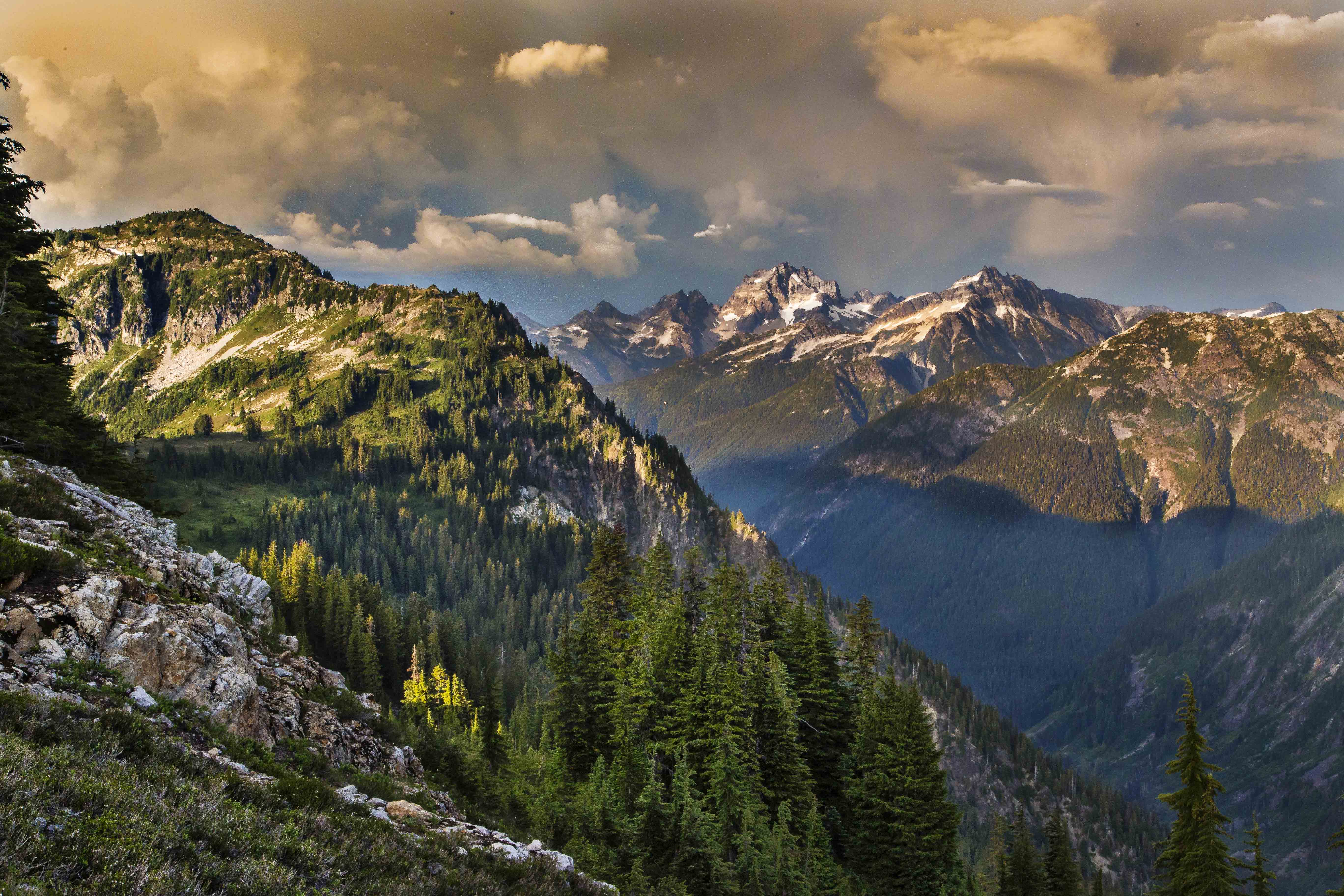
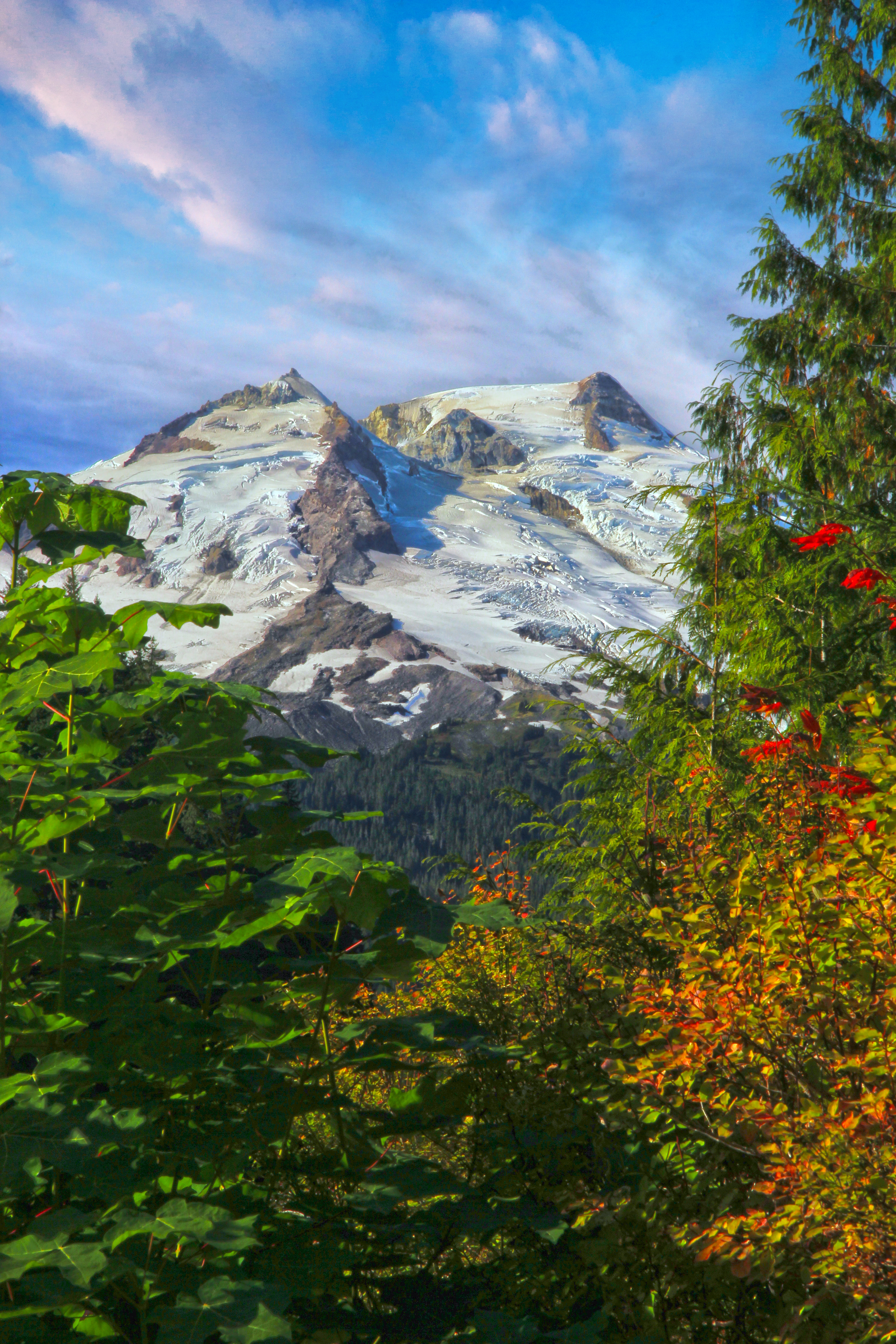
One very popular trail is along Copper Ridge. The trail starts at the Hannegan Trail head and crosses over Hannegan Pass and then heads up Copper Ridge. There is a campsite atop the ridge, Silesia Camp. Its small, only two or three tent pads. But the views are spectacular. From here you can see Mount Shuksan, and Ruth Mountain, straight across the valley and, a little to the west, Easy Ridge and Whatcom Peak in front of Mount Challenger, draped with glaciers, and just south of this massif, the needles of the fabled Picket Range jut skyward.
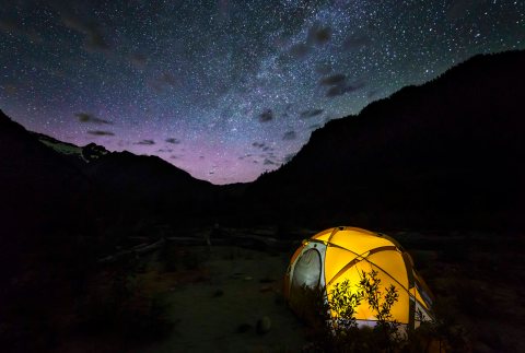
Its a cool campsite!

Silesia Camp
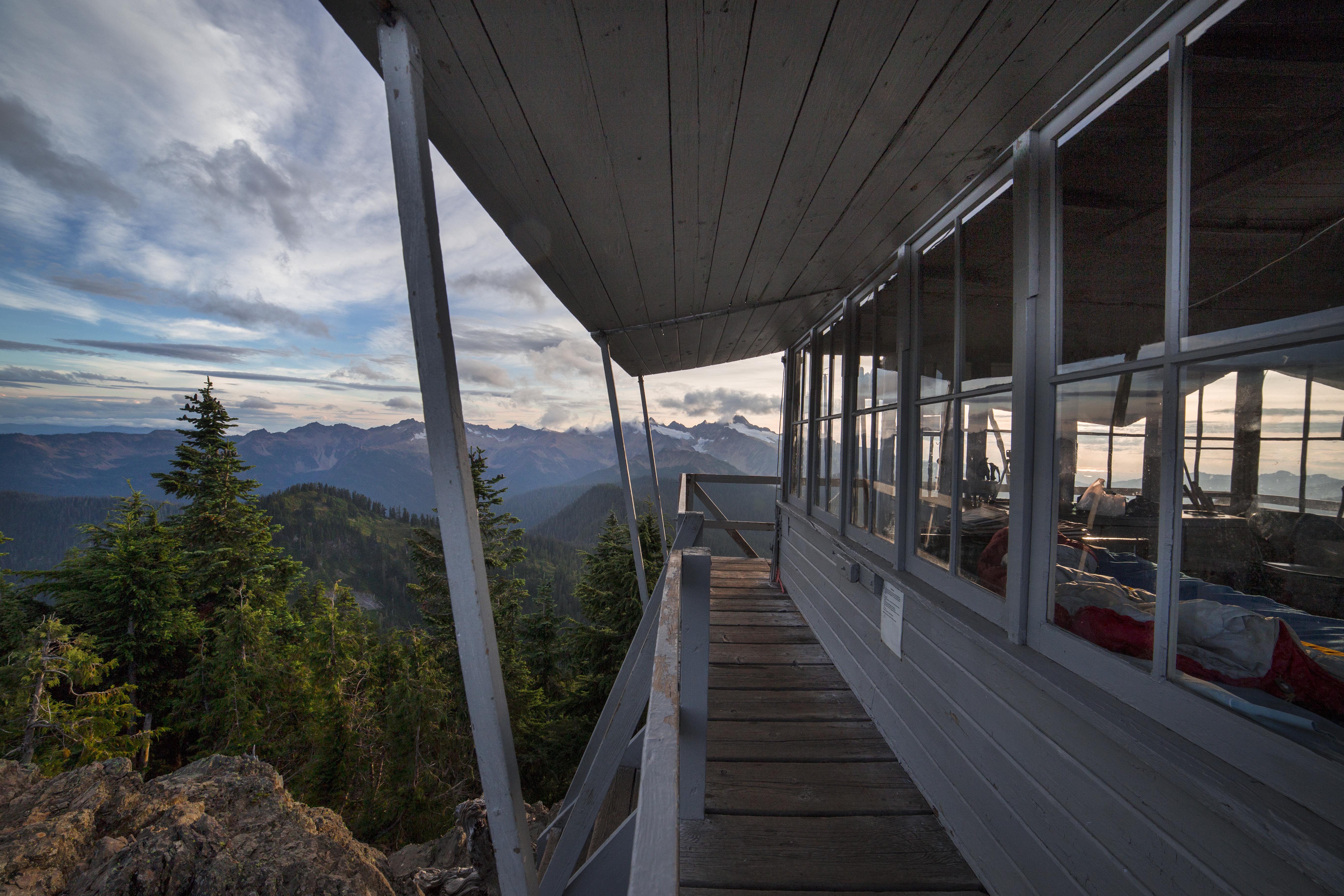
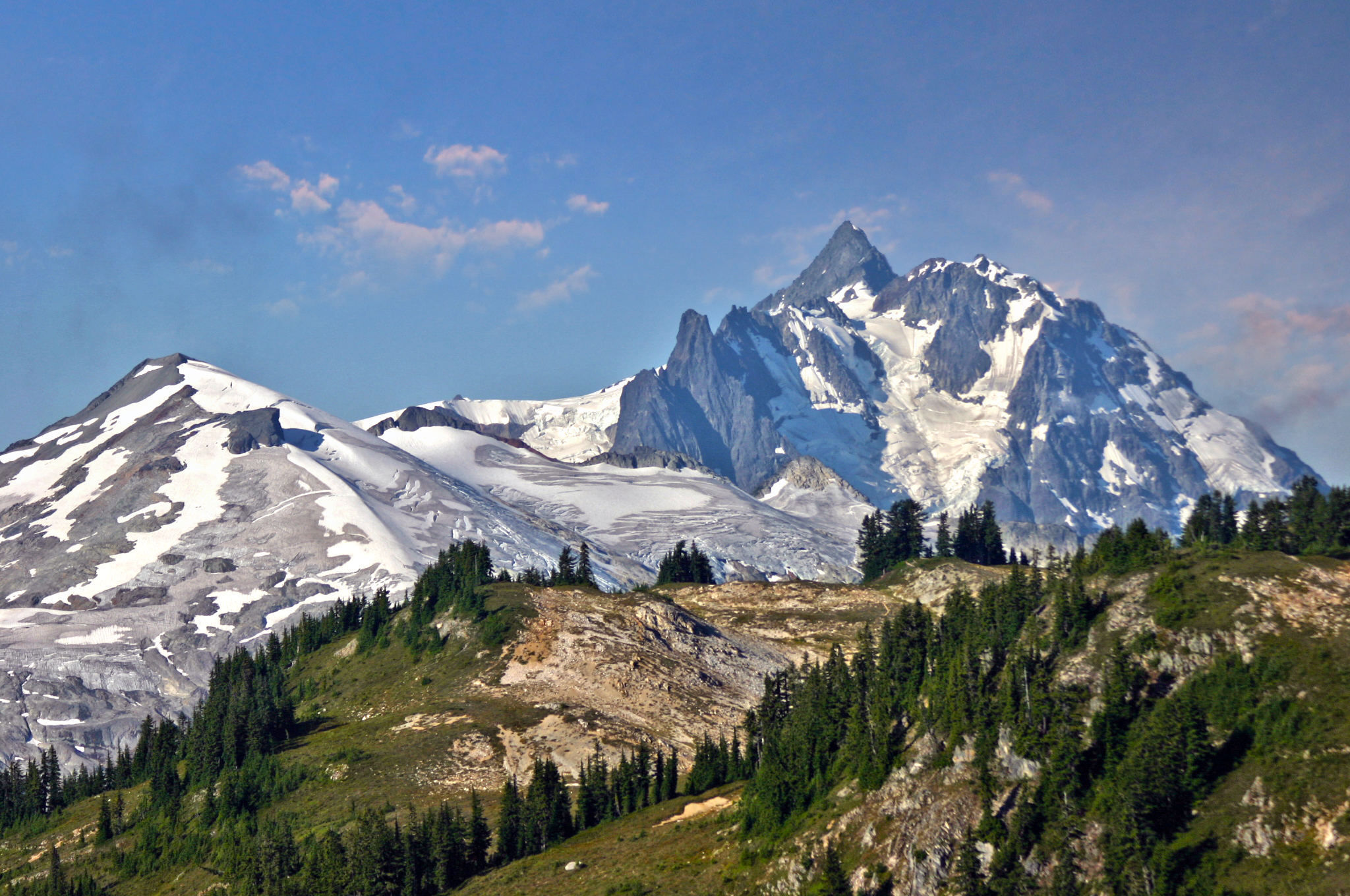
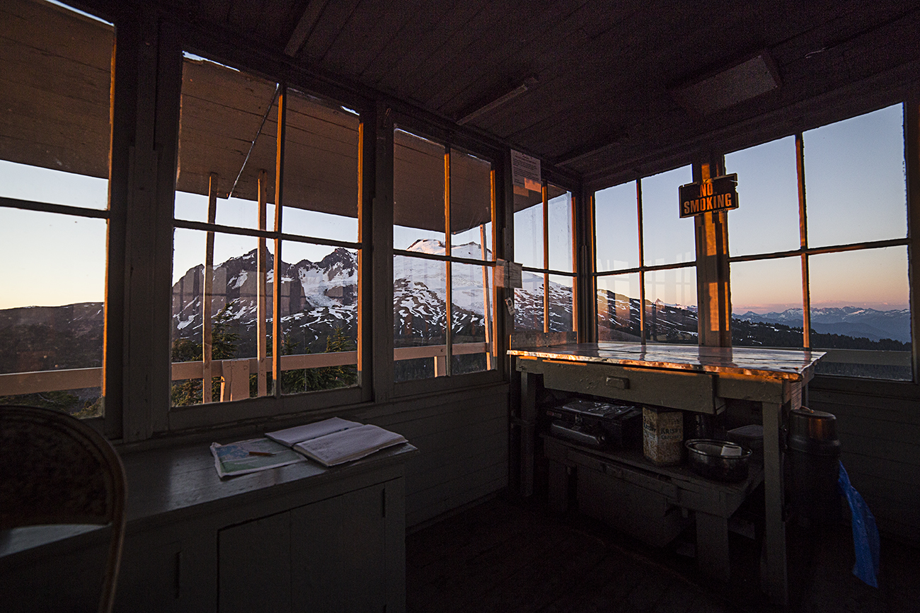
Just below the camp is small Egg Lake, with a few more tent pads. The trail heads northerly from here, to the top and the Copper Ridge Lookout. Rangers man the lookout through the summer and this is the highest point on the trail, at almost 7,000 feet.
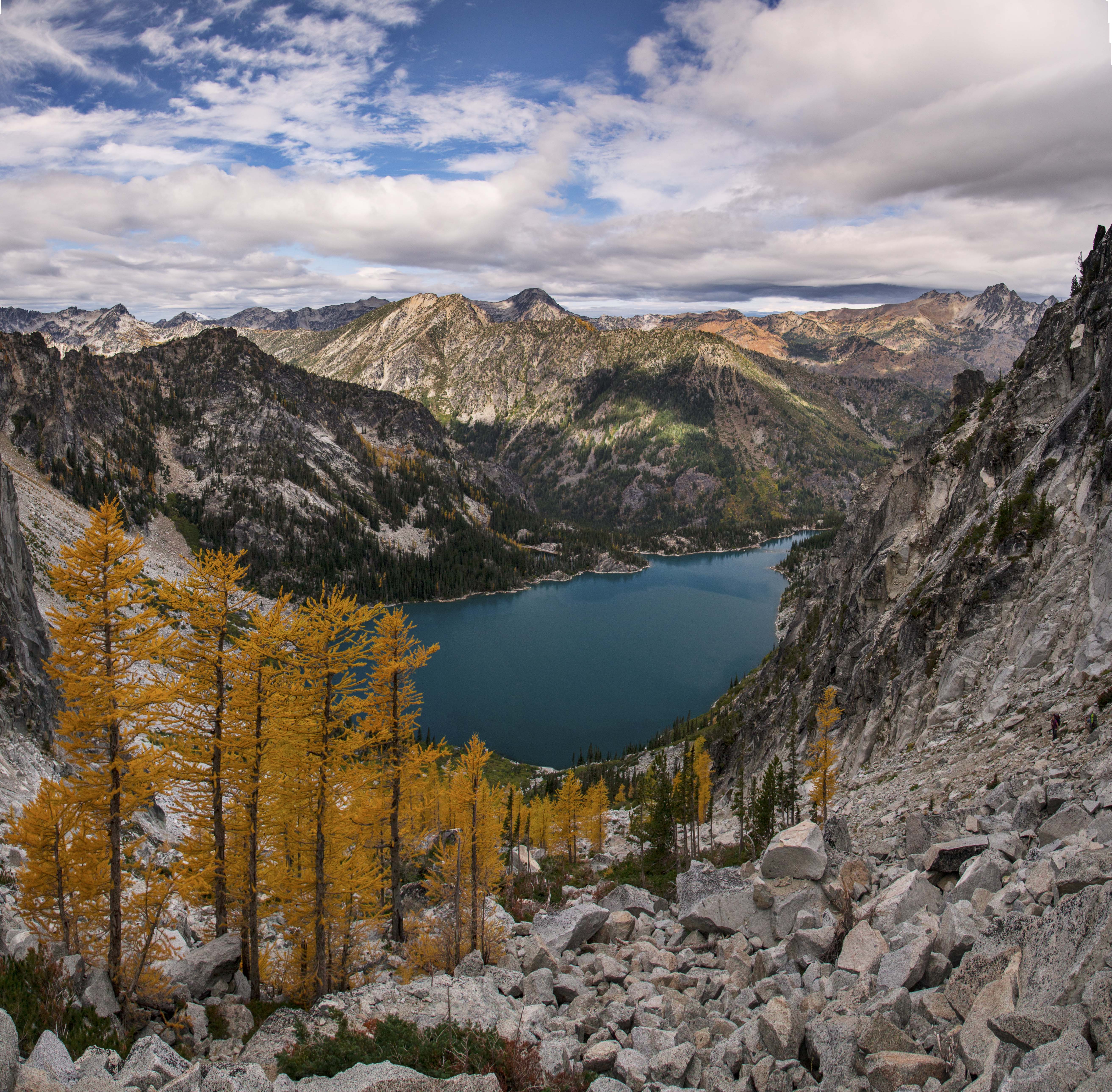
From here the path descends down to the shore of aqua blue Copper Lake. This is the next spot where you can camp, but the views are lacking. Its a great place to stop for lunch and a swim!
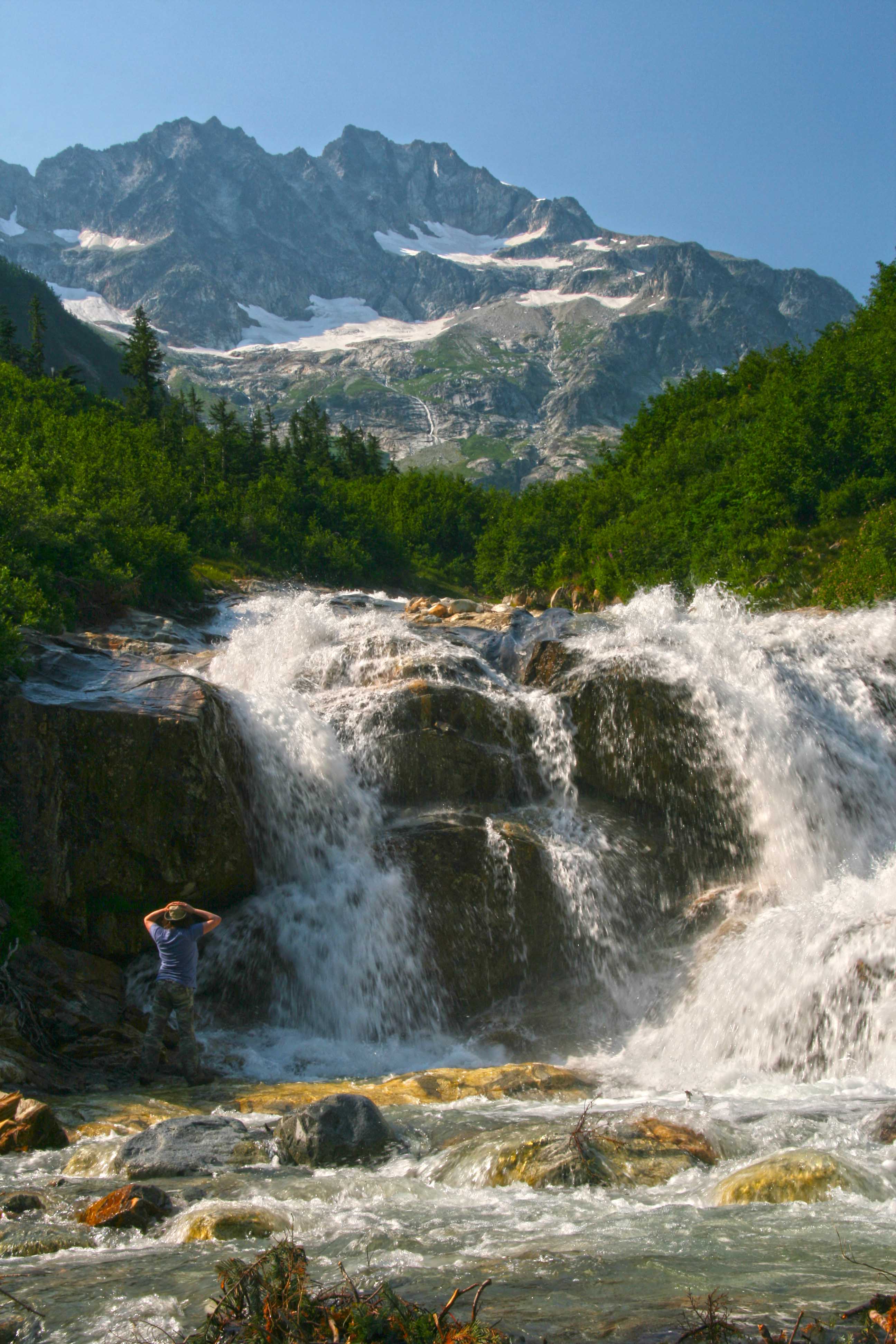
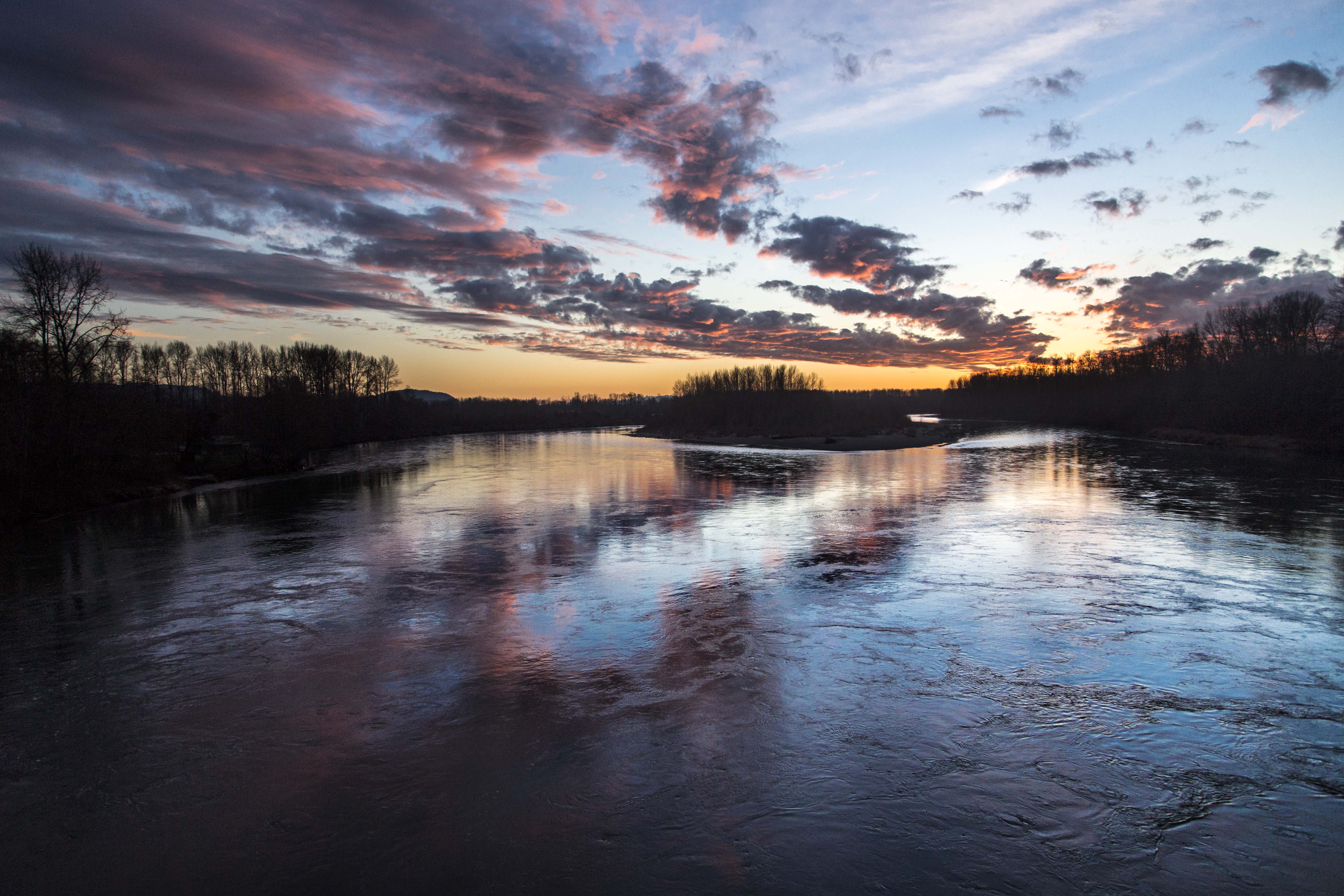
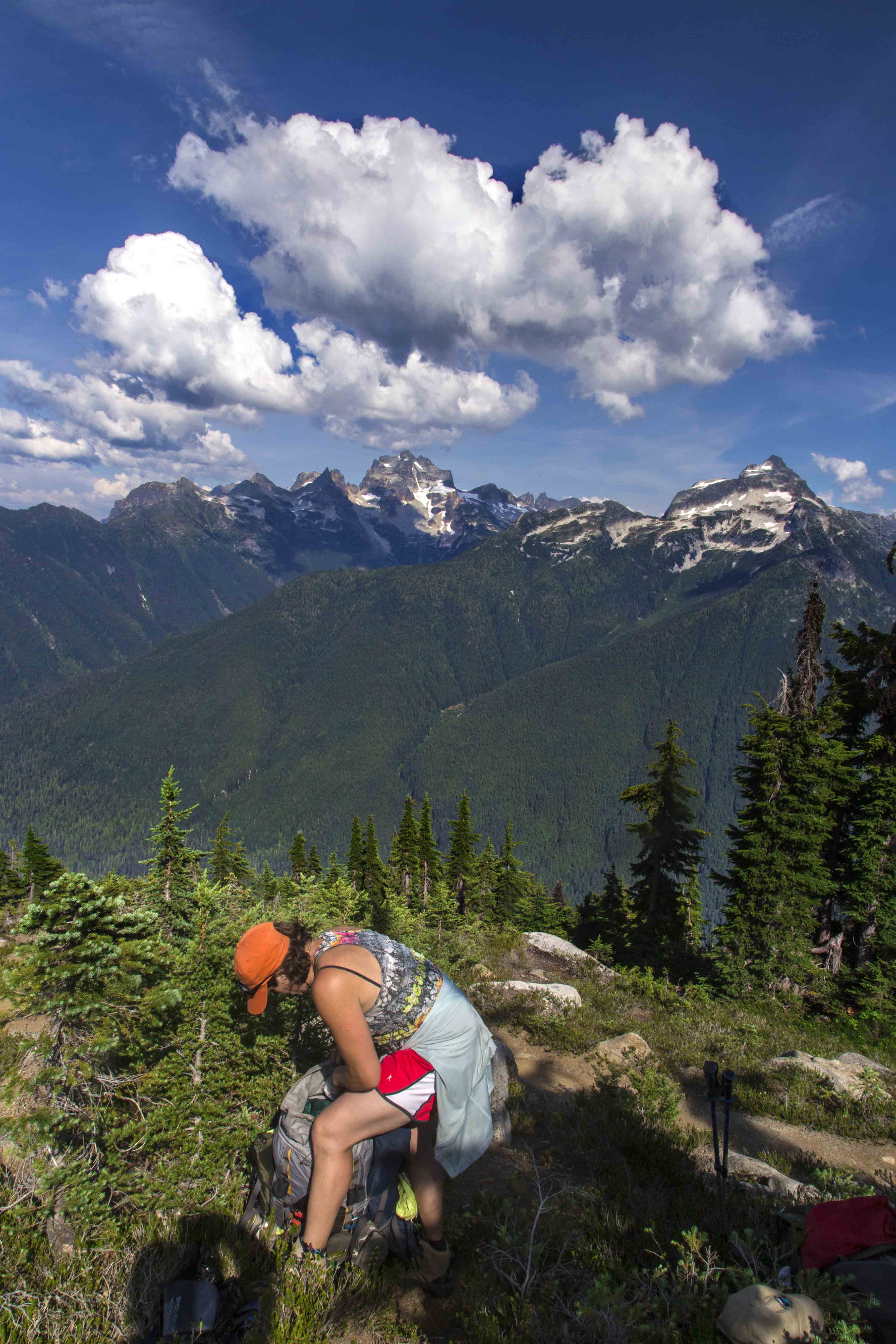
The ridge hike follows the contours through forests and meadows, now and again popping out into the open for more jaw dropping vistas until, finally reaching its end, you plunge steeply down more than 4,500 feet to a ford of the Chilliwack River.
If you make the trip in early August you may be lucky enough to find yourself fording the river full of spawning salmon!

Whatcom Peak and Easy Ridge from Copper Ridge

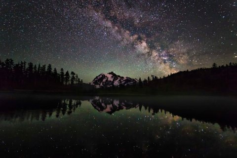
Mount Shuksan from Copper Ridge Lookout

Sunset at Copper Ridge

Hiking along Copper Ridge

Silesia Camp Sunset

Copper Ridge Trail

Capturing sunset

Copper Ridge Panorama

Copper Ridge Lookout

Copper Lake
These last two images are from the end of the Copper Ridge trail, at the Chilliwack River and its confluence with Indian Creek. Here is where yo may have a salmon encounter!

Indian Creek

Indian Creek Salmon