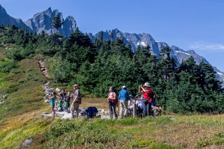
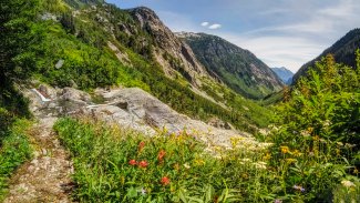
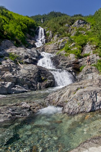
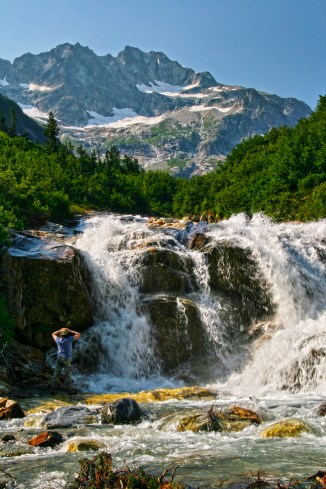
Sauk River

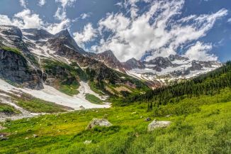
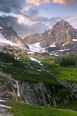
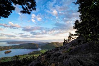
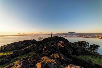
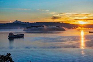
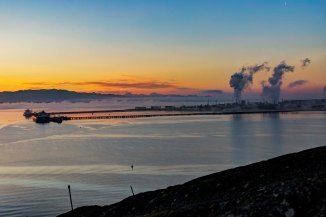
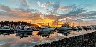
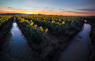
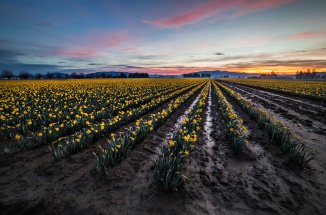
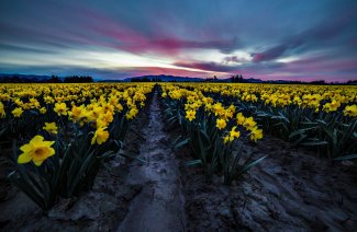
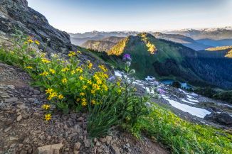
I spend a fair amount of time driving in search of vistas. A recent trip took me on a new route along the Concrete Sauk Valley Road.

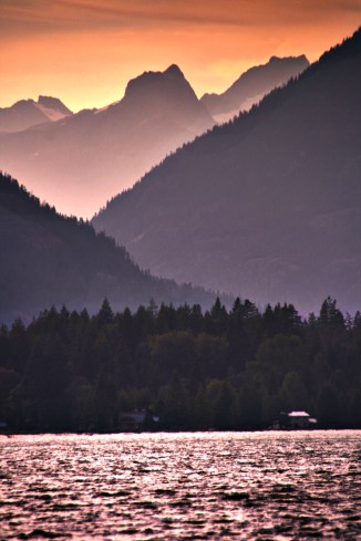
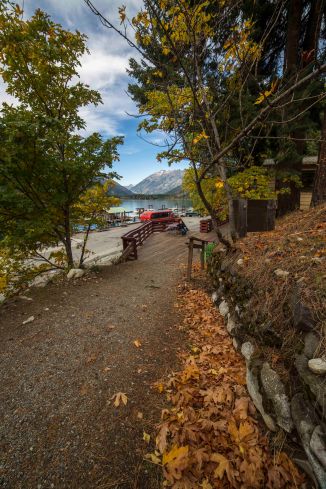
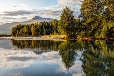
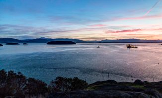
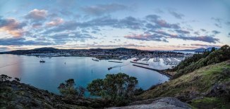
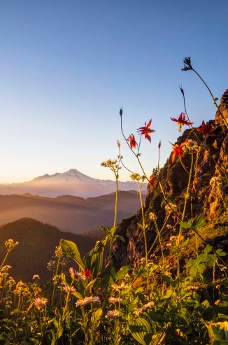
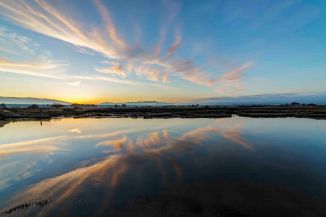
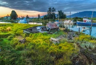
The Sauk River drains a large area north west of Glacier Peak, in the North Cascades. These images are just above the confluence of the Sauk and Skagit Rivers.

The week had been rainy and gray, but there was one short window of light and somehow I managed to arrive in time for the sunset light show.

The wide open spaces on the gravel bars are calling me to come back!

Night Sky Images of Washington State

I have been capturing night sky images of Washington State for about 4 years now. These 14 images display my moments of good luck so far.

Capturing nice Milky Way shots is not difficult, technically. A decent camera, wide angle lens, tripod and remote are all that’s needed. The aperture, shutter speed, ISO and focus are all set. You can read more about the settings here.

The tricky part is getting yourself and camera to a spot far away from light pollution, on a night when there is
a.) No moon in the sky and
b.) No clouds covering up the stars!

Once you get that all figured out, then its a matter of practice, trail and error (lots of errors), and really just getting yourself out there.

The settings for these types of images were the same:

  • Milky Way shots: Aperture: f2/8 ; Shutter Speed: 30 seconds ; ISO 2,500 to 6,400
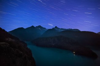
  • Star Trail Shots: Aperture: f2/8 ; Shutter Speed: 20 minutes ; ISO 100

Here are the details on each image.

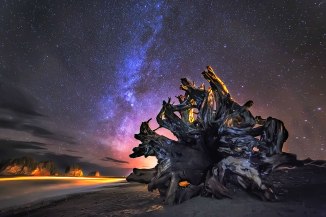
First Beach, Olympic Coast This is First Beach, in La Push, down the road from Forks. I used this huge stump to block the light pollution from the small village. This was taken in January, and the Milky Way is faint.

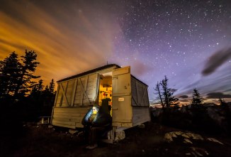
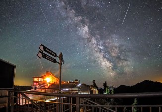
Winchester Lookout at Dawn Late September, the Lookout had been battened down for the fall… Early sunrise created a split sky of colors, while my friends meditated with their I phone. They would have the phone “on” for just 2 or 3 seconds during my 30 exposure. The light in the lookout is from a very dim stand-up flashlight I put on the floor of the building

Crystal Mountain Ski Resort The plan was to wander off from the resort and camp and takes pics. This was shot at about 2am, in late July. There are several satellites in this image. When using a wide angle lens you have to be very close to any foreground objects, or they will be very tiny in your image.

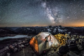
Sahale Camp, North Cascades National Park This is the highest camp site in the North Cascades National Park, at more than 7,500 ft. The view is facing south. 30 second exposure, my friends in the tent had the light on for 1 -2 seconds. Any longer and the tent would be over exposed.

Night Sky Images of Washington State 2020 Calendar

This year I started the Calendar early! We printed on 8″ x 12″ sheets of 100lb bond, glossy paper.

They really look fabulous! Each individually wrapped.

The calendar is now back from the printer and ready to ship anywhere in the world!

Order Yours Here

Palouse Falls is a wonderful spot for Night Sky Imaging, its very remote and scenic. Someone started a campfire in the basin that night, and that’s where the wonderful illumination comes from in this shot.

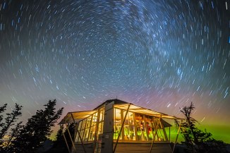
Mount Larrabee, North Cascades This is a 20 minute exposure. The green glow along the horizon is the Aurora Borealis! This image was captured from atop Winchester Mountain.

Nighttime at Diablo Overlook Here is a south facing view of Colonial Peak, from Diablo Overlook. The star trails are streaks across the frame. If you shoot pointing north the star trails form a circle.

Milky Way over the North Cascades Highway at the Washington Pass Overlook. This image was taken on June 2nd, at about 1am. As the Earth rotates the Milky Way arcs across the sky. The tail lights from a car headed east, to Winthrop, provide the lighting for this pic.

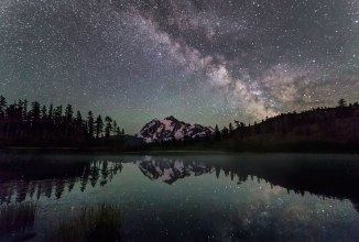
Mount Shuksan and Picture Lake This famous view of Mt Shuksan affords some nice reflective opportunities! Its easy to get to, and from there you can head up to Artist Point for more images of Mts. Shuksan and Baker.

Buying Prints

Prints are available for all images. Traditional paper prints of all sizes are possible. These come ready for matting and framing. Canvas Wrapped Prints of any styles and sizes are also available directly from the web site. Here is the link to the Night Sky Gallery. Feel free to call me if you have any questions. 360-809-0661.

Also, if you use the code: NIGHTSKY50 you will receive 50% off your order!

Govan School House. Located near Wilbur on Hwy 2, this remote abandoned building was perfect for night sky. We illuminated the inside with a Coleman Lantern and a few other orange/yellow lights. I would love to find some more old building or barns to do this again!

Park Butte Lookout and Mt Baker. I brought a very dim flash light and hung it from the ceiling, I could barely see it from out side, and it provided plenty of light for me. It looks like the stars emanate from the crater on Mt Baker!

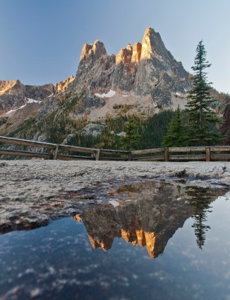
Liberty Bell, North Cascades Highway. The Washington Pass Overlook is one of the best spots there is to capture night sky pics. Its VERY dark, the foreground is outstanding (Liberty Bell and the hairpin turn in the North Cascades Hwy) and its easy to park and get there in the dark.

Camped along Baker River, North Cascades. I would start the 30 second exposure and yell to them: Turn it on! and then after 1 second, Turn it off! that was plenty of light on their faces and the tent. The gravel bars along Baker River are an easy distance and very dark spots for night sky.

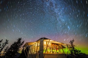
Winchester Lookout and the Northern Lights. For long exposures, if you point towards the North Star, all of the other stars will make concentric circles. The green and reddish glow is the Aurora Borealis.

Night Sky Photo Classes and Photo Tours

Currently I am scheduled to teach one more Night Sky Photo Class this year, through the North Cascades Institute. It is scheduled for Wednesday night, July 31, and you can find out more here, and register.

Night Sky Photo Tours are also available each month at the New Moon. I take individuals and groups to Drive-in locations, like the Washington Pass Overlook, or Artist Point. For those adventurous photographers who can carry a 30 lb backpack up hill for a while, there are back country locations we can visit, like the Park Butte or Winchester Mountain Lookouts. You can find out more here, and feel free to email or call if you have any questions.

North Cascades Photography – Mount Erie

North Cascades Photography – Mount Erie

Mount Logan, North Cascades National Park

Skagit County extends about 100 miles from the crest of the North Cascades range, west to Anacortes and Cypress Island.

Mt Erie is located in Anacortes. The summit rises more than 1,200 feet above the sea and is visible clear across the valley.

Cascade Loop Mt Erie is on the Cascade Loop Scenic Highway. In fact this years Cascade Loop Magazine sports an image taken from Mount Erie! 

The mountain is a city park, part of the Anacortes Community Forest Lands. A paved road takes you to the top.

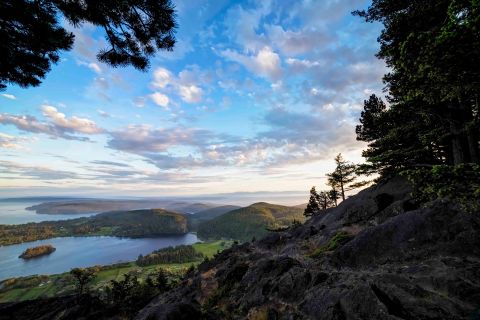
The view south encompasses Campbell Lake and the Puget Sound.

Mt Baker at sunrise, from Cypress Island

The park is multi-purpose, there is a network of hiking trails, picnic tables, paved walk ways and many spectacular vistas.

The rocky bald face of the mountain attracts rock climbers from all over. The south facing slopes are accessible year round, more info on climbing here.

I have visited several times for sunrise and sunset.

There is a very short sidewalk to a stone bench. The view south, over Lake Campbell really cant be beat!

Here is a series of sunrise images from several visits.

These are sunset shots, all from the last few months.

Night Sky Photo Tours are scheduled on the New Moon. Find out more here.

North Cascades Photography – Hike to Stehekin

North Cascades Photography – Hike to Stehekin

Along Cascade River Road

The hike from the Skagit Valley up and over Cascade Pass and down along the river to the remote village of Stehekin, on the northern shore of Lake Chelan is a magnificent journey. Sort of like crossing the Misty Mountains to get to Rivendell, there is a lot to see!

It is a 23 mile (37 km) hike from the Cascade Pass parking lot to High Bridge, where shuttle service is available to Stehekin. The entire trip falls with in the North Cascades National Park. Depending upon your level of motivation the basic trip can be done in 2 or 3 days.

However I would recommend 3 or 4 days for the trip. There are several detours along the way that are really to incredible to miss.

The journey starts along the Cascade Loop Highway in Marblemount. The North Cascades National Park Wilderness Information Center is located there. To camp anywhere in the park you need a permit. Here is all you need to know to obtain one! I highly recommend the trail guide: “Hiking the North Cascades” by Erik Molvar (Falcon Press). There are accurate and detailed descriptions of the trails and you’ll find a lot of useful info.

Once that’s all done you’ll be heading up the Cascade River Road to its end, at the parking lot for Cascade Pass. The road gets a bit sketchy at the end, and you wont be able to stop gawking at the views!

The trip has one up section, and this is it: 3.7 miles of switch backs to Cascade Pass, an elevation gain of 1,700 feet. The views start near the top, there is one last switchback and then the trail turns east and approaches the pass.

The Pass is a great place for a break, and you’ll see a lot of people there. From this spot, its all down hill to Stehekin!

Dropping from Cascade Pass the trail navigates around the upper basin and soon passes the Pelton Basin campground. It’s not long before the switchbacks start. Whereas the trail up to the pass from the Skagit side is completely in forest, here the trail is exposed to the hot sun.

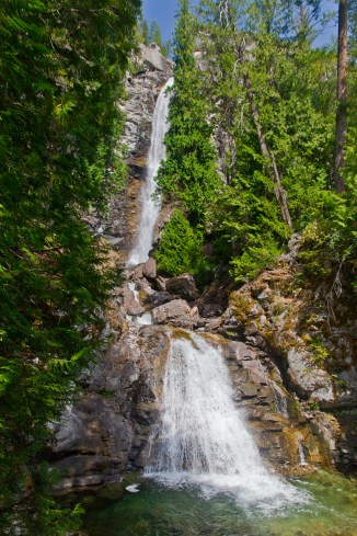
One nice surprise is the waterfall along Doubtful Creek as it bisects the trail on the east side of Cascade Pass, where there are small pools providing a much needed break and swim.

Many people who make the sojourn from Cascade Pass to Lake Chelan make a straight trip from the Cascade Pass parking area to Stehekin, with no side trips. But there is one of the most awesome valleys in all the North Cascades (Horseshoe Basin) that you should not pass up as you make your journey.

A short distance from Doubtful Creek is the trail to Horseshoe Basin. You can drop your big packs and day hike up to the Basin, or, if you scored a camp site at Basin Creek Camp, you can stay an extra day exploring Horseshoe Basin and the Black Warrior Mine.

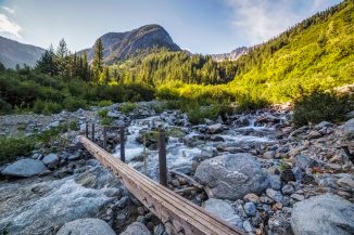
The trail follows the stream up from the trail junction into Horseshoe Basin; it follows a course along the stream, across the stream and in the stream, brushy and wet. Shortly the trail emerges into a clearing where boulders dot the basin floor. Climbing up on the largest, the view is transfixing. The green bowl is surrounded with grandeur, full of color and drama.
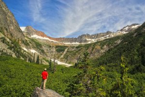
Horseshoe Basin, North Cascades National Park

The Horseshoe Basin trail is less than 2 easy miles from the trail junction to the head of the valley and the Mine. black warrior mine

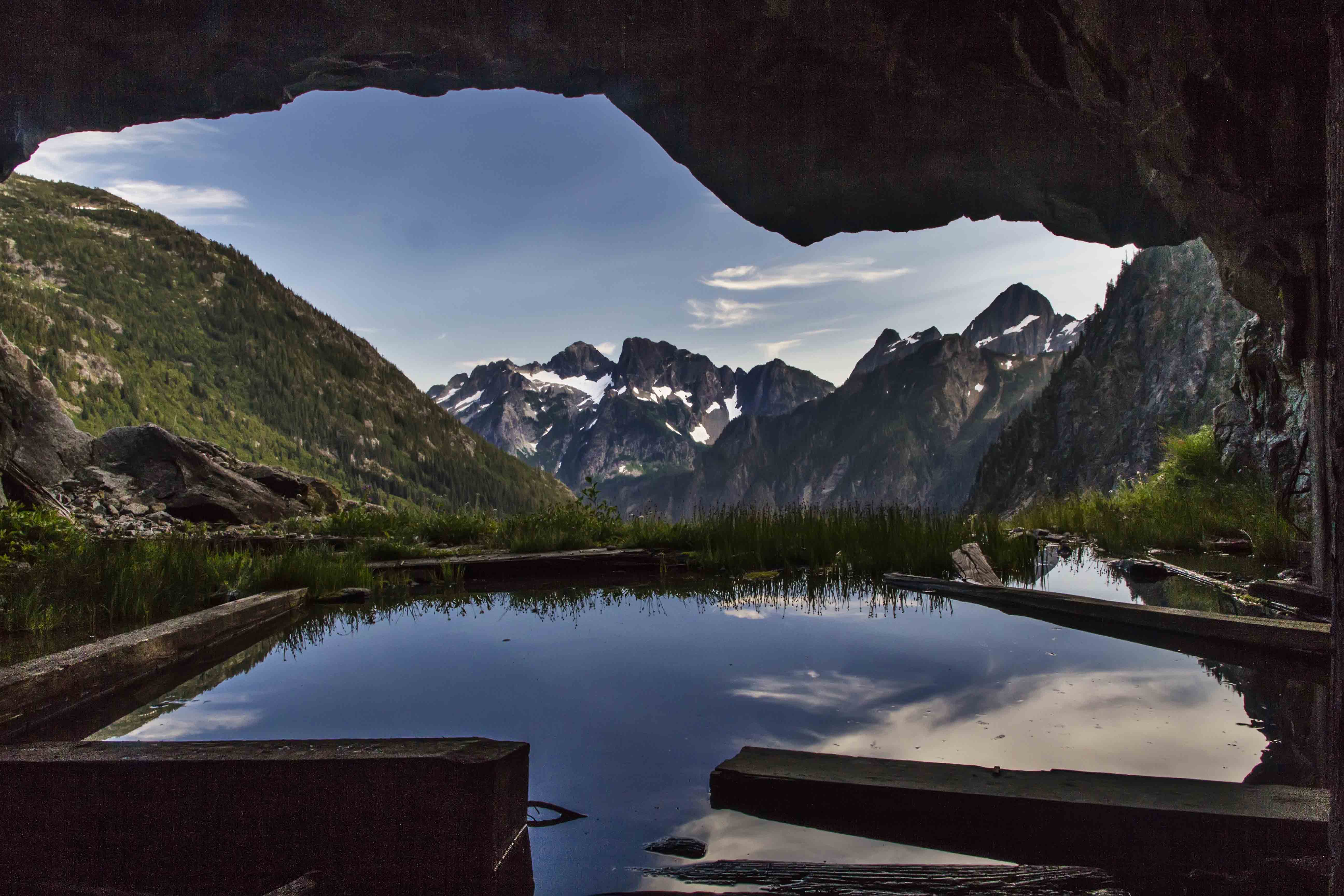
The North Cascades are full of old mining claims; piles of colorful tailings and rusted remains of sluices and Pelton wheels littered about. But I had never visited a mine that I could enter and explore. The Black Warrior Mine operated until the mid-1950′s and is a National Historic Place. There is a sign at the entrance giving a brief history of the mine, the names of the prospectors and misled investors who poured their mostly futile efforts into this hole. There are two main cavernous rooms blasted into the mountain side which make the opening of the mine. One of these “rooms” served as a kitchen while the other was used for workbenches and tools. Wooden supports and floor boards are flooded with water. Old tables and remains of habitation litter the floor. The shaft of the mine runs deep; several miles of tunnel remain, open for any brave person to explore.

When you tire of the basin and continue on your way down the Stehekin Valley you’ll pass several camp sites: Cottonwood Camp was once the last stop on the bus route from Stehekin! Traveling is pretty easy, for the most part you are following along the road following the bus route to Stehekin. But the road has been washed away in several places, replaced by a foot trail.

At Park Creek is another camp and the trail (Park Creek Trail) heads up to Park Creek Pass and continues over and down to Colonial Creek camp, on Highway 20.

Bridge Creek is another large camp along your route and is where you meet the Pacific Crest Trail. From here its 5 miles to High Bridge. Many years ago the entire road washed away in a flood. So for the next 5 miles you’ll be hiking along the PCT!

IF you have the time and energy, plan another day here and make a day trip up the North Fork of Bridge Creek. Its too long to describe here and will be the subject of an entire post soon!
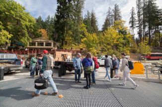
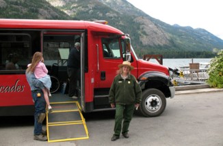
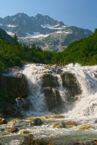
Walking along the Stehekin River Road is in itself fantastic. The river cuts a deep cleft through the cliffs at High Bridge and the confluence with Bridge Creek creates a wondrous series of cataracts and islands. From High Bridge there is a regular bus that takes you the last 10 miles to Stehekin. Check the Park Service site for the bus schedule.
Your hike must include a visit to the Stehekin Pastry Company. Delicious, fresh treats, ice cream, espresso, friendly staff and a comfortable place to relax…

Everything about Stehekin is awesome. Its remoteness (you can only reach it by hiking, ferry boat or float plane), the people are cool, scads of awesome things to see and do…even the Post Office is a neat place to just visit!

Beside the Pastry Company there is a restaurant, a lodge, and a post office. Thru hikers on the PCT mail resupply items to them selves at Stehekin. Its the last stop on the route to Canada. Late in the summer you will often run into some of the PCT hikers as they finish the last few days of their 2,400 mile trek!

When you’re done restin’ and ready to go home you can either walk back the way you came, or catch the Lady of the Lake to Chelan!

Here are a few more images from the trail…


Dahlia Farm

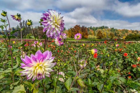
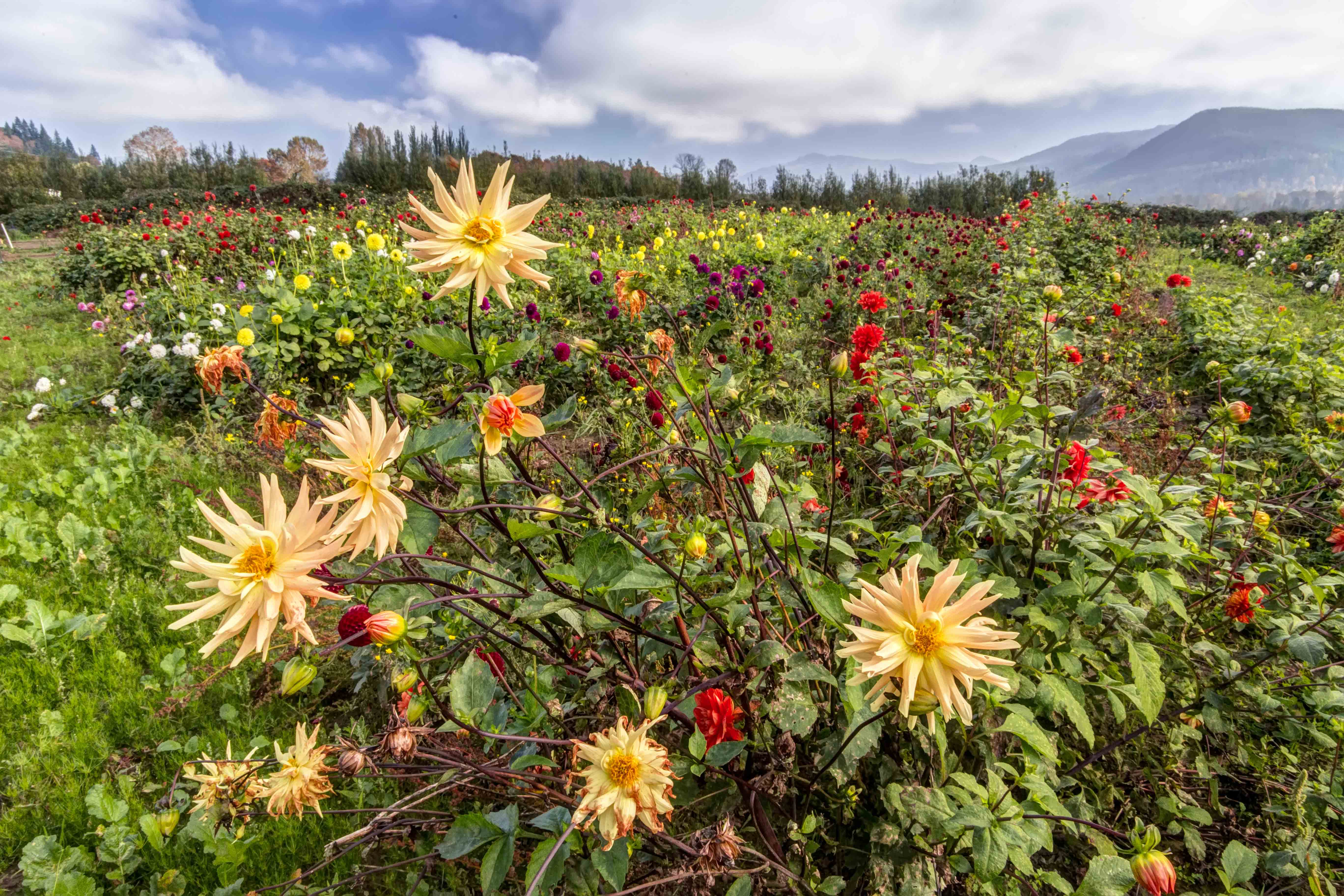
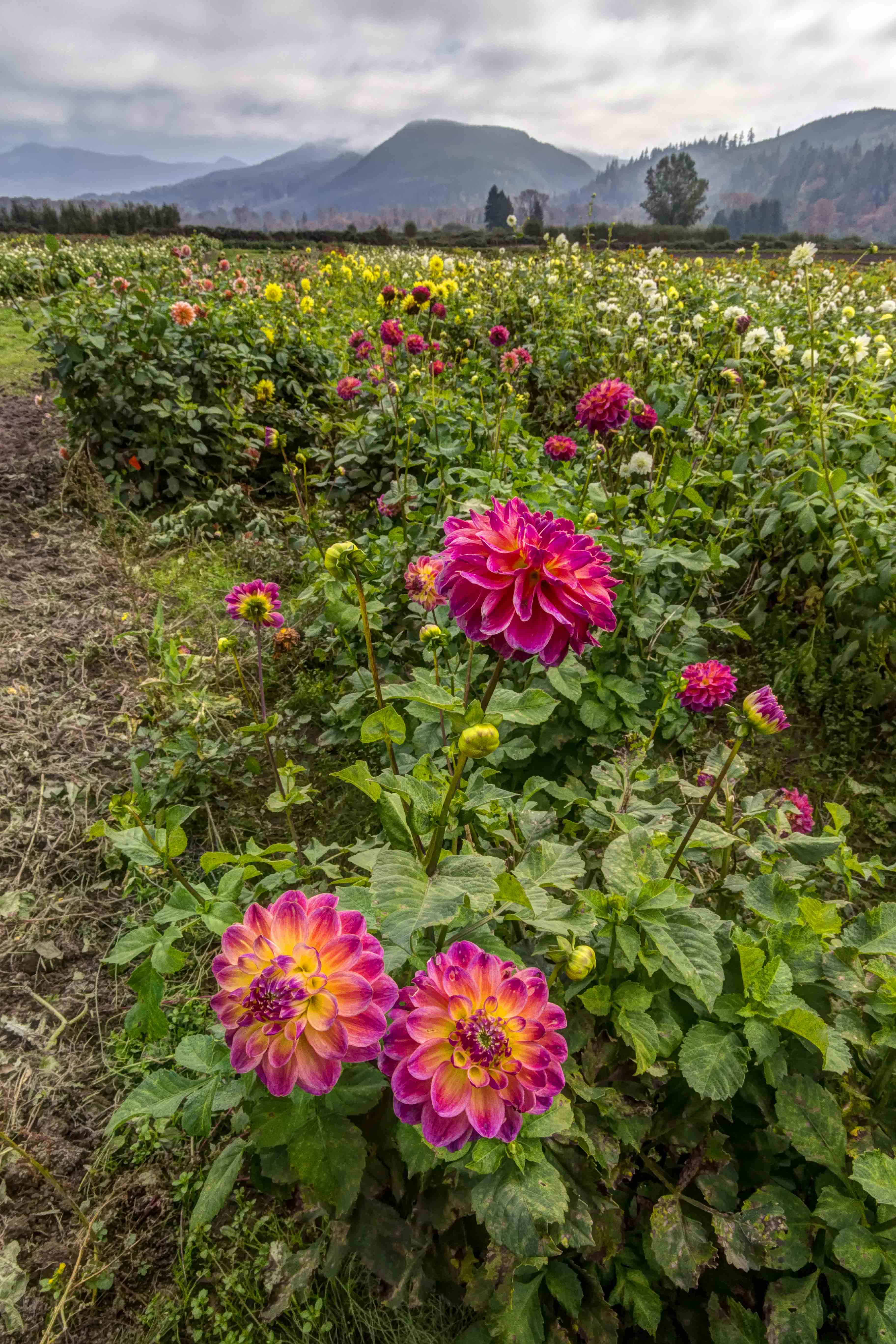
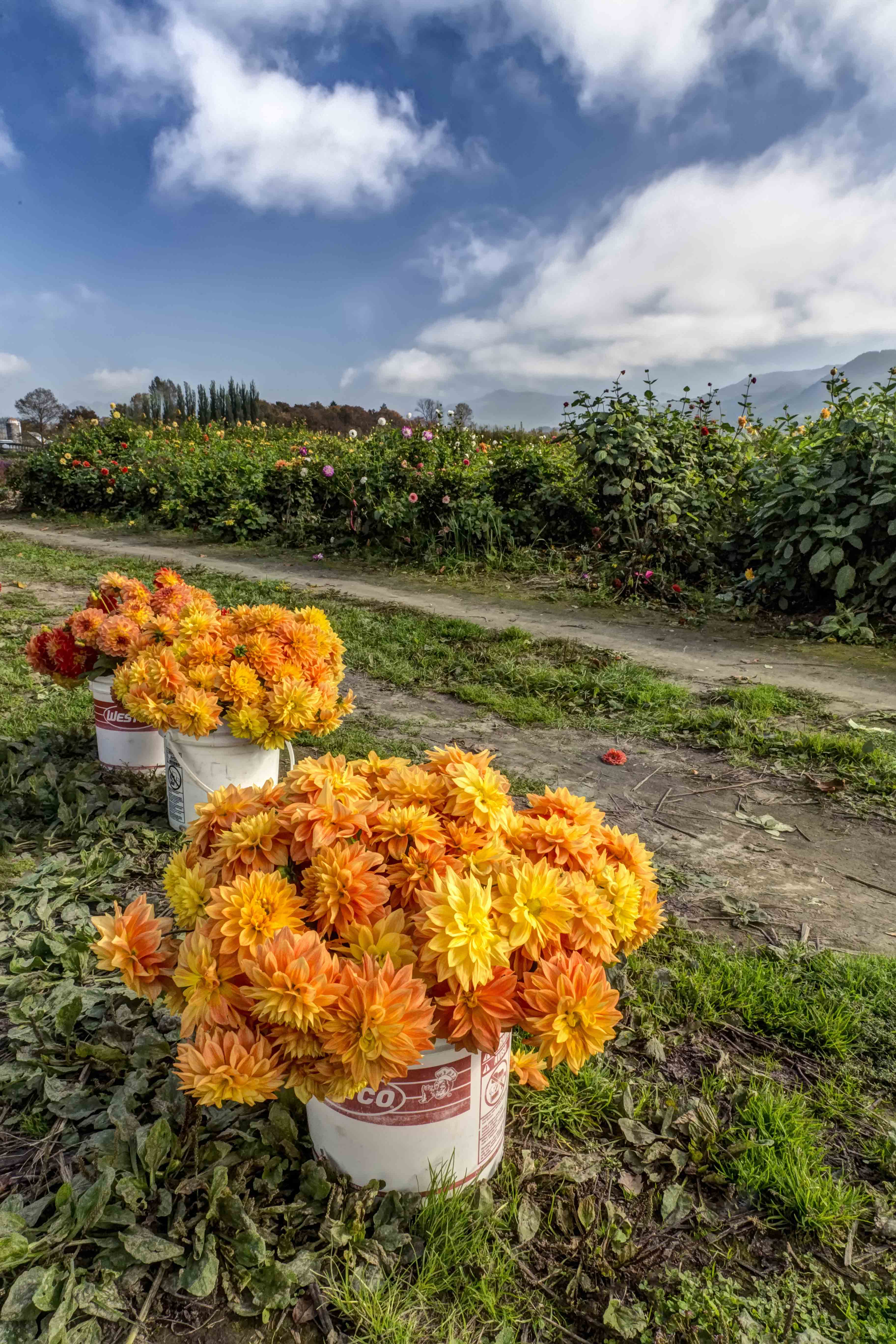
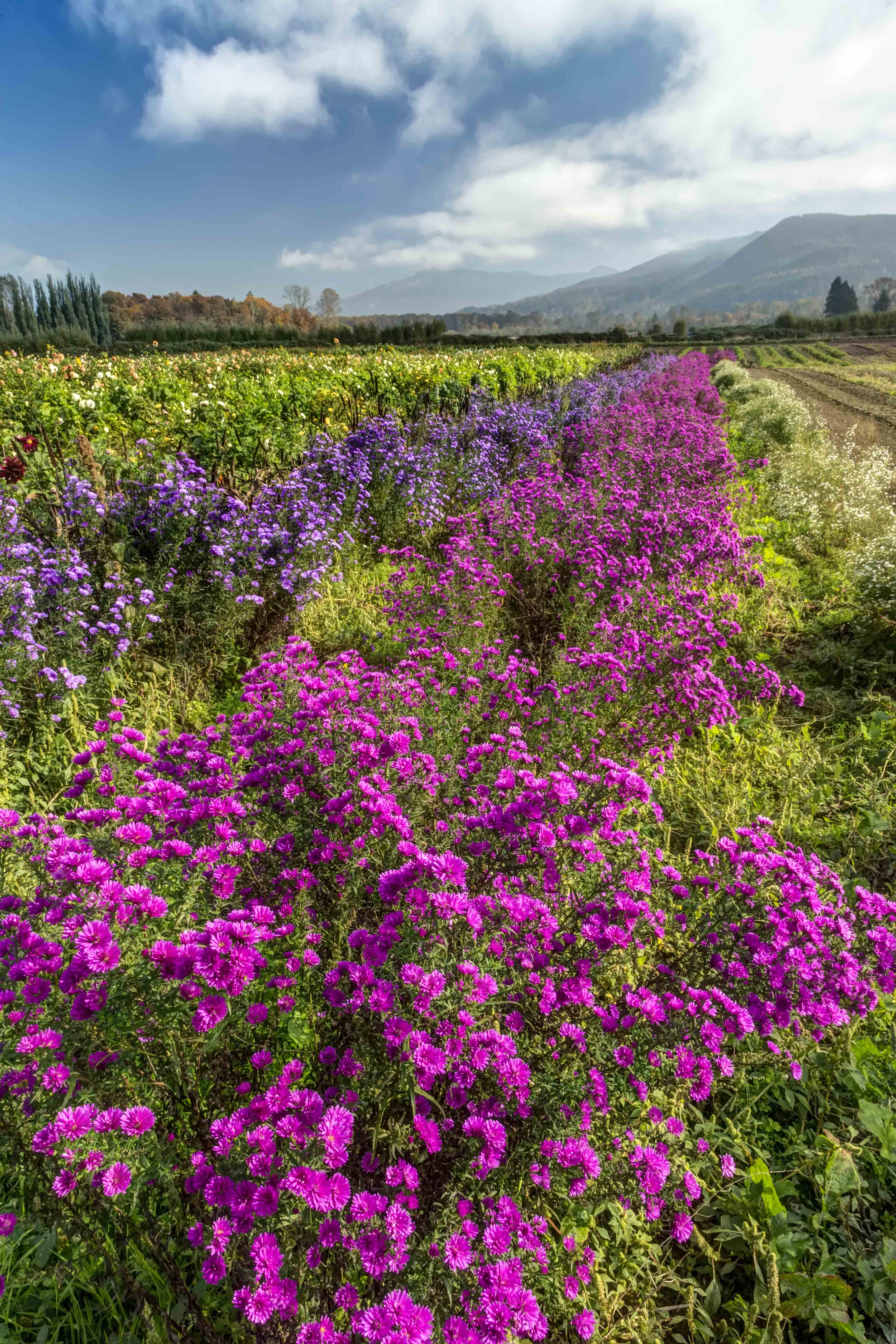
I don’t know that Ive ever seen anything quite as colorful and spectacular as a Dahlia farm in full bloom.

I chanced on the farm while touring the Sky Valley for a fall assignment. Enthralled, I spent more than an hour in sensory overload.

The flowers were so wonderful, along with the sky and clouds that I felt as if I was doing something illegal.

Here are a dozen Dahlias, so to speak.

North Cascades Photography – Washington Pass

Washington Pass

North Cascades Photography – Washington Pass

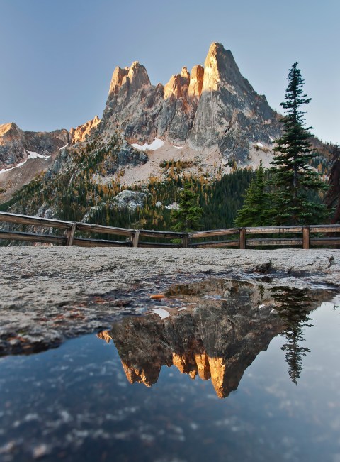
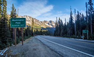
Washington Pass is one of the most scenic spots along the entire Cascade Loop Scenic Highway.

Washington Pass is the highest point along the North Cascades Highway, at an elevation of 5477 ft./1669 m. Liberty Bell Mountain towers over the thin ribbon of pavement. Heading east, the highway plunges down to Mazama and Winthrop. The upper slopes are filed with Larch, which turn bright orange in October. Its a very scenic place!

There is a trail nearby, the Blue Lake Trail. The trailhead is on the south side of the highway. It leads around the Liberty Bell Group to Blue Lake. Fantastic views of Early Winter Spires and larch in the fall, but that’s for another post! .

There is so much snow each winter and the avalanche shoots so steep here that the highway closes for winter, usually in November, and opens again in April or May.

Today, April 18th, 2019 the North Cascades Highway opened for the season, one of the earliest openings I recall. There is still a bit of snow there, along the road, and the trailheads are still snowed in, they wont be open until May or June, earliest. But the road is open!

The Washington Pass Overlook, is one of those places I most always stop when I drive along the North Cascades Highway.

Washington Pass Overlook

Most overlooks are a one time deal, once you’ve seen it, no need to go back!

Not the case here.

The Washington Pass Overlook is in the Okanagon National Forest, and maintained out of the office in Winthrop. The Overlook is well marked, and the parking area is about 1/4 mile off the highway. There is ample parking, several rest rooms and some lights. There is a 200 yard paved path to the overlook, and lots of railings preventing a plunge.

NOTE: Even though the North Cascades Highway is opened, the Washington Pass Overlook may not open until May or June. The 1/4 mile road from the Highway to the Overlook parking is gated at the highway. You can park at the highway (there are usually many spots near the gate) and you can walk to the Overlook.

Here are a few pics from the Overlook.

The best time to get a shot of Liberty Bell is sunrise. The early light illuminates the sheer rock faces wonderfully… Its a long drive, from Sedro-Woolley to Washington Pass is a 2 hour drive! But worth it!

Washington Pass Overlook is also a fantastic spot for Night Sky Imaging. Its deep in the mountains, as there is low light pollution, the Lookout faces south, and you have Liberty Bell as a foreground, but also the hairpin turn of the North Cascades Highway below…

Here are a few images from my many night time visits! This is one of the locations for the Drive-In Night Sky North Cascades Photo Tours.

Here are a few more images of Liberty Bell from Washington Pass.

North Cascades Photography – Cap Sante Park

North Cascades Photography – Cap Sante Park

Finding a great vista is like finding gold to a photographer. A view point from which to capture sunrises, sunsets, moon or stars is priceless. There are many in the North Cascades: Washington Pass Overlook along Highway 20 and Artist Point, at the end of the Mt Baker Highway are two fantastic spots. Down in Skagit Valley one of my favorites is located in Anacortes, along the Cascade Loop Highway.

Anacortes is located on Fidalgo Island. Rosario Strait and the San Juan Islands are to the West while to the South, Deception Pass separates Fidalgo and Whidbey Islands. To the East, the Swinomish Channel separates Fidalgo Island from the mainland.

Cap Sante Park is a 37 acre forested promontory at the eastern edge of Anacortes. It is primarily a viewpoint overlooking the marina, the City of Anacortes, March Point, Fidalgo Bay and the Cascades. A remnant of an amphitheater is located on the east bank of the park.

There is plenty of parking, no rest rooms, and a few very short trails.

Sunrise here is especially spectacular. The serrated ridge-line of the North Cascades scrapes the horizon and Mount Baker grandly stands guard over the proceedings.

This particular set of images of from a sunrise a few weeks ago…

Nearby is Cap Sante Marina. Make sure to stop by for some more wonderful images of all the boats…

Here are a few more images from recent sunrise visits to Cap Sante.


Winchester Lookout, Star Trails and the Aurora Borealis

Summer is coming! That means Night Sky Photo Tour opportunities along the North Cascades Highway! If you’re interested in learning how to capture images of the Milky Way, here is a recent article “Astrophotography with a DSLR” to help get you started.

North Cascades Photography – Skagit Valley Tulips

North Cascades Photography – Skagit Valley Tulips

Skagit Valley Tulips

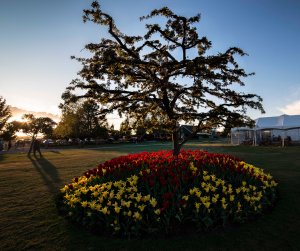
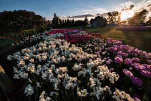
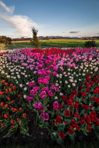
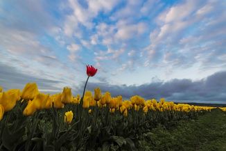
The start of spring in Skagit Valley heralds the Skagit Valley Tulip Festival.

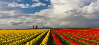
Broad swaths of brightly colored tulips spring up all over the flats.

This is one stop along the Cascade Loop that you don’t want to miss!

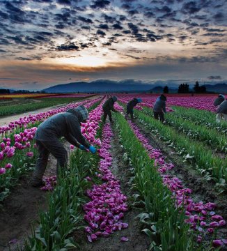
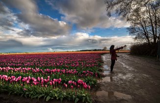
Photographing them is wonderful fun. The saturation of colors, the often cloudy skies and lots of mud always make the trip an experience.

The Washington Bulb Company is the leading grower of tulip, daffodil, and iris bulbs in North America. They grow bulbs throughout the valley and have a huge display garden, Roozengaarde. There is a store, a windmill and manicured beds of flowers, and in the back, large fields of tulips.

You can read about the history of tulips in Western Washington and Tulip Festival here.

Always stick to sunrise and sunsets, and avoid the “Tulip Area” at all costs between 10am and 6pm on weekends and your experience will be a pleasant one!

Each year the location of the fields change, and so do the backdrops. Barns are sometimes nearby the fields, as well as buses, trees and other cool stuff.  You can see where the tulips are, and when they bloom through the Bloom Map.

Once you have scouted out where the fields are for the new season you can get a good idea of whats best for each location. Some will be better shot at sunset and others at sunrise.

Parking is always an issue. Sometimes the large fields have a parking area nearby and collect fees for visiting. Sometimes the fields are located near no parking at all. Be prepared to walk a while.

I visit the fields often, they are close by. The skies in Skagit Valley can get crazy late in the afternoon. Often the worst, rainiest days are best: the dark, heavy clouds sometimes give way to magnificent sunsets.

Photo Tours are available, I take tours on weekdays, for sunset and on weekends for sunrise. Here is the link.

Here are a few images from Tulip Festivals Past!


North Cascades Photography – La Conner Daffodil Festival

North Cascades Photography – La Conner Daffodil Festival

The La Connner Daffodil Festival signals the start of spring in the Skagit Valley.

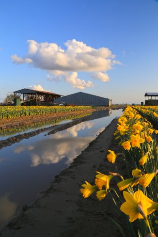
As the dreary winter drags to a close the fields of the Skagit Flats slowly come alive. This years winter was a bit longer than we’re used to, snow was covering the ground only a few weeks ago.

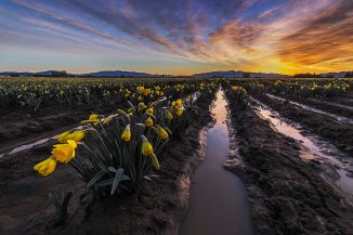
Several warm, sunny spring days is all it took to start this years bloom. Here is a recent image, “Daffodils Under the Moonlight” from March 22, along the La Conner Whitney Road.

Daffodils Under the Moonlight

The bright colors is all it takes to chase away any lingering winter blues!

Each year the daffodils are in different locations, the Bloom Map shows where the fields are located, and when they are in bloom.

Spring is a wonderful time to hit the highway and drive along the Cascade Loop. Skagit Valley is one of many destinations calling you…

Here are a few images from earlier years…

The La Conner Daffodil Festival starts whenever the daffodils start to bloom, which can be anywhere from late Feb until late March.

There is a Photo Contest as well:

La Conner Daffodil Festival Photo Contest

Photographers get ready for the La Conner Daffodil Festival Photo Contest!  All you have to do to be entered to win is take your photos during the La Conner Daffodil Festival and then post to Facebook or Instagram with hashtag #laconnerdaffodils.  We will then choose the top 10 photos and have the public vote on the winning photograph!  The winner will receive a cash prize and be crowned the La Conner Daffodil Festival Official Photo. The photograph will also be used for publicity for the following La Conner Daffodil Festival!

The best times are sunrise and sunset. Please don’t park your car anywhere you’re not supposed to, and be careful out there!

Here are a few more images from years past.

If you’re interested in a sunrise or sunset Photo Tour of the Tulips or Daffodils, I lead Photo Tours Week nights for sunset and weekends for sunrise. here is the link to sign up! Skagit Tulip Festival Photo Tours

North Cascades Photography – Skagit Valley Sunrise

North Cascades Photography – Skagit Valley Sunrise

Photographing sunrise requires a bit of luck. You have to decide where to be for the sunrise, and so you go, in the dark, hoping for nice light…

Once you’re there and the sunrise starts, its usually too late to change locations. Today was one of those exceptions!

There are many wonderful vantage points along the Cascade Loop Scenic Highway from which to photograph the Skagit Valley. One of my favorites is Sauk Mountain. The Skagit River loops in broad curves to the west…

Skagit Valley from Sauk Mountain

But this is only a hike for the summer months, access to the trail usually begins in late May.  Depending upon the years snow fall the wildflowers start blooming in June. Its quite a sight. Here is the link with directions.

For year round access the view from the Samish Overlook is not to be beat. The overlook is located near the Alger exit on I-5. You need a Discover Pass. There are rest rooms at the Overlook and a trailhead leading to Oyster Dome and other places.

Here are directions to the Samish Overlook:

Directions: Samish Overlook    Lake Samish Rd     Bow, WA 98232
From I-5 exit 240, Alger. Go northwest on Samish Lake Road for .5 miles. Turn left on Barrel Springs Road for .7 of a mile. Turn right on B-1000 Road signed Blanchard Forest Block. Go 1.5 miles to intersection with the B2000, signed for Samish Overlook. Turn left and drive 2.1 slow miles to the Samish Overlook and the trailhead.

Skagit Valley

This morning I got an early start and headed to the Samish Overlook, but the road was closed. At Barrell Springs Road there was a barricade…so no luck.

Sunrise over Samish River, March 17, 2019

It looked like it might actually turn out to be a nice sunrise, so I headed to my 3rd go-to place for sunrise, The Samish River.   Here is the image from this morning. I swear the clouds were trying to spell out something for me. I will work on decoding the message later.

Here is a pano from the same spot.

Sunrise Panorama over Samish River, March 17, 2019

If you can read the message (maybe its in Italian!) please send me a translation!

Photo Tours!

  • Tulip Photo Tours will start soon, these are 3 hour sunrise or sunset tours through the tulip fields.
  • Summer brings North Cascades Photo Tours, day hikes and overnight hikes to awesome places in the North Cascades.

These next images of the Samish River were taken from a bridge along the Bayview-Edison Road.

Here are some images from past visits, from the bridge facing the mouth of the river.

If you go to visit the Samish River be sure to stop by the Bread Farm, in Edison, and bring lots of cash.