 North Cascades Photography – Mount Erie

Mount Logan, North Cascades National Park
Skagit County extends about 100 miles from the crest of the North Cascades range, west to Anacortes and Cypress Island.
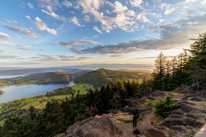
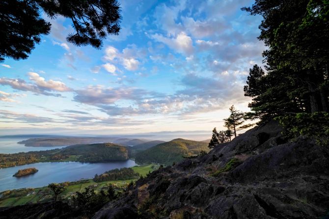
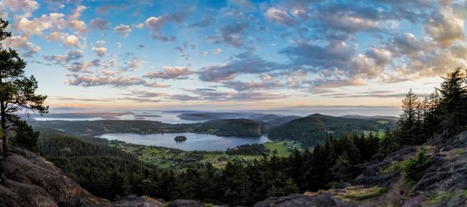
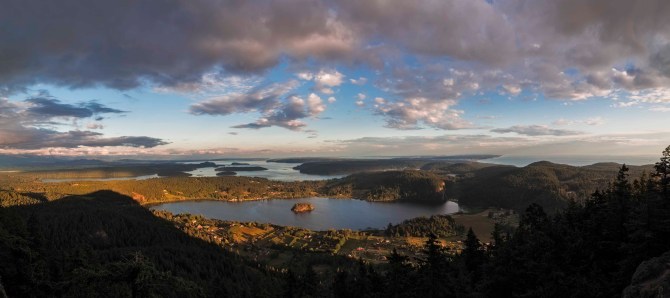
Mt Erie is located in Anacortes. The summit rises more than 1,200 feet above the sea and is visible clear across the valley.
Cascade Loop Mt Erie is on the Cascade Loop Scenic Highway. In fact this years Cascade Loop Magazine sports an image taken from Mount Erie! 
The mountain is a city park, part of the Anacortes Community Forest Lands. A paved road takes you to the top.
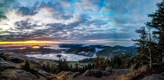
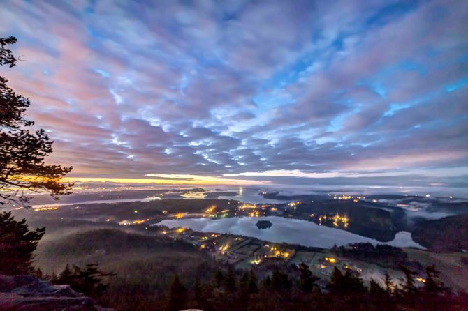
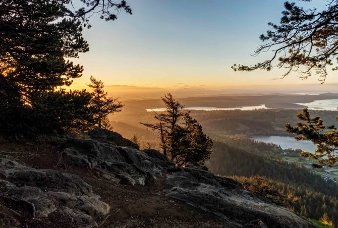
The view south encompasses Campbell Lake and the Puget Sound.

Mt Baker at sunrise, from Cypress Island
The park is multi-purpose, there is a network of hiking trails, picnic tables, paved walk ways and many spectacular vistas.
The rocky bald face of the mountain attracts rock climbers from all over. The south facing slopes are accessible year round, more info on climbing here.
I have visited several times for sunrise and sunset.
 There is a very short sidewalk to a stone bench. The view south, over Lake Campbell really cant be beat!
Here is a series of sunrise images from several visits.

-
- Mt Erie
-

- Mt Erie

These are sunset shots, all from the last few months.
-

- Mt Erie
-

- Mt Erie
-
- Mt Erie
-
- Mt Erie
Night Sky Photo Tours are scheduled on the New Moon. Find out more here.

What a lovely place to loose yourself, Andy 🙂 🙂