The Pacific Crest Trail is a 2,400 mile long foot trail stretching from the US border with Mexico through California, Oregon and Washington State to Canada.

Pacific Crest Trail, Pasayten Wilderness
Powder and Shull Mountains, from the Pacific Crest Trail, Pasayten Wilderness
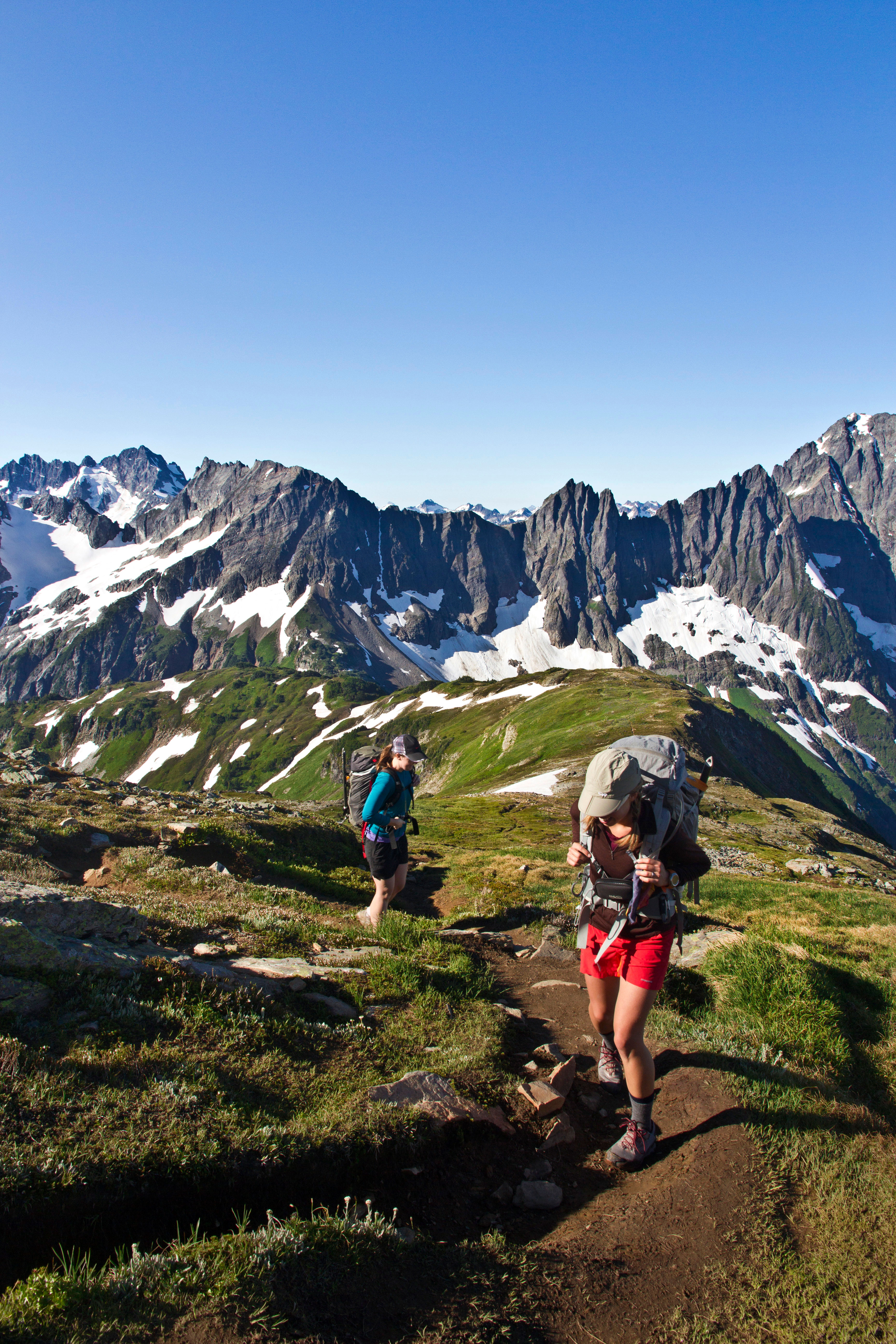
The northern most part of the PCT follows the Cascade Crest crossing Rock Pass, Woody Pass and then making a long gradual ascent of Lakeview Ridge.

Rock Pass, from Woody Pass
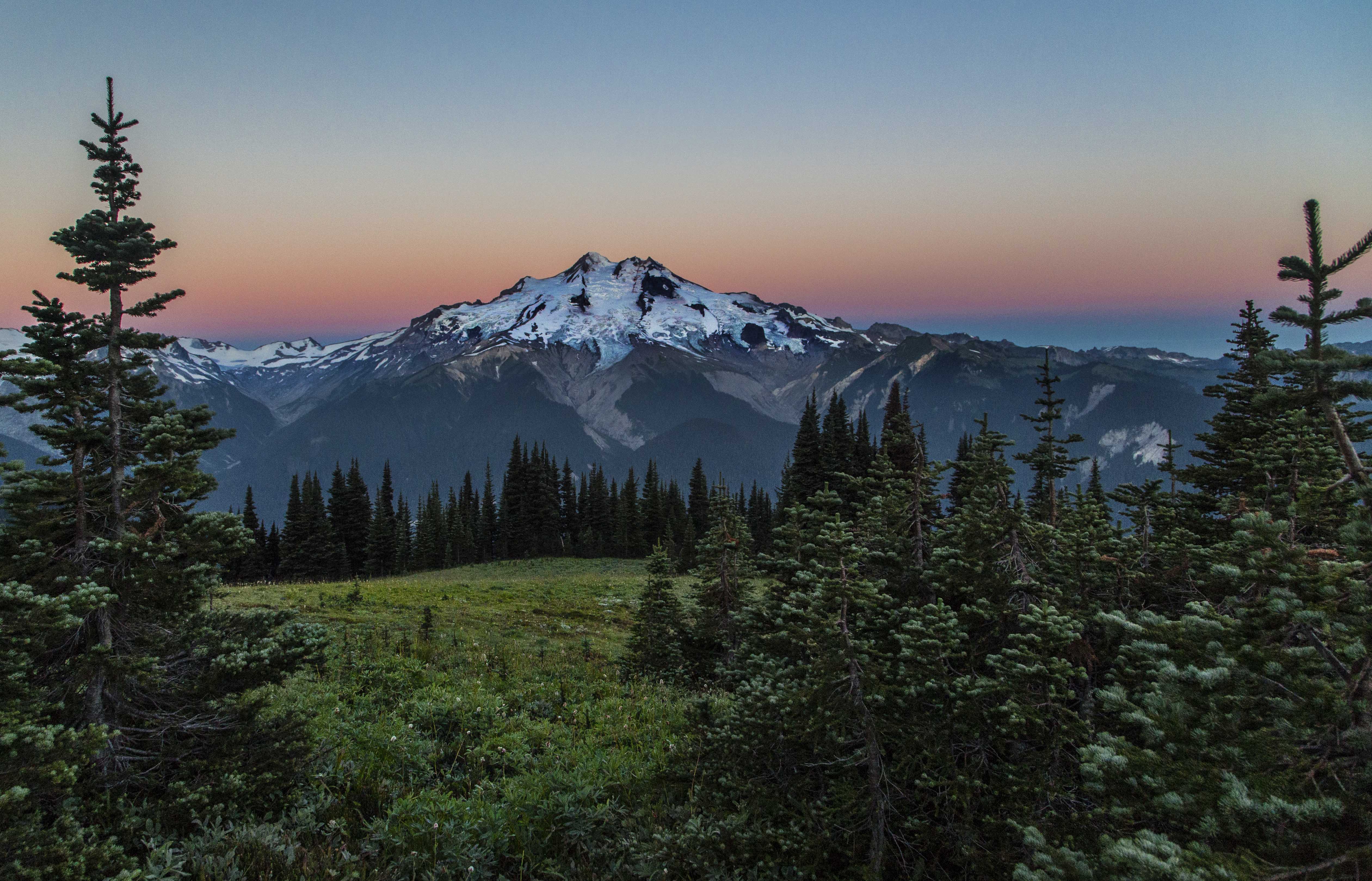
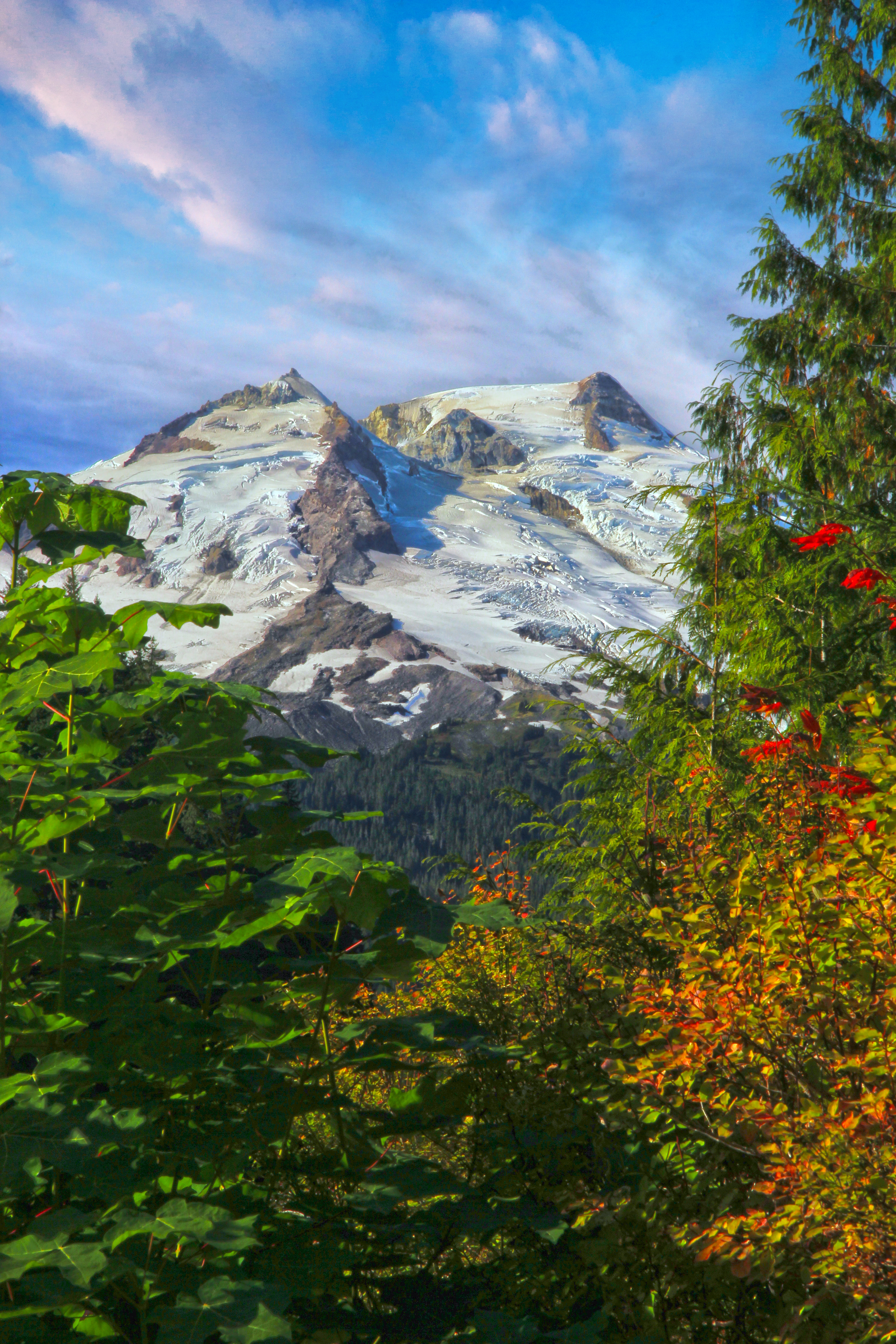
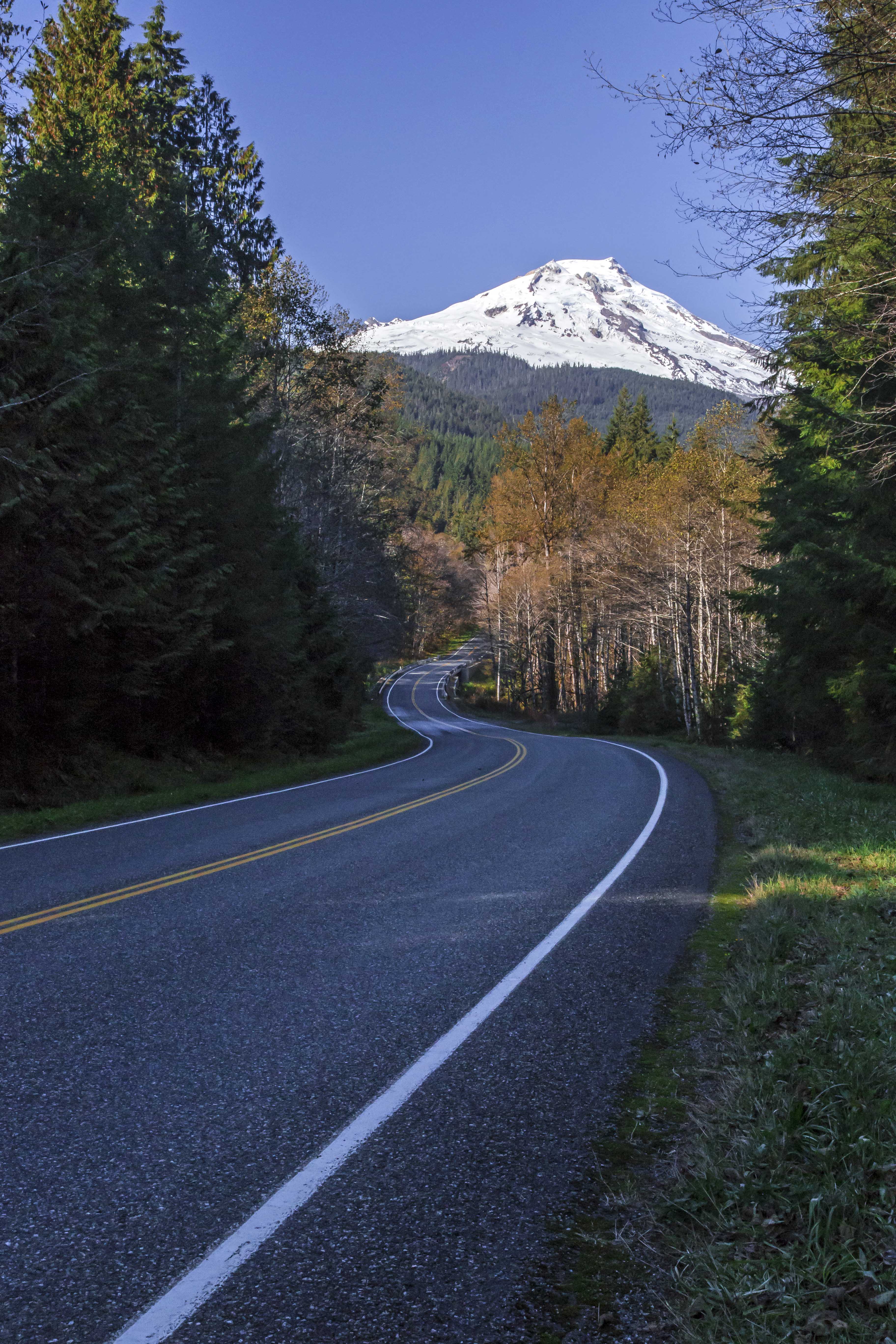
Here a more than 7,000 feet the views are breathtaking. Lining the international border are Hozomeen Mountain, Joker and Freezeout Mtns and Castle Peak. To the west the snowy dome of Mount Baker is clearly visible. Three Fools Peak dominates to the horizon to the south.

Three Fools Peak from the PCT on Lakeview Ridge
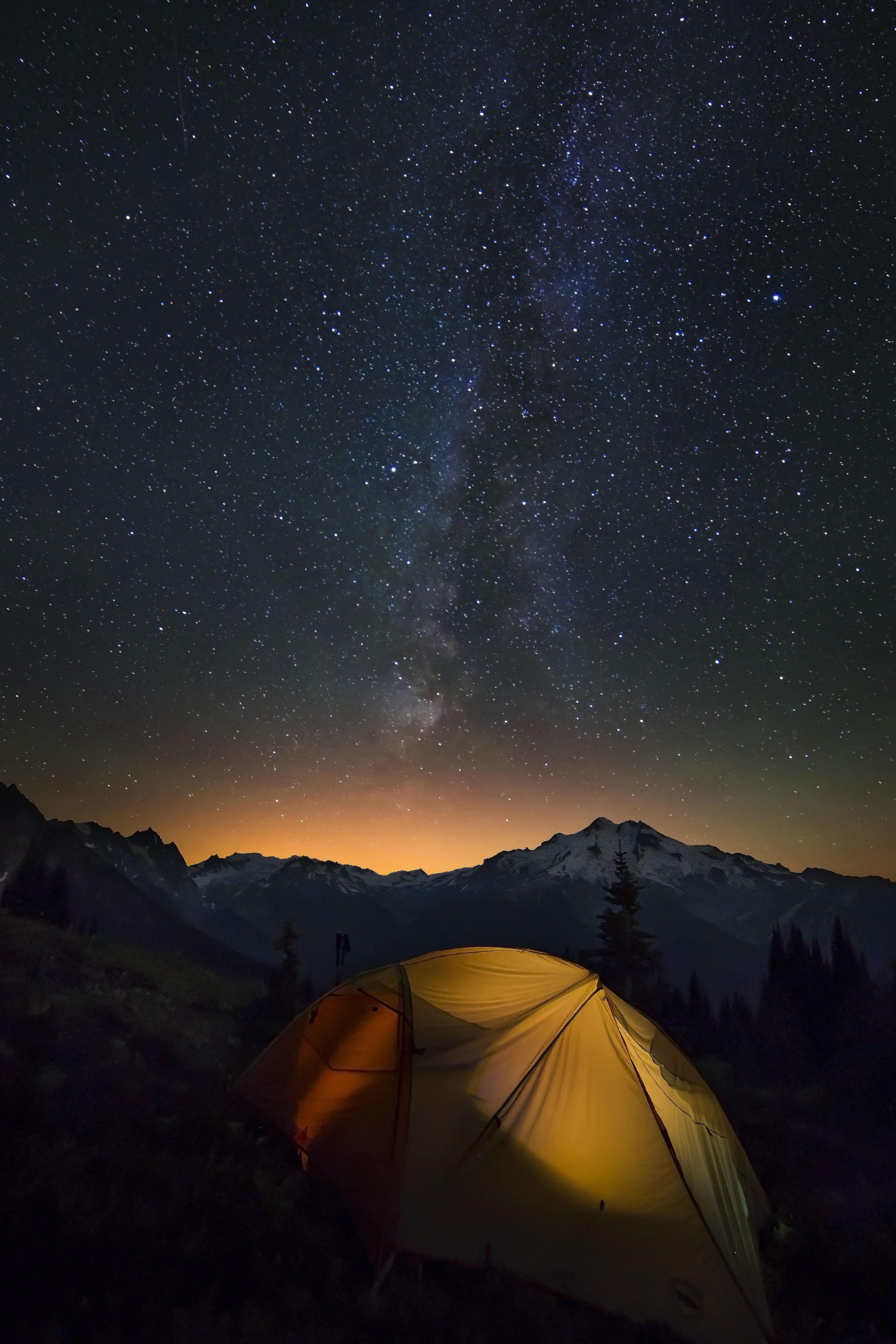
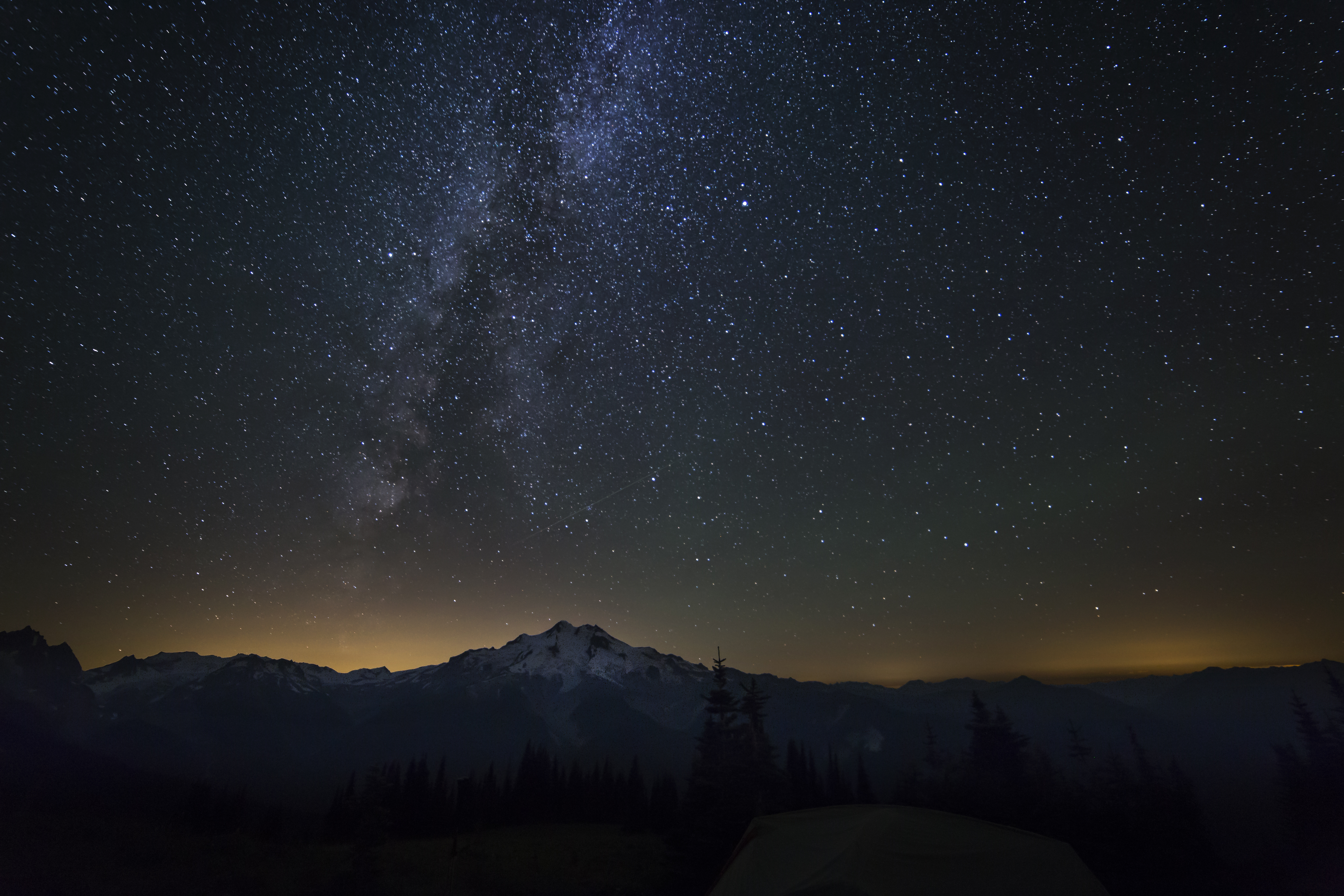
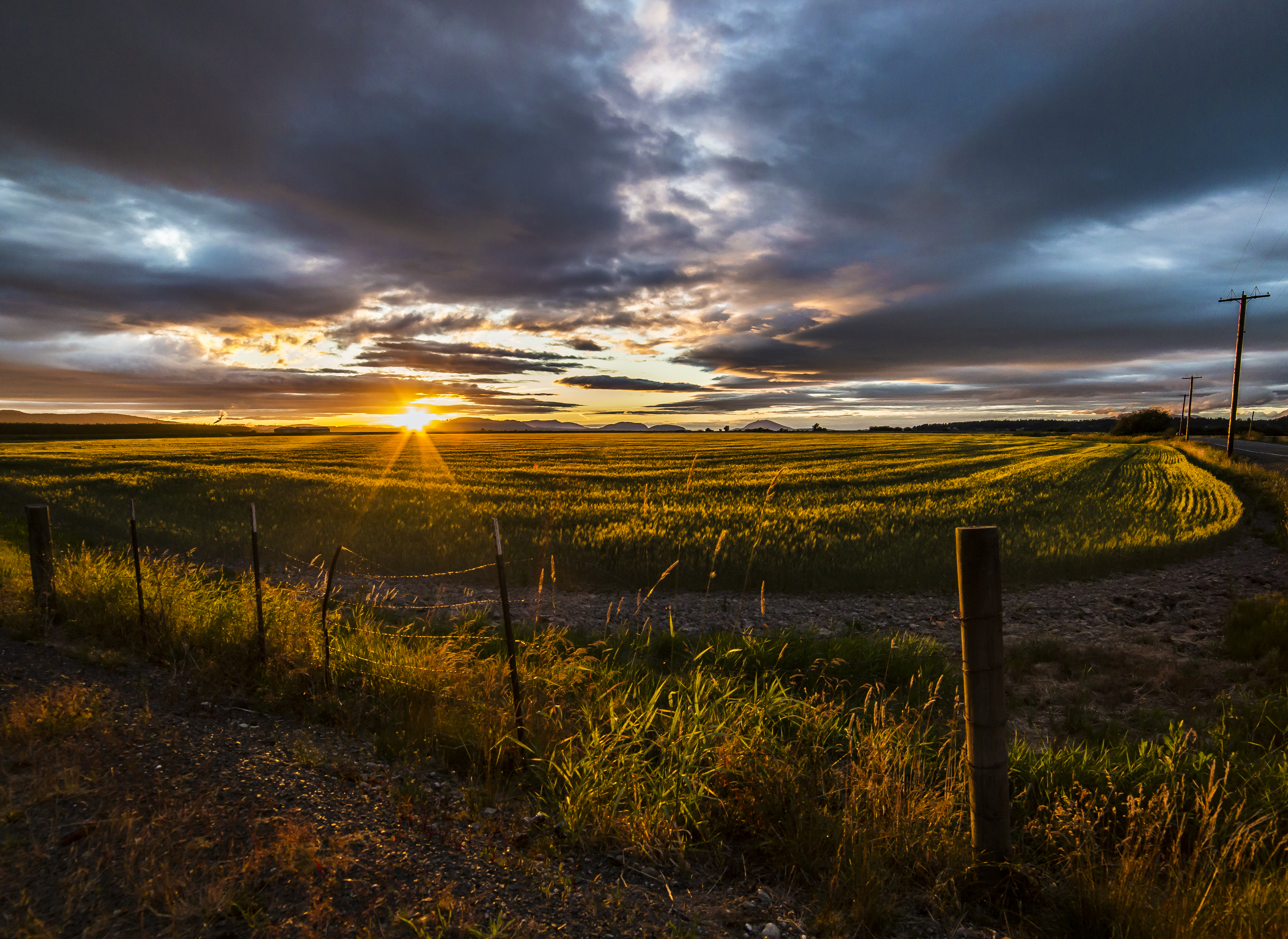
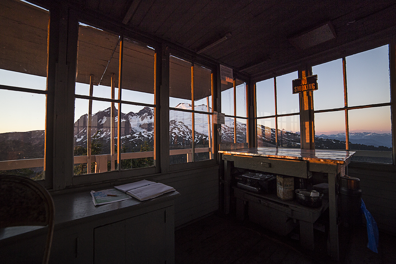
The grassy ridgetop is a fine place to camp. Snow lingers here, usually until August, providing water.
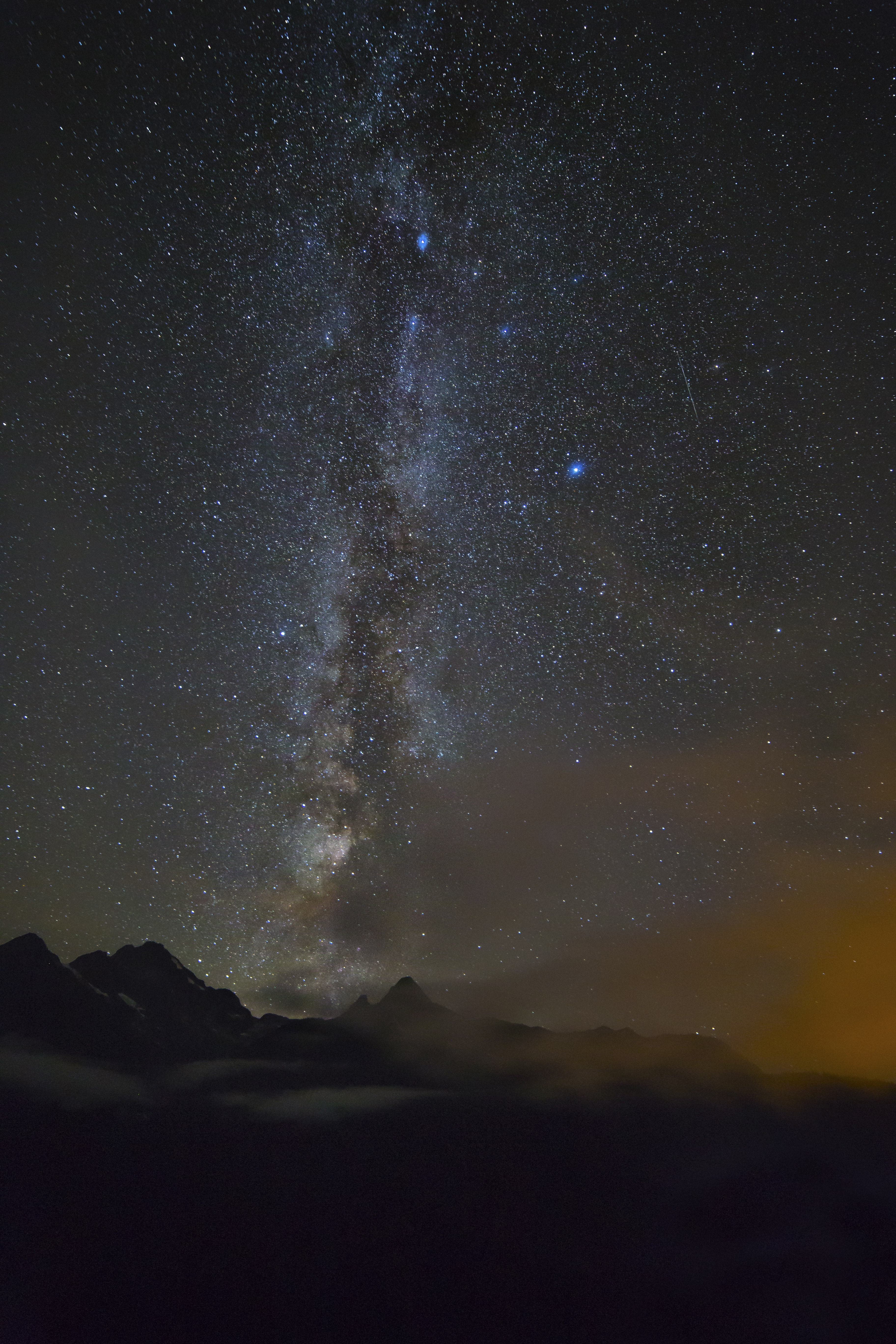
Lakeview Ridge at Sunset

Jack Mountain from Lakeview Ridge
The easiest way to get here is to drive to Mazama and take the road towards Harts Pass, up the steep valley and towards Slate Peak. The road (generally suitable for passenger vehicles) bisects the PCT just below the summit of Slate Peak. This it the highest point that can be reached by car in Washington. From here its about a 20 mile hike to the top of Lakeview Ridge.