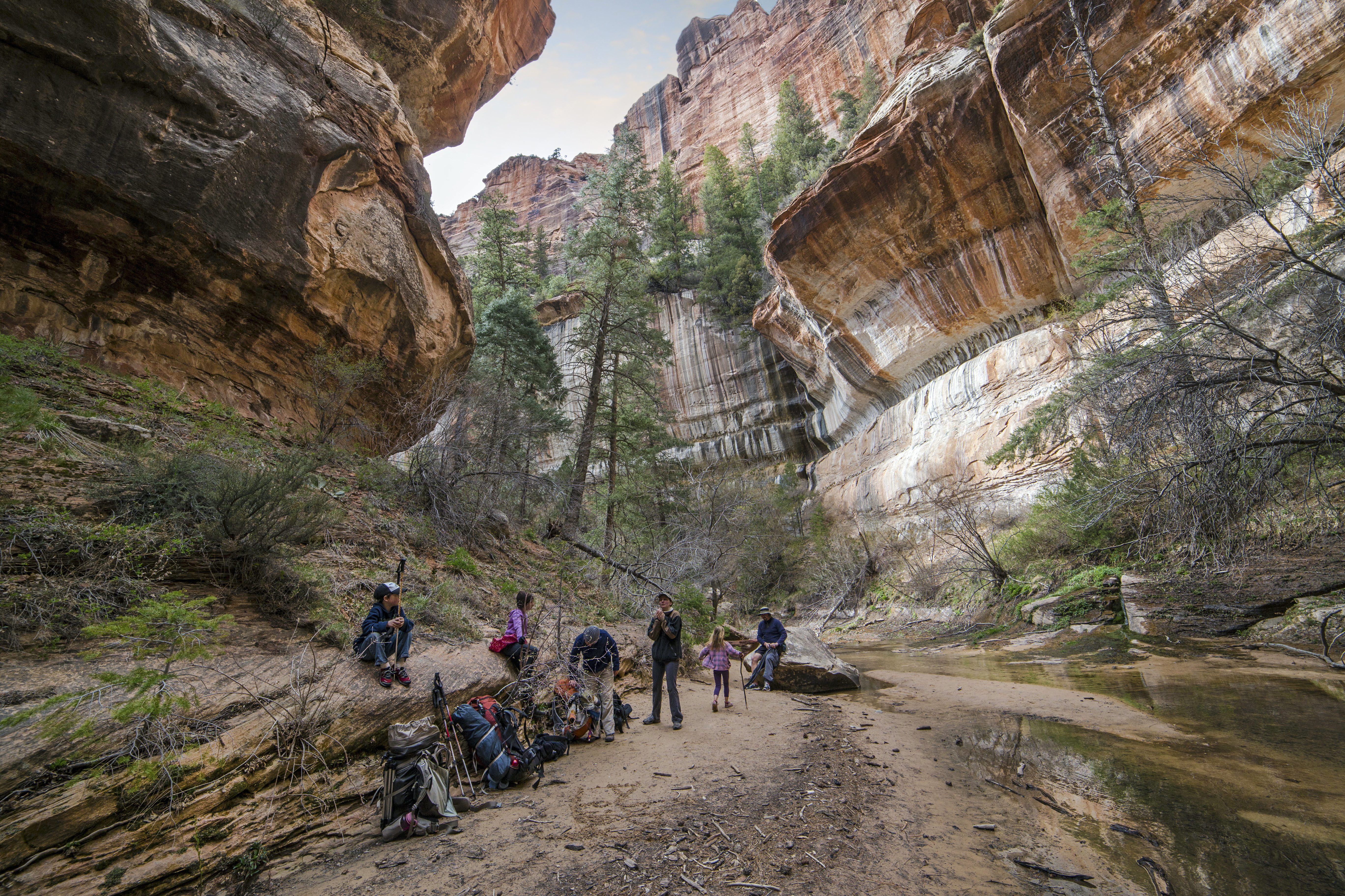
Always looking for new adventures in the North Cascades I had heard for years about this loop. Its about 40 miles and covers some very striking terrain. The Glacier Peak Wilderness in in the North Cascades of Washington State, nestled between Highway 2 (Stevens Pass Highway) and Highway 20 (North Cascades Highway) its one of the most rugged parts of the state. We did the loop in 6 days and here are a few pictures!

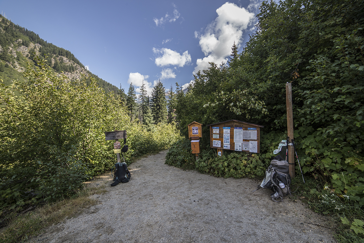
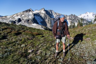
Start of the trail
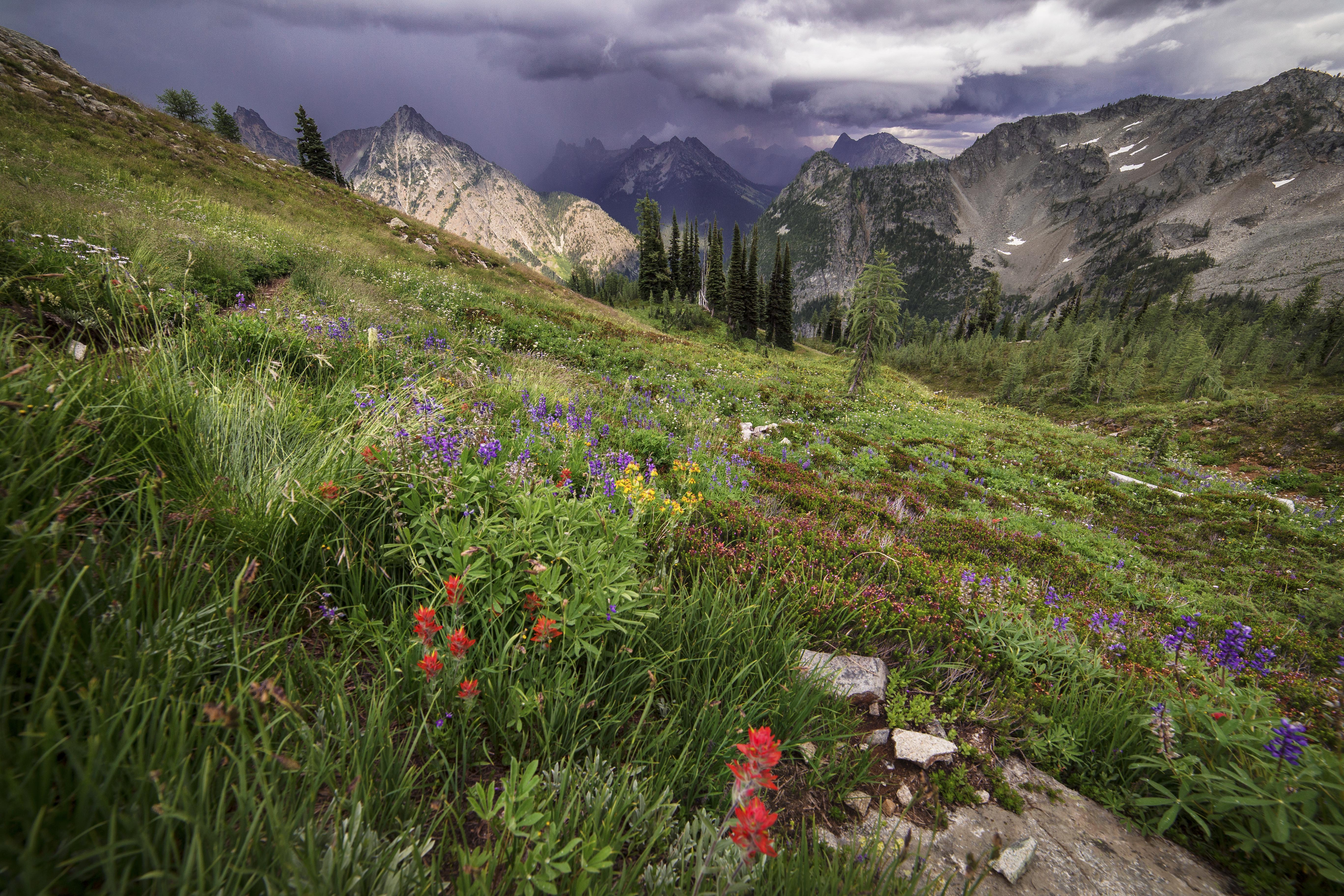
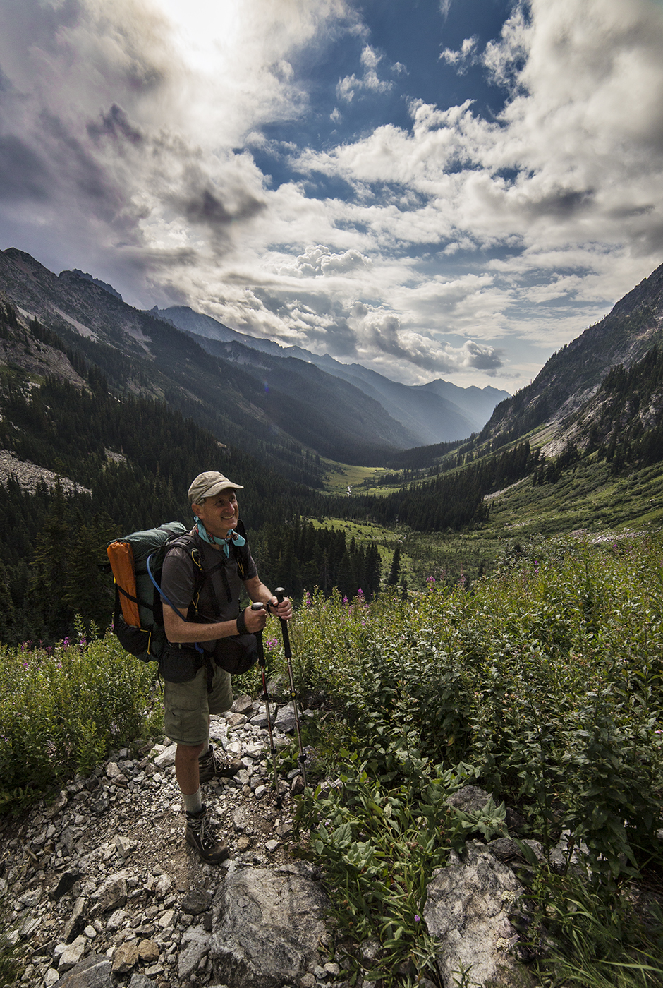
We hiked the first day about 5 miles to Spider Meadows. There were many people camped here (it was on a Saturday) but not hard to find a wonderful camp in the endless green meadows. The sky was filled with wonderful clouds…

Spider Meadows
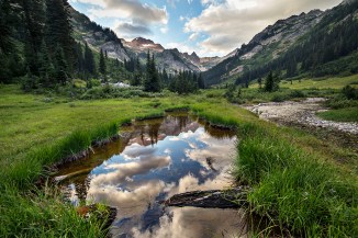
Spider Meadows

Spider Meadows

Spider Meadows
Spider Meadows
The next days hike took us up steep switchbacks above the valley, to the narrow defile of Spider Gap.

Spider Meadow from above

Lawrence on the trail to Spider Gap
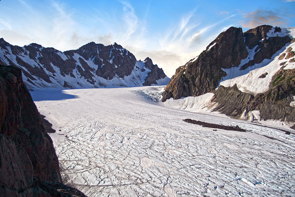
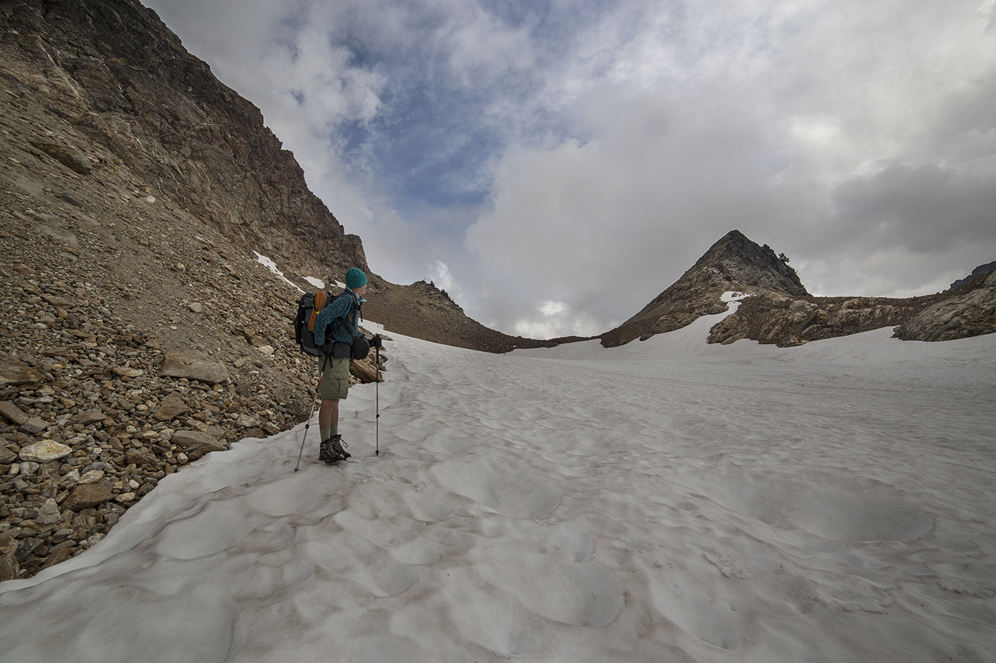
And then onto, up and over Spider Glacier. As we gained elevation the clouds got thicker. And when we reached the top the rain and hail started.
Ascending Spider Glacier

At the top of Spider Gap
We donned rain gear and slid down the glacier on the other side, towards Upper Lyman Lake.

In the rain
The sky was very dark and as we made our way down through the rain we encountered another hiker, who passed us by, on the same loop as us. Our paths would cross several times on our hike. His name was Steve and he had hiked more trails and miles in the North Cascades than anyone I had ever met.
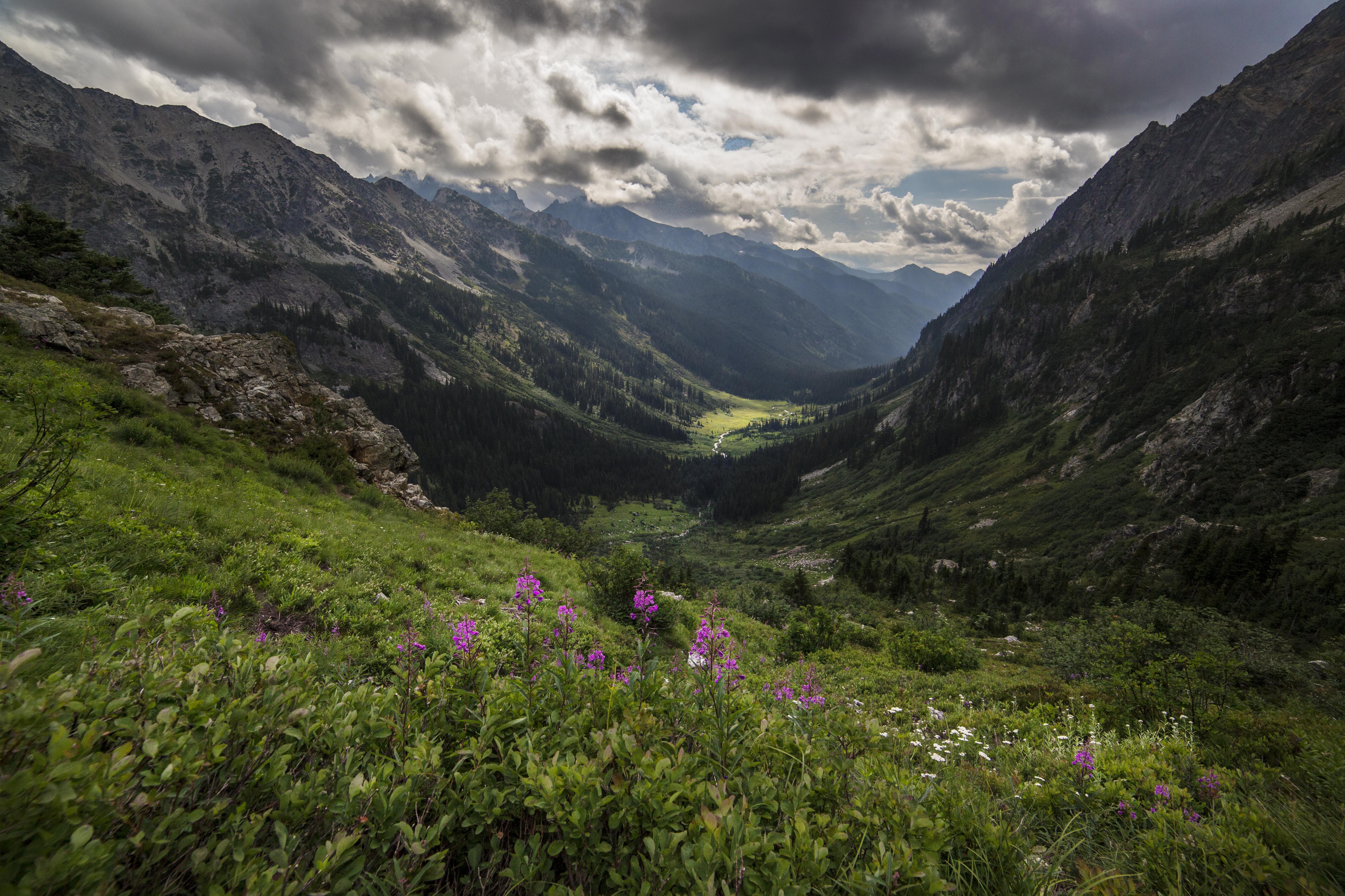
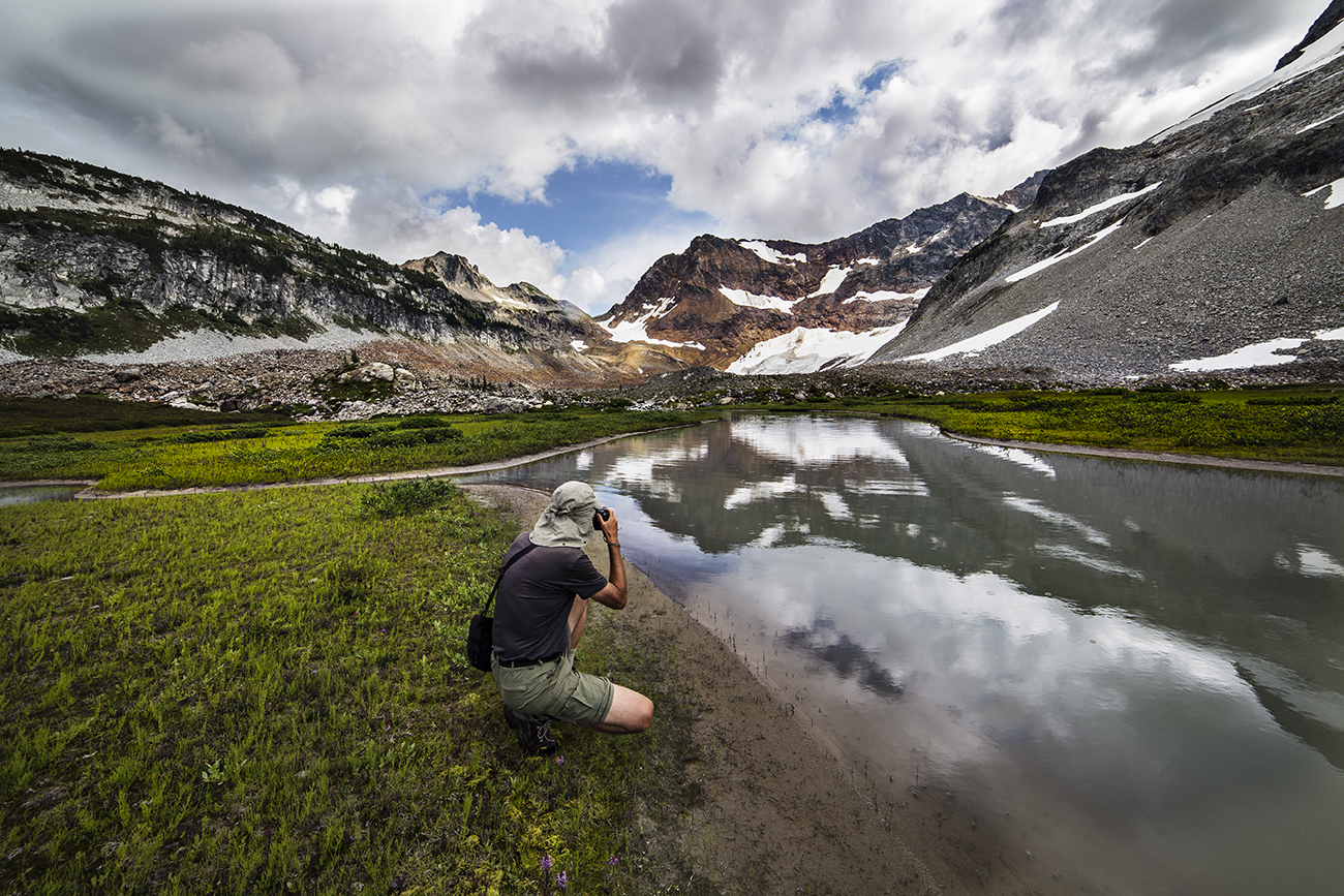
The stark beauty of the valley captivated me and we dallied, wishing for clearing skies…

Clearing skies
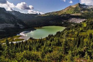
Soon our wishes were answered and the sun came out to greet us. The rocks and gray-green water of the lake were like a magnet for me.

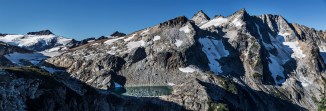
Upper Lyman Lake

Upper Lyman Lake
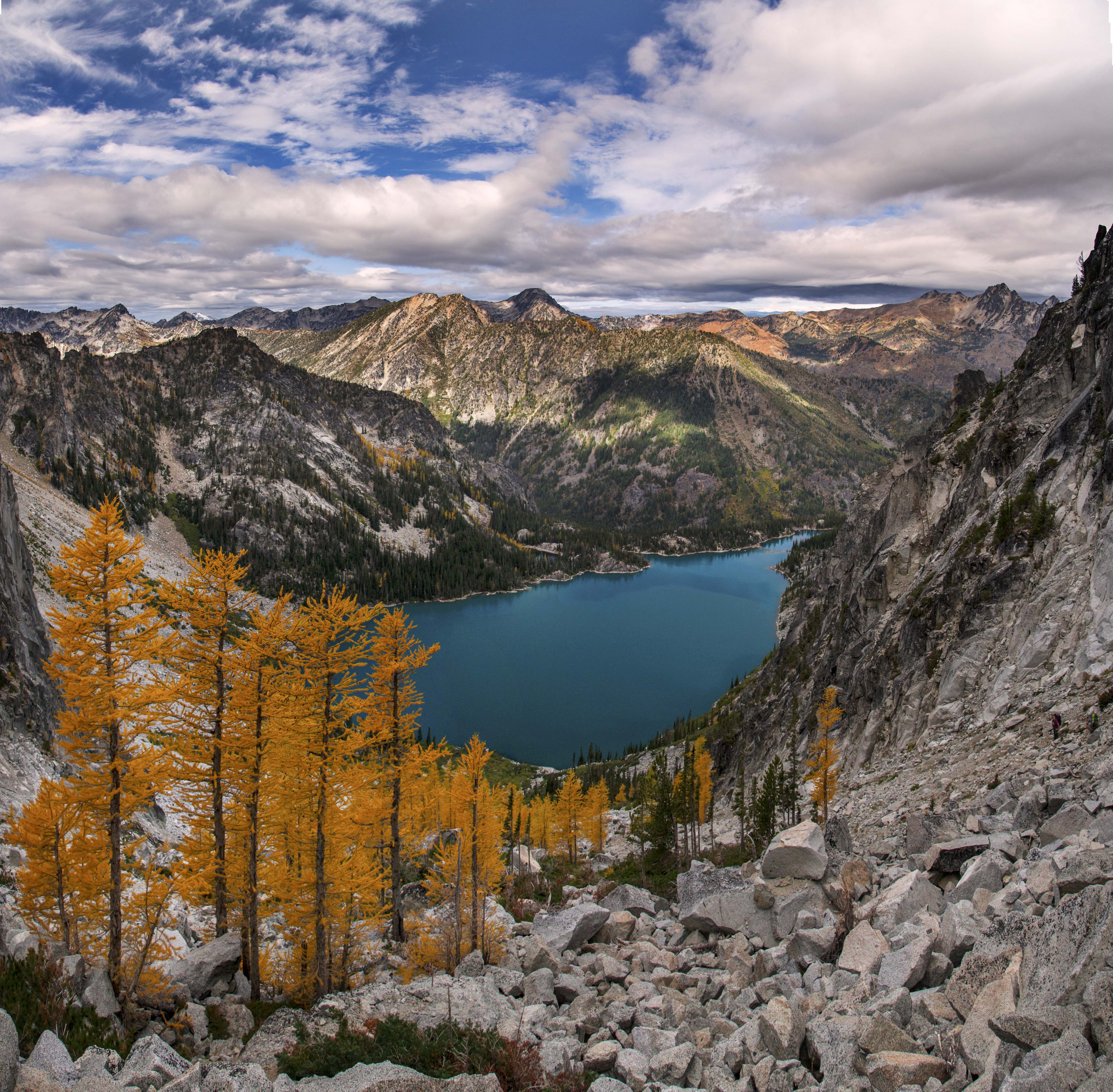
Reluctantly we left and trekked down through some wonderful grasslands towards Lyman Lake.
Looking back at Spider Gap, the low saddle on the left

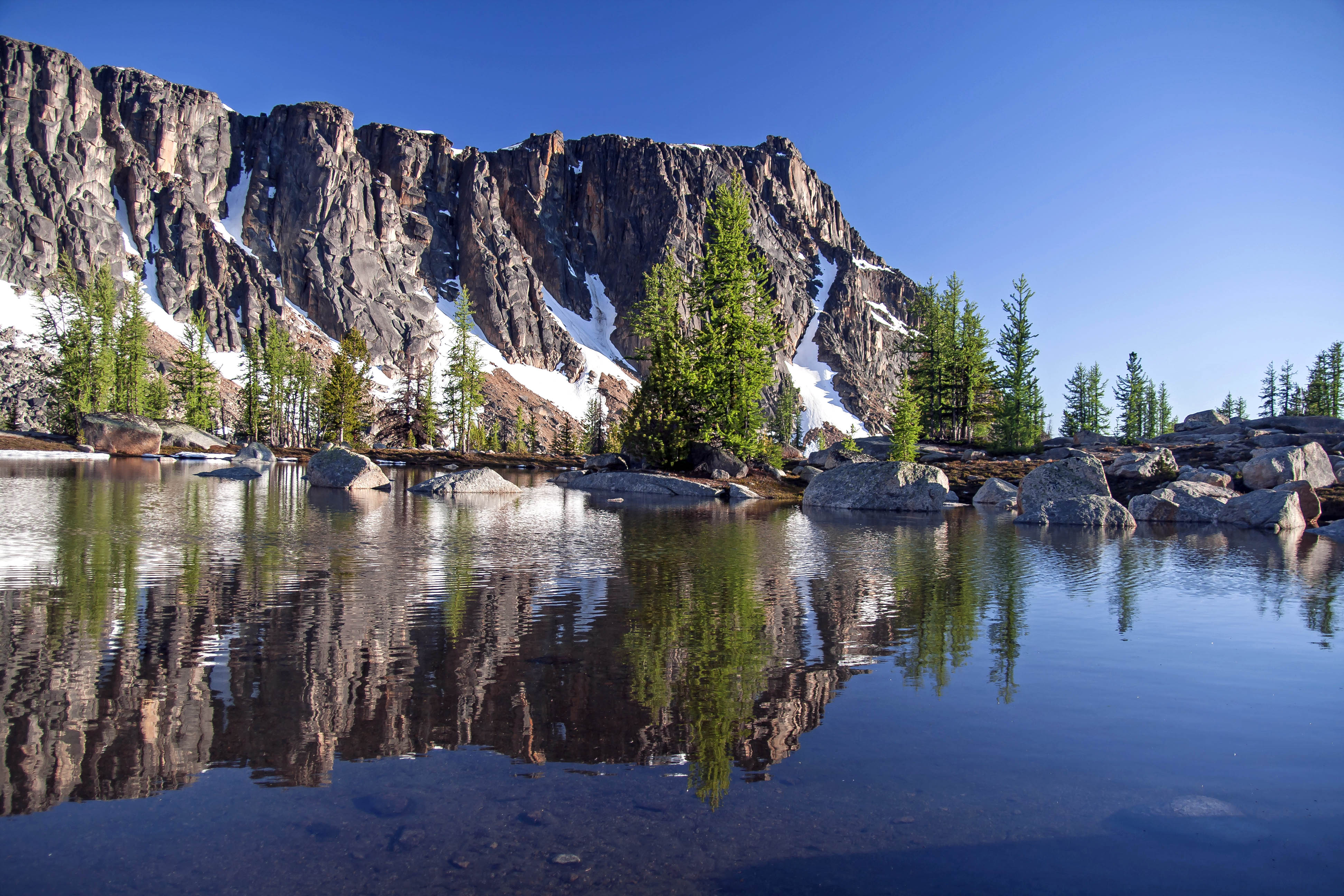
Reflections in Upper Lyman Basin
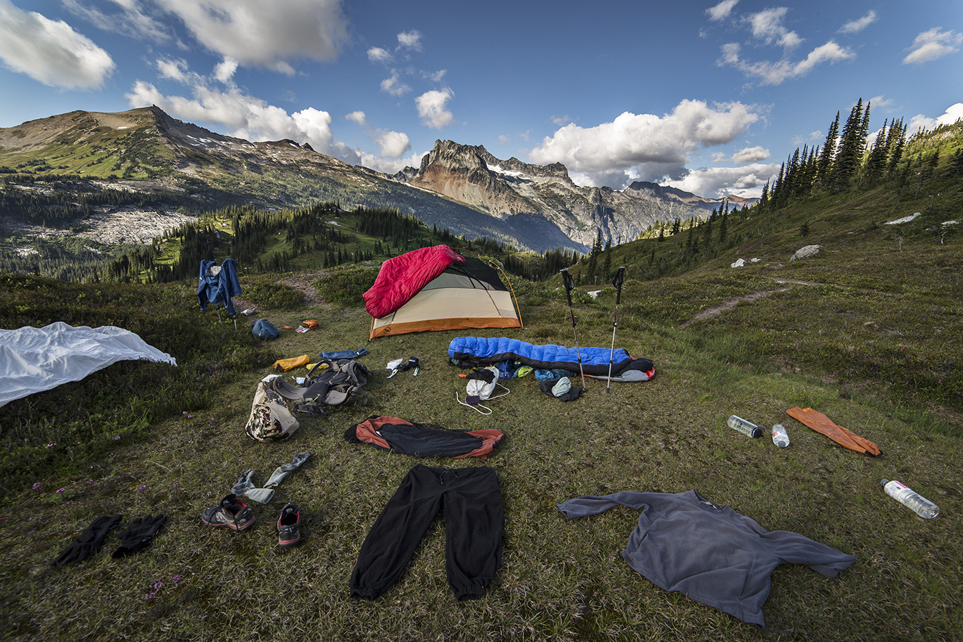
On the way we passed a perfect spot to camp, and so stopped to lolly-gag in the sun while we got our wet gear dry. We had perfect views of Lower Lyman Lake and Cloudy and Bonanza Peaks.
Lower Lyman Lake

Drying out in the sun
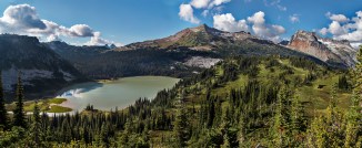
Lower Lyman and Bonanza Peak
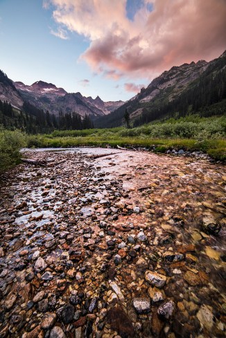
The next day took us down into the forest and back up to Cloudy Pass. We could look back and see where we had crossed through Spider Gap.
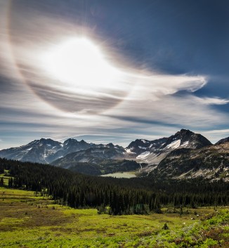
Upper Lyman Basin from Cloudy Pass. The sun halo was…real!

Looking north from Suiattle Pass, down Agnes Gorge
Our trail took us over Suiattle Pass and along Miners Ridge and then down to a river crossing. Here our path was along the Pacific Crest Trail and we must have met more than a dozen thru-hikers, all hurrying along to complete their 2,400 mile quest.
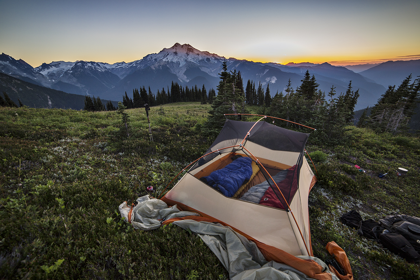
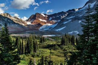
Buck Creek Pass was another highpoint of the trip. From here a trail climbs and rounds Liberty Cap as it heads towards High Pass.

Glacier Peak: evening light

Glacier peak: Morning Light
We camped here, with magnificent views of Glacier Peak.

Glacier Peak
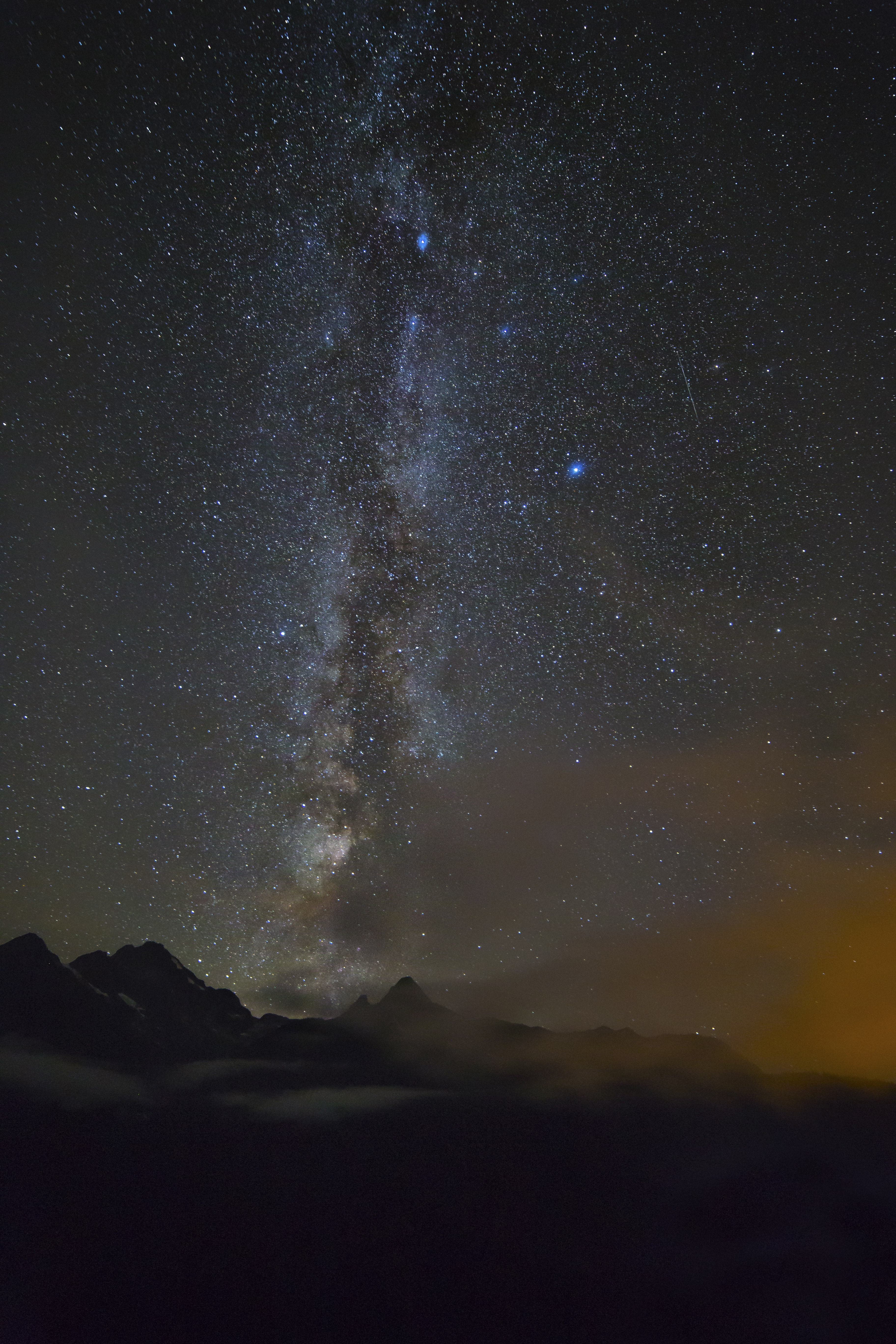
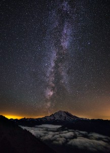
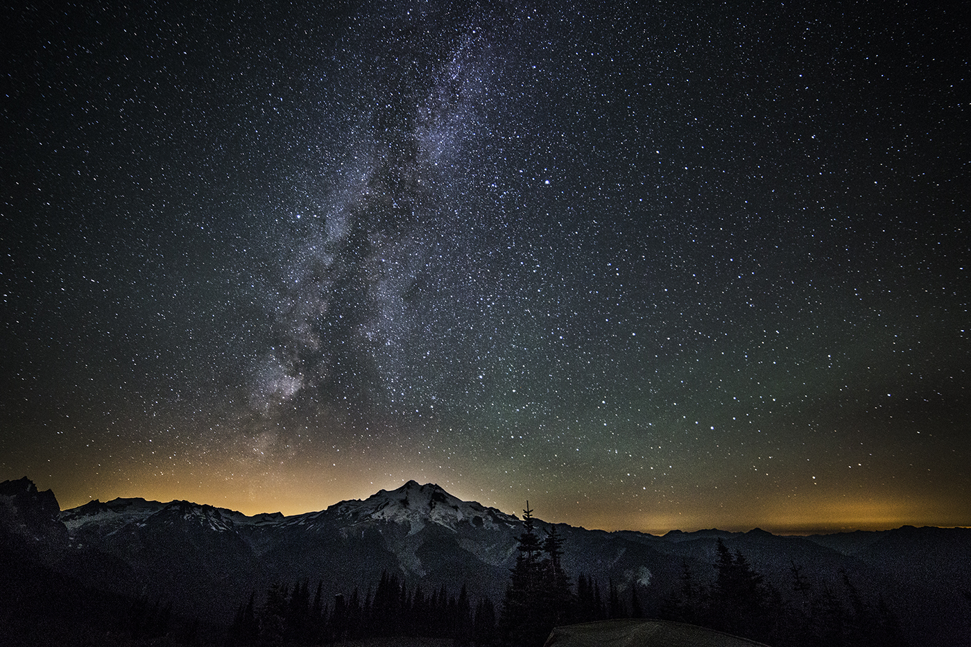
The stars at night was alive.

Glacier Peak, Milky Way
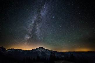
Glacier Peak, Milky Way
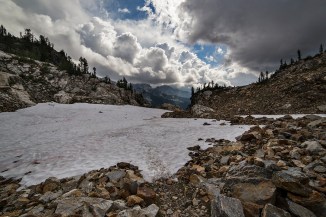
Early the next morning we made our way along a wonderful ridge to High Pass. Here we could get a glimpse of the barren rocks and snow around Triad Lake.
Steve at High Pass
Triad Lake
Making it back to our camp we gathered our stuff and hiked back to the car. The wildflowers along the trail down from Buck Creek pass were beyond compare!

Glacier Peak, wildflowers
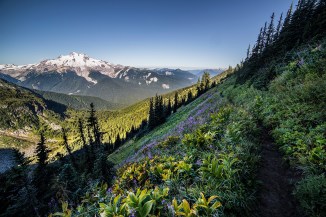
Glacier Peak, wildflowers
All in all one the most satisfying loop treks I have done in Washington!