Pumpkins, kids, sunny skies, warm fall day…what could be better? 

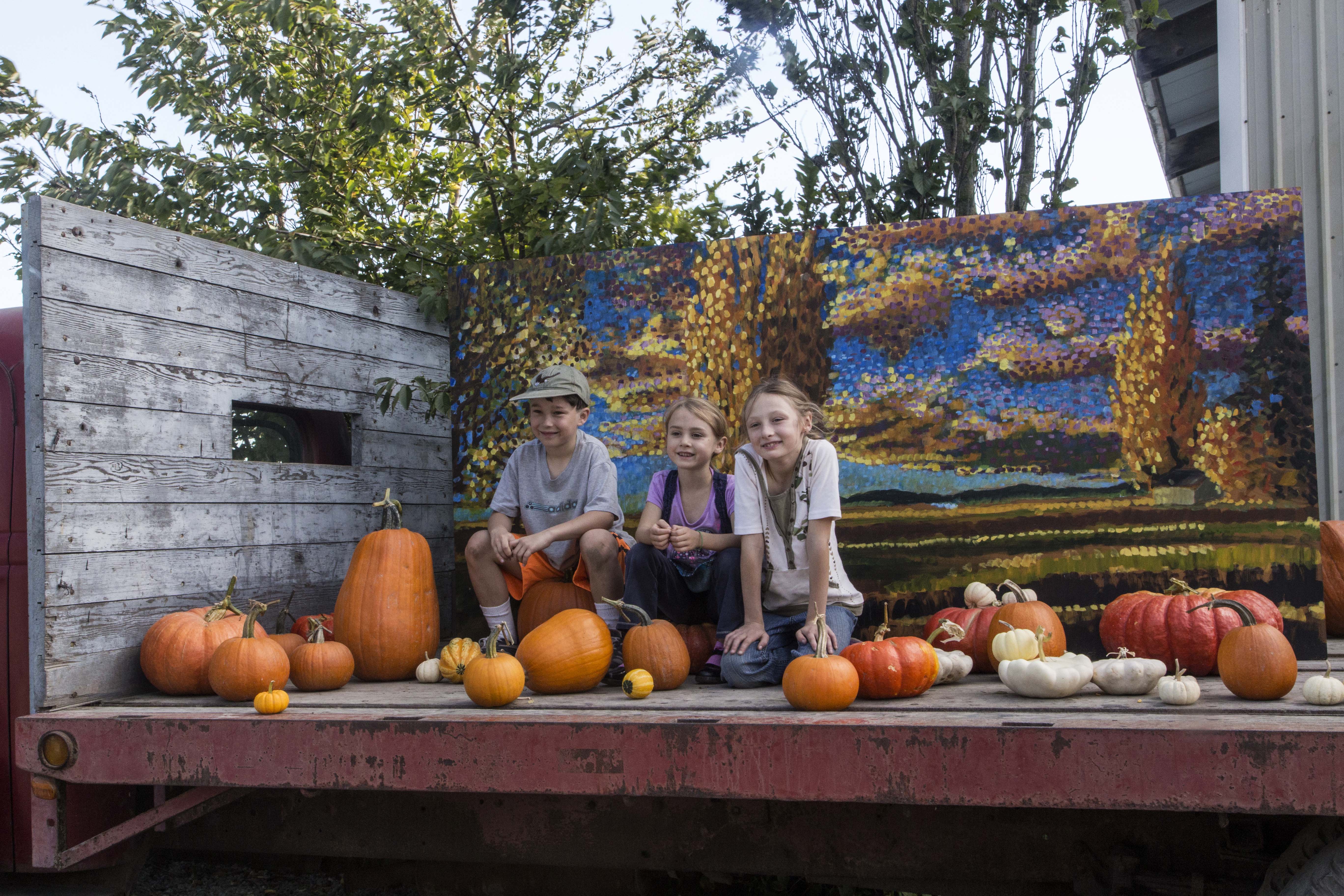
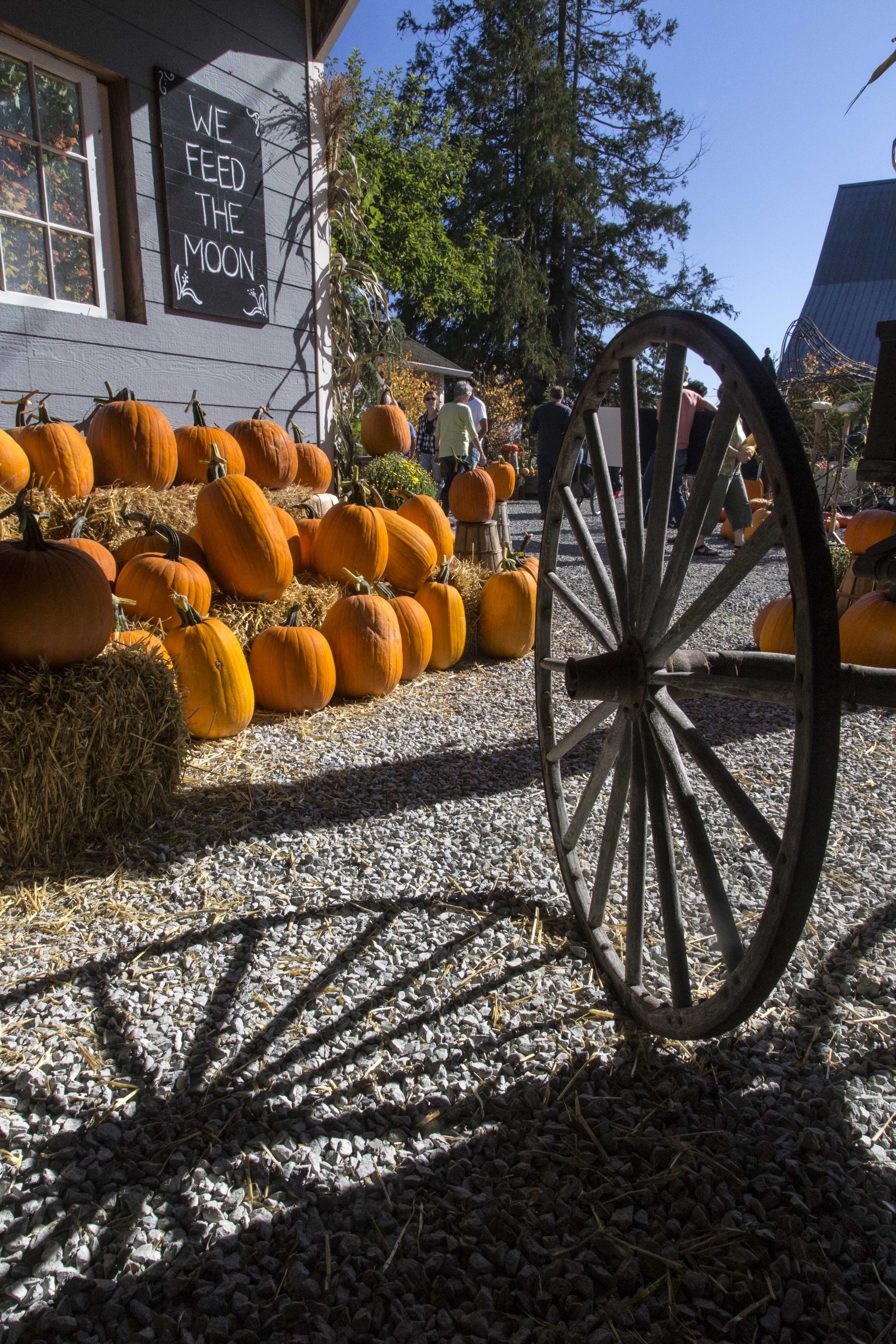
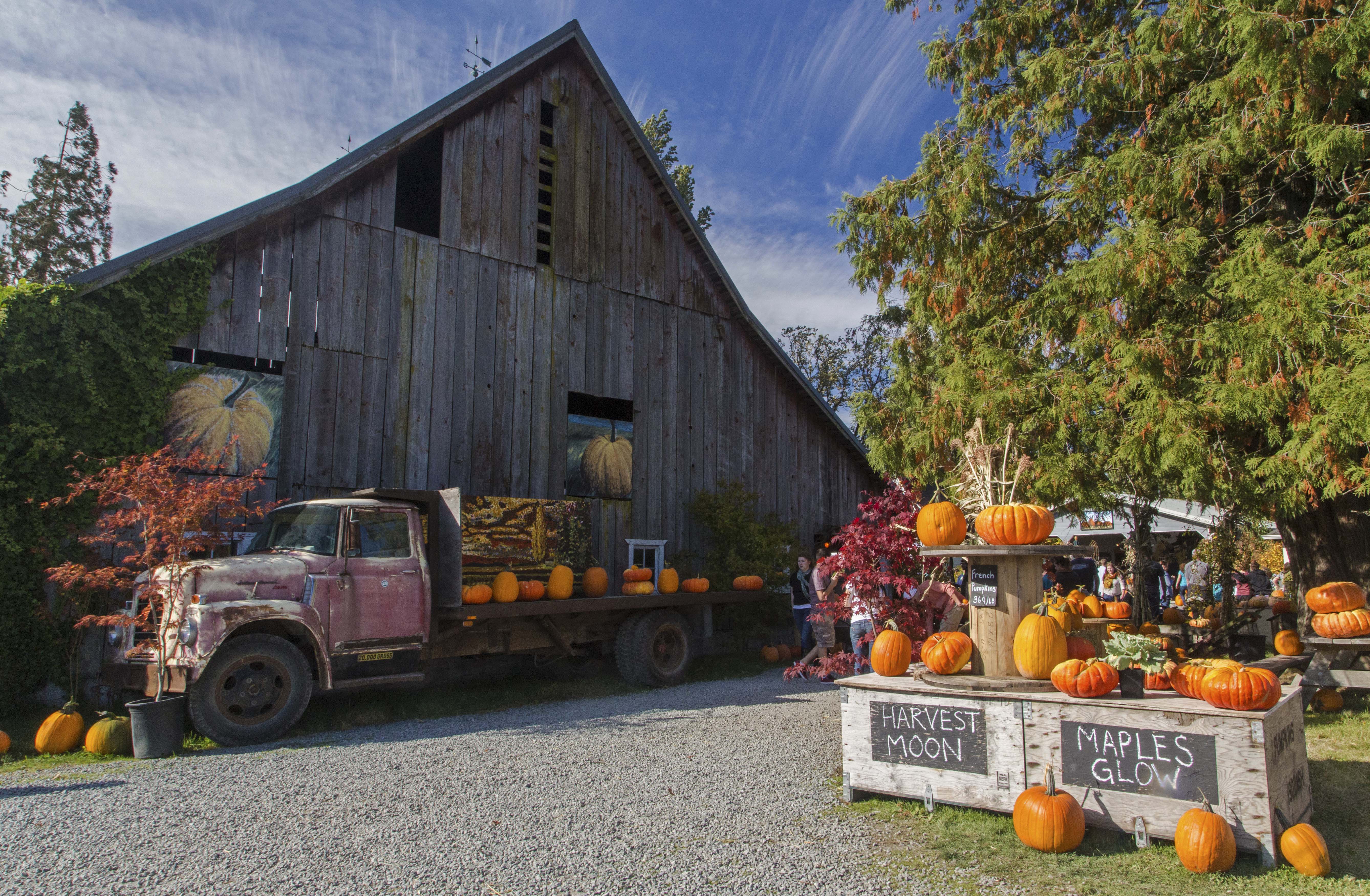
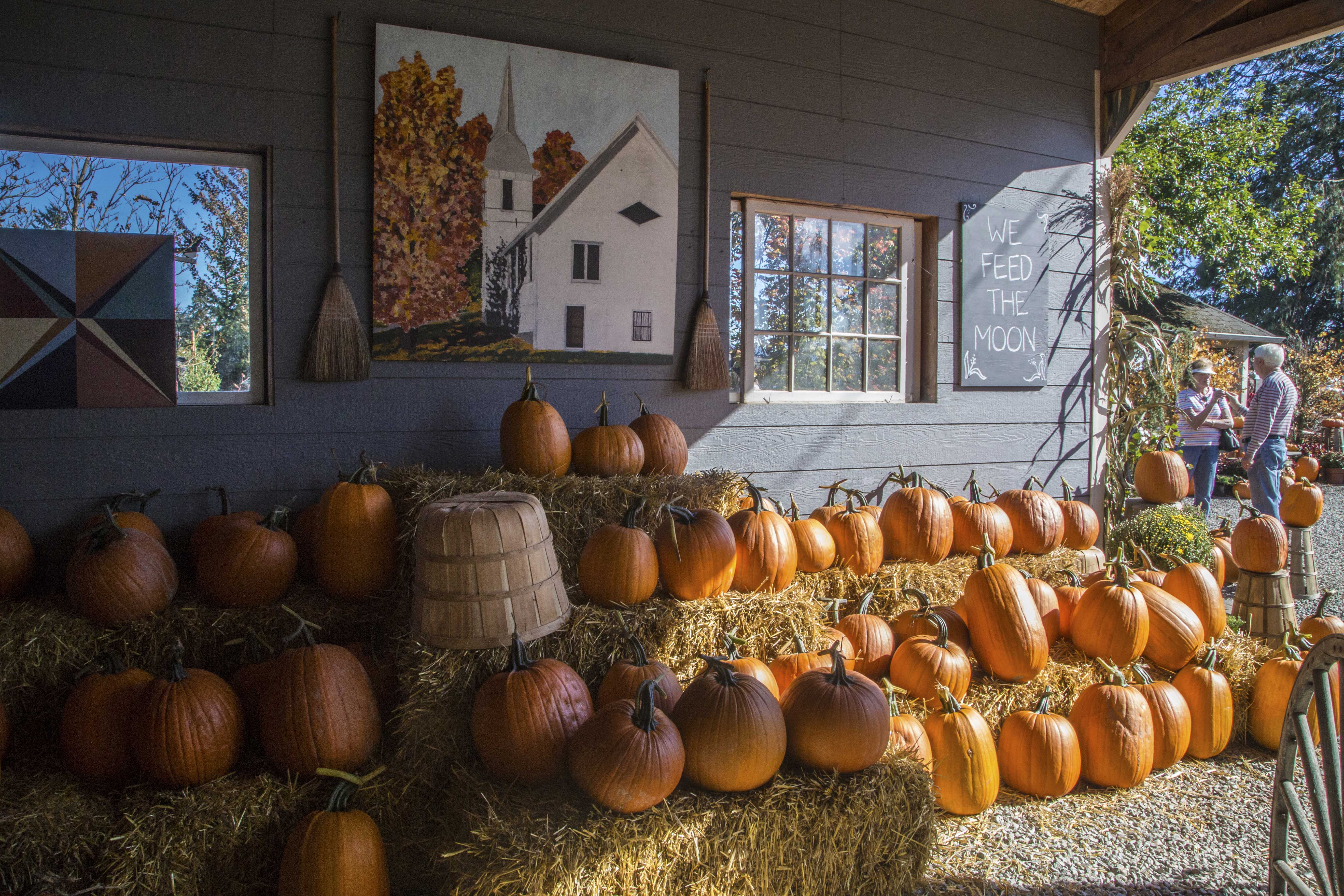
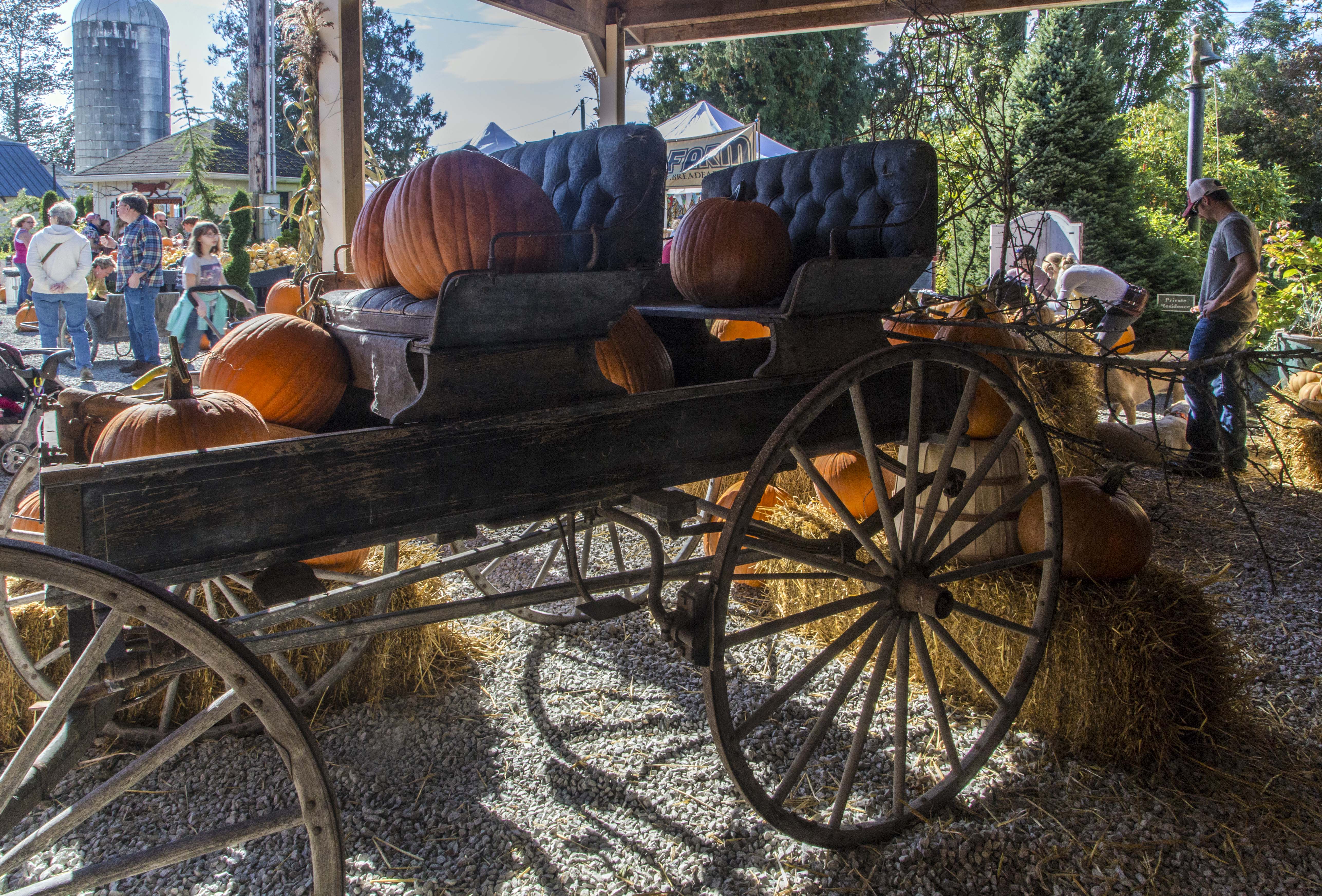
Pumpkins, kids, sunny skies, warm fall day…what could be better?
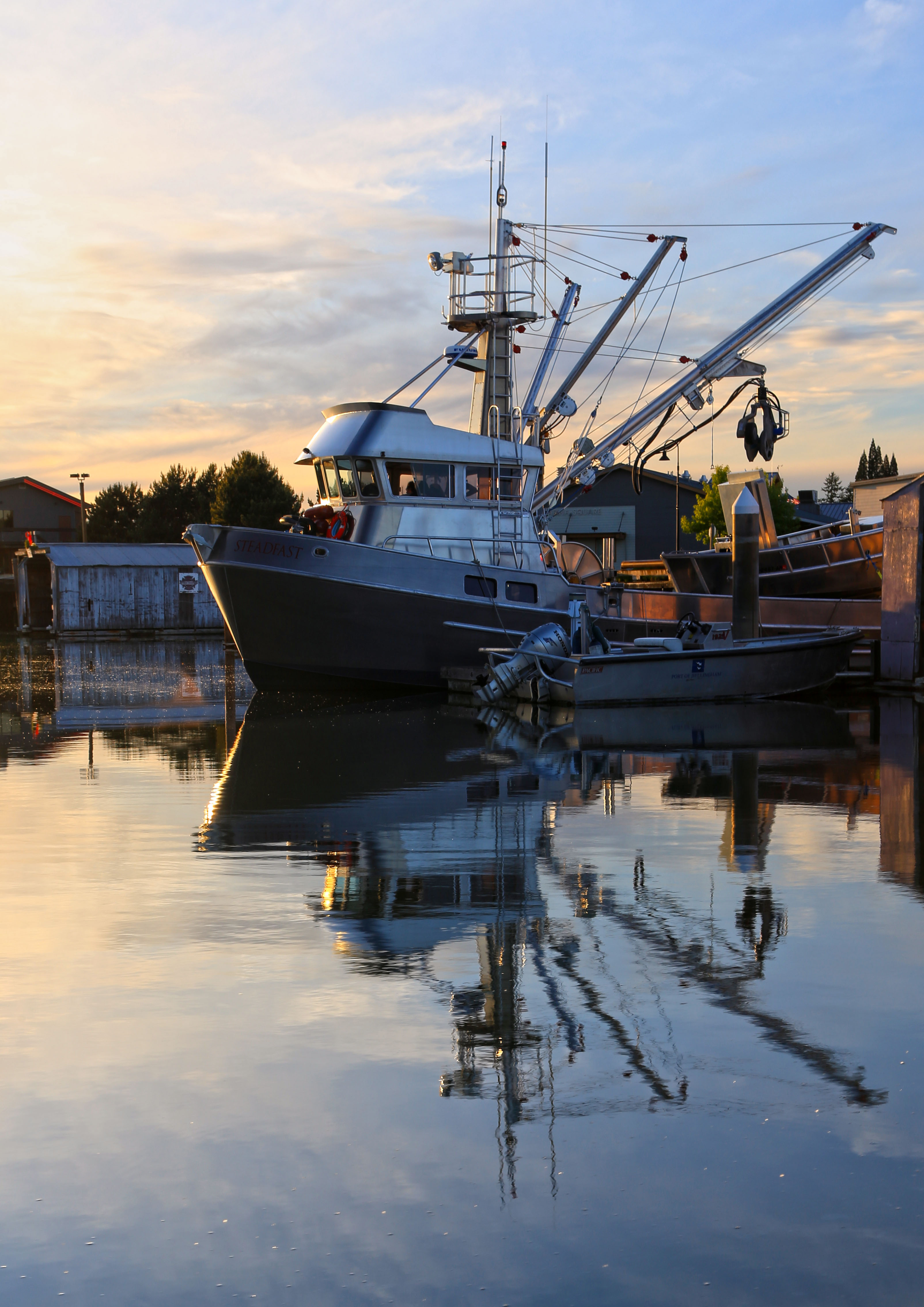
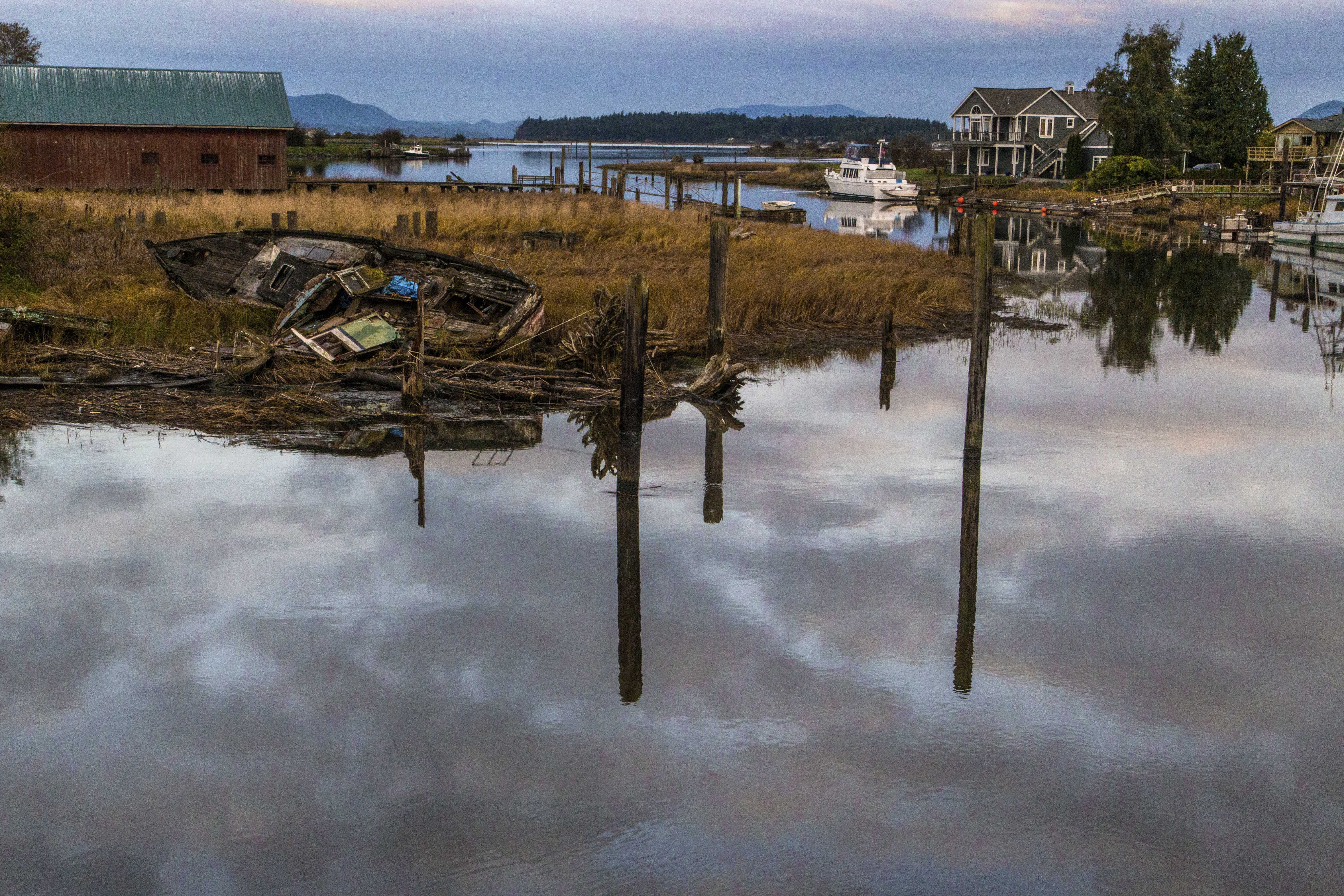
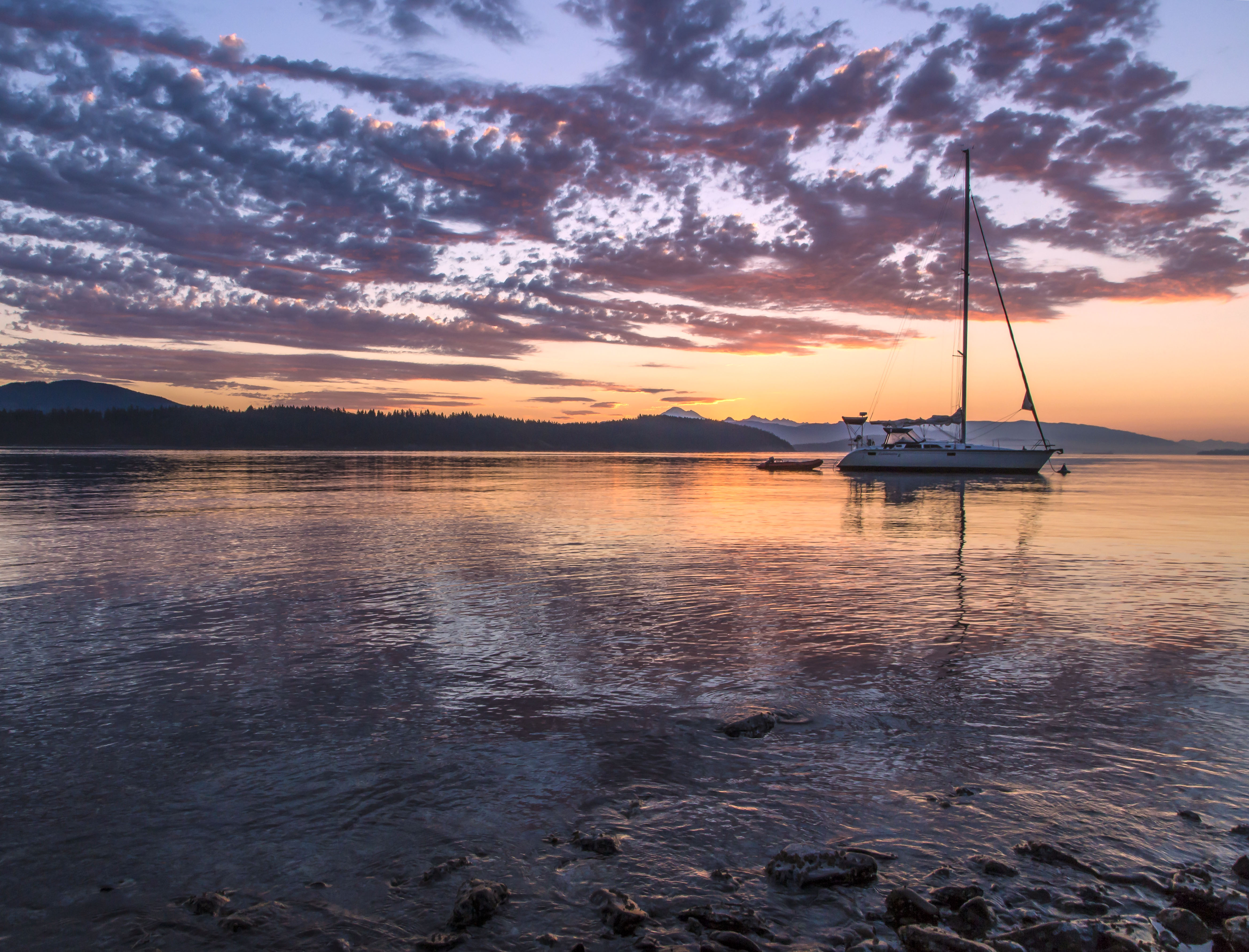
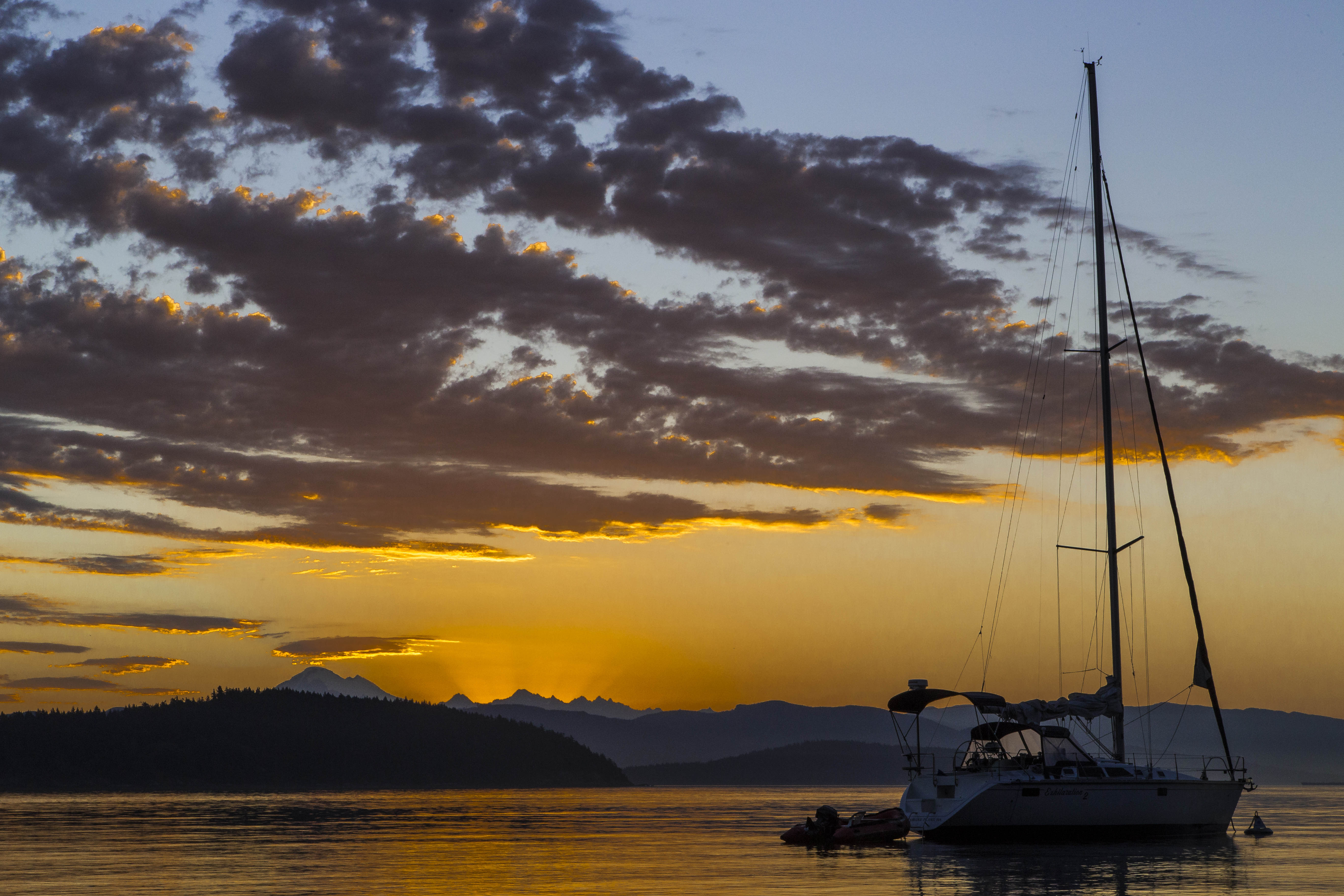
These boats are deserted, moored and docked along a small inlet from Samish Bay, part of Puget Sound in Skagit County, Washington. 


When I plan a backpacking trip and am working out where to camp each night my main consideration is “Where can I take the best pictures?” I think about the best views and which angle of light I want. And so my camp sites and hiking goals each day are based upon trying to be at the right place at the right time.
Capturing images of wildlife is not as easy to predict. Bear, goats, deer and marmots are all doin’ their own thing. One never knows when you’ll cross paths, so I simply hope for a magical moment and that my camera will be ready!
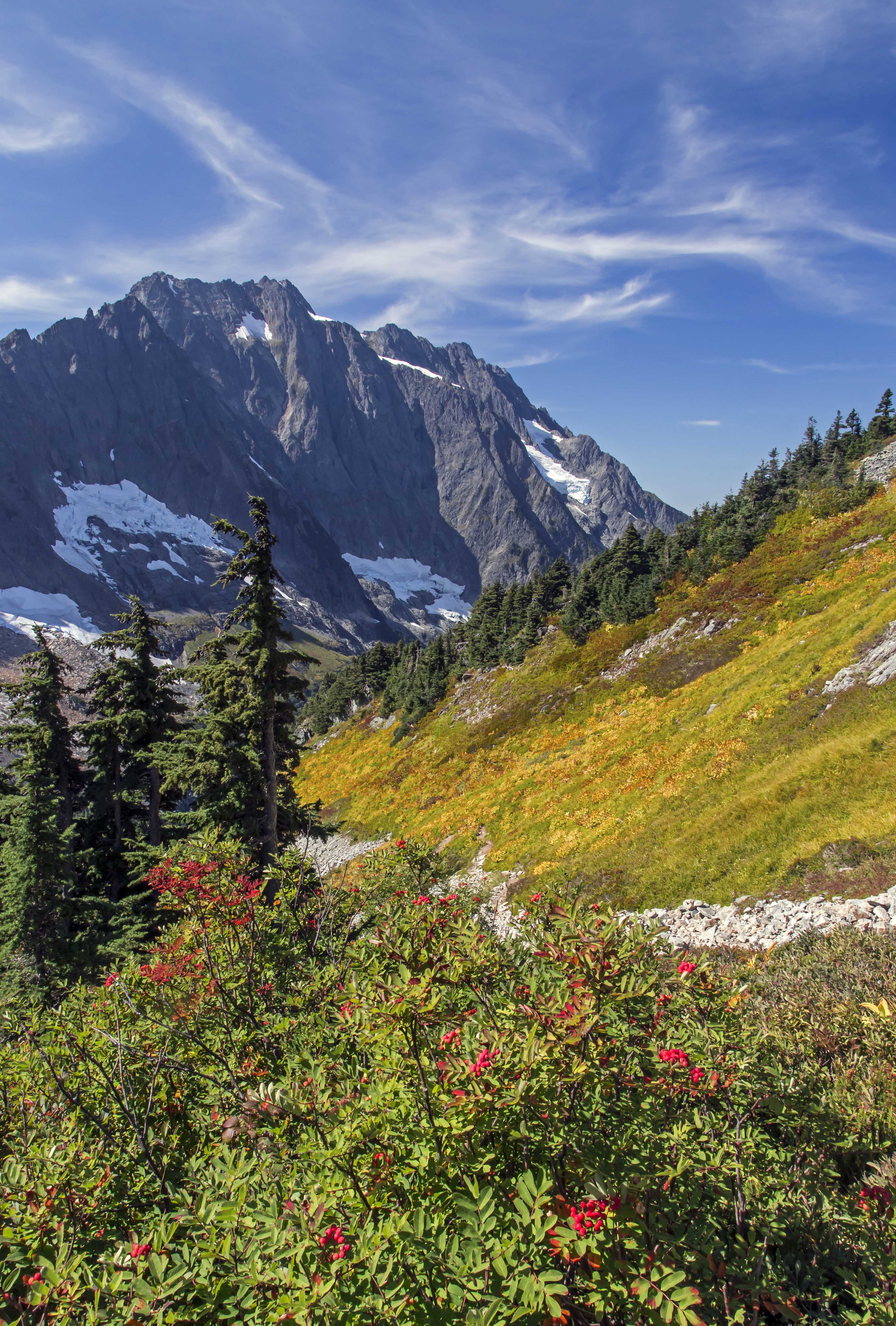
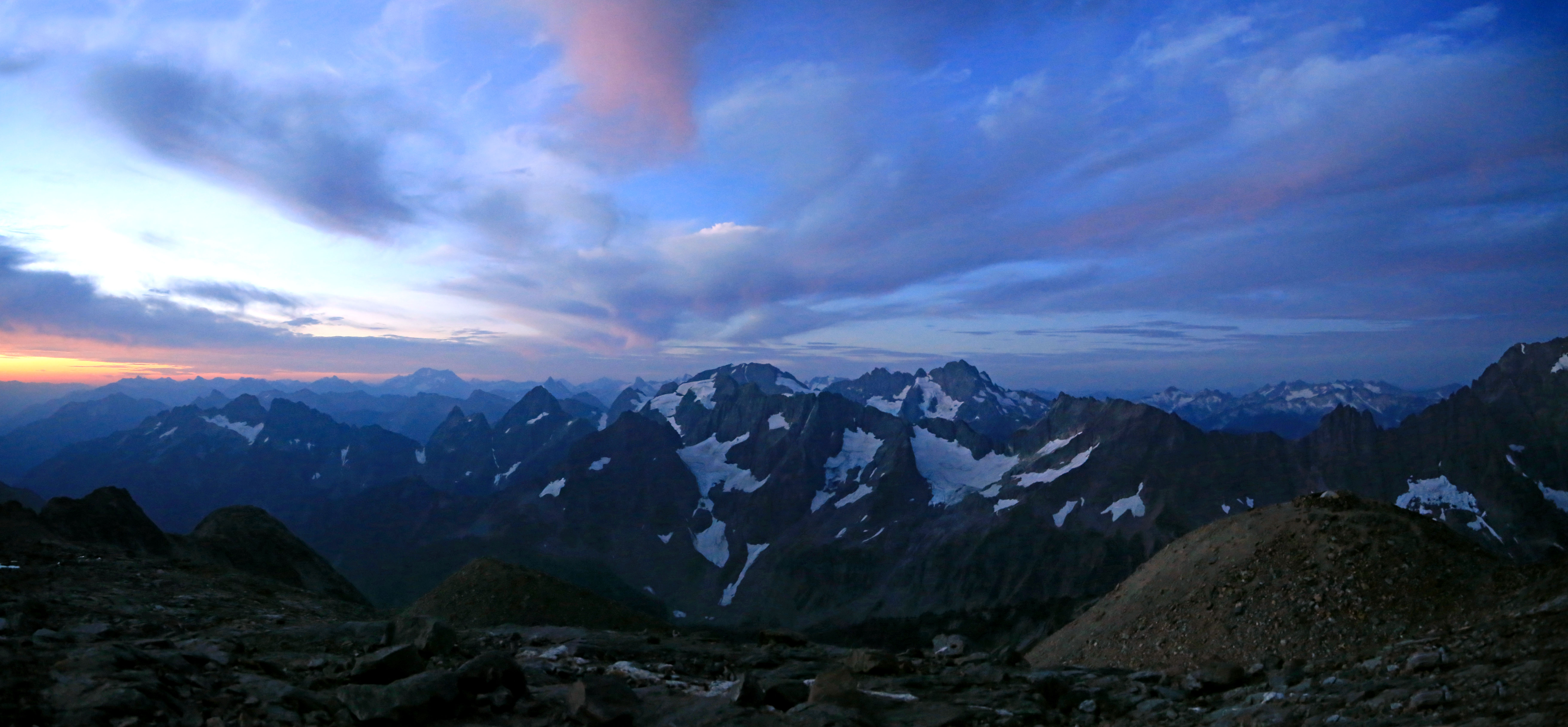
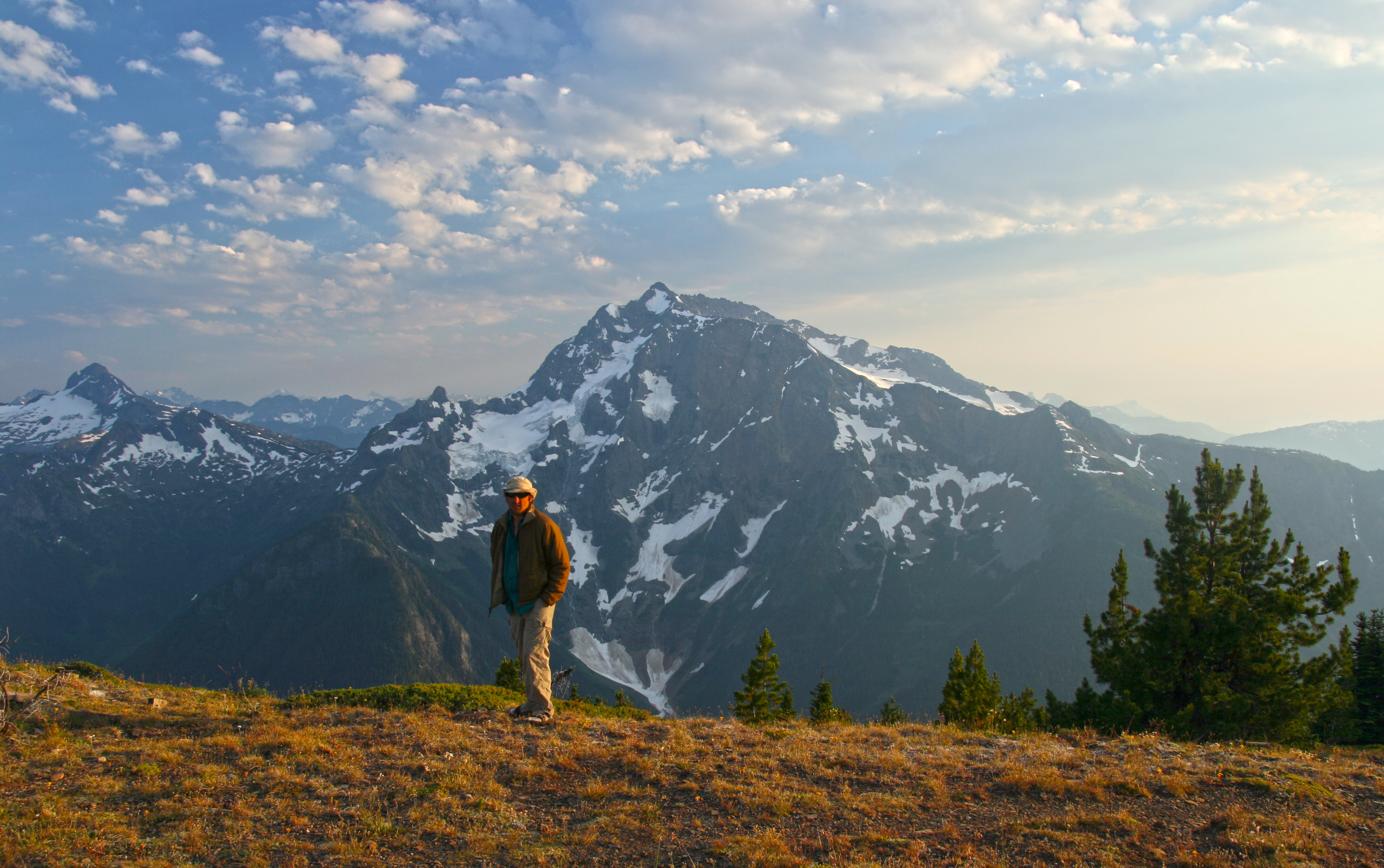
This summer I hiked the Copper Ridge – Whatcom Pass Loop, in North Cascades National Park. I planned camp sites atop Copper Ridge and Tapto Lakes. But the most magical part of the trip was my encounter with salmon spawning in Indian Creek at its confluence with the Chilliwack River.
The trek began at the Hannegan Pass trail head; we hiked up into the park and out along Copper Ridge. Silesia Camp, atop the ridge is unbelievably stunning.
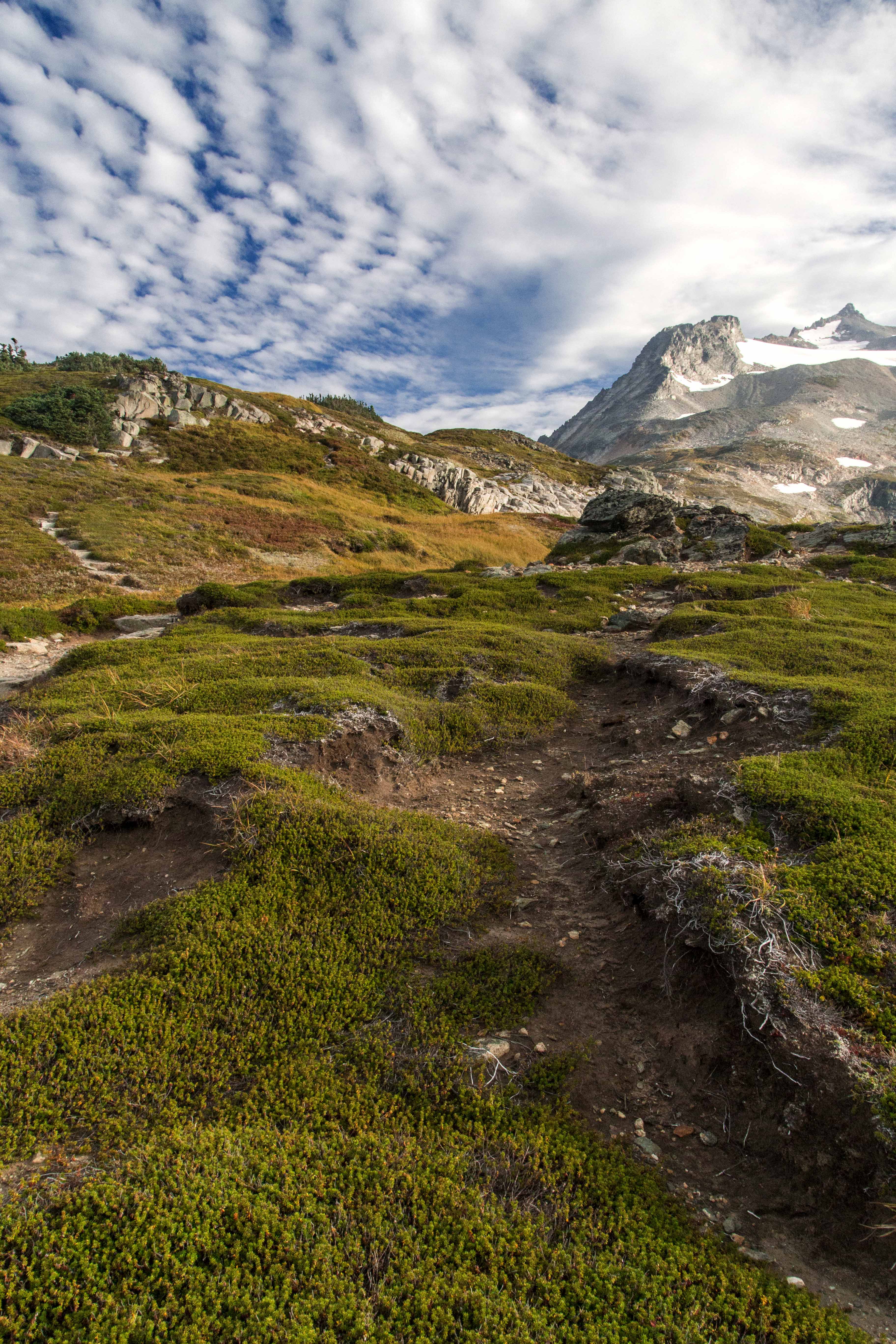
 Copper Ridge Sunset Panorama
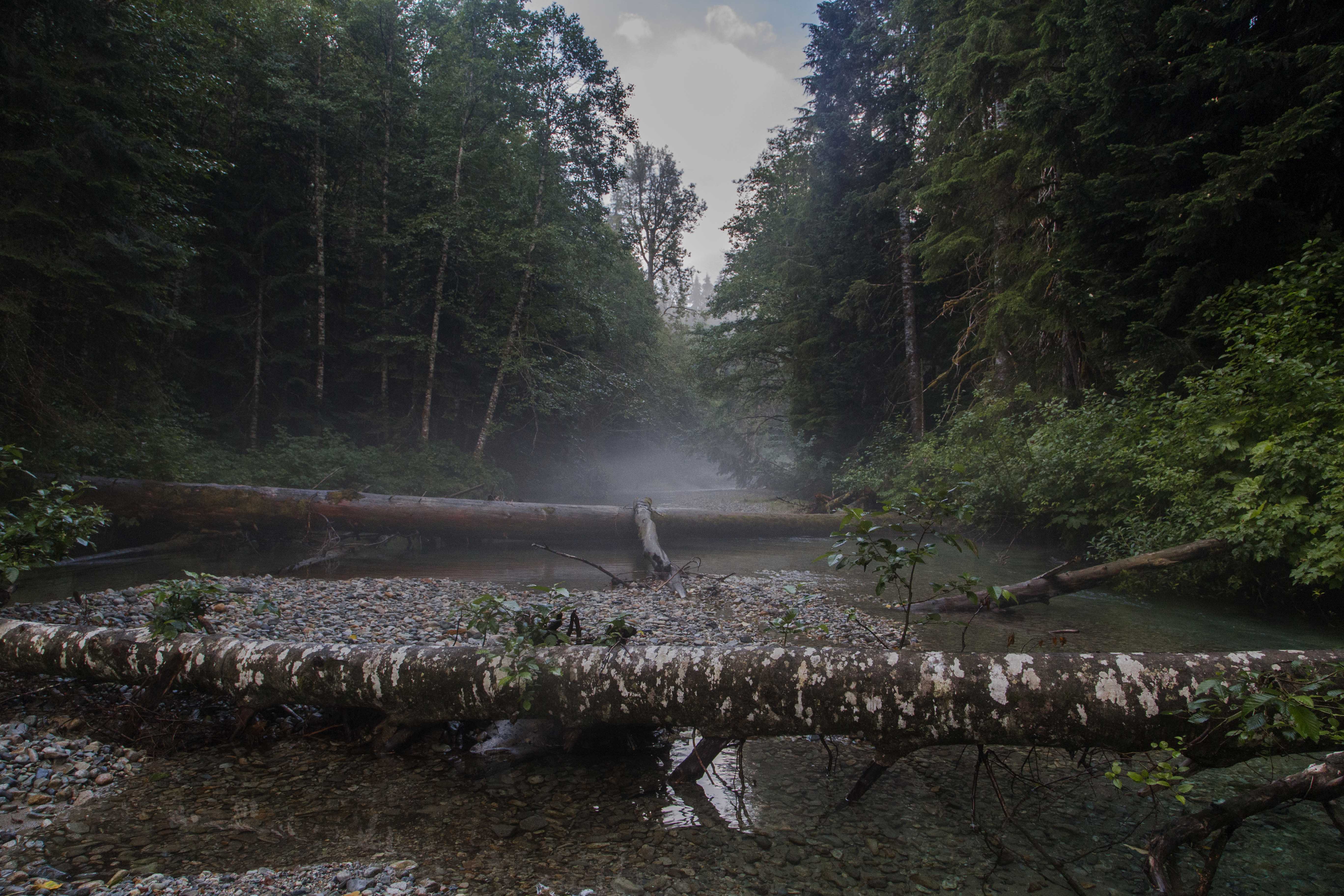
The long descent down to the ford of the Chilliwack River provides a wonderful opportunity to observe striking changes in flora. Pine forests slowly transform into rain forest as one nears the valley bottom. The forest is wet, humid, different…
Then come the two fords, first the Chilliwack. My sore aching feet welcome the cold fresh waters…then I hobble across a short section of wet forest and come to Indian Creek.
The creek was full of salmon, bright orange in color, hovering in the crystal clear water. Here Indian Creek is about 10 meters across, its banks enveloped with dark green. The sky is a narrowing strip curving away.

Looking up steam, back towards the North Cascades, Indian Creek is choked with fallen trees.
 Indian Creek
The river bed is here soft silt and there brightly colored stones, adding to the illusion of the salmon practicing a form of Jedi levitation.  Floating Fish
The view north, towards Canada is equally alluring, the confluence of the two streams creates an opening. The sky is now blue with dark clouds gathering.
 Confluence
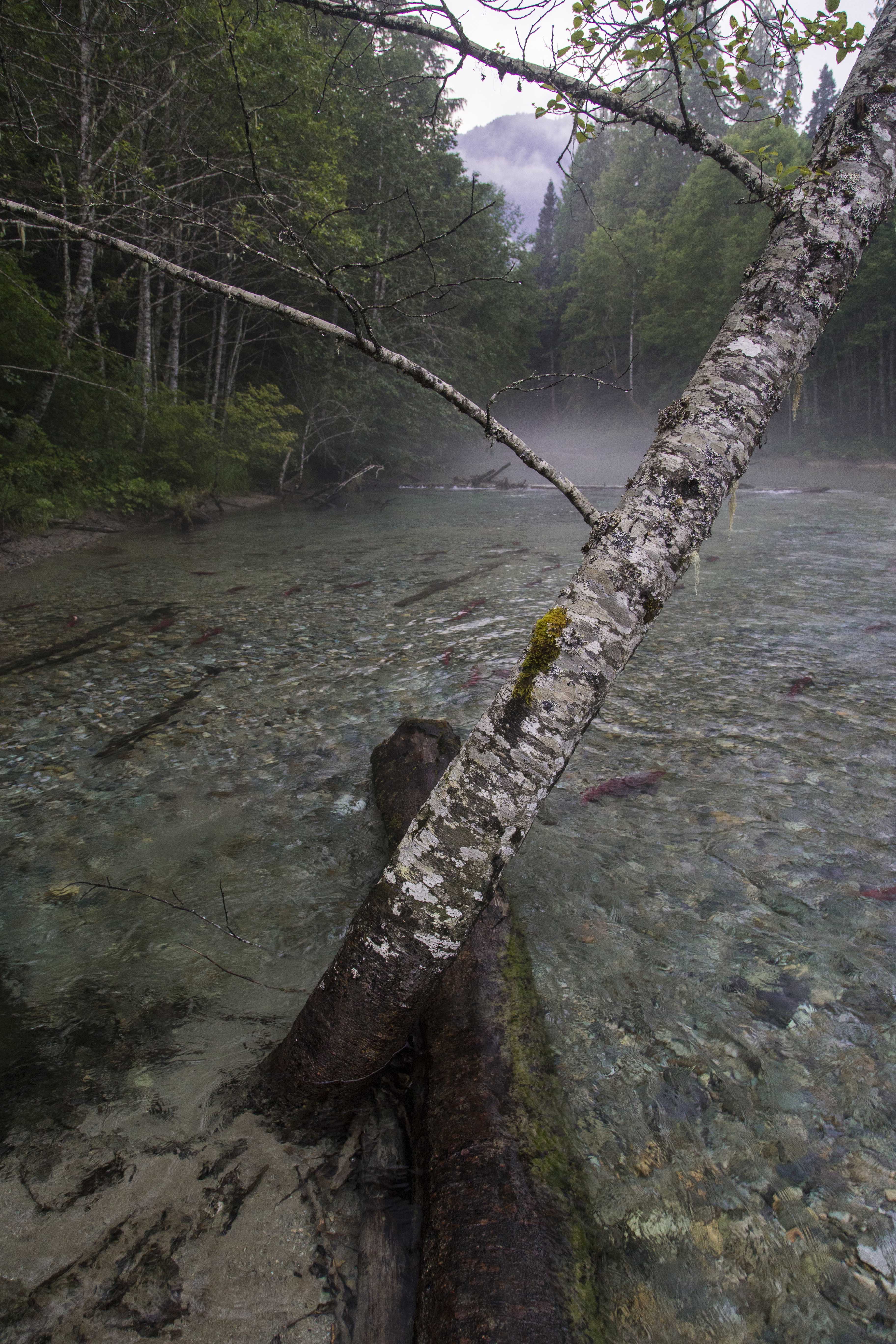
I feel like I have been transported to an entirely different point of the globe. Time seems to stand still. There is a fallen tree stretching out in the middle of the stream and I make my way there. A birch provides some support as I try to balance myself and marvel at the majesty of the fish. Some seem playful, darting here and there, others simply hangin’ out, languidly gliding in the waters.
 Vantage Point
As I wander around the banks I sense some motion up stream. Looking up I see a huge brown bear, maybe 800 lbs along the right side of the creek. I freeze, as does the bear. My racing heart slows after a few minutes, my thoughts reactively consider flight, then a millisecond later I am calculating how far the camera is and how brave I will be to approach such a huge bear.
The allure of photographing such a magnificent creature snacking on salmon easily wins the moment. Gathering the camera I start up stream towards the bear. My partner, seeing our visitor, lets out a scream, and off he goes, back into the forest.
I stand still for a while, reviewing the image of the bear in my mind…wow, what a fantastic place!
 Crystal Clear
The night brings horrific storms, heavy rain, incessant thunder and lightening envelope our tiny tent. But here in this deep gash of a valley we are protected. With all the noise I wonder if our giant furry friend will come visit us, maybe hungry for some of our food, but I realize that he is likely very well fed and so not interested.
The early morning fog lies thick across the water. We linger for some gap in time. The crisp, fresh air and cold clear water sharpen my senses. I am quite happy to be alive!  Misty Morning
Every year the first weeks of August bring the salmon back to Indian Creek. Maybe next year I’ll see you there…
 Salmon swimming Indian Creek
Every year I make the trip from my home in Sedro-Woolley up to Sahale Glacier Camp. And every time I go I am astounded at the wonder of the place…

The road up offered this scene, we almost careened off the Cascade River Road so I could stop for this shot.

Cascade Pass is always a busy place, where lots of day-hikers, backpackers and climbers pause…


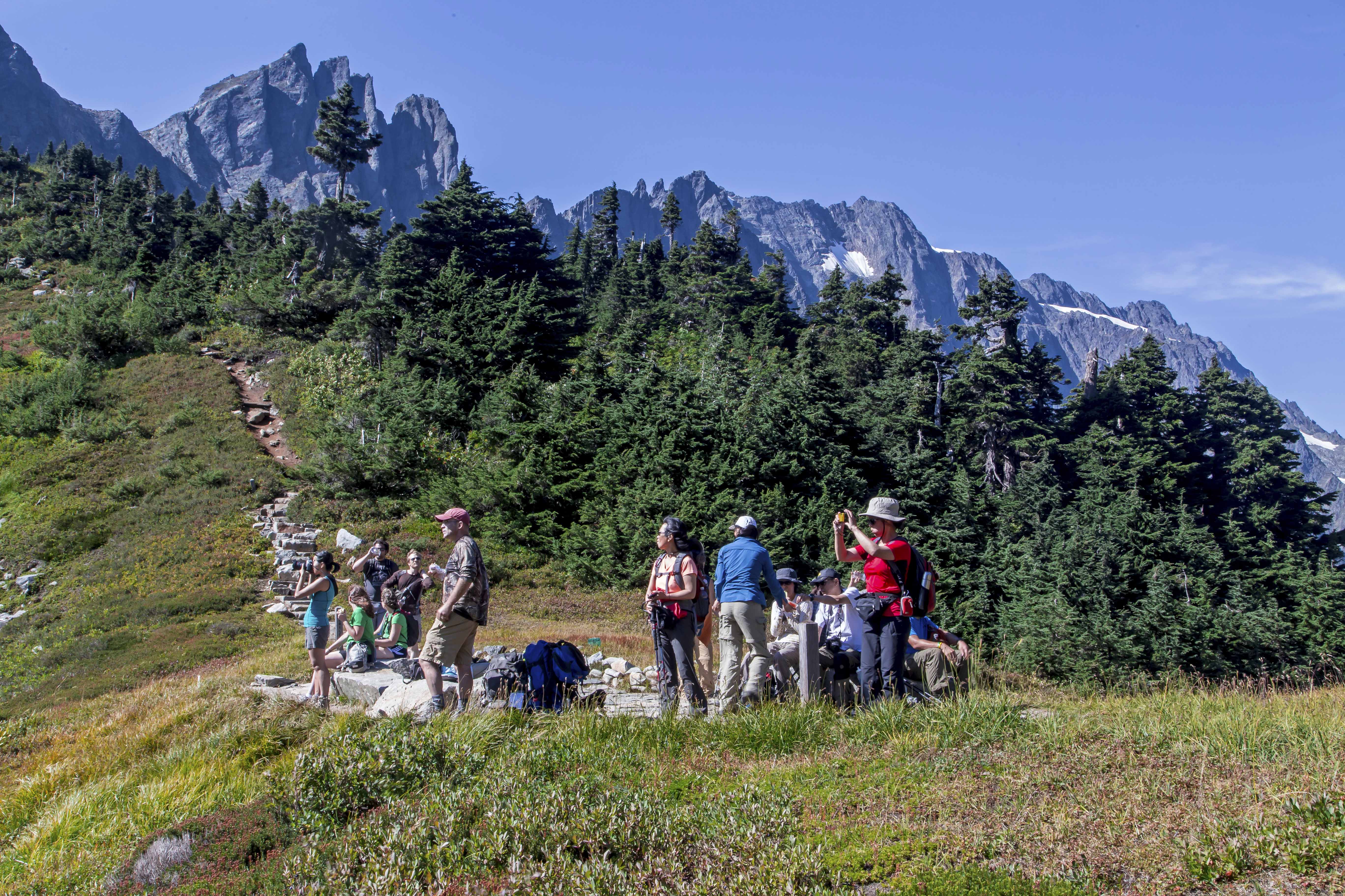
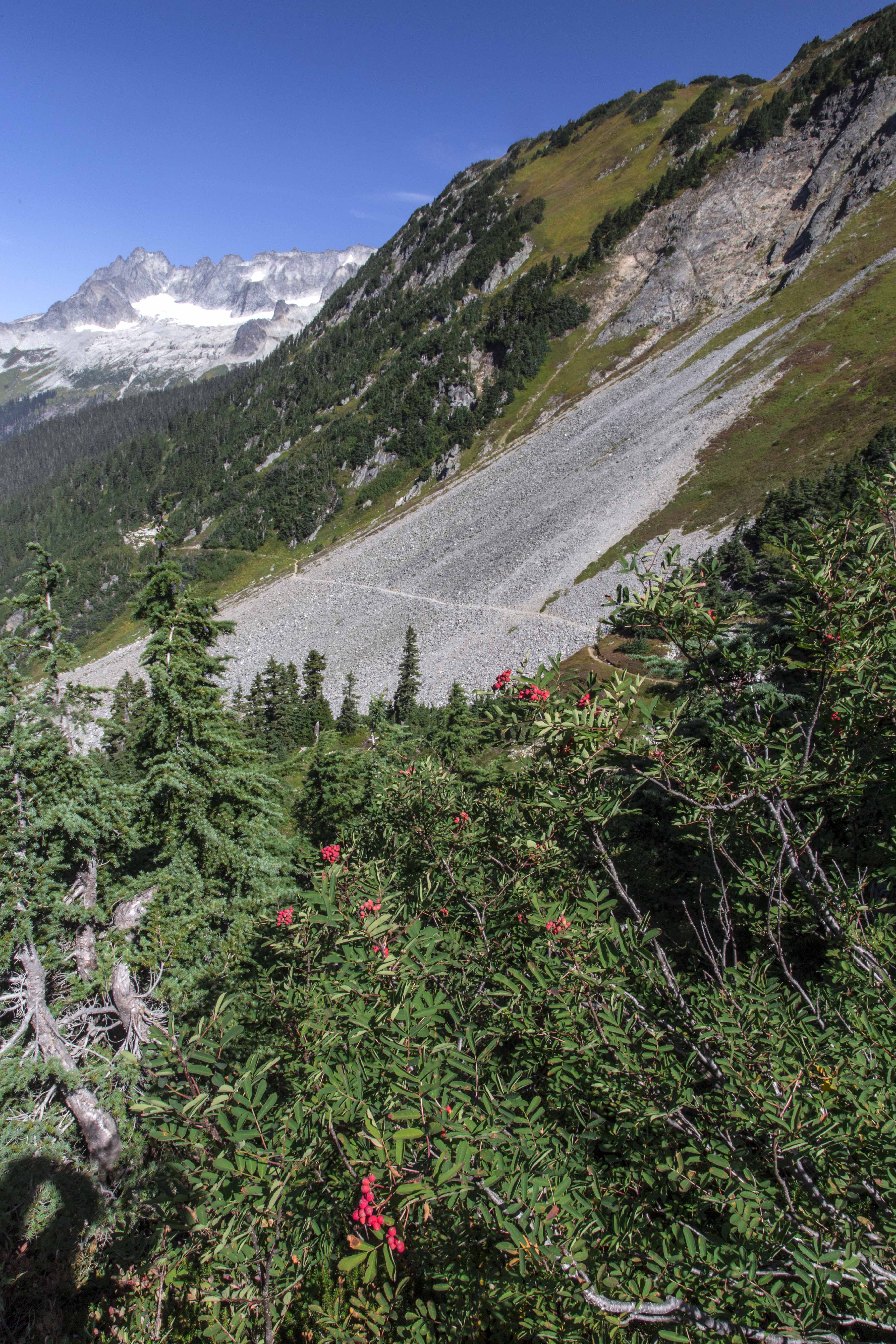

The trail up to the Sahale Camp from Cascade Pass is just stunning…

I met a group of hikers from Seattle who let me take their picture!


Each camp spot is surrounded with turret-like stone walls, there is no bad site, all are perfect.

The sunset was superb.
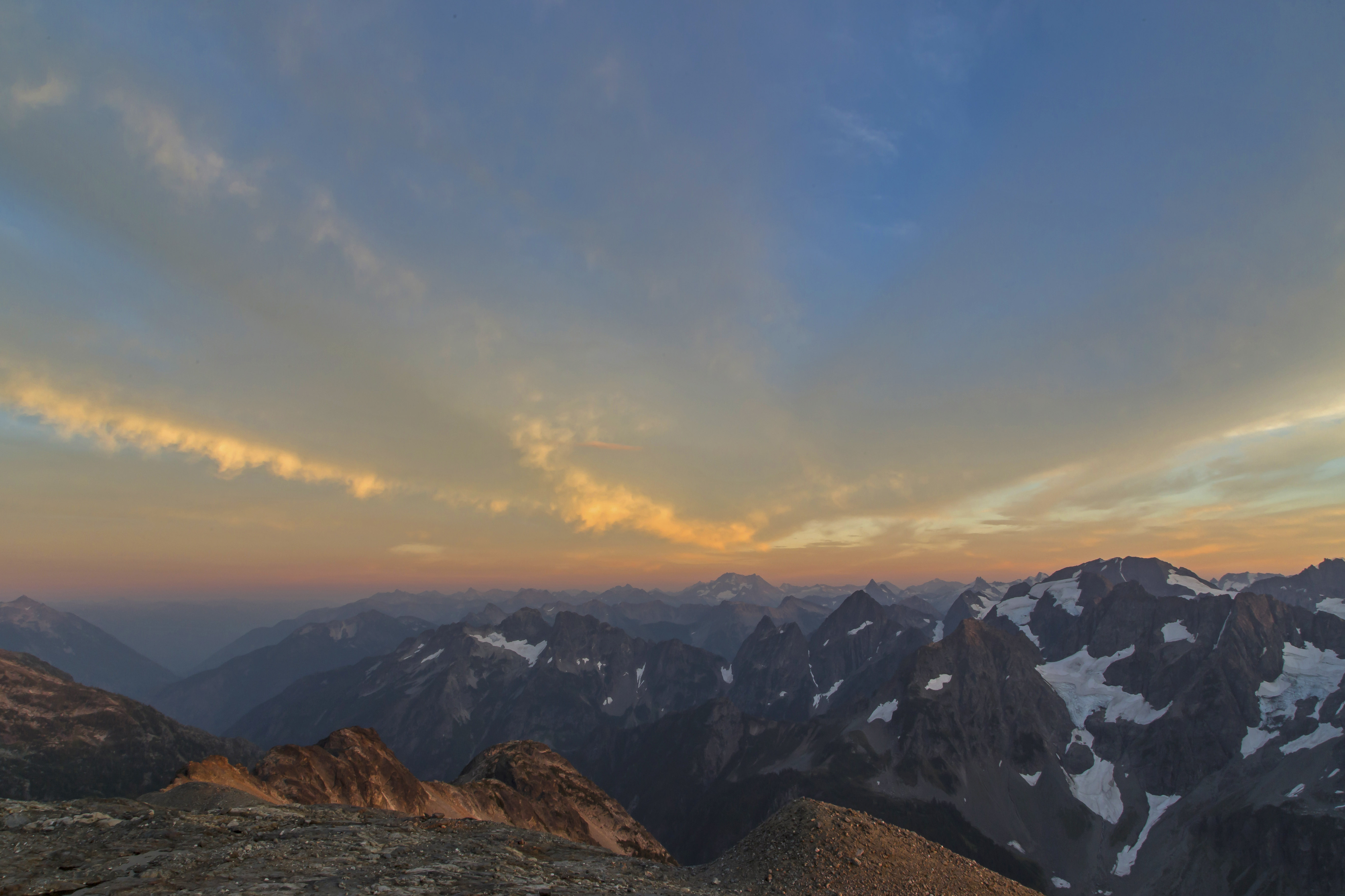


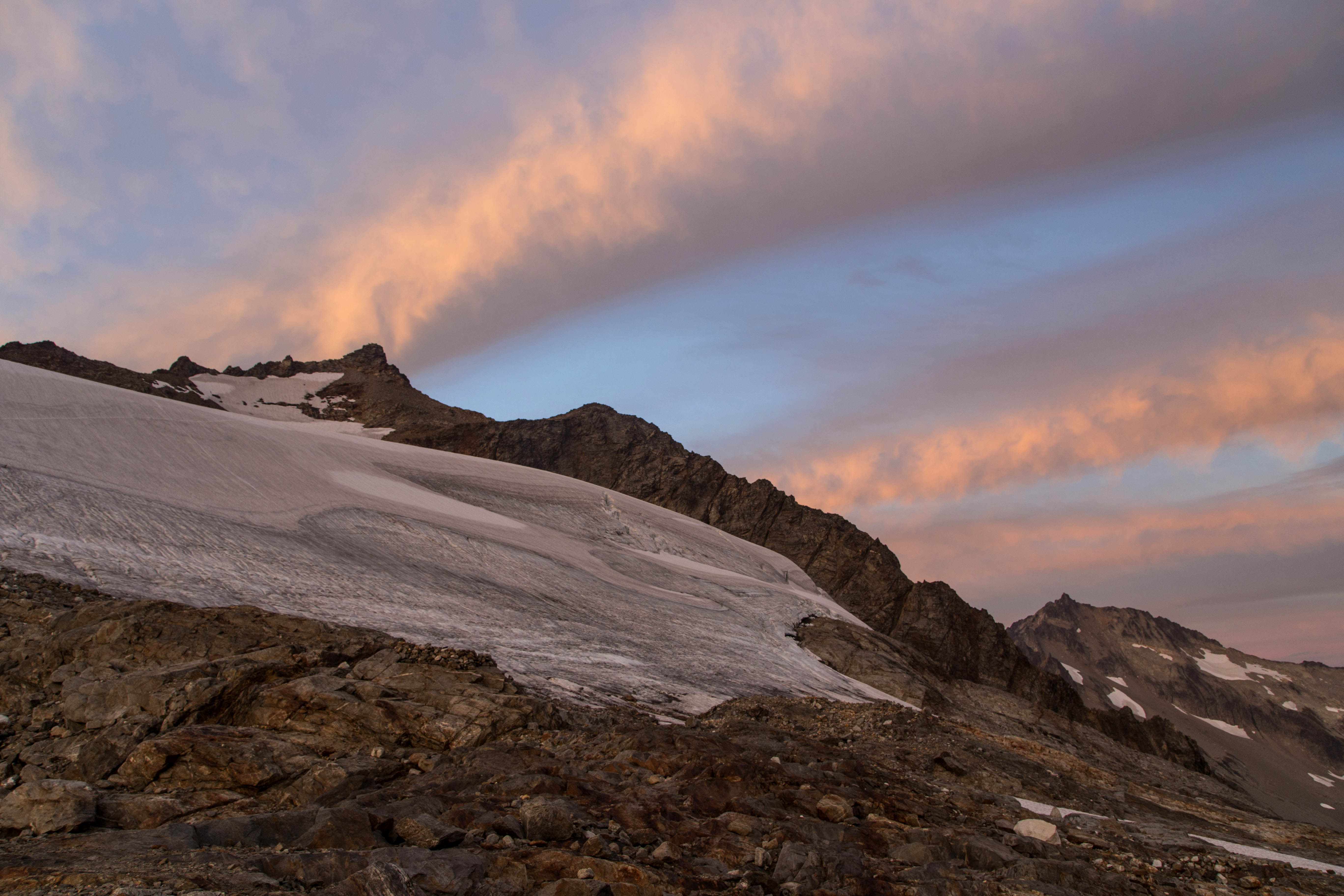
The night was mostly cloudy, but the morning was picture perfect!


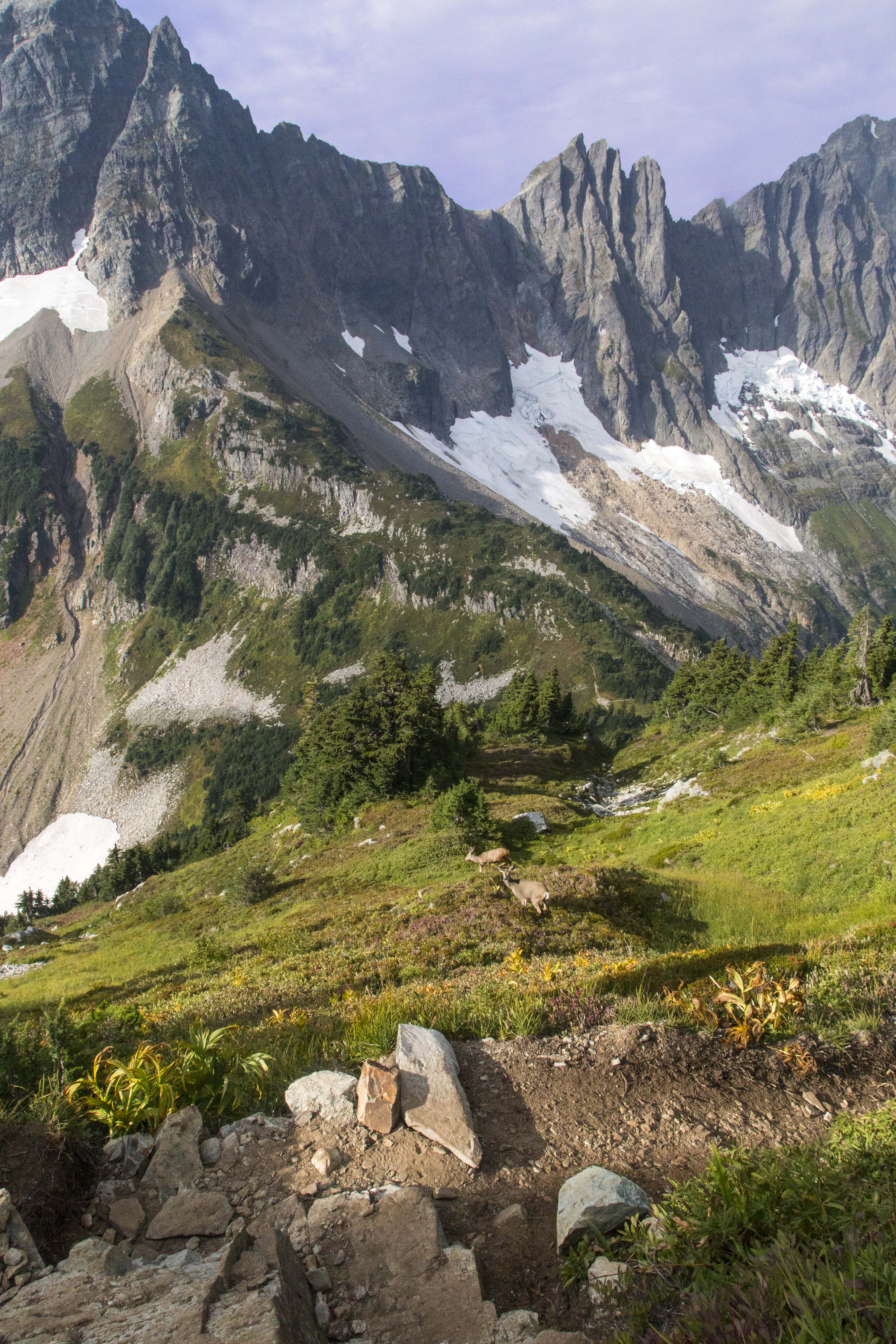
We encountered several black-tail deer on the way back down.
I can’t wait to return!
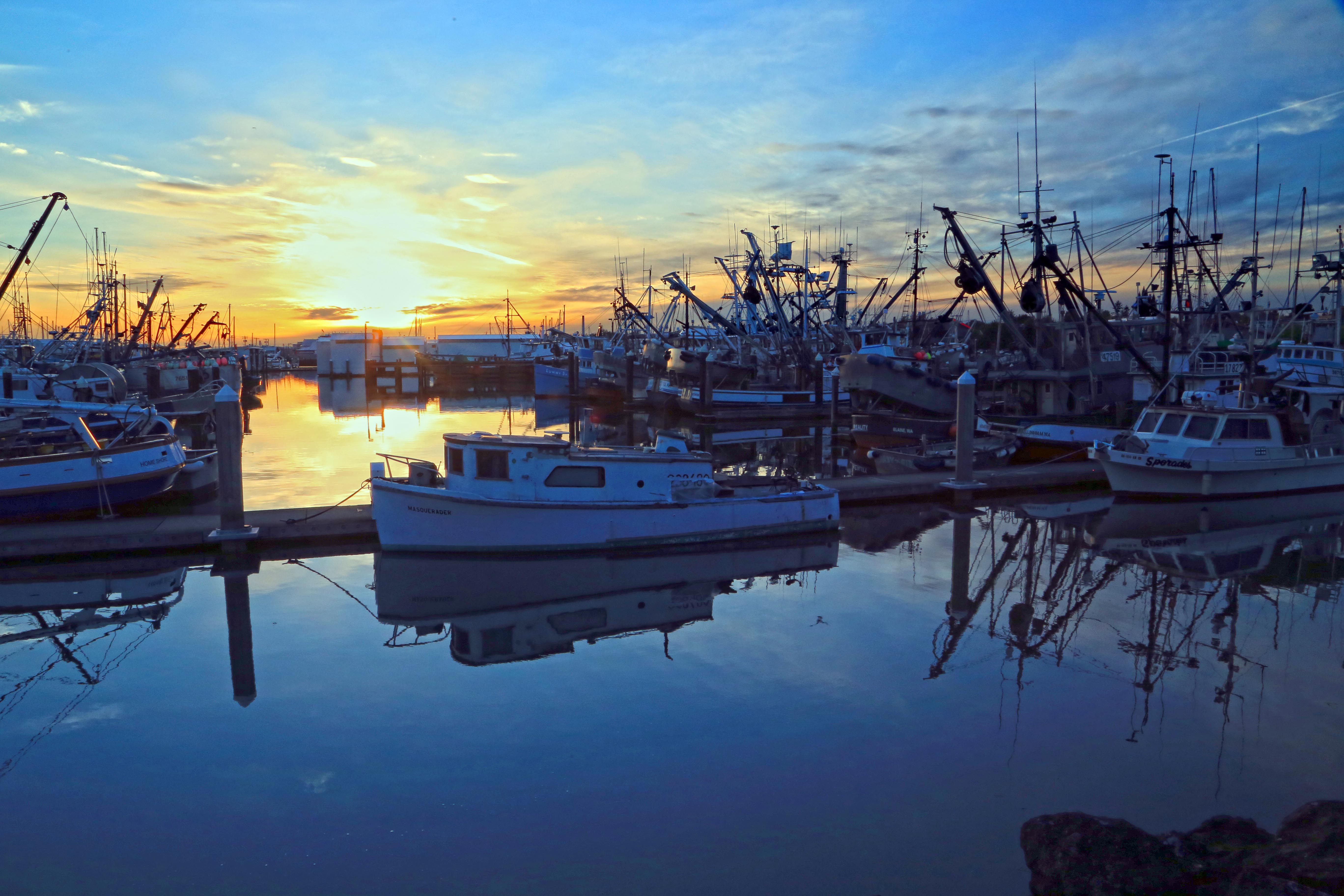
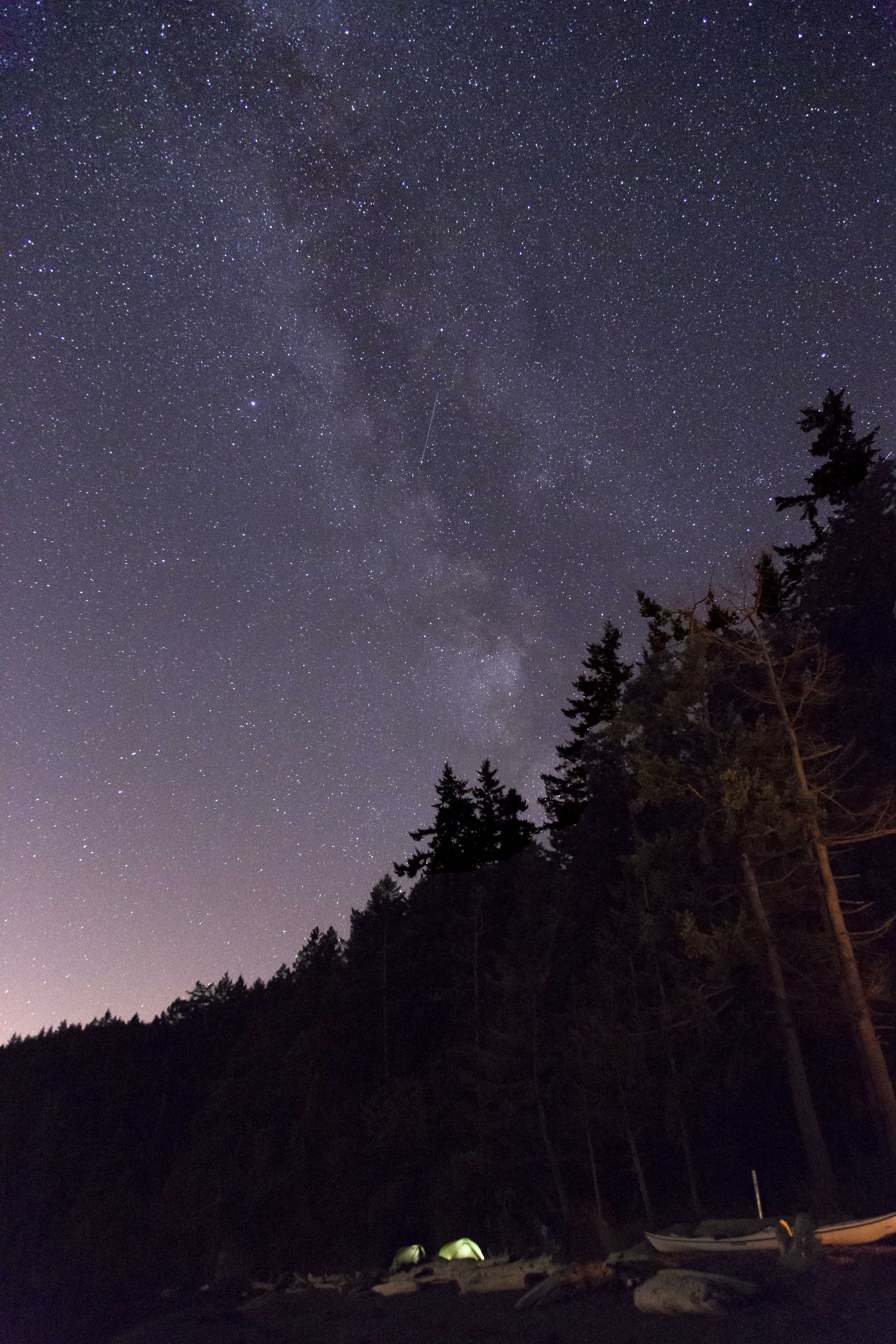
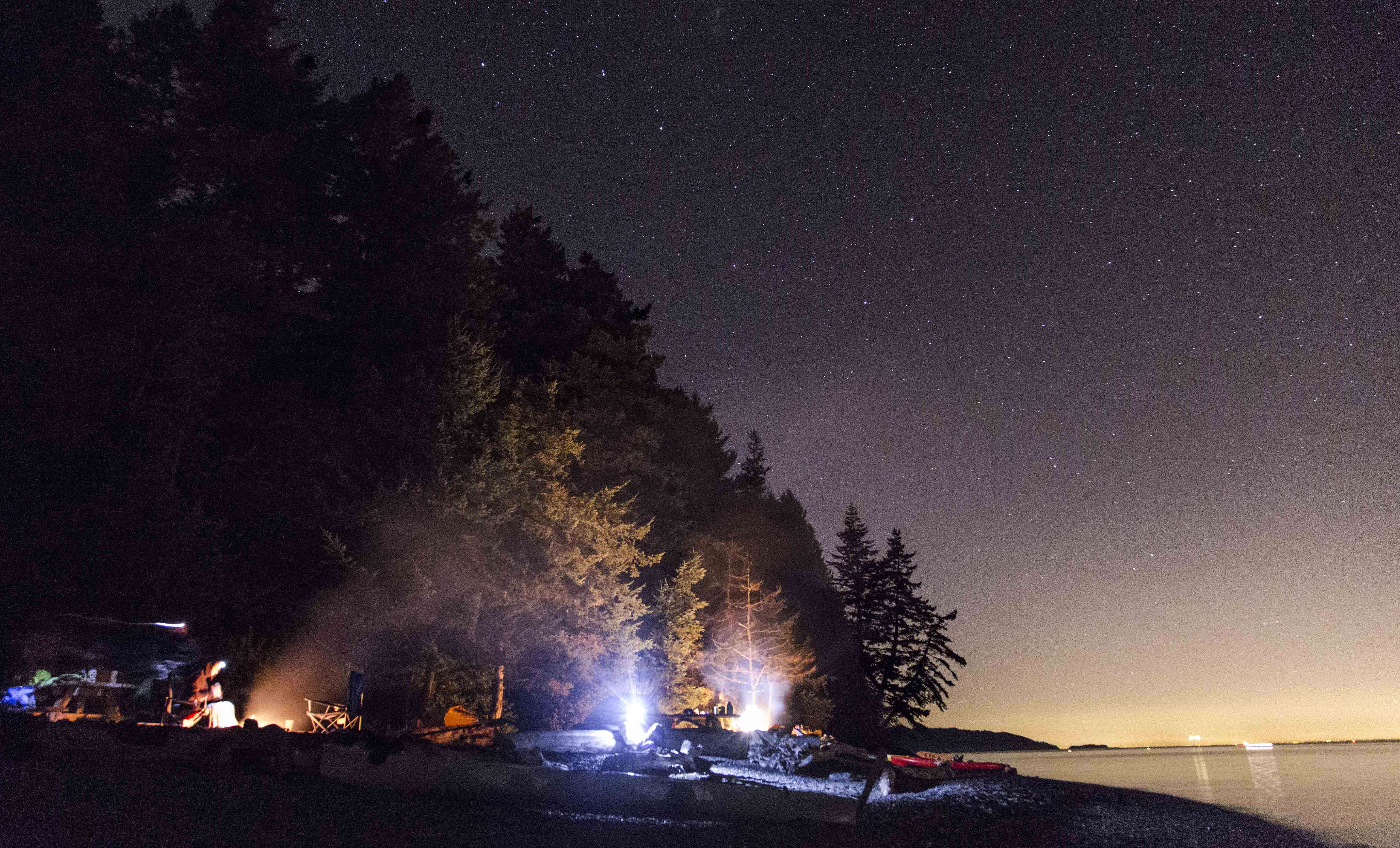
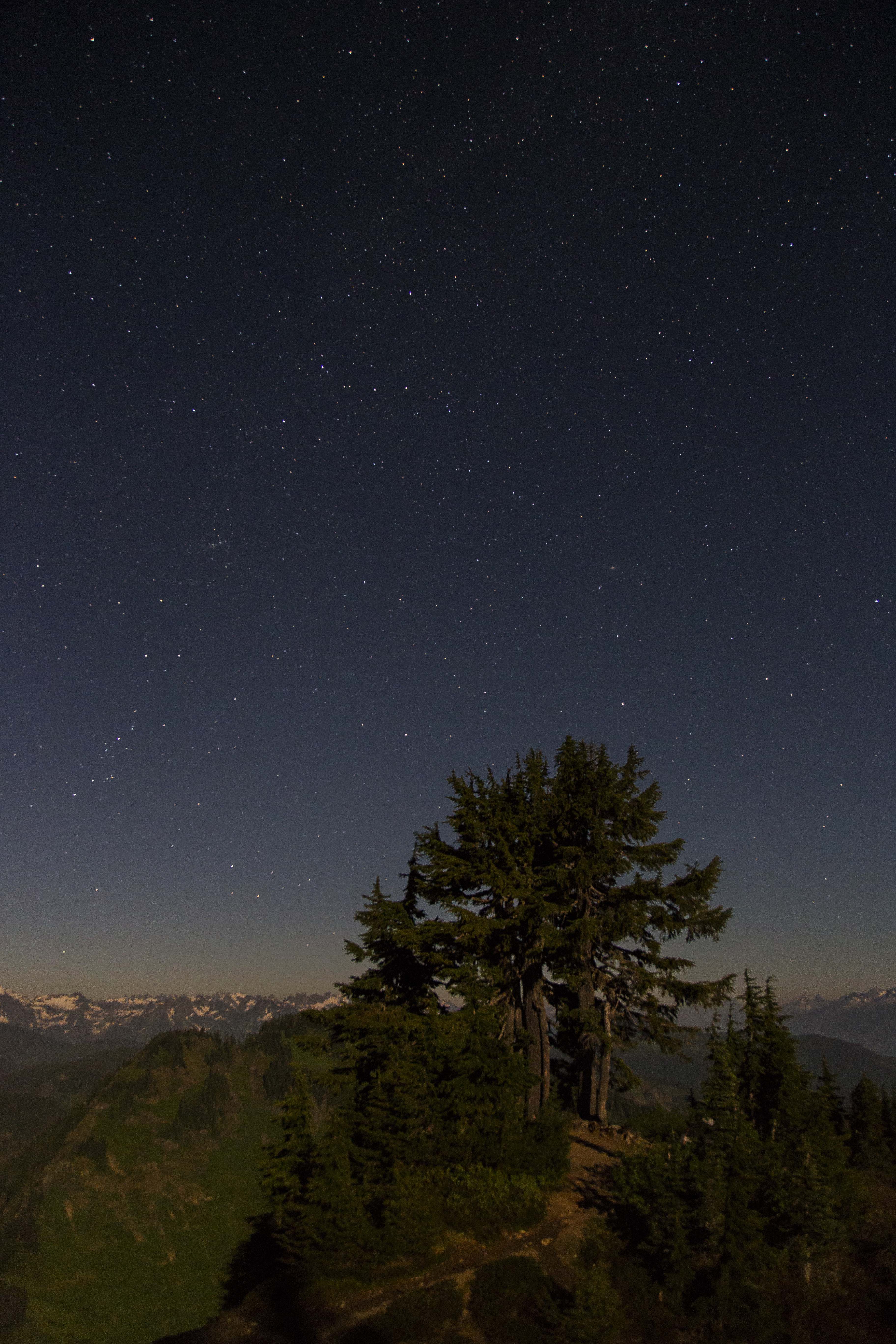
Visited Cypress Island this weekend. Took a few shots of the sun, moon and stars. Oh, and water and a few boats, too.


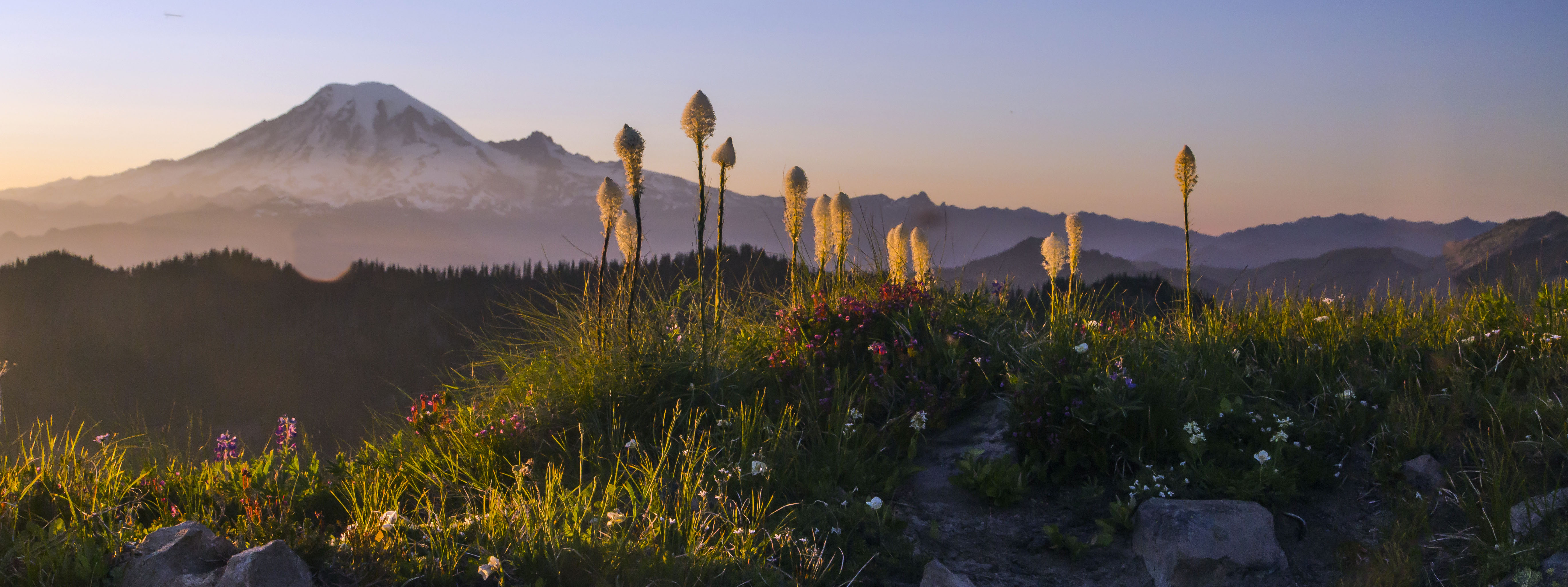
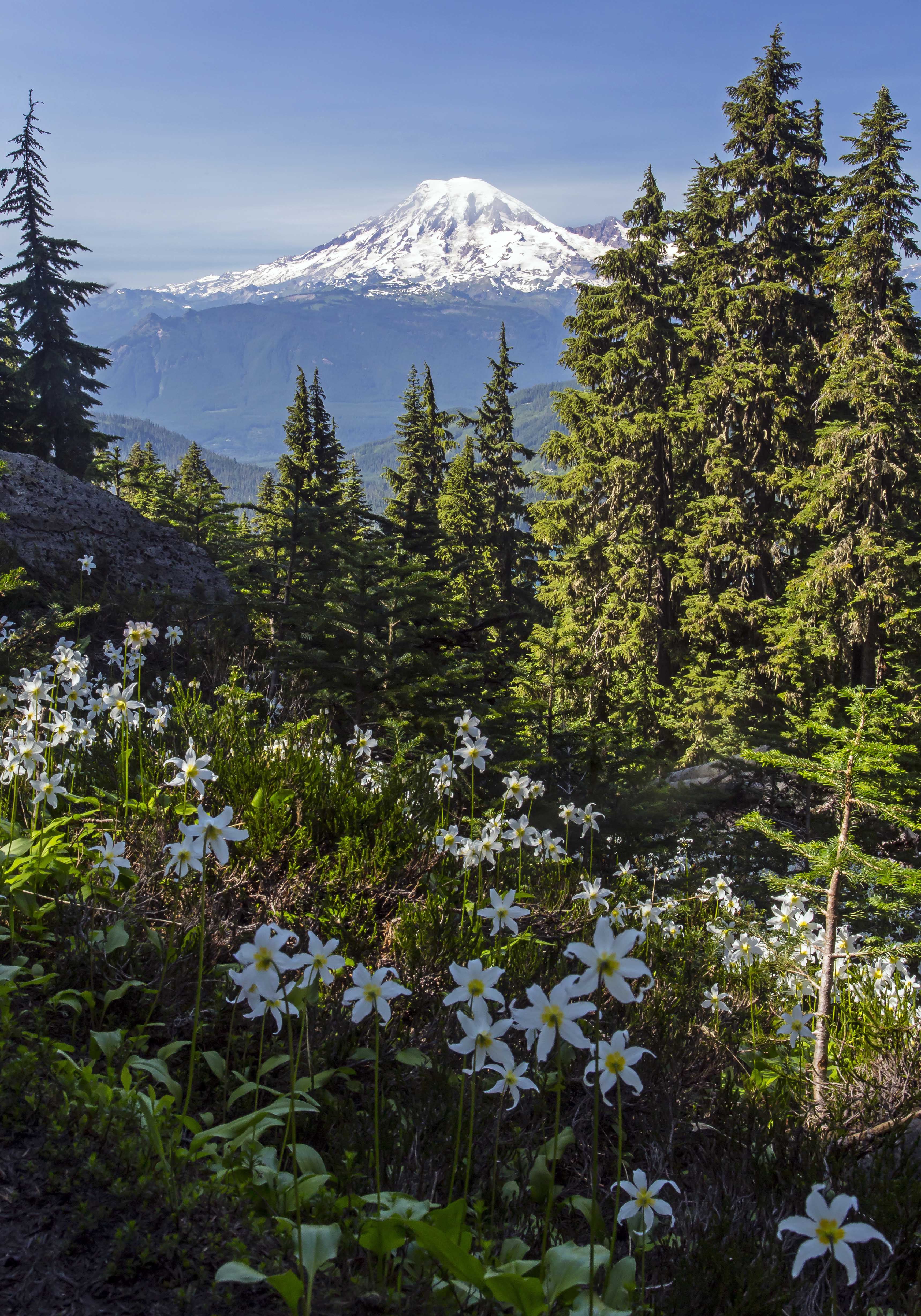
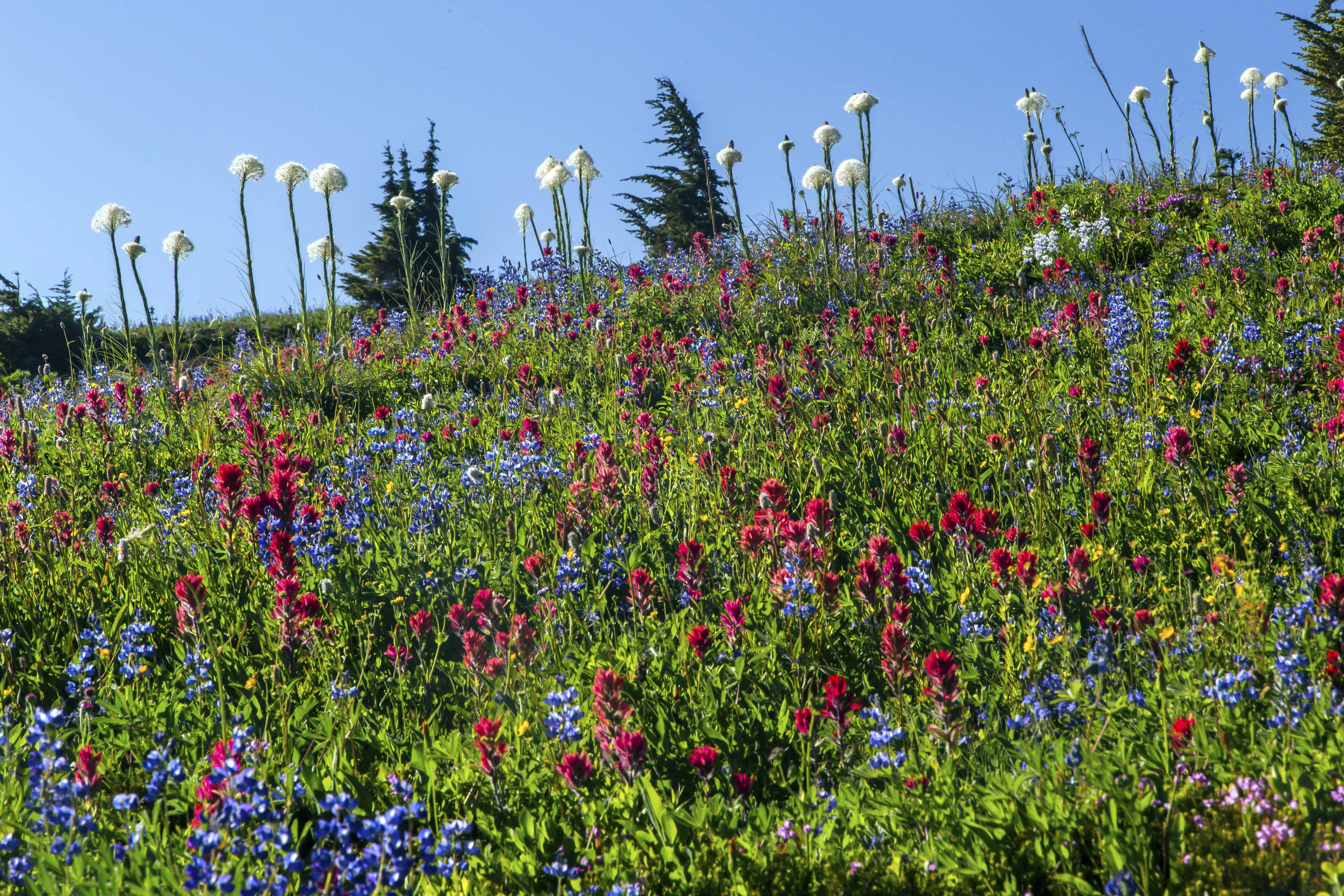
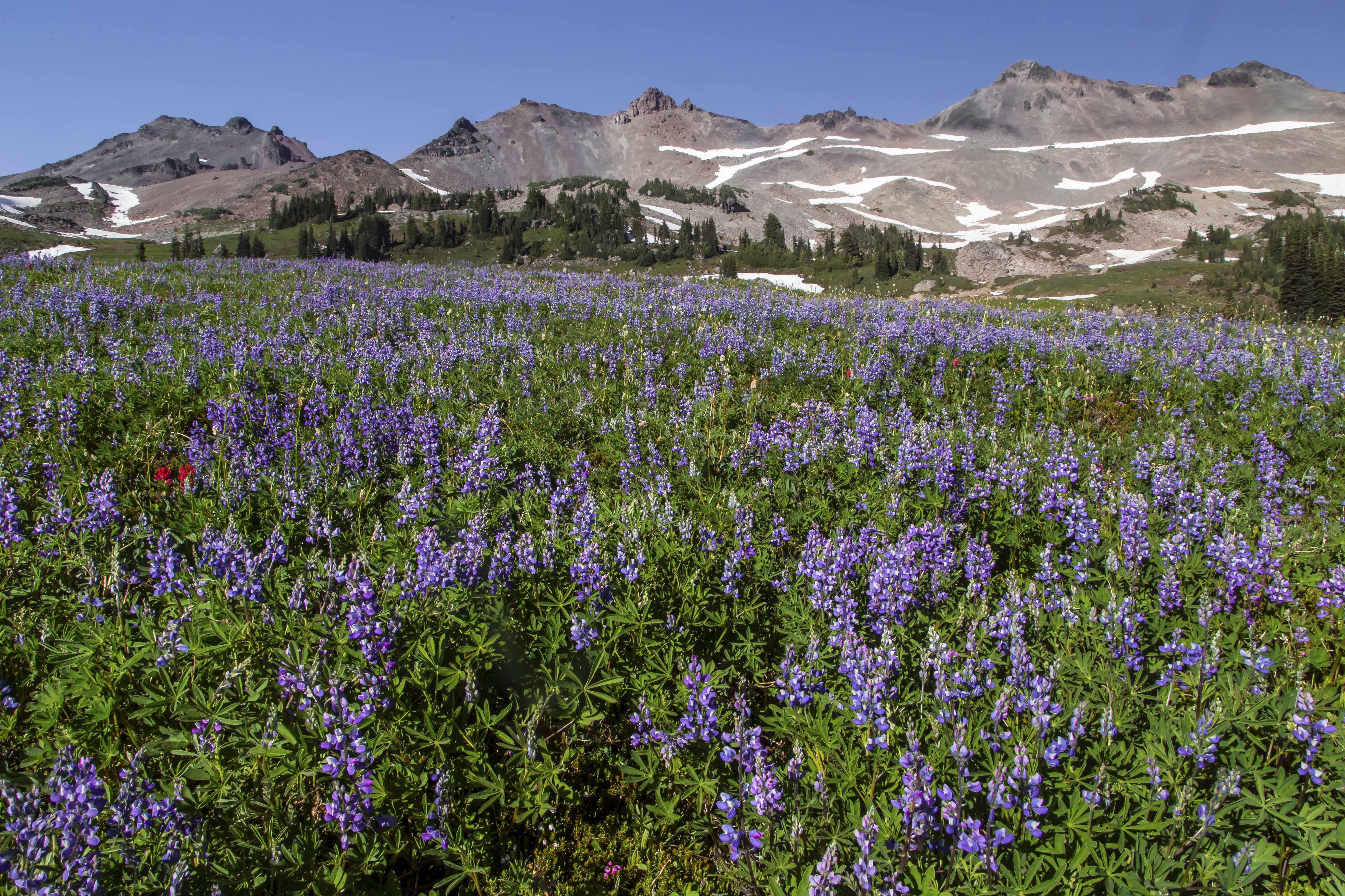
The Goat Rocks Wilderness is located in South-Central Washington along the spine of the Cascades Mountains. The Goat Rocks are the remains of a volcano, their jagged peaks jutting above the forest. With Mount Adams to the south and Mount Rainier to the north, the views are always awesome!
July brings snow melt and wildflowers. The wilderness is easy to access, camp sites abound and no permits are needed! Here are a few pictures!


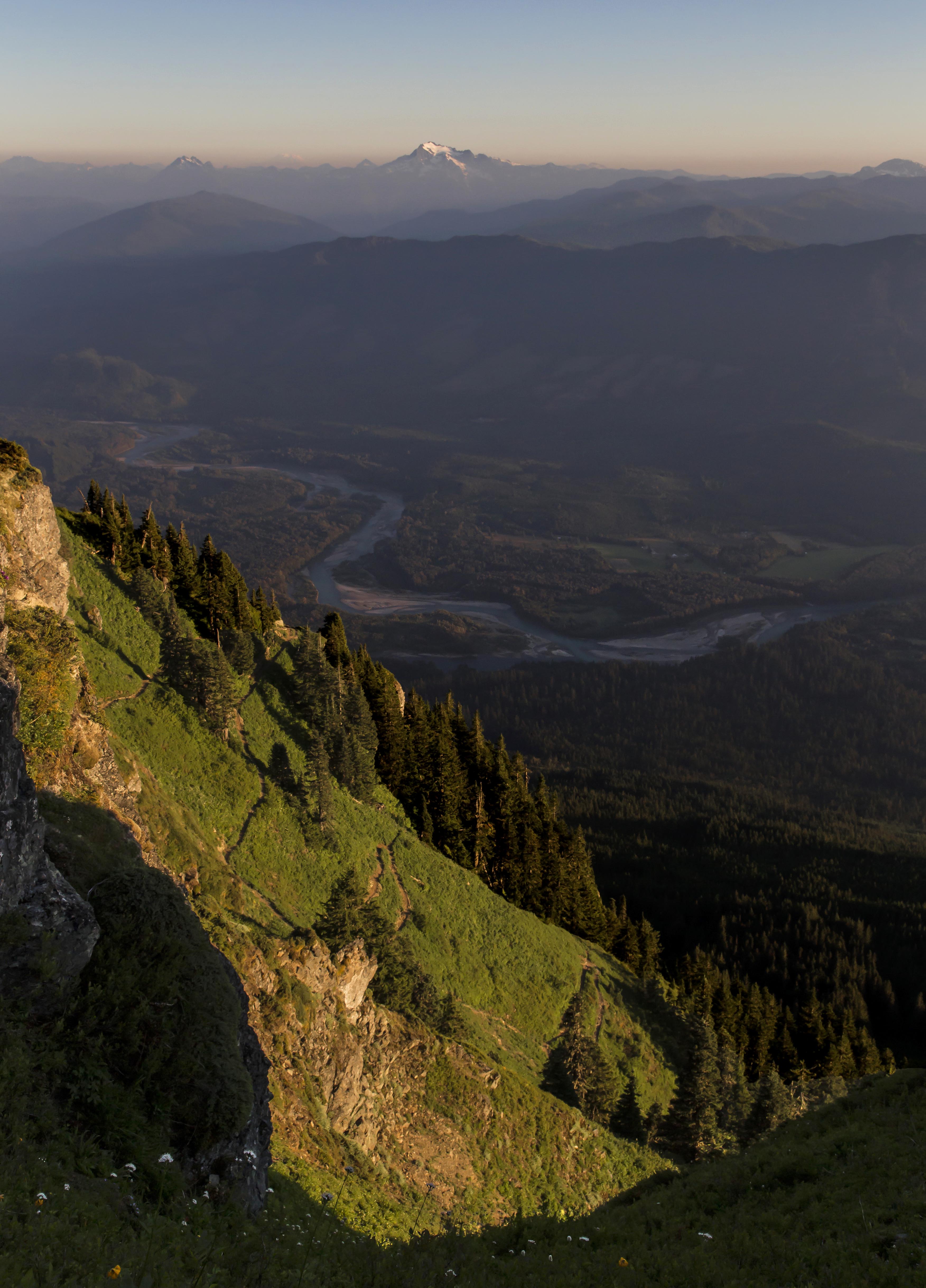
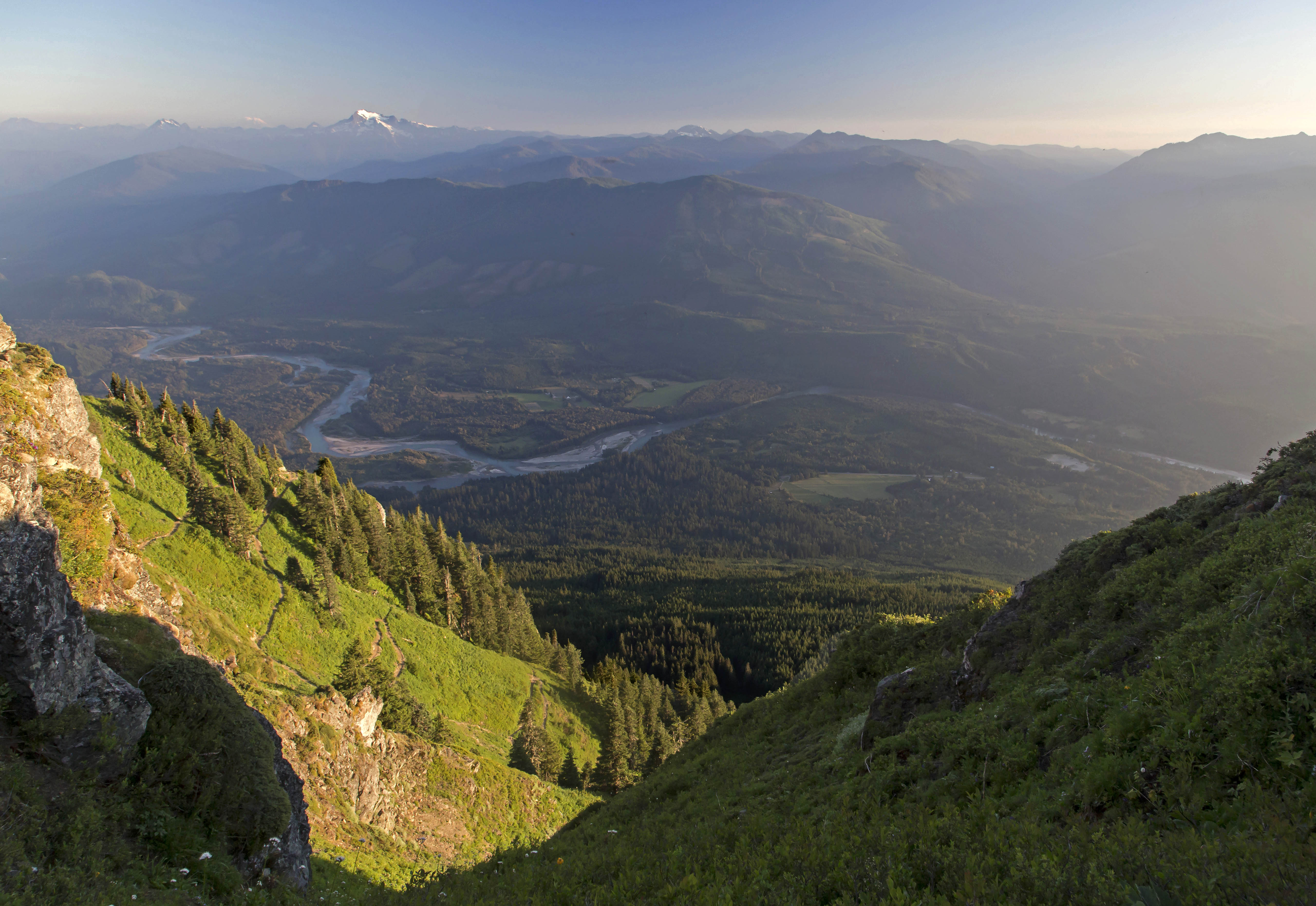
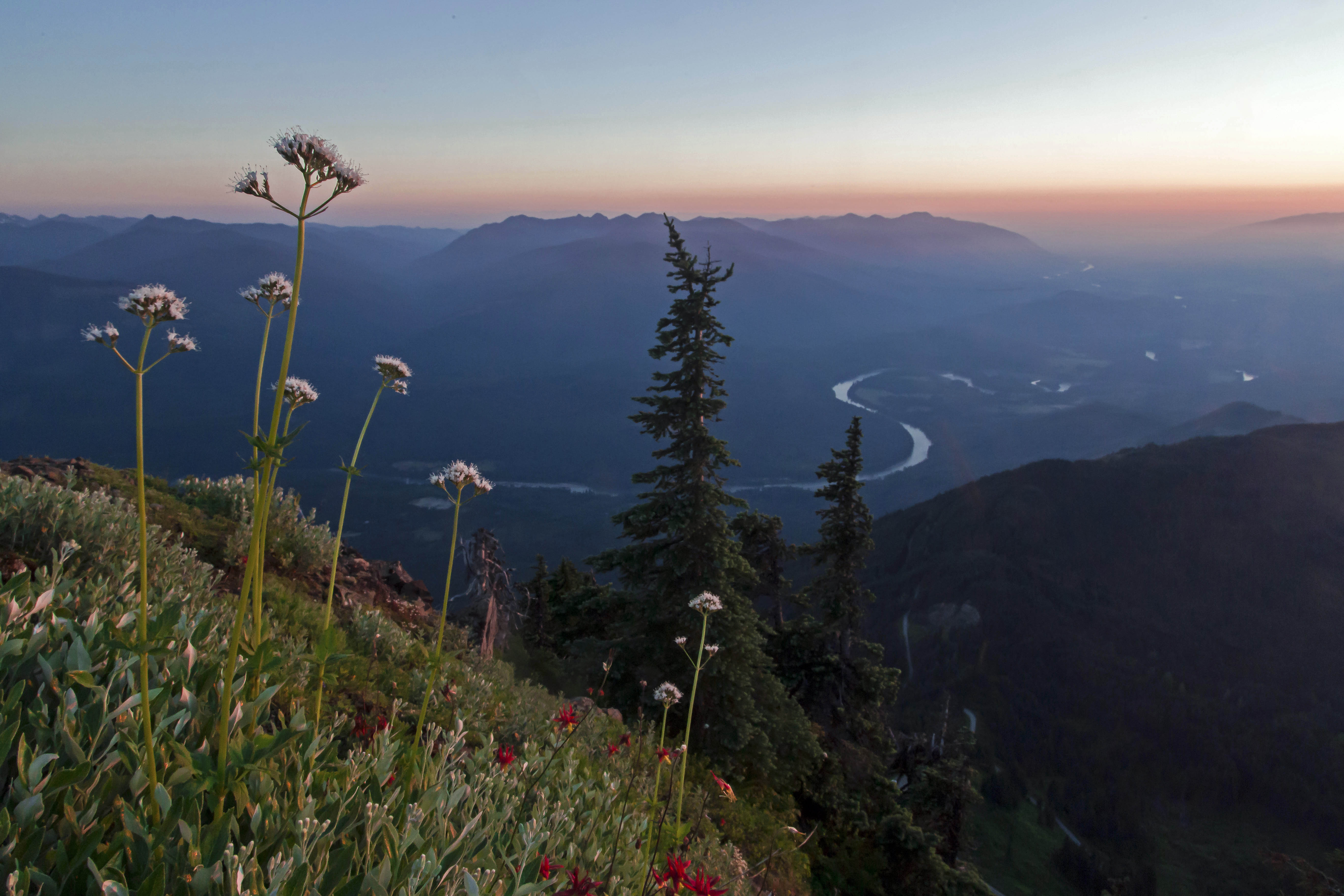
Sauk Mountain rises more than 5,000 feet about the lower reaches of Skagit Valley. It’s nearness to the North Cascades Highway makes it a popular day hike. All of the times I’ve been there before its been partly couldy at best but I saw enough to know that it would afford great views at sunset. So, on Thursday I made my way up and captured these images of the sweet light over the Skagit River and valley…


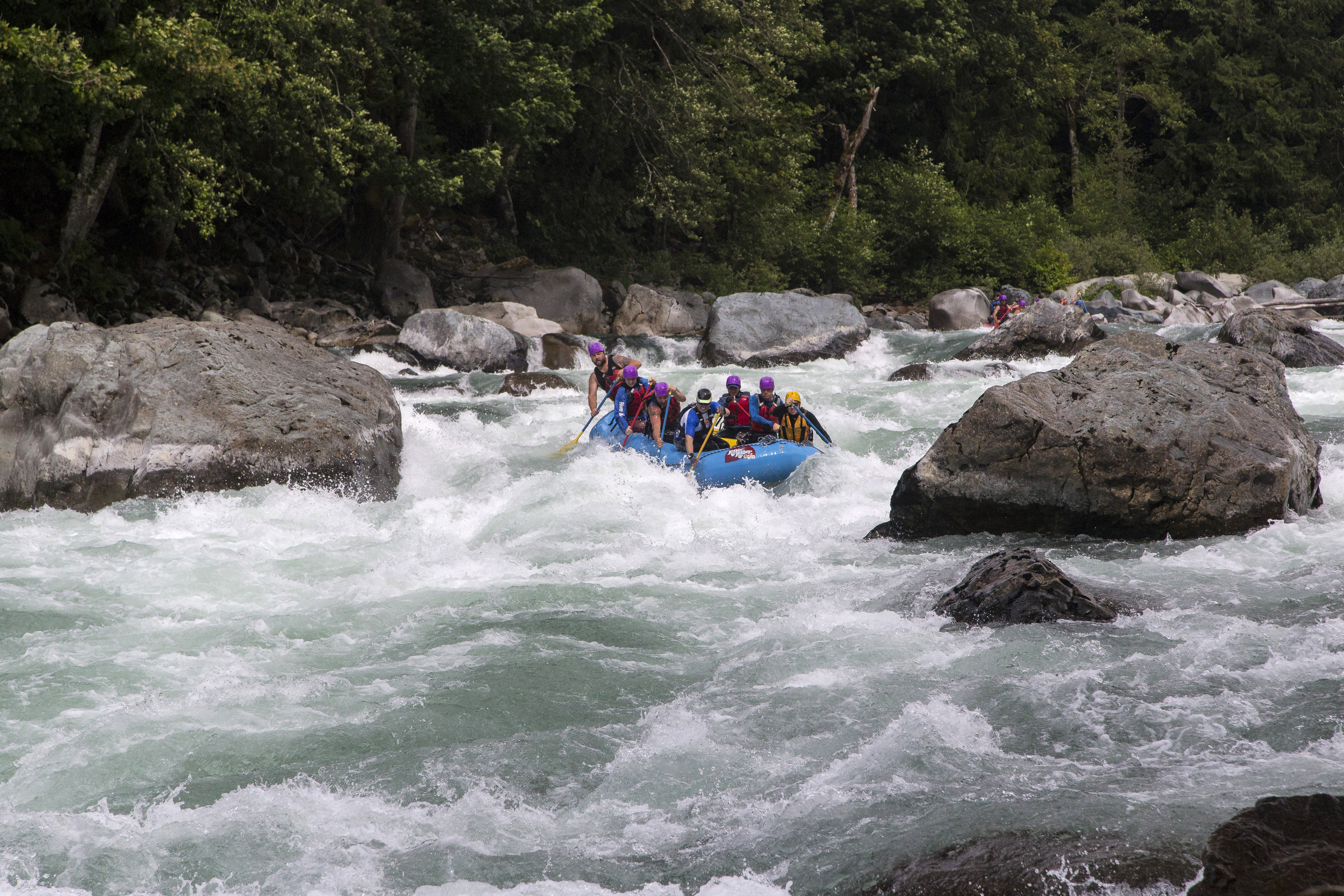
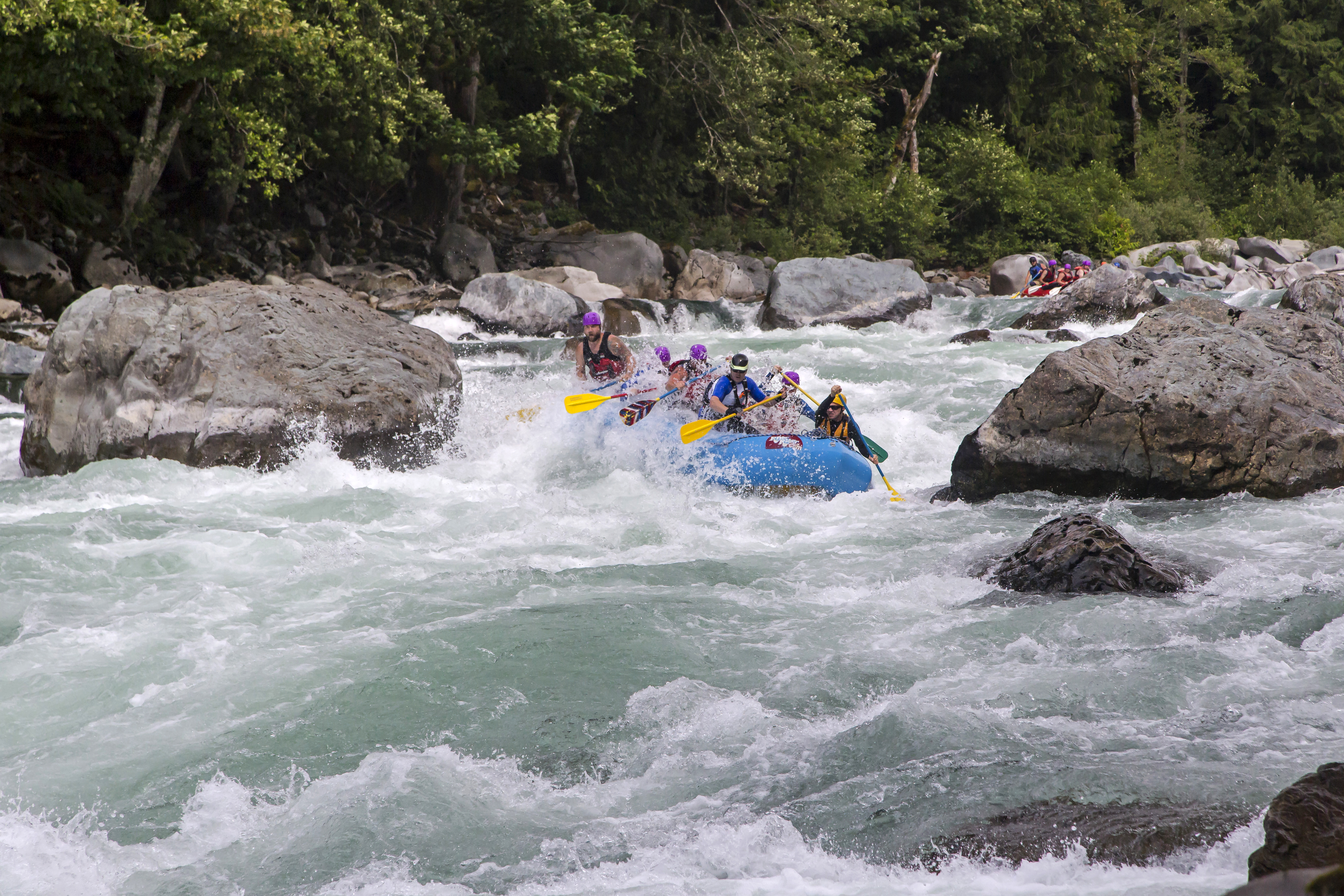
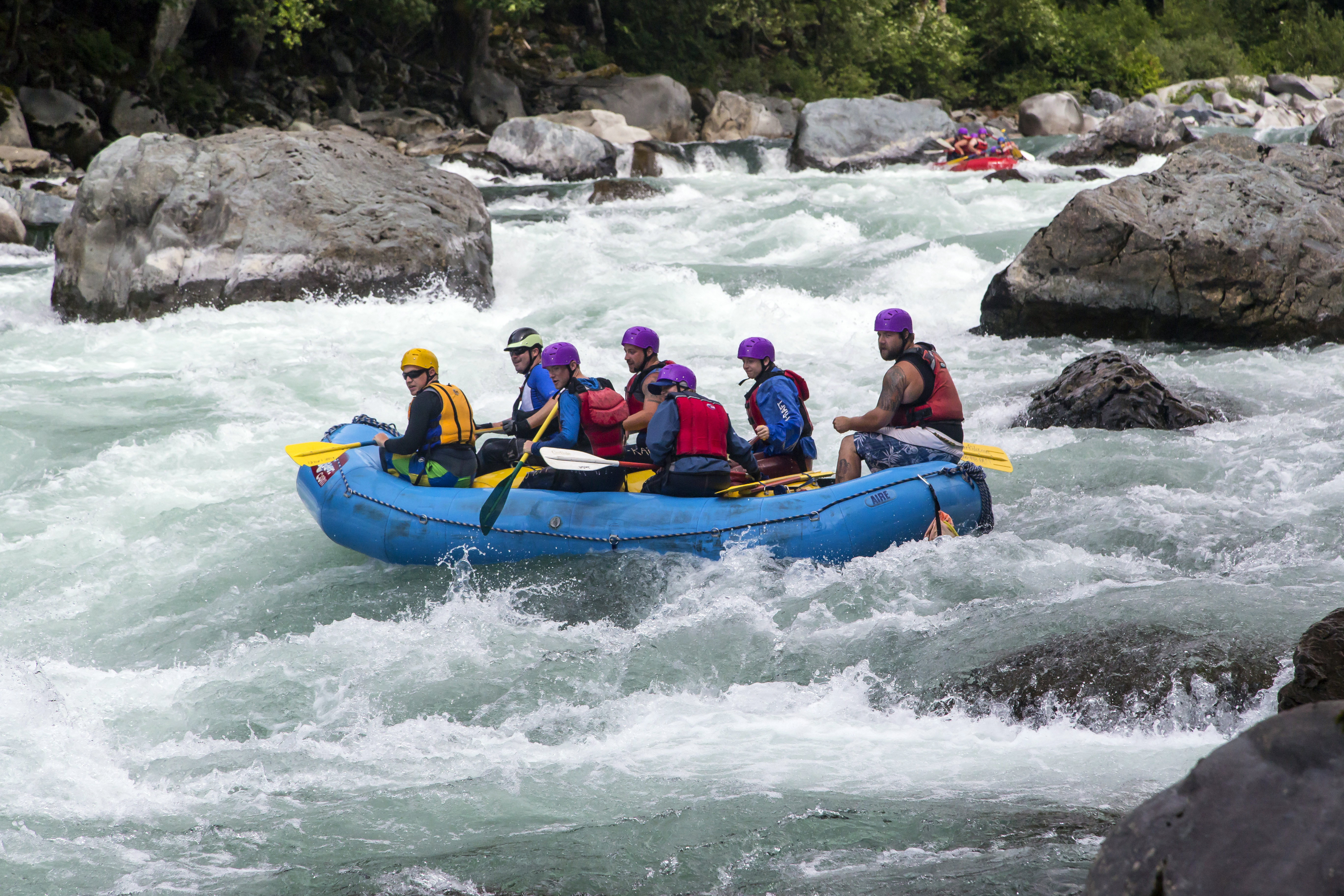
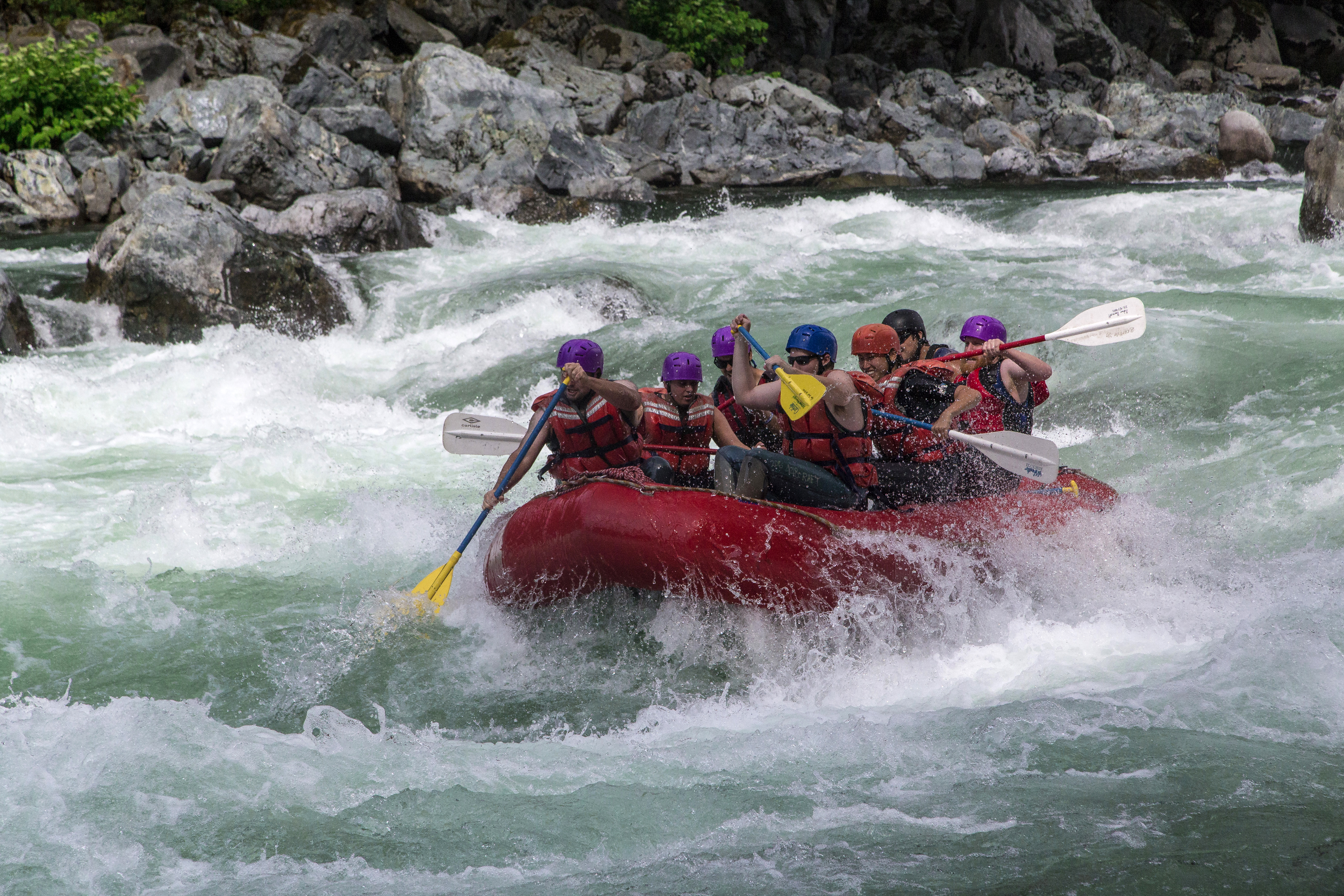
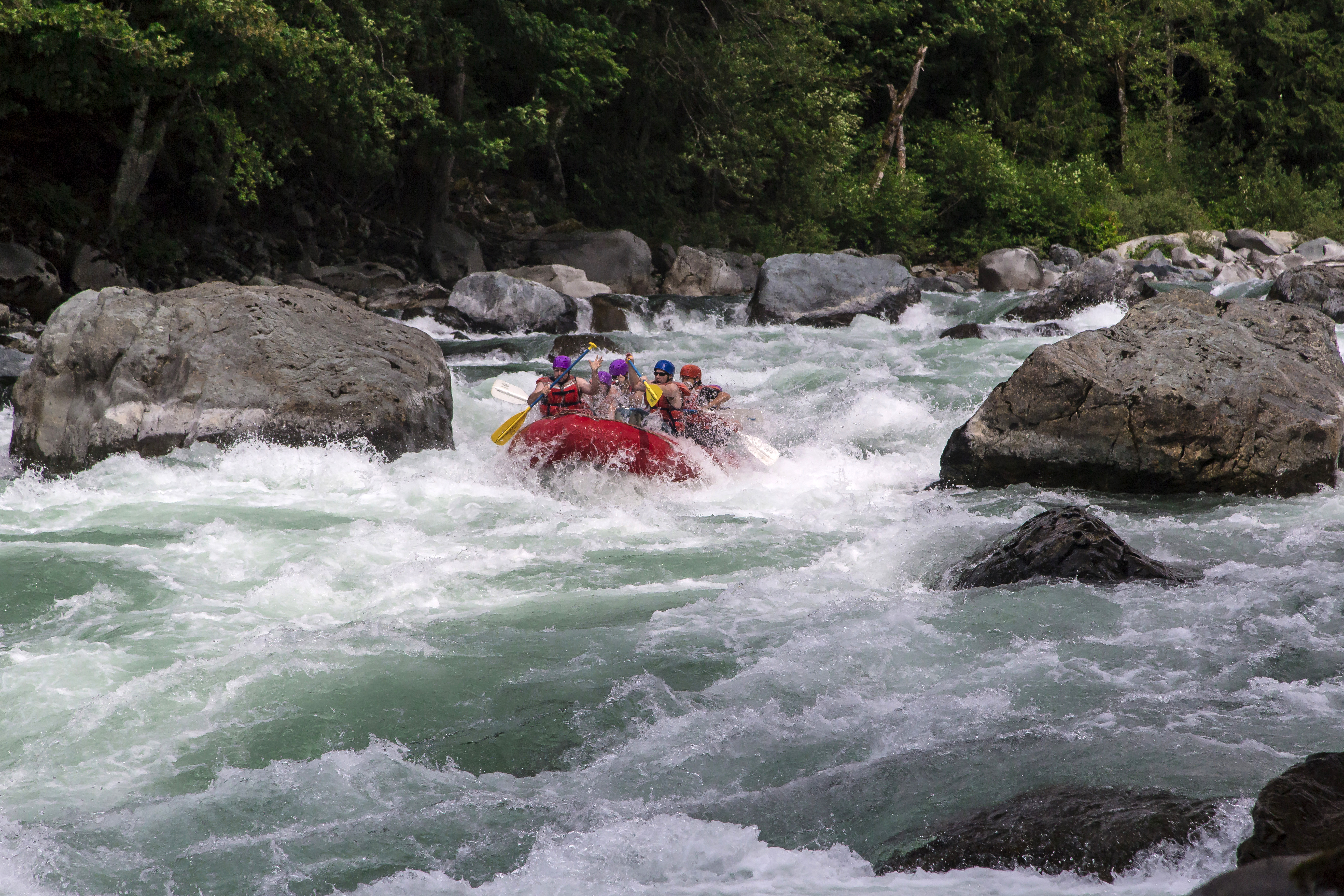
Boulder Drop is a Class V rapid on the Skykomish River. Located at mile marker 34 on Highway 2, east of Everett these rapids provide excitement and fun photo opportunities, as you can see here! I captured these images last Sunday (07/07/13) while on assignment at the Sky River Fest in Index…


The Pasayten Wilderness is located in Washington State along the Canadian Border. Stretching east from Ross Lake the mountains here are drier than the North Cascades National Park, on the other side of the lake. Long ridges, endless meadows filled with wildflowers and solitude is what you’ll find here in the Pasayten.
Here are a few images from an earlier trip…cant wait until July when I’ll be headed back out there on another long trek…
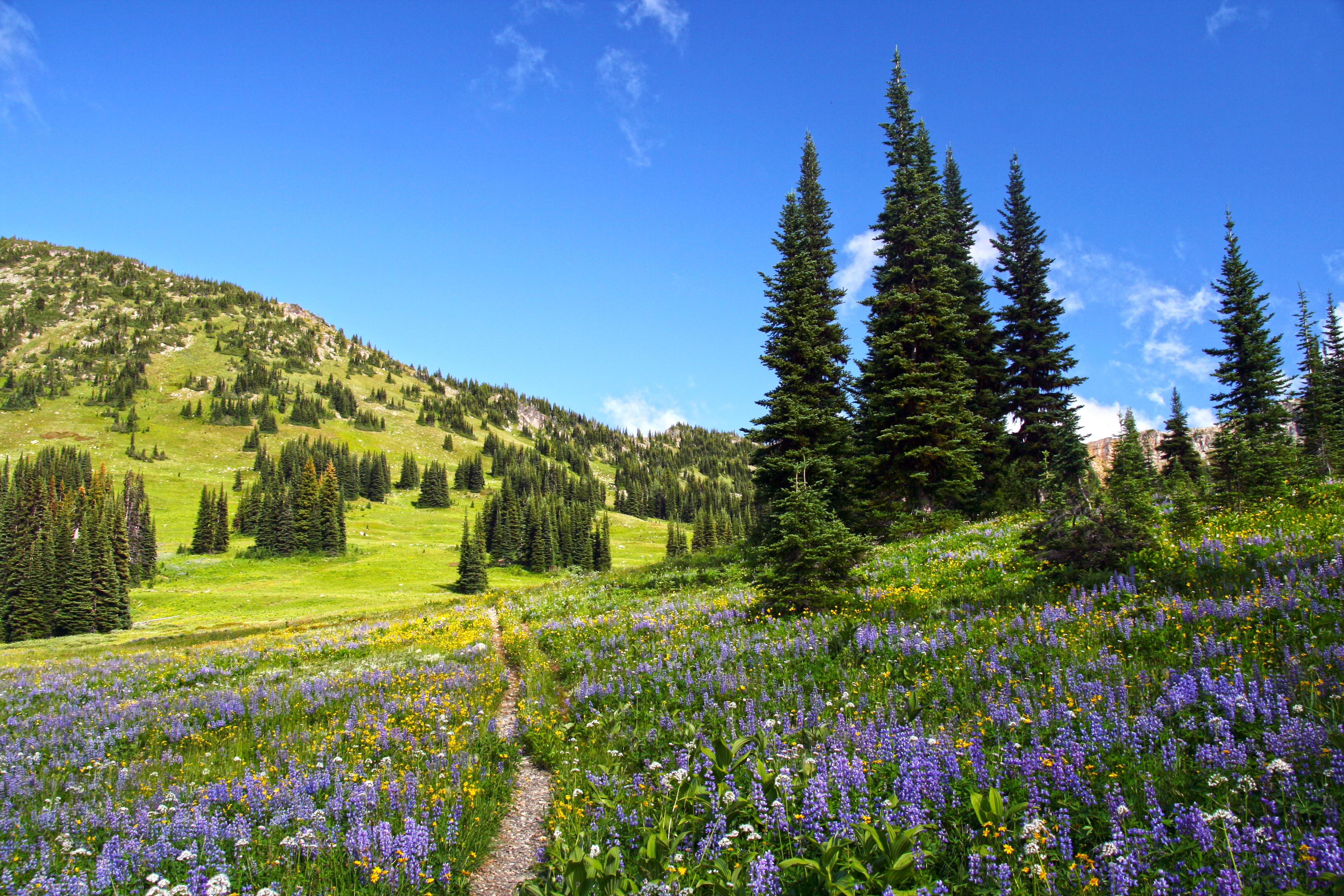 Pasayten Wilderness Wildflowers on the Pacific Crest Trail
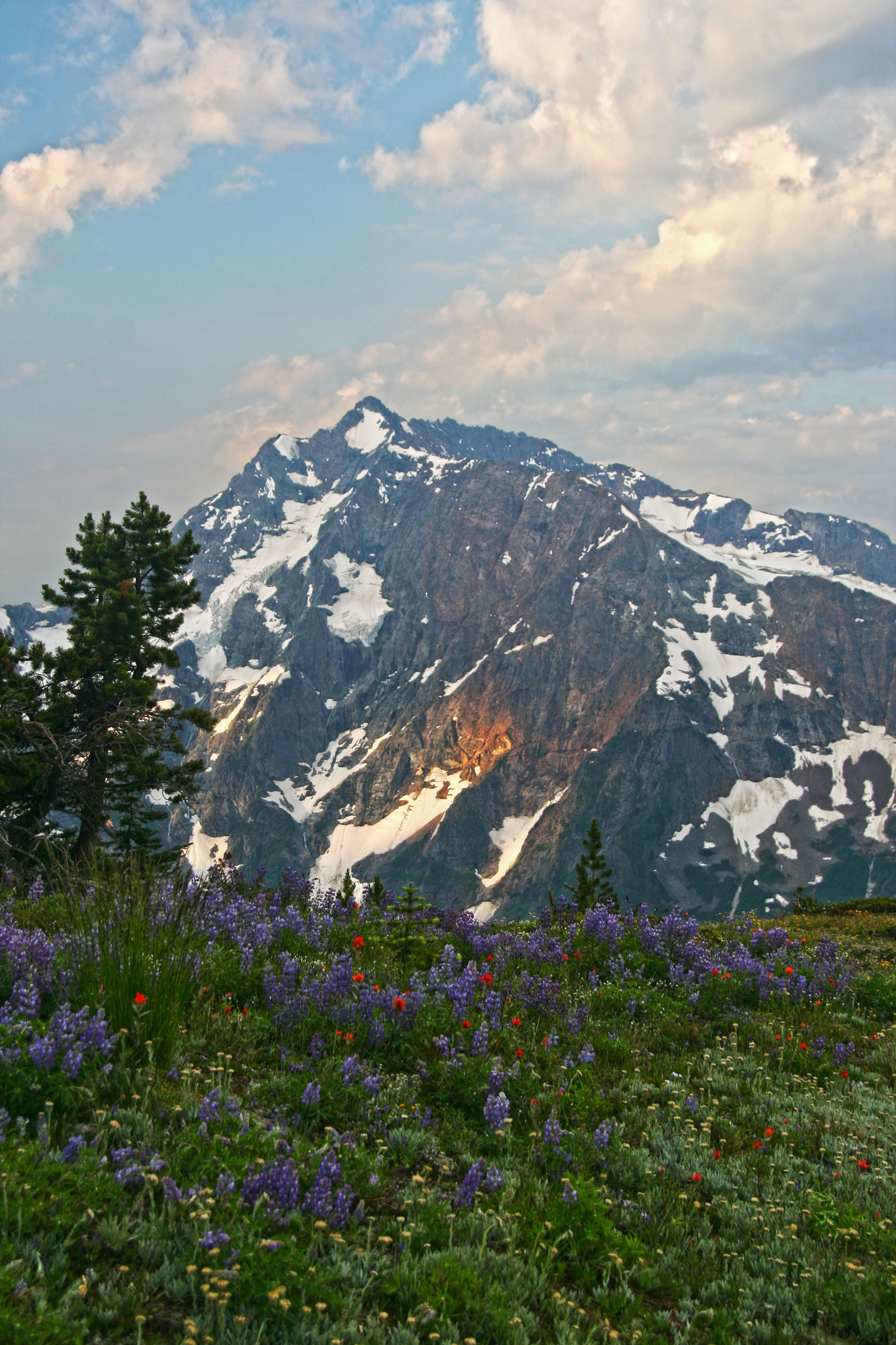 Jack Mountain and wildflowers from Devils Dome
 Pasayten Wilderness Wildflowers on the PCT
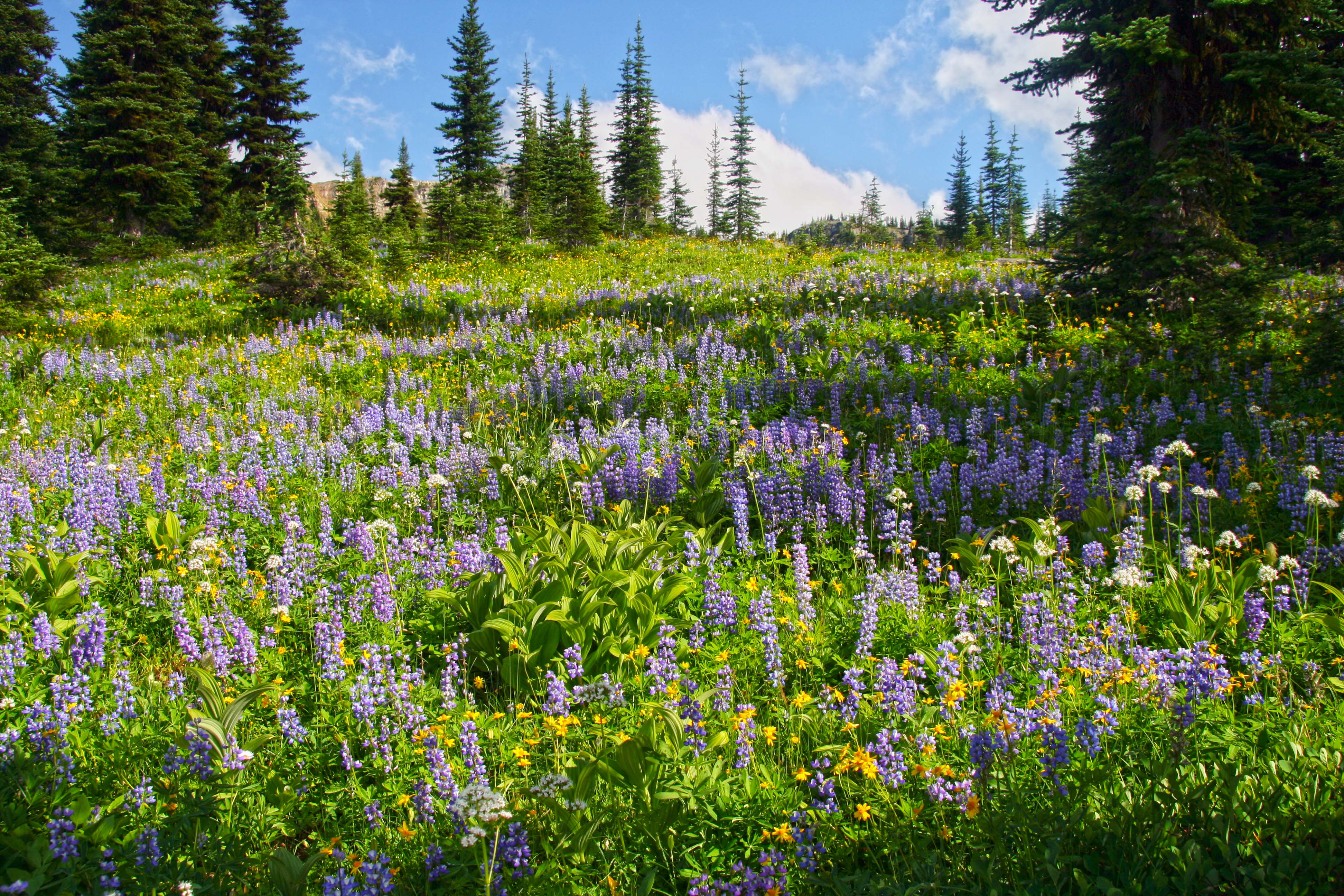 Pasayten Wilderness Wildflowers
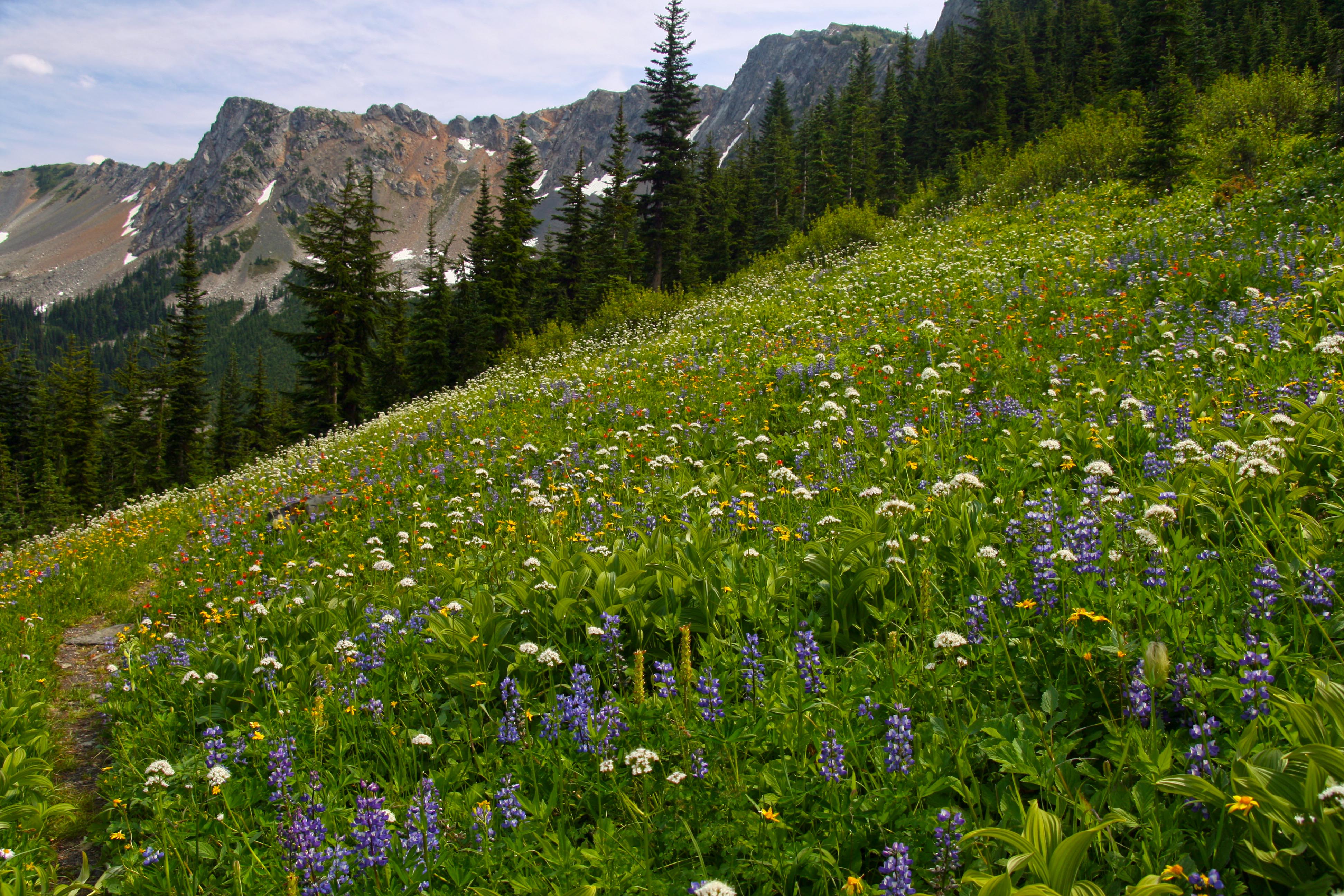 Pasayten Wilderness Wildflowers
 Em and Jack Mountain
 Joker Mountain from the Three Fools Trail
 Ross Lake from the Lightning Creek Trail