One of the most fabulous backpacking loops I have ever done was in the Pasayten Wilderness.
We began at Canyon Creek trailhead, along Highway 20, hiked up the Jackita Ridge Trail, visited Devils Dome, then connected with the Pacific Crest Trail at Holman Pass and headed north. At Castle Pass we took the Three Fools Trail west, to Ross Lake, where we got the water taxi to Ross Dam and hitchhiked back home.
Here are a few pics from the trip.

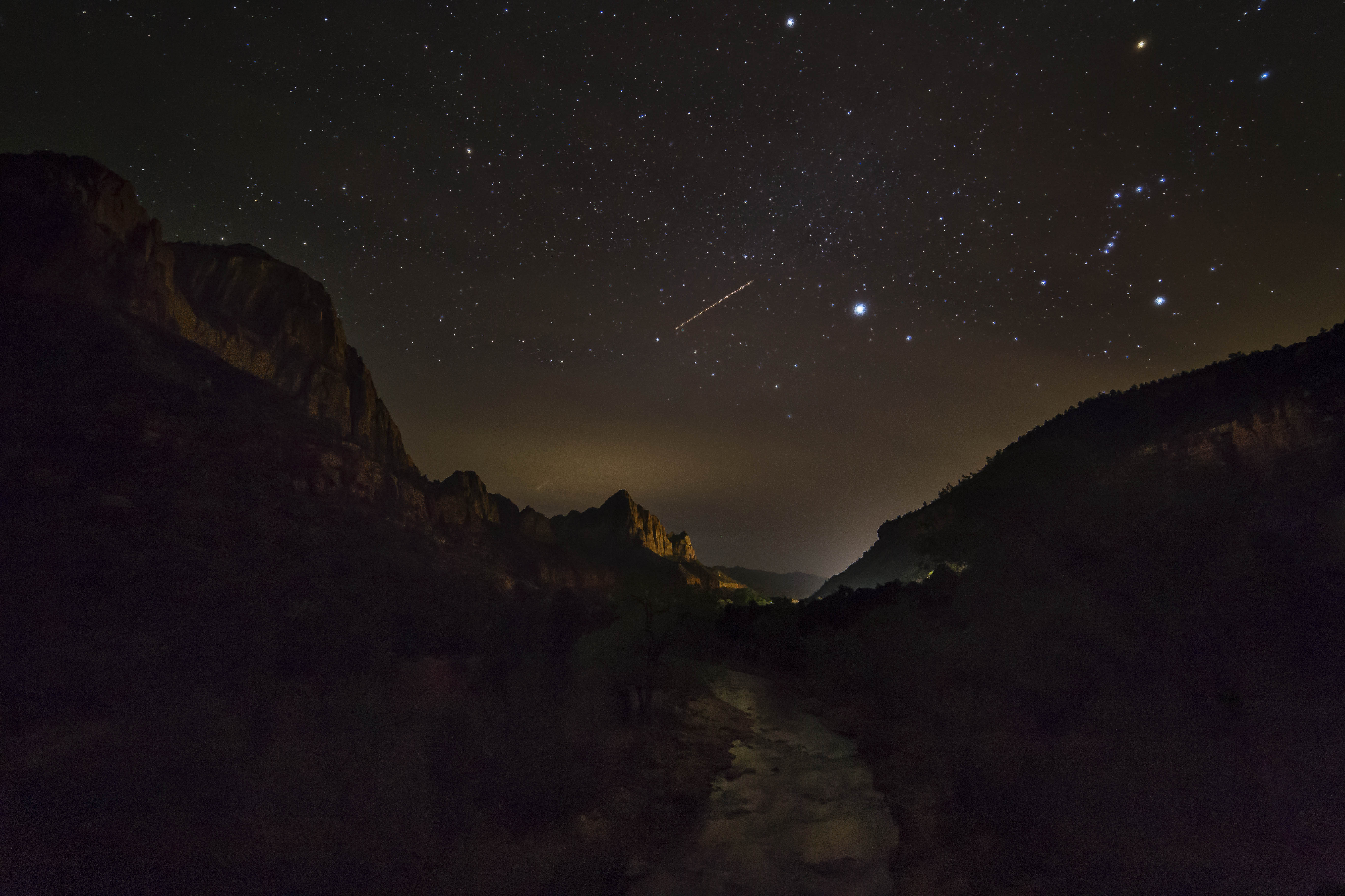
Sunset atop Devils Dome, Pasayten Wilderness, North Cascades
This first one is a sunset from atop Devils Dome. We spent the night there, (08/08/08) and were observers of a spectacle of lightning storms that swept through that night, starting innumerable fires throughout the park. Like three fools we stayed there, atop the Devils Dome, mouths agape, as the night sky erupted and just watched.

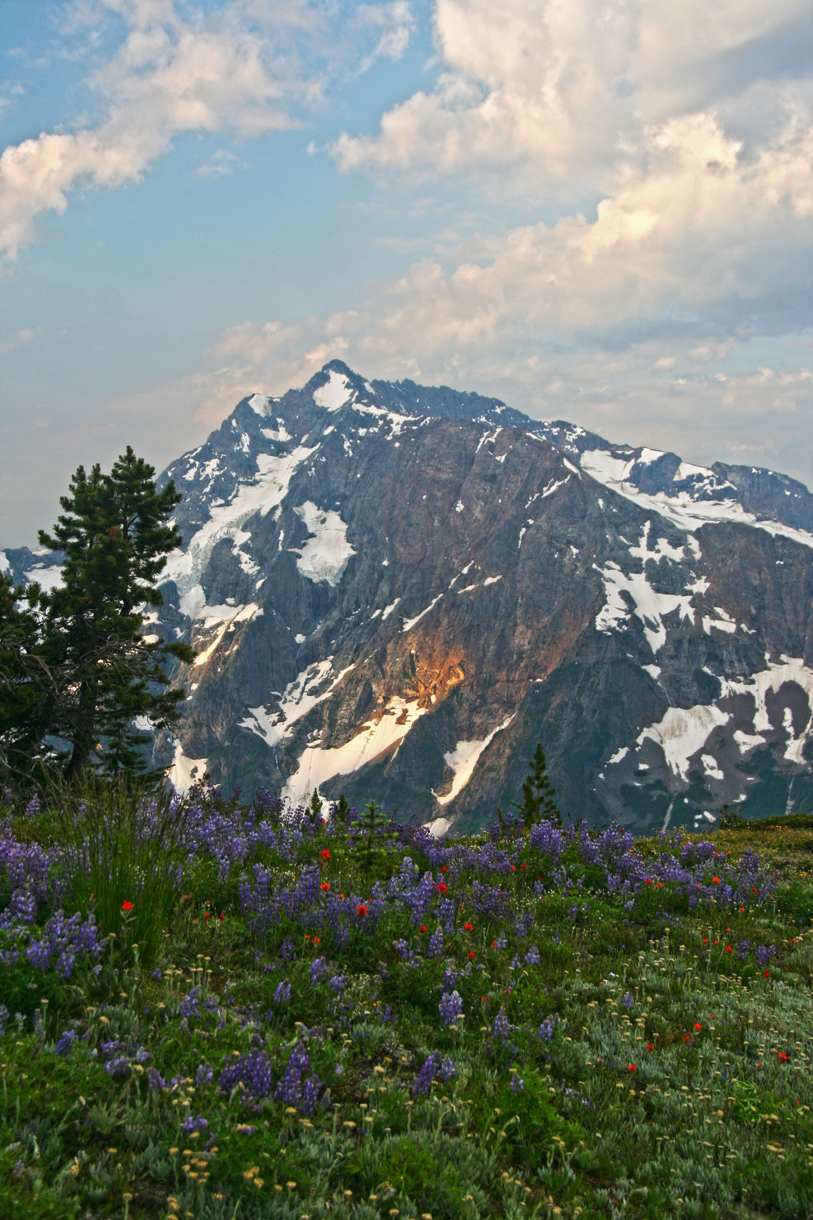
Jack Mountain from Devils Dome, Pasayten Wilderness, North Cascades
This is Jack Mountain, from Devils Dome. Hiking in the Pasayten Wilderness is wonderful, lots of views and flowers.

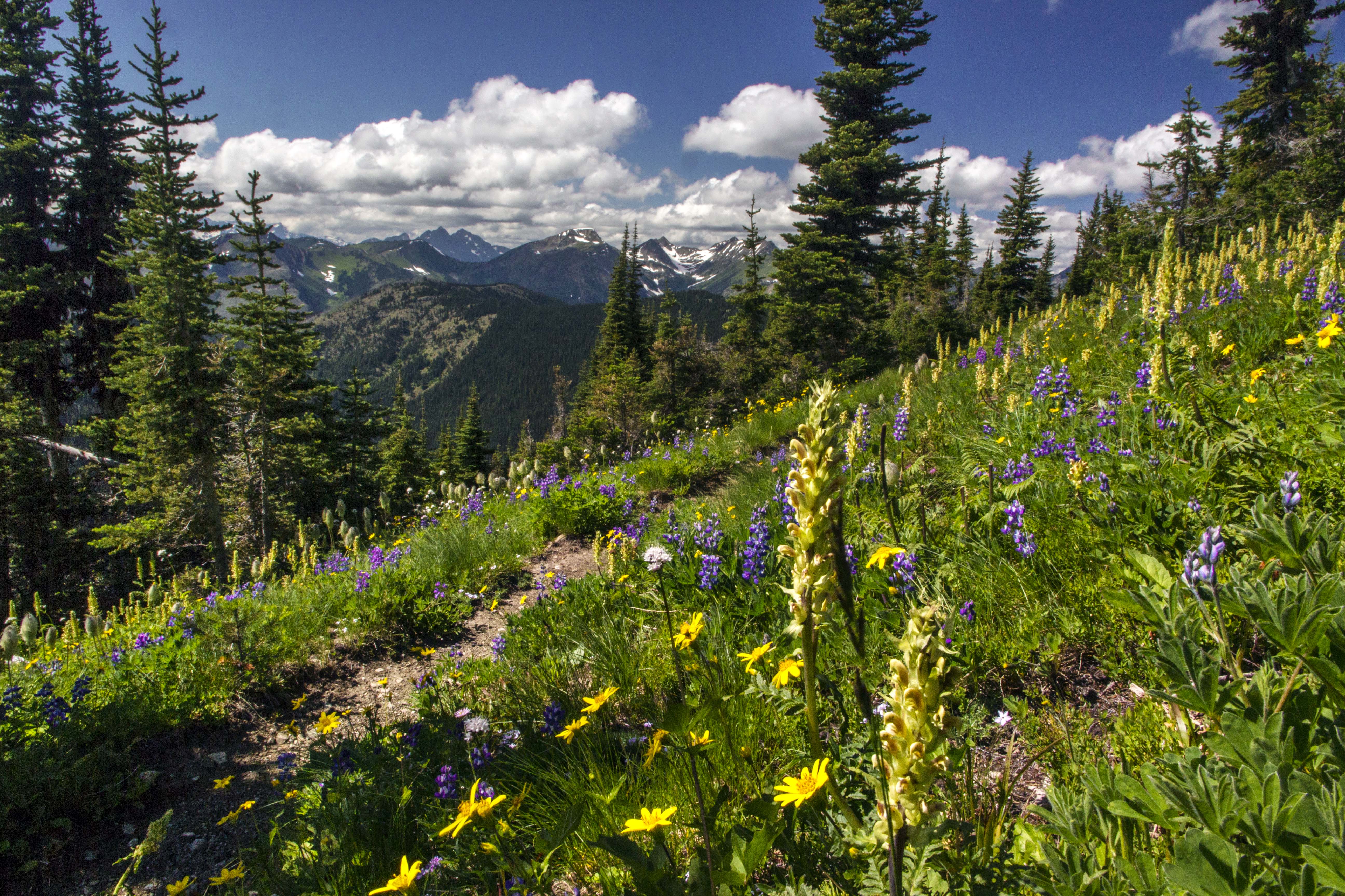
Cascade Crest from Jackita Ridge Trail, Pasayten Wilderness
This was taken from the Jackita Ridge Trail, looking west – southwest. That long green meadow inviting you is Devils Garden.
Here is another view from the trail.

Jack Mountain, Pasayten Wilderness
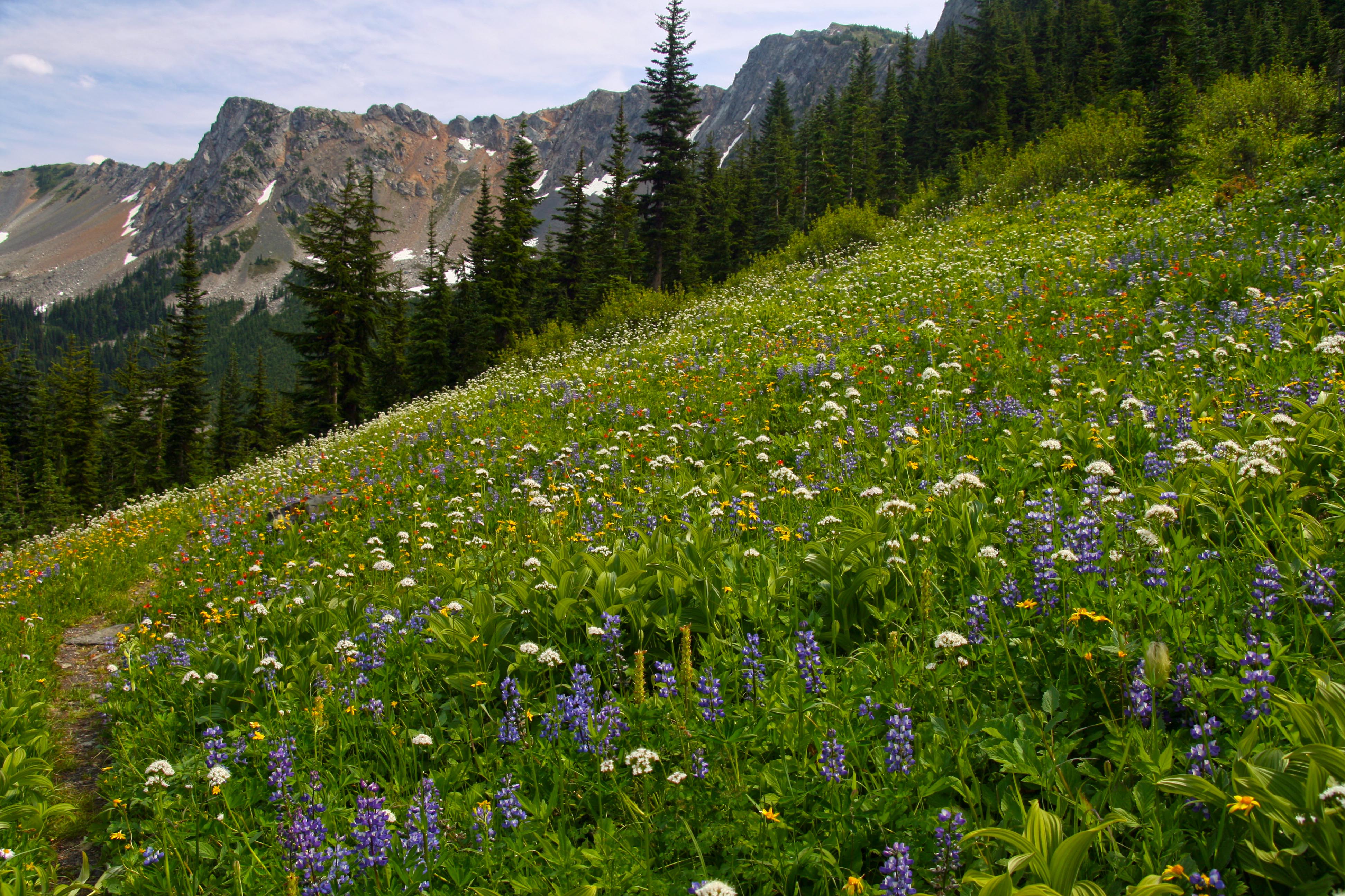
After Devils Dome we made our way to Holman Pass where we intersected the PCT and turned north. The image on the right is from a glorious meadow (with a spring) just before Rock Pass. And the Double Rainbows is at Rock Pass looking north. That’s Lakeview Ridge stretching to the distance.
-

- Double Rainbows at Rock Pass, Pasayten Wilderness
-

- Pacific Crest Trail, Pasayten Wilderness
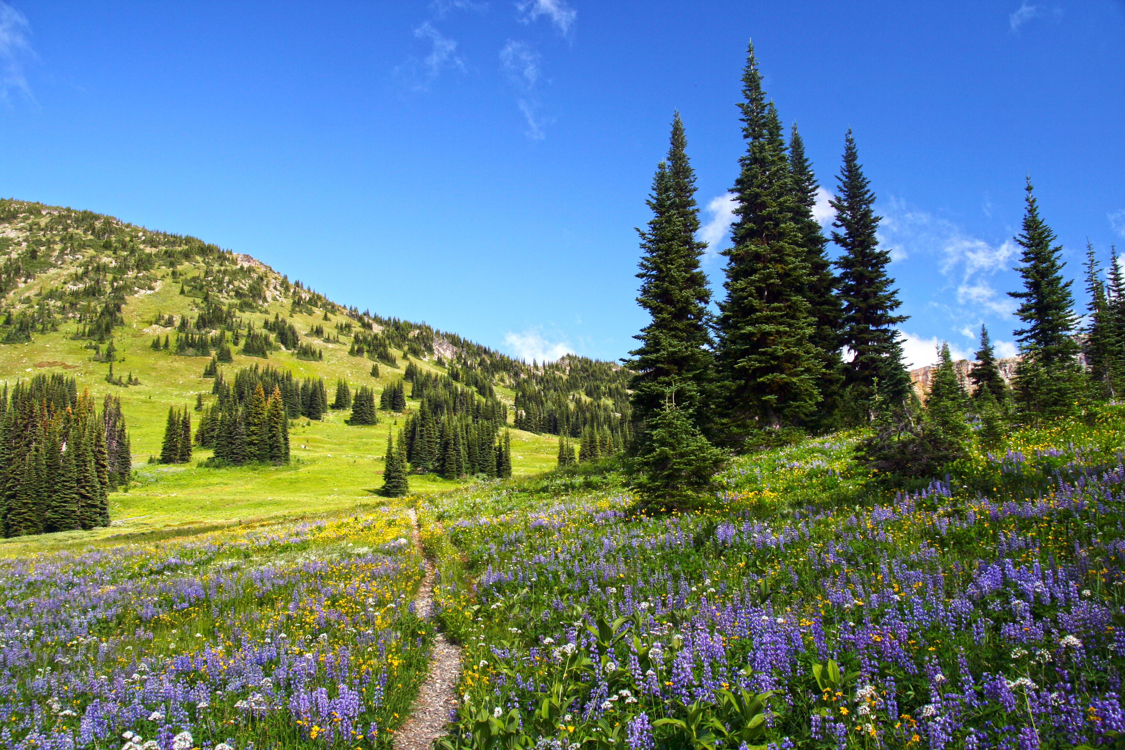
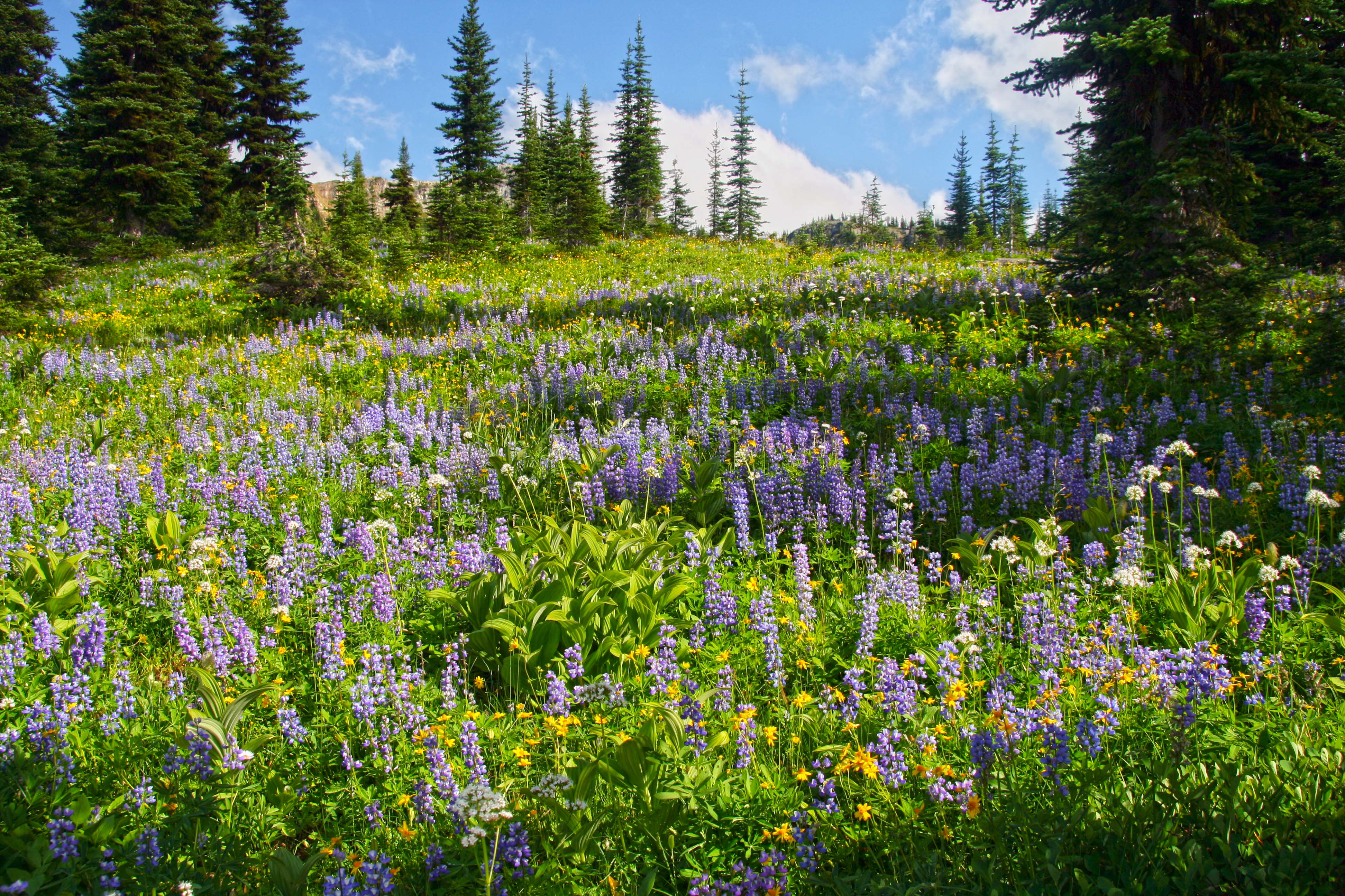
The wildflowers are all over (assuming you’re there at the right time!)
 The Three Fools Trail was a struggle. It hadn’t been maintained in more that a decade, there were more than 200 down trees between Elbow Basin and Three Fools Creek…it was brutal!
The sunsets, however, were magnificent. This is from Elbow Basin.

The Three Fools Trail lived up to its hype: Stunning scenery, no one to be seen anywhere and you’d have to be a fool to try!

Big Face Mountain from the Three Fools Trail, Pasayten Wilderness
Here is Big Face Mountain from the trail.

Ross Lake from the Lightning Creek Trail, North Cascades National Park
and lastly, Ross Lake, from the Lightning Creek Trail.
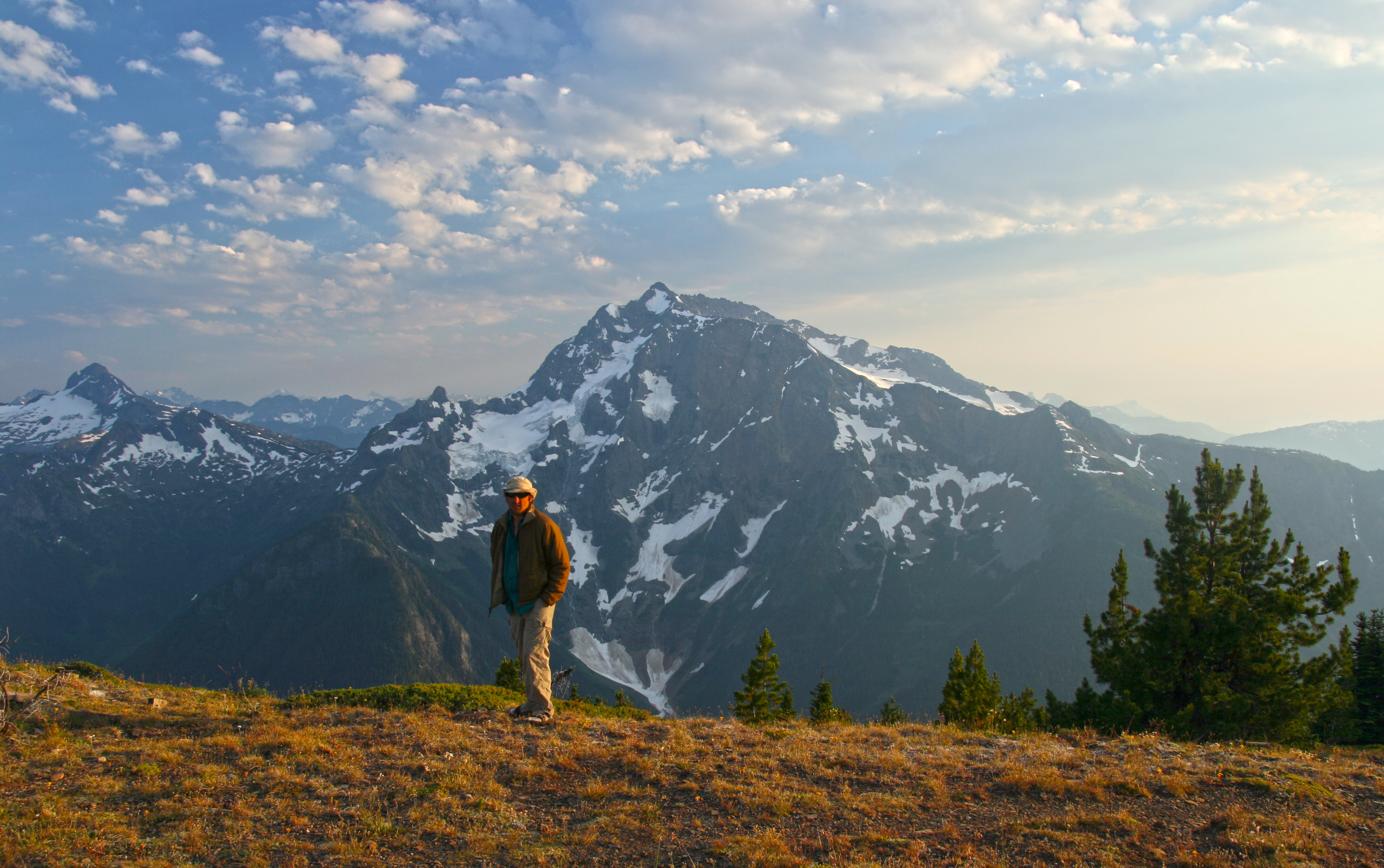
That was my first visit to the section of the PCT from Holman Pass, north to the border with Canada. I have revisited several times, access is not bad, at Slate Peak. You can park at a junction with the PCT, at 7,000 ft elevation to start your hike!
The views along Lakeview Ridge are to die for…that will be the subject of the next post!
Oh, the hitchhiking home part: When we debarked the water taxi and hiked up to Highway 20 we were more than a bit surprised to see hordes of cops. Not just regular ones, Border Patrol, guys in kevlar with nasty weapons, the place was swarming with them!
Eventually one of the cops came over to ID us sketchy looking hitchhikers and being polite and all the cop arranged a ride for us home. It turned out that a Park Employee had stumbled upon a huge marijuana farm, right there, near Ross Lake! So they came up with the swat team and got boats and went to raid the pot farm, but by the time they got there, the farmers had fled to parts unknown…