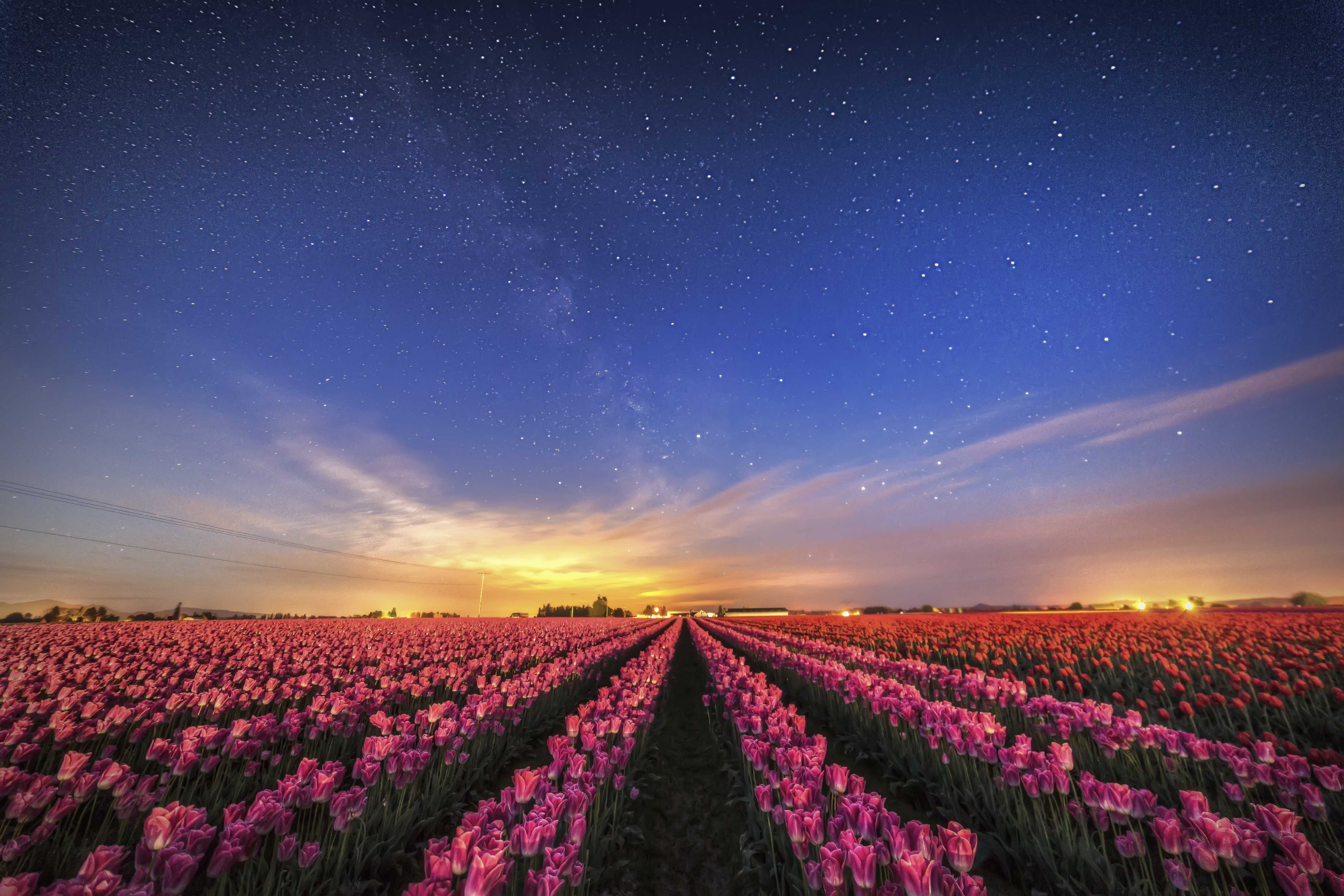
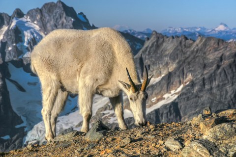
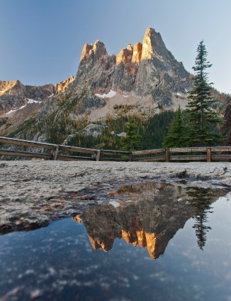
The North Cascades National Park is situated in the northwestern corner of Washington State, along the Canada border. It’s a wonderfully rugged piece of wilderness, half a million acres of meadows, jagged peaks, glaciers, forests and wonder.
The North Cascades National Park does not get a lot of visitors, by National Park standards. That’s due in part, to the fact that the park is not on the way somewhere, unless you’re circumnavigating the US border! It’s a 3 hour drive, north from Seattle. In short, it’s an out of the way place. If you got there, its because you meant to!
Which is all fine with me. Less people means more solitude.
The park is bisected by the North Cascades Highway into two units. The North Unit is more remote than its southern sister. There are fewer trails.
The legendary Picket Range is here. Peaks like Mount Terror, Mount Despair and Mt Challenger tower over the deep, wet valleys filled with nasty things like Devils Club.
 Trail access from the west side is via Hannegan Pass. Heading east from the town of Glacier on SR 542 (Mt Baker Hwy) for 13 miles there is a well marked turn off for the Hannegan Pass trailhead.
All sorts of important info about permits to camp overnight in the park, can be found here
Its about 4 miles to the pass, and from there you can do a short easy scramble to the top of Hannegan Peak, or a more involved climb of Ruth Mountain.
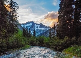
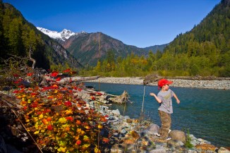
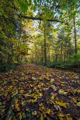
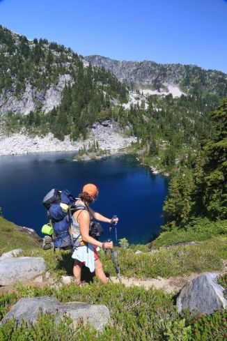
Just down the east side from the pass you enter the National Park. There is a campsite, Boundary Camp, and a trail junction. You can ascend Copper Ridge to Silesia Camp and Egg Lake, or follow the main trail down the Chilliwack River (there is a spot where you pull yourself over a chasm in a cable car) to a junction where you meet a turn off for the trail to Whatcom Pass.
-

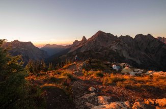
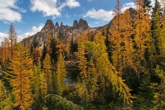
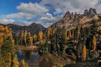
- Easy Pass, Whatcom Peak and Mt Challenger
-

- Just east of Whatcom Pass
-

- Park Entrance
-

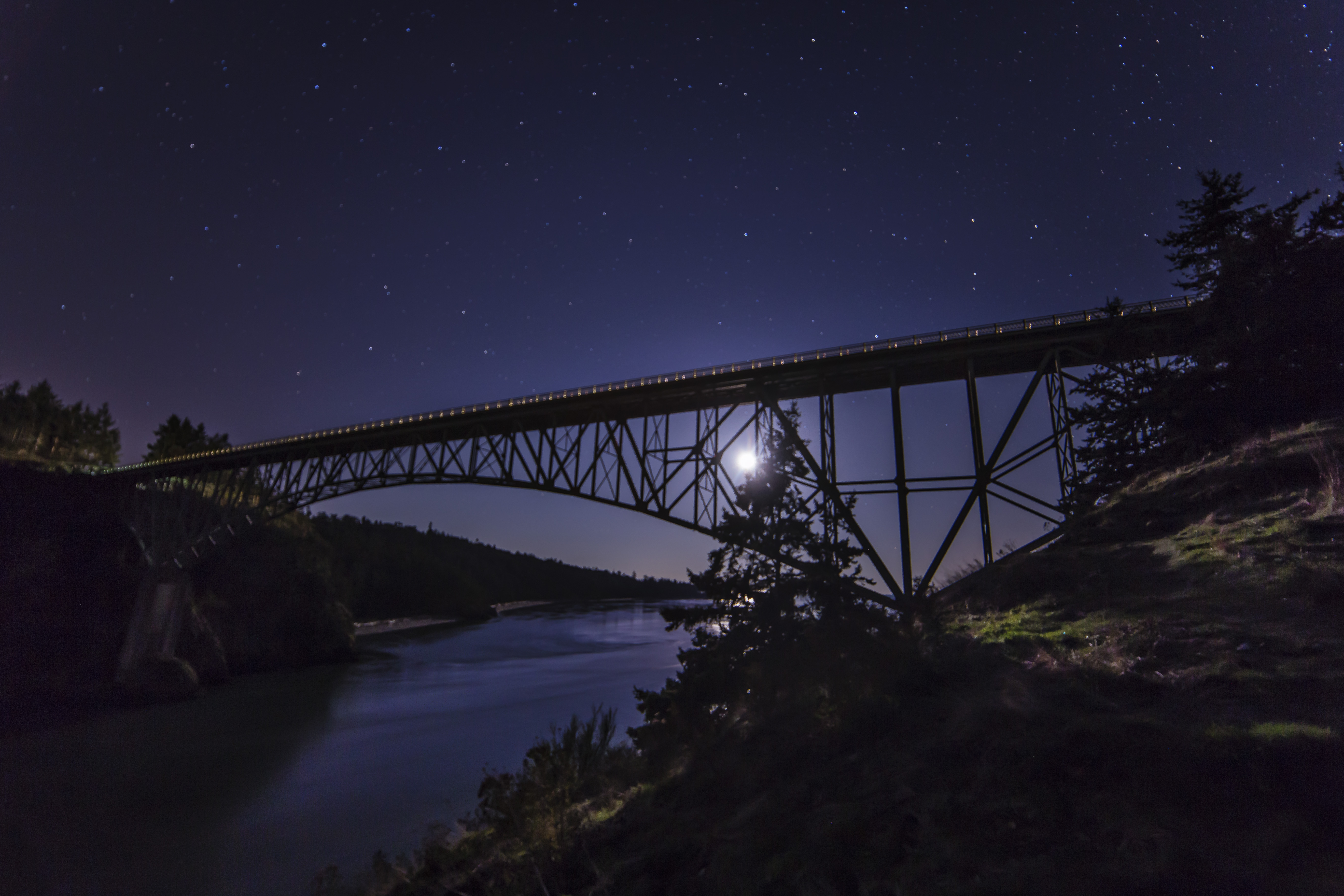
- Cable Car across the Chilliwack
-
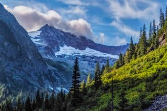
- Mt Challenger
-

- Little Beaver Valley from Whatcom Pass
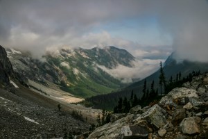
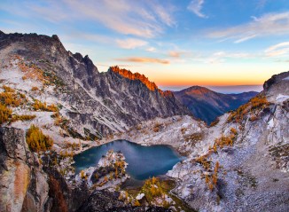
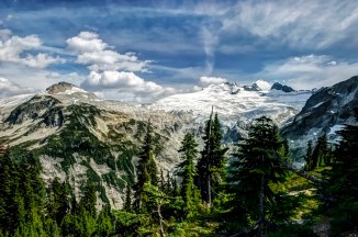
This is one of the more remote parts of the park. The views of Mt Challenger and its namesake glacier are mind blowing. I have visited twice, the first visit was magnificent, and the most recent a total white out of gray.
From Whatcom Pass you can retrace your steps back to the car, or you can continue your trip east, and hike down along Little Beaver Creek to the shores of Ross Lake and take a water taxi to Ross Lake Resort, or hike out via Beaver Pass.
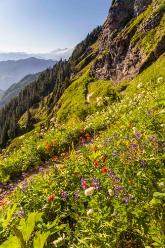
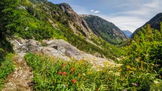
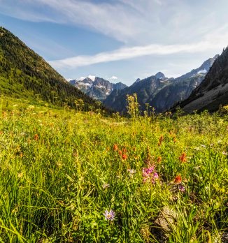
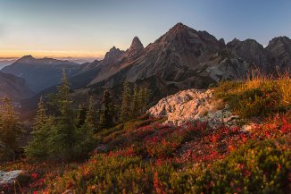
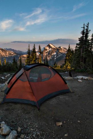
A longer and more spectacular trip is to take the turn off for Copper Ridge. This is one of the few ridge hikes in the park, affording breathtaking views of Mount Shuksan, Mount Baker and host of other peaks. There are several camp site along Copper Ridge, Silesia Camp has the best views anywhere, and Copper Lake is a wonderful place to camp along the route.
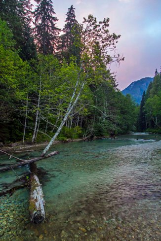
The trail loops down the Chilliwack River, which you ford just south of the Canada border.
In early August expect to be wading through a river filled with salmon. It is quite a sight. From there its an easy hike to the junction with the Whatcom Pass Trail, and so you can make a loop out of the trek.
-
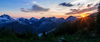
- Sunset on Copper Ridge
-

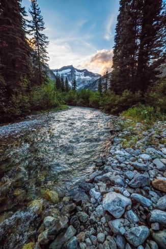
- Indian Creek
-

- Hiking along Copper Ridge
-

- Copper Ridge Trail
-

- Capturing sunset
-

- Copper Ridge Panorama
-

- Copper Ridge Lookout
-
- Copper Lake
-
- Silesia Camp
-

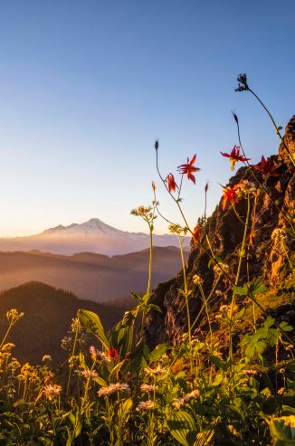
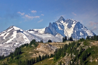
- Ruth Mountain and Mount Shuksan
-

- Arriving at Copper Ridge
-

- Chilliwack Salmon
-

- Chilliwack Salmon
-
- Chilliwack Salmon
-
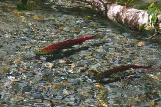
- Chilliwack Salmon
-

- Chilliwack Salmon
-

- Indian Creek Waterfall, North Cascades National Park
-

- Evening light at Copper Ridge
-
- Mount Shuksan
-

- Baker and Shuksan from Copper Ridge
-

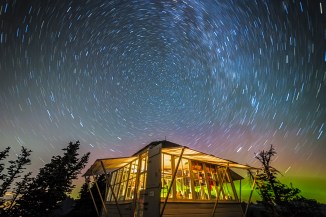
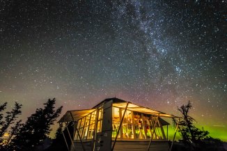
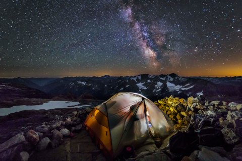
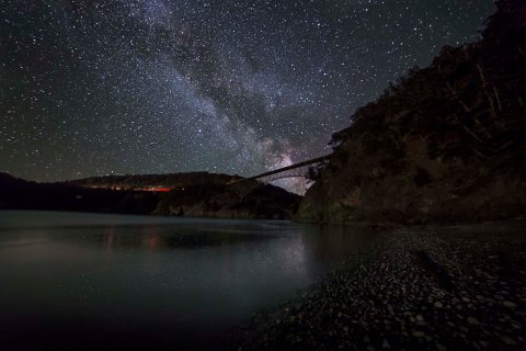
- Starry night along the Chilliwack
-

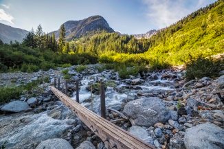
- Suspension Bridge across Indian Creek
The Southern Unit has many more access points along Highway 20, Ross Lake to the east and Lake Chelan to the south. The Pacific Crest Trail passes through on its way to Canada.
In the next two posts we will visit some of the most spectacular areas in the lower section of the park.
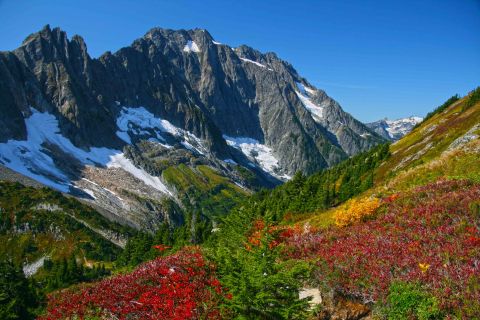
Here is an image of Mount Logan from the North Fork Bridge Creek.

Mount Logan, North Cascades National Park