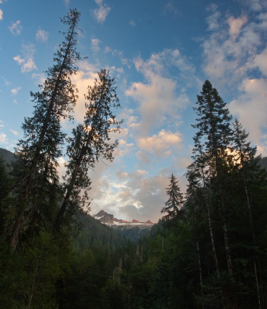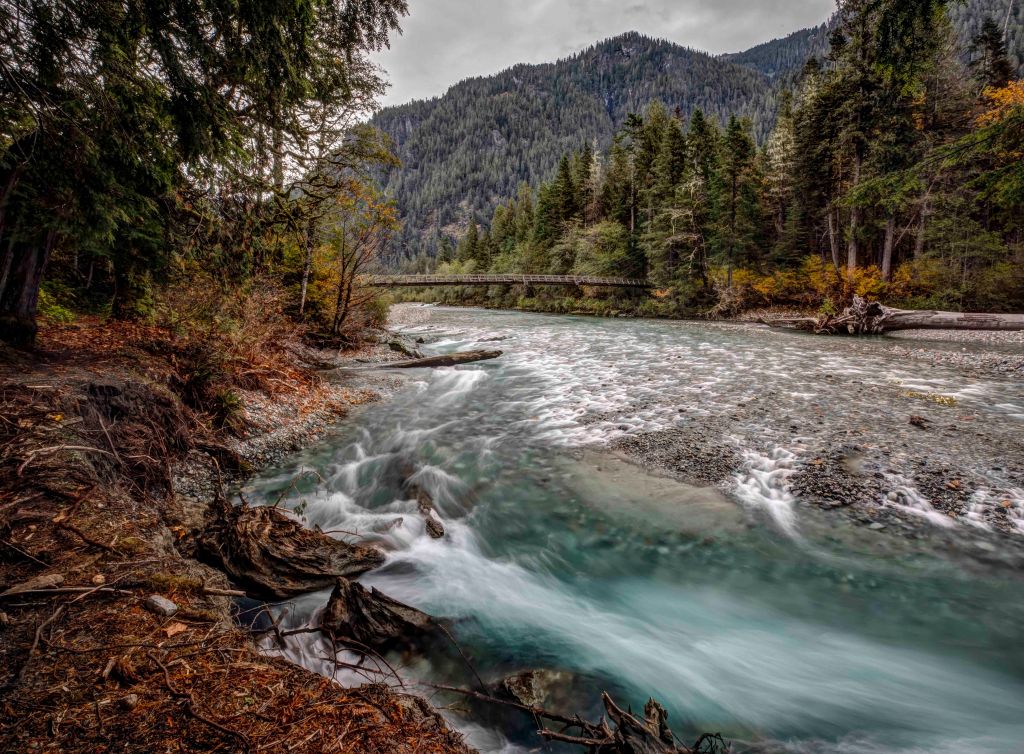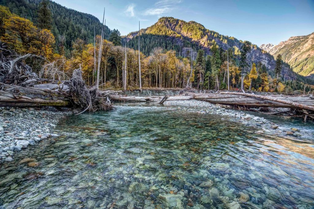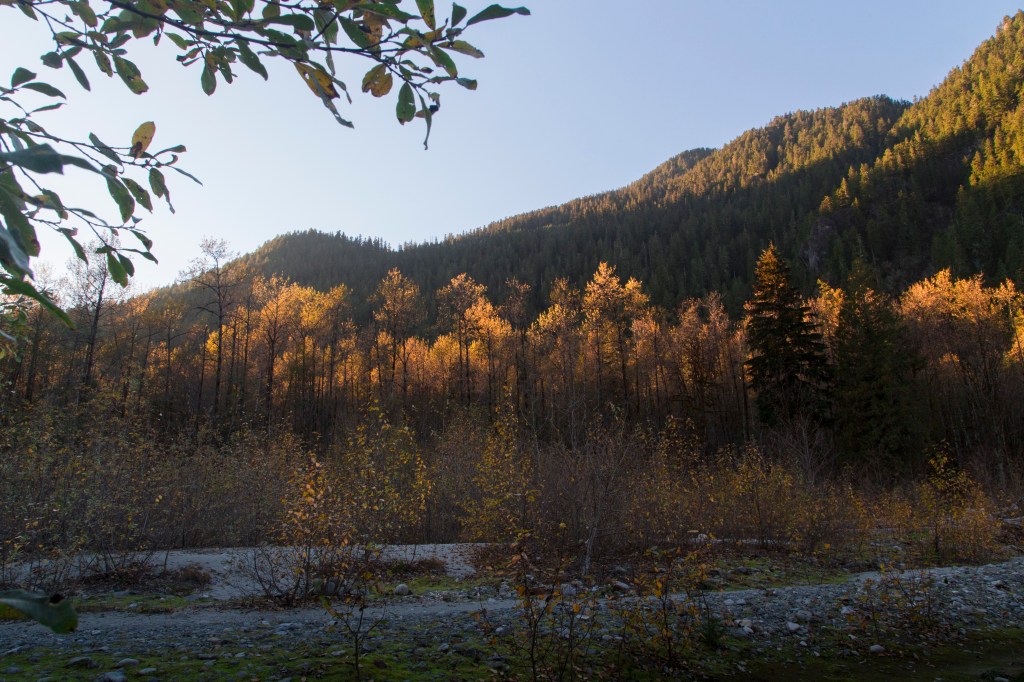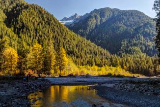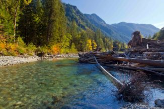
Baker River, North Cascades

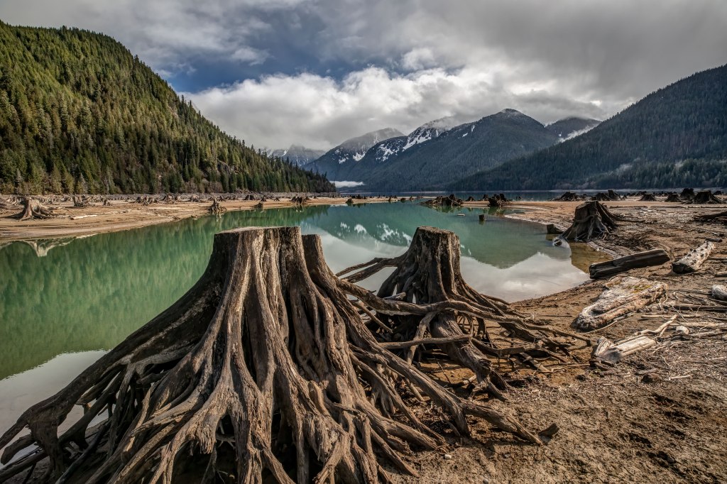
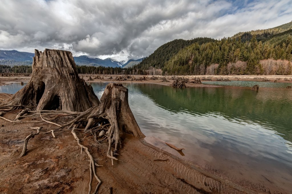
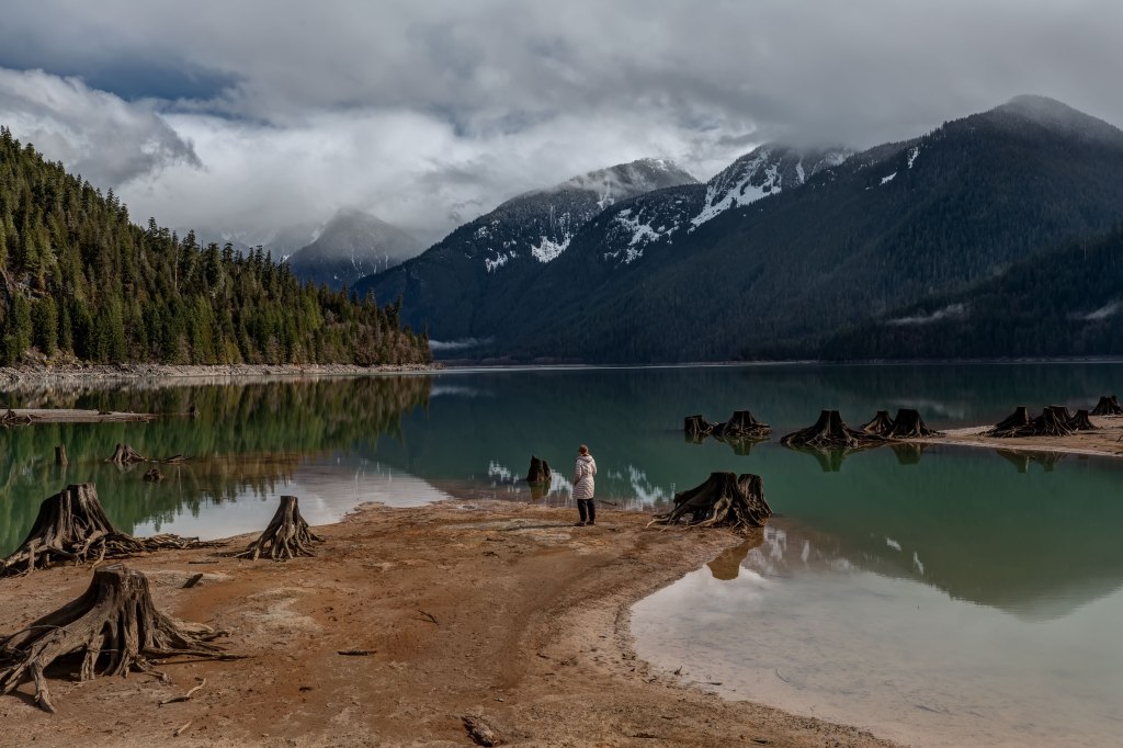
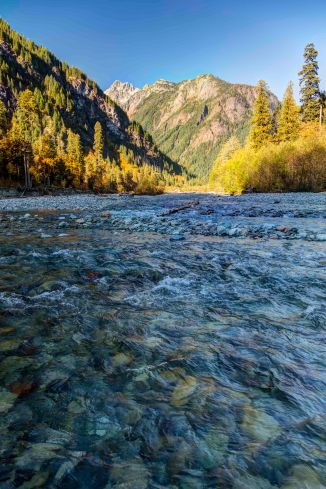
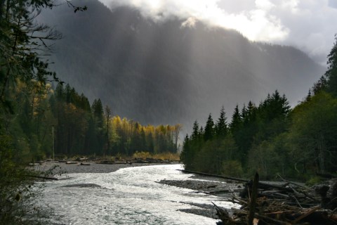
The Baker River drains the west side of the North Cascades range, merging with the Skagit River near Concrete.

There are two dams on the river, creating Baker Lake and Lake Shannon.

The Baker Lake Road extends 25 miles North from Highway 20 ending in a parking area along side Baker River. There are trails along the Baker River and around the lake.

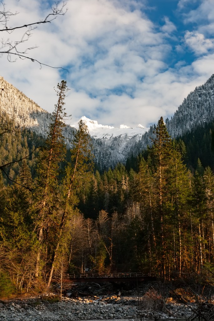
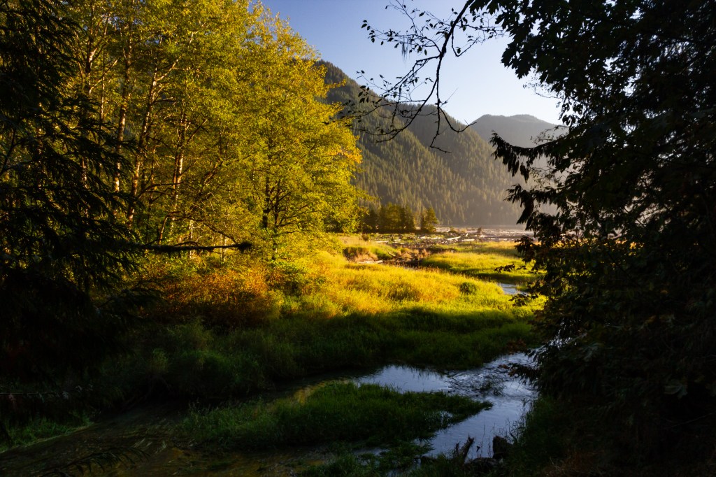
I’ve been visiting Baker River for 20 years, been there in every season and weather condition. Here are a few images!

Please visit AndyPorterImages.com for info on classes and prints!

North Cascades Photography – Baker River

North Cascades Photography – Baker River

The Baker River drains an area of 270 square miles in a complex of deep valleys partially inside North Cascades National Park.

Access is year-round via the Baker Lake Road. To get there travel east from Sedro-Woolley on Highway 20 about 15 miles. Baker Lake Road is well marked, its about 26 miles (20 paved, 6 gravel) from Highway 20 to the end of the road at the parking area for the Baker River Trail.

Baker River makes a great destination for anyone traveling along the Cascade Loop. There are great hikes, camping, boating and more along Baker Lake!

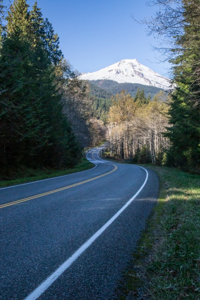
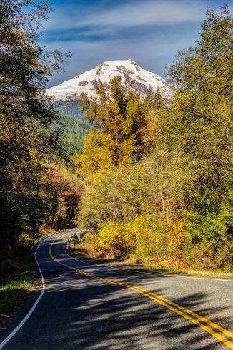
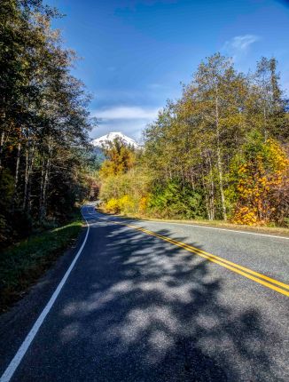
Along the way there are some wonderful views of Mt Baker.

At the end of the road there is a large parking area with rest rooms. You MUST have NW Forest Service Parking Pass to park there! You can buy one in Sedro-Woolley and sometimes at the gas stations along Highway 20, near the intersection with Baker Lake Rd.

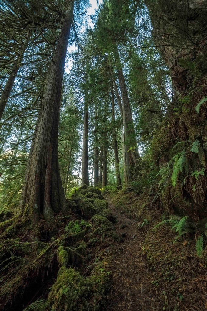
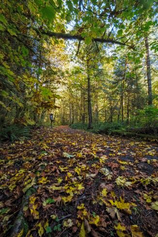
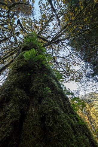
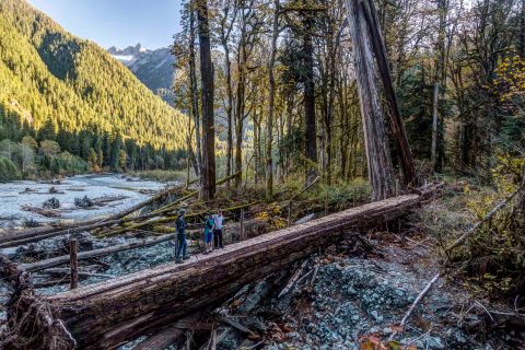
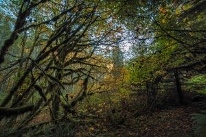
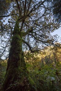
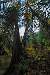
Most of the trails in the North Cascades involve going up and down a lot. Seems like mostly up… But the Baker River Trail gently meanders its way along the river. There are some wonderful old-growth trees along the way.

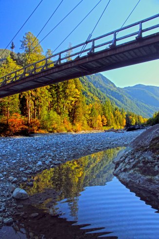
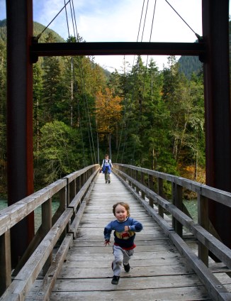
About a quarter mile from the parking area there is a junction with the Baker Lake Trail. This trail crosses the big suspension bridge and heads back south, along the east side of Baker River and then Baker Lake.

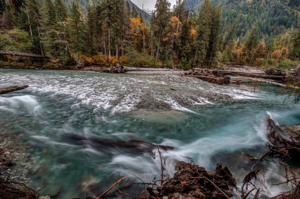
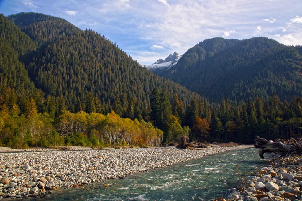
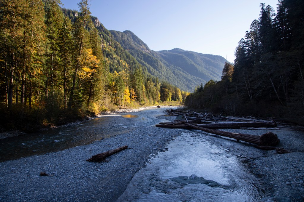
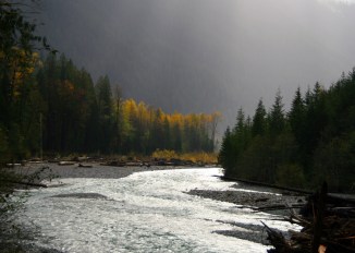
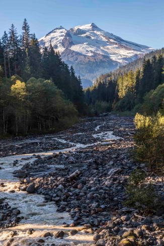
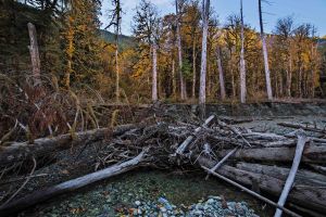
The Baker River Trail continues alongside of the river. Here and there are a few spots where you can scramble down to the gravel bars.

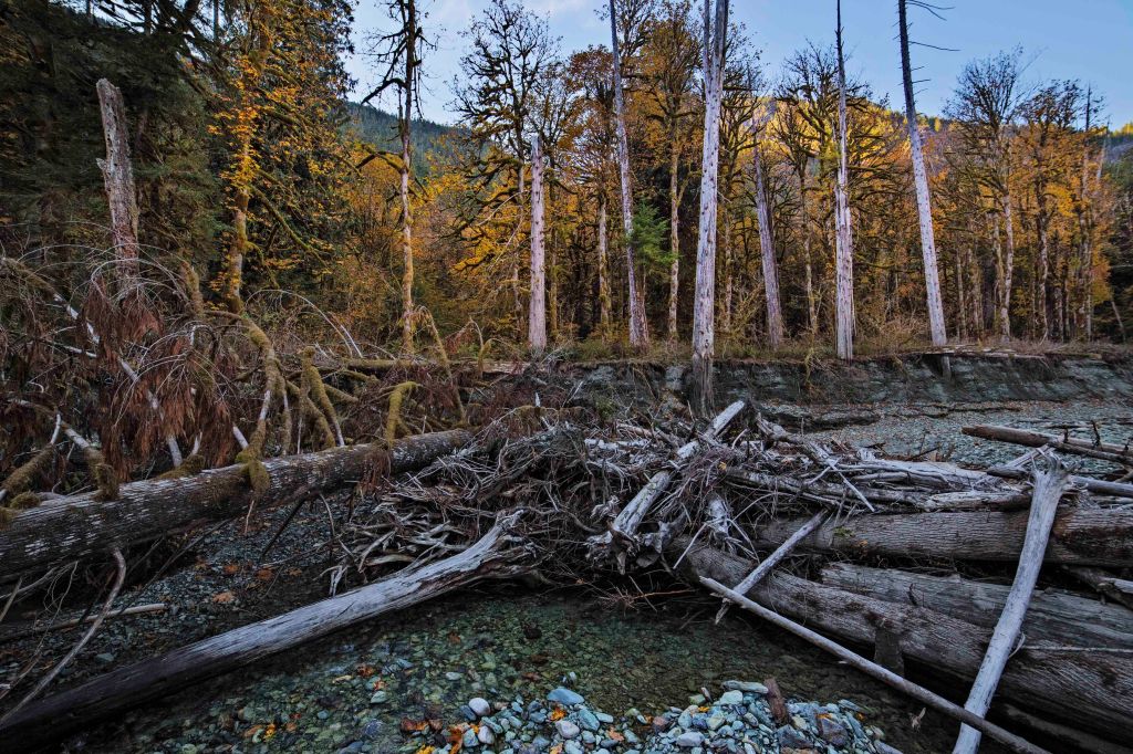
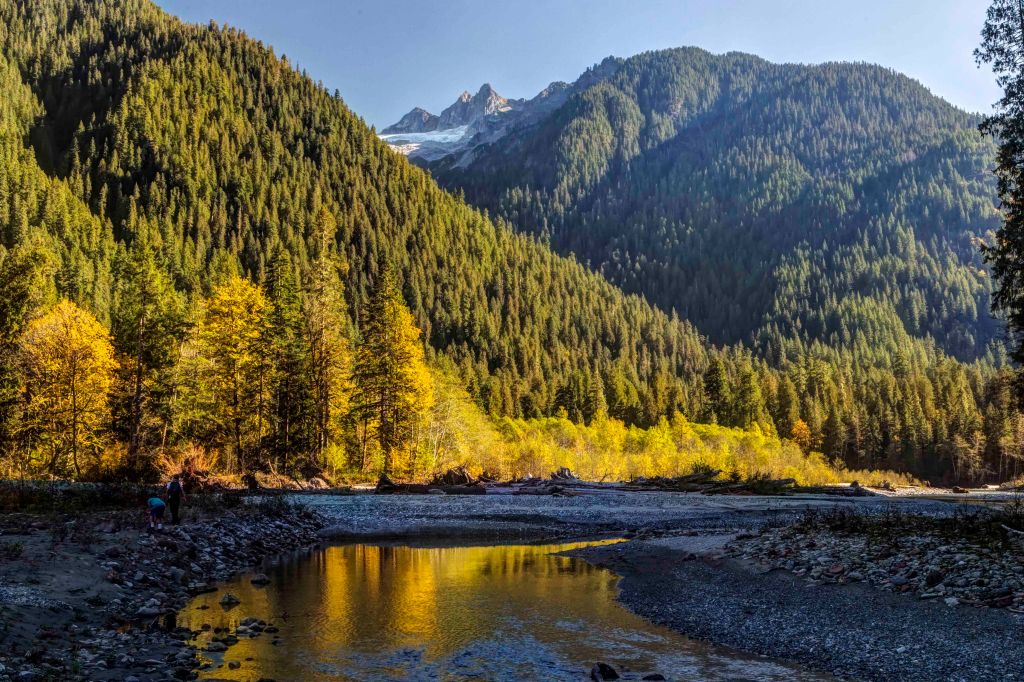
Each year spring floods carve a new path. There is good camping, out in the open with views of Hagan Mtn and Ragged Ridge to the north.

Any season or weather is good for a hike here.

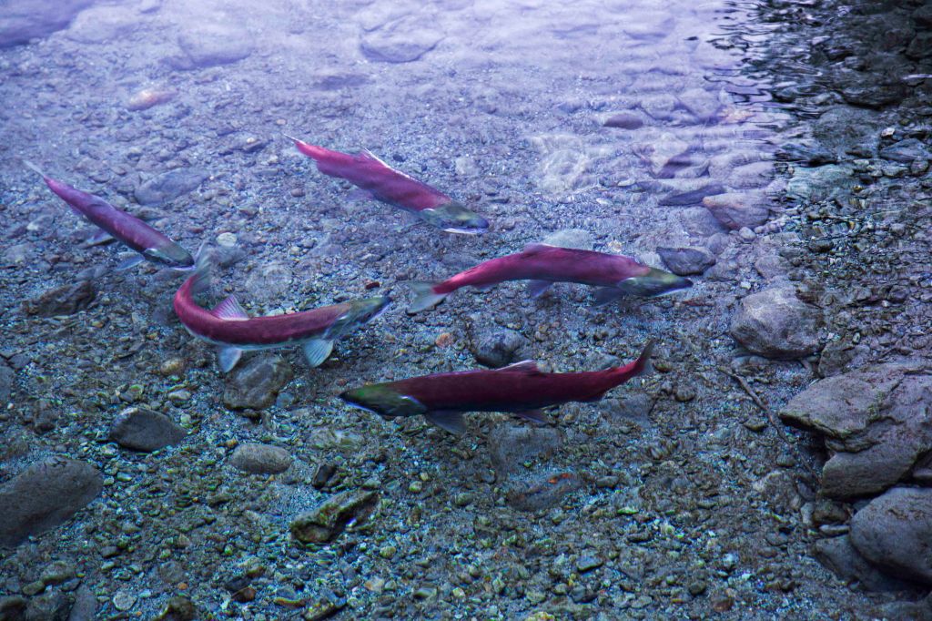
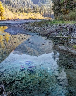
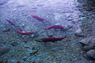
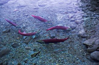
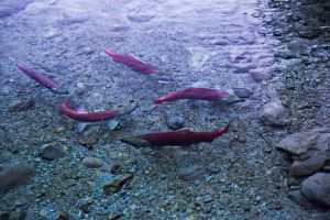
Fall can be spectacular along the Baker River. Often the side channels are filled with salmon.

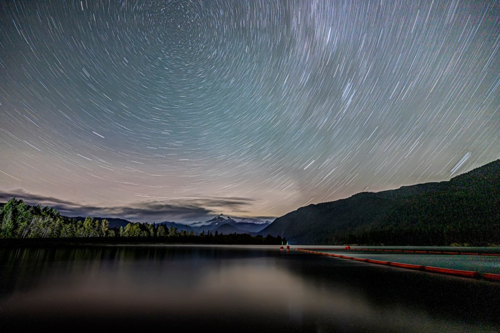
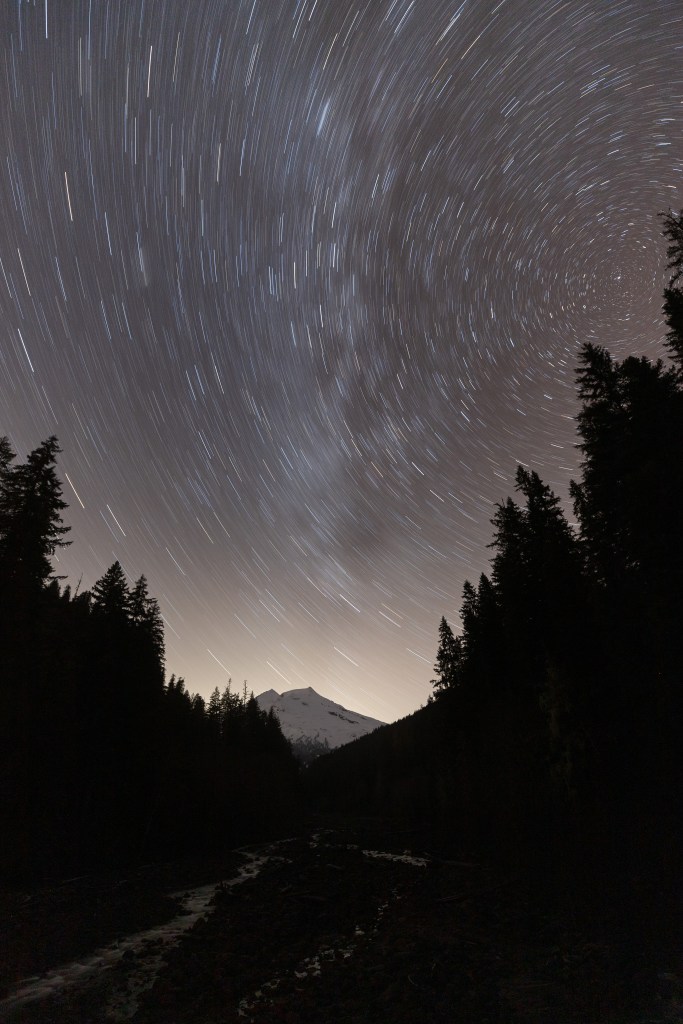
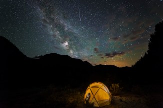
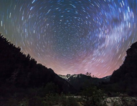
I have camped on the gravel bars many times and have found that its a great place for night sky images. If you can manage to get both no moon and no clouds, the Baker River provides some wonderful south facing views. Here are a few.

If you’re interested in a guided photo tour of the North Cascades, here is the link:  North Cascades Photo Tours

Autumn Colors along the Baker River

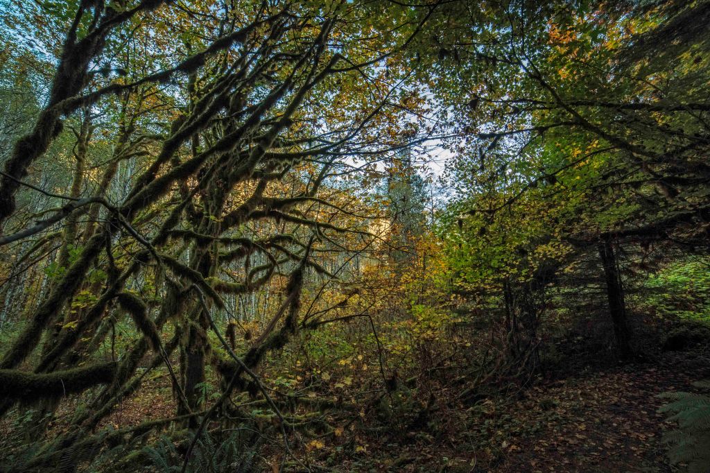
In October the North Cascades change color. The autumn colors along the Baker River are magnificent.

Depending upon the year the river is filled with salmon in October.

The views of Mount Baker from the Baker Lake road are not too bad…

Everything about a hike along the river on a fall day is perfect, the temperature, the lack of bugs, the late fall-afternoon light, the leaves, the colors, the smells…I could go on and on…

The trail starts at the end of the Baker Lake Road. Here is the link with the details.

Be sure to have a Northwest Forest Pass to park at the trailhead. You can get one in Sedro-Woolley at the Chamber Office on Metcalf Street and at the North Cascades National Park / Mount Baker-Snoqualmie National Forest Office on Highway 20 in Sedro-Woolley.

Star Trails

Here are my first two efforts at star trails.

This image is from Friday night, at the Diablo Overlook, along Highway 20 in the North Cascades National Park

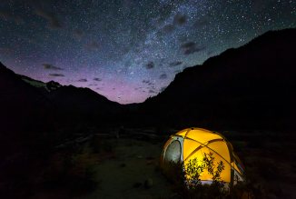
and this image was captured on Sunday night, along the Baker River in the Mount Baker Snoqualmie National Forest.

The next new moon is June 23rd…I will be teaching a class on Night Sky Photography through the North Cascades Institute on Friday, June 23rd, details here.

OR if you’d like to go on a Night Sky Photo Tour, have a look here.

Green Trails Maps

GTMAdCopy1_8x10_ExpoGreen Trails Maps has created a new ad campaign using one of my images!

This image was taken last June, using a Canon 6D with a Rokinon 14mm lens.

I planned the trip location, we went on the New Moon and were lucky with very few clouds.

I asked the boys to save some I-Pad battery for night time and when it got dark got them to pose inside the tent.

The shutter speed was 30 seconds, and while the exposure was going I had them sit “still” and turn their device on (for one second) and then off so as to lighten their faces.

Baker River Trail – Fall Colors

The Baker River Trail is at its best in the fall. The cool, clean, crisp air refresh your mind while the bright colors enliven the soul.

The trail is easy to get to, just follow the Baker Lake Road north from Highway 20 to its end (You need a NW Forest Pass to park). The trail starts right there and meanders along the west side of the river. The leaves on the ground create a magic carpet for your feet.

You’ll pass some huge grand trees, actually not just trees but patriarchs of the forest, old wise creatures standing guard over the River.

After only a quarter mile there is a suspension bridge spanning the azure waters. Go out on the span for wonderful views downstream as the river bends and the late afternoon light illuminates the colors on the east bank.

Continuing along your path the trail approaches the river at several points where you can easily scramble down 5 or 6 feet of embankment out on to gravel bars affording magnificent views of the wild river. Fall brings salmon to spawn and you can see their bright red bodies darting and splashing.

But don’t take my word for it, go see for yourself!

If you’d like to go on a Guided Fall Photo Tour, here are all the details!