North Cascades Photography – Introduction

Welcome to North Cascades Photography

Each week we will visit some place in the North Cascades. The best camp sites; day hikes and overnight trips; lookout towers, the best locations for sunrises, sunsets and night sky imaging. Whether you’re into a week long trip, or the best place for a drive-in view, I will cover  the best times to go and How To Tips ranging from How to set exposure for a shot of the Milky Way to Where to see Mountain Goats? 

Introduction

My fascination with the North Cascades started with a map.

In 1976 one of my friends read the Nat Geo article about a through hiker on the PCT. Several of us had recently finished a month long Outward Bound program in the Sawtooths, backpacking and rock climbing and we were excited for a new adventure.
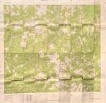
I still have the map, from 1976

A few glances at the images and I was sending away for maps. When they finally arrived in the mail I poured over them, tracing the PCT and looking at the terrain.

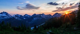
Pacific Crest Trail, Pasayten Wilderness

It was the first time I’d heard of places like the Pasayten Wilderness and Crater Lake. At that time there was little to read about the trail, most of the planning for a thru hike was up to you.

When you study a map, planning mileage, elevation gain and water sources you try to envision the place. There were more then 20 maps for Washington and Oregon I sorted through, tracing the PCT and making plans. The place I was most captivated with, the most excited about visiting was the North Cascades. I wanted to see the Picket Range and hike over Whatcom Pass.

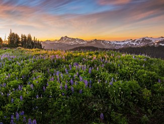
Mt Adams and Pacific Crest Trail, Goat Rocks Wilderness

First of all, it was clearly the most rugged section. There were other sections with higher summits, like Mt Rainier and Mt Adams.

But these giant peaks were surrounded by much smaller mountains. The North Cascades boasted the greatest density of topographical map lines. I imagined wave after wave of serrated ridges; steep U-shaped valleys, cloaked in green and mantled with glaciers. The names of the places fueled my imagination: Mount Terror and Mount Fury, Desolation Peak, Diablo Lake and Forbidden Peak were just a few. I couldn’t wait to get there. The only problem was that it wasn’t the easiest place to get to!

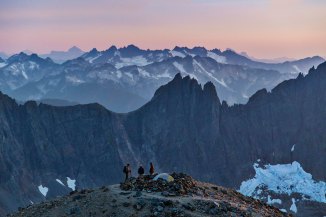
Sunset at Sahale Camp, North Cascades National Park

In the end we decided to hike the PCT through Oregon.  We hitchhiked from eastern Pennsylvania to Cascade Locks, Oregon, along the Columbia River and started our journey south.

My travels led me to many places, decades passed. But the allure and wonder of this place I’d never seen stuck with me.


Sahale Camp

It was 30 years before I made it back to see the places I’d dreamed of: Copper Ridge and the Chilliwack River, Mt Challenger and the Pickets…

I feel privileged to be able to see such things and humbled trying to capture some part of it in an image.

Now I live along the North Cascades Highway. Living on the doorstep of the mountains makes it easy to visit often. I truly feel at home.

Each week North Cascades Photography will visit some place in the North Cascades and share info on the best trails, camp sites, day hikes, long hikes, drive-in vistas, locations for Night Sky imaging and of course lots and lots of images.

You can always find out more about Trips, Classes, Photo Tours and more at my web site, AndyPorterImages.com

Next: The North Cascades Highway
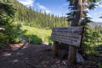
Welcome to the North Cascades


Jackita Ridge Trail, Devil’s Dome and the Three Fools Trail

One of the most fabulous backpacking loops I have ever done was in the Pasayten Wilderness.

We began at Canyon Creek trailhead, along Highway 20, hiked up the Jackita Ridge Trail, visited Devils Dome, then connected with the Pacific Crest Trail at Holman Pass and headed north. At Castle Pass we took the Three Fools Trail west, to Ross Lake, where we got the water taxi to Ross Dam and hitchhiked back home.

Here are a few pics from the trip.

Sunset atop Devils Dome, Pasayten Wilderness, North Cascades

Sunset atop Devils Dome, Pasayten Wilderness, North Cascades

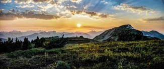
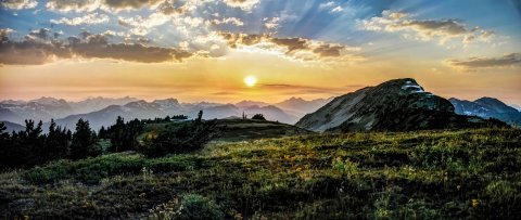
This first one is a sunset from atop Devils Dome. We spent the night there, (08/08/08) and were observers of a spectacle of lightning storms that swept through that night, starting innumerable fires throughout the park. Like three fools we stayed there, atop the Devils Dome, mouths agape, as the night sky erupted and just watched.


Jack Mountain from Devils Dome, Pasayten Wilderness, North Cascades

Jack Mountain from Devils Dome, Pasayten Wilderness, North Cascades

This is Jack Mountain, from Devils Dome.  Hiking in the Pasayten Wilderness is wonderful, lots of views and flowers.

Cascade Crest from Jackita Ridge Trail, Pasayten Wilderness

Cascade Crest from Jackita Ridge Trail, Pasayten Wilderness

This was taken from the Jackita Ridge Trail, looking west – southwest. That long green meadow inviting you is Devils Garden.

Here is another view from the trail.

Jack Mountain, Pasayten Wilderness

Jack Mountain, Pasayten Wilderness

After Devils Dome we made our way to Holman Pass where we intersected the PCT and turned north. The image on the right is from a glorious meadow (with a spring) just before Rock Pass. And the Double Rainbows is at Rock Pass looking north. That’s Lakeview Ridge stretching to the distance.

The wildflowers are all over (assuming you’re there at the right time!)

The Three Fools Trail was a struggle. It hadn’t been maintained in more that a decade, there were more than 200 down trees between Elbow Basin and Three Fools Creek…it was brutal!

The sunsets, however, were magnificent. This is from Elbow Basin.

The Three Fools Trail lived up to its hype: Stunning scenery, no one to be seen anywhere and you’d have to be a fool to try!


Big Face Mountain from the Three Fools Trail, Pasayten Wilderness

Big Face Mountain from the Three Fools Trail, Pasayten Wilderness

Here is Big Face Mountain from the trail.


Ross Lake from the Lightning Creek Trail, North Cascades National Park

Ross Lake from the Lightning Creek Trail, North Cascades National Park

and lastly, Ross Lake, from the Lightning Creek Trail.

That was my first visit to the section of the PCT from Holman Pass, north to the border with Canada. I have revisited several times, access is not bad, at Slate Peak. You can park at a junction with the PCT, at 7,000 ft elevation to start your hike!

The views along Lakeview Ridge are to die for…that will be the subject of the next post!

Oh, the hitchhiking home part: When we debarked the water taxi and hiked up to Highway 20 we were more than a bit surprised to see hordes of cops. Not just regular ones, Border Patrol, guys in kevlar with nasty weapons, the place was swarming with them!

Eventually one of the cops came over to ID us sketchy looking hitchhikers and being polite and all the cop arranged a ride for us home. It turned out that a Park Employee had stumbled upon a huge marijuana farm, right there, near Ross Lake! So they came up with the swat team and got boats and went to raid the pot farm, but by the time they got there, the farmers had fled to parts unknown…

Night Sky Imaging at Beacon Rock, Jan. 2019

Beacon Rock State Park is located along the Columbia River, on the Washington side. Its not far from the Bridge of the Gods and Cascade Locks.

I visited once and walked to the top. Its quite something. I have no idea what its like, photographically; which seasons, times and conditions are best. But the next New Moon is Jan 5th, 2019.

My plan is to shoot night sky images at Beacon Rock State Park on Jan 4th and 5th.

The good thing about shooting night sky in January is that its dark early; you don’t have to stay up to 1am to see anything. Its as dark as its going to get by 8 or 9pm, latest.

I am offering Night Sky Photo Tours to anyone who wants to make the drive down there. The cost is $150 per person. Payment is due day of the tour, prepayment or deposits are not needed.

Details about Night Sky Photo Tours here.

If you’re interested in Beacon Rock Jan 4th and/or 5th, 2019, email me at andyporterphotography@gmail.com and I can answer any questions.

Old Tulip Pics

There images are all from one days visits to the tulip fields, in 2015.

Every year the location of the tulip fields change. In 2015 there were very large fields of different color flowers, located near a barn, off of Best Road. It was a wonderful location, there were many trees, farm equipment, standing water, and of course the barn!

I visited the tulip fields for photos 18 times in 2015! All of these images are from one trip.

I just love the petals in the mud…

Its right about this time each year that I start to think about things like sunshine and warm, and flowers…not sure why!

Andy Porter Images 2019 Calendar

The Andy Porter Images 2019 Calendar is available now and ready to ship! 13 stunning images of Washington State, from the Olympic Peninsula to the Enchantments these images are certain to brighten your day.

The calendar is printed on 8.5″ x 11″ 100lb Bond Glossy paper, ring bound and individually wrapped.

Cost is $20, with $6 shipping in the US, $12 to ship anywhere in the world.

Here are the images from the 2019 Calendar. And here is the LINK TO ORDER YOUR COPY

Here is the link to order your copy today.

All orders ship out in 24 hours!

2019 Washington State Scenic Calendar

The 2019 Washington State Scenic Calendar is available now and ready to ship!

The calendar is printed on 8.5″ x 11″ 100lb Bond Glossy paper, ring bound and individually wrapped.

Cost is $20, with $6 shipping in the US, $12 to ship anywhere in the world.

Here are the images from the 2019 Calendar. And here is the LINK TO ORDER YOUR COPY

Here is the link to order your copy today.

All orders ship out in 24 hours!

Autumn Colors along the Baker River

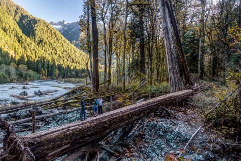
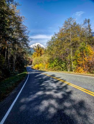
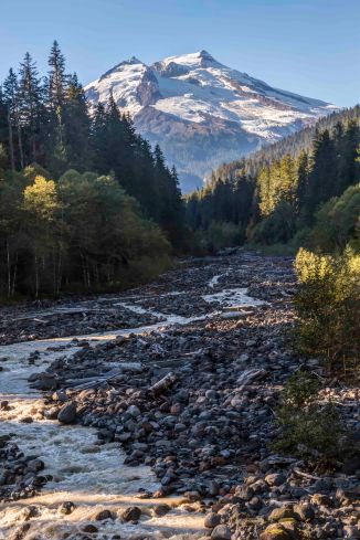
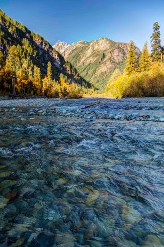
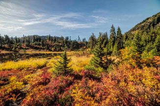
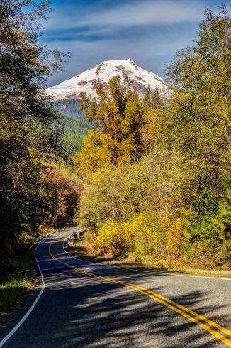
In October the North Cascades change color. The autumn colors along the Baker River are magnificent.

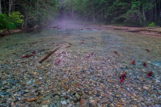
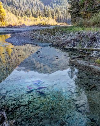
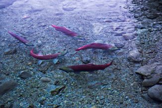
Depending upon the year the river is filled with salmon in October.

The views of Mount Baker from the Baker Lake road are not too bad…

Everything about a hike along the river on a fall day is perfect, the temperature, the lack of bugs, the late fall-afternoon light, the leaves, the colors, the smells…I could go on and on…

The trail starts at the end of the Baker Lake Road. Here is the link with the details.

Be sure to have a Northwest Forest Pass to park at the trailhead. You can get one in Sedro-Woolley at the Chamber Office on Metcalf Street and at the North Cascades National Park / Mount Baker-Snoqualmie National Forest Office on Highway 20 in Sedro-Woolley.

Field Trip to Artist Point

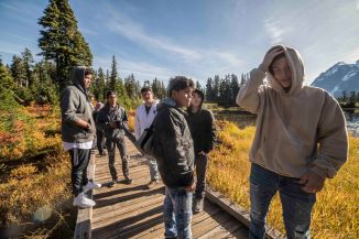
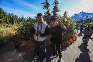
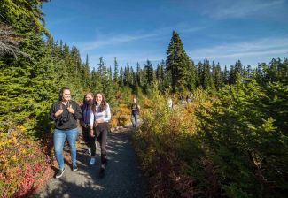
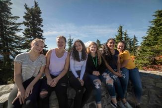
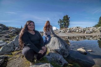
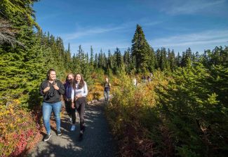
Last Thursday I took 47 students on a field trip to Artist Point. It was awesome!

Artist Point is the coolest place you can drive a car here in our state, and on a fall day with nice weather its unforgettable. Located at the end of the Mount Baker Highway, at more than 5,000 feet elevation) Artist Point is right between Mount Baker and Mount Shuksan.

The weather was perfect and we had a blast. Most of the kids had never been to Artist Point before, in fact many had never been in the mountains until today!

Just the bus ride up the switch backs at the end of the highway was breath taking…

This all started with Career Day; I was invited to the Burlington Edison High School to present what life is like for a professional photographer. I came and did the talk twice and the photo teacher started to recruit me, he was retiring soon and suggested I take his spot.

So now I am the Photography Teacher at the Burlington Edison High School! This is my 3rd year. I have a full schedule of Photography Classes, this semester I have about 165 students.

The school has about 40 Canon Rebel DSLRs; a wide selection of lenses, studio lights, Photoshop… so I can teach the students to take and edit cool pics. And field trips!

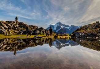
We stopped at Picture Lake for some shots of Mt Shuksan…

Often I go on a field trip and take few images, spending most time advising, but the light and setting was so stunning that managed to snap a few pics…

Picture Lake is right in the middle of the two ski areas. From there we drove up to the end of the highway, at Artist Point

Our next Field Trip adventure is Oct. 16th and I cant wait!


Happy 50th Birthday, North Cascades National Park

Fifty years ago, on October 2, 1967, the North Cascades National Park was created.

Happy Birthday!

Diablo Overlook Panorama

From the first time I laid eyes on a map of the North Cascades I was captivated. The names of the peaks drew me in; Mt. Terror, Desolation Peak, Mount Fury. And then I saw a few pictures. The North Cascades looked like I thought mountains should look: deep dark forests, lush with life; sharp serrated peaks, ridge, after ridge, stretching to the horizon, donned with glaciers, spouting myriad waterfalls glistening in the sun….

My first visit was a mostly cloudy one. I hiked over Park Creek Pass from Stehekin. There were a few glimmers through the clouds of the majesty beyond.


It would be many years before I returned and tried again.

And I was able to confirm that indeed the North Cascades were everything I had dreamed of.

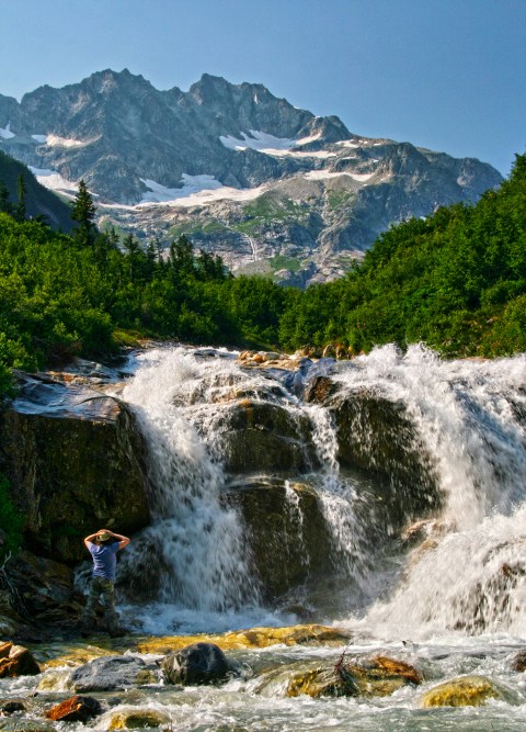
Lush forests and waterfalls

Sharp serrated peaks

Meadows and wildflowers…

and endless vistas

The North Cascades have not lost the feeling of wildness. For that I am grateful!

Happy Birthday, and Thank you, North Cascades National Park!


Wilderness

I was drawn to wilderness from the first time I saw images on some old 1960’s Wild Kingdom TV show. Things looked a bit sketchy out there. Like you were never exactly sure what would happen next.
That appealed to me.

Sahale Camp

I didn’t get very old before I figured out that most people seemed to live life in a straight jacket. Maybe it was created for them, or it could have been of their own making. But things looked so predictable and depressing.

Wilderness, was it a way out?

At 16 my mom got cancer and passed away rather suddenly. She was my stable person in the world. I was lost. 30 days on an Outward Bound program in the Sawtooth Mountains saved me.

The wilderness taught me strength.

Returning to civilization afterwards was…difficult.  I ran away soon after never to return home. There were rough times. When things got really bad I escaped to a wild place.

Wilderness gave me hope. My time there taught me that no matter what, things would be alright.

For a time I lived an idealists dream, thinking I was helping to save the world, only to end in bitter disappointment.

Sahale Camp

When that ended I was left with a hole in my soul bigger than the grand canyon. And it was Sahale Camp that saved me.

Wilderness taught me that you shouldn’t take things so fucking seriously.

I have dug myself in many holes in my relationships with others. I escaped to wilderness to find peace. Finally wilderness taught me some humility.

Sometime just knowing that there are wild places out there is the only thing that keeps me going.

There are times when I am deeply disappointed in humans and worried about the havoc they wreak. I worry about losing wild places.

Now I understand that wilderness is more than a place. Its a feeling, an attitude, a freedom, a willingness and a determination.

Deep down inside I know these are things I will never lose.