Mount Rainier National Park surrounds the entire mountain, but the thing is just so bloody big that you don’t have to be in the park for the mountain to fill the frame. These images were all taken quite a distance away, across White Pass and deep into the Goat Rocks Wilderness.
We entered the wilderness at Snow Grass Flats, hiked up to an intersection with the Pacific Crest Trail, and hiked north to the highest point along the PCT in Washington, a place called the Knifes Edge.
Photo Tour info is available here.
-
- Mt Rainier and Packwood Lake
-
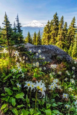
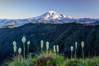
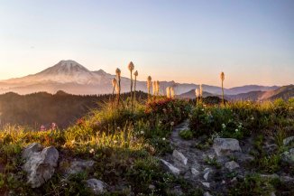
- Mt Rainier and Avalanche Lillies
-
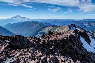
- Knife’s Edge. Pacific Crest Trail
-
- Mt Rainier
-

- Knife’s Edge. Pacific Crest Trail
-

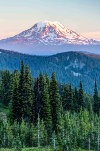
- Mt Rainier, from the PCT
-

- Mt Rainier, from the PCT
-
- Mt Rainier
-

- Mt Rainier
-
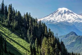
- Mt Rainier
-

- Mt Rainier, from the PCT
-

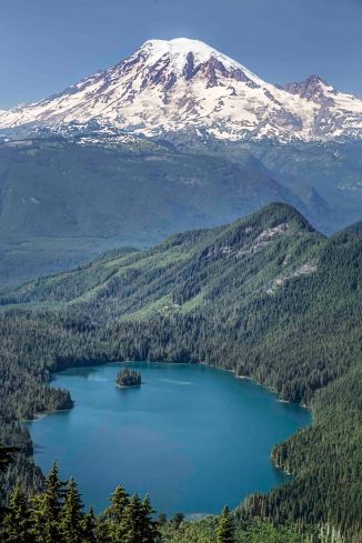
- Mt Rainier and Packwood Lake
-
- Mt Rainier
-

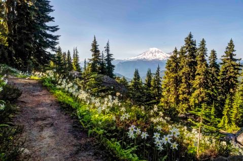
- Mt Rainier and Avalanche Lillies
