North Cascades Photography – North Cascades Highway

Welcome to North Cascades Photography

Each week we will visit some place in the North Cascades. The best camp sites; day hikes and overnight trips; lookout towers, the best locations for sunrises, sunsets and night sky imaging. Whether you’re into a week long trip, or the best place for a drive-in view, I will cover  the best times to go and How To Tips ranging from How to set exposure for the Milky Way to Where to see Mountain Goats? 

North Cascades Highway

The North Cascades Highway (Highway 20) follows the Skagit River from the Puget Sound deep into the mountains, reaching its highest point at Washington Pass, 100 miles east of I-5, before it drops down to the Methow Valley.

In winter (usually at the end of November) the highway is closed due to heavy snow. The highway is gated on the west side at milepost 134, east of Diablo, and on the east side at milepost 171, 14 miles west of Mazama. Reopening in the spring is usually accomplished by early May.

In Sedro-Woolley the National Park Service and Forest Service share an office, right along the highway. You can stop in for maps and parking passes. They can also give you all sorts of great advice about where to go, current conditions, and all that.

As you head east towards the mountains you’ll pass through Marblemount. If you are planning to camp over night on the North Cascades National Park, you’ll need a permit, and this is the place to get it, the Marblemount Wilderness Information Center. This is also the last town to resupply anything for about 70 miles, so fill up!

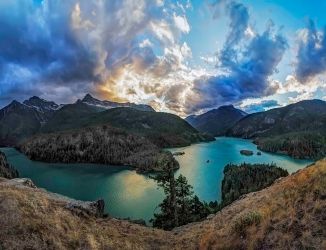
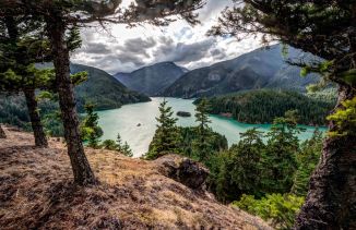
The Diablo Lake Overlook (milepost 132) is a wonderful vista point to stop when driving. There are rest rooms and lots of parking. The view is amazing: late afternoon is the best light.

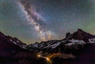
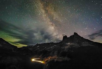
This is also a wonderful location for capturing images of the night sky.

Rainy Pass at 4,833 feet (milepost 157) is where the PCT crosses the North Cascades Highway. There are trailheads on either side of the highway:

  • On the north is the trail head for the Pacific Crest Trail, headed north to Cutthroat Pass and then onto Canada.
  • To the south the parking area is to access the Maple Pass – Lake Ann Loop trail (one of my favorites), and the paved Rainy Lake trail.

Lots more on these trails later!

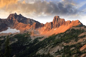
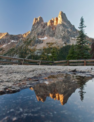
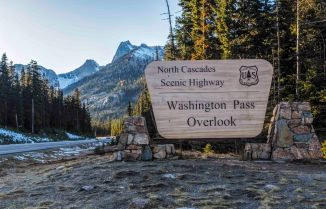
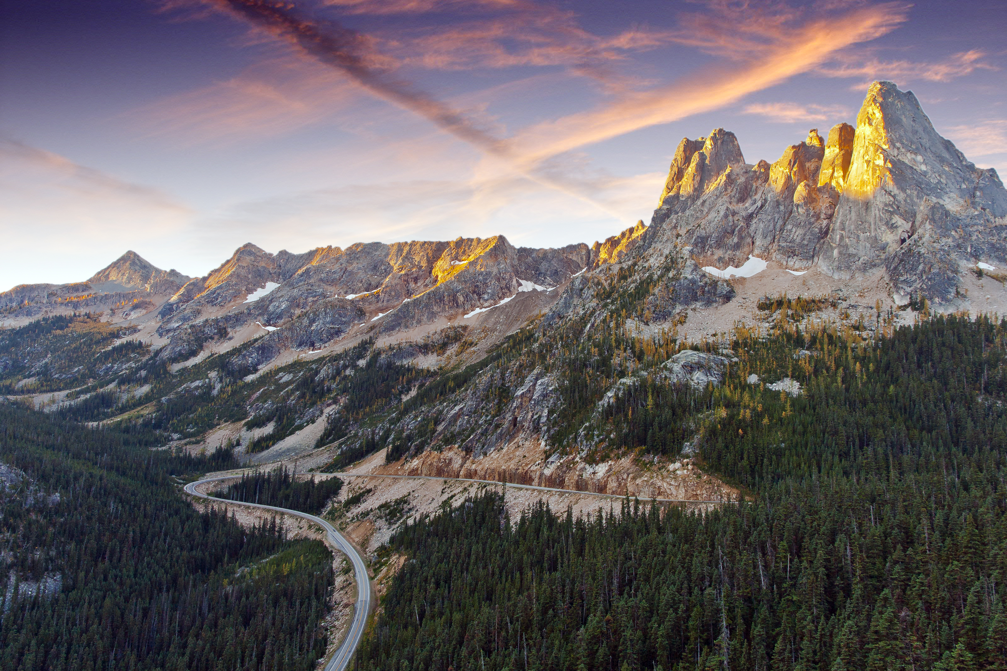
Washington Pass Overlook (milepost 163) is at the highest point along the highway, at 5,477 feet. There is a paved spur road to parking, restrooms and a pathway to the overlook. Liberty Bell is the massive slab towering above. Sunrise is the time for the best light on the peak.

The long curve of the highway below makes for some sweet shots at night. This is one of the best spots for capturing images of the Milky Way.

The North Cascades Highway is a part of the Cascade Loop Scenic Byway. This 440 mile loop crosses the Cascade Range twice and visits some of the most stunning scenery in the USA. Visit their web site to earn EVERYTHING you need to make your trip a huge success.
You can find out more about Classes, Prints, Photo Tours and more at my web site, AndyPorterImages.com

Next Week: Tips on Night Sky Photography

Lake Ann Maple Pass Loop

I hiked the Lake Ann Maple Pass Loop om Wednesday, Aug. 3rd. The wildflowers are almost at peak.

As always, a fantastic trip!


North Cascades Photo Tours and Prints

North Cascades Photo Tours and Prints

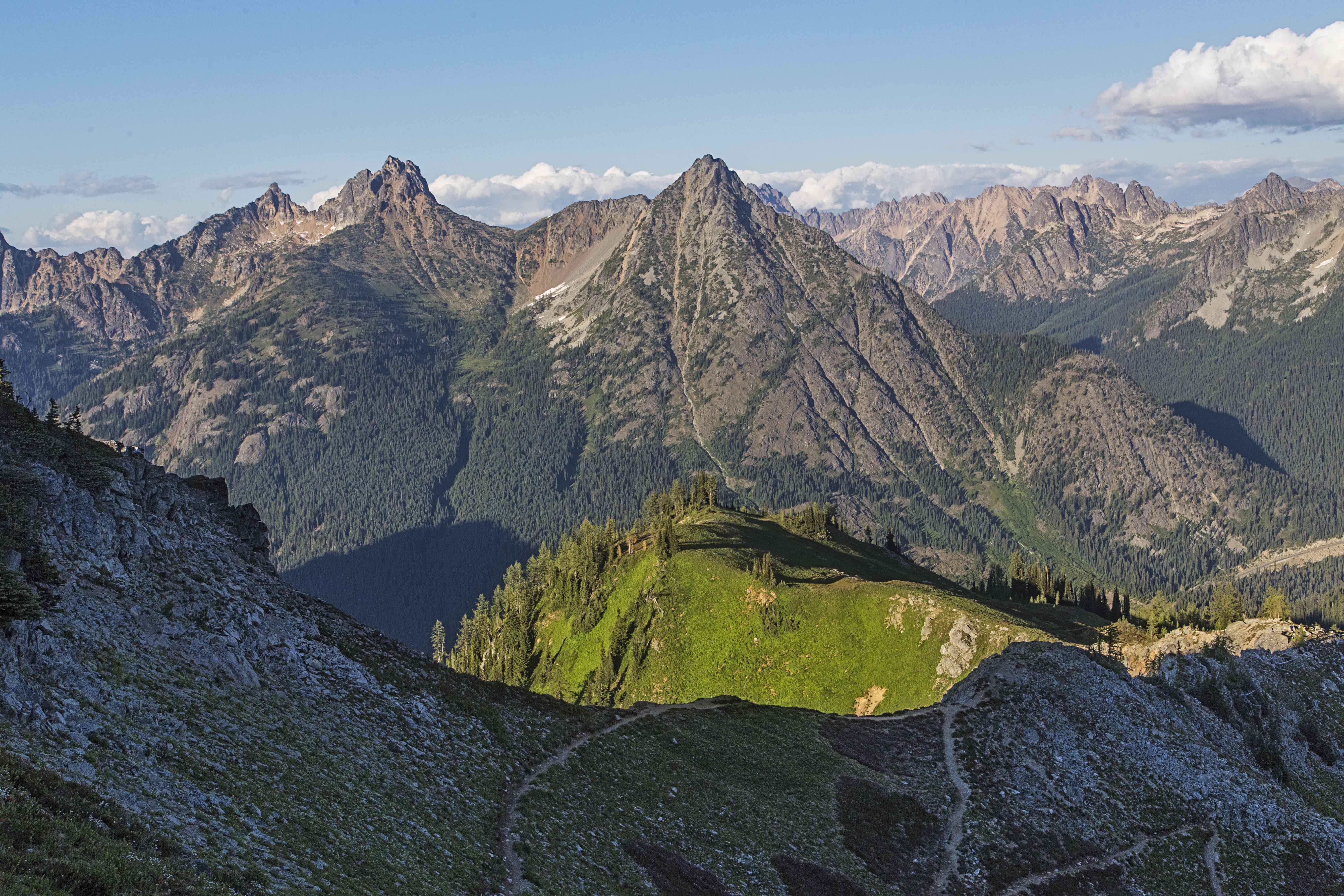
The North Cascade mountains in Washington State are rugged, lush, stark and colorful all at once.

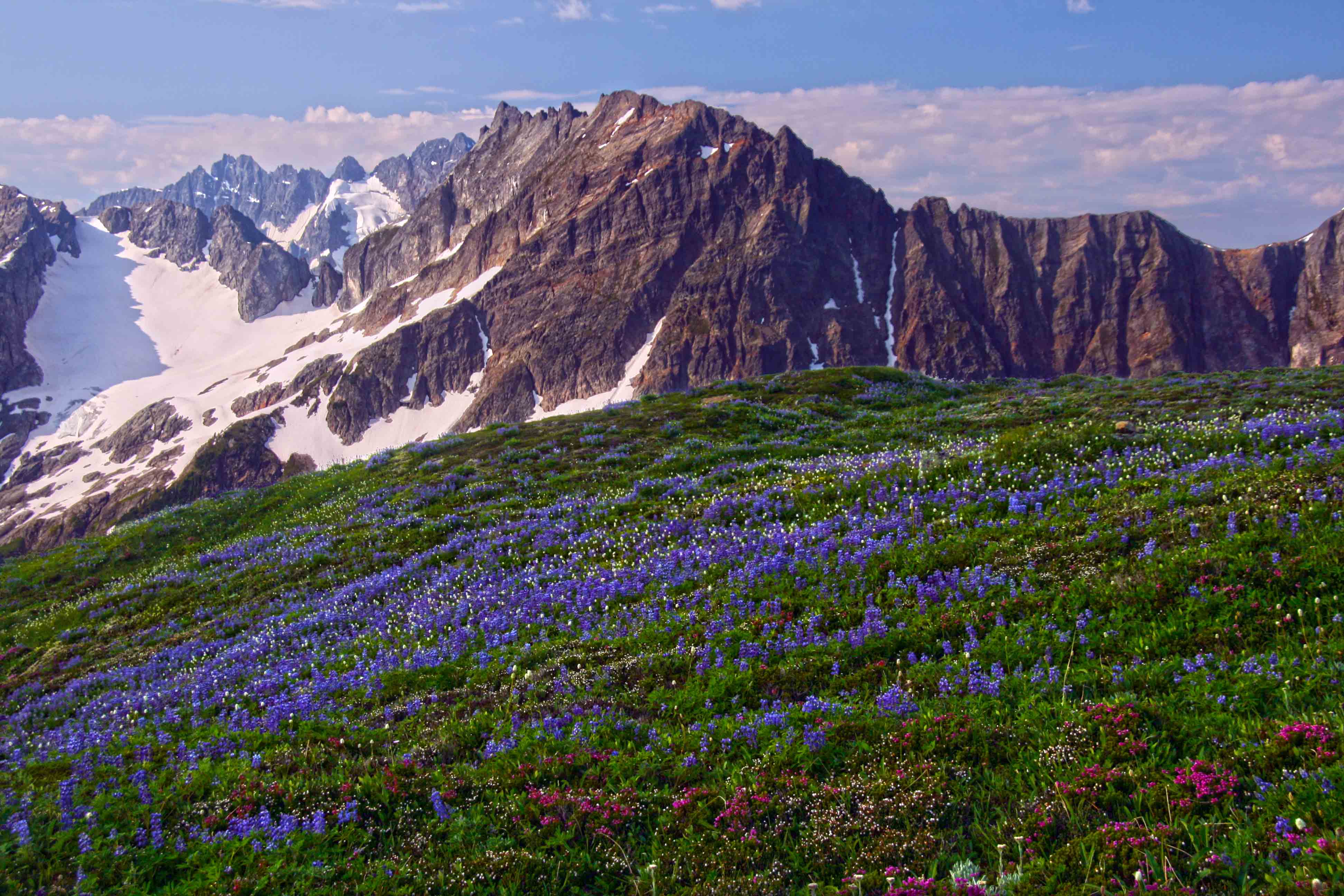
Lupine and the North Cascades

Lupine and the North Cascades

Abundant rainfall creates fantastic meadows filled with wild flowers while at the same time sculpting the ridges and peaks into serrated knives of stone.

The two main entry ways into the North Cascades are the North Cascades Highway (Hwy 20) and the Mount Baker Highway (Hwy 542)

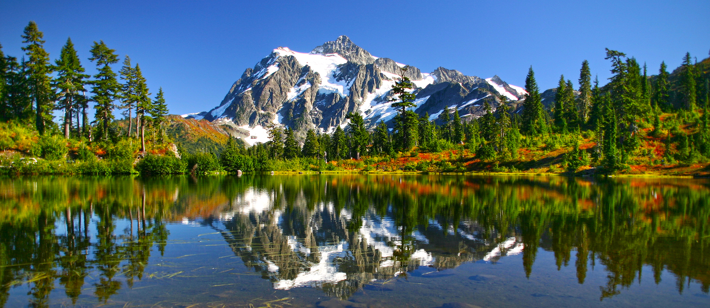
Mount Shuksan and Picture Lake, along the Mount Baker Highway

Mount Shuksan and Picture Lake, along the Mount Baker Highway

While there are a few places, such as Artist Point (located at the end of Hwy 542) and Washington Pass (the highest point along Hwy 20) where you can drive to see the scenery, most of the time a trip here involves hiking.

Liberty Bell from the North Cascades Highway

Liberty Bell from the North Cascades Highway

Along these two byways there are many side roads leading to trail heads that take you up (always up!) into the high country. There are so many trails and choices!

The North Cascades Highway (Hwy 20) is a part of the Cascade Loop Scenic Byway. This is the Best Road Trip Vacation in Washington State!

North Cascades Photo Prints

If you are interested in fantastic, colorful prints of the North Cascades to adorn your home or office here is a link to my North Cascades Gallery. There you can purchase Canvas Wrapped prints (framed prints are available) as well as Fine Art prints.

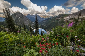
One of the most popular hikes along Highway 20 is the Lake Ann – Maple Pass Loop. This 7 mile hike visits Lake Ann, cupped amongst peaks snow and flowers and offers spectacular views of the nearby summits.

Maple Pass Trail

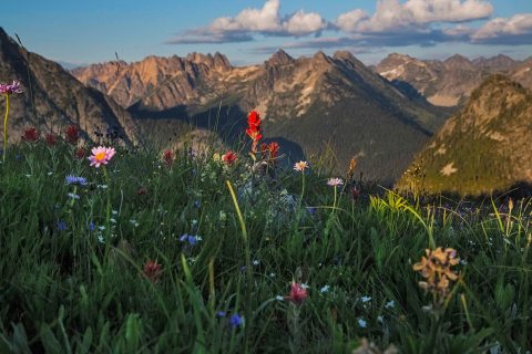
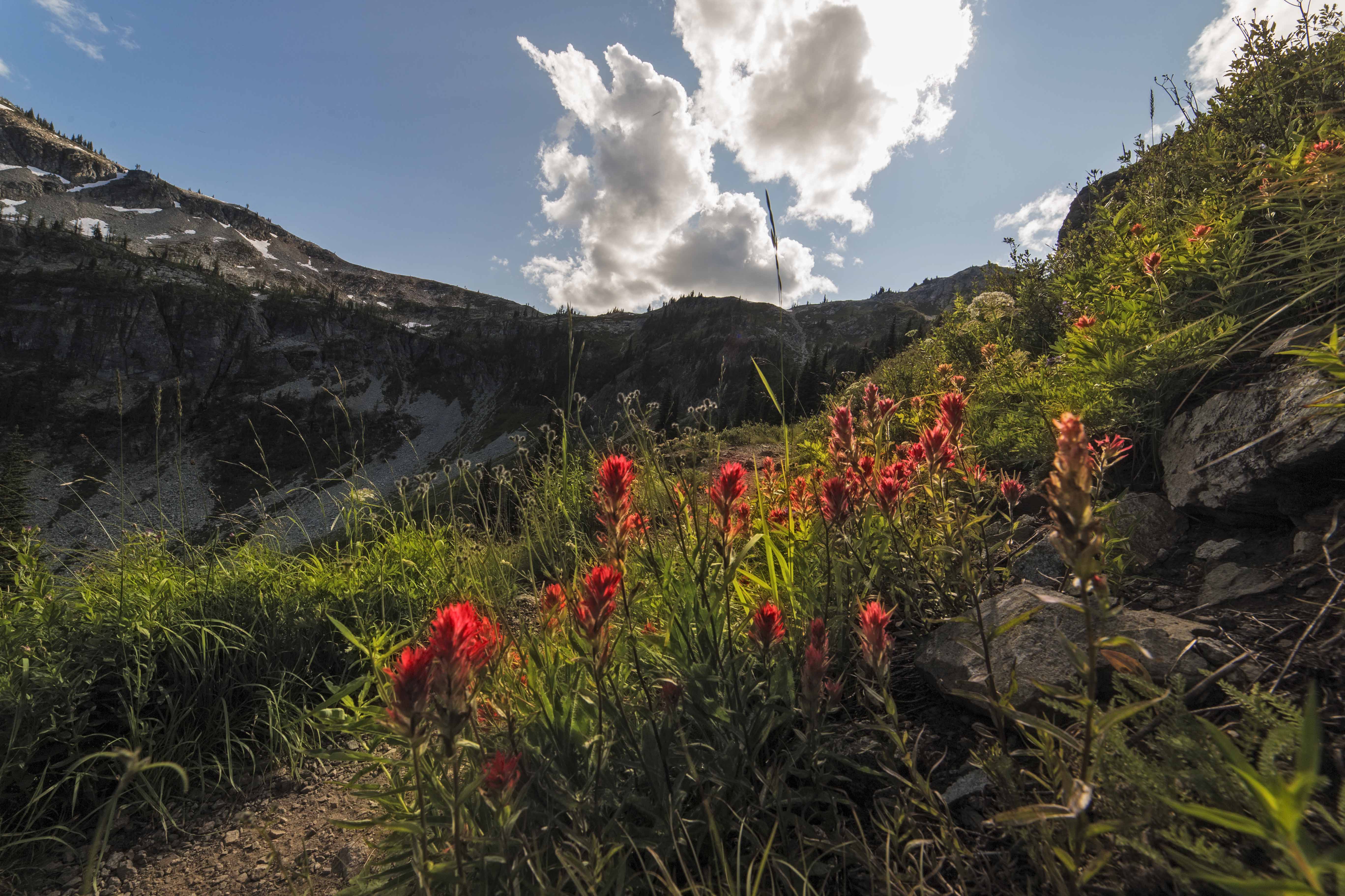
Wildflowers along the Lake Ann – Maple Pass Trail

North Cascades Photo Tours

This summer I am offering Guided Photo Tours of the North Cascades. We can pick a trail, based on your available time and venture into the mountains for some stunning scenery and photographic opportunities and/or training. Tours are available for both day hikes and overnight trips.

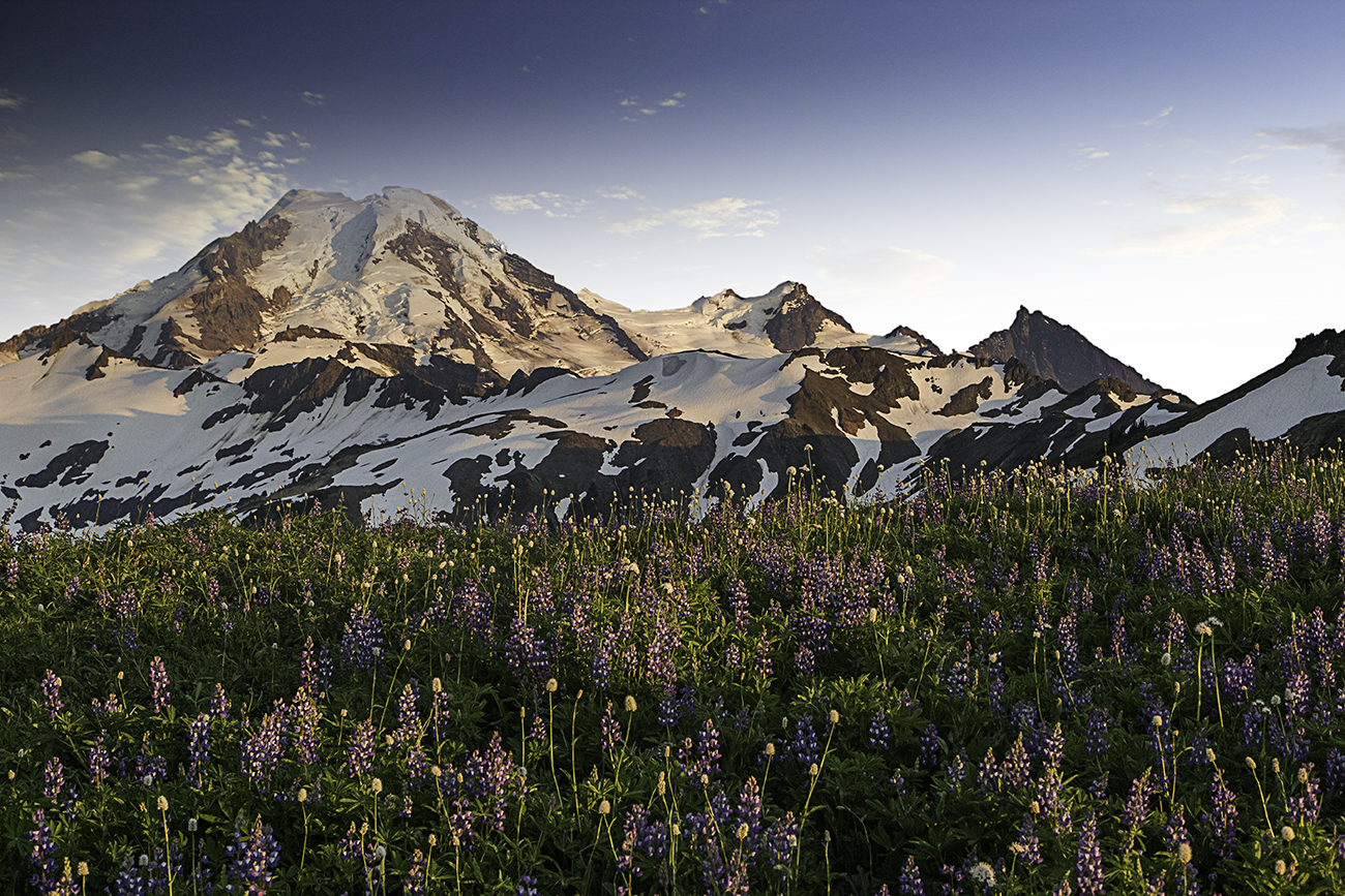
Skyline Divide is a trail reached from Highway 542. This trail leads up and onto a ridge carpeted with lupine, paintbrush and other flowers with grandstand views of Mount Baker, adorned with glaciers.

Mount Baker and Lupine from the Skyline Divide Trail

Mount Baker and Lupine from the Skyline Divide Trail


If you are looking for a guide book that catalogs most all of the North Cascades Trails, I recommend the book “Hiking the North Cascades” by Erik Molvar (Falcon Press). This book provides accurate info about each trail including mileage, elevation gain, and details of flora and fauna.


Another fabulous day hike is the Sauk Mountain Trail.

This trail is an easy(ish) hike up into the high country with smashing views of the Skagit Valley. Skagit Valley from Sauk Mountain

If you like a dash of solitude to go along with your mountain scenery then you’ll need to don a backpack and hike at least a day travel from the parking area. Here the crowds disappear and you have the place (mostly) to yourself.

Hiking along Sahale Arm

Hiking along Sahale Arm

In the next installment I will describe a few of the most stunning overnight and extended hikes in the North Cascades.

Trail along the North Fork, Bridge Creek

Trail along the North Fork, Bridge Creek


If capturing images of the Night Sky is your thing, check out our Night Sky Photo Tours and the Night Sky Photo Gallery!


Glow of Aurora Borealis

Glow of Aurora Borealis


North Cascades Hike: Lake Ann – Maple Pass Loop

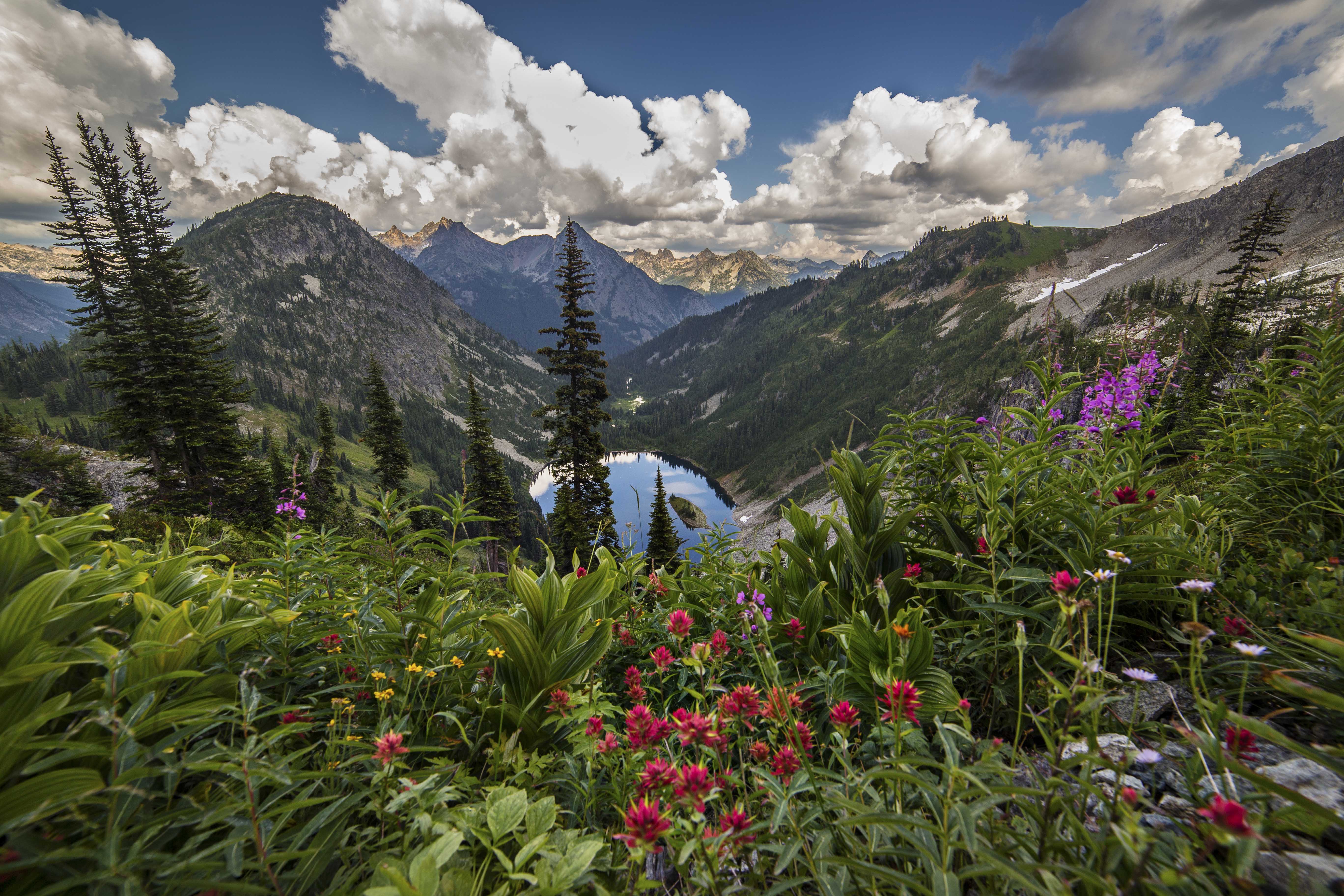
Lake Ann

Lake Ann

The feeling of exhilaration from being in the mountains is unsurpassed. Sweat and strain, fresh air and a cool breeze, a lake reflected and gathering clouds: these are all part of what makes the trip Great.

The Maple Pass Loop trail starts at Rainy Pass, on the North Cascades Highway. Ascending through the brush and out into the sun a first view whets your desire for more.

Swinging around the head of a small basin you soon plunge back into the cool forest.

Now the climbing becomes more insistent. The trail angles up along the side of a ridge and switchbacks heavenward. Lake Ann beckons below, her silvery waters calling.

Lake Ann from Maple Pass 2 2015

Heather Pass appears and you keep climbing, but now the wonder of the view cancels any thought of your body.

You are in the mountains!

The clouds invade the valley as you view the world from above. Its time to start heading down.

Clouds

Clouds

Bright colors, my favorite thing!

Flowers

Flowers

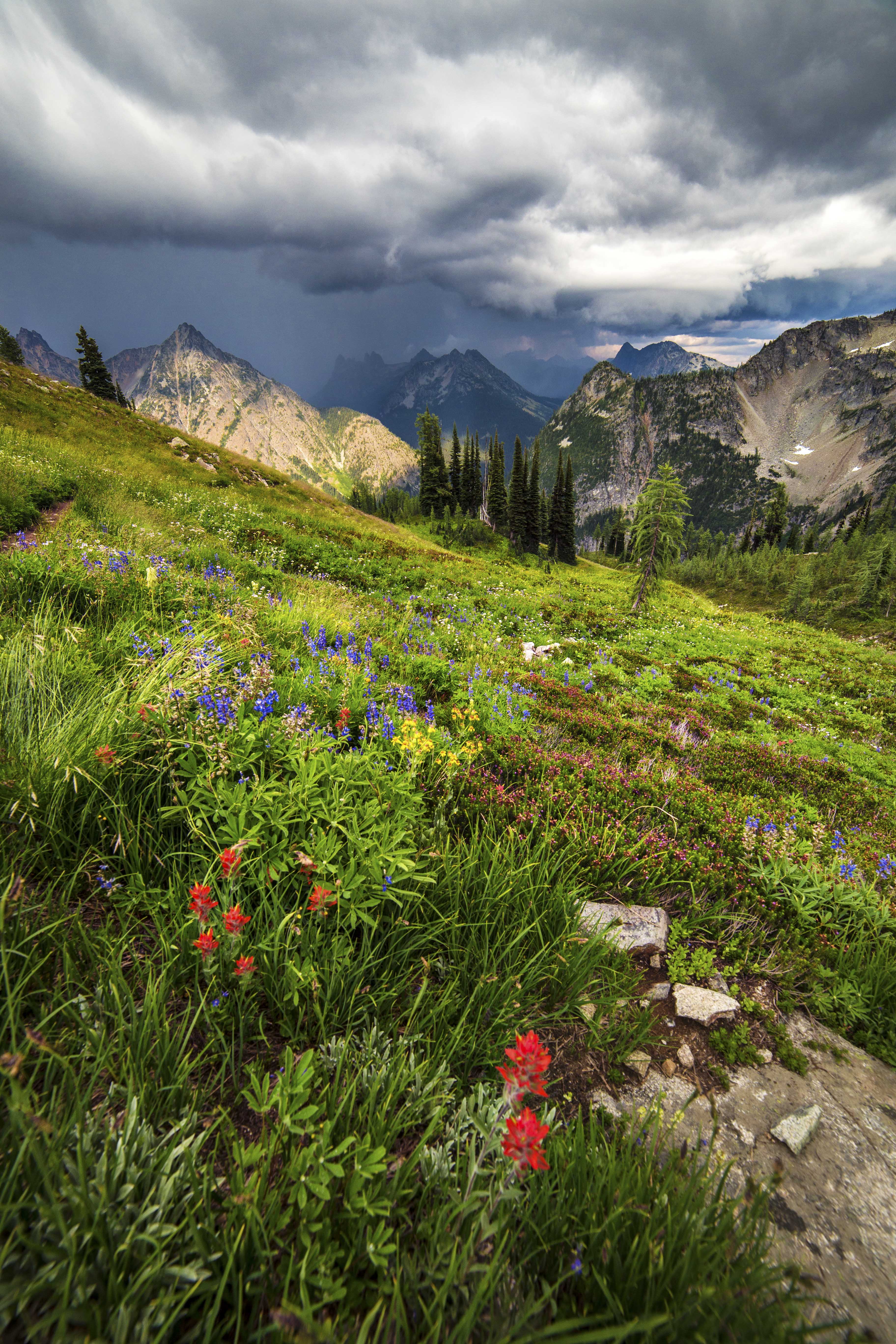
Its difficult to keep walking…despite the threatening skies, I just want to sit amid the flowers.

Darkening clouds

Darkening clouds

I see the skies opening in the near distance…

Meadows

Meadows

The thunder and lightening are not far off now.

This summer I am offering photo tours of the Maple Pass Loop.

And if you’d like a bold, bright canvas print of any of these images, here is where to go.