The Baker River drains the west side of the North Cascades range, merging with the Skagit River near Concrete.
There are two dams on the river, creating Baker Lake and Lake Shannon.
The Baker Lake Road extends 25 miles North from Highway 20 ending in a parking area along side Baker River. There are trails along the Baker River and around the lake.
I’ve been visiting Baker River for 20 years, been there in every season and weather condition. Here are a few images!
Please visit AndyPorterImages.com for info on classes and prints!

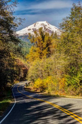
Mt Baker from Baker Lake Road 
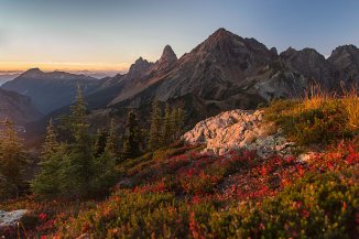
Baker River Sunset 
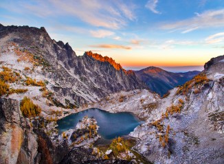
Baker Lake 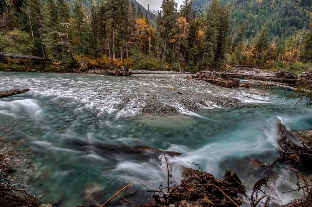
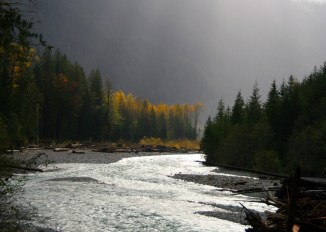
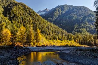
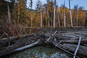
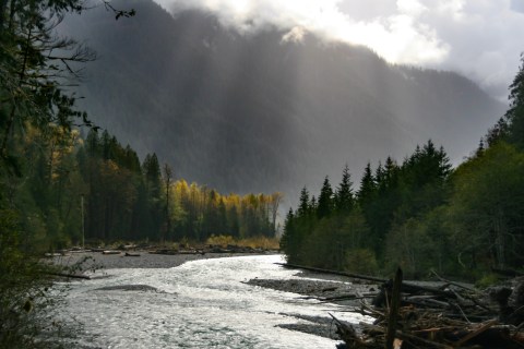
Baker River 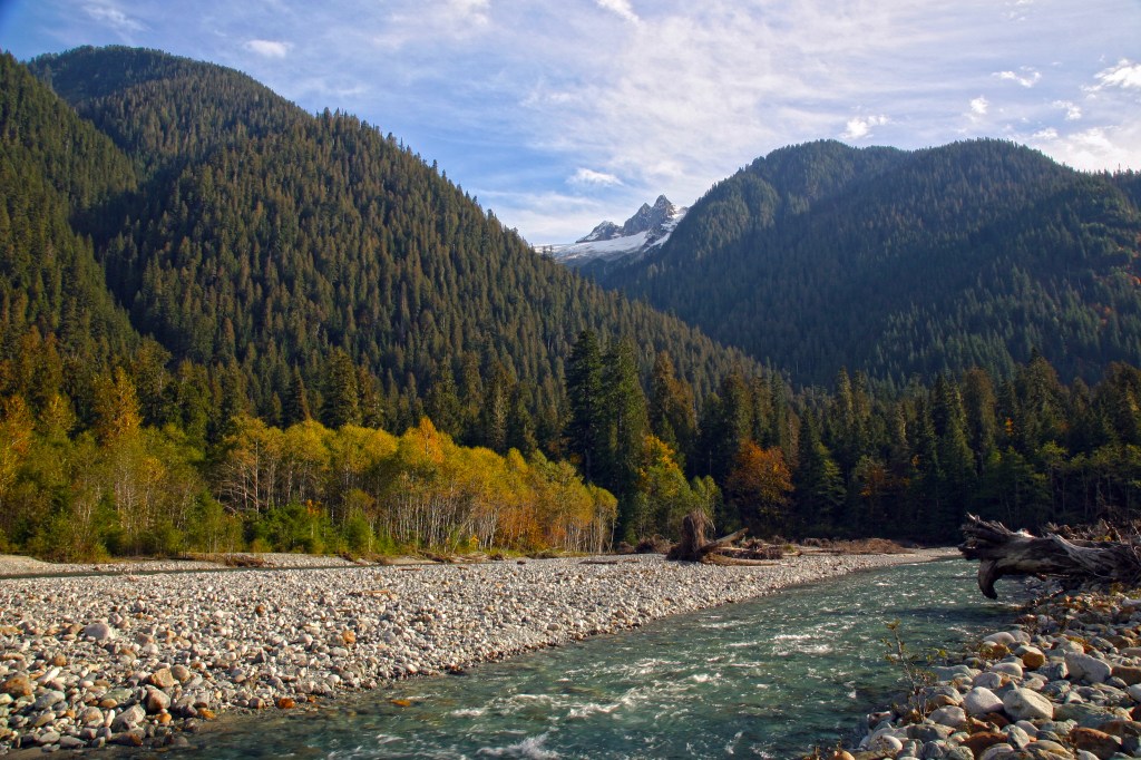
Baker River 
Baker Lake 
Baker Lake Boat Ramp 
Baker Lake 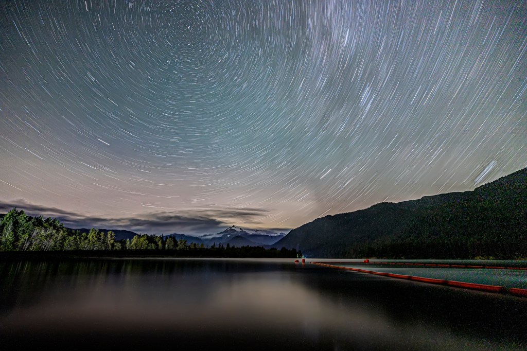
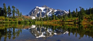
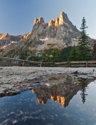
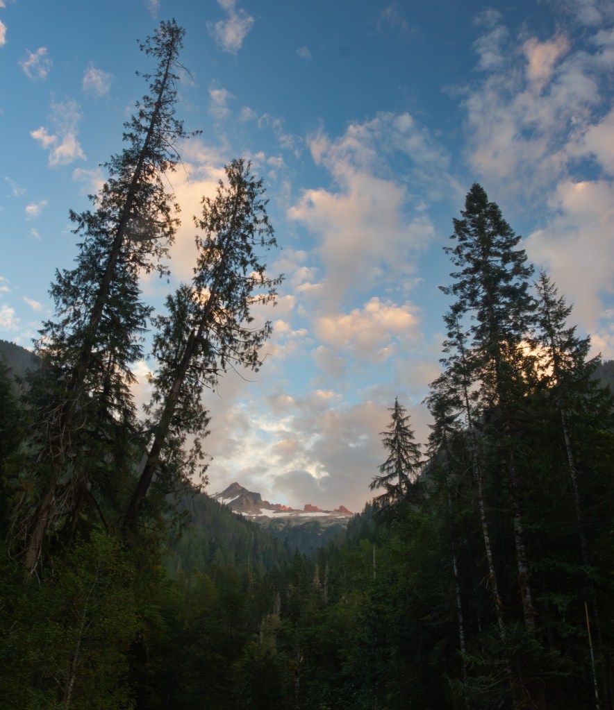
Mt Shuksan 
Baker Lake 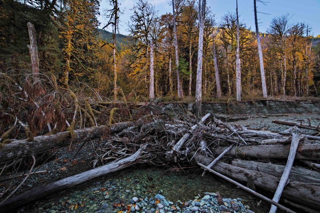
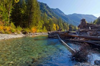
Baker River 
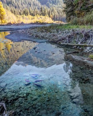
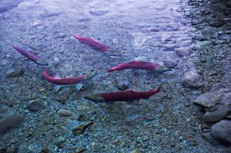
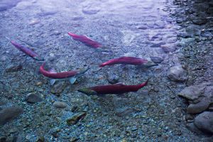
Baker River Salmon 

Baker River 
Baker River Salmon 
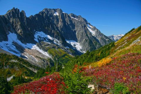
Mt Baker 
Baker River 
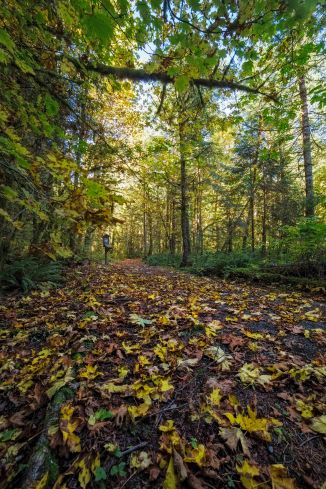
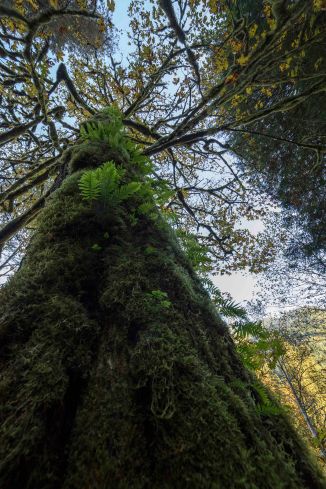
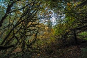
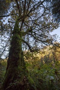
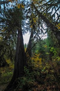
Baker River Trail 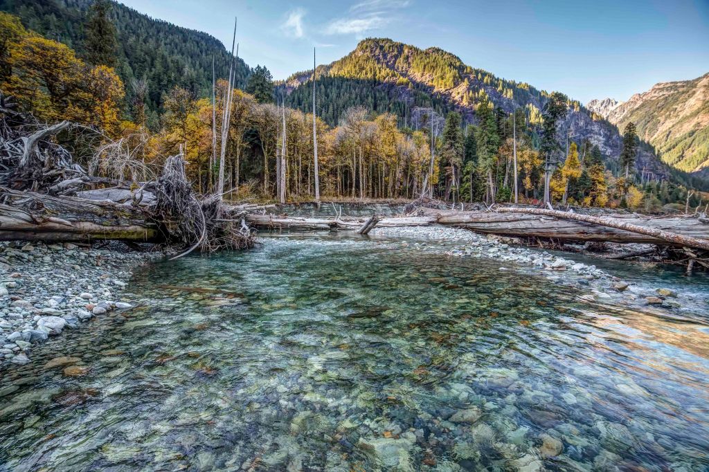
Baker River 
Baker River 
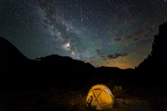
Camped at Baker River 
Baker River 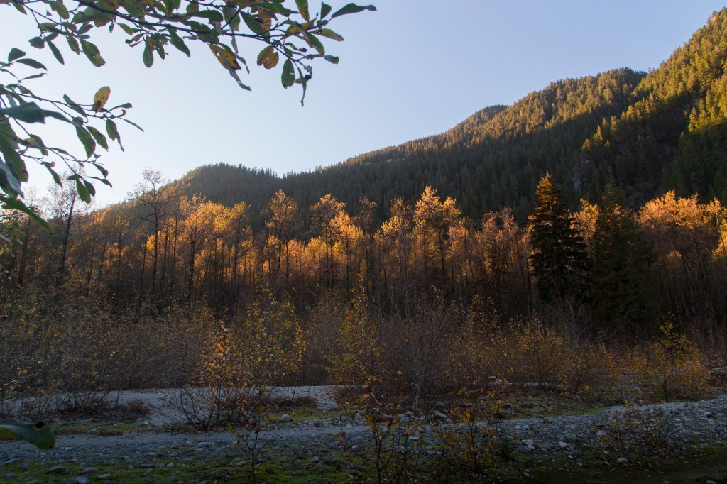
Baker River 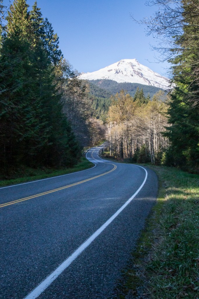
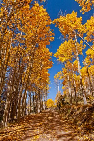
Baker Lake Road 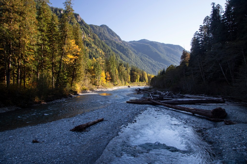
Baker River 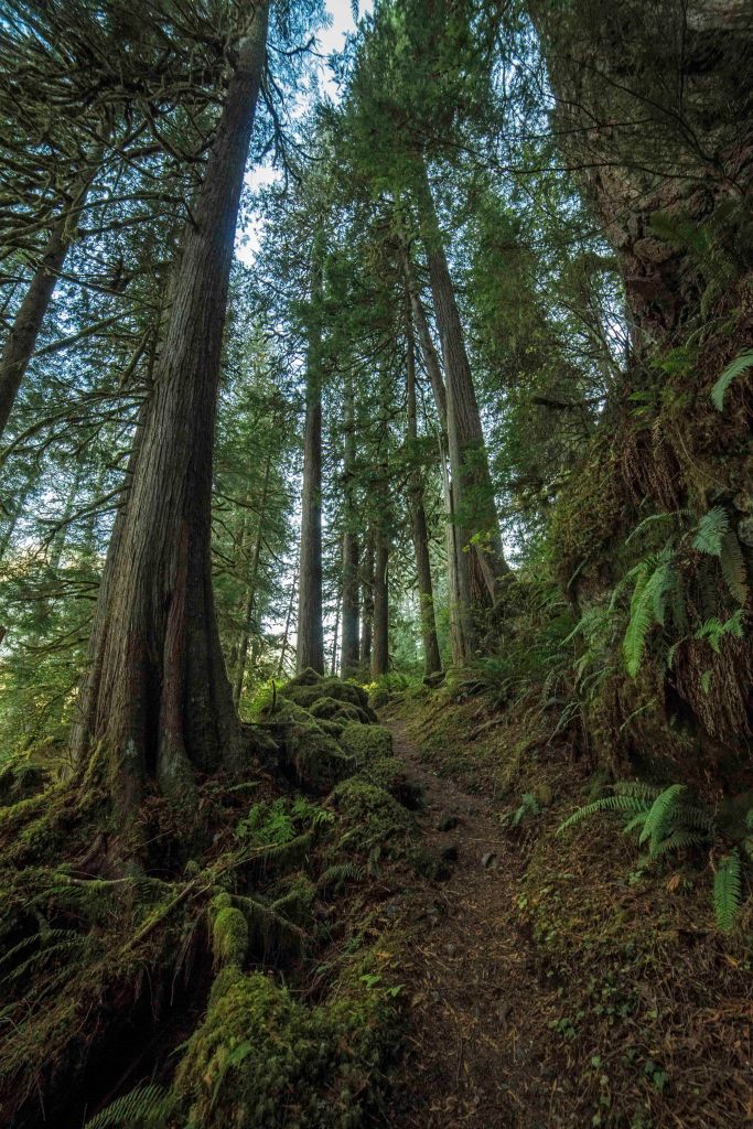
https://andyporterimages.com/skagit-valley/ 
Baker River Trail 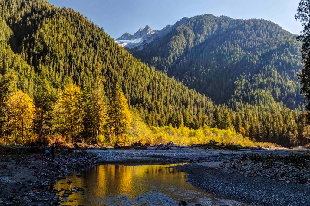
Baker River 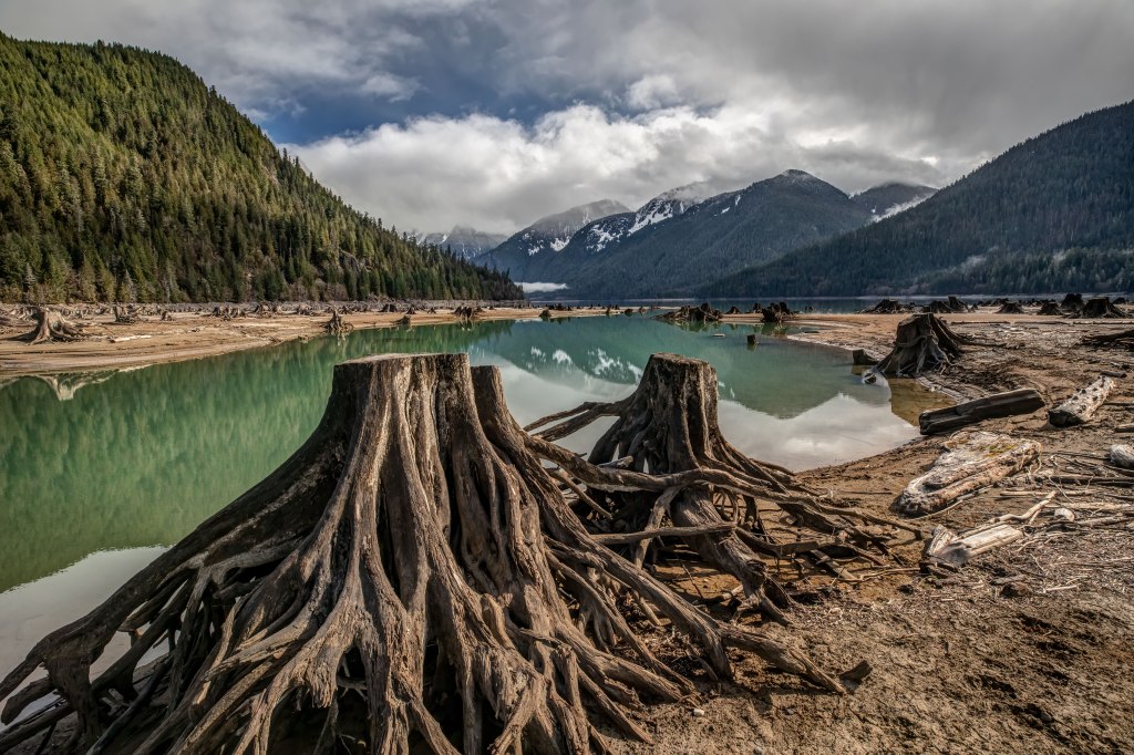
Baker Lake 
Baker River Trail 
Baker Lake 
Baker Lake Road 
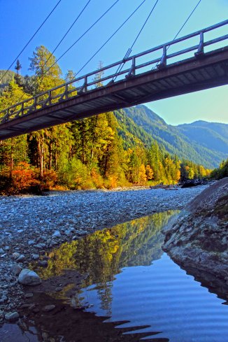
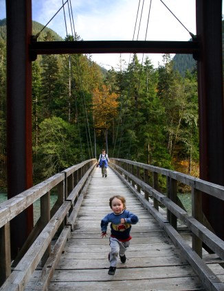
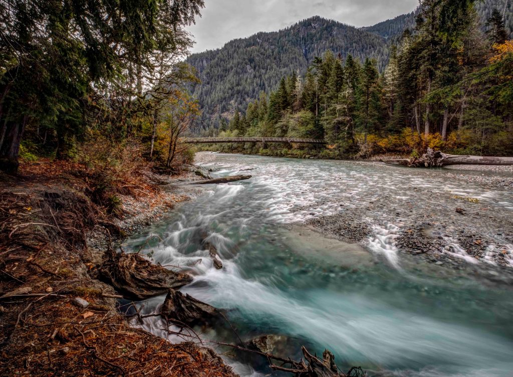
Baker River Bridge 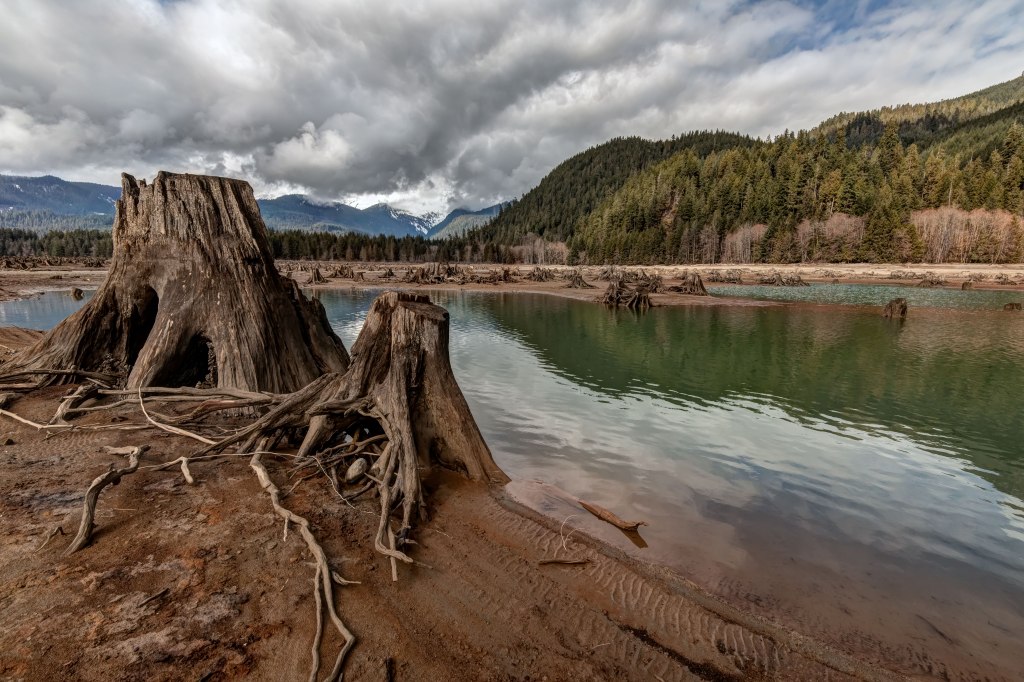
Baker Lake 
Baker Lake 
Baker River Trail 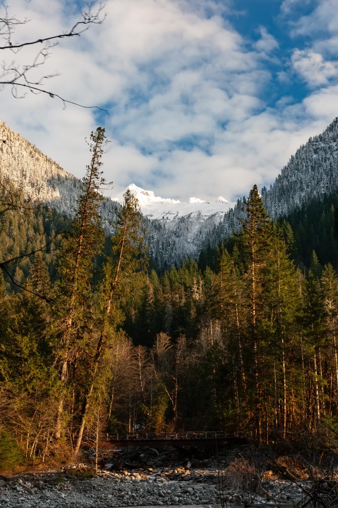
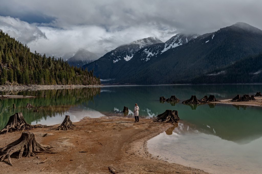
Baker Lake 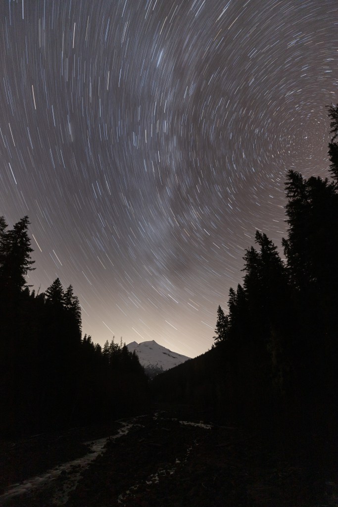
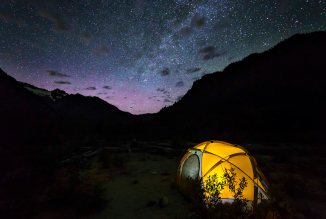
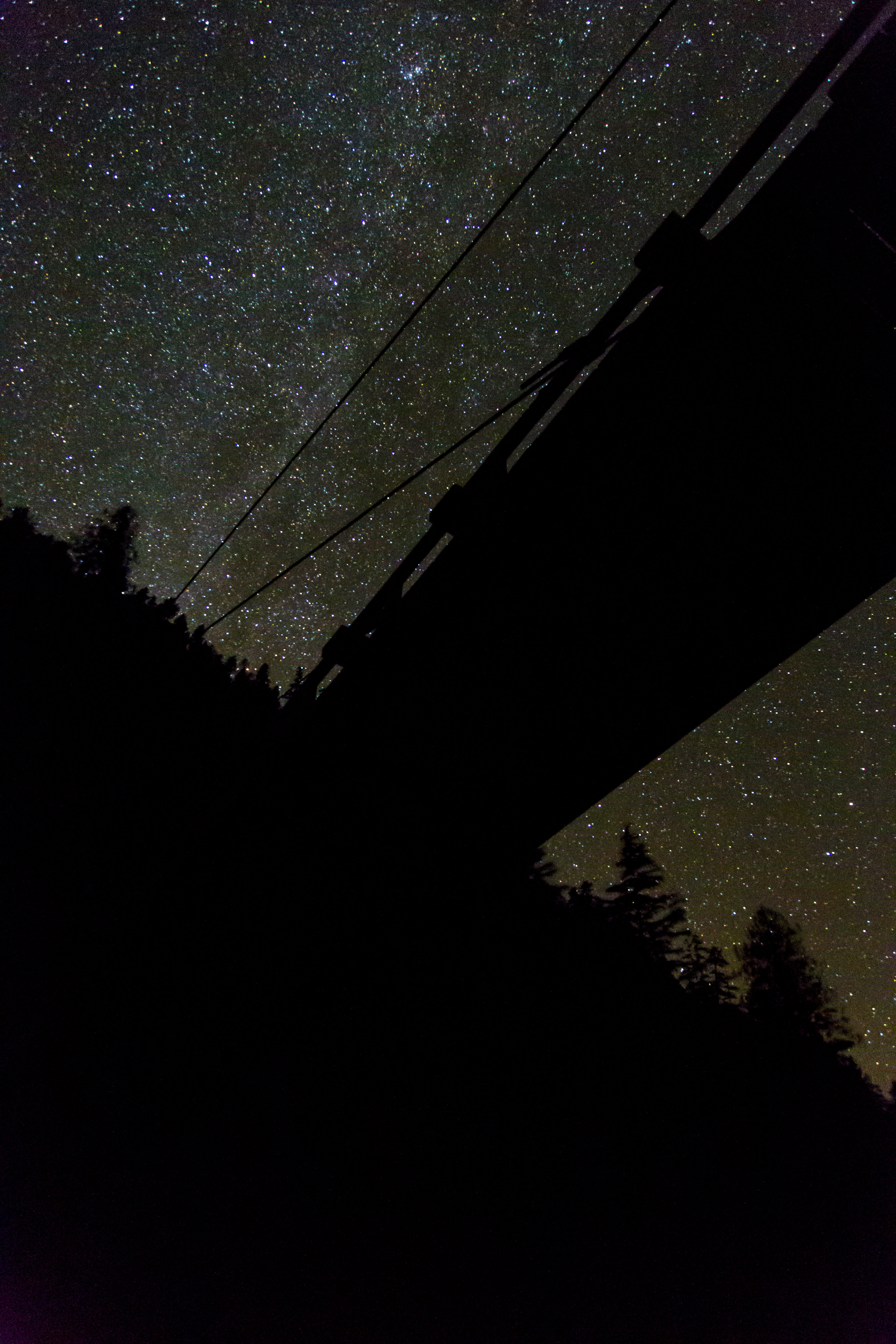
Mt Baker and Star Trails 
Baker River 
Baker Lake 
Baker Lake 
Baker River Trail 
Baker River Trail 
Baker River Bridge 
Baker Lake Road 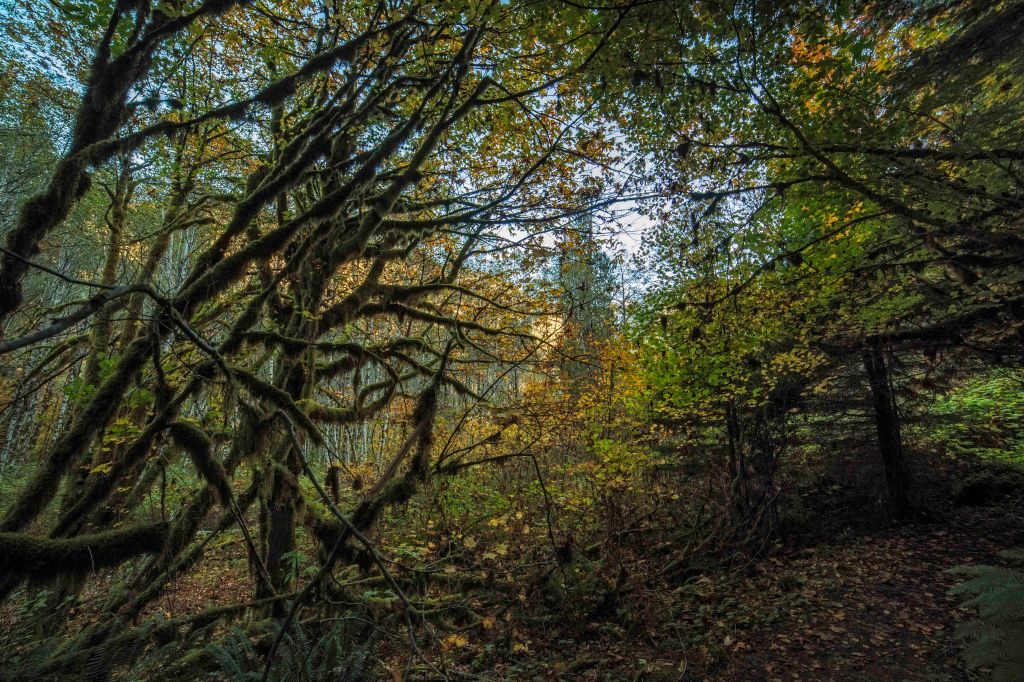
Baker River Trail 
Mt Baker and Boulder Creek 
Baker River Salmon