Cape Disappointment is located at the southwestern corner of Washington State, at the mouth of the Columbia River. There are two lighthouses, wonderful beaches and great camping in Cape Disappointment State Park.
The general area is known as the Graveyard of the Pacific due to the number of shipwrecks over the years. More than 100 days of fog each year! The Coast Guard has an active base at the Cape.
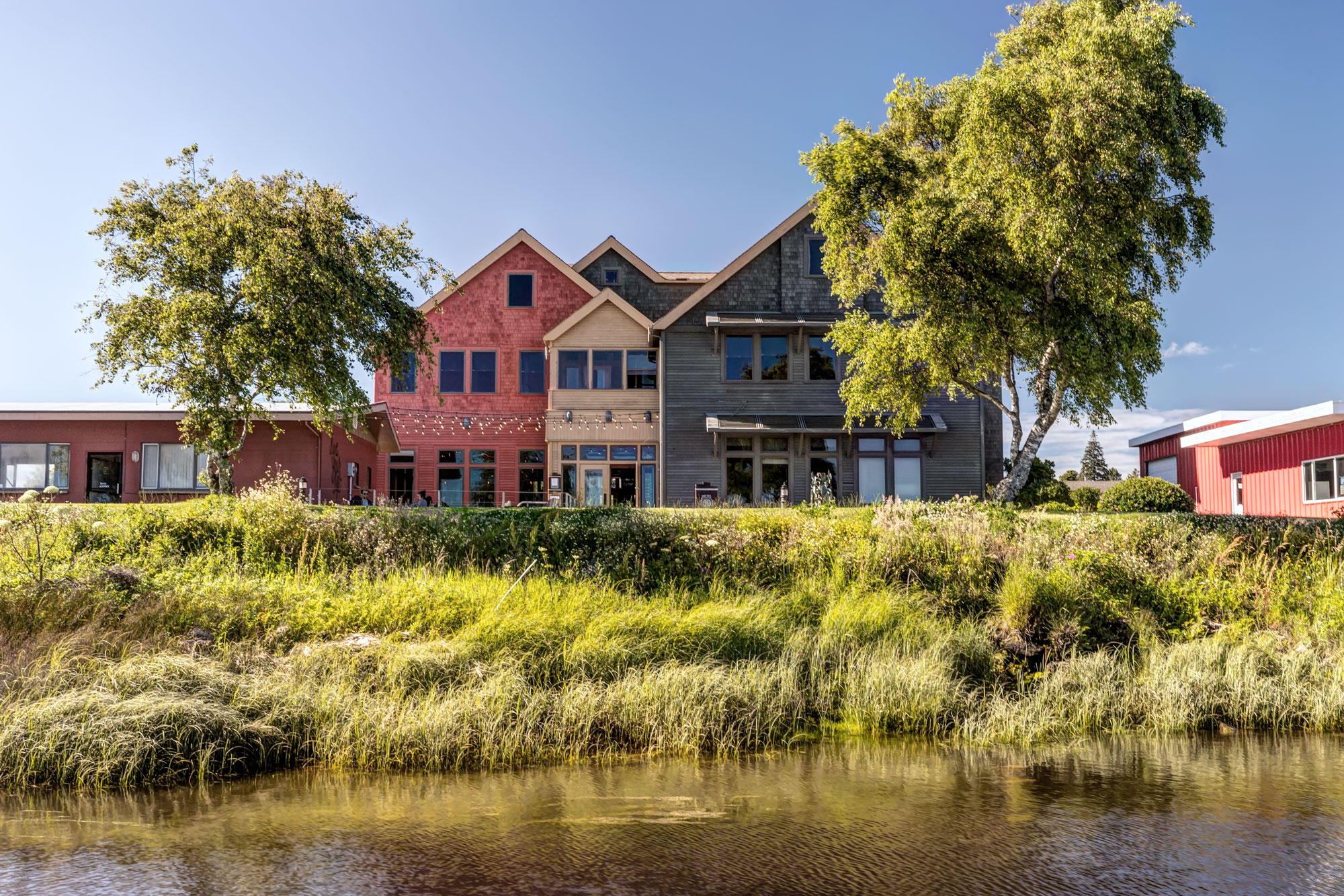
The nearest town is the Port of Ilwaco, with a nice marina and a few hotels. Oceanside is 10 miles to the north, a true Beach Resort Tourist Mecca…
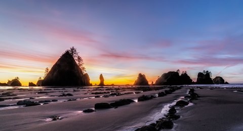
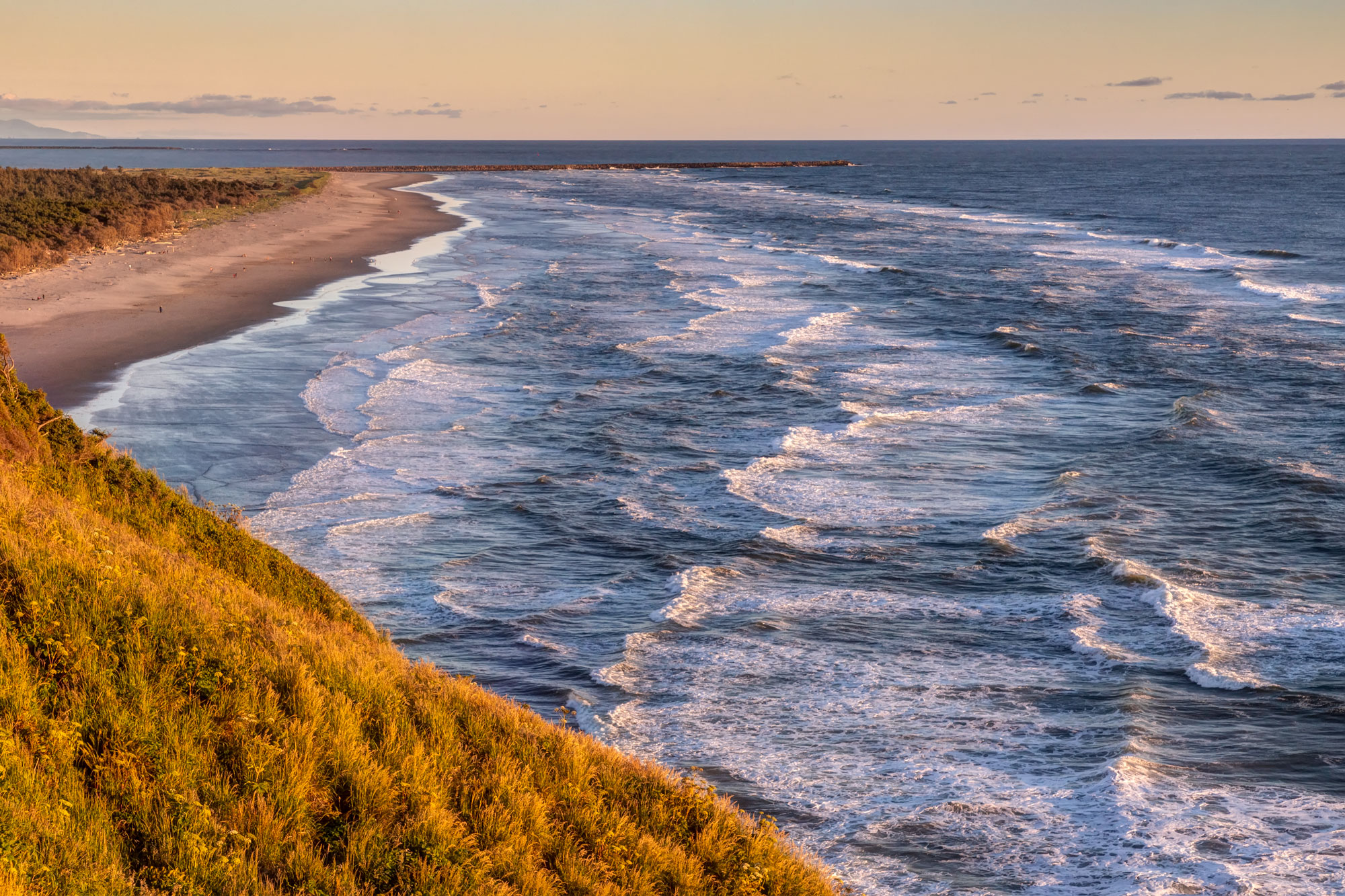
The Cape is at the base of a long peninsula stretching north for almost 30 miles. In many places there is beach access with your car: you can tool up and down long beautiful stretches of sand… Highway 103 extends to Leadbetter State Park, at the northern tip of the peninsula.
Not far from the South Lighthouse is small Waikiki Beach. Here are some day time and night time images from there:
-

- Waikiki Beach, Cape Disappointment
-
- Waikiki Beach, Cape Disappointment
-
- Waikiki Beach, Cape Disappointment
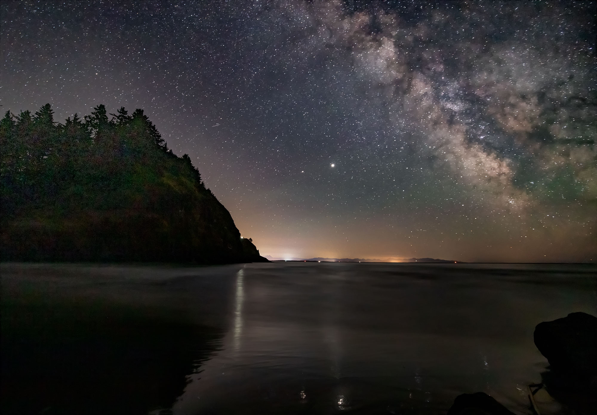
-
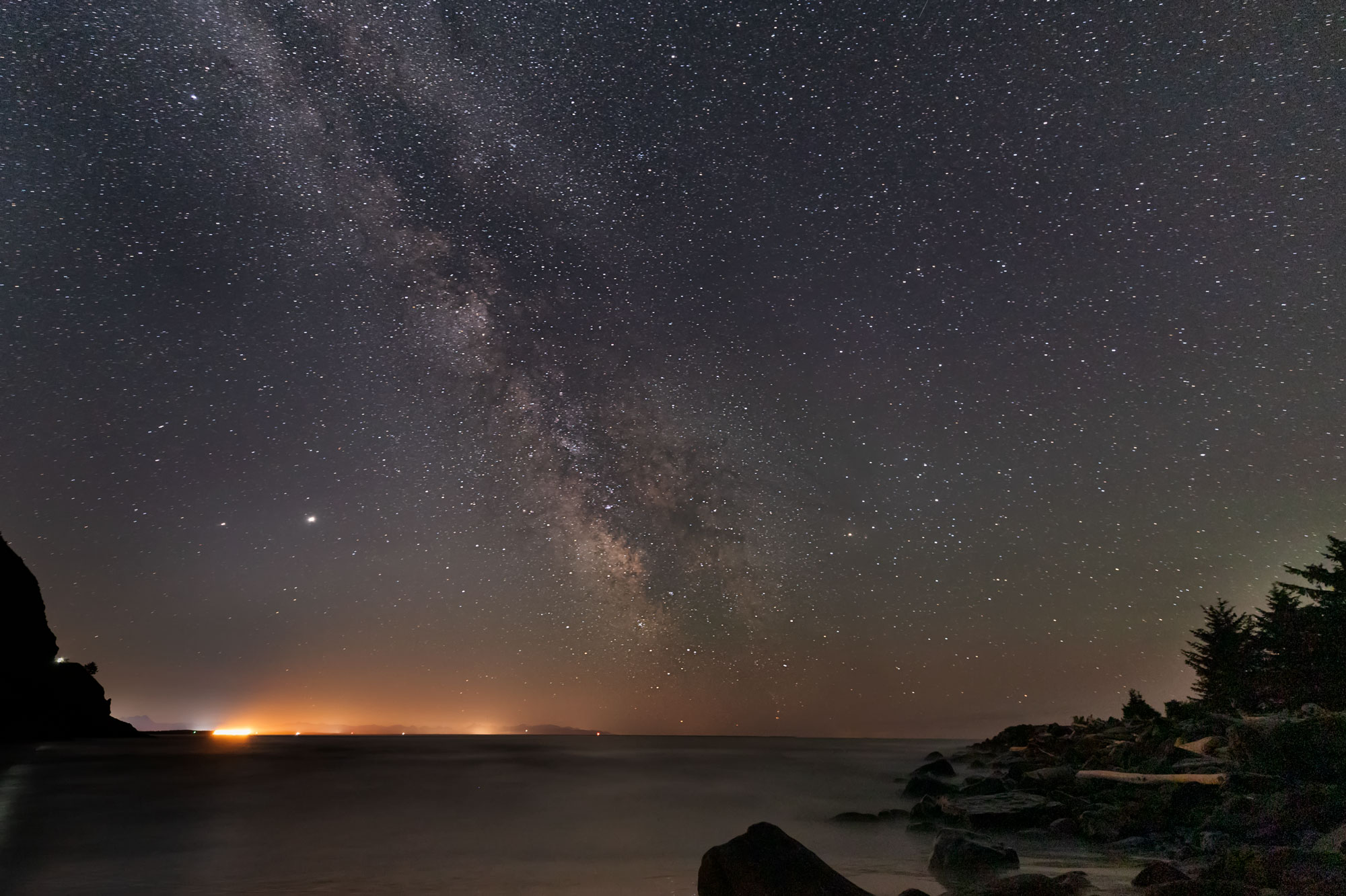
- Cape Disappointment and the Milky Way
-
- Cape Disappointment and the Milky Way
-

- Cape Disappointment and the Milky Way
The beacon of the South Lighthouse is visible, as well as the line of ships leaving the bay with the high tide. The two bright stars, to the left of the Milky Way are Saturn and Jupiter…
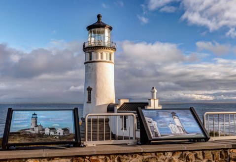
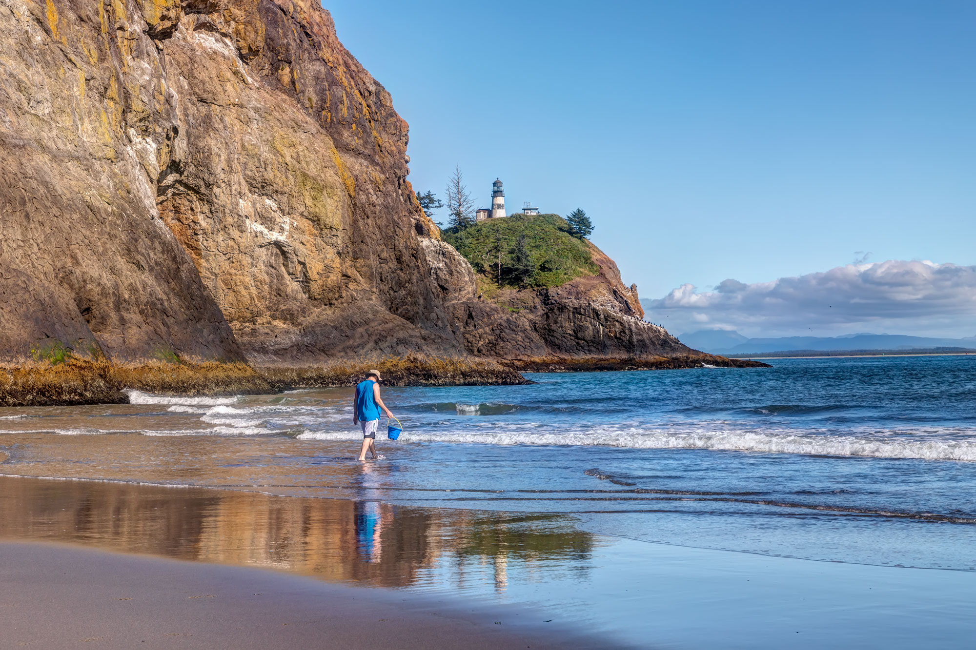
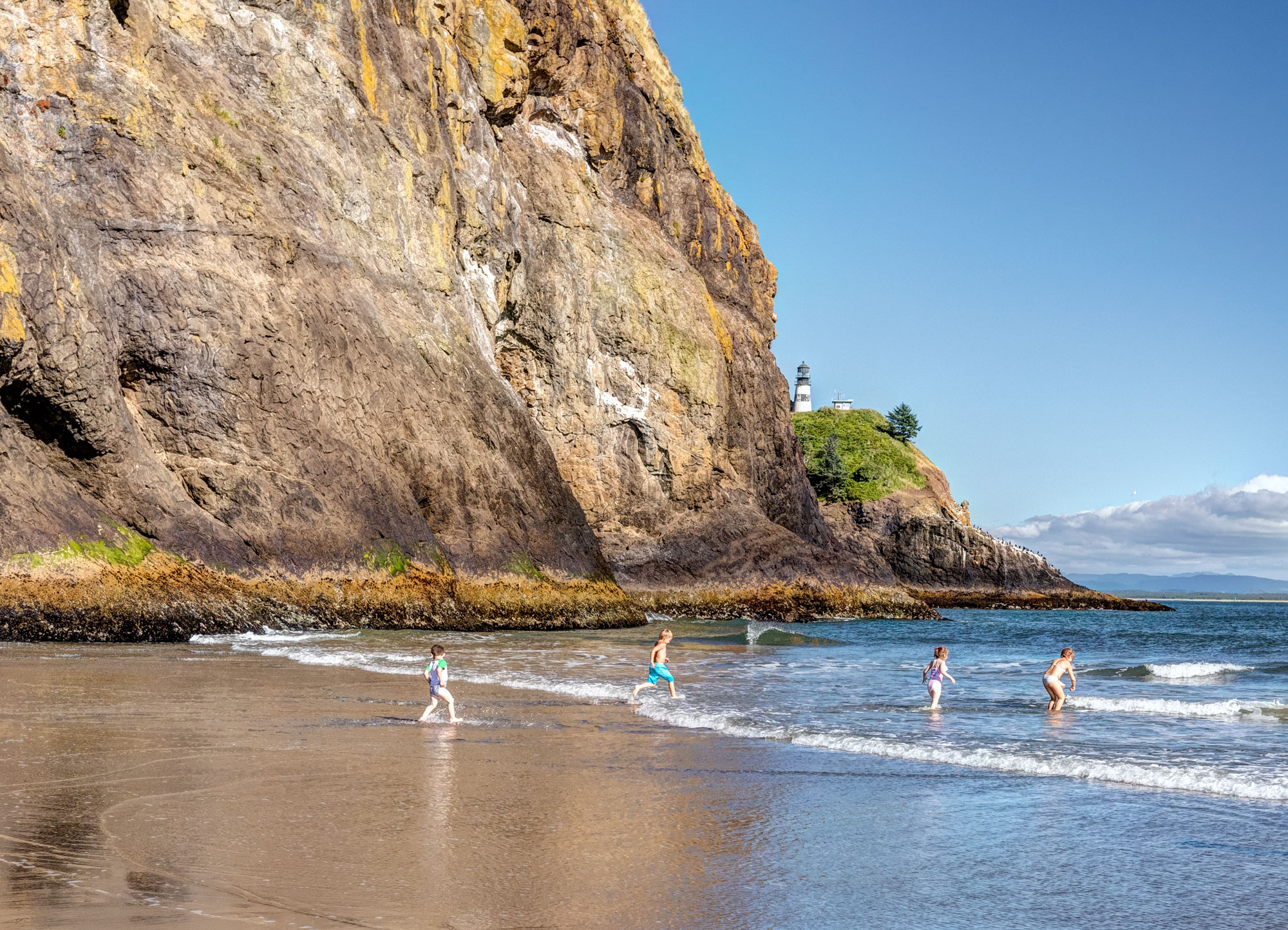
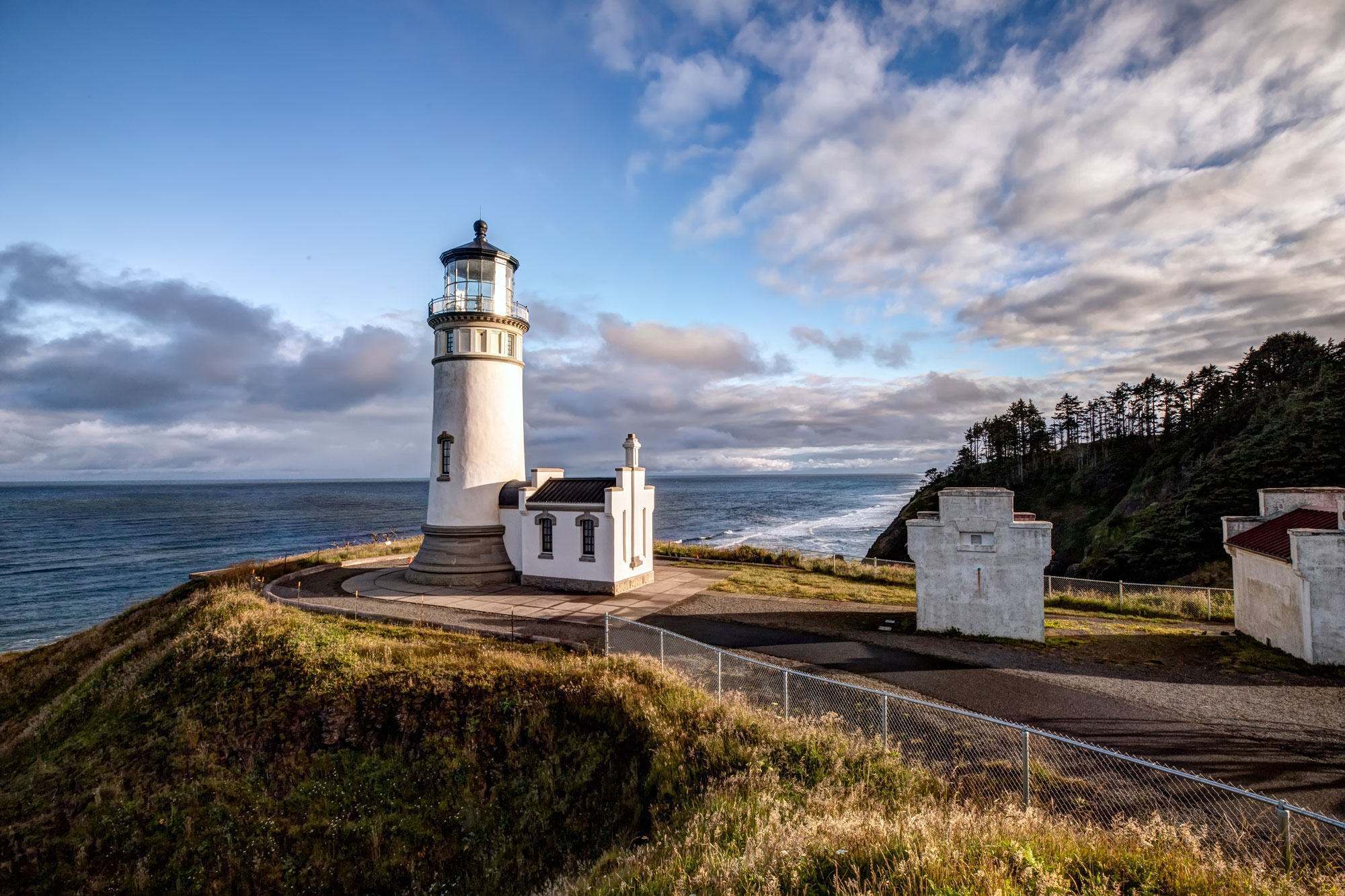
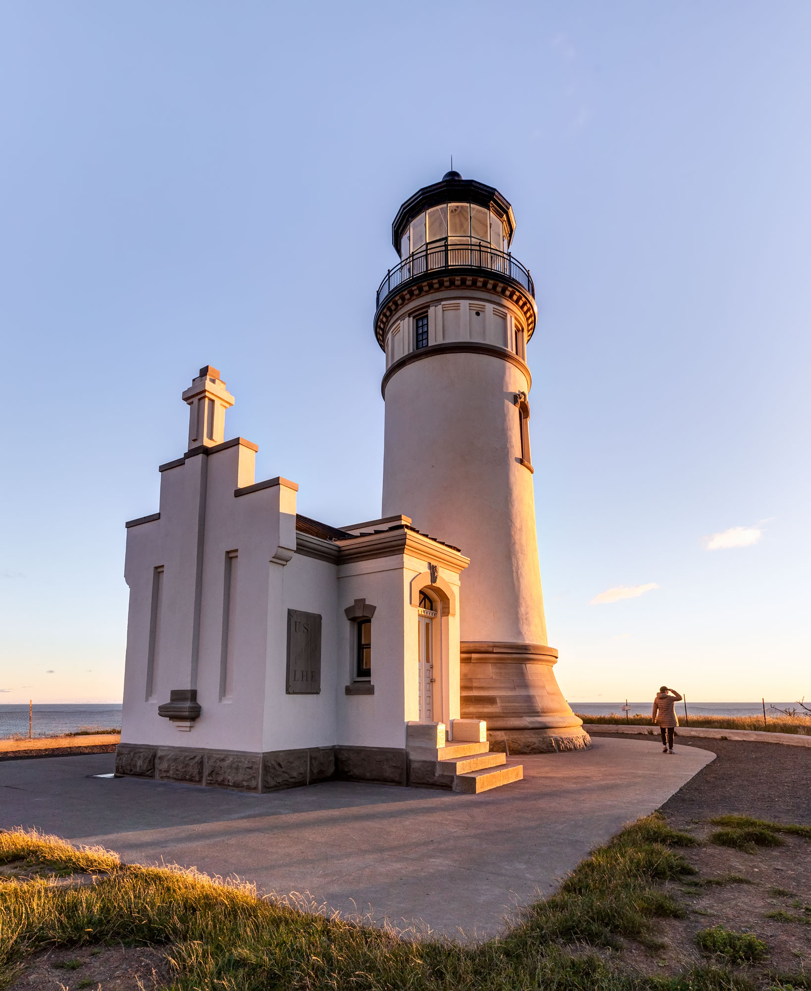
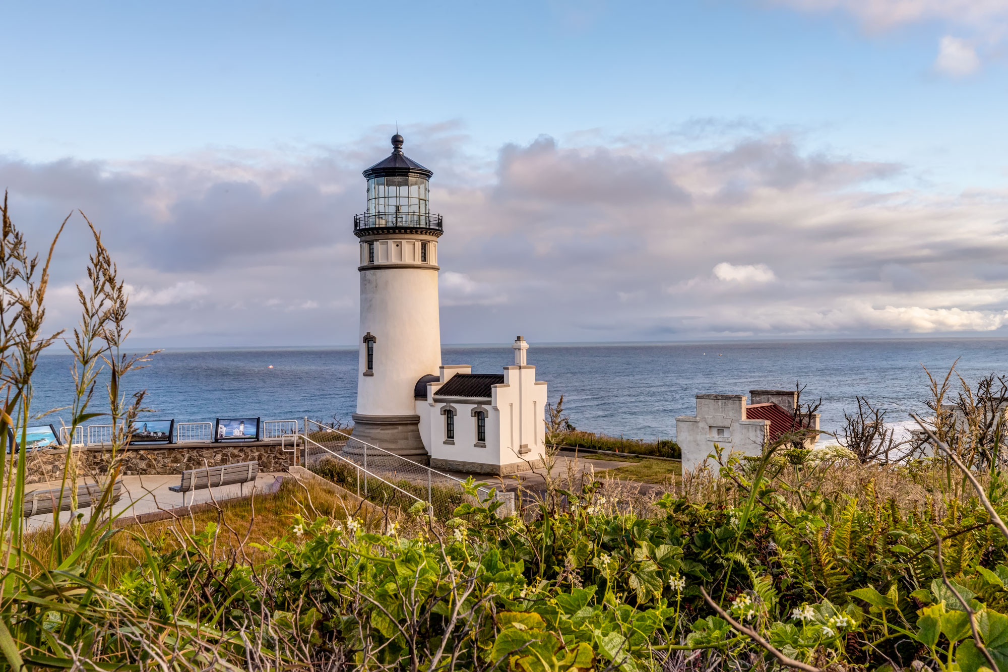
The North Lighthouse is easily accessible and quite beautiful…
-

- Cape Disappointment North Lighthouse
-

- Cape Disappointment North Lighthouse
-
- Cape Disappointment North Lighthouse
-
- Cape Disappointment North Lighthouse
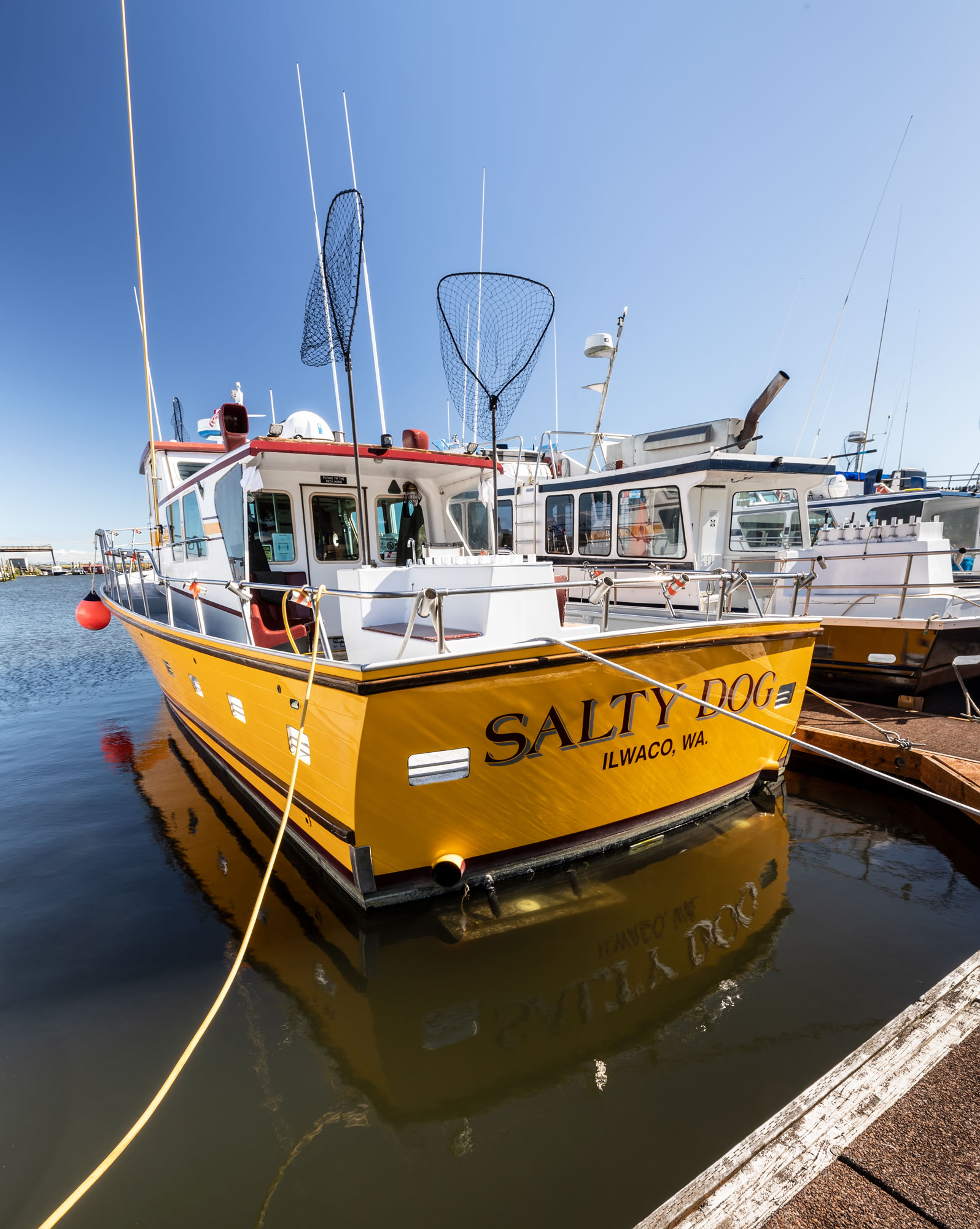
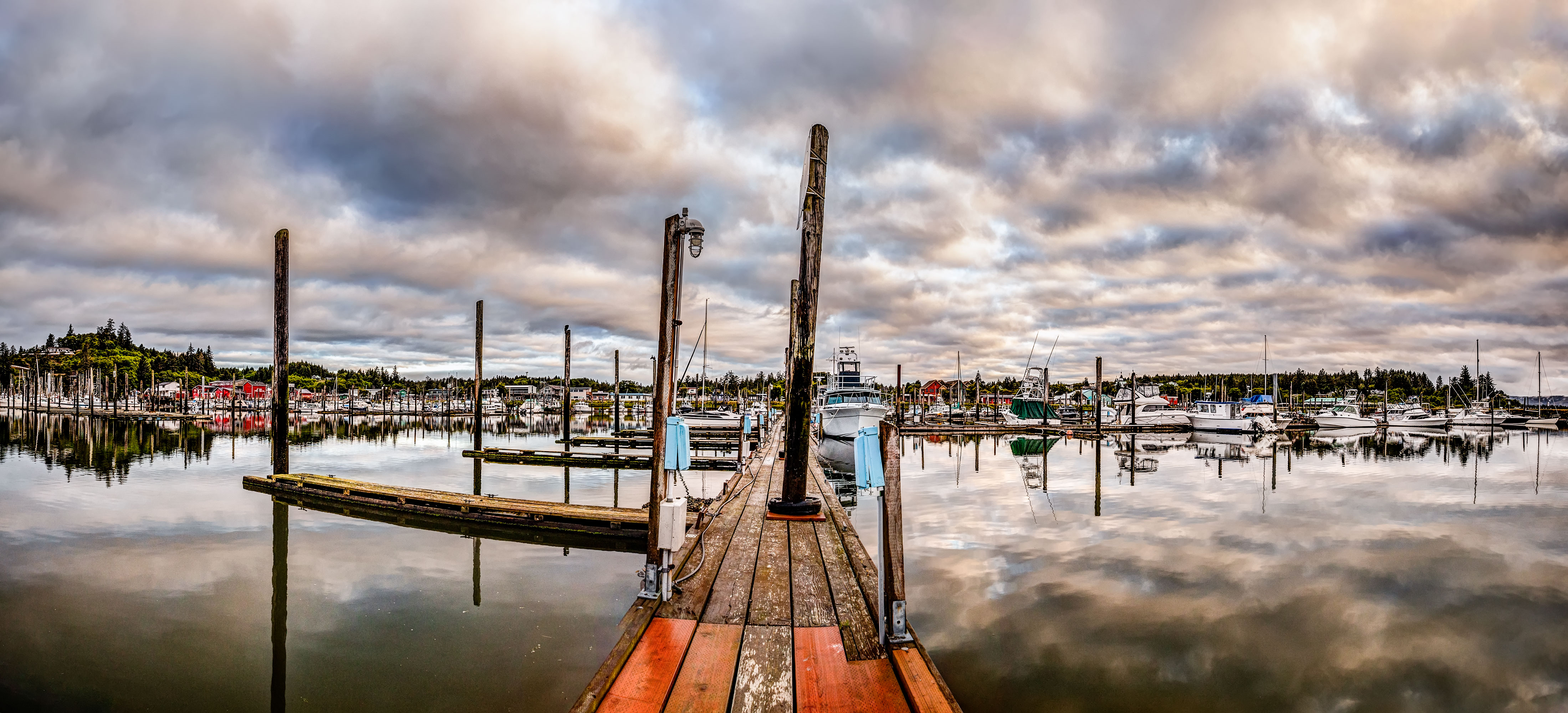
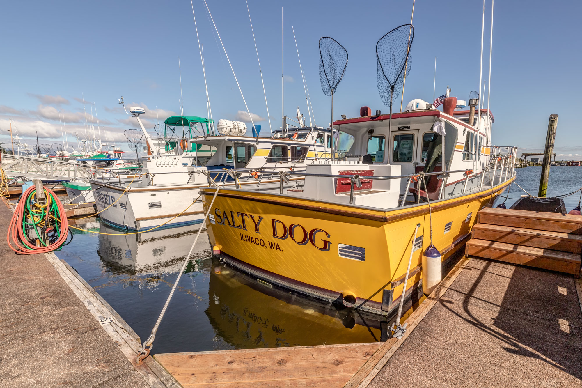
The Port of Ilwaco is the nearest town, with a nice marina and a few hotels.
-
- At the Helm, Ilwaco, WA
-
- Port of Ilwaco
-
- North Jetty
-
- Port of Ilwaco
-
- Port of Ilwaco


")