Barn at Sunrise

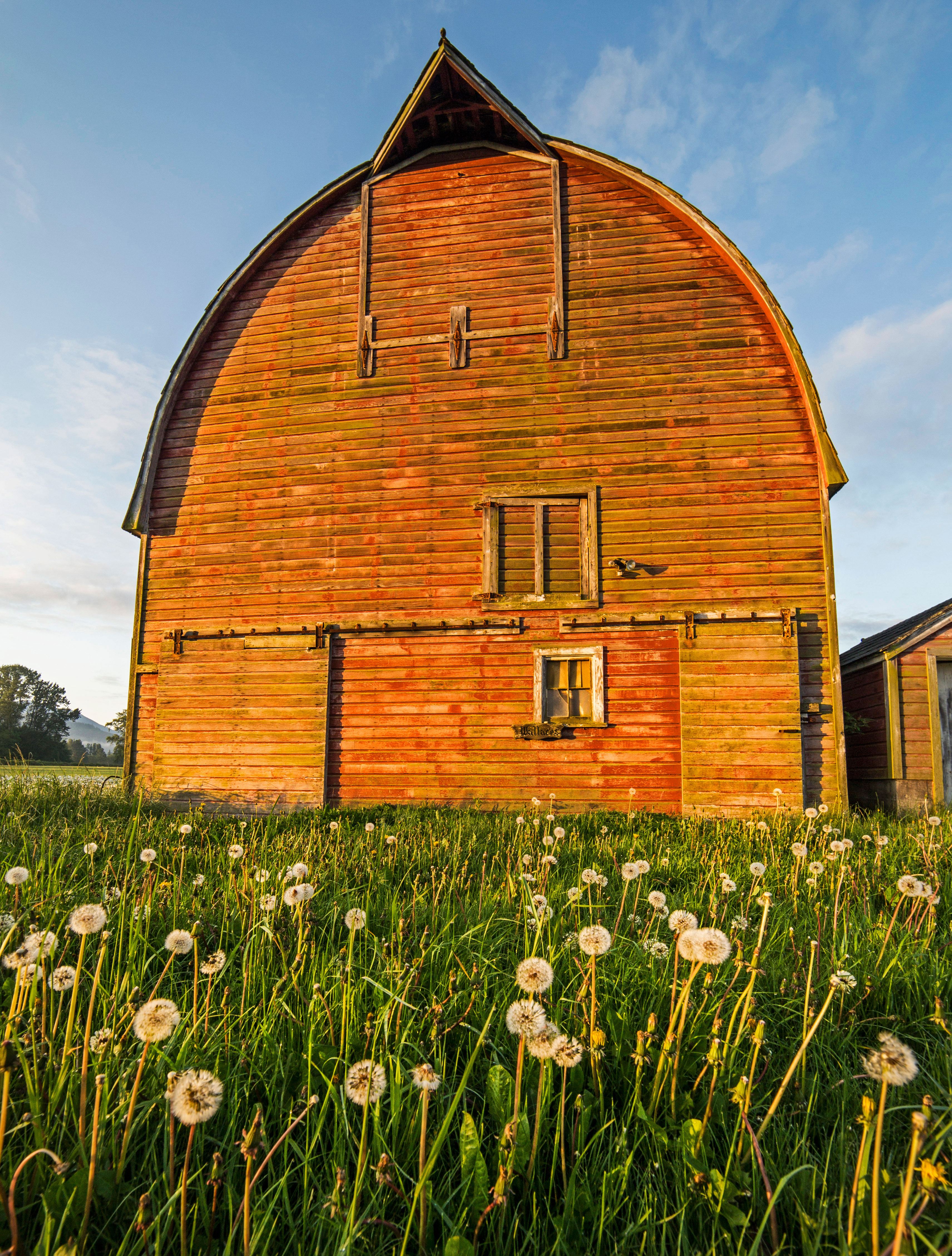
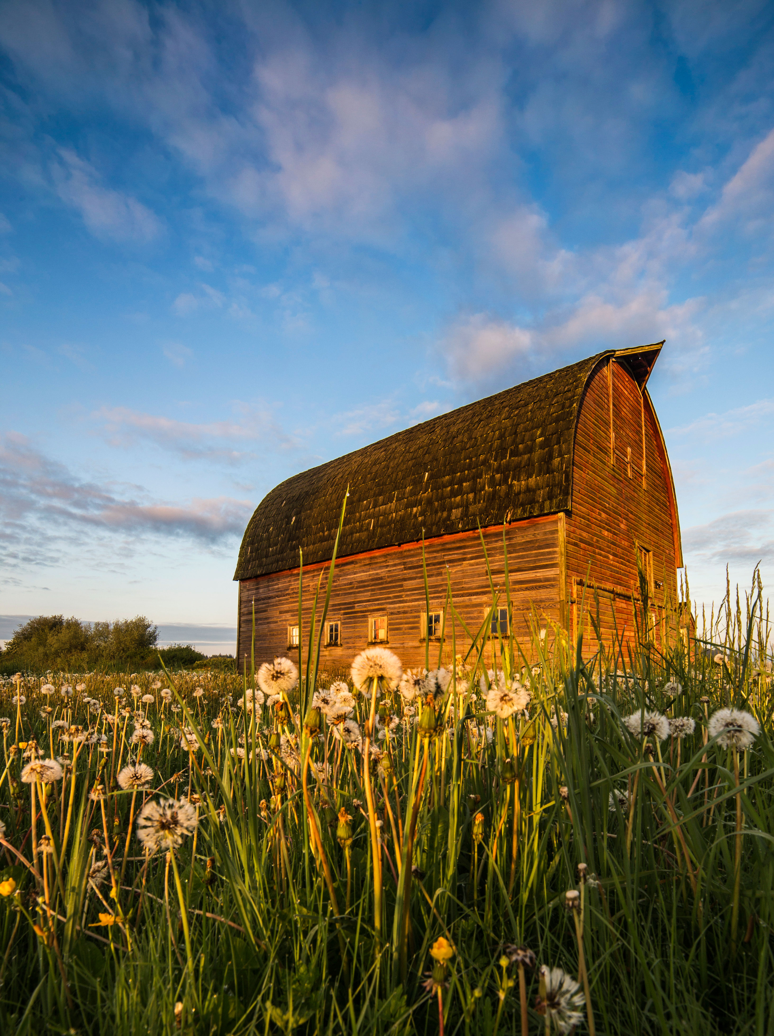
I awoke at 5:30am to take sunrise pictures, but I was almost too late! As I was driving to the ocean I espied this barn and diverted, partly because of the dandelions and mostly because I could see I was late to make it to the shore in time…not that I’m complaining!
barn-111m

barn-2m

barn-4m

barn-6m

barn-7m

barn-3m

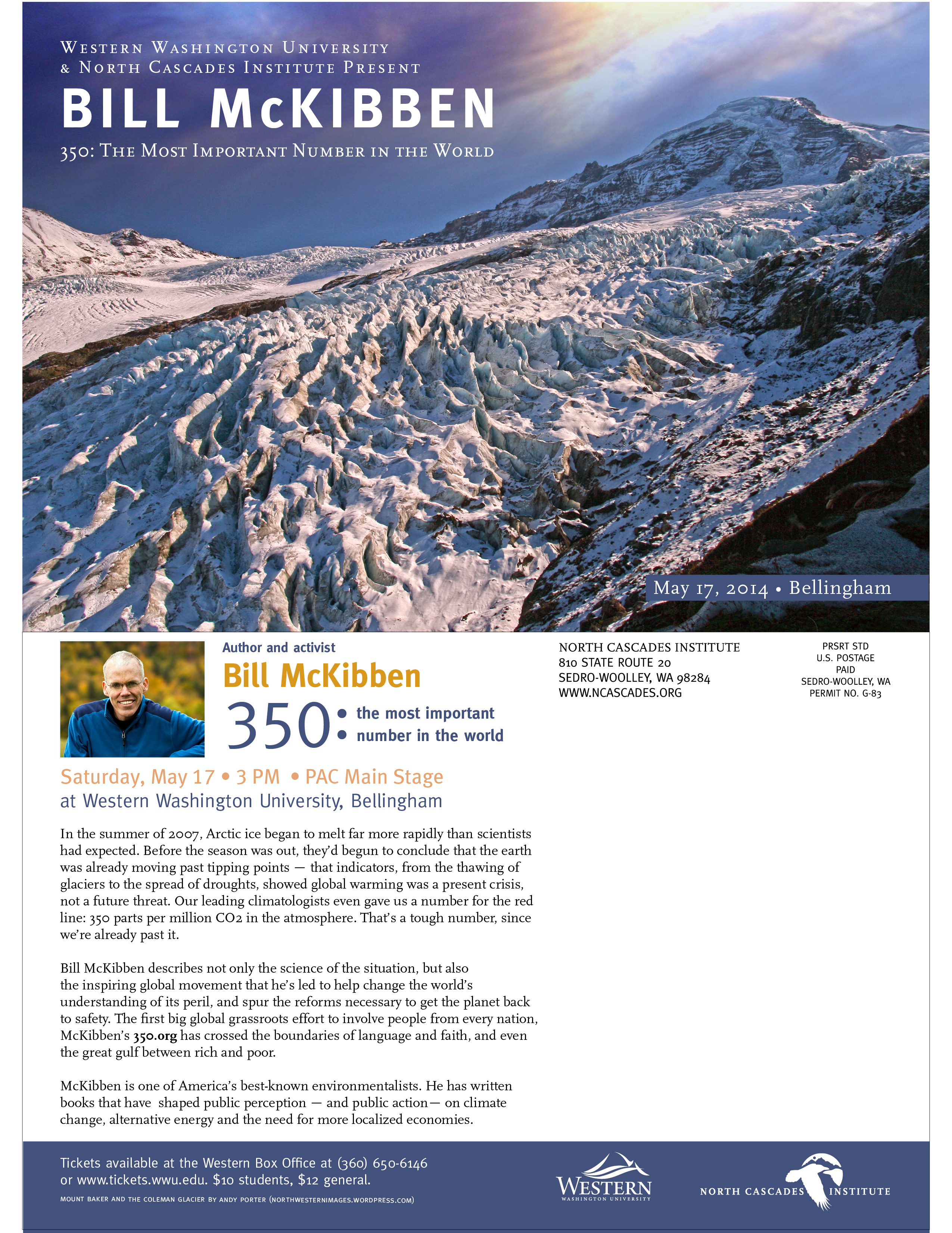
Bill McKibben at WWU in Bellingham, May 17th

For some time now I have donated use of my images to various groups. Washington Trails Association, North Cascades Institute, The Sierra Club, Washington Wild, National Resources Defense Fund, National Park Foundation, Cascade Loop Magazine and others have all used my images to help promote their message(s) of conservation, environmental protection and tourism.
This the first time one of my images has been used directly to promote something very important to me, namely, Global Warming and Climate Change! I am excited to attend the event.
This image is of Mount Baker and the Coleman Glacier from the Heliotrope Trail, on the north side of Mount Baker, in the North Cascades, in Washington State.
McKibben

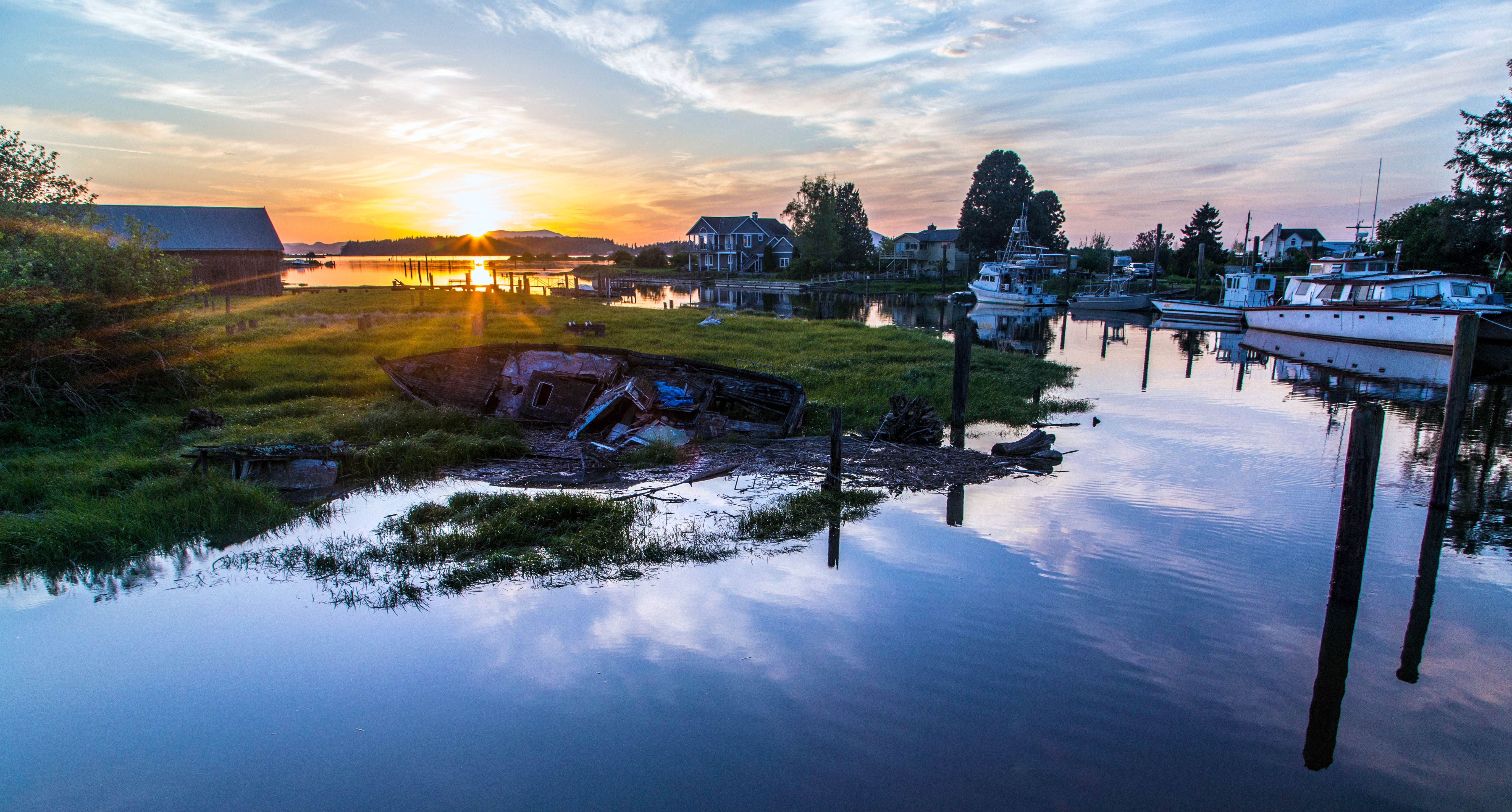
Samish River Sunset

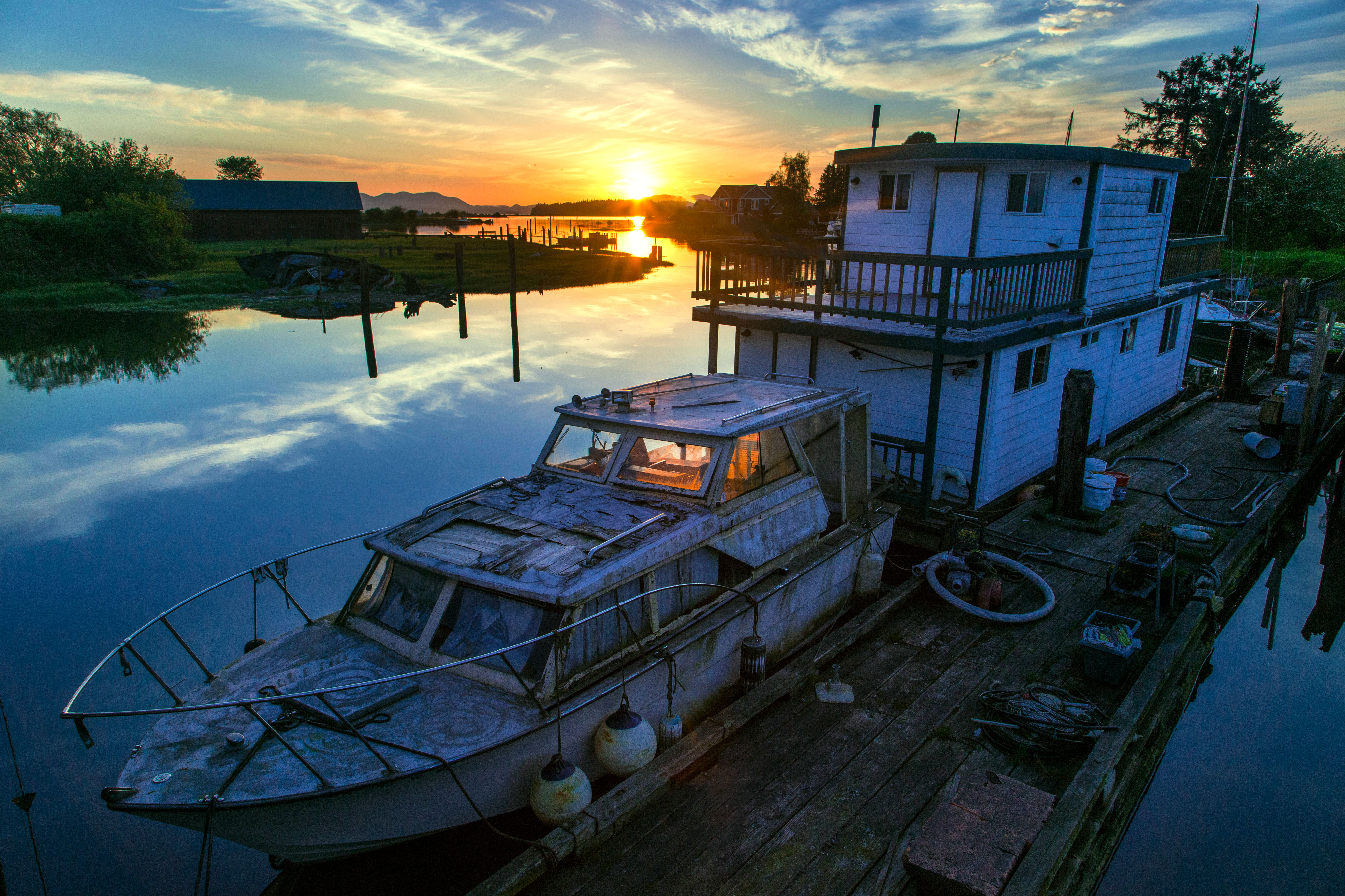
This has become one of my go-to places for sunsets…the way the sun hits the horizon illuminating the water and boats is sumptuous.
One advice is to scour your neck of the woods and find vantage points for sunrise and sunset. Ideally they would be no more than 20 minutes drive from your home. When the sky is beginning to look crazy grab your gear and head out.
I am always on the lookout for more spots like this. There is not much worse than seeing an incredible sky and not having a spot to make for. Well, actually there is a LOT worse than that, but you get the idea.
This first shot really does it for me, and to be perfectly honest I did not even see the light shining into the boat cabin until I got home! Samish River
The thing that I love about this image is the markings on the deck of the boat. I am guessing that they are from ropes which had been coiled there. Samish River
This last shot…what to say? The abandoned boat in the foreground has been pictured by me many times…and yet I am sure to return! Samish River
Oh, and by the way, this location is on the Bayview-Edison Road, Here is the map.

Skagit Valley Greening Cards for Sale!

I have updated the cost of the cards and locations where you can purchase them!
Skagit Valley Greening Cards for Sale!

The 10 images below are now printed on 5.5″ x 8″ thick linen finish paper. They have a luxurious feel to them and the colors are magnificent. One side is the image an the other side has the name and location of the image. They can be send as post cards, but come individually sealed in a plastic sleeve with an envelope.

Price is $3.50 each; a bundle of one of each (10 cards) for $25.
Wholesale pricing available!

The shipping cost varies based on the number of cards you’d like, email me for prices
AndyPorterPhotography@gmail.com

Send in your payments (checks or money orders only, please!) to:

Andy Porter
440 Nelson Street
Sedro-Woolley, WA 98284

The cards will ship out within 24 hours of your order being received.

Here is a list of locations where you can purchase the cards:

In Mount Vernon
• Skagit Valley Hospital Main Pharmacy, in the Skagit Regional Clinic Building
• Skagit Valley Hospital at their new River Bend Facility Pharmacy
In Sedro-Woolley
• Simply Silver and More located on Metcalf Street in Downtown Sedro Woolley
• Hoagland Pharmacy on Highway 20
• Sedro Woolley Auto Licensing and Chamber of Commerce office on Metcalf Street
In La Conner
Caffe Jubilee on First Street

red tulips blue and orange sky Skagit Valley Tulips

DCF 1.0 Sahale Glacier Camp, North Cascades National Park

carnival 5em Sedro-Woolley Carnival

Orange sky, pink tulips Orange Sky, Pink Tulips @ Skagit Valley

mt baker Mount Baker

Sahale Arm Trail,  North Cascades National Park Sahale Arm Trail, North Cascades National Park

Light and Tulips Light and Tulips

Point of the Arches Point of the Arches, Olympic National Park

waterfall 2-Recovered em Indian Creek Waterfall, North Cascades National Park

Arches National Park, Utah Arches National Park

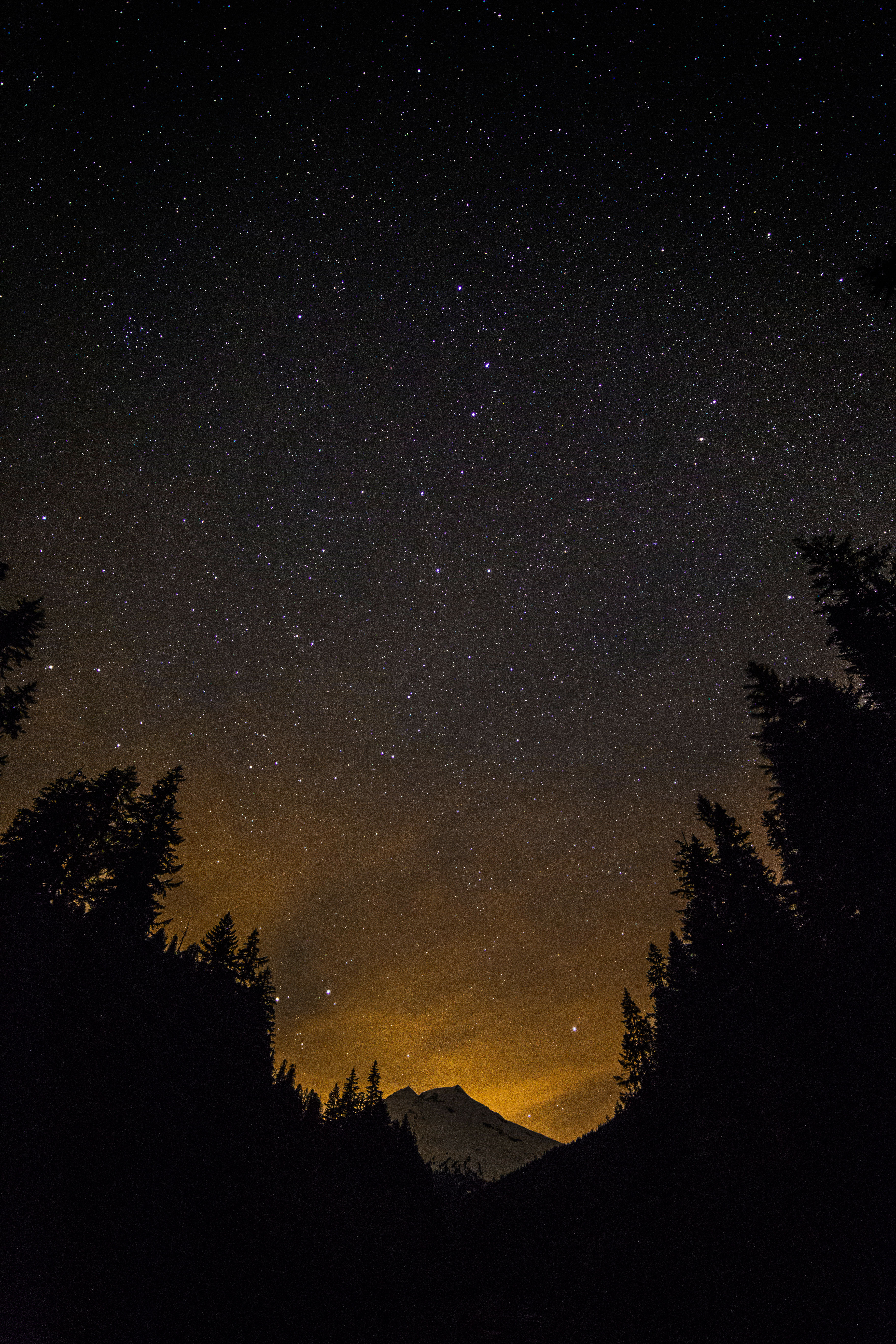
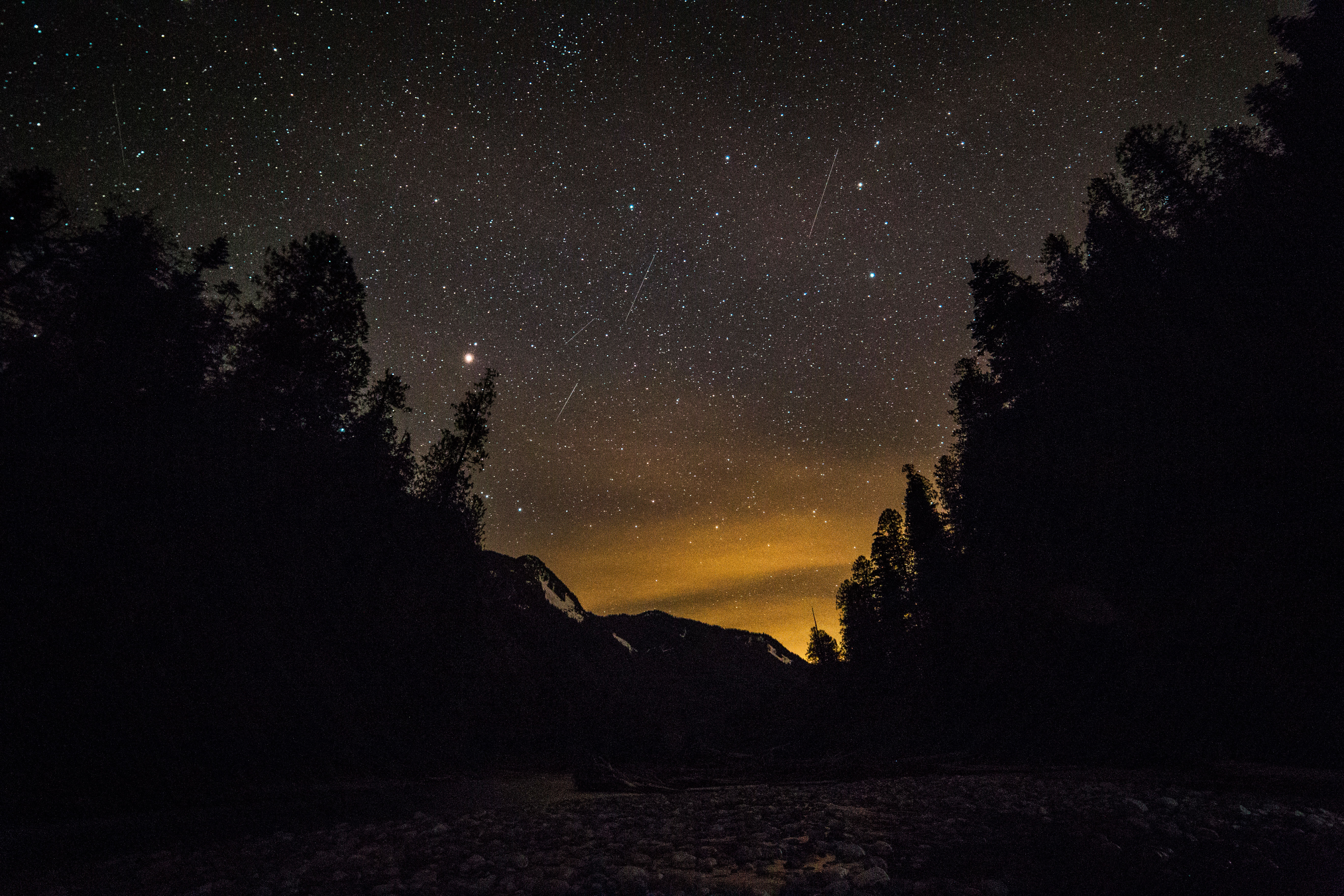
Nighttime Imaging Along Baker Lake Road

Baker Lake Road heads north from Highway 20. Skirting Lake Shannon, Baker Lake and finally the Baker River the road leads to darkness! About 20 miles up the road makes a sweeping curve over a cement bridge and this view of Mount Baker opens up.

Mount Baker and the Big Dipper Mount Baker under the Big Dipper

The roads end soon follows and a short hike in the darkness offered this view of Baker River.

Baker River under starlight Baker River, North Cascades

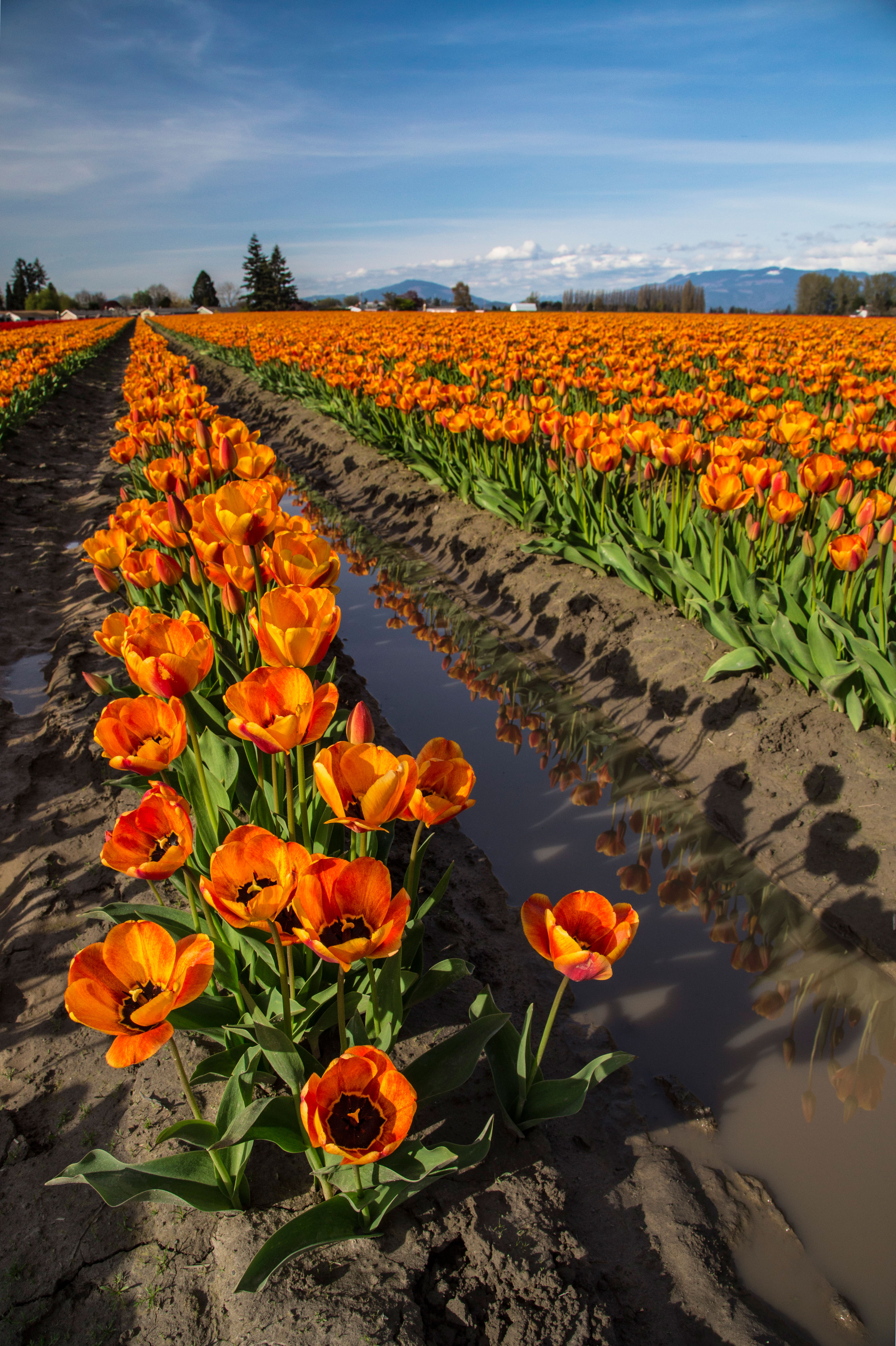
Skagit Valley Tulips: 2014

There are 3 good reasons that I take so many pictures of the Tulip Festival each year:
1. Tulips are incredibly colorful!
2. They are very close by!
3. The mountains are still covered with snow!
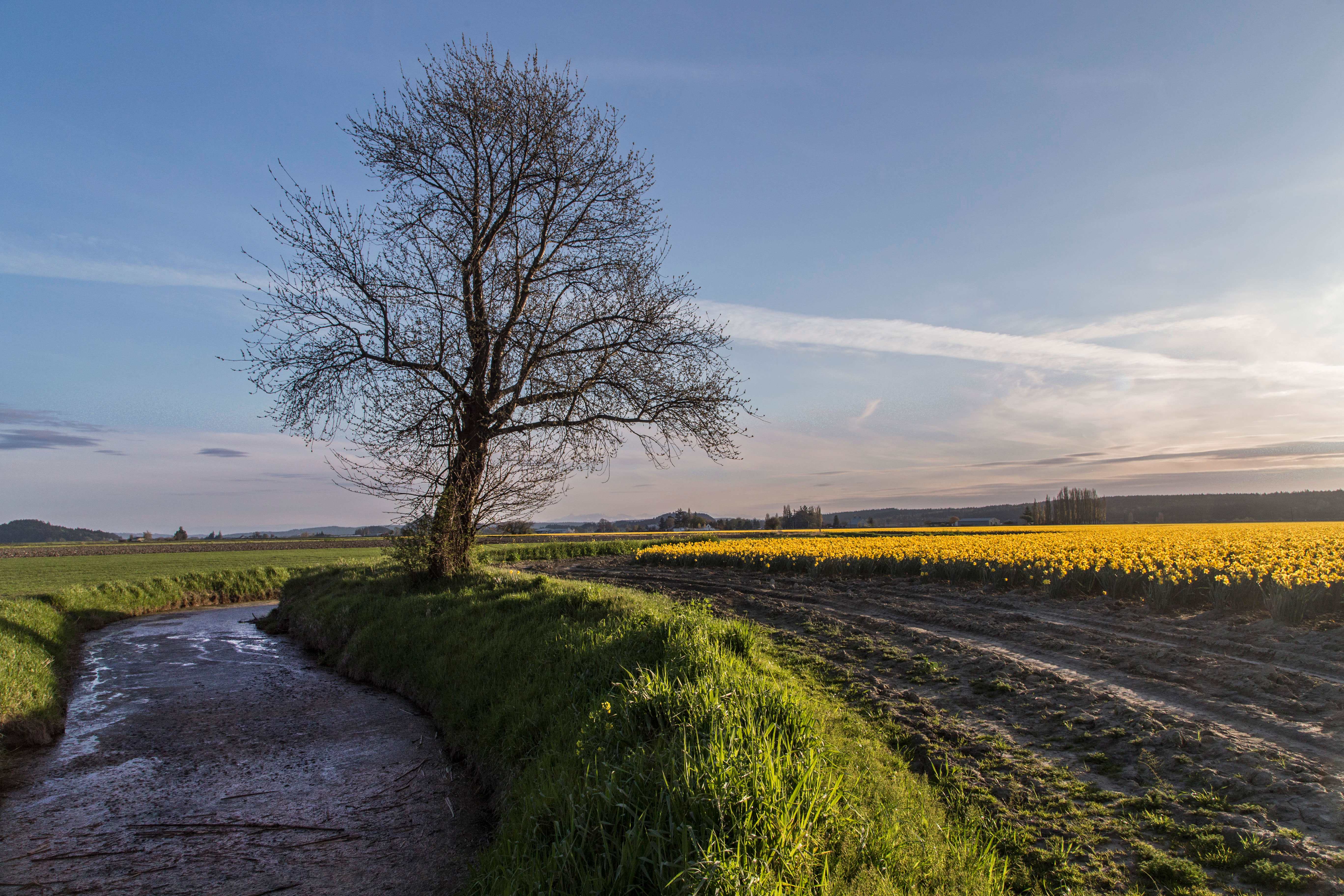
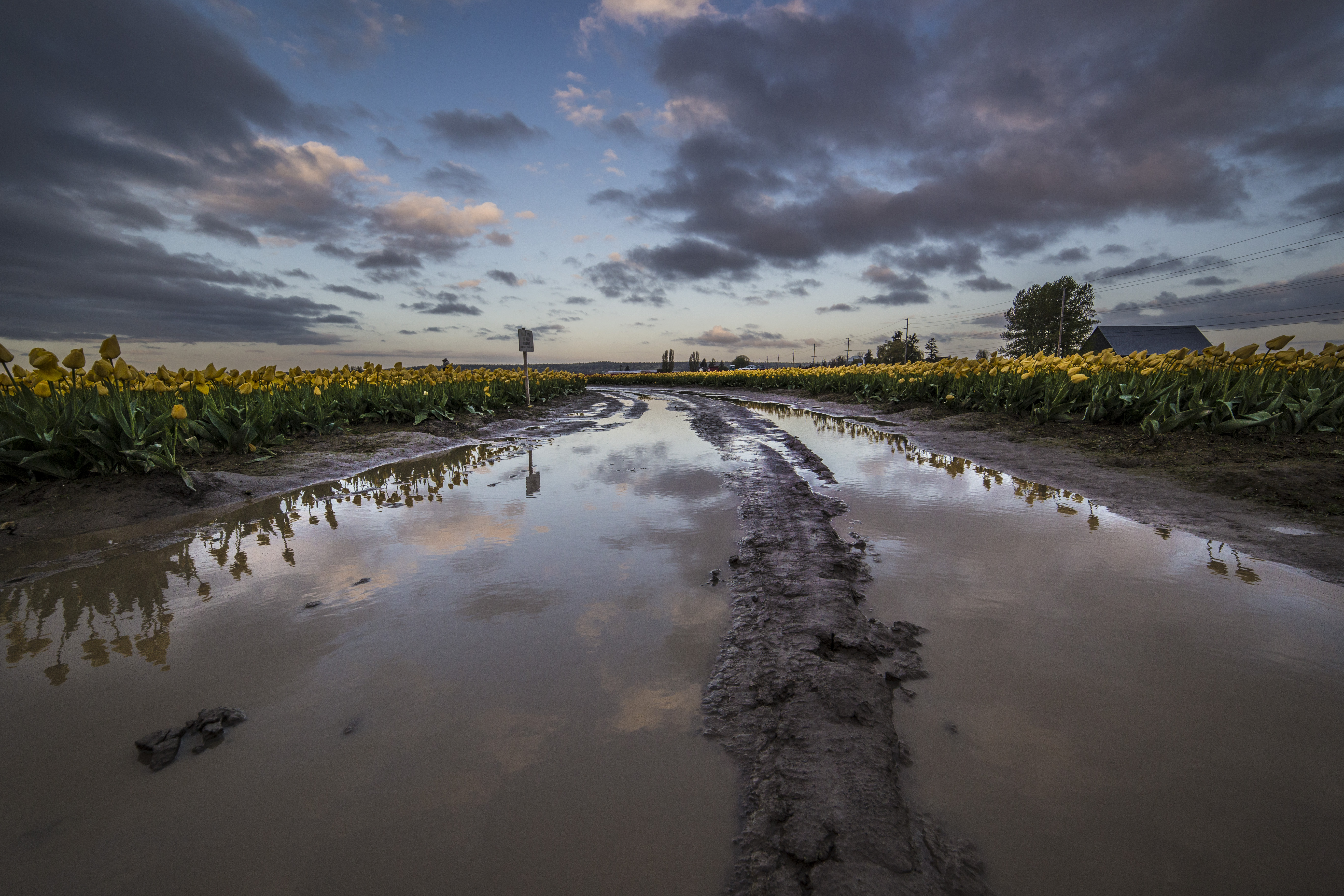
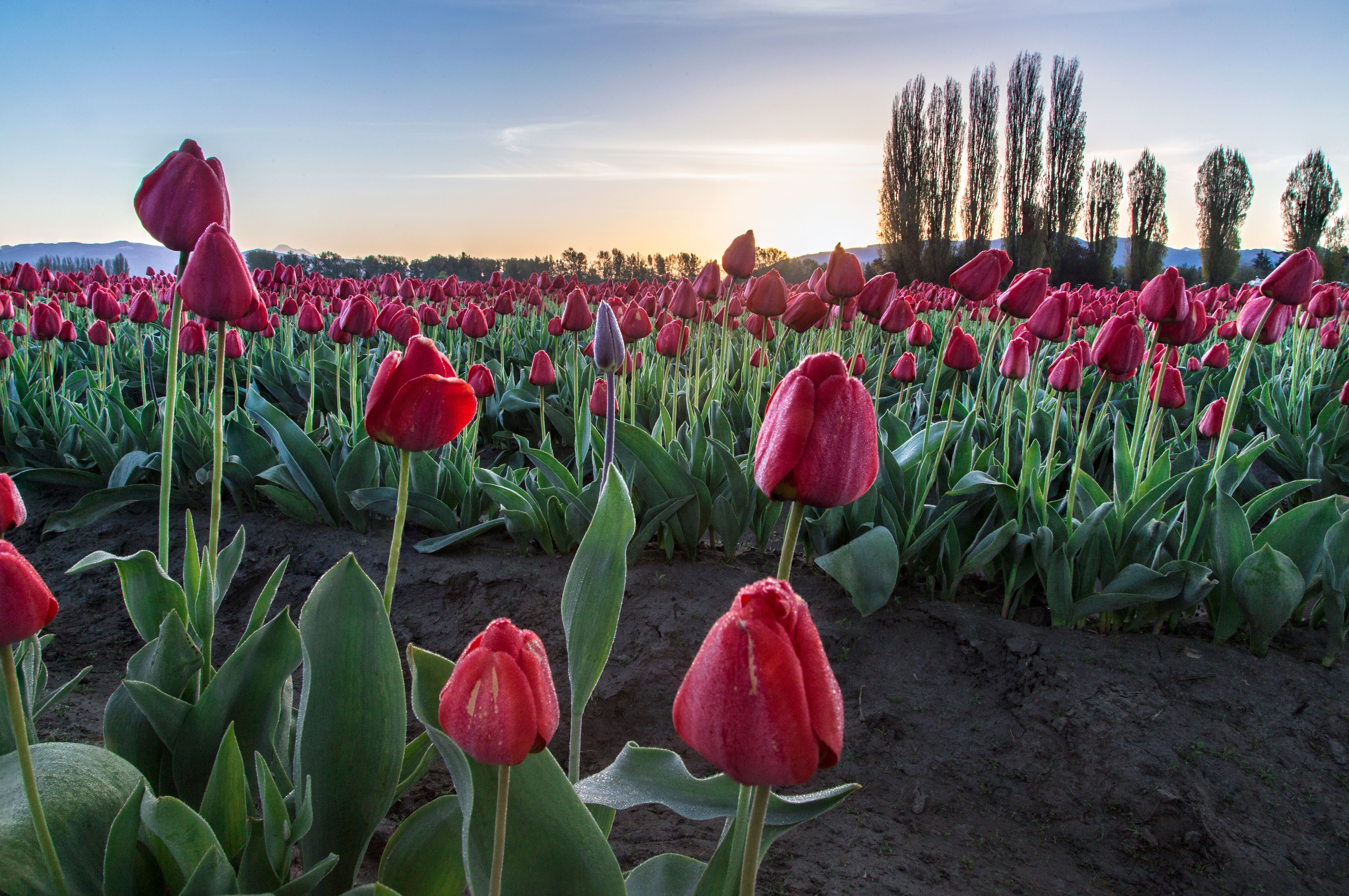
So, here is a sampling of my favorite images of the Tulips (and Daffodils!) from this year!
rows-tulips-2a1a1a

tulips-9m

tulips-10m

daffodils-3m

rows tulips 1m

rows-tulips-3m

tree-3m

tree-7m

tree-8m

tulips 11

tulips-3m

tulips-6m

Untitled-4

On the Cover of Northwest Travel magazine

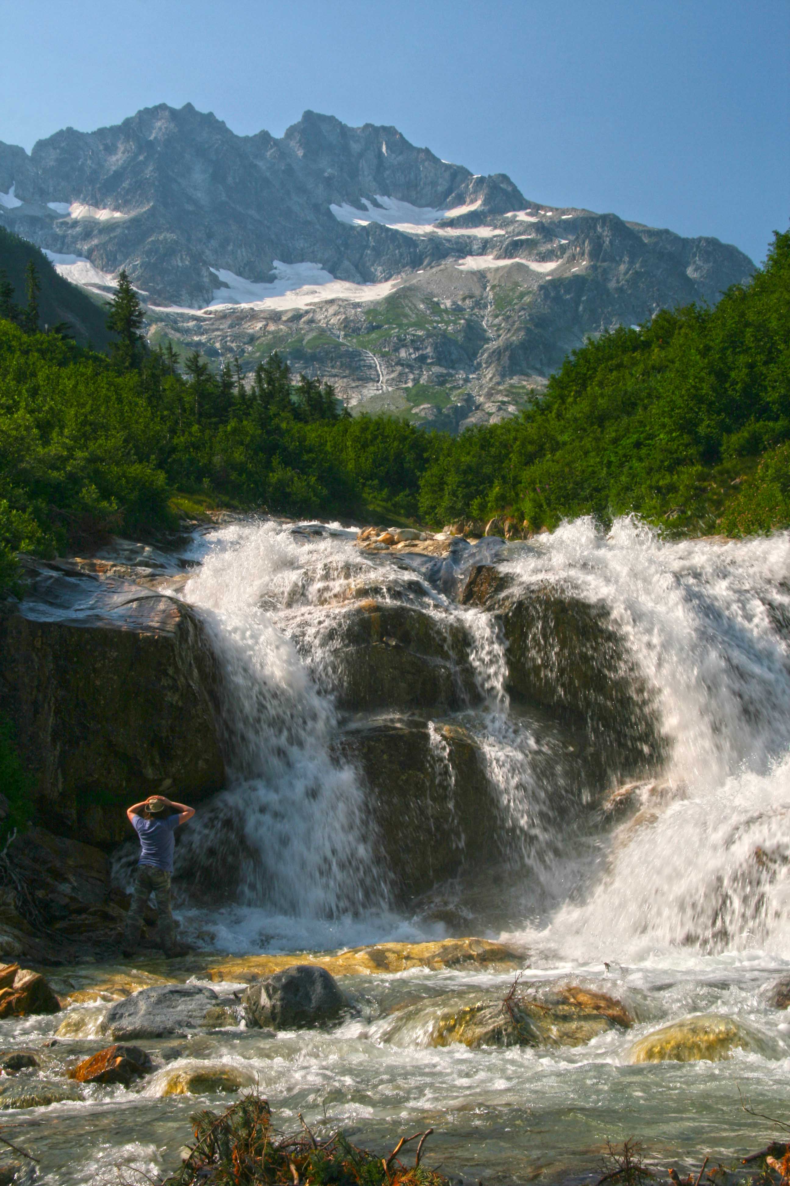
Here is an image I captured and it is now on the cover of the May/June Issue of Northwest Magazine! The image is Mount Logan and a waterfall on the North Fork Bridge Creek Trail, North Cascades National Park. One of my favorite places in the North Cascades…Here is a link describing how to get there!
Northwest Travel May June 2014
Here is my full sized original image:
Mount Logan from North Fork Bridge Creek, North Cascades National Park

“Wilderness 50” Celebration

2014 marks the 50th anniversary of the signing of the Wilderness Act. In September of 1964 President Johnson signed into law the Wilderness Act, one of the most important pieces of legislation in the US regarding protection and preservation of Wilderness.

Wilderness 50 “The 50th Anniversary National Wilderness Planning Team (Wilderness50) is a growing coalition of federal agencies, non-profit organizations, academic institutions, and other wilderness user groups whose purpose is to plan and eventually implement local, regional, and national events and projects, specifically designed to elevate the profile of wilderness during the 50th anniversary celebration.”

One of their programs was to hold a photo contest and use the winning images as a part of their plans to inform people about the significance of the Wilderness Act.

More than 50 images were chosen and these will be displayed as large format prints in the Smithsonian Museum, in Washington DC starting in September!

I submitted several images to the competition and this image, here was chosen as an Honorable Mention in the People in Wilderness Category and will be used on signage for the various events and displayed in the museum.
Morning at Sahale Glacier Camp Sahale Glacier Camp in the Steven Mather Wilderness in North Cascades National Park, in Washington.

As a part of the process I was asked to submit a personal story about the image. Here it is:

“My connection with wilderness began when I was 16. I spent a month in the Sawtooth Wilderness in Idaho, learning how to backpack, climb and survive. The trip changed my life and encouraged me to continue. Treks along the Pacific Crest Trail and the Andes followed.

Then my life changed again and I was off on a different purpose. For almost 20 years I followed the light only to wind up in the darkness. And then I felt the wilderness call to me again, beckoning me back into her arms.

I had packed my old life in boxes and uncovering them produced an old hiking guide. I scoured it and found the most exciting sounding trip in there, recruited a few friends to accompany me and off we started.

I had forgotten what mileage and elevation gain portended and as we began our trip up to Sahale Camp. It slowly came back to me, what sweat and struggle were all about.

We finally made it to the camp well after dark and collapsed in our tent.

This image was captured the next morning. My life was changed anew; I had found a new purpose. Wilderness had rescued me again.”

I am excited and proud that any image of mine would be used to promote and protect wilderness!

Zion Canyon, Zion National Park

One of the most commonly captured images is from this view point, on the bridge over the Virgin River. The main highway makes a sharp curve and crosses this bridge. You will often see the bridge lined with photographers.
This shot was taken at about midnight, with a Canon 6D and a Rokinon 14mm lens.
I just got lucky on the satellite crossing and of course Orion looks stunning hovering above the scene…
Zion River and Orion

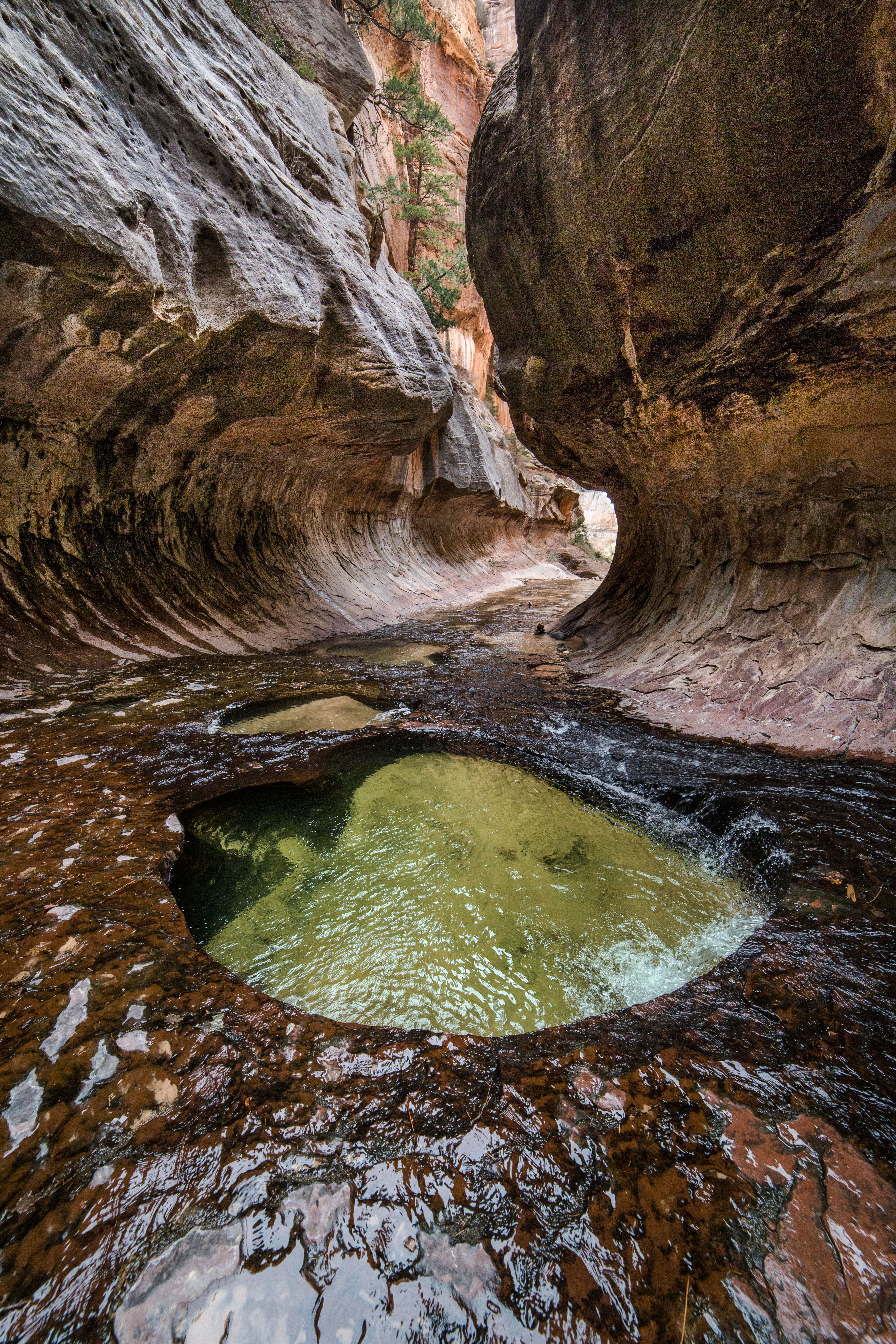
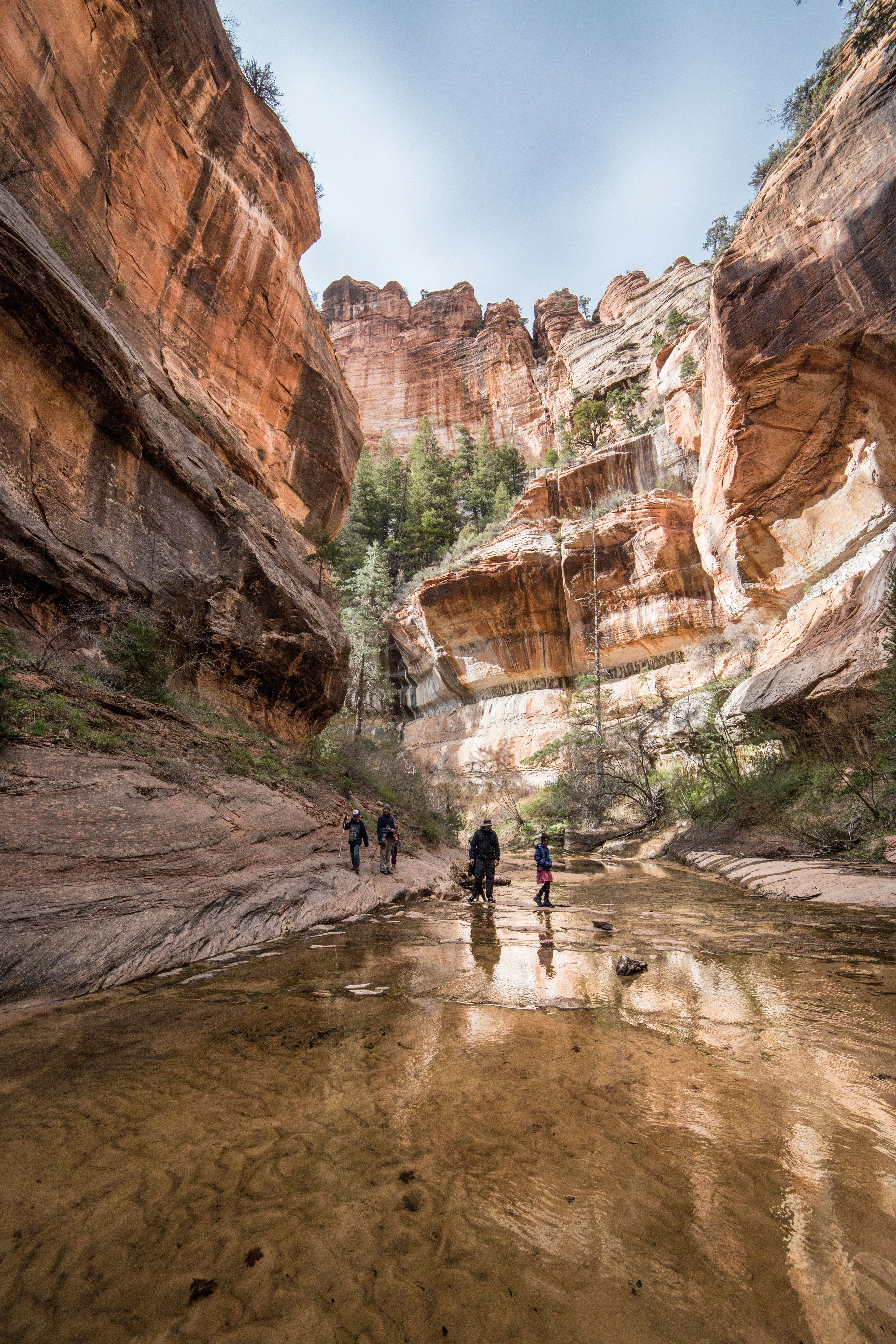
More images from Left Fork Canyon, Zion National Park

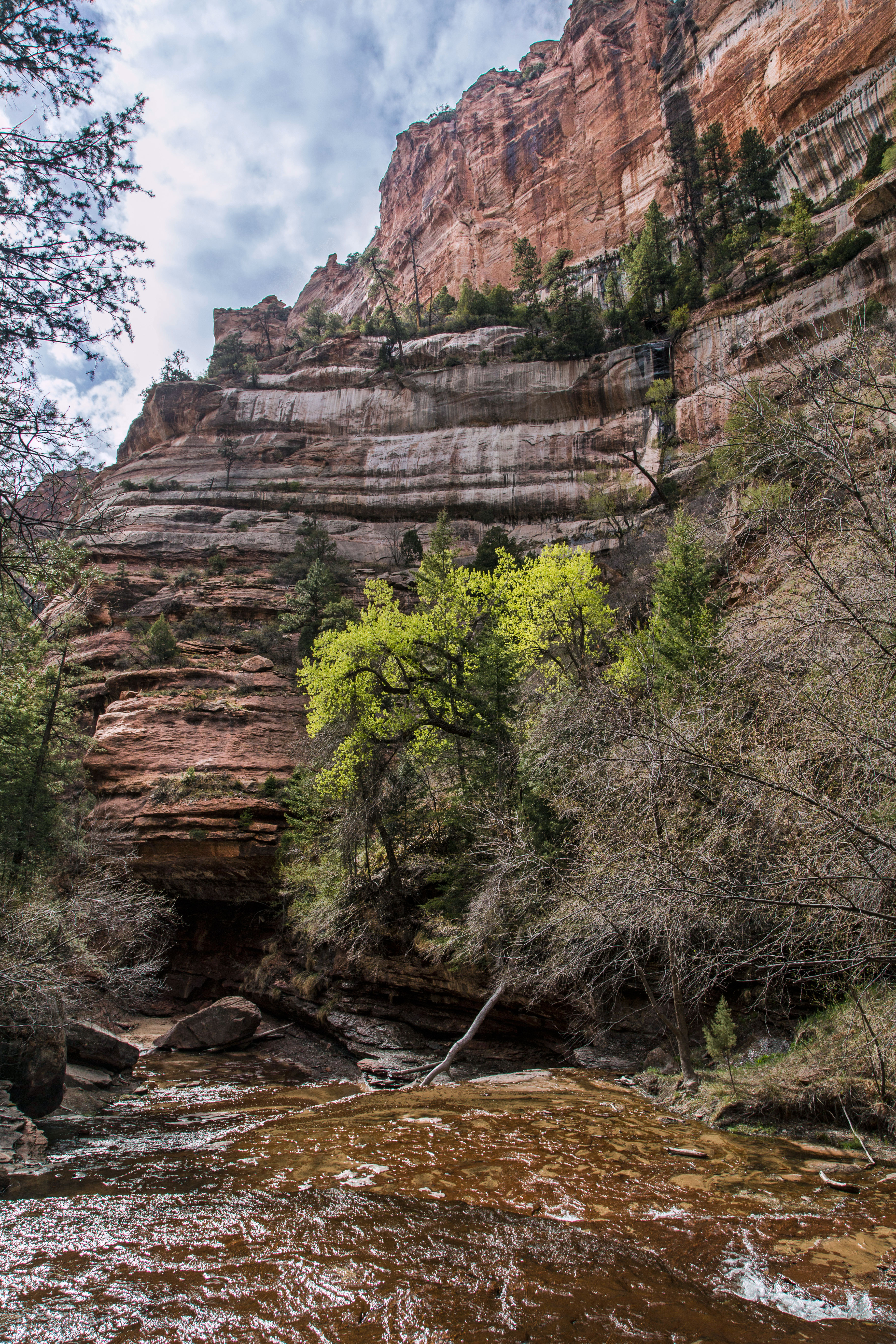
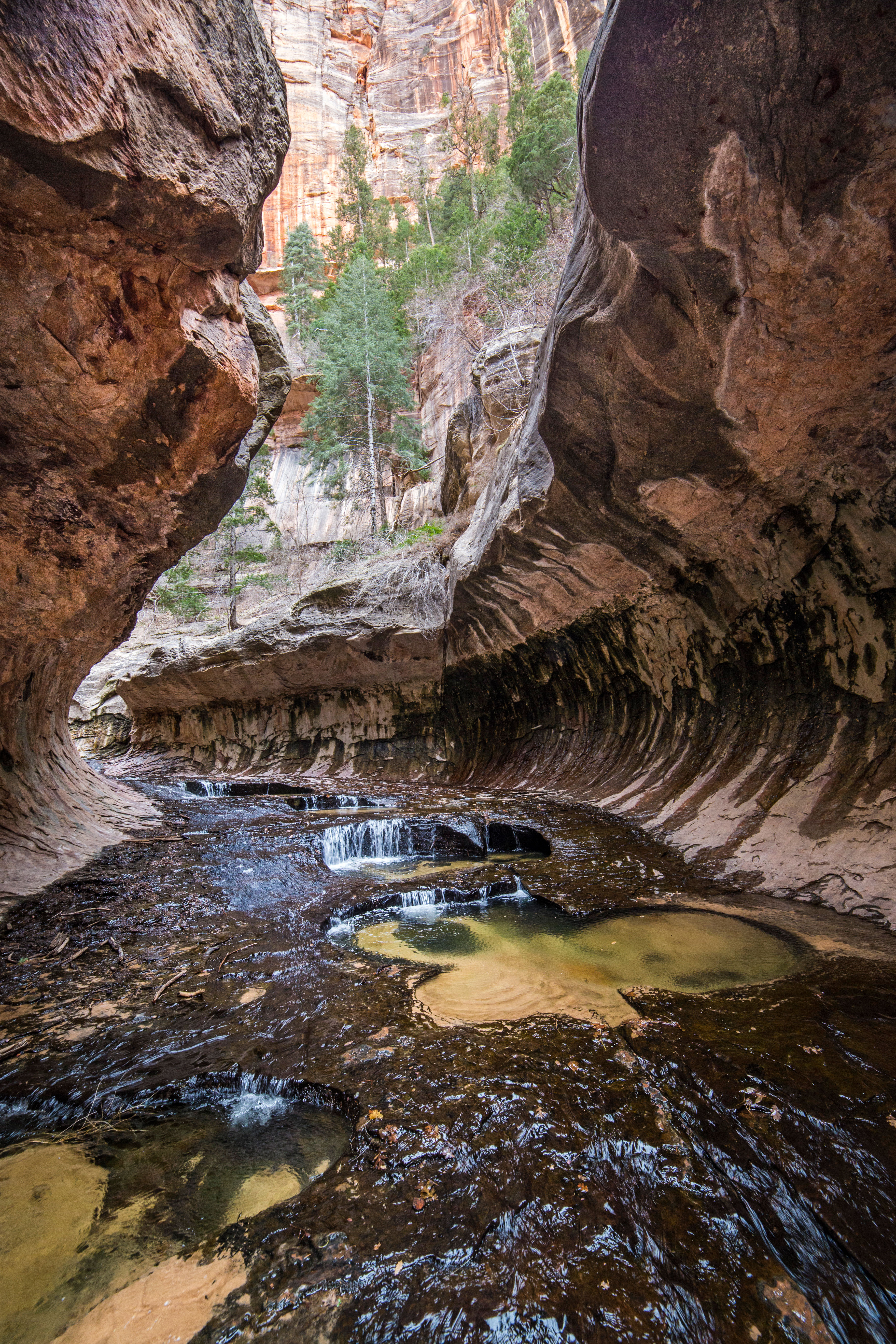
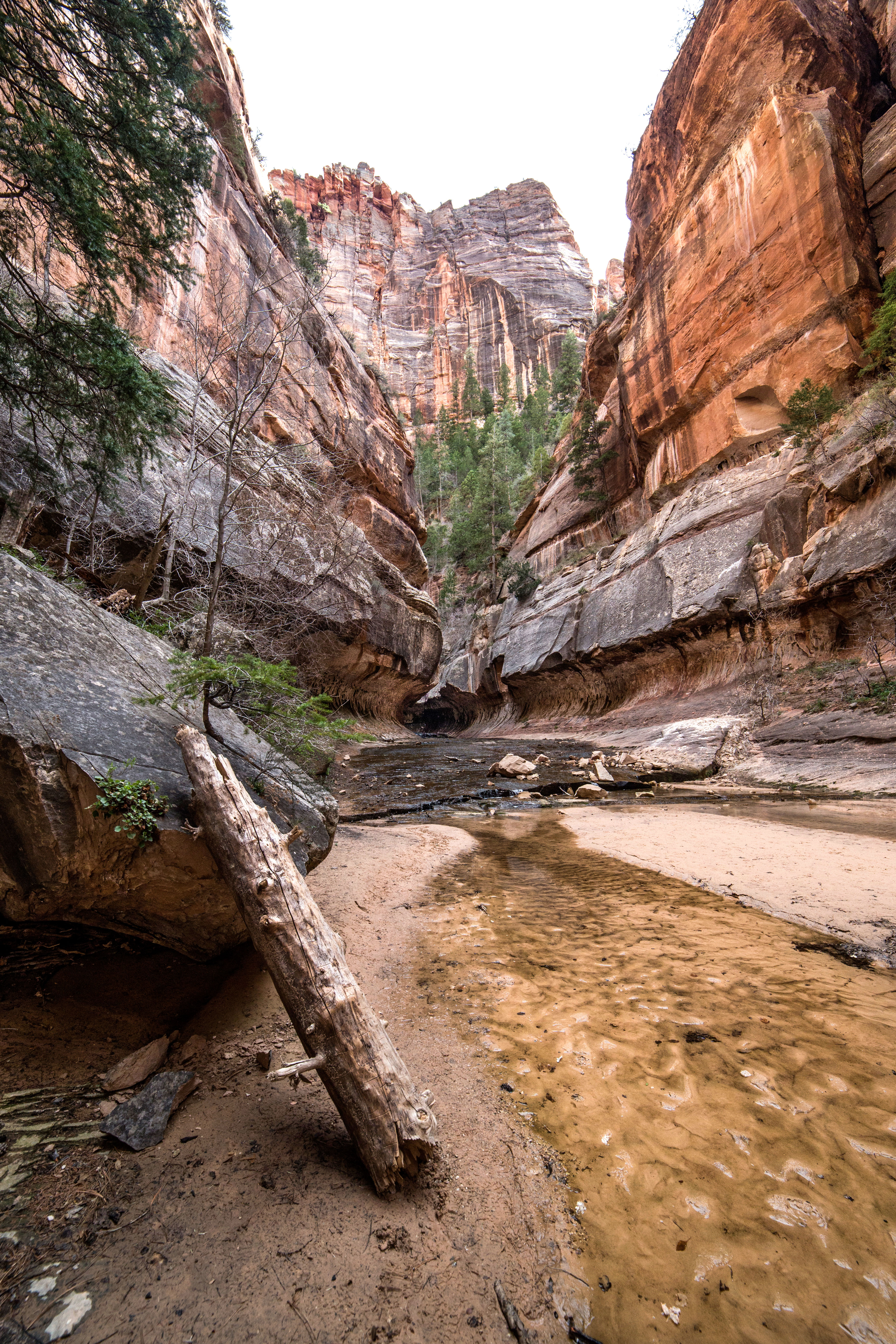
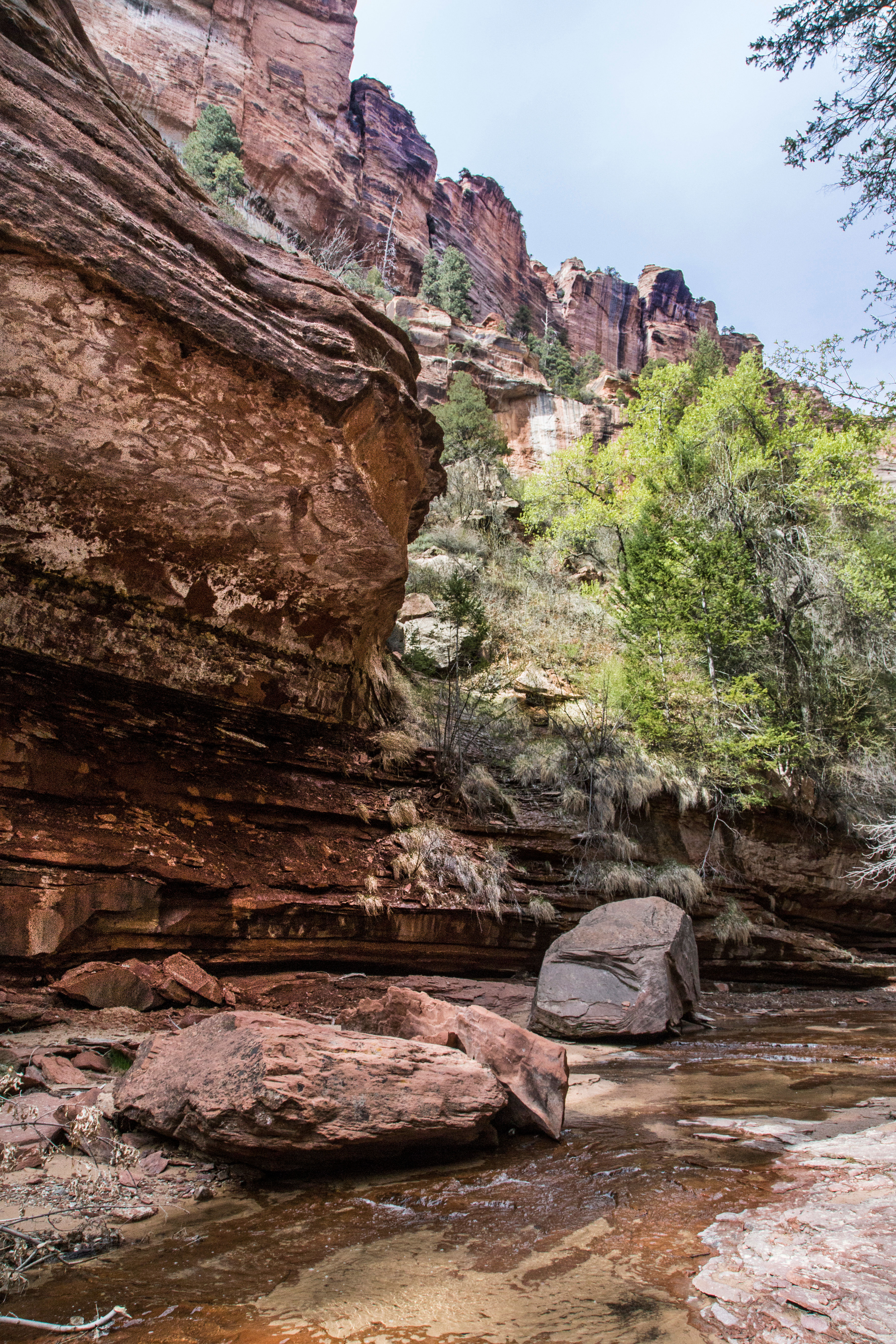
Here are some more images from the “Subway” hike up Left Fork Canyon in Zion National Park. My last post with images from this trip included some info about permits and getting there and all that, so this post will just have images and some photo data.

Left Fork Canyon, Zion National Park

Left Fork Canyon, Zion National Park

Left Fork Canyon, Zion National Park

Left Fork Canyon, Zion National Park

Left Fork Canyon, Zion National Park

Left Fork Canyon, Zion National Park

Left Fork Canyon, Zion National Park

Left Fork Canyon, Zion National Park

Left Fork Canyon, Zion National Park

Left Fork Canyon, Zion National Park

Left Fork Canyon, Zion National Park

Left Fork Canyon, Zion National Park

Left Fork Canyon, Zion National Park