Maple Pass – Lake Ann Loop, North Cascades

The weather forecast called for a 40% chance of thunder showers, a perfect afternoon to head up into the North Cascades.

Lake Ann, from the Maple Pass Trail.

Lake Ann, from the Maple Pass Trail.


Lake Ann framed in Fireweed

Lake Ann framed in Fireweed

The 7-mile loop trail is perfect. The parking area is right off of the highway, at Rainy Pass which is about 4,800 ft elevation. The trail switchbacks up through thick forest, swings along side an open curved slope and climbs to the junction with a spur trail to Lake Ann. Continuing up, you break out of the trees as the path angles up, above the lake, on its way to Heather Pass. There are camping spots here, and often water. Every step from here is better than the last, the views open up: Cutthroat Peak is right across the highway, Black Peak and the spikes of Early Winter Spires and countless other peaks all adorn the horizon.

Maple Pass Trail: Switchbacks headed down

Maple Pass Trail: Switchbacks headed down

Meadows of Green and Storm Clouds

Meadows of Green and Storm Clouds

Once you reach Maple Pass you can see south, into the Glacier Peak Wilderness and beyond. Soon the trail reaches its highest point and you can see the switchbacks steeply plunging down, down to the shores of Rainy Lake.

Wildflowers along the Maple Pass Trail
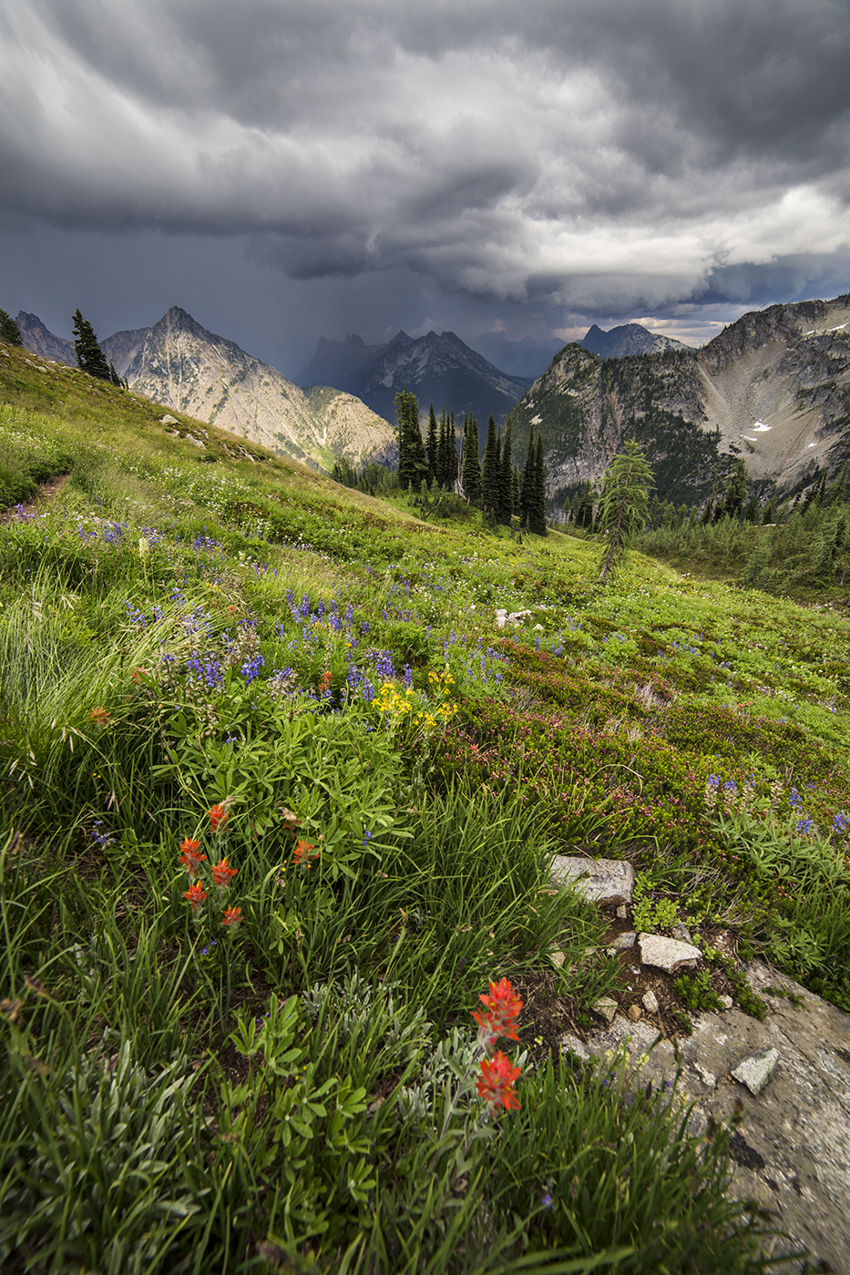
Wildflowers along the Maple Pass Trail

Storm Clouds along Maple Pass Trail

Storm Clouds along Maple Pass Trail

If you start later in the day (hit the trail at 2pm or so) you’ll get some wonderful light. Just remember to bring head lamps and flashlights for the hike down in the dark!
Goat Rocks Wilderness, Washington State

This year marks the 50th anniversary of the Wilderness Act. Washington State is blessed with more than 30 Wilderness Areas, one of which is the Goat Rocks Wilderness.
The Pacific Crest Trail passes through the Goat Rocks crossing some of the most stunning terrain along the trail in Washington.
Here are a few images from the Goat Rocks Wilderness.

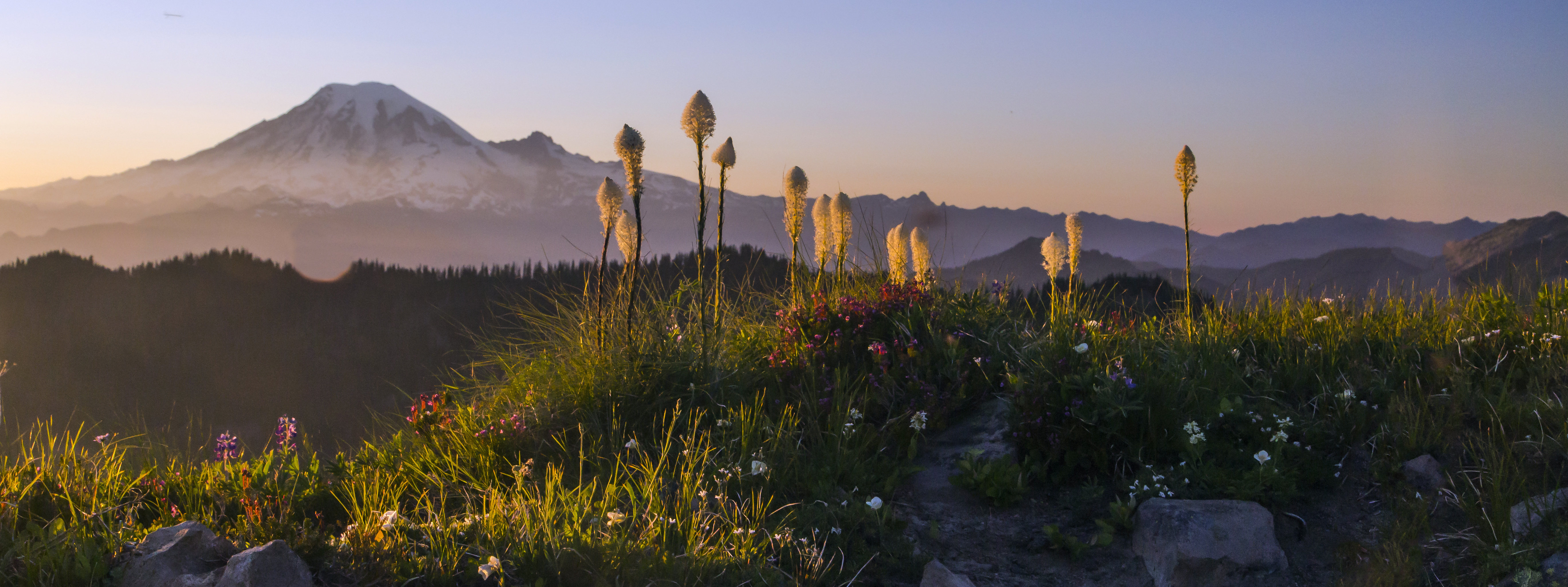
Mount Rainier and Beargrass from the Lily Basin Trail

Mount Rainier and Beargrass from the Lily Basin Trail

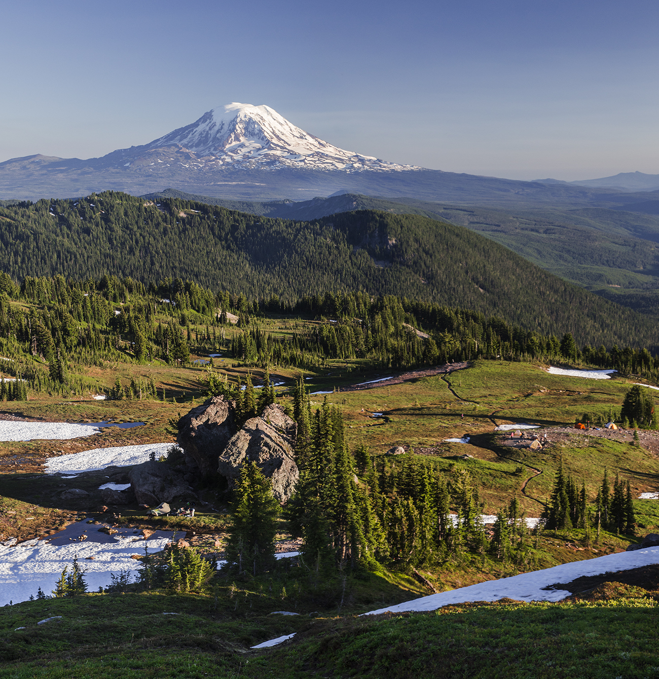
Mt Adams and the Pacific Crest Trail

Mt Adams and the Pacific Crest Trail

PCT along the Knife's Edge, Mount Rainier in the distance

PCT along the Knife’s Edge, Mount Rainier in the distance

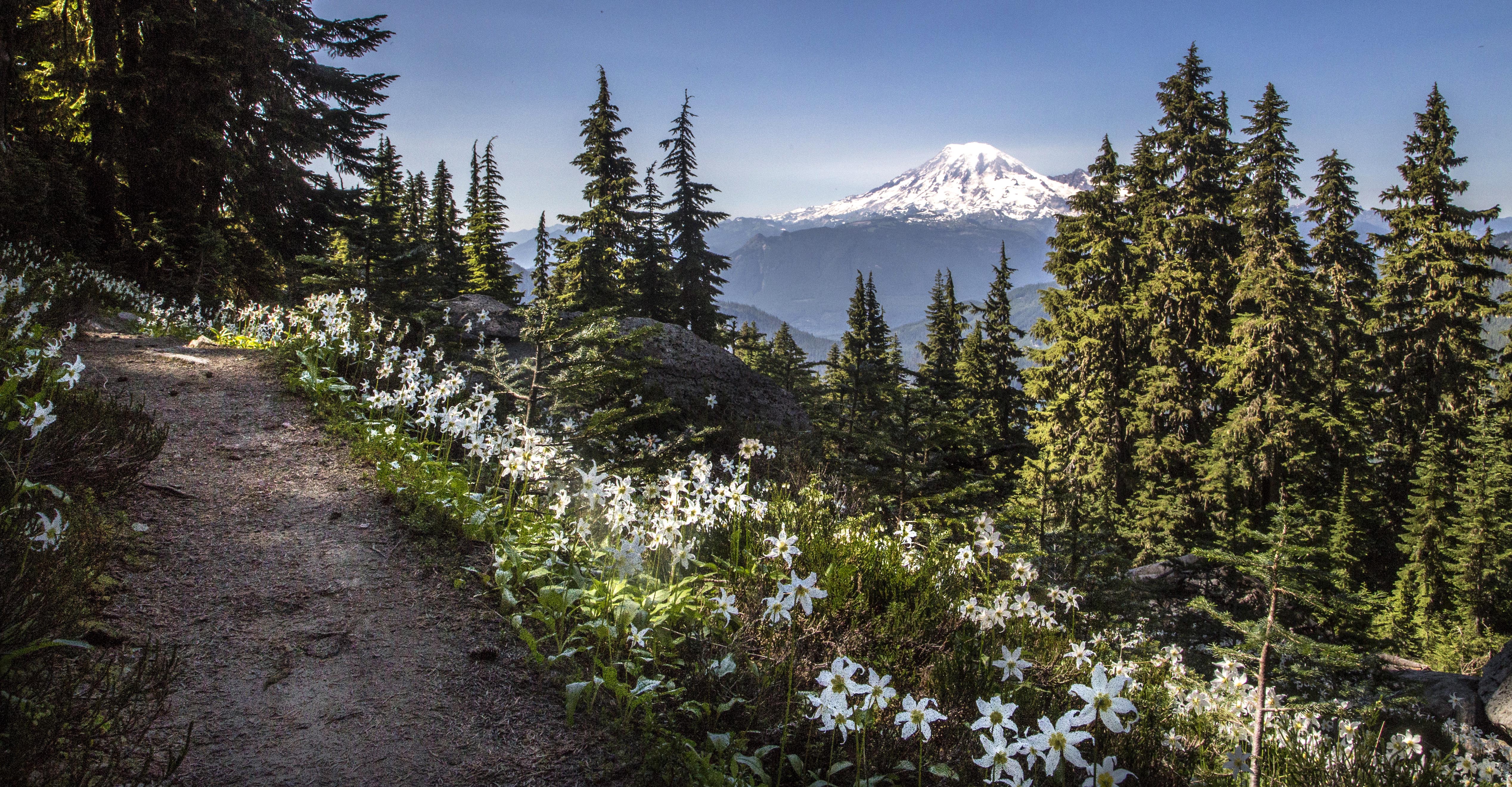
Avalanche Lilies along the Lily Basin Trail

Avalanche Lilies along the Lily Basin Trail

Pacific Crest Trail

Pacific Crest Trail

Snowgrass Flats

Snowgrass Flats

Mount Adams and Snowgrass Flats

Mount Adams and Snowgrass Flats

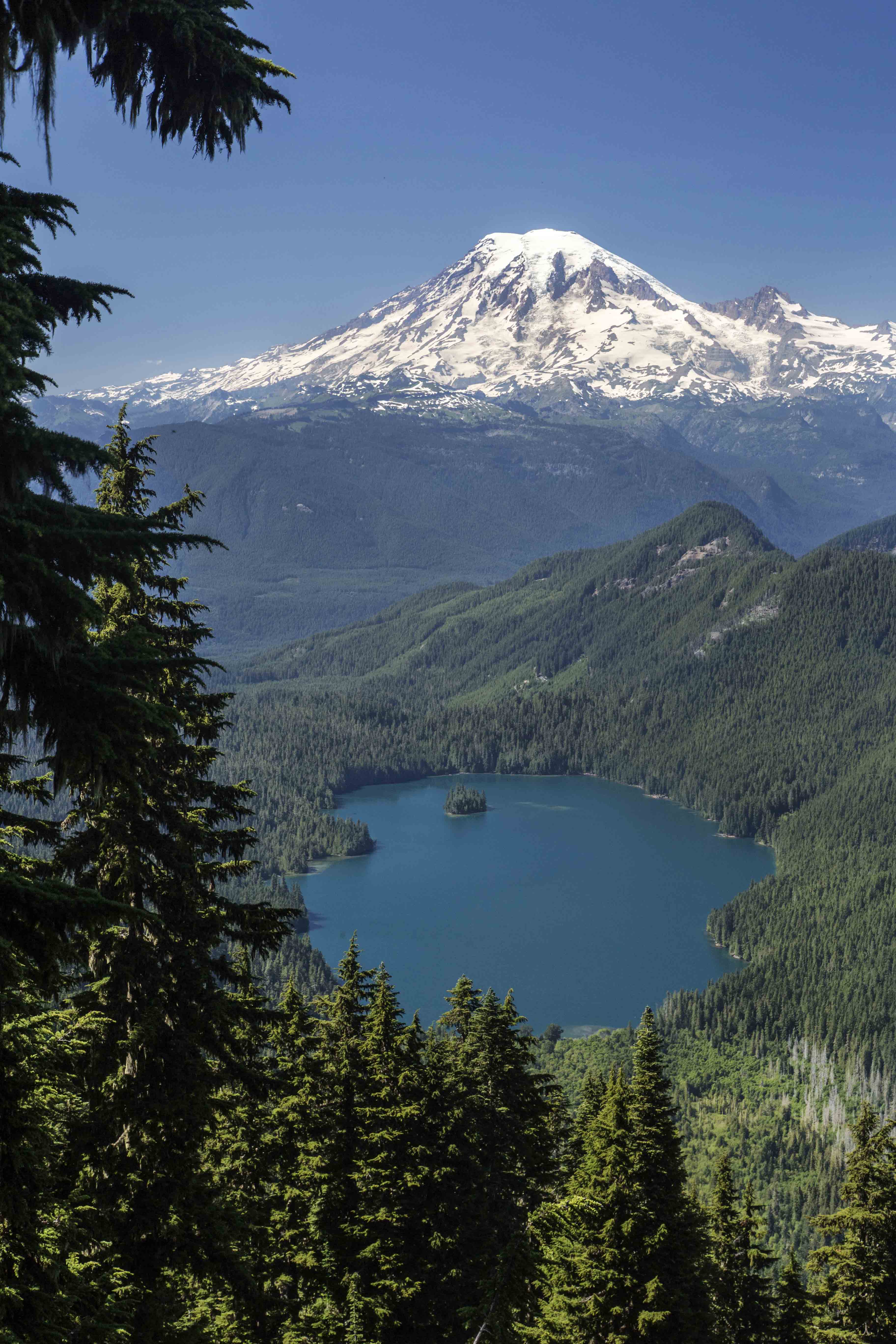
Mount Rainier and Packwood Lake

Mount Rainier and Packwood Lake

Upholstered in Lupine

Upholstered in Lupine

Cispus Basin

Cispus Basin

Morning light and Beargrass

Morning light and Beargrass

PCT Thru hiker "Thirsty Boots"

PCT Thru hiker “Thirsty Boots”

Acres of wildflowers

Acres of wildflowers

Explosion of colors

Explosion of colors

Milky Way over the Goat Rocks

Milky Way over the Goat Rocks

Nighttime in the Goat Rocks Wilderness

Nighttime in the Goat Rocks Wilderness

Skyline Divide, North Cascades

The Skyline Divide Trail is one of many off the Mount Baker Highway (Route 542) that heads up to the high country near Mount Baker. It is one of the busiest trails due to its ease of access and wonderful views.
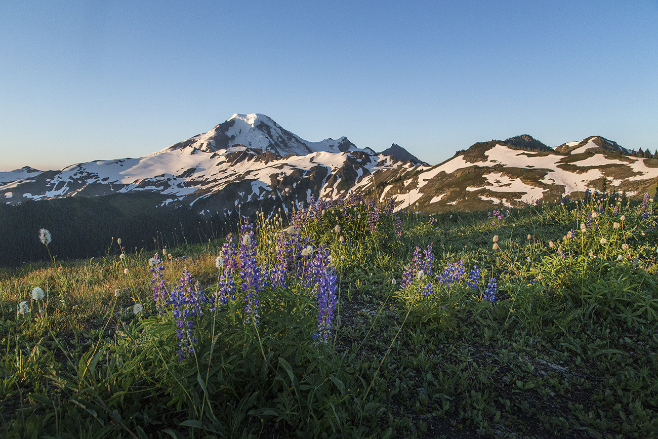
These images were captured with the morning light after camping on the ridge. The two mountains in the images are Mount Baker and Mount Shuksan. NCI trip 14a

NCI trip 8a

NCI trip 9a

NCI trip 10a

NCI trip 11a

NCI trip 13a

NCI trip 7a

Thirsty Boots on the Knife’s Edge

The Knife’s Edge is a section of the Pacific Crest Trail in the Goat Rocks Wilderness in Washington State. Here the trail has been blasted and carved into the top-most edge of the ridge.
As one heads north on the PCT the trail climbs through the colorful meadows of Snow Grass Flats, through the snow and on to rock and scree to reach a promontory on the side of Old Snowy.

Mount Adams and Snowgrass Flats

Mount Adams and Snowgrass Flats


From here the trail plunges down the Knife’s Edge towards Highway 12 and then on to Mount Rainier.
Knife's Edge, Goat Rocks Wilderness

Knife’s Edge, Goat Rocks Wilderness


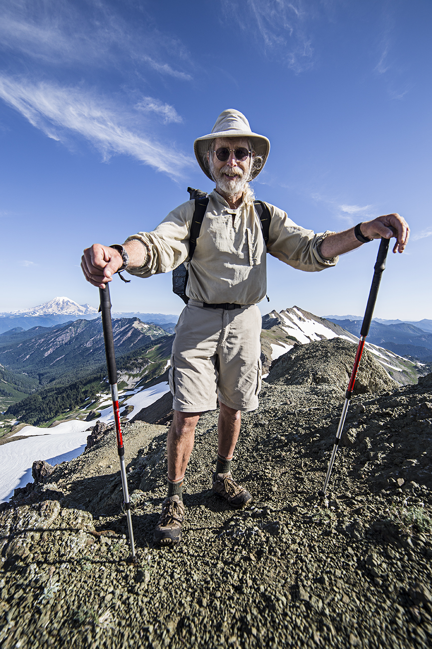
Early in the morning we hiked up to capture images and met Thirsty Boots. He was thru-hiking the PCT. I was surprised to see a thru-hiker so far north so early in the season (it was July 29th), but he explained that the snow level in the High Sierra in California was low this year making it possible to make good time.
Thirsty Boots

Thirsty Boots


I asked how long until he reached Manning Park and the end of the PCT in Canada, and he said he figured about 16 days.

We chatted for a few minutes, he seemed ready to go, but I distracted him by having him pose for more pictures while I plied him for info. All hikers going long distances pick up a nick-name, and his seemed to fit very well.

Thirsty Boots

Thirsty Boots


This was his second time thru-hiking the PCT (its 2,400 miles, end to end) and he told us that he’d already completed the Appalachian Trail and the Continental Divide Trail (3,100 miles) making him a Triple Crown Thru-Hiker.

He was very friendly and certainly didn’t seem tired, stressed or over worked. In fact he looked and acted like someone out for a stroll on a nice Saturday afternoon.

But he did seem a bit antsy to keep walking….

Thirsty Boots along the Knife's Edge

Thirsty Boots along the Knife’s Edge

Mount Baker and the Park Butte Lookout

Park Butte Lookout Under the Big Dipper

Park Butte Lookout Under the Big Dipper


The Park Butte Lookout is perched atop a ridge on the south side of Mount Baker.
The 4 mile trail switchbacks up the slopes, breaking out into Morovitz Meadows and traversing along the mountain to a last steep climb to the Lookout.
Park Butte Lookout

Park Butte Lookout


Open to the public to stay the night the Lookout provides some spectacular views.
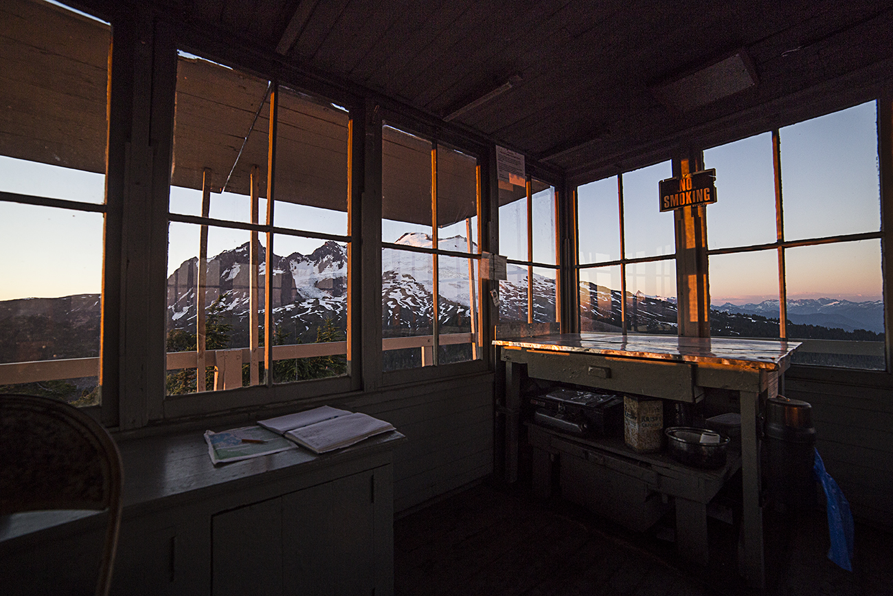
View from inside

View from inside


On this particular night I waited for the new moon so the stars would be out and managed to arrive there just as the sun set.
Mount Baker. Te ridge on the right is Railroad Grade

Mount Baker. The ridge on the right is Railroad Grade

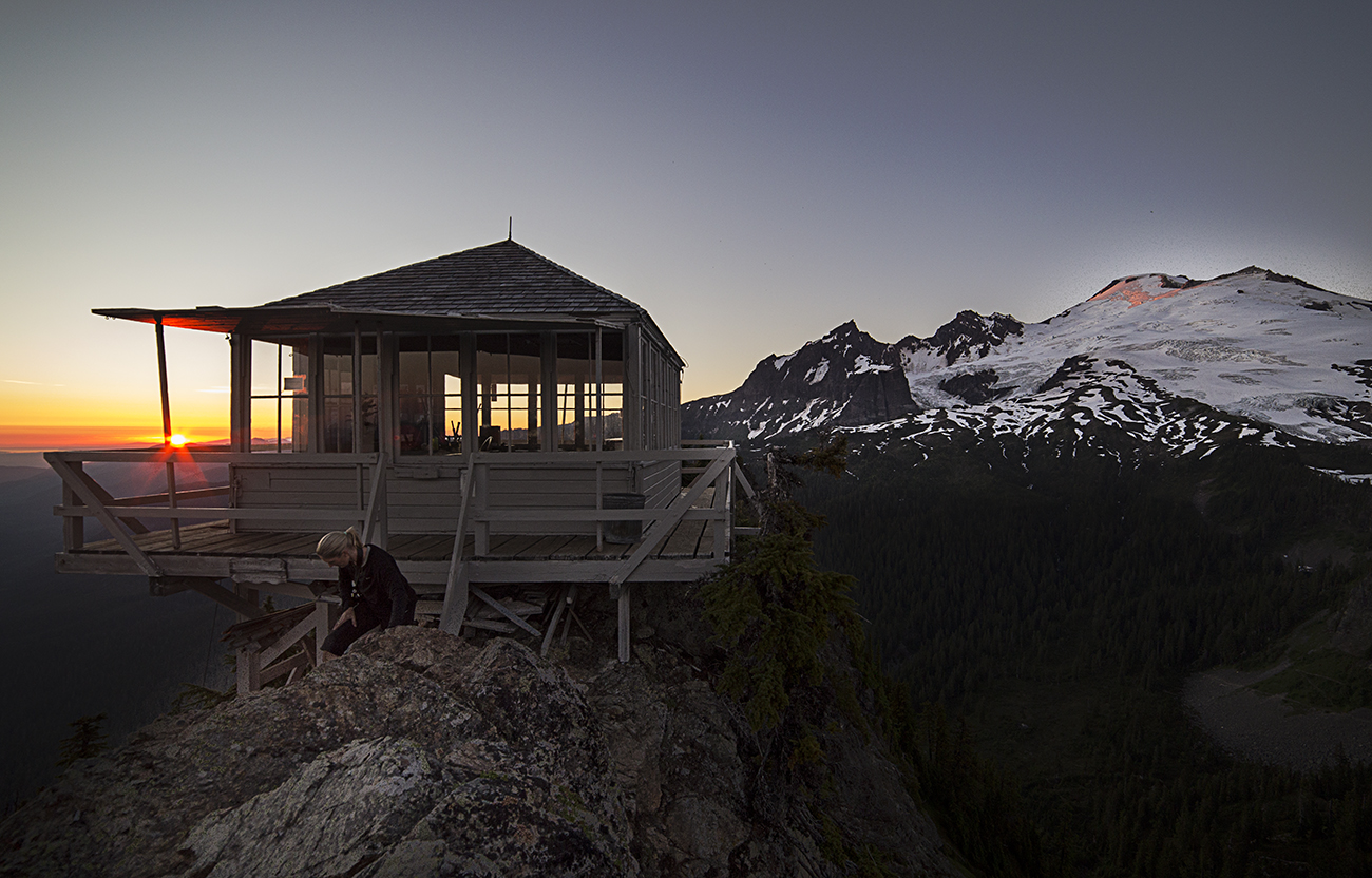
Lookout at Sunset

Lookout at Sunset


The twilight set the place aglow. Bellingham in the distance created almost too much light!
Twilight

Twilight

Big Dipper, Park Butte Lookout and Bellingham

Park Butte Lookout and Bellingham


Luck was with me, the Milky Way aligned with the summit, looking as if Mount Baker was spewing stars.
Mount Baker and the Milky Way

Mount Baker and the Milky Way

Mount Baker and the Milky Way

Mount Baker and the Milky Way


We left at midnight to hike back down and made it home at about 3am.
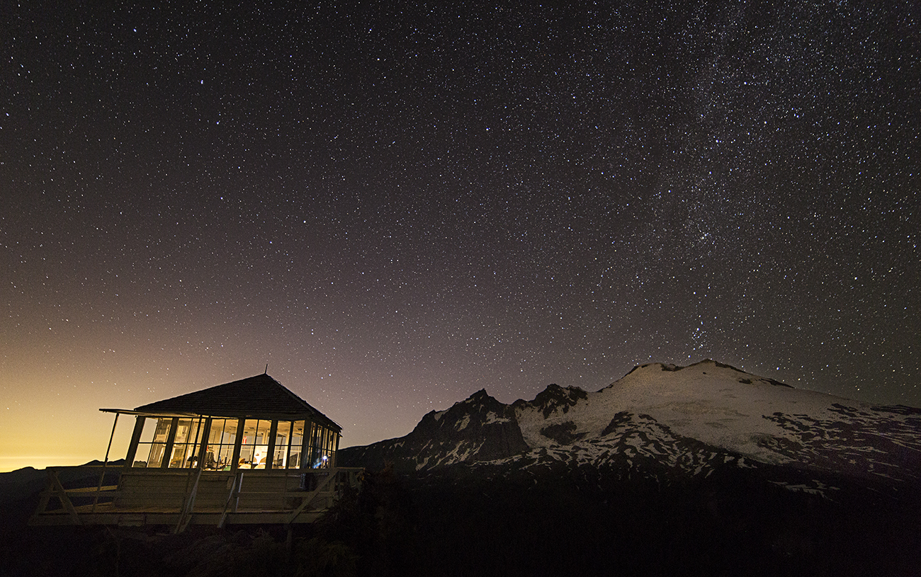
Lookout at night

Lookout at night

A very satisfying night!

A Night at Crystal Mountain

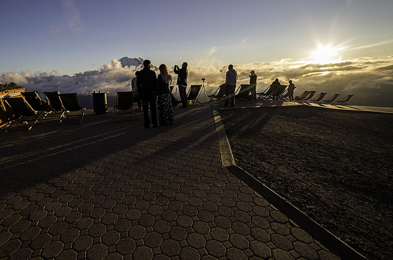
A friend invited me along for a trip to Crystal Mountain Resort, to camp out under the stars and see if we could capture images of the milky way over Mount Rainier.
The drive to the resort is itself, a beautiful ride. Arriving we purchased a gondola ticket ($22.00) and rode up to the restaurant.
We stayed overnight, taking pictures of the resort, sunset, gondola and of course, Mount Rainier. Here are a few images.

Gondola and Mount Rainier

Gondola and Mount Rainier

Admiring the sunset

Admiring the sunset

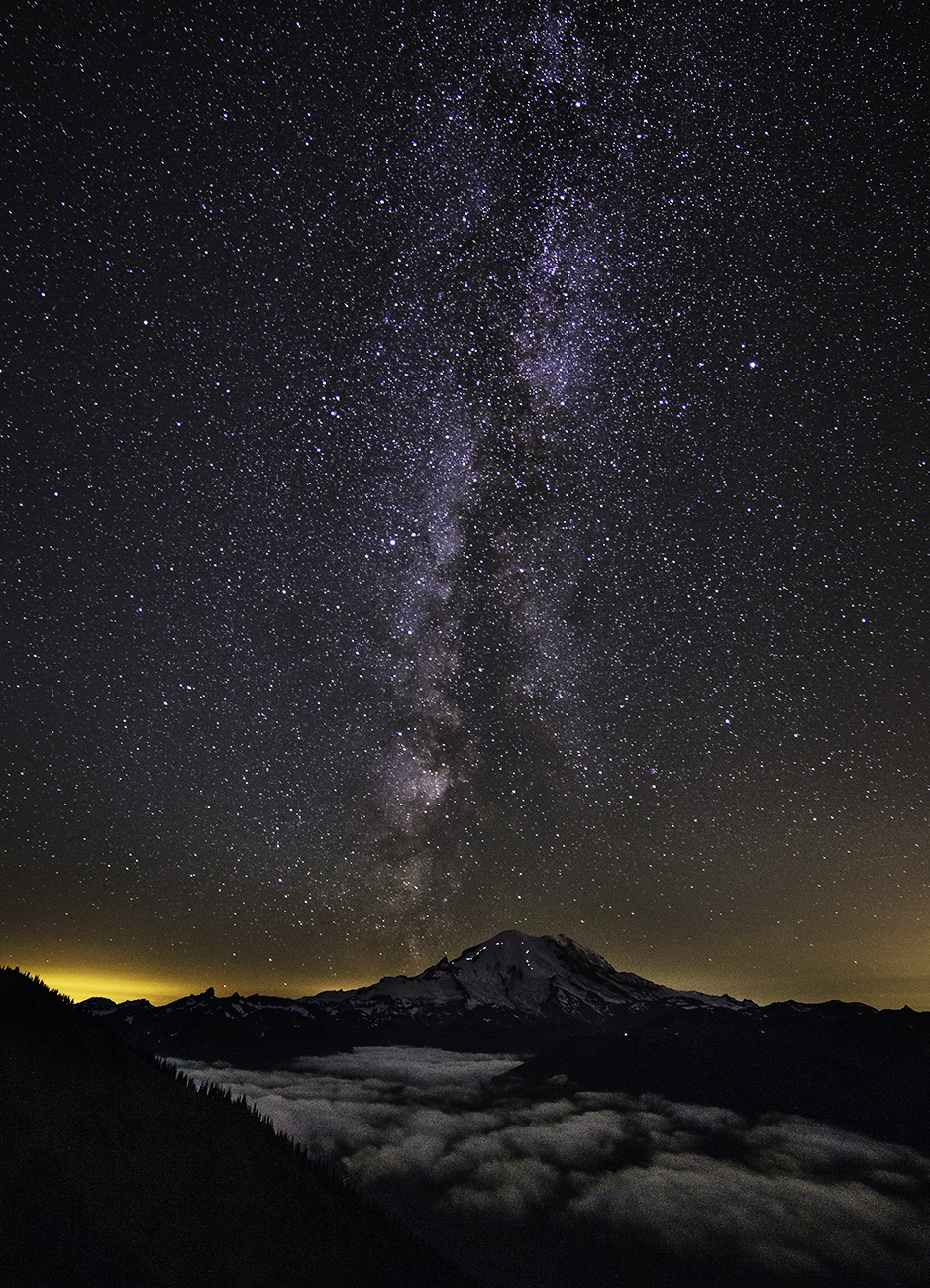
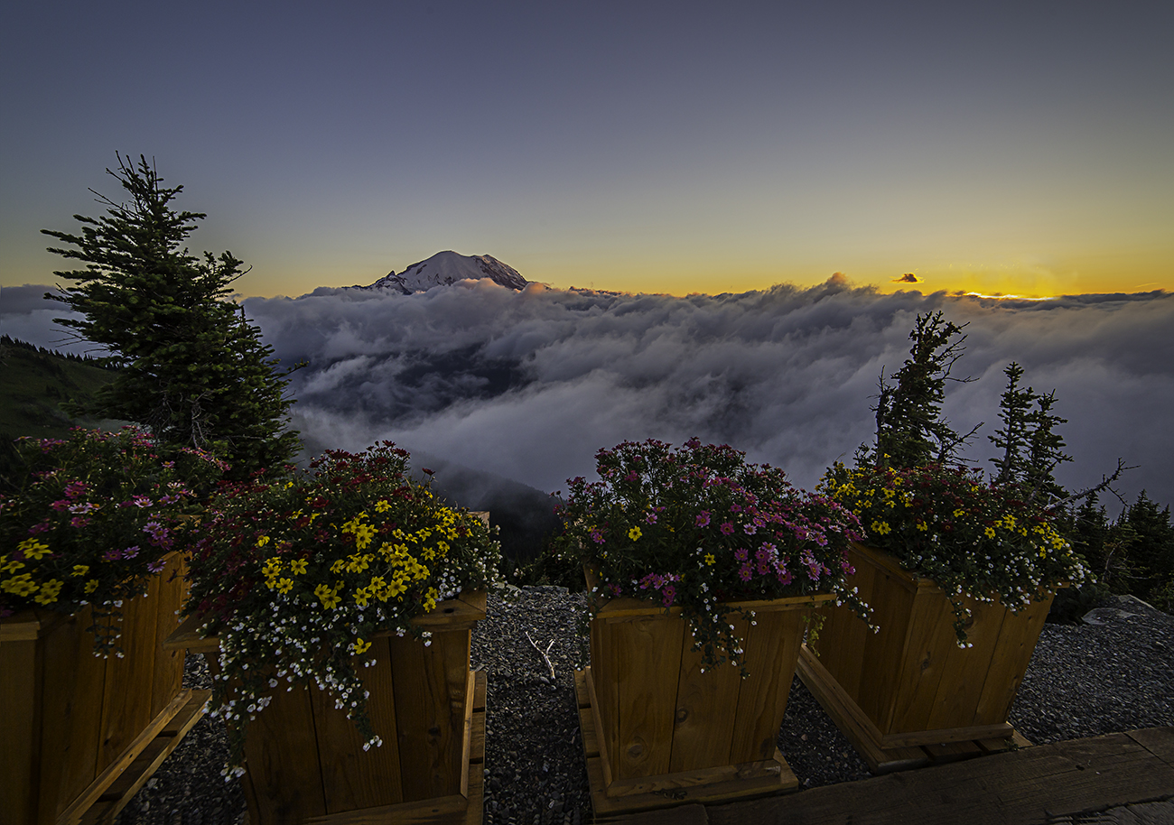
Mount Rainier and the Milky Way. The lights on the mountains flanks are headlamps of climbers headed for the summit.

Mount Rainier and the Milky Way. The lights on the mountains flanks are headlamps of climbers headed for the summit.

Mount Rainier from Crystal Mountain Resort

Mount Rainier from Crystal Mountain Resort

Mount Rainier and flowers

Mount Rainier and flowers

Riding the gondola

Riding the gondola

Crystal Resort, at night

Crystal Resort, at night

Mount Rainier

This image was taken at the Crystal Mountain Ski Resort. We rode the gondola up, stayed the night and got some wonderful pics. The two lines of lights on the mountains flank are climbers going up to the summit.

Mount Rainier from Crystal Mountain

Mount Rainier from Crystal Mountain

Wheat Field at Sunset

Yesterday, late in the gloomy afternoon, the clouds commenced to part. I headed towards the water. Capturing images of the marsh and trees and a wonderful old barn I was transfixed. The sun left, departed and so did I. As I returned to the car a sudden streak of sunlight out witted the clouds and let go of one last shout.
Luckily, by then, I had pulled over and managed to find a vantage point snap this shot.

Padilla Bay, Skagit County

Padilla Bay, Skagit County