Hozomeen Mountain

Hozomeen Mountain is a double-summited peak on the east side of Ross Lake in the North Cascades of Washington State. The name “Hozomeen” comes from the Salish word meaning “sharp like a knife,” referring to both the sharp peaks of the mountains and also chert, a type of rock commonly worked into sharp-edged tools by early Native Americans and First Nation members.

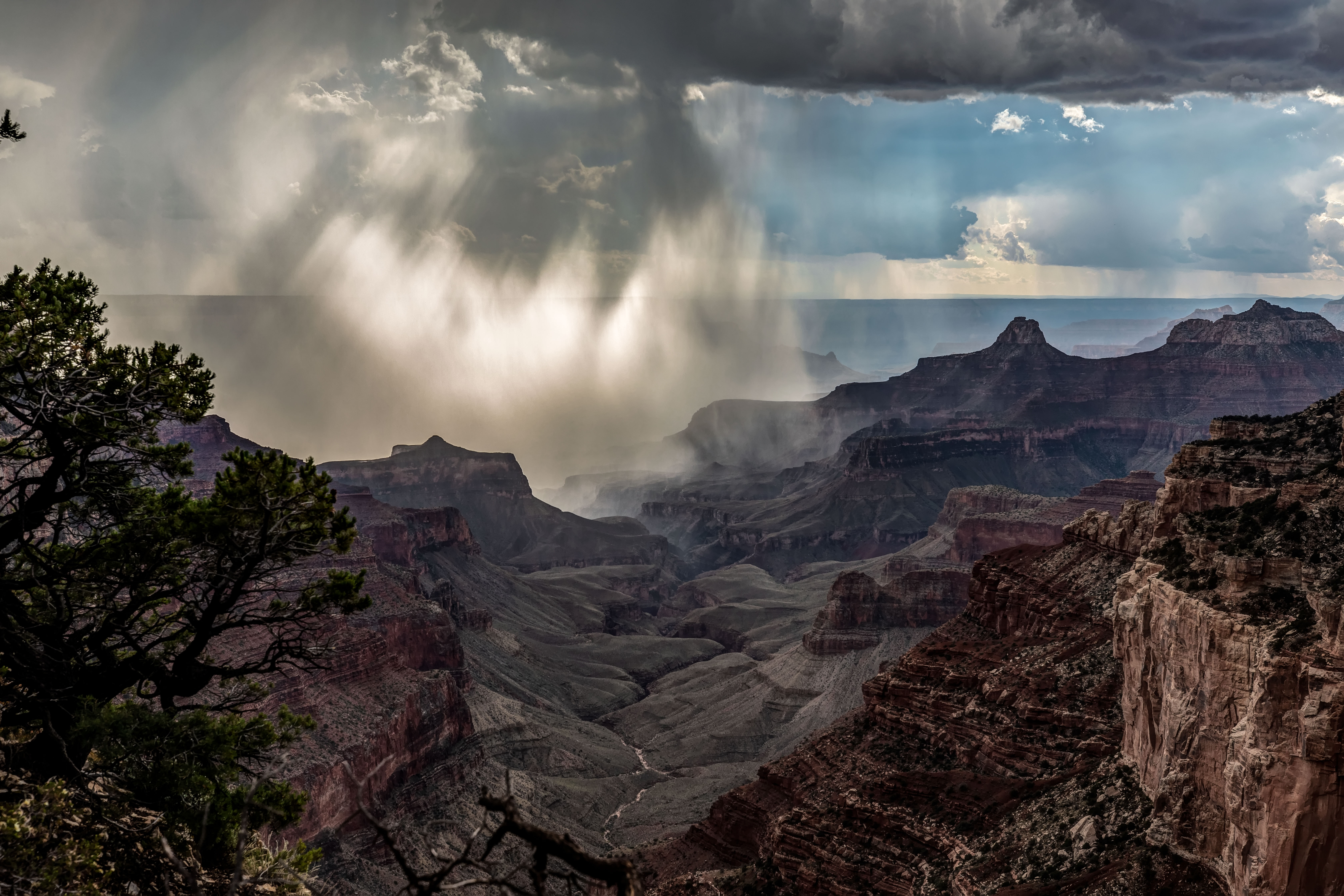
Hozomeen lies at the north end of Ross Lake, near the U.S.-Canada border. Getting there involves either a long hike or boat ride. I’ve had the good fortune to have visited the area twice.

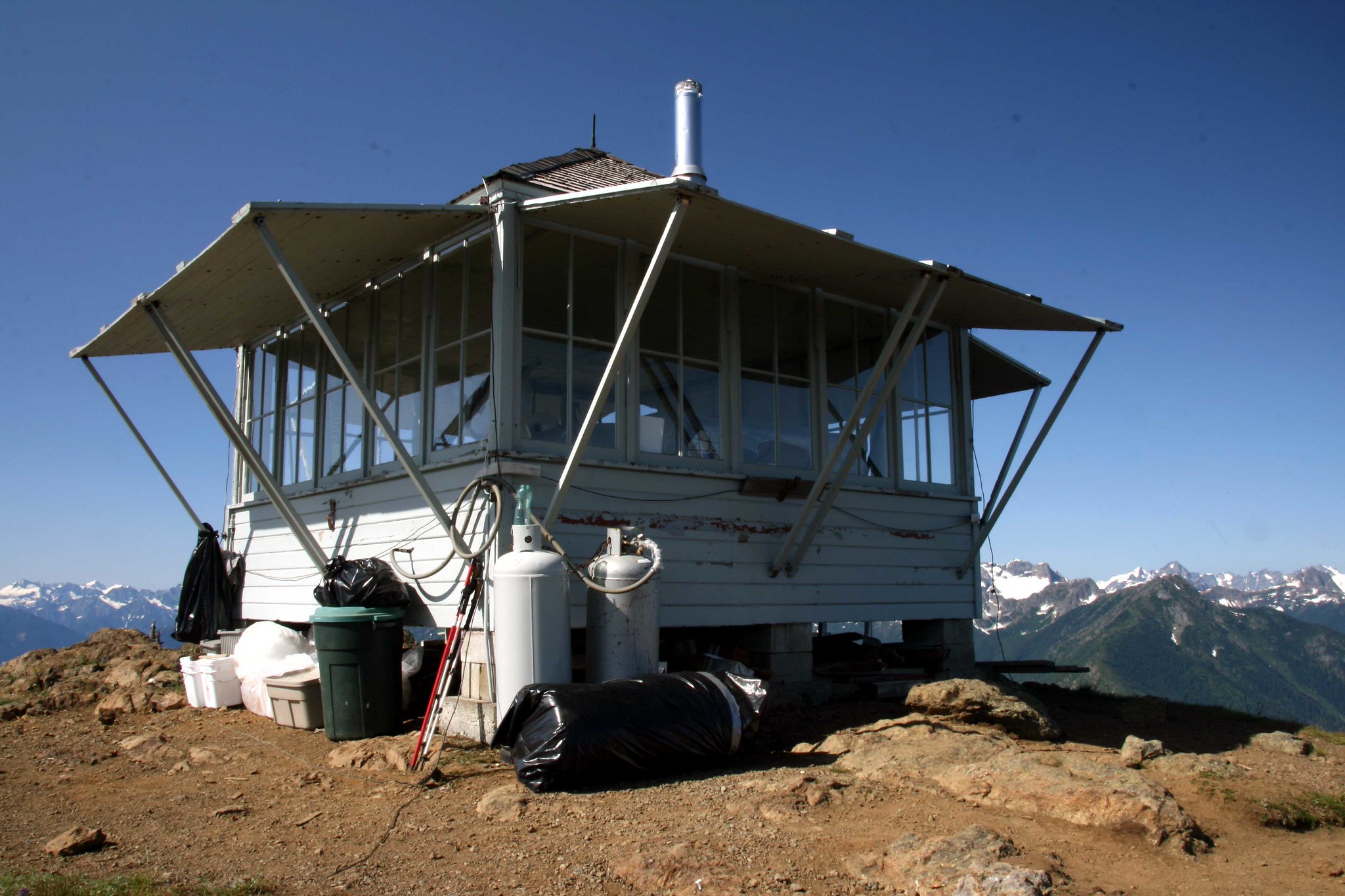
Hozomeen Mountain is very close to Desolation Peak, which has a rather famous Fire Lookout. From Ross Lake the hike is 4.5 miles and 4,500 feet elevation to the top of Desolation Peak. The views are amazing!

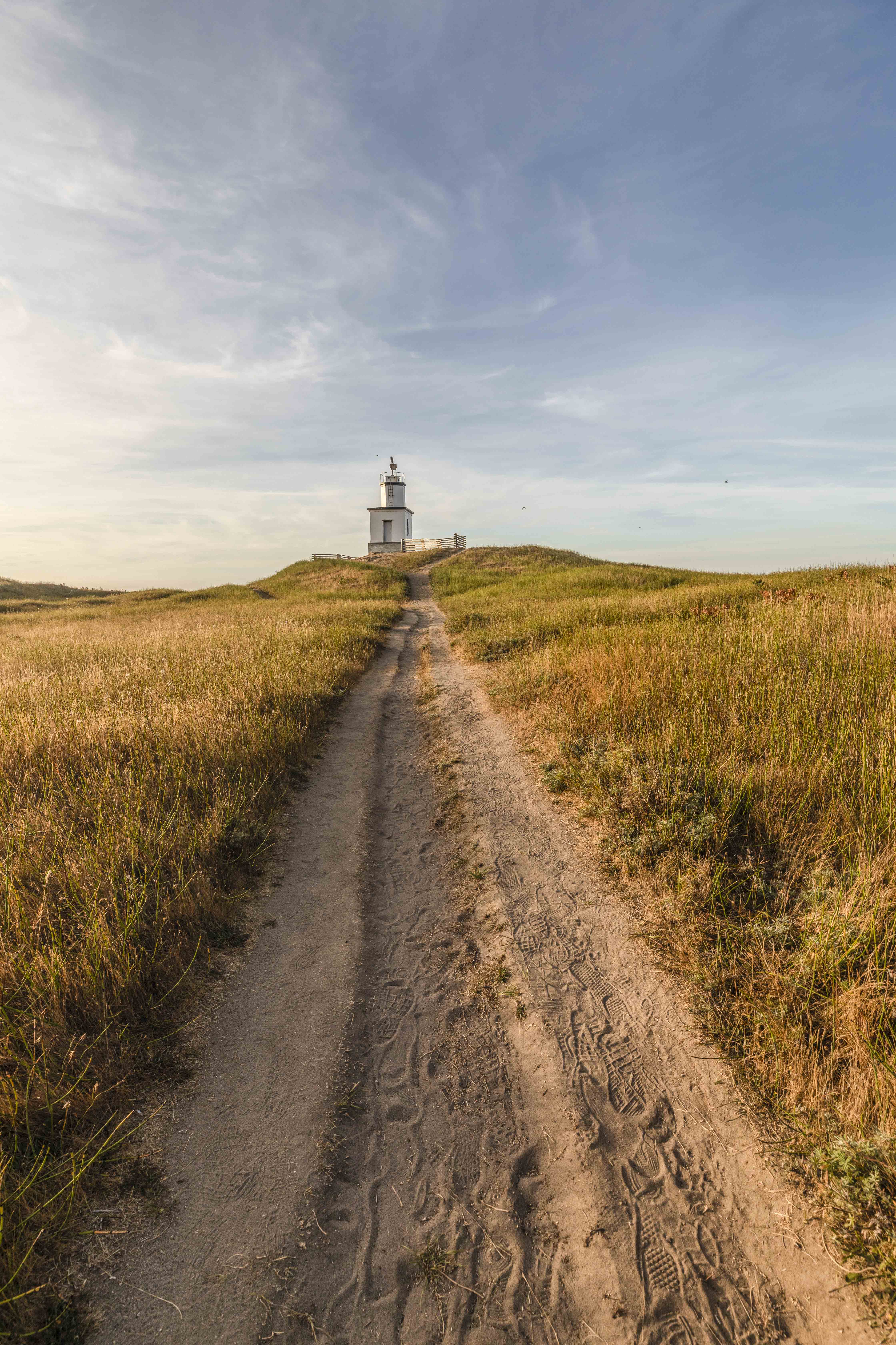
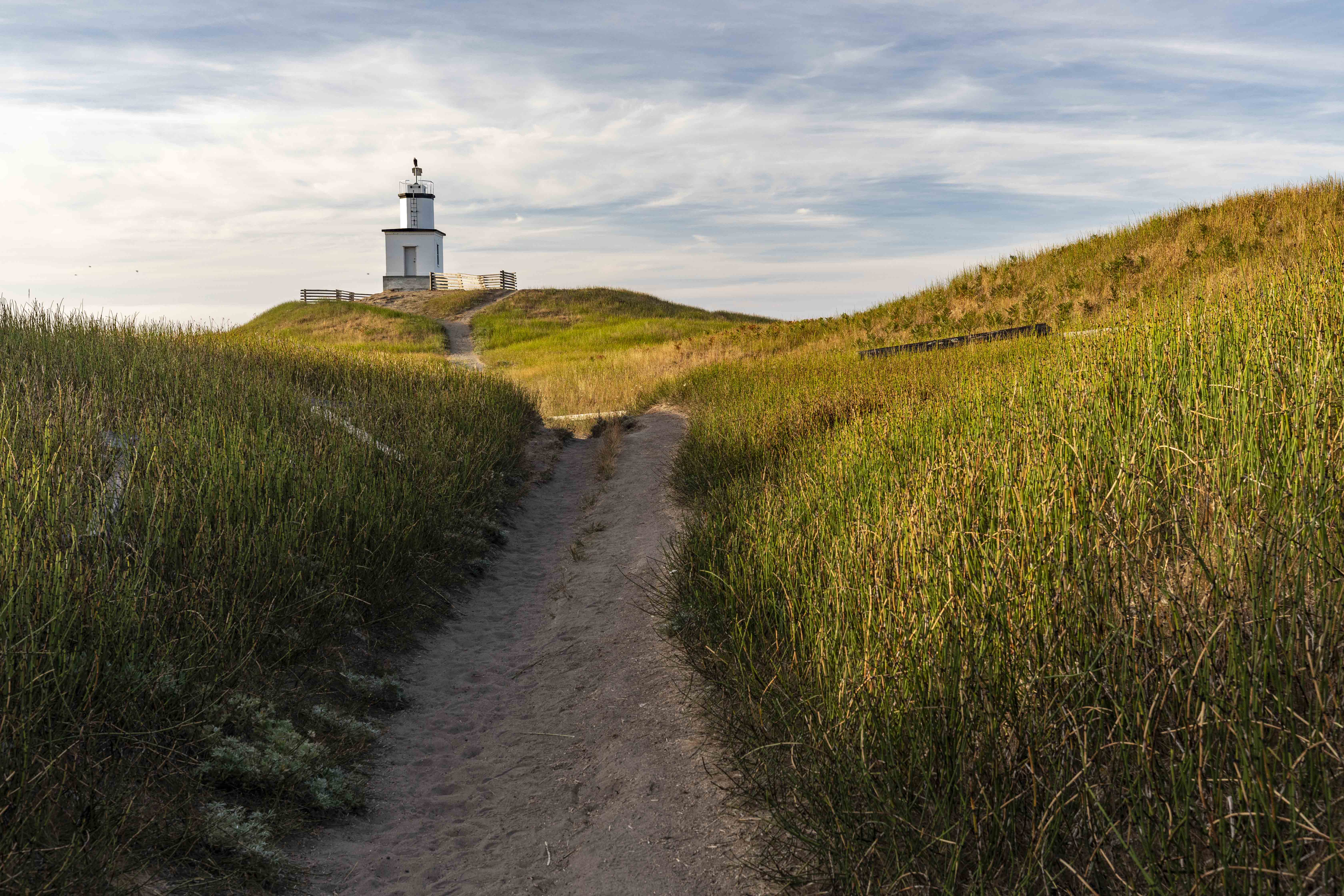
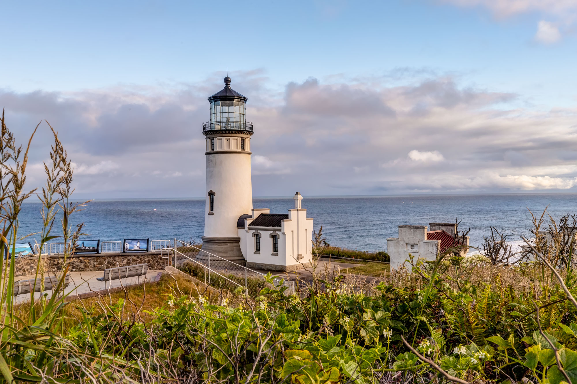
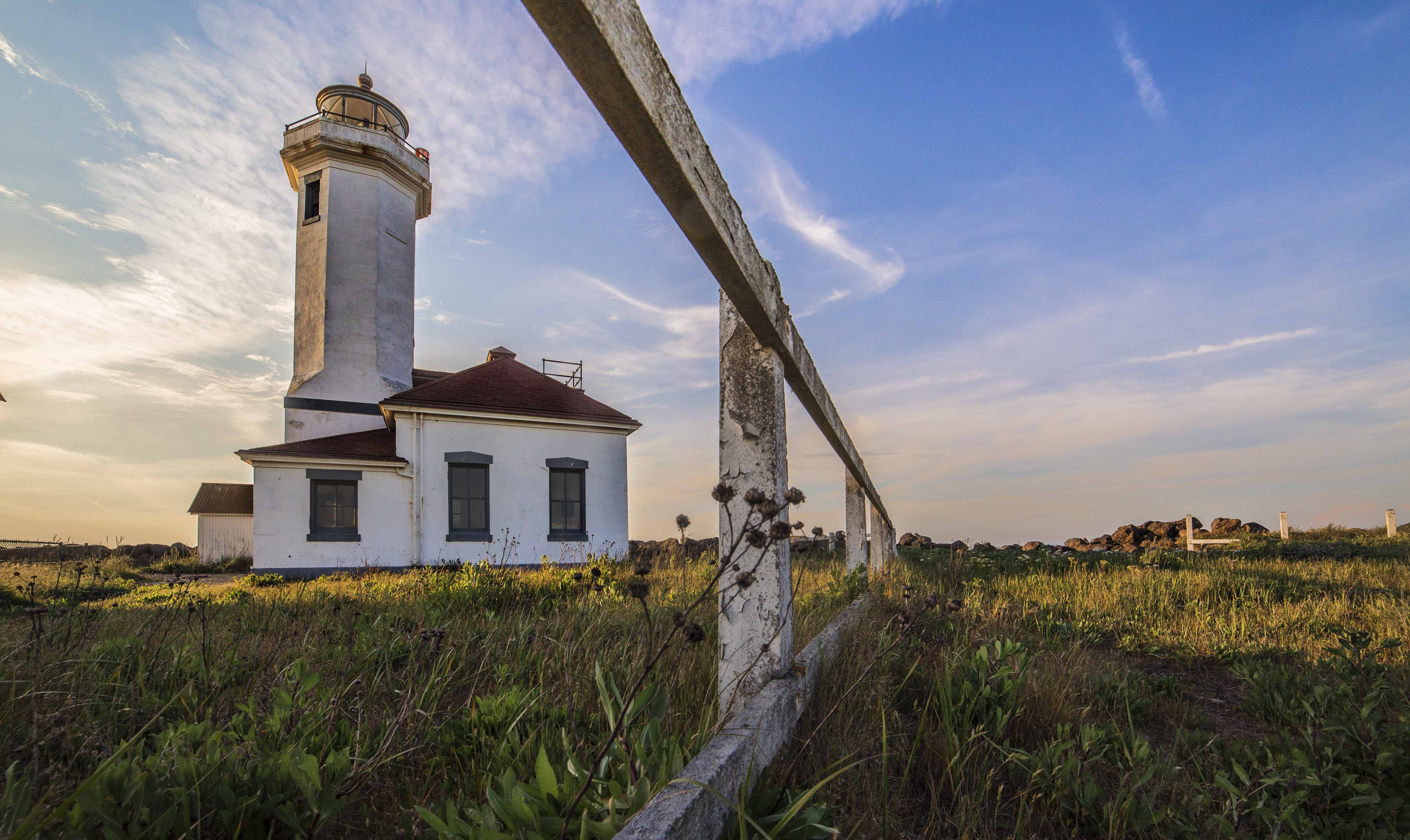
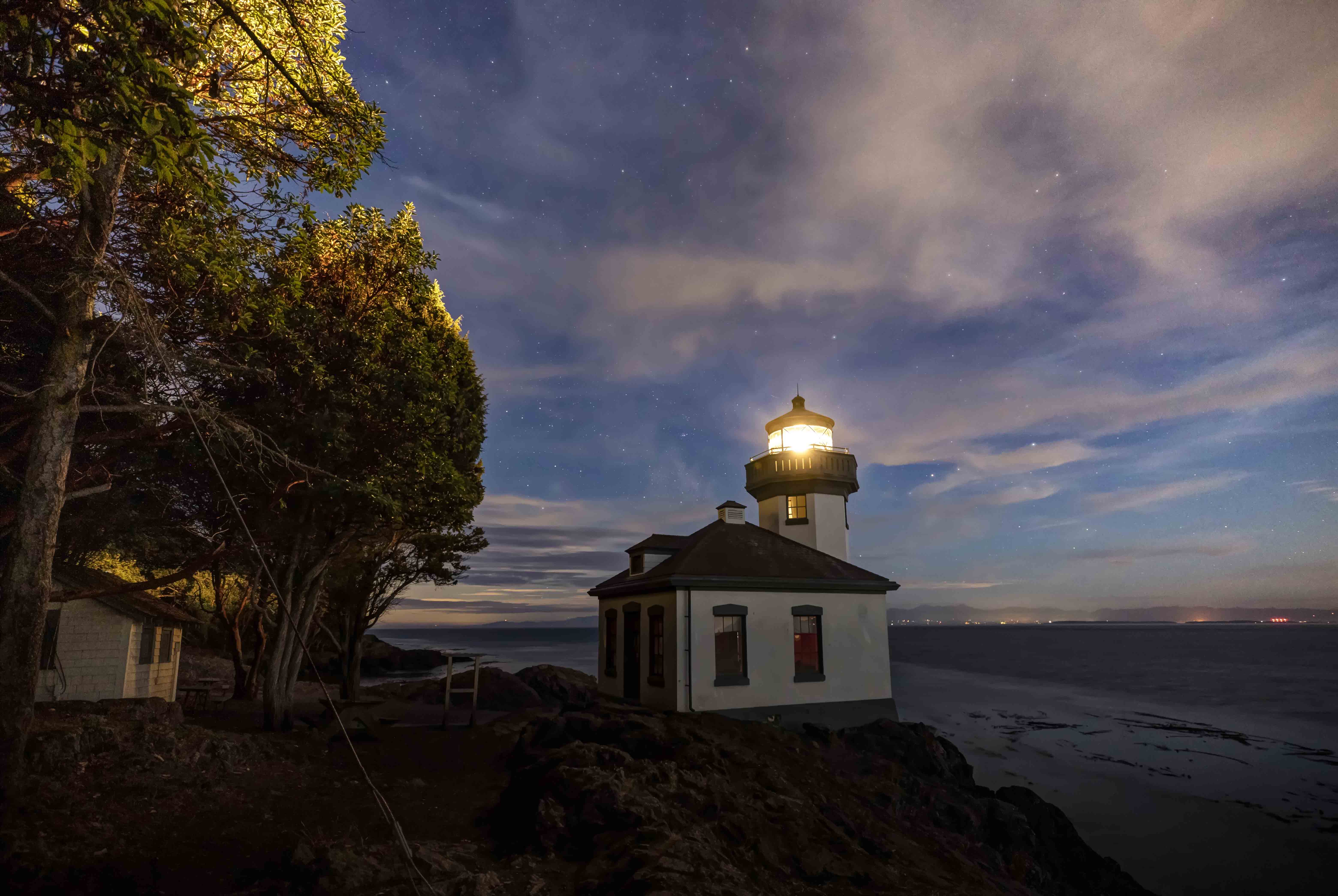
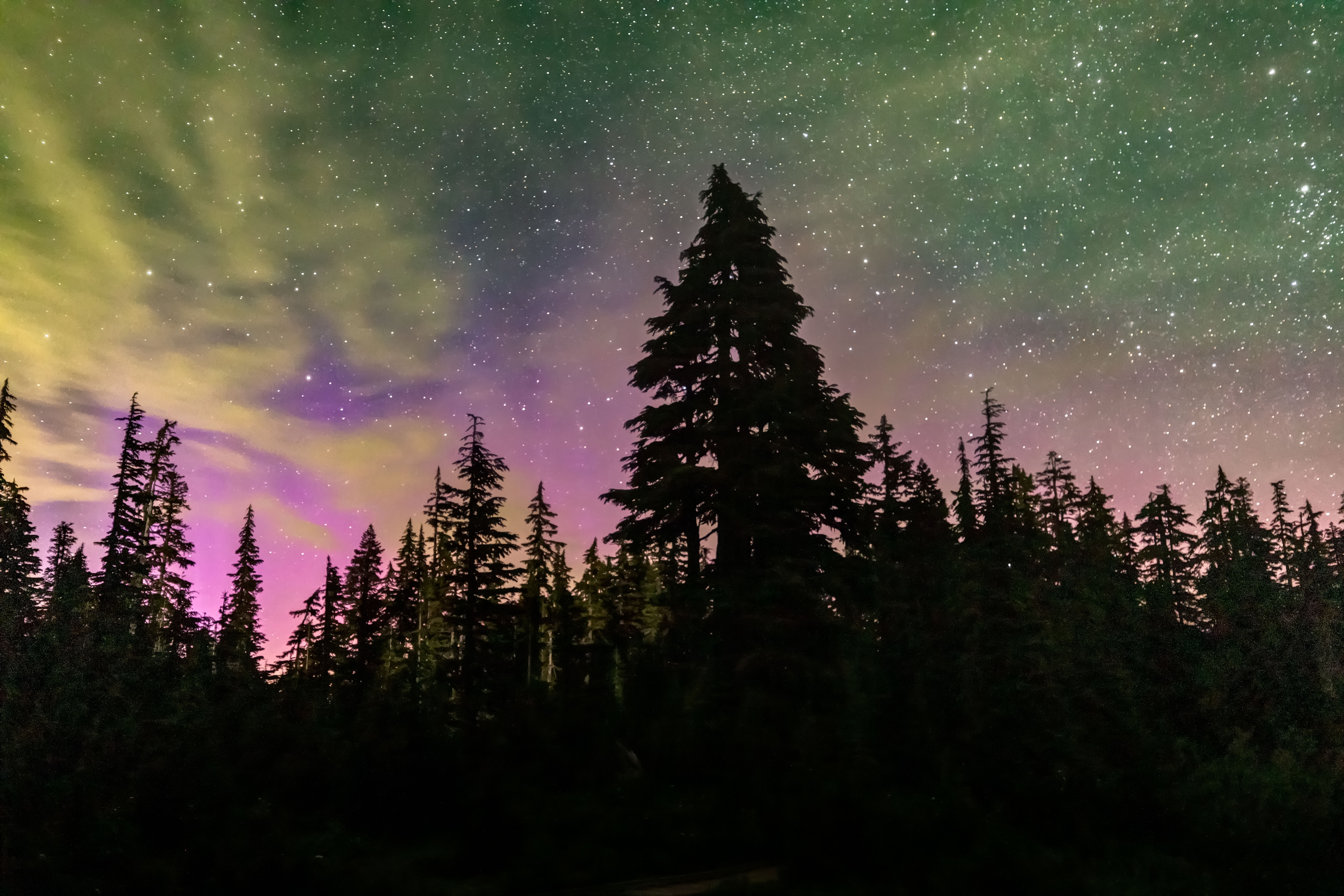
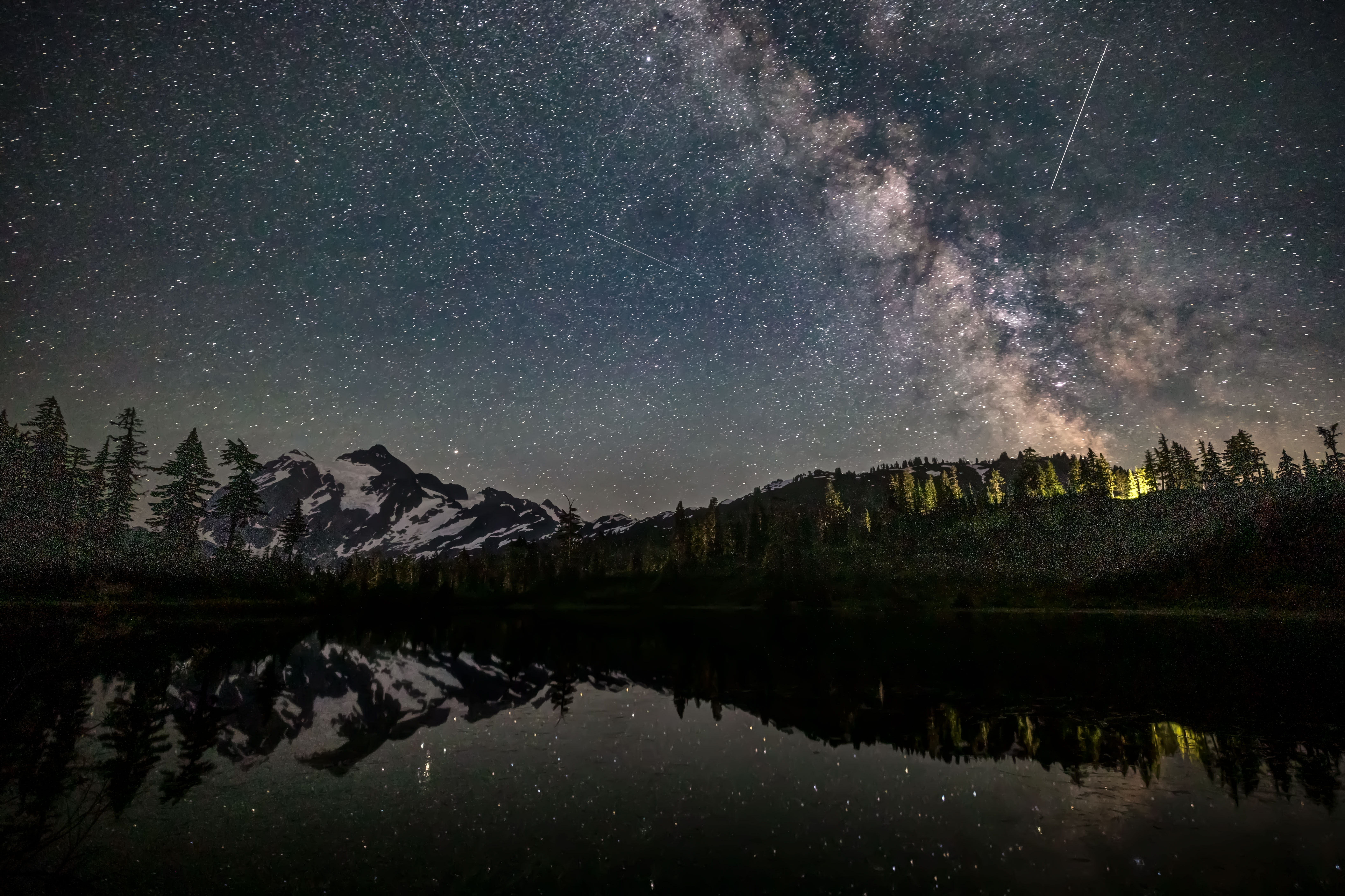
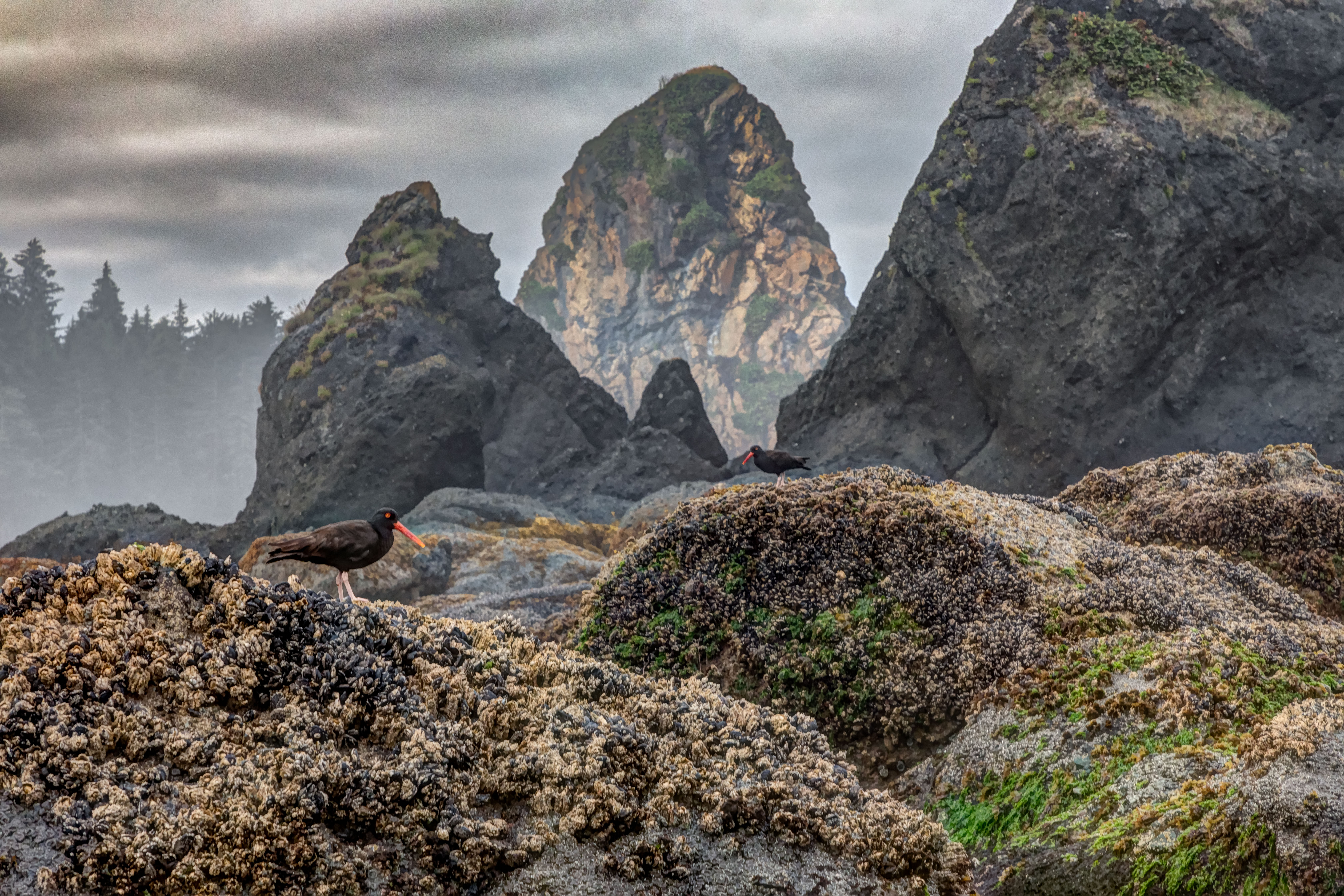
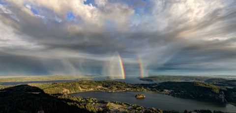
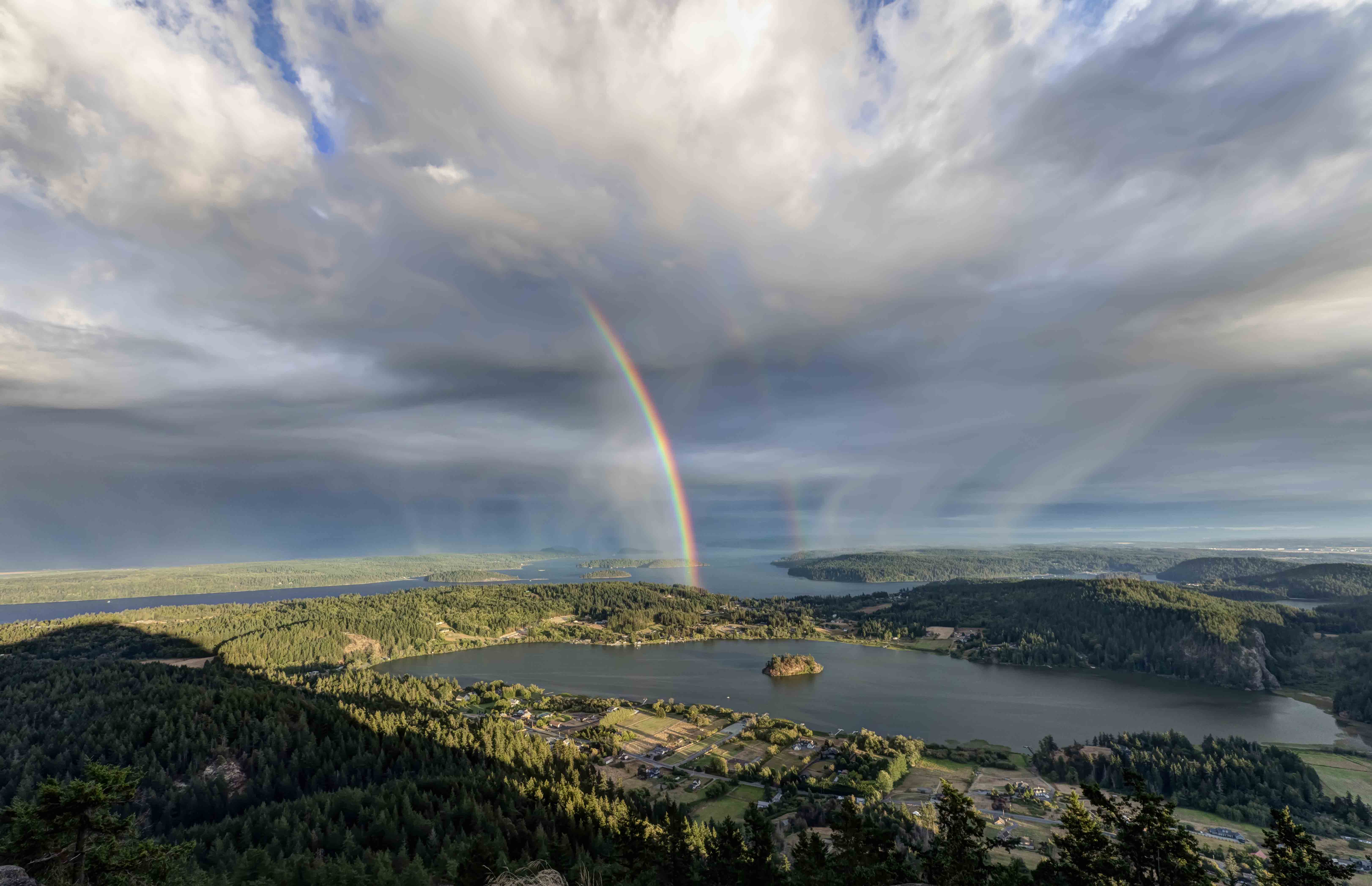
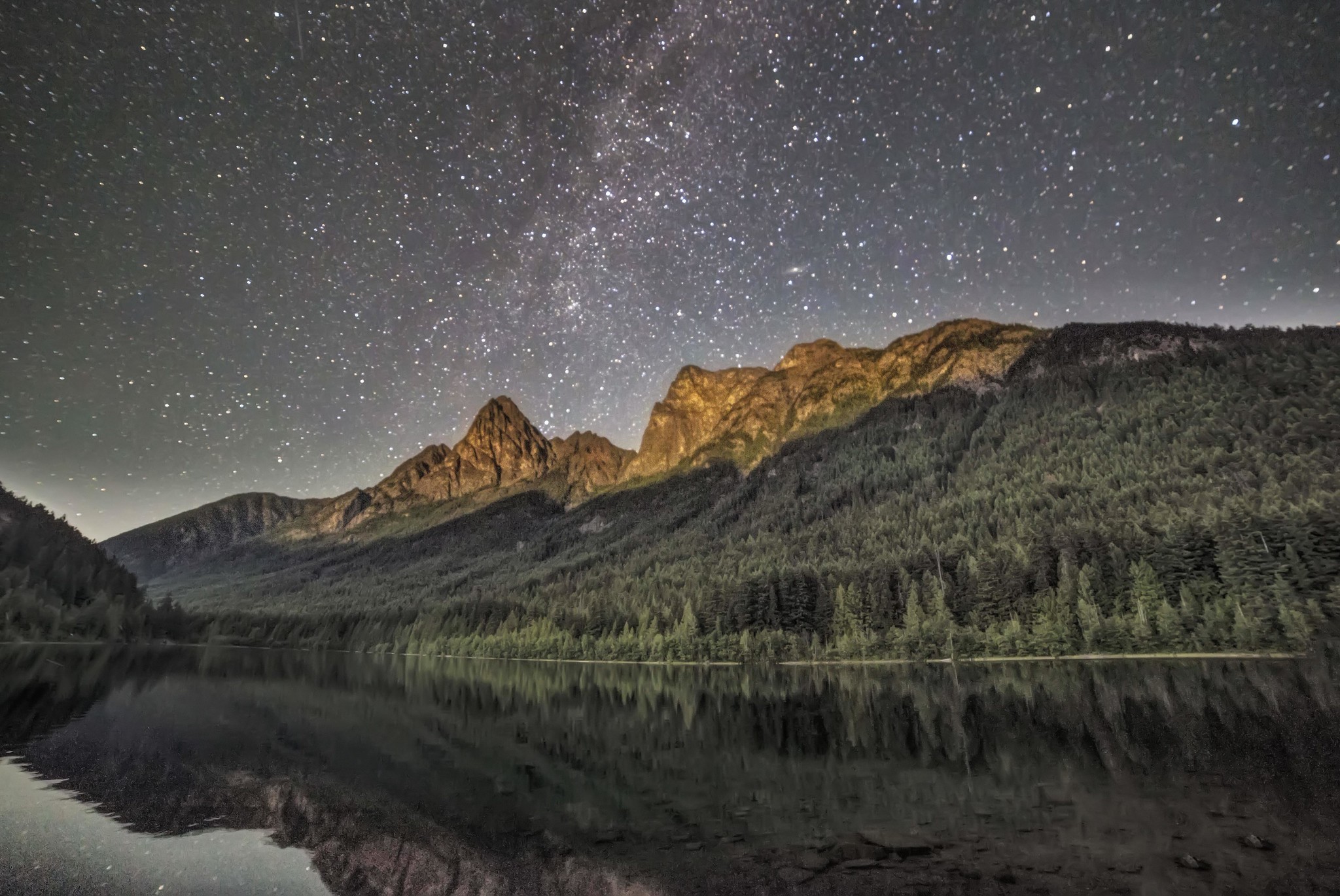
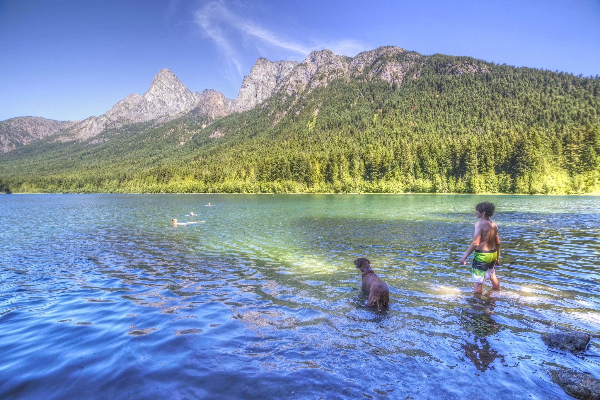
Another time I managed to get a boat ride to Hozomeen and hiked up to Hozomeen Lake. Here are some images from the trip:

Hozomeen Mtn from Ross Lake
Hozomeen Lake

Here is an excerpt from the Wikipedia entry about Hozomeen Mountain:

History

The name “Hozomeen” is derived from Salish, a geographically broad language group of the indigenous bands of southern British Columbia and northern Washington State. The name appeared on a sketch map prepared for members of the first boundary survey of the 49th parallel, ca. 1857-1860, designating the name of the mountain. The map was drawn by Thiusoloc, one of surveyor and topographer Henry Custer’s Salish guides, and like other geographic features labeled on the map, it recorded Salish place names.[3] According to Annie York, a native Salish speaker, “Hozomeen” refers to “sharp, like a sharp knife.”[4] and links the name to the ca. 9,000 year long tradition of indigenous use of Hozomeen chert (a flint-like mineral) to make a variety of subsistence and hunting tools.[5]

Hozomeen North Peak (the main summit) 8,066 feet, was first climbed on September 6, 1904 by Sledge Tatum and George E. Loudon, Jr. of the Boundary Survey, from the northeast.[6] Other routes exist on the South Ridge and Southwest Buttress. The north summit is Washington’s fourth steepest peak, with an average angle from the summit of 38.86°

Hozomeen South Peak elevation 8,003 feet (2,439 m),[7] lies approximately 1 mile (1.6 km) southeast of the higher North Peak. It was first climbed on May 30, 1947 by Fred Beckey, Melvin Marcus, Jerry O’Neil, Ken Prestrud, Herb Staley, and Charles Welsh, via the Southwest Route. While lower than the North Peak, it has a north face which is “almost completely vertical for 1,000 feet.”[6] This makes it the steepest peak in Washington with an average steepness angle of 42.62° from the summit.

Waipio Fruitshack

I drove past the fruitshack on my way to sunrise at Waipio Valley Overlook. On the Big Island, Hawaii.

When the sunrise was finished I made my way back, stopped to gather some images.

Wow, just wow!

Photography Workshops and Photoshop Editing Classes

I am very happy yo to now be offering both Photography Classes and Photoshop Editing Classes now in La Conner. The classes will be help at the Andy Porter Gallery, 306 Morris Street, La Conner, WA 98257

There are 3 Basic Photography Classes, here is a link with detailed descriptions of each class as well as dates/times and registration.

Photoshop Editing Classes

There are 2 Photoshop editing Classes.

The first class, Introduction to Photoshop, is all about editing your images. How to get your images to look like the scene you actually saw with your eyes. The Class takes two sessions or class periods.

I am offering a second Photoshop class as well, a 3 session class where we will do a series of creative assignments where you will learn advanced Photoshop Skills while having fun.

Details for each class, dates, times and registration are all on this link, click here!

Important Note:

To attend the Photoshop Classes you MUST

  • Bring your own laptop computer
  • Have a current subscription to Adobe Photoshop

Andy Porter Gallery in La Conner

I am very happy to announce the opening of the Andy Porter Photography Gallery! It is located in La Conner, Washington, near the mouth of the Skagit River.

The Gallery has Aluminum Prints, Magnets, Greeting and Post Cards as well as really cool Night Lights for sale! Winter Gallery Hours are from 11am to 7pm Saturday and Sunday.

I will be teaching Photography and Photo Editing Classes at the Gallery as well. You can see Class Descriptions, dates and times and register for classes here.

La Conner has a long and interesting history as a center for art. Fish Town was home to an Artists Colony for 20 years. The Northwest Museum of Art is here as well as a host of galleries and shops.

The town is named after Louisa Ann Conner. The Skagit Valley Daffodil and Tulip Festival arrive every spring, March/April, and the valley comes alive with color.

Please stop in and say Hello the next time you’re in town!

The Andy Porter Photography Gallery is located at 306 Morris Street, La Conner Washington, 98257

Grand Canyon, North Rim

I had an opportunity to visit the Grand Canyon for the first time recently, I stayed in a cabin near the Lodge, at the North Rim. I didn’t hike anywhere, really. Just drove about to the various viewpoints.

Wow. The vast space, the light, the colors all left me speechless.

NATIONAL LIGHTHOUSE DAY

Lighthouses are wonderful photographic subjects. Beacons of light, friends to all at sea, symbols of hope lighthouses are grand for many reasons. Here are a few images I’ve captured of lighthouses.

Artist Point and Picture Lake

Artist Point and Picture Lake are located along the Mount Baker Highway.

Picture Lake and Mount Shuksan is one of the most photographed scenes in Washington.

Artist Point is at the upper end of the highway, snowbound most of the year.

a new trip to paradise

Point of the Arches and Shi Shi Beach in Olympic National Park is one of my favorite places on earth.

Murals of Toppenish, Washington

I drove through Toppenish last week, and saw the murals, took a few pics.

Double Rainbows!

I had the good fortune to capture several double rainbows this year.

Here is a series of pics taken in early June from Steptoe Butte. This region is called “The Palouse”, its in southeastern Washington.

Here is another recent set from atop Mt Erie, near Anacortes. That’s Lake Campbell in the foreground.

BOTH of these wonderful rainbow images are included in the 2022 Washington State Scenic Calendar! Have a look at the 12 spectacular images, and you can order your own copy right here.