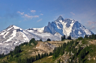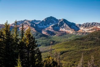

Mount Logan, North Cascades National Park
In the last entry we explored the Northern Unit of the North Cascades National Park.
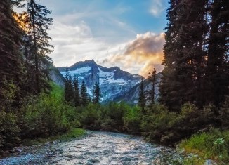
The Southern Unit of the North Cascades National Park is much more accessible than its northern sister. Lake Chelan created a natural route deep into the eastern flank of the North Cascades, a relatively short trek over Cascade Pass crosses into the western zone. This route was used by Native Americans, the village of Stehekin at the north end of Lake Chelan translates to “the way through”.
Once Cascade Pass was considered a possible route for what is now the North Cascades Highway but thankfully now is only reached on foot via a 3.7mile hike.
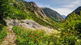
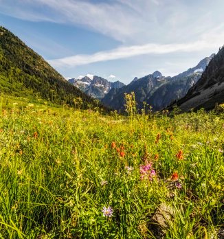
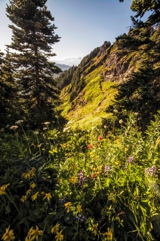
This is probably the most popular hike in the summer, a day hike to Cascade Pass and maybe up and onto Sahale Arm. Late July the wildflowers explode and it’s really a Sound of Music experience…
North Cascades National Park info on trails and permits.
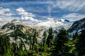
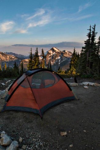
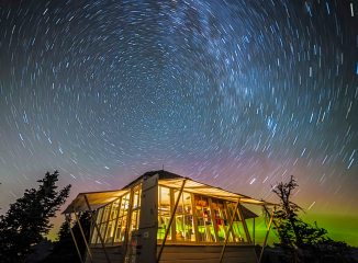
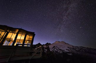
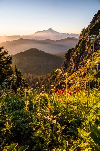
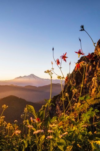
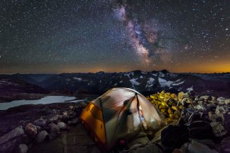
Sahale Glacier Camp is my favorite camp site on Washington. I have stayed the night maybe 15 times.
-

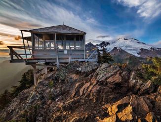
- Sahale Camp
-
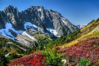
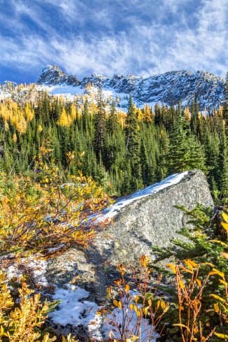
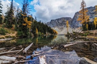
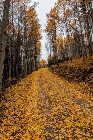
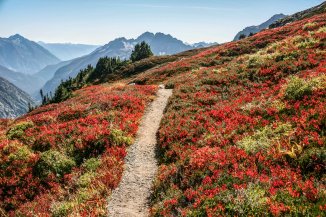
- North Cascades Fall
-

- Sahale Camp
-
- Sahale Camp
-

- Sahale Camp
-
- Sahale Camp
-

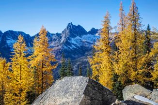
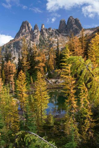
- Sahale Arm
-

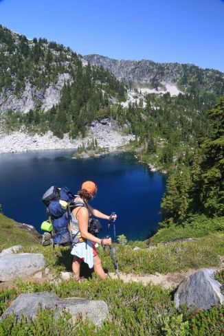
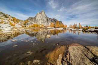
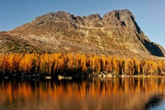
- Doubtful Lake
-

- Sahale Arm
-

- Sahale Camp
-
- Sahale Camp
-
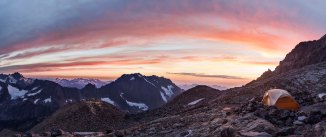
- Sahale Camp Panorama
-
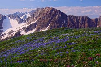
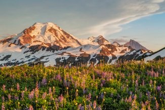
- Lupine and the North Cascades
-

- Sahale Camp Visitor
-

- Sahale Camp
-
- Sahale Arm
-

- Doubtful Lake
-

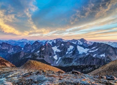
- Cascade Pass
-

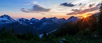
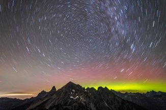
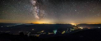
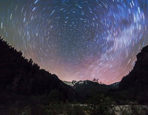
- Sunset at Sahale Camp
-

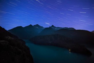
- Sunrise at Sahale Camp
The North Cascades National Park turns 50 this year! In October, 1968 the park was officially established. Lauren Danner has recently written a wonderful book “Crown Jewel Wilderness: Creating North Cascades National Park” that chronicles the efforts of many to protect the North Cascades.
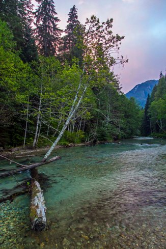
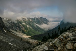
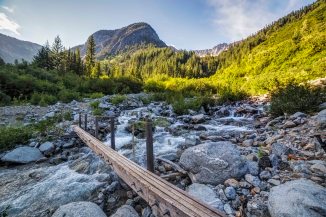
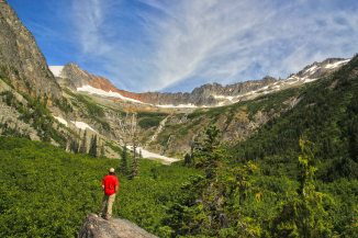
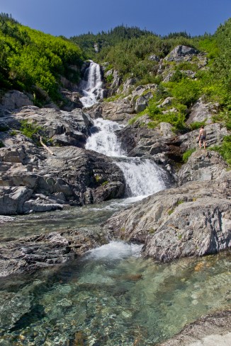
From Cascade Pass the trail continues east, dropping through Pelton Basin, and then down the Doubtful Creek drainage. The trail bisects the creek in a wonderful spot on the way down…
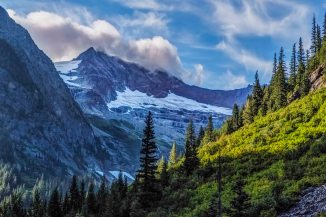
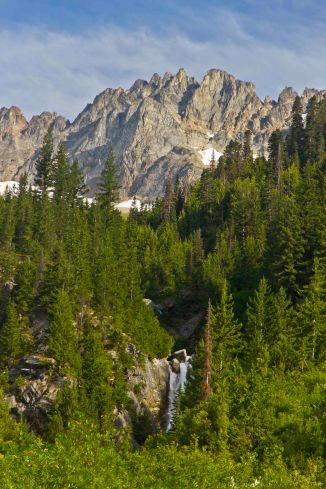
Before you reach Basin Creek there is a spur trail heading around the shoulder of Sahale Peak and up to Horseshoe Basin. This is NOT a trail to pass up. It’s a short way up into the basin, a wide semicircle of granite teeth sit in a bed of ice, glistening. Impossibly green swards of meadow slash below and bright blue gleams above… you get the idea.
The upper basin is the home of the Black Warrior Mine. A going concern as recently as the 1950’s, the opening to the mine is carved into the headwall of the valley, several rooms are accessible, littered with the detritus of past inhabitants. A road once led from the mine entrance to Cottonwood Camp, and Stehekin, but little by little nature has won back. As recently as 2003 there was a tour bus that ran a daily route from Stehekin to Cottonwood Camp, barely 11 miles from Cascade Pass!
-

- Cascade Pass
-
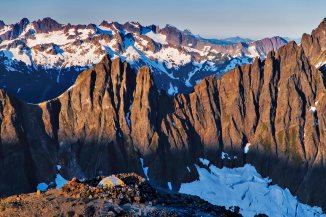
- Horseshoe Basin
-

- Basin Creek Bridge
-

- Horseshoe Basin
-

- Upper Horseshoe Basin
-

- Horseshoe Basin
-

- Cascade Pass
-
- Doubtful Creek
-

- Horseshoe Basin
-

- Black Warrior Mine
-

- Black Warrior Mine
-

- Black Warrior Mine

-

- Black Warrior Mine
-
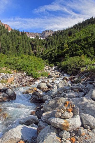
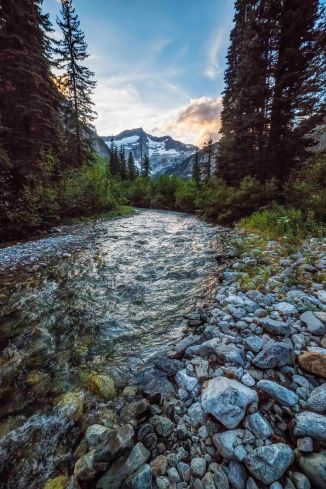
- Basin Creek
-
- Basin Creek
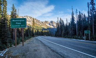
The American Alps Legacy Project is a coalition working to protect more than 237,000 acres of pristine wild country, from Baker Lake to Washington Pass. Their proposal is to expand the North Cascades National Park. You can learn more here.
In the next post we’ll visit Stehekin, Park Creek Pass and the North Fork of Bridge Creek.
Fine Art and Canvas Prints of these and more images here.
Information about North Cascades Photo Tours here.

Buckner Mountain from Park Creek Trail
These are just a few of the many spectacular hikes in the park. Your opportunities for adventure are endless.
I am planning trips to both Whatcom Pass and Park Creek Pass this summer, to celebrate the 50th Birthday of the Park.
Hope to see you out on the trail.